Distance: 14.6 miles (23.5 km) plus 5-mile shuttle
Time: 6 hours
Elevation gain: 4,100 feet (1,250 metres) gain, 3,100 feet (945 metres) loss
Difficulty: terrain-wise, easy; navigation-wise, easy; fitness-wise, moderate
Drive: 10 minutes (6 miles) from old town Pasadena, northeast up to the Mount Wilson / Pinecrest gate at the eastern end of the Pinecrest Drive loop (check for weekend parking restrictions around here)
CaliTrails has a decent description, an excellent map, and some lovely photos here
The route starts at Pinecrest Gate on Pinecrest Drive, Altadena and ends at the Sunset Ridge trailhead at the top of Chaney Trail (Google Maps currently has it marked as Brown Mountain Truck Trail). It’s about a 5-mile, 15-minute drive between the two, so make sure you have battery left for calling your taxi service of choice. You could also leave a second car in the Sunset Ridge car park if there’s a group of you.
This time we wanted to do something close to home, and decided on this, our first proper shuttle hike. It felt oddly different, especially on the latter reaches of the walk, knowing we weren’t trying to get back to where we’d started: that however long we had left had nothing to do with where we’d come from.
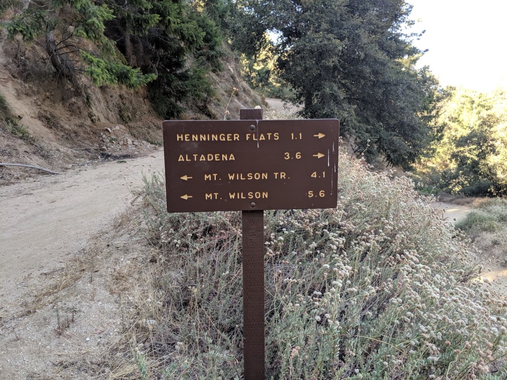
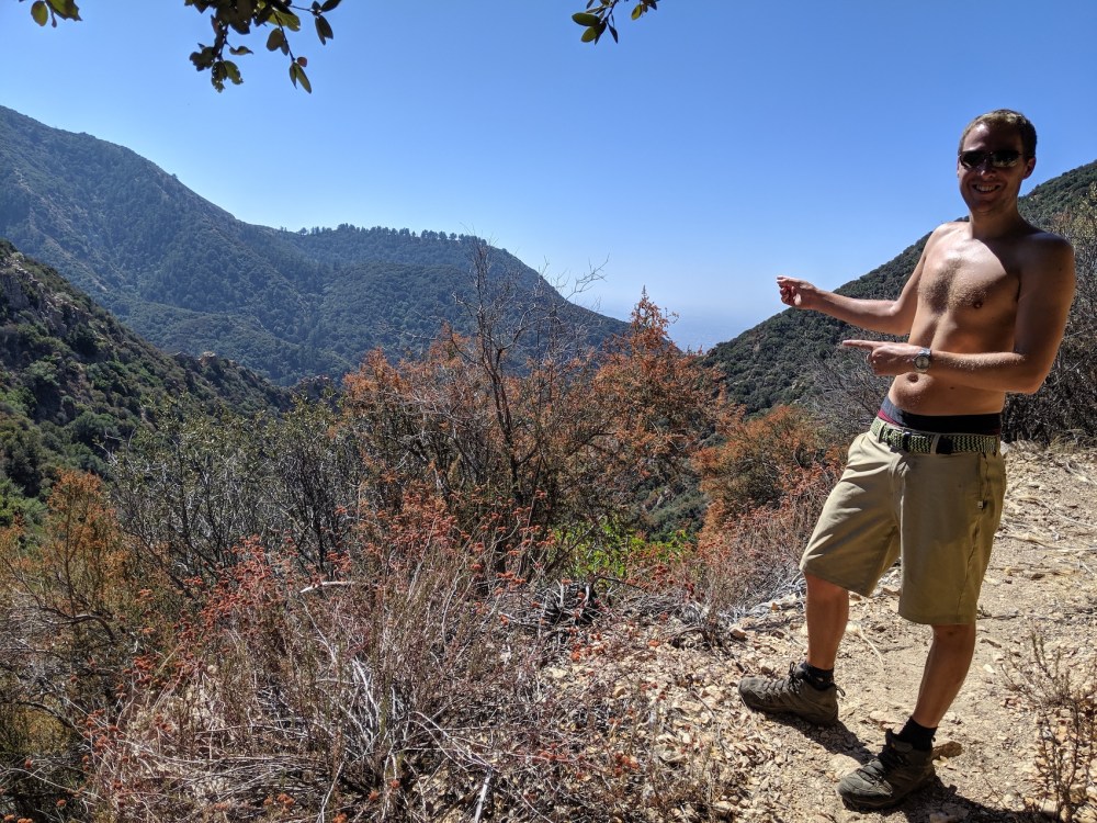
The route begins with the very first LA hike we ever did: Eaton Canyon up to Henninger Flats. If you park on the road near the Pinecrest Gate, just head down the slope, over the bridge, and continue on to follow the fire road all the way up to Henninger (3 miles / 4.2 k and 1 hour). We did it early in the morning (well, early for us: starting at 8ish), so it was still pretty cool despite it being September, LA’s hottest month, but it’s all south-facing and more or less tree-less, so the zigzags can feel a bit relentless.
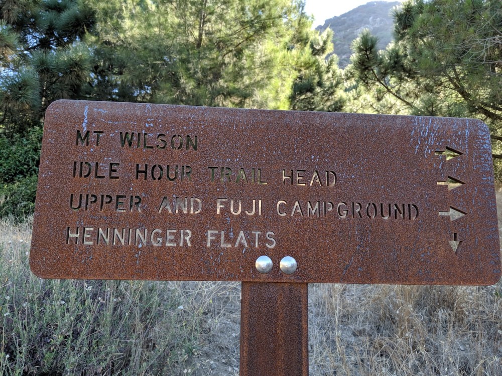
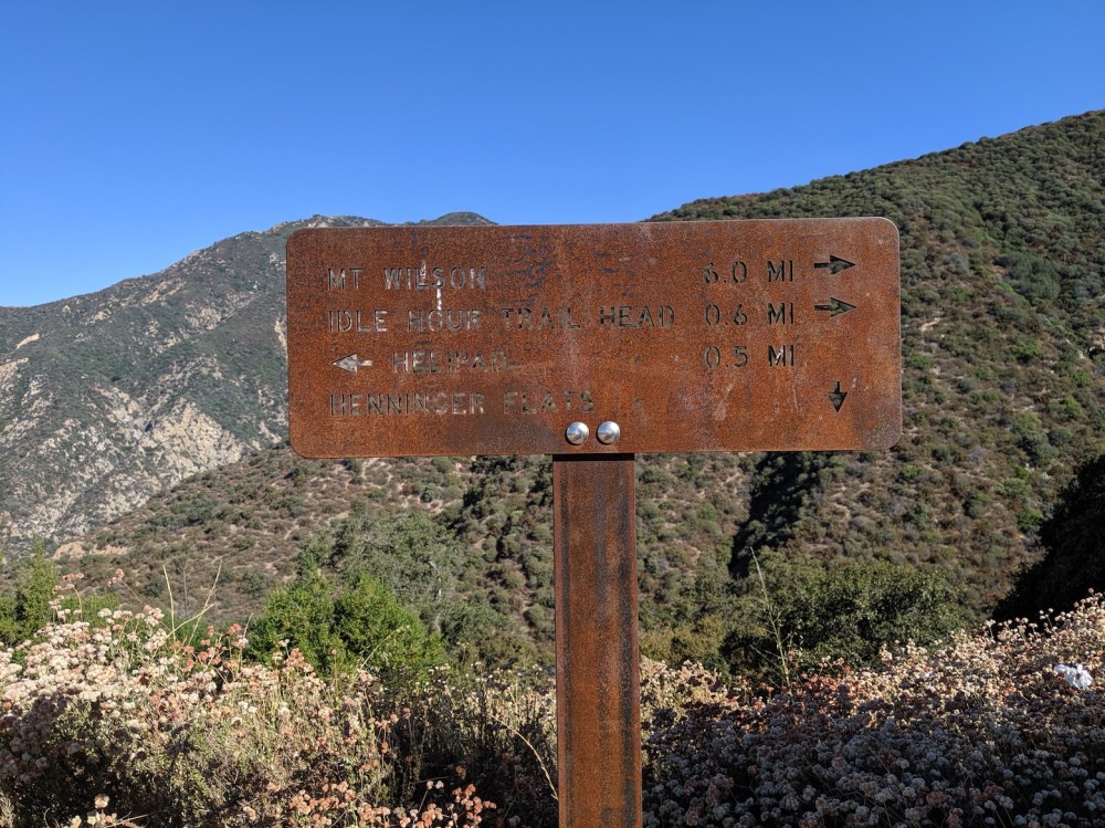
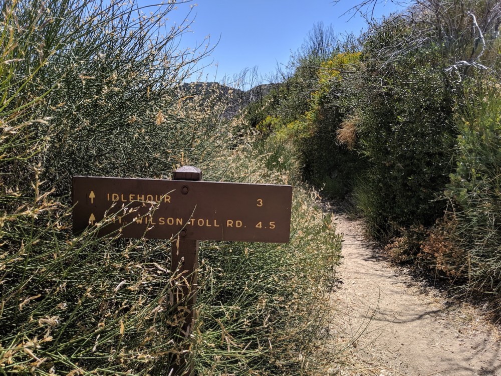
At Henninger, once you’ve taken in the downtown views, walk through the campsite and continue along the Mount Wilson toll road to the north, following the signs for Idle Hour trailhead after about 5 and 20 minutes. 35 minutes and 3.8 miles (6.1 km) after leaving Henninger, the toll road kinks to the south and the start of the trail is marked by a little wooden bridge and two big yellow signs warning you about dangerous rocks and trees and things.
After a short incline (0.3 mile / 0.5 km), you cross a little ridge and start the descent (850 feet) into Upper Eaton Canyon, a lovely big bowl created by the peaks of Wilson and San Gabriel to the north and Lowe to the west. At 5.6 miles (9 km) and 2 hours 20 minutes total, you reach Idlehour Camp, as uninspiring a setting as almost every campground round here: gloomy and viewless and fly-bothered. I suppose that’s where lots of people must like to spend their evenings. (See here for a better option.) A few minutes later there’s a more appealing stopping point: a bit of stream nice for paddling in.
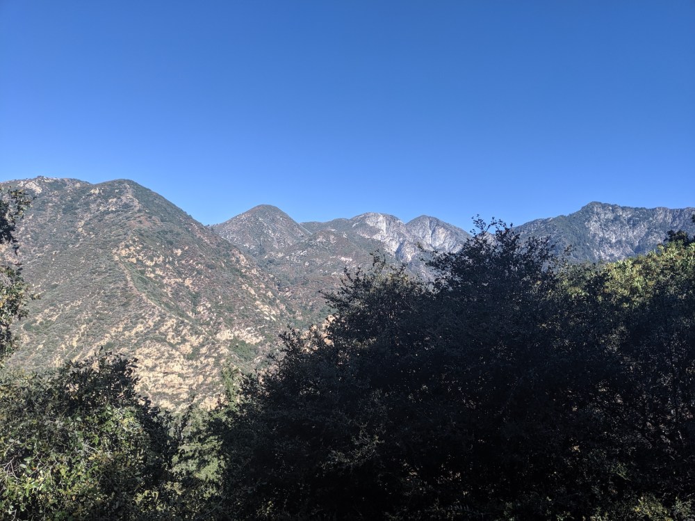
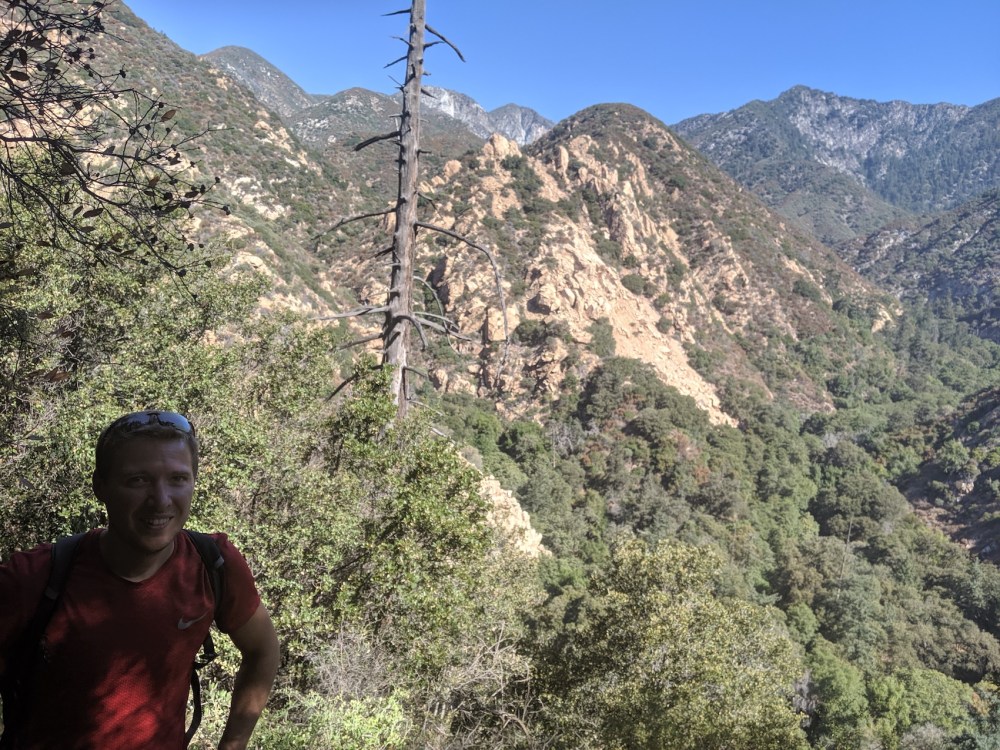
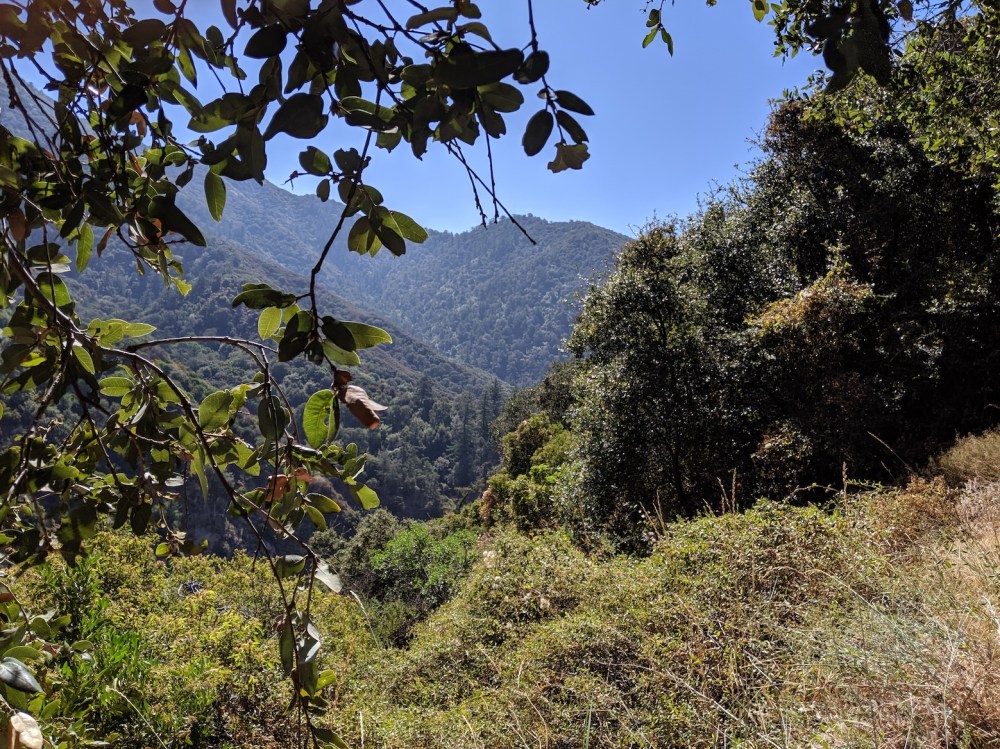
Then there’s some slightly tedious tramping along forested bottom of the bowl, still in a generally northward direction, and starting to climb gently. Just under an hour later (7.6 miles / 12.25 km, 3 hours 15 minutes total) you cross the stream, and soon afterwards the trail hooks briefly round to the south. After another kink the other way, the rest of the stretch north-west up to the Mount Lowe railway is a lovely opening-up of views again, with Wilson’s masts and its green-carpeted western flank emerging behind you. This area gets more rainfall than most of the San Gabriels, so there are also the novelties of moss and ferns to enjoy at foot level now and then.
After 9.6 miles (15.5 km) and 4 hours 5 minutes we reached the junction with the Lowe railway and headed a minute or two south (left) along the track to crawl under a bush and down an IPA. Ten minutes later we returned to the junction and took the track straight ahead (if you’re coming out from Idlehour) marked for Sunset Ridge and Mount Lowe campground. You could also continue on the railway track south (left) for about a quarter of a mile if you wanted to check out Inspiration Point first. The Calitrails route description linked to above also offers two other options for the remaining descent: Castle Canyon or Middle and Lower Sam Merrill. These make for a shorter shuttle at the bottom, though a longer descent elevation-wise. We considered these, but felt like easy-going big-viewed fire road for the rest of the day, so opted for the Mount Lowe railway and Sunset fire road.
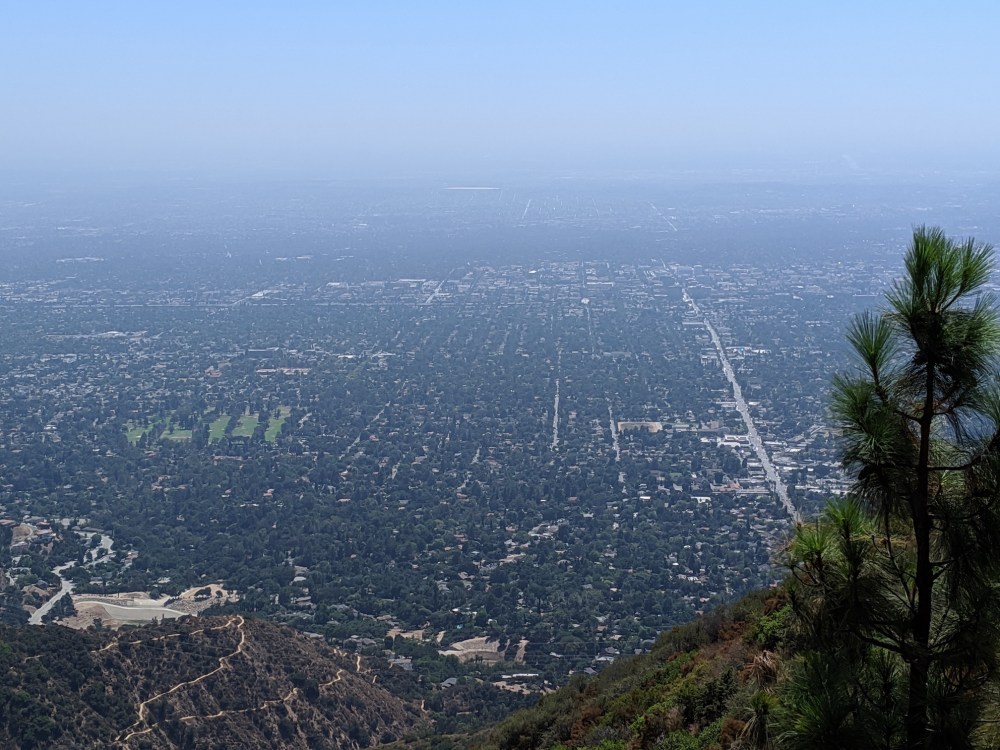
It’s all plain downhill southwest sailing from here, with some nice informational signs en route describing the history of the railway. Exactly an hour (12.1 miles / 19.5 km and 5 hours 5 minutes total) we reached Dawn Station, and 10 minutes (and 0.6 miles / 1 km) after that, Echo junction. All this cityward stretch, we loved the LA views, and the south-facing heat, and the miles disappearing so easily under our feet. Just after 2 o’clock, 6 hours after we set off, we got to Sunset Ridge trailhead and called an Uber, and we were soon back in the strange world of internal combustion and air conditioning.
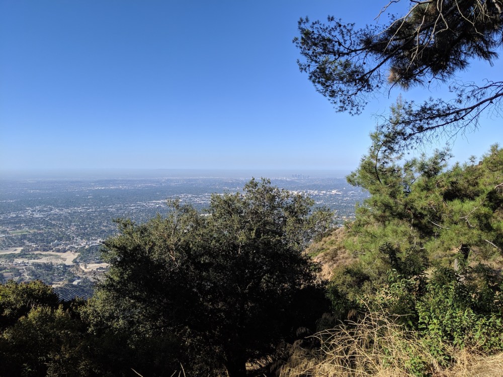
Breakfast spot at Henninger.
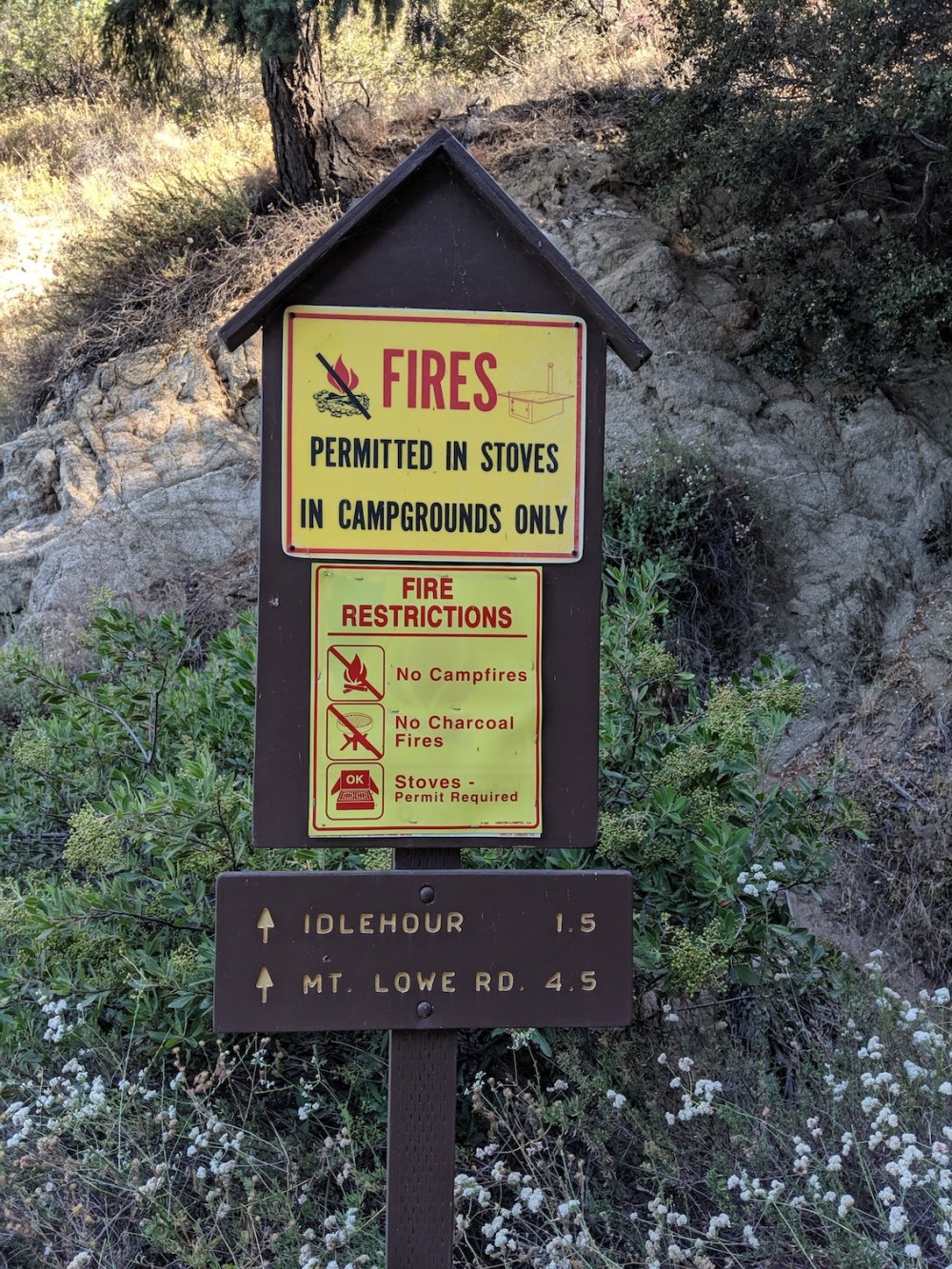 So much helpful signage!
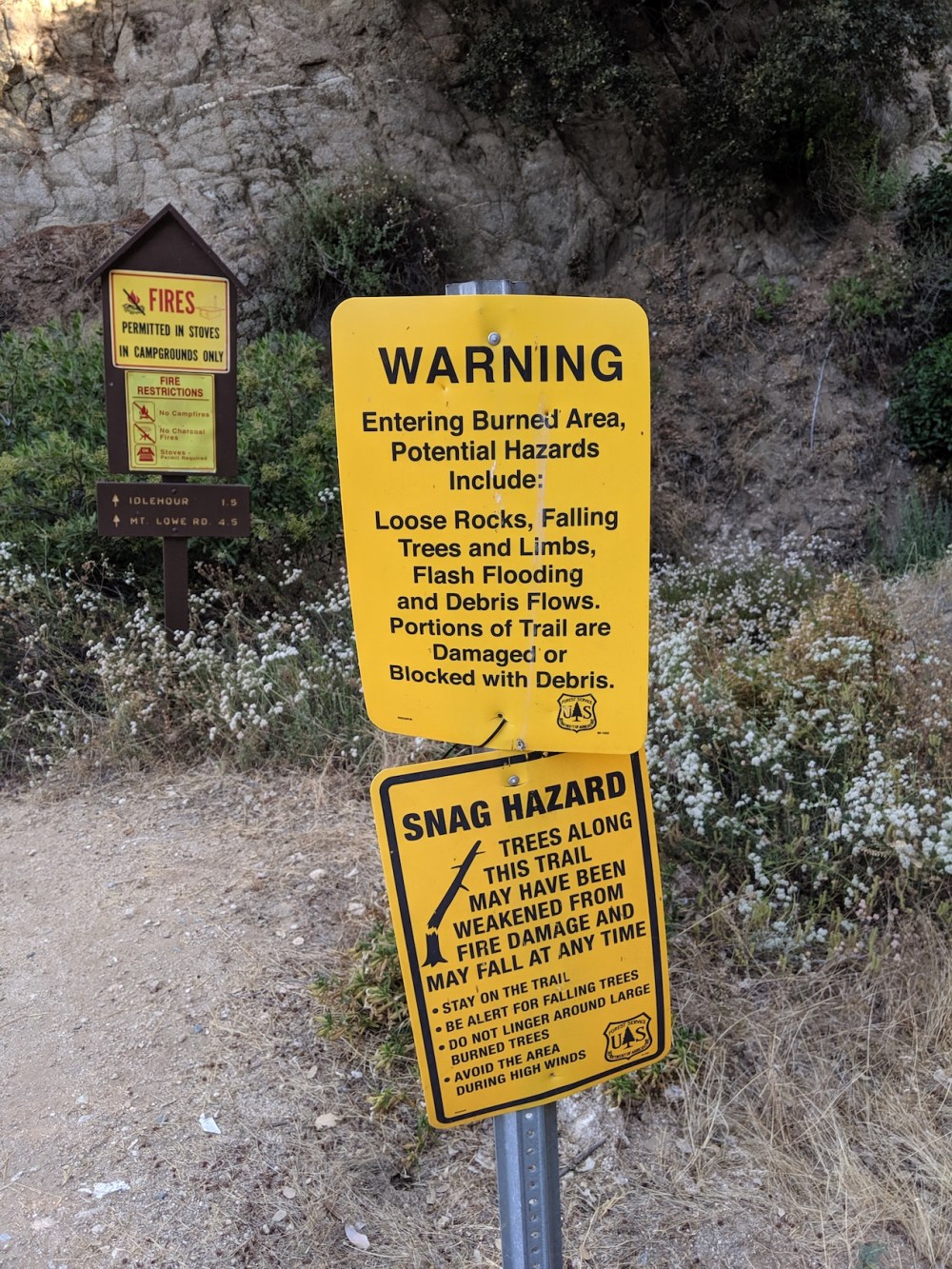
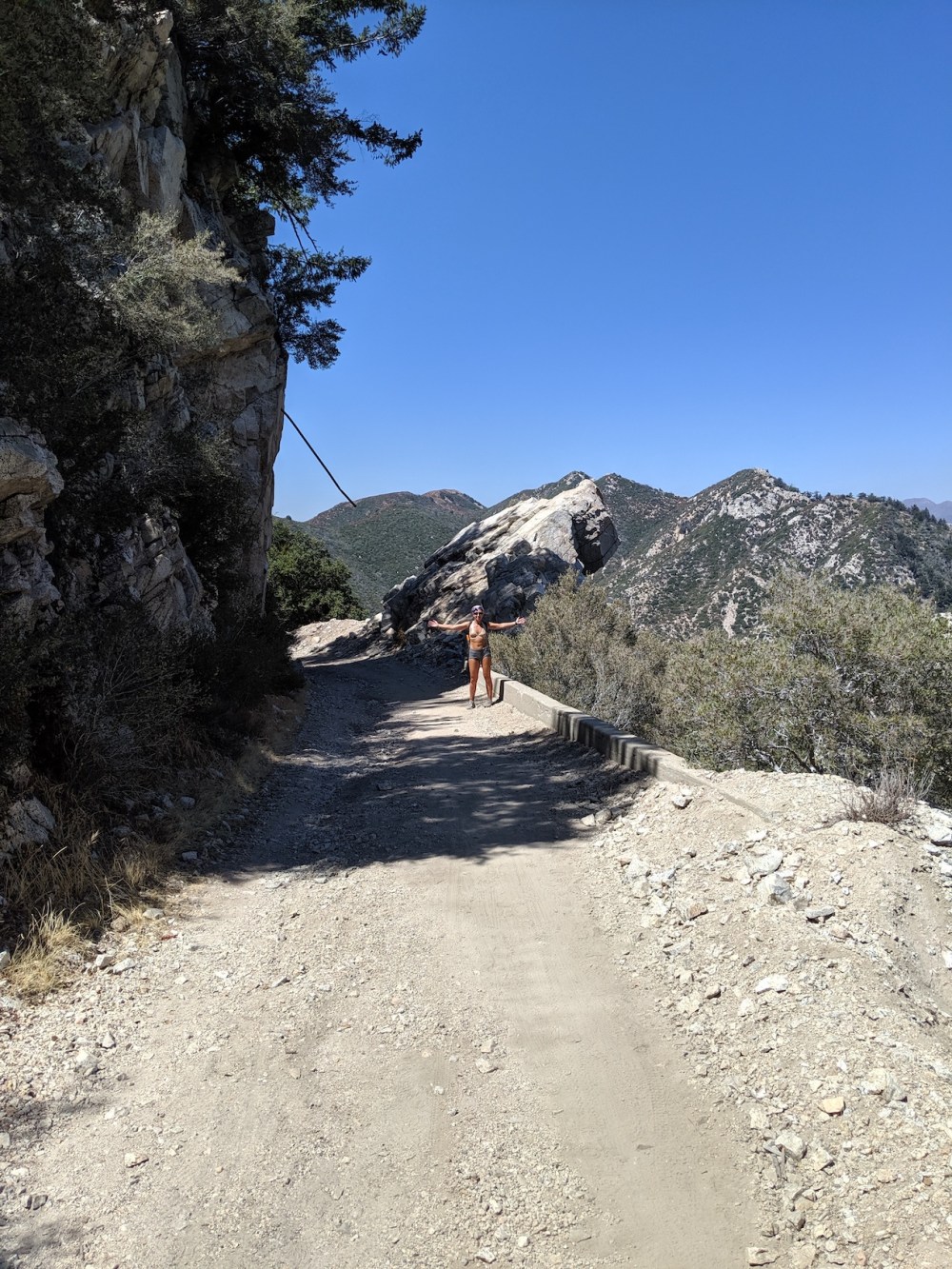
So much danger!
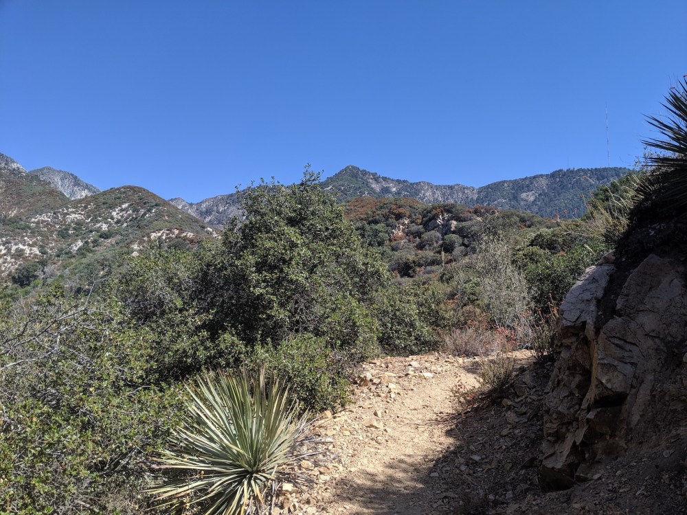
The sentinels of the bowl, 15 minutes into the Idlehour trail.
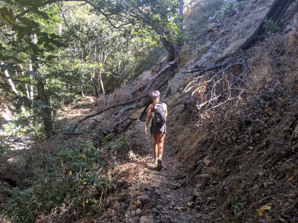
Down in woodland near Idlehour campground.
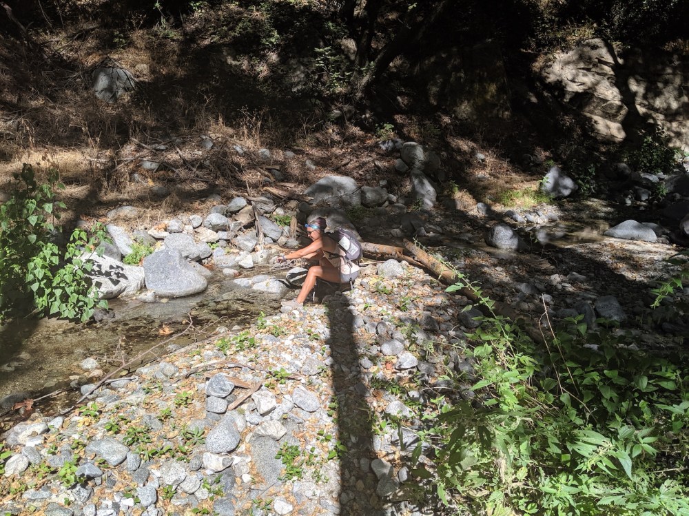
Skin refreshment stop.
Climbing back out of the bowl
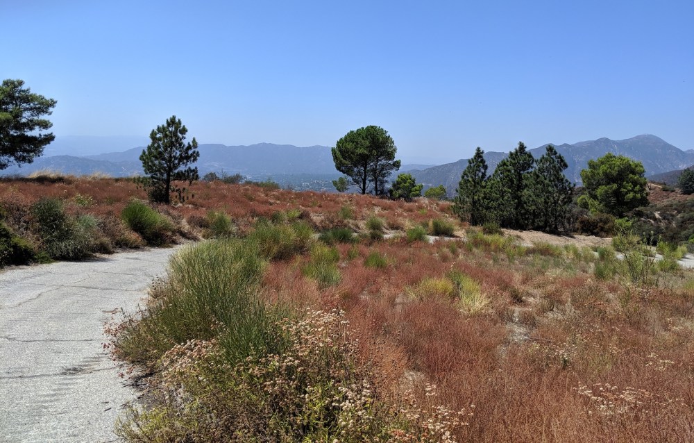
Green Wilson views to the east.
Northwesterly views.
Looking back at the entrance to the western end of the Idlehour trail, from the Mount Lowe railway junction.
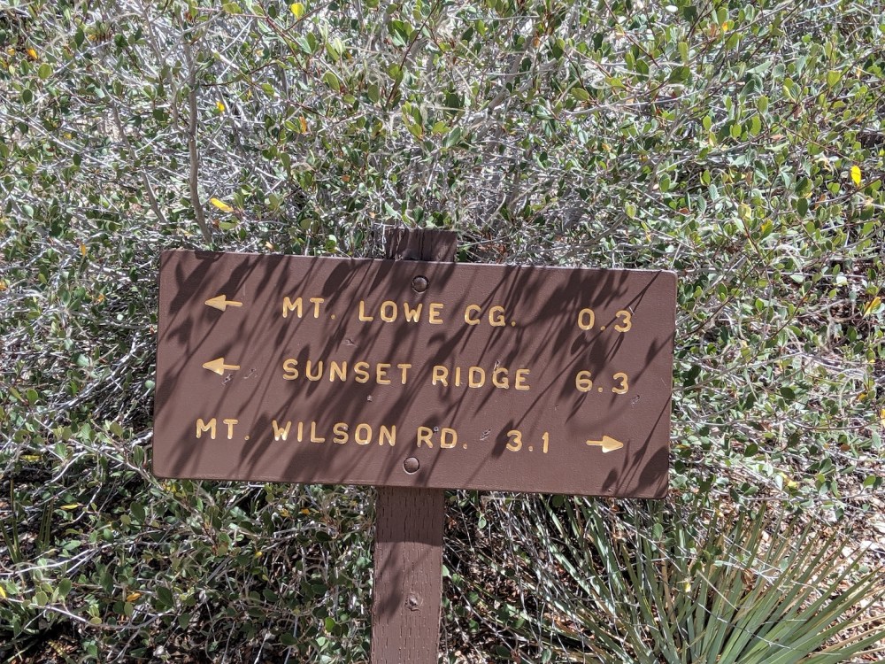
Just across from the Idlehour sign, the sign marking the start of the Sunset fire road.
Old railway paraphernalia.
Verdugo views.
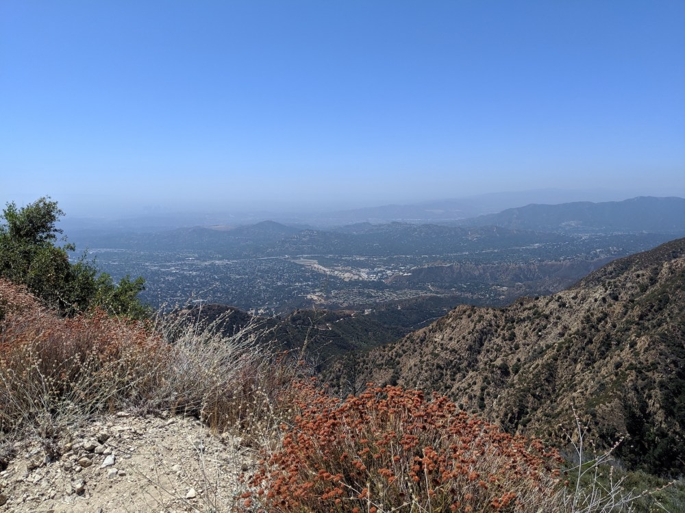
Altadena haze.
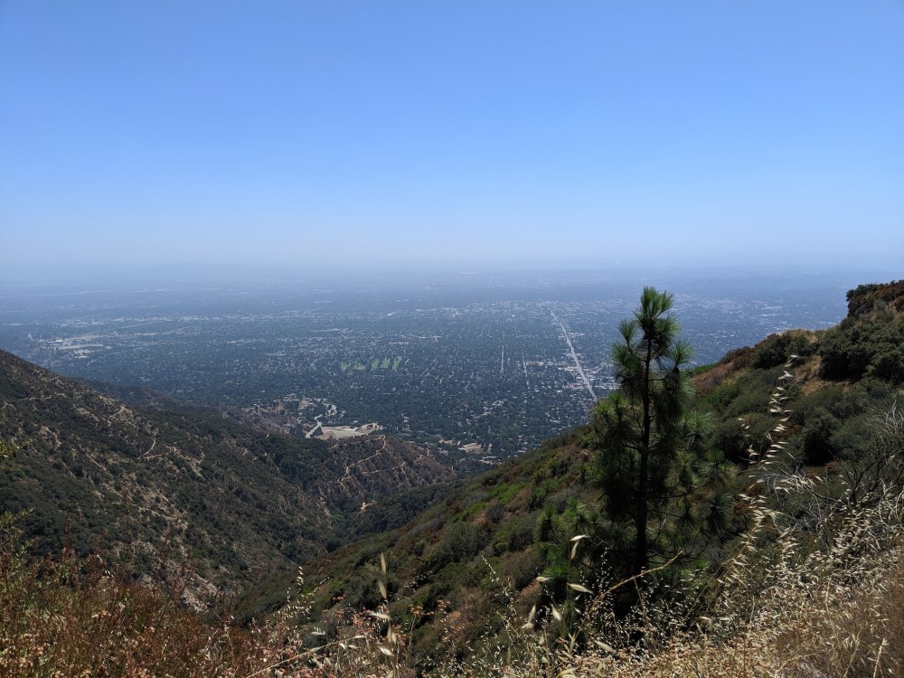
Dropping down towards suburbia.

One thought on “Eaton Canyon to Mount Lowe railway”