Distance: between 3 and 8.8 miles (4.8 to 14.2 km) depending on which variant you fancy
Time: between about an hour and a quarter and 3 hours
Elevation gain: Mount Lowe (5,604 feet / 1,708 metres) is 484 feet (148 metres) above your starting point, and the slight descent to Inspiration Point doesn’t add much (sorry to be vague!)
Difficulty: terrain-wise, mostly easy; navigation-wise, easy; fitness-wise, easy
Drive: 30 minutes (23 miles) from old town Pasadena, via the 210 and the 2 to Red Box, and then up the Mount Wilson Road to Eaton Saddle trailhead
Modern Hiker’s description is here
There are plenty of more serious hikes you can make Inspiration Point part of (for example, you can connect it up with Dawn Mine, add it to exploration of San Gabriel Peak and Mount Disappointment, or you can follow the Mount Lowe railway up from Altadena (see Modern Hiker’s account here) or even come up via Henninger Flats from Eaton Canyon Park, as in Trails of the Angeles‘s hike no. 28), but here are three options if you want to get out of town for pretty mountain and city views but don’t fancy anything long or strenuous.
The first variant is a nearly-flat stroll, the second and third add in a peak (from one of two directions).
For the stroll (7 miles / 11.3 km round trip): You start at the car park at Eaton Saddle and follow the Mount Lowe Road first west round the flank of Mount Lowe itself, then meandering gently downhill to the south, keeping left on the main track where a trail goes off to the right at Tom Sloan saddle, 1.8 miles in. Continuing southeast and slightly down, it’s another 1.7 miles to the Point, ignoring the Echo Mountain trail at 3.3 miles in, where the road turns into Muir Peak Road. Enjoy the ‘interpretive site’ that is the Point, complete with its collection of photogenic ‘finding tubes’ – more or less useful depending on haze levels – and go back the way you came.
For a mini-stroll plus peak (3 miles / 4.8 km round trip): after 0.5 miles of the Mount Lowe road, you come to a junction where the road carries on ahead of you sloping gently downhill and a small trail heads off to the right, up San Gabriel Peak. On your left, the Upper Sam Merrill trail peels off, hugging the Mount Lowe road for a while, just a bit higher up the slope, before reaching a small saddle and heading straight up to the summit (a total of about 1 mile from where you left the main track). Retrace your steps back to the car.
A third option is to do the stroll but taking in the Mount Lowe peak on your return instead of on the way out (5.4 miles / 8.7 km on the east trail, 6.6/10.6 on the west): after about the first mile of Mount Lowe Road back from Inspiration Point, keep your eyes peeled for the start of either the Mount Lowe east trail (after 1.1 miles) or the Mount Lowe west trail (after 1.3 miles) leaving the road on the right. We did this once when the track was starting to feel a bit tedious on second treading!
OK, and here’s a fourth, just for the hell of it (add 1.8 miles / 2.9 km there and back): Once, just out of curiosity, we also continued along the track (and what was a small ‘one man and mule’ railway) past Inspiration Point, to the water tank that marks the end of the Muir Peak Road. When you set off back you can also cut the corner and make it a bit more fun by climbing a use trail straight up behind the water tank.
The point is, plenty of possibilities round here! Enjoy concocting your own routes. Here are some photos from a mixture of ours.
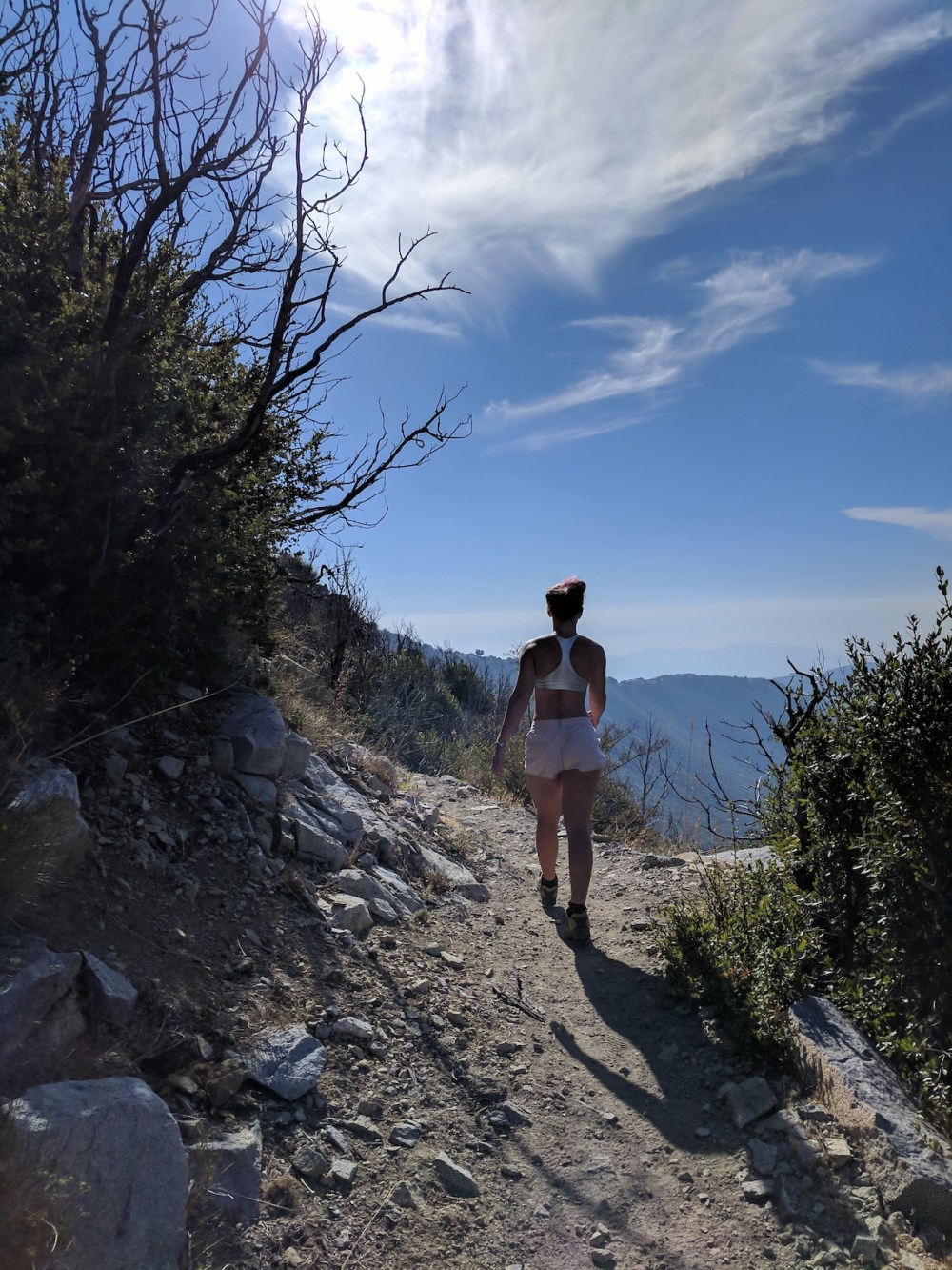
Starting off along the Sam Merrill Upper trail.
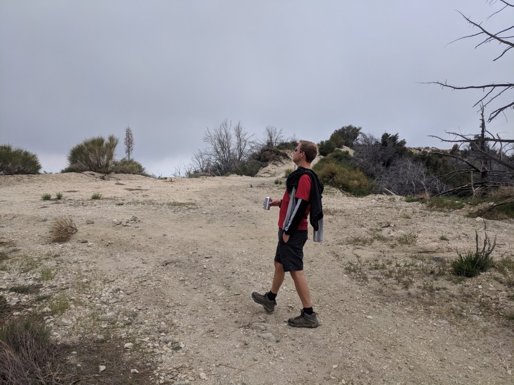
Casually ignoring the Tom Sloan trail.
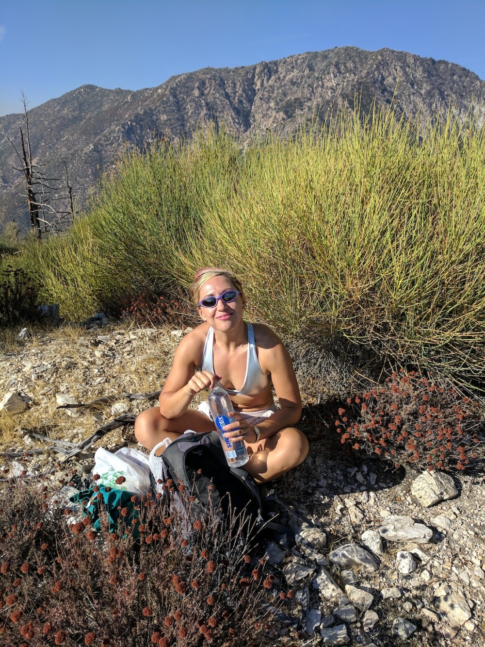
A nice picnic at a spot I can’t now pinpoint, somewhere along Mount Lowe Road.
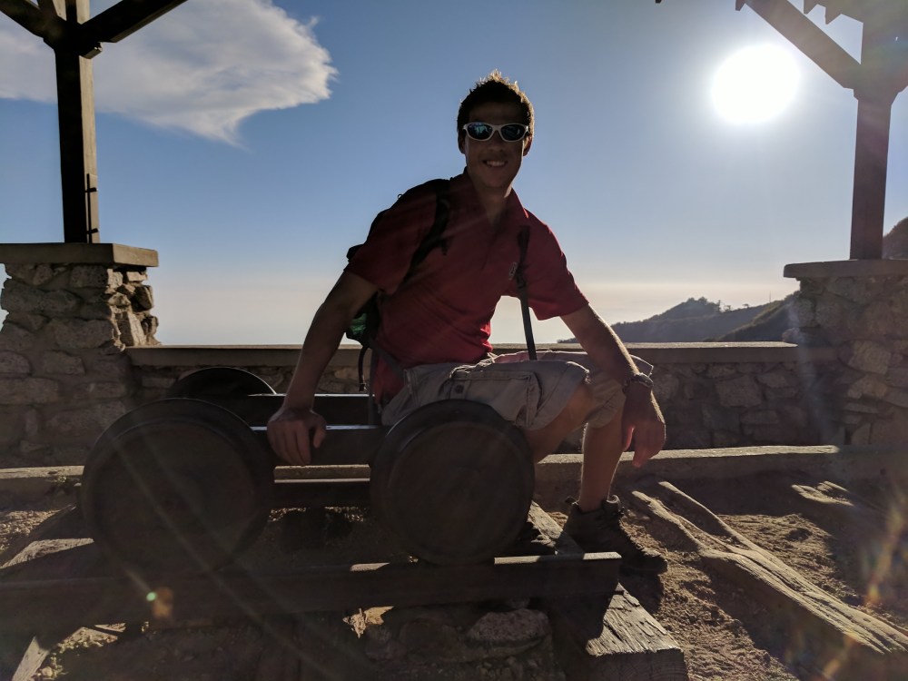
Clambering all over history at Inspiration Point.
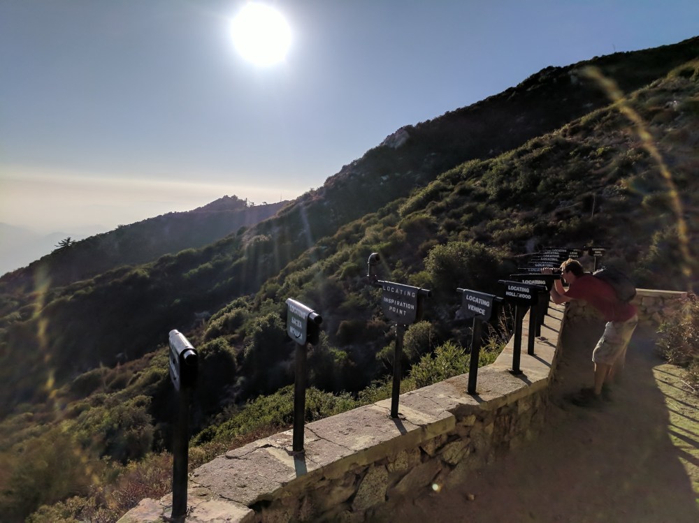
Having fun pretending to look at stuff through metal tubes.
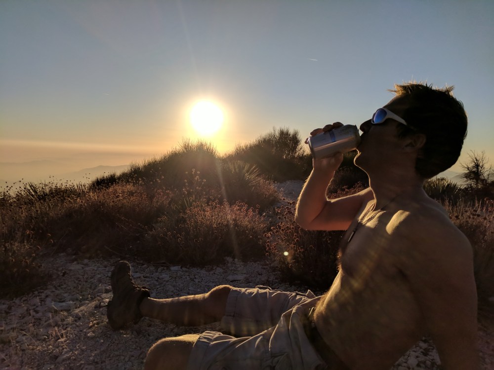
Mildly erotic Coors.
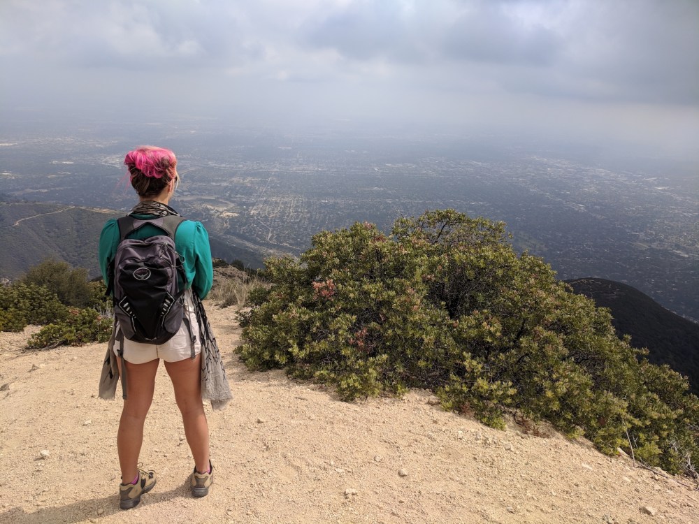
The view down over Altadena from the end of Muir Peak Road.
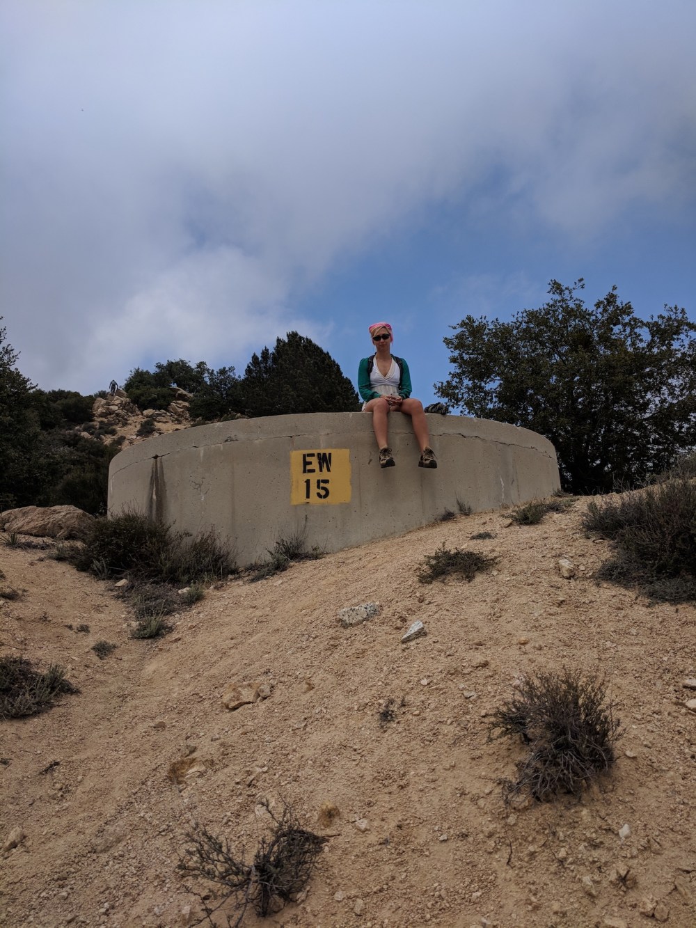
The water tank / seat at the end of Muir Peak Road.
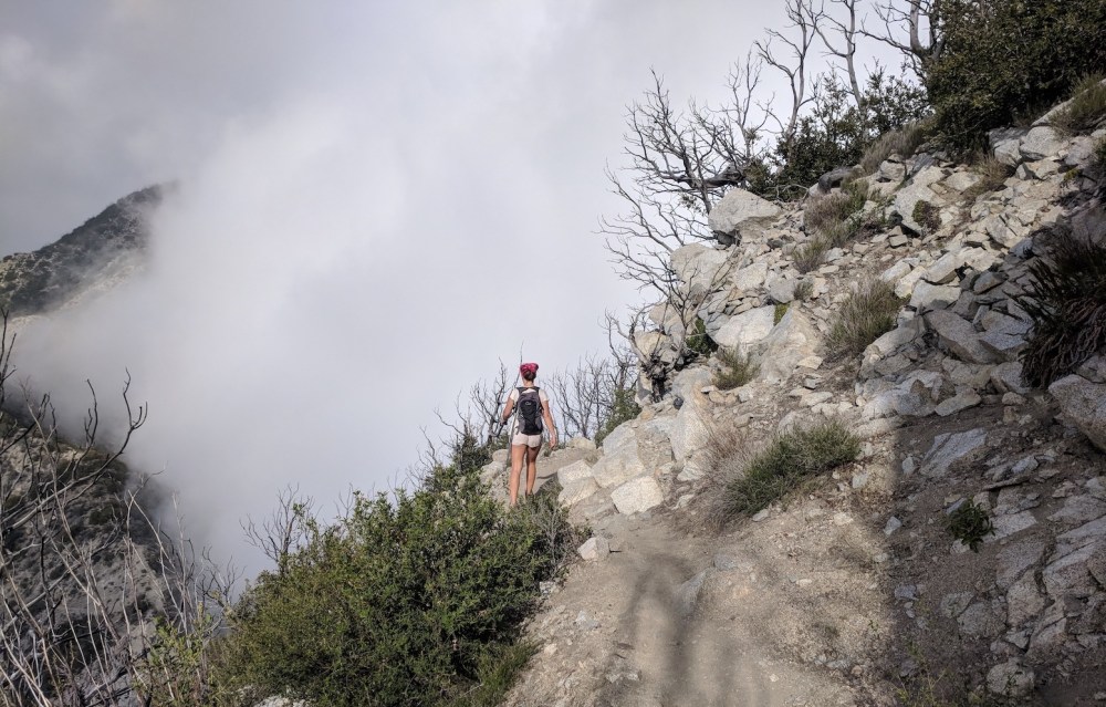
Cloud-dodging on the Mount Lowe east trail.
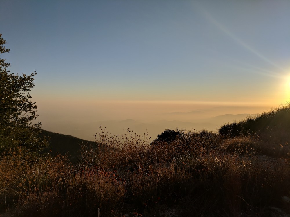
And a gorgeous hazy sunset making LA look not like a city at all.

2 thoughts on “Variations on Inspiration Point”