Distance: 8.5 miles (13. 7 km)
Time: 4ish hours
Elevation gain: 2,945 feet (898 metres)
Difficulty: terrain-wise, easy-moderate; navigation-wise, easy-moderate; fitness-wise, moderate
Drive: 20 minutes (13 miles) from old town Pasadena, west on the 210 to Honolulu Ave and then up Tujunga Canyon Blvd and onto Haines Canyon Avenue. There’s parking near the top of the street, just before it ends at Haines Debris Basin.
Trails of the Angeles hike no. 14 (for a there-and-back route without the fire road descent)
Modern Hiker’s description is here
We did this route up to Lukens 18 months before the Stone Canyon version, and now we’ve had the dubious pleasure of the latter, we definitely recommend this one instead, up the southwest shoulder of the mountain instead of the north side, even though it gets pretty hot.
Go through the gate at the end of the road, past a small dam and lake, and continue along the fire road for 1.3 miles (2.1 km). Then at a T junction the fire road heads right (south) and the trail you want branches off left (north). It passes a water tank and narrows from a track to a path, heading up the east bank of the canyon with some tree cover. At just under 2 miles (3.2 km), you get to the junction with Sister Elsie trail; keep left here (the other way zigzags its way back up to the fire road, and is part of the route home). The path is less well maintained along the canyon bottom (Modern Hiker said it was overgrown and full of ticks, but it was fine for us — certainly compared to Stone Canyon it was a dream). After another 0.5 mile (0.8 km), you turn right and zigzag up a steep side canyon through oak woodland. Another 0.5 mile and the path cuts sharp left up to a saddle, with views north up the Big Tujunga gorge. After 0.25 mile you join up with Stone Canyon trail, at just under 3 miles (4.8 km) total, and then there are a few hairpins to the higher saddle just beneath the peak before you join the fire road to the top.
You can return the same way, or otherwise head down the fire road south instead of back to the Stone Canyon trail. If you do that, after 1.7 (2.7 km) miles you can take the shortcut path you ignored before, marked by a rock, which zigzags down through trees for just under a mile, past an abandoned VW Beetle, before rejoining the route you came up on for the last 2 miles.
We did this one in the days before this blog, so took hardly any photos and no remotely useful navigation-related photos, but here are a few shots of some nice scenic bits.

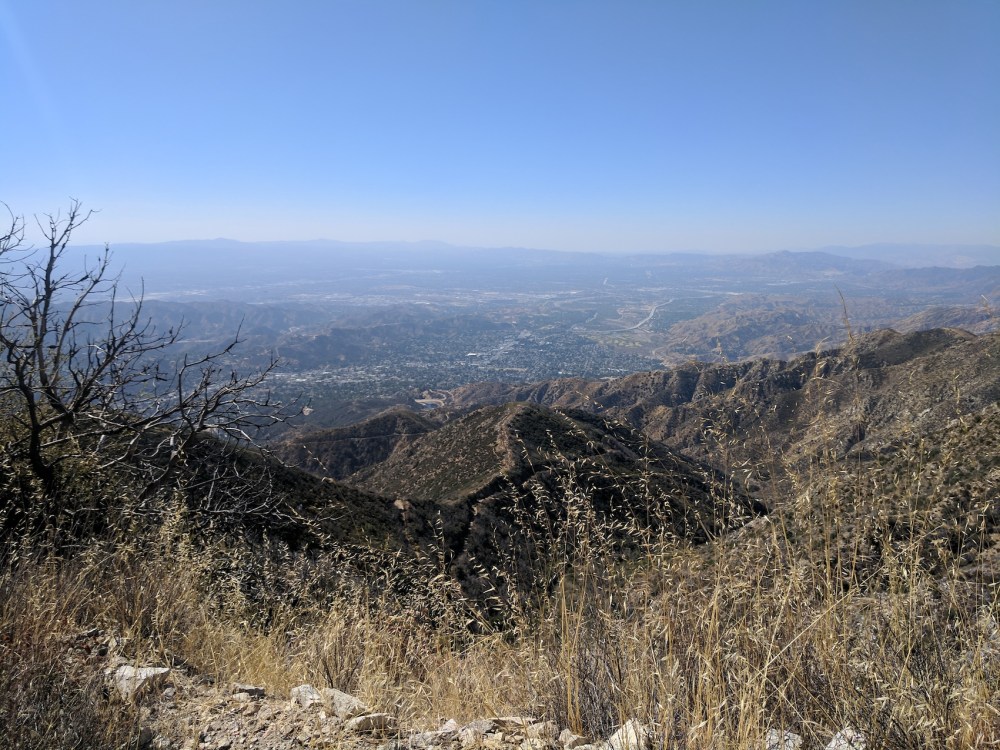
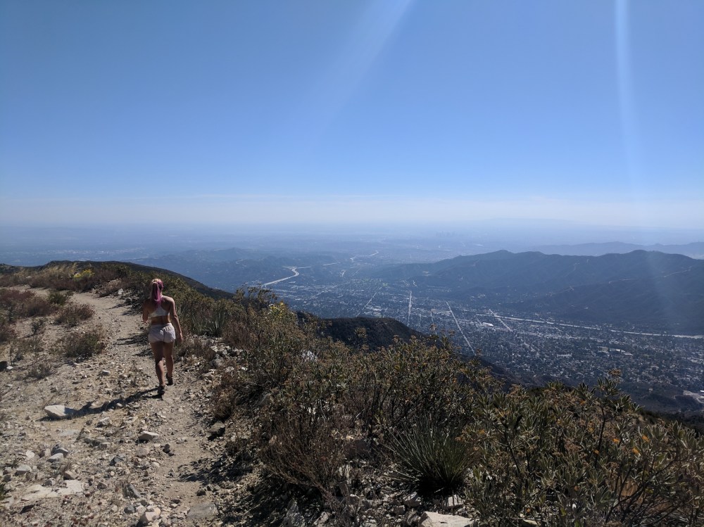
Enjoying the Valley views halfway up.
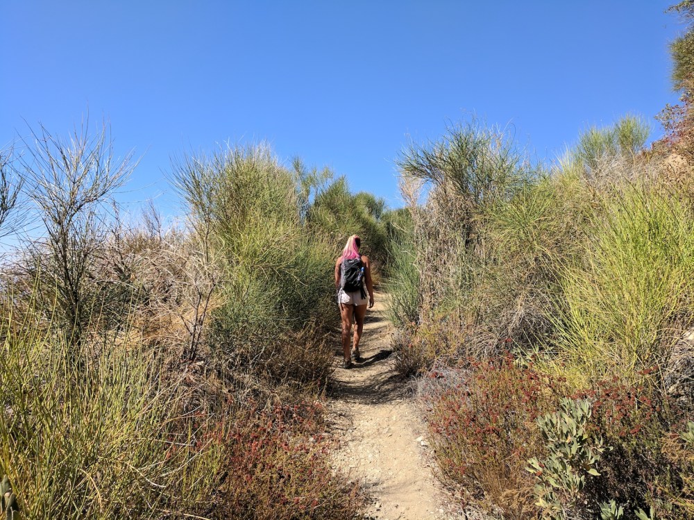
One of the easiest bits of the ascent.

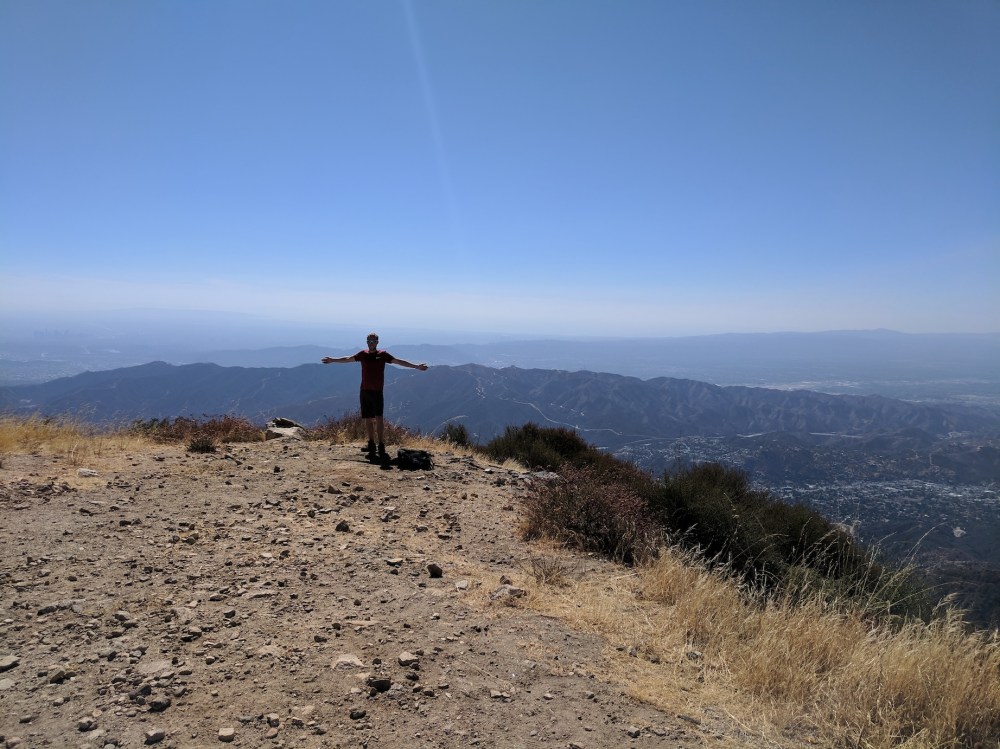
Summit success: looking northwest and southwest.
From our picnic spot, looking west up the 210.
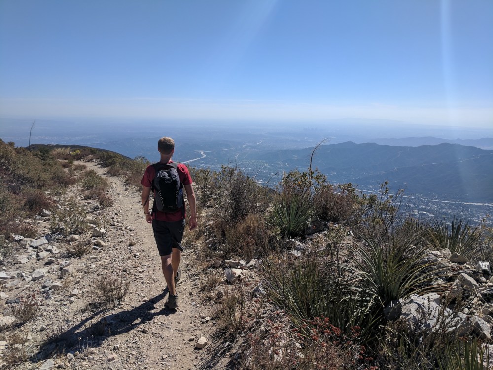
Enjoying the easy stroll and the widening views from the fire road down.


And the obligatory Beetle poses.

One thought on “Mount Lukens via Haines Canyon”