Distance: 13.7 miles (22 km)
Time: 5h30 including 20 mins lunch (but AllTrails said 7h30!) [and see the 2024 update for more generous timings: 6h30 incl 40 mins lunch]
Elevation gain: 3404 feet (1042 m)
Difficulty: navigation-wise, easy; fitness-wise, moderate; terrain-wise, easy
Rattlers spotted: 0
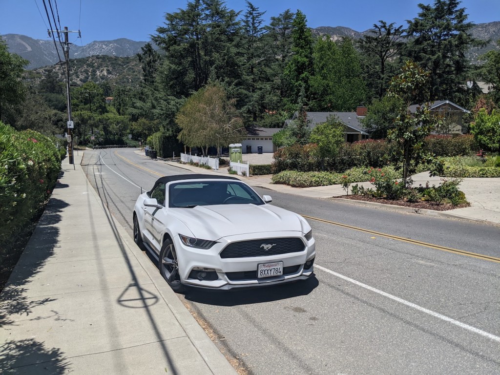
Drive: Under 15 minutes from central Glendale or Pasadena, between La Crescenta and La Cañada. Park on the south side of Jessen Drive, just outside the school, between Solliden Lane and Palm Drive.
Nobody Hikes in LA has a short account including alternative parking on La Sierra Drive, and a way to make it circular by descending via the Mt Lukens Truck Trail and then finishing up with 1.5 miles of street walking.
This was the last hike of my April to June 2022 LA stay. So I meant to take the choice seriously (in the sense of giving it any actual thought before the day itself). But Saturday was busy (Getty, Korea town for boba and barbecue, bowling, drinking, not much sleeping) and Sunday morning was a little hazy, so all I did was flick quickly through my blog archive, conclude that most of the most appealing ones were too far away to make sense (today I wanted more walking and less driving time), and then take the recommendation of my Saturday companion: Earl Canyon.
I’d done a little of it 10 days before, on a Thursday morning before heading to Pasadena to deal with an ongoing MacBook repair saga, limiting myself strictly to 30 minutes out, 10 minutes for breakfast, and 20 minutes back down. That had whetted my appetite, with almost immediately excellent views despite the morning’s striking smog.
I’d found a very nice lookout spot for my picnic, too.
Turning round at the half-hour mark that morning was hard! So it was lovely to have a better run at it this Sunday. That said, I didn’t crank myself into gear until 1 pm, and didn’t set off from the car until 1:30, so I wasn’t at all sure whether I would make it all the way to the top of Lukens. As ever, though, not getting to the top of mountains is hard, and I failed!
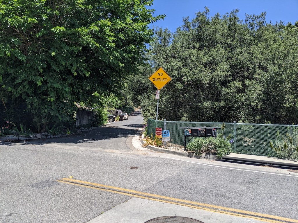
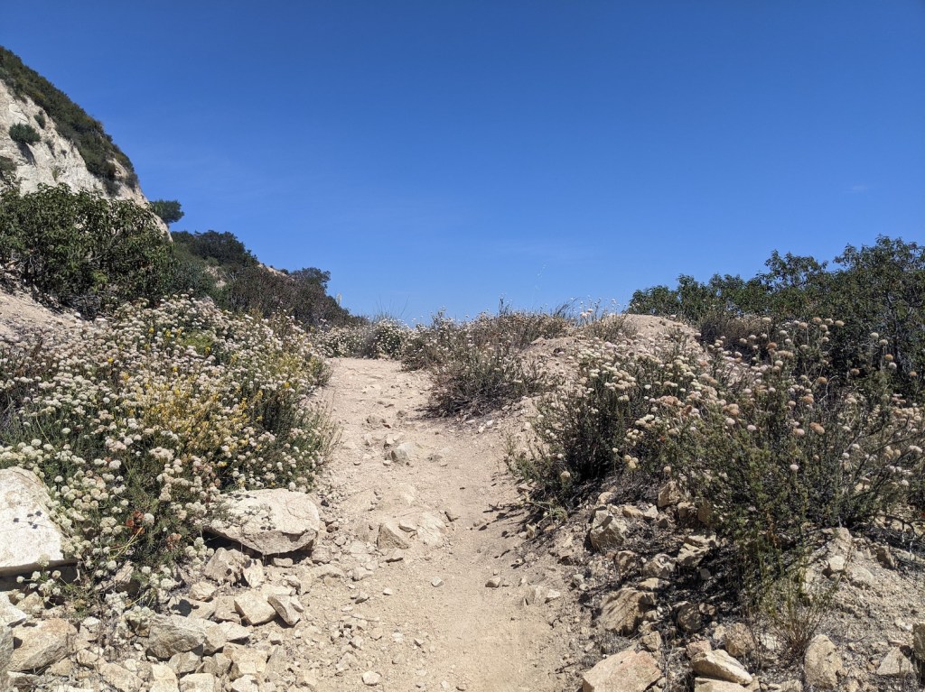
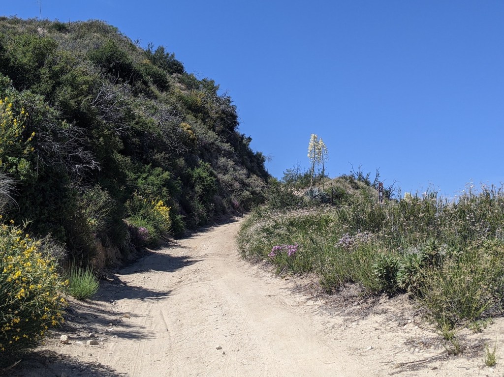
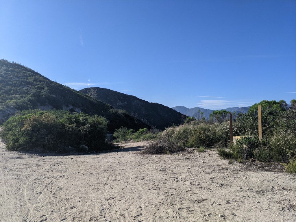
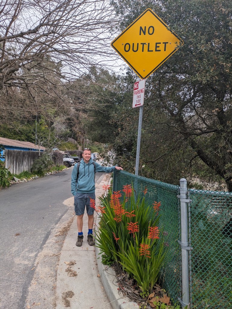
The trail starts as a tarmacked drive at a No Outlet sign on the north side of Jessen Drive just opposite the school.
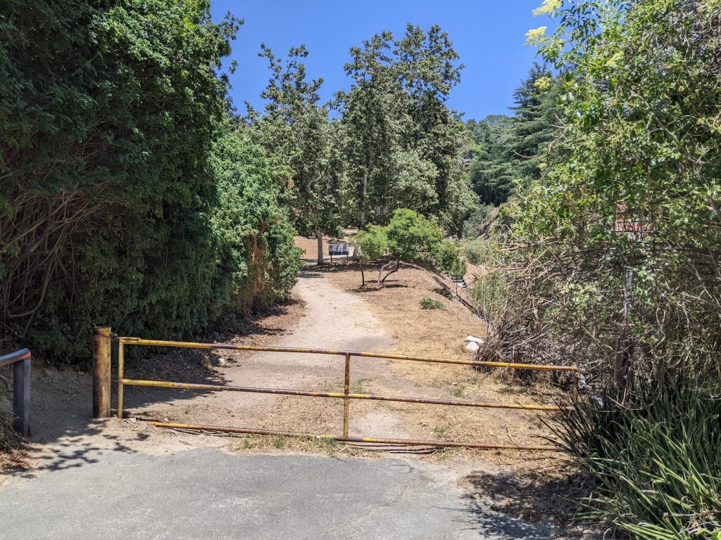
You pass a few houses before reaching a yellow gate.
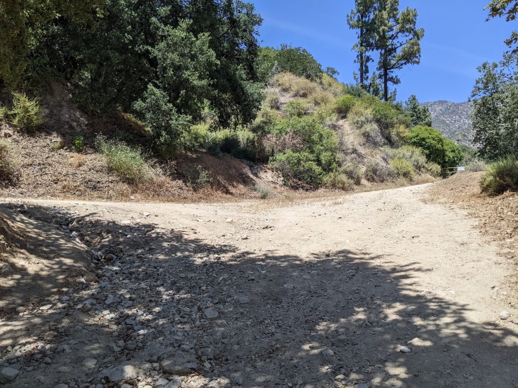
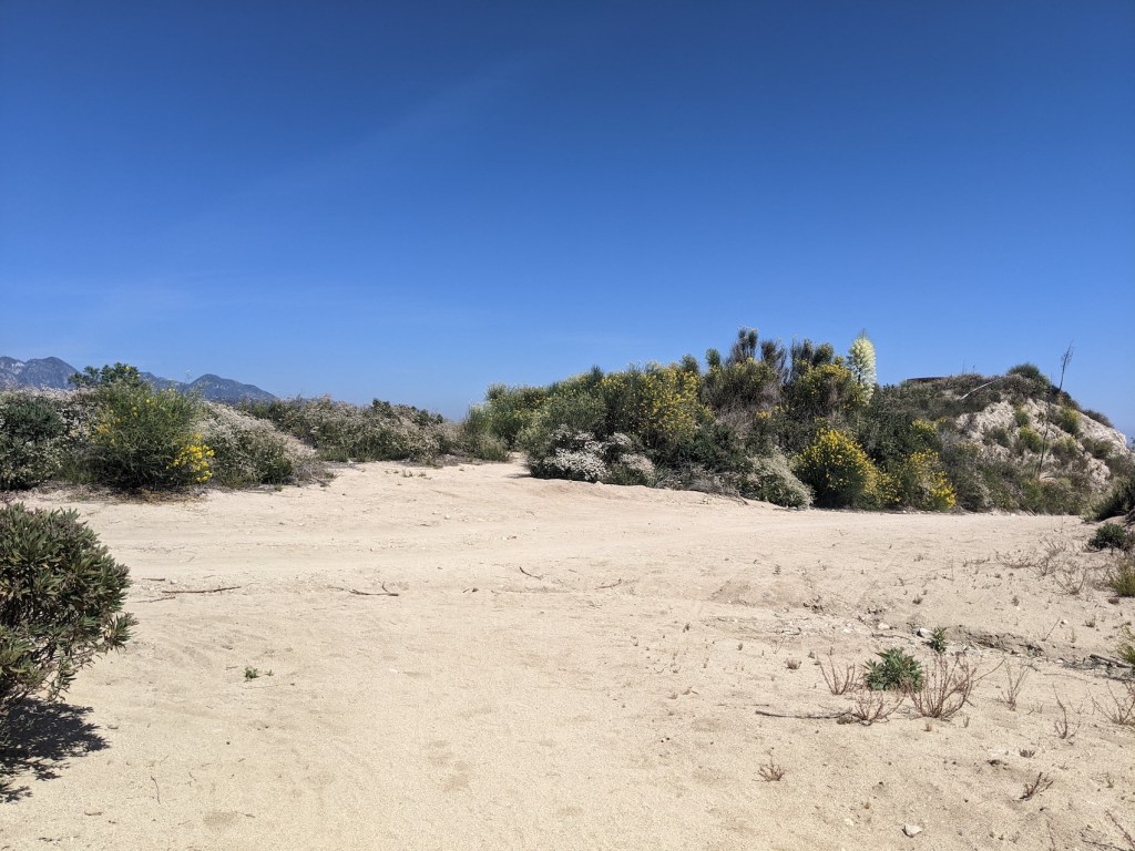
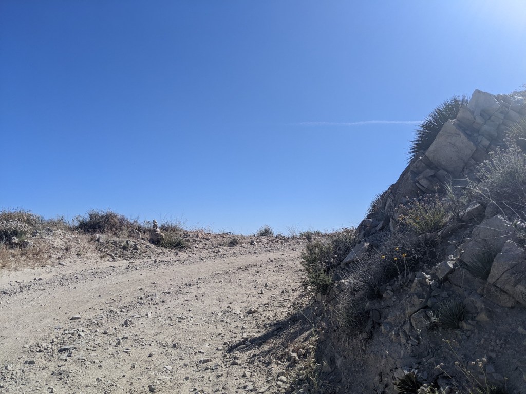
Now on a dirt track, head through the trees before kinking hard to the left.
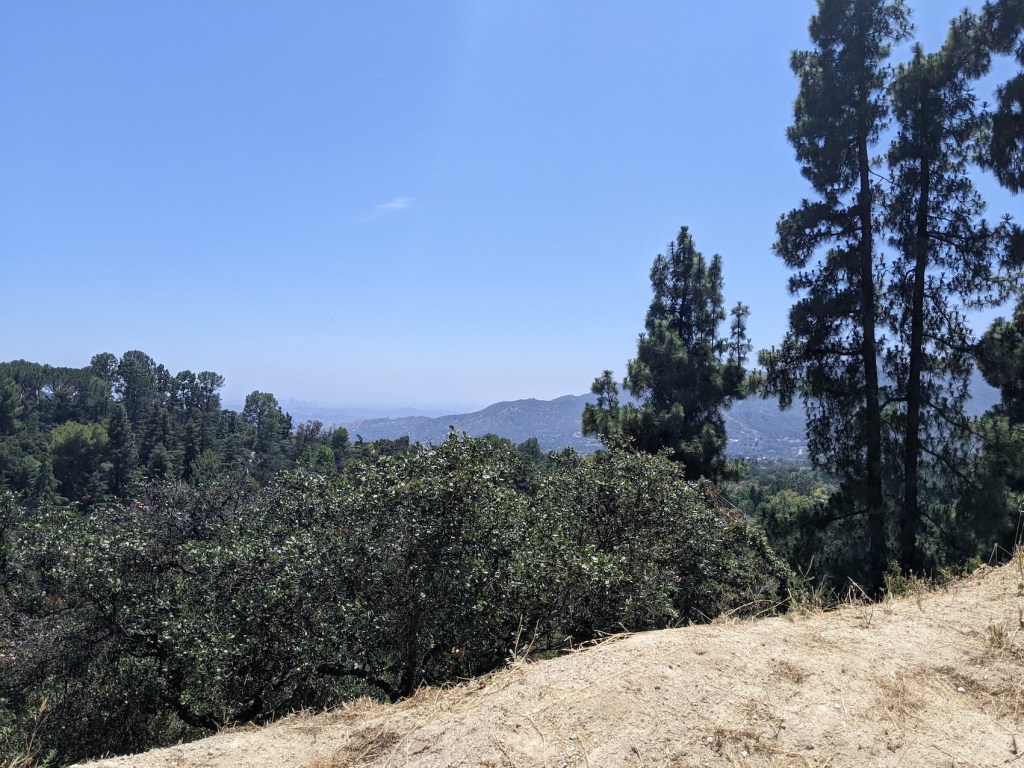
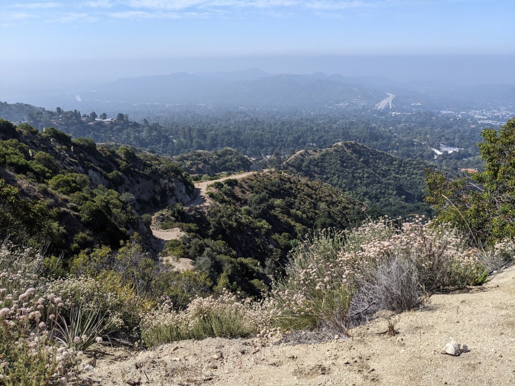
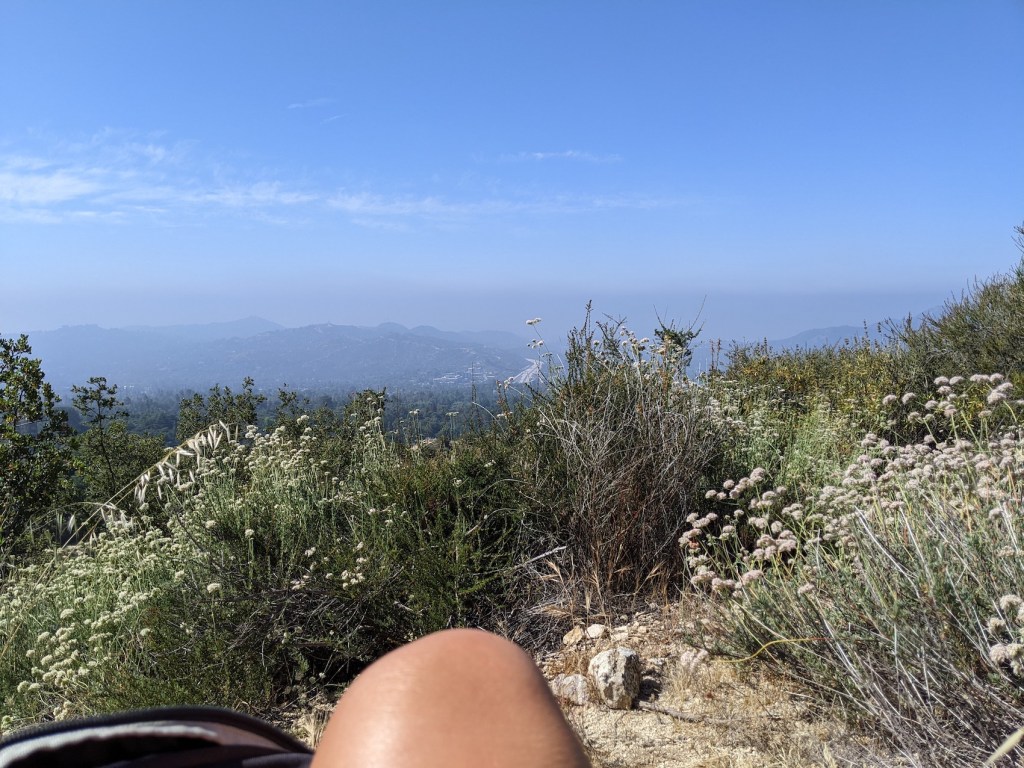
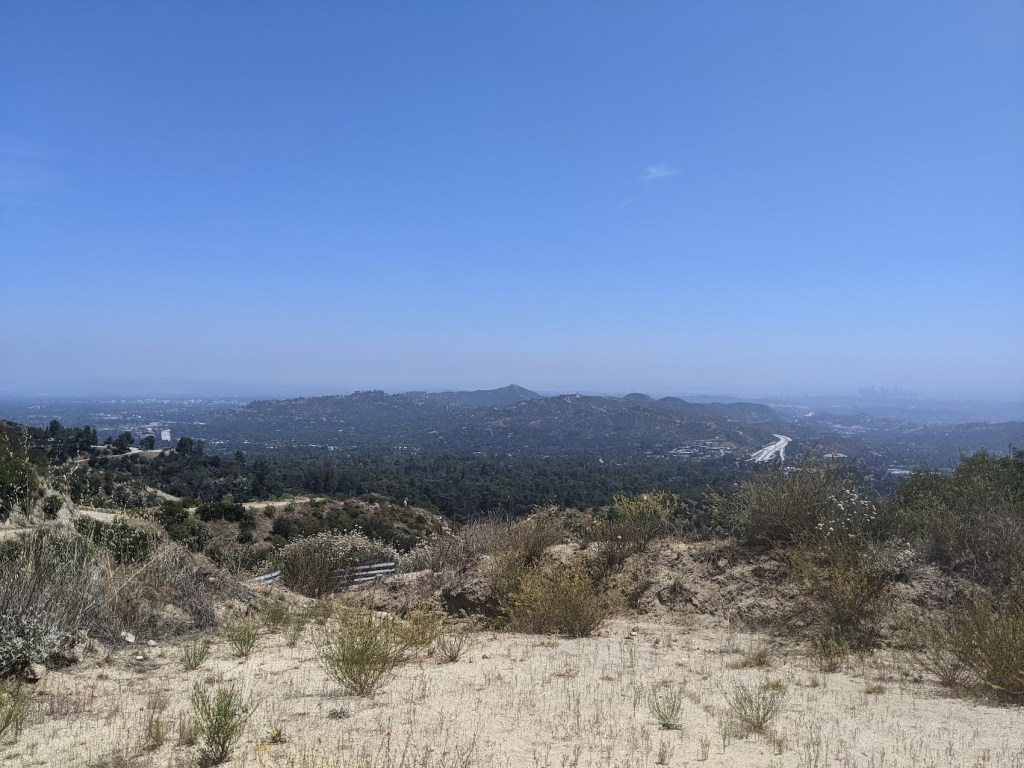
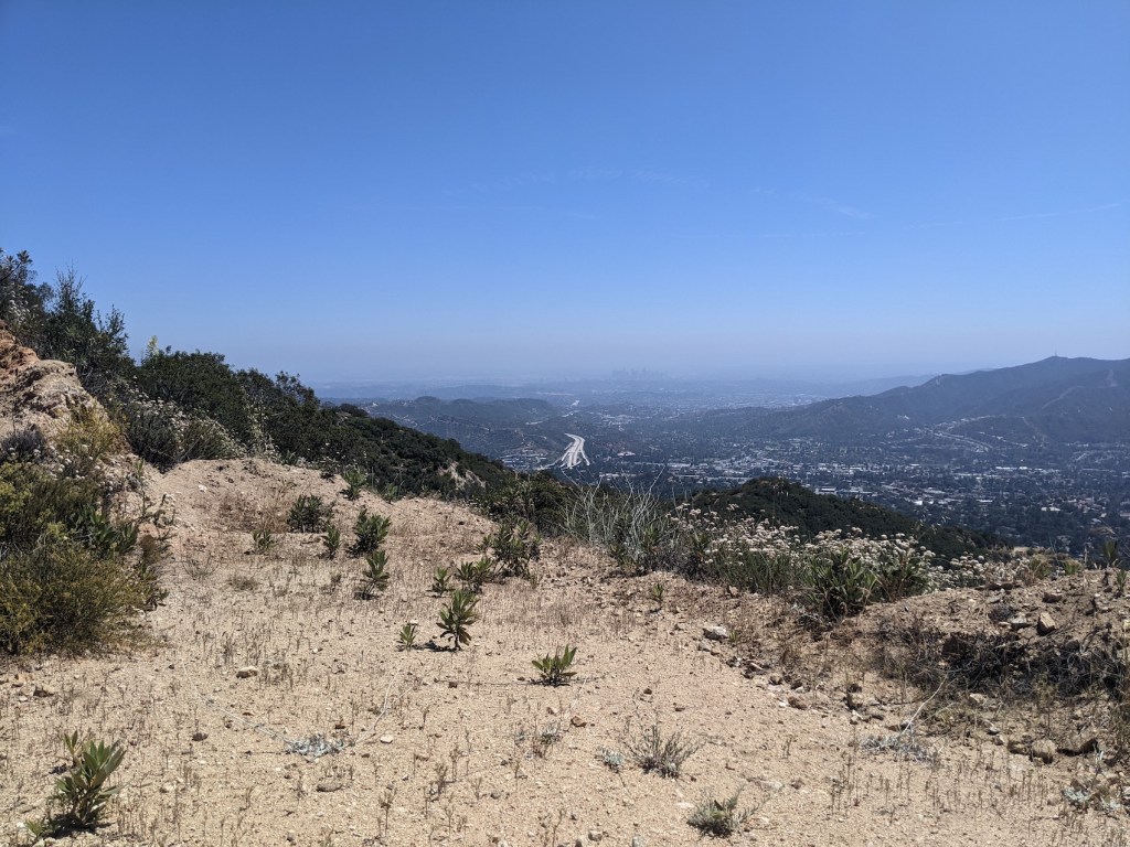
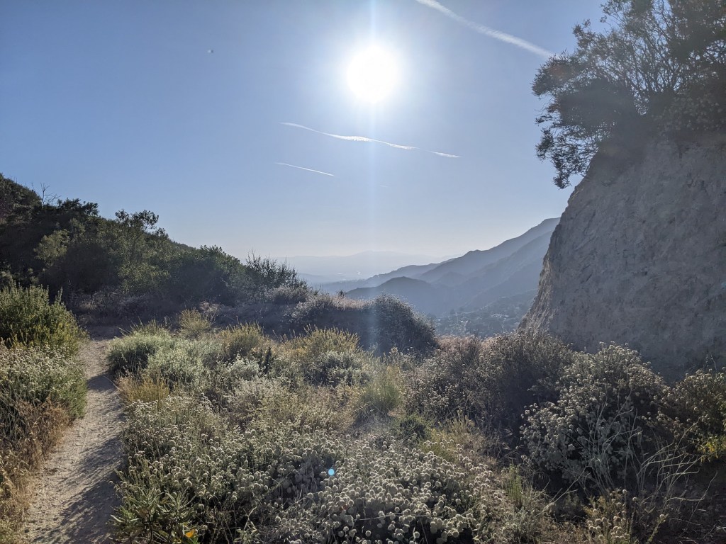
DTLA emerges almost immediately and remains a near-constant companion throughout, framed in a thousand captivating ways by the many changing layers of midground city and hills and foreground foliage. Early afternoon on a warm day, the combination of the non-negligible south-facing incline and rather more G&Ts than hours’ sleep last night made me wish I’d packed more water, but there’s something about hot sun and a steady climb that makes it hard not to let the mind and body quieten into just doing this, here, now.
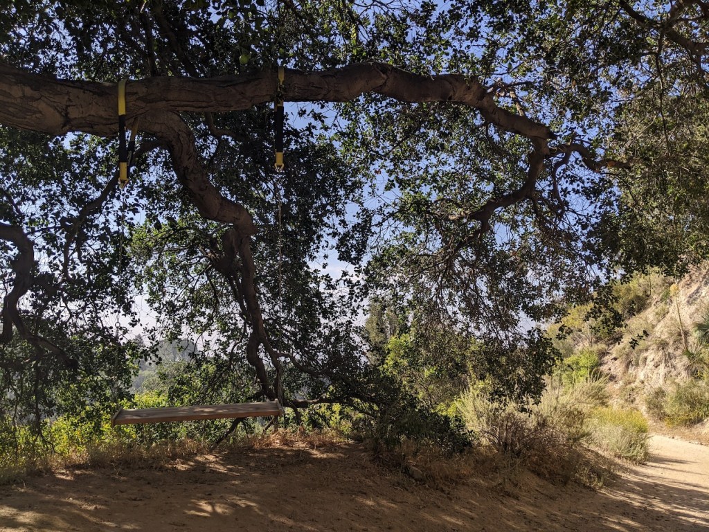
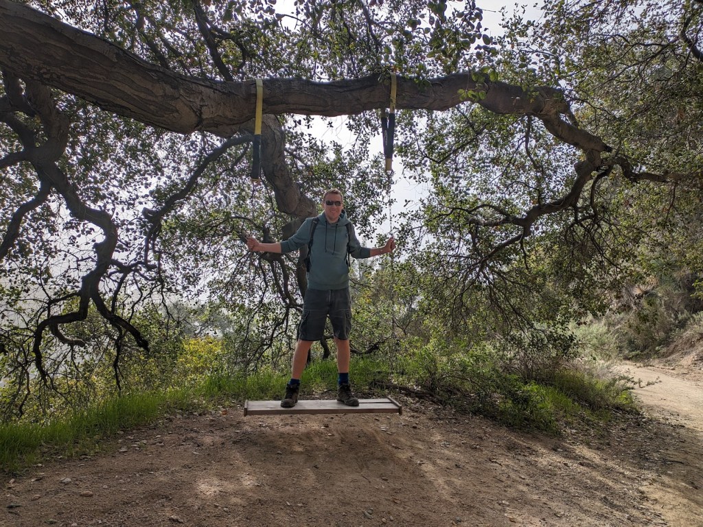
After 15 minutes you reach the worst-designed swing I think I’ve ever swung on. Many points for effort, minimal points for execution. Though a friend did once tell me how rubbish my swinging technique is, so maybe it’s just me.
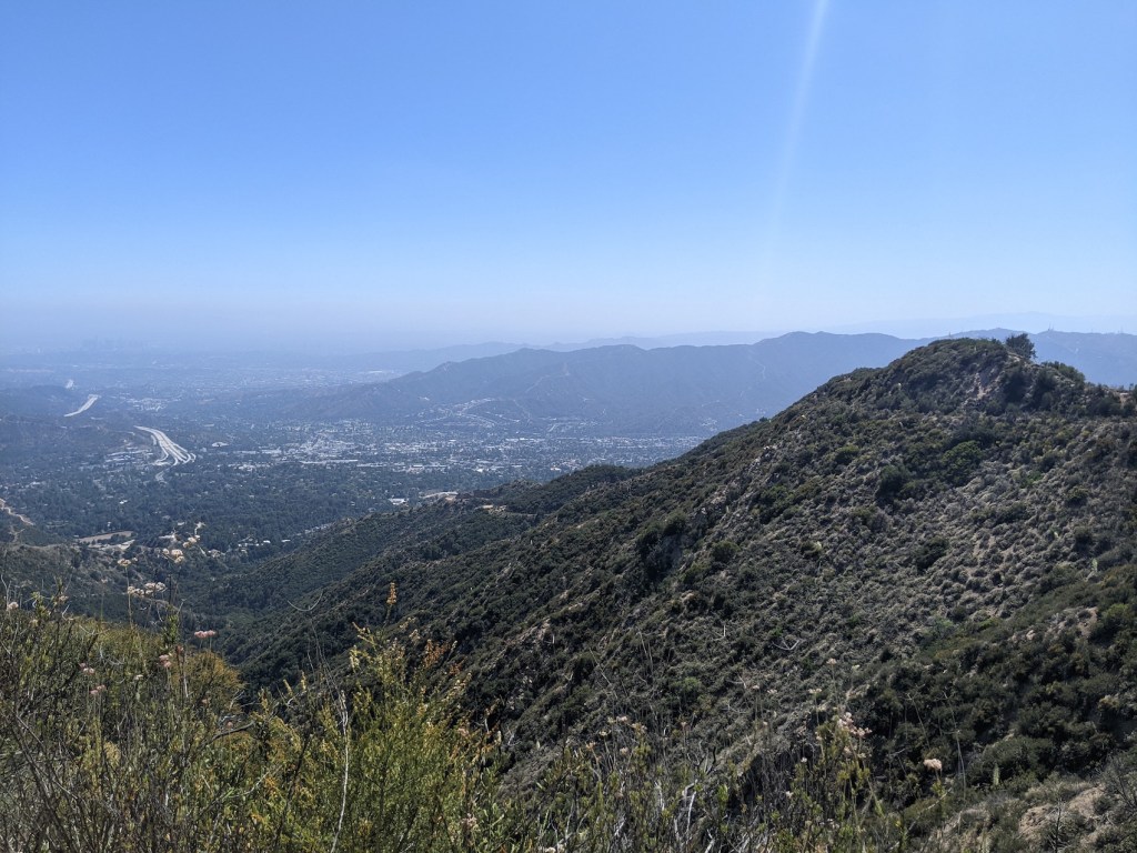
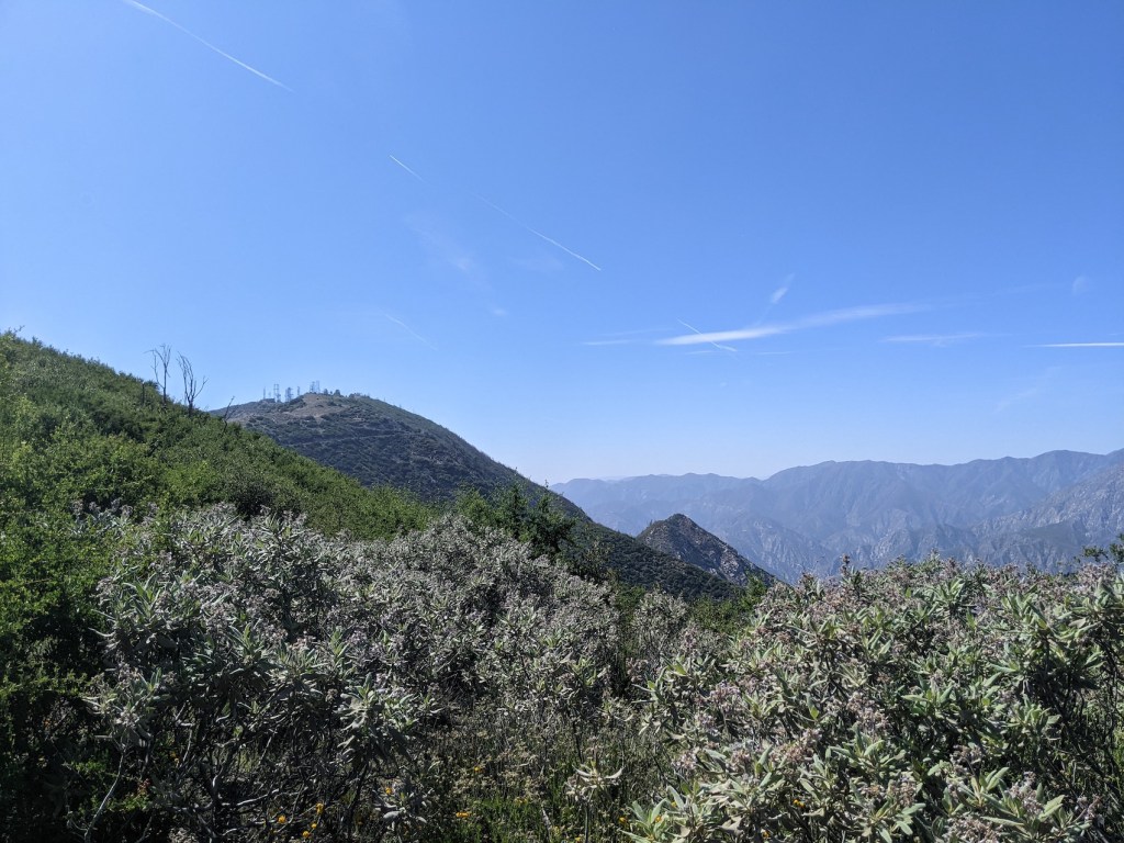
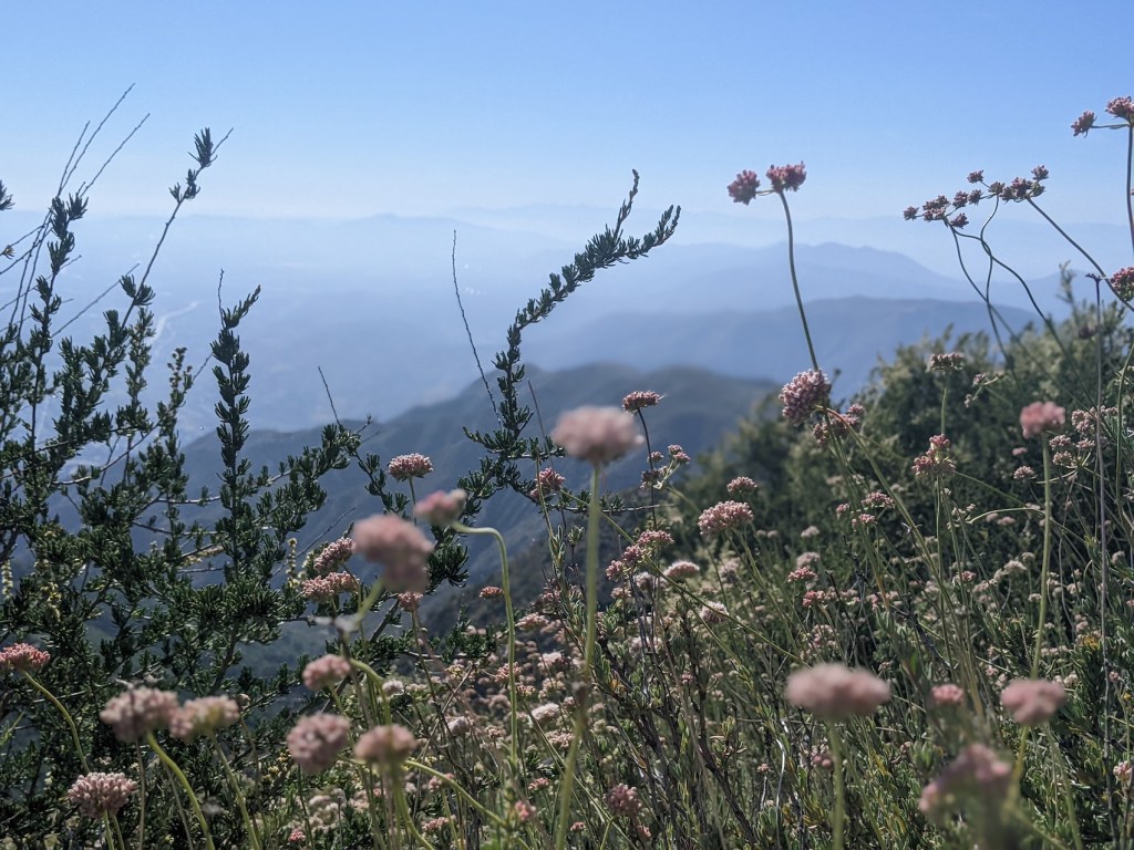
After around 20-30 minutes you get great southerly views of the 2 (the freeway part of it) snaking whitely past the Rafael Hills, as well as of the 210 skirting the Verdugos to the west. Much less of a dirty smog layer cloaking it all than first time!
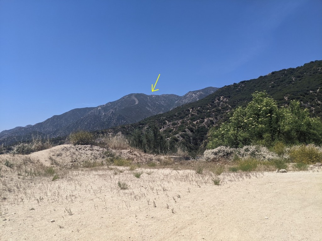
At 30 minutes you get the first good look at Lukens and its radio masts.
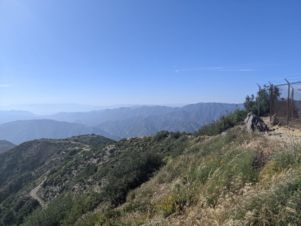
And after another 10 minutes the views into the bowl between here and Brown Mountain to the east start to open up.
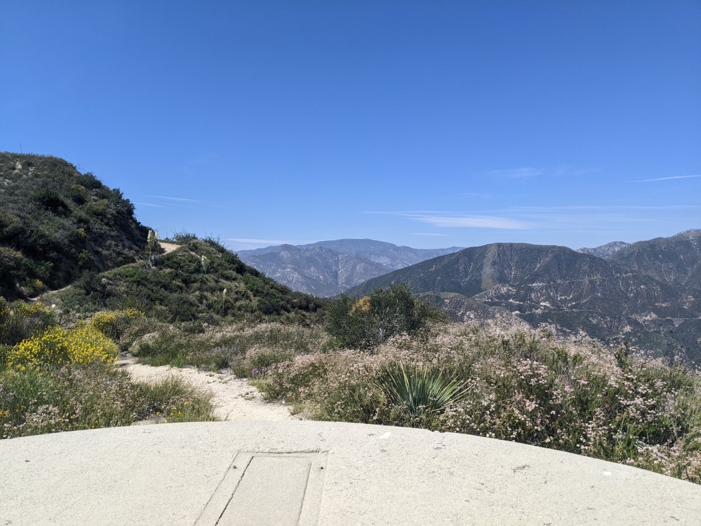
At 50 minutes you reach a saddle with east/west views.
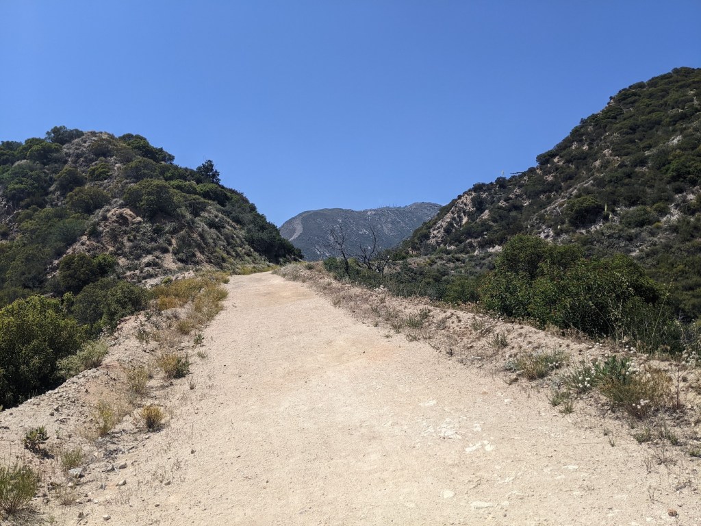
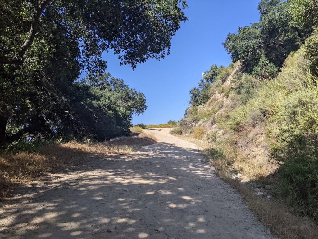
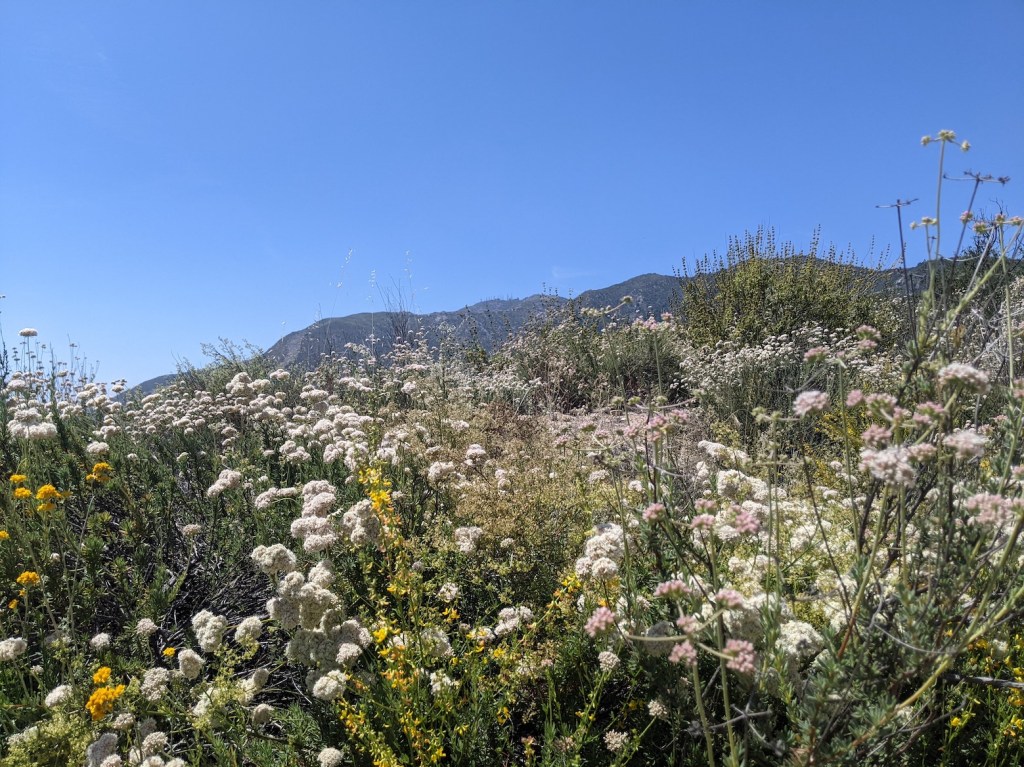
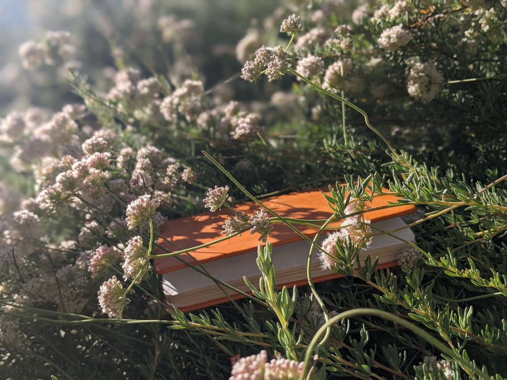
Here the “motorway” gives way to a trail, climbing at the same kind of gradient through late-spring flowers.
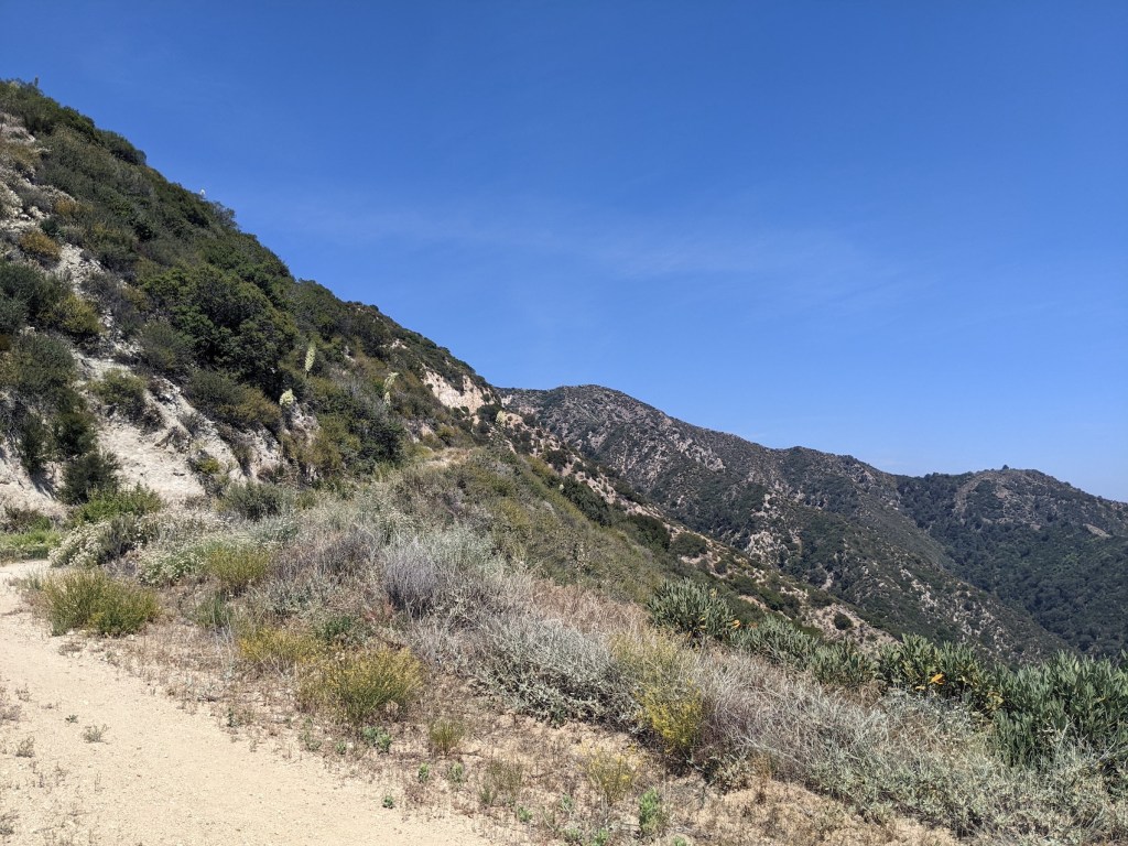
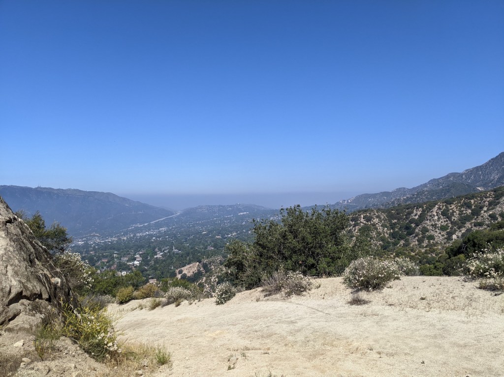
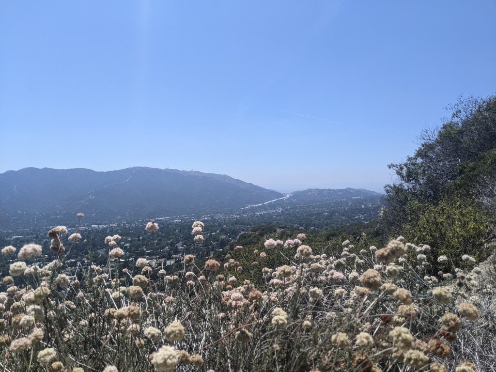
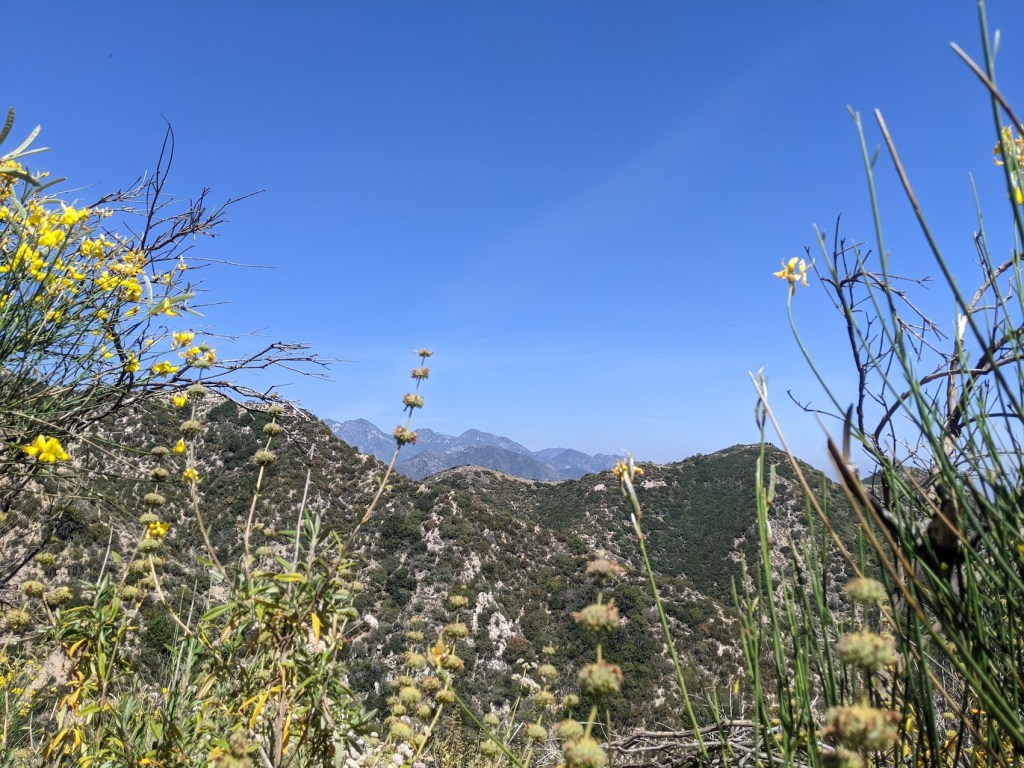
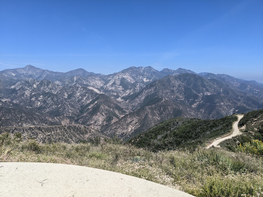
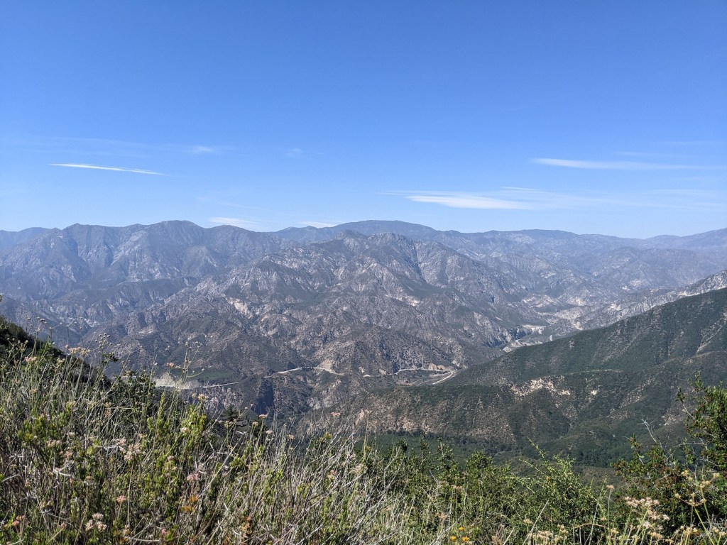
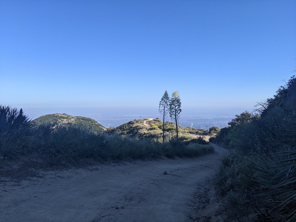
85 minutes or so from the start, you get your first good look right over to Josephine, Strawberry, Lawlor, and Wilson, and the city feels a lot more distant.
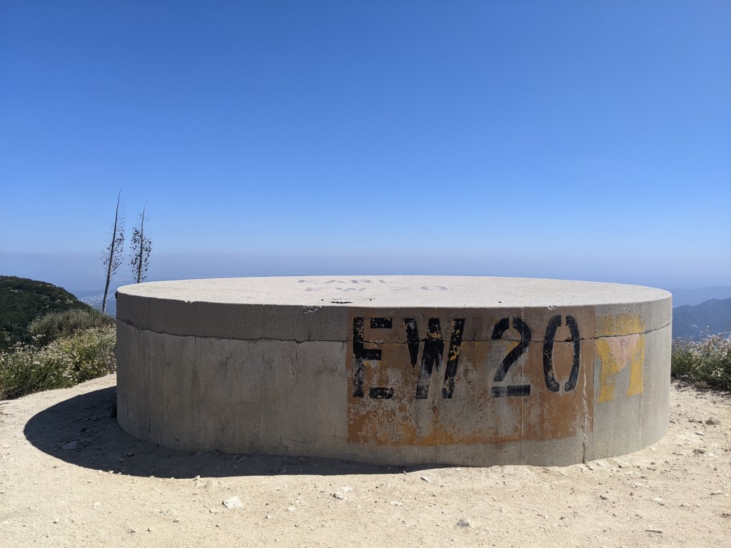
Another 5 minutes and you come out at a junction with the Mount Lukens Truck Trail.
Go straight on here to a handy water tank that makes for a nice liquid break with 360 views from your circular perch.
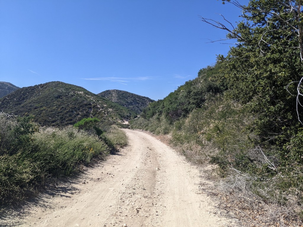
Retracing your steps to the track, the second half of the ascent begins, back to fire road style. The road has a much gentler gradient now, and overall is oriented much more towards the north.
After 10 minutes there’s an uncharacteristic bit of tree shade.

Then the track starts wending its way to the north and south of the highest lumps of the ridge.
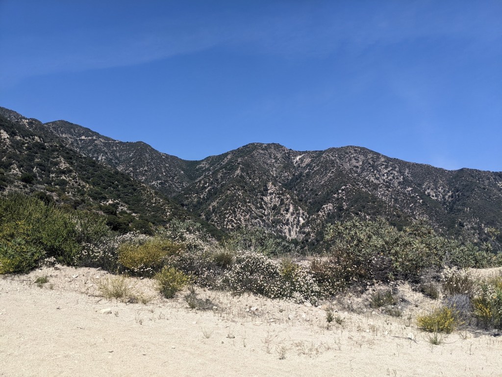
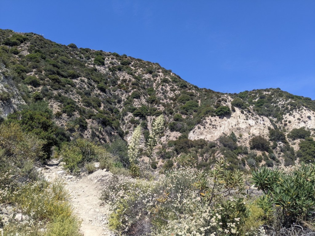
Around 25 minutes from the water tank, the stark brow of Mendenhall Ridge dominates the northern skyline.
Another 15 minutes, and 2h20 from the car (just before 4 pm for me), I had my first “oh, nearly there!” moment.
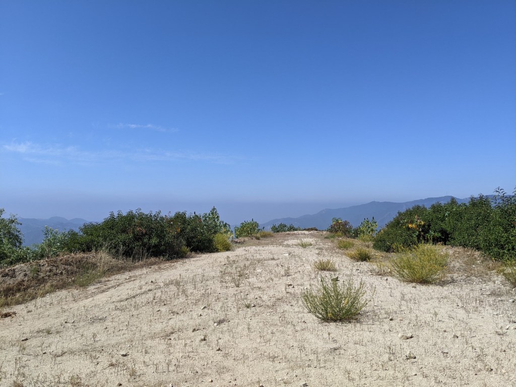
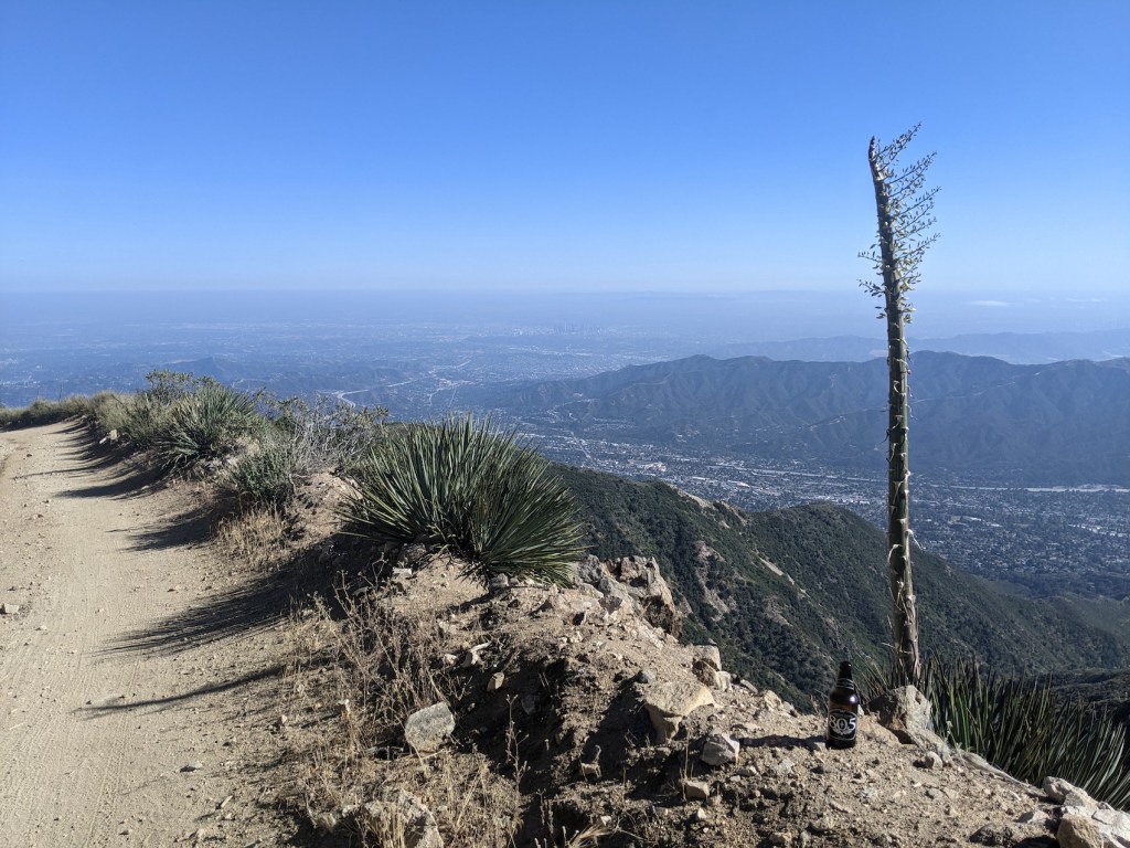
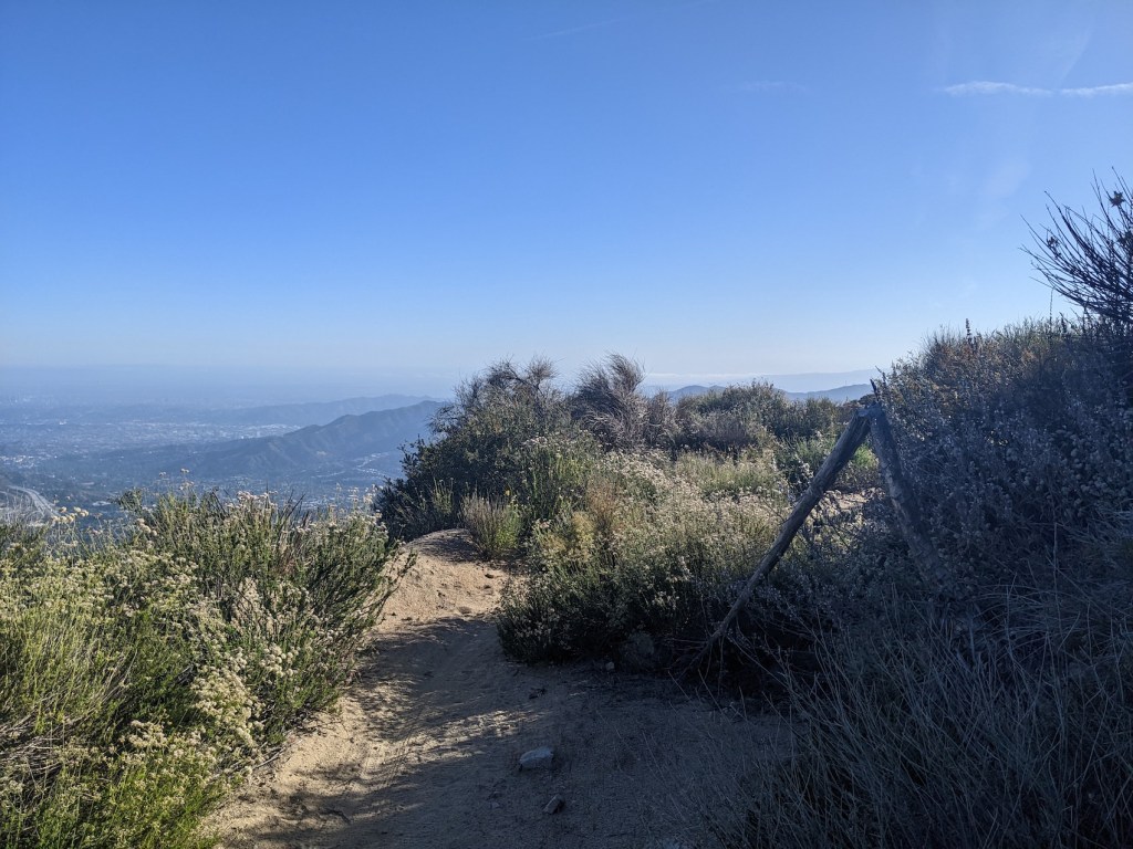
Another half hour brought me to the eastern edge of the communication towers.
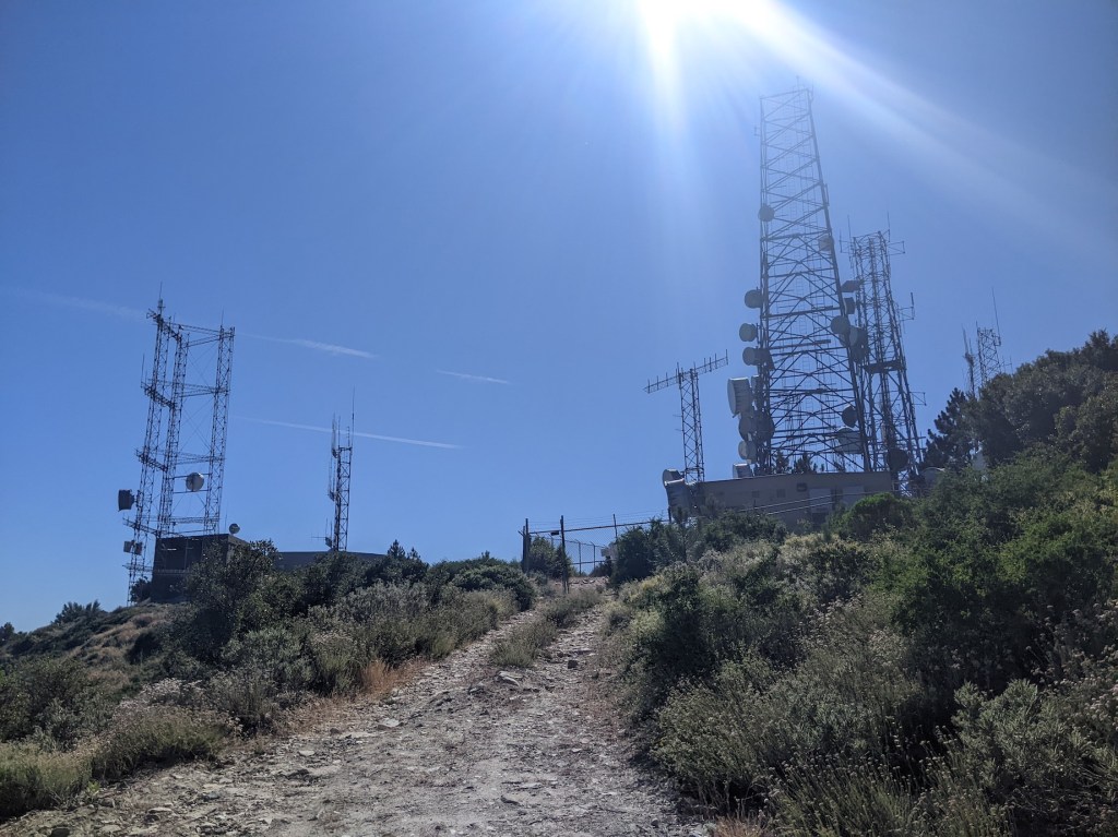
You can take the track off to the left and skirt round the left of the first fence if you want the first knob, but I recommend continuing along to the right and making for the westerly one, since it has more options to escape from the A/C hum, and full westerly views to complement the other three compass points you’ve been enjoying.
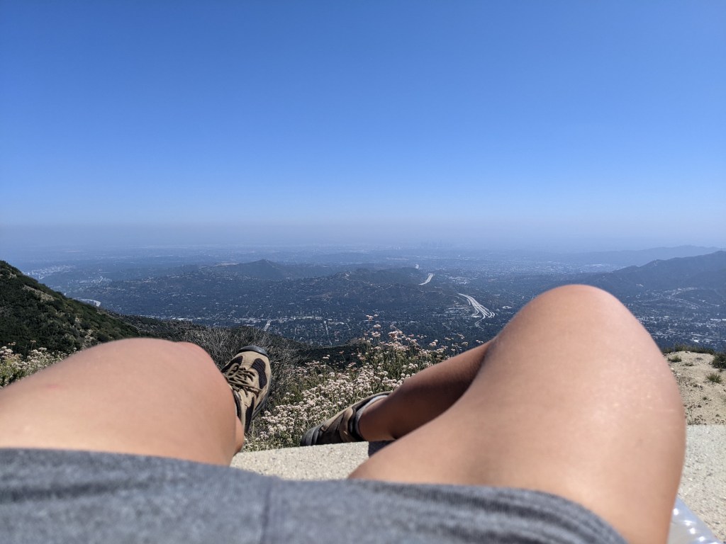
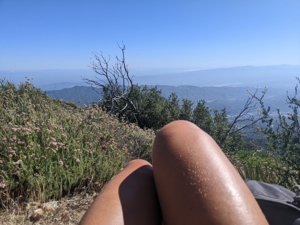
I dropped down a tiny bit from the top for my late lunch, 3 hours from the start, and loved the combination of downtown and Valley views with my bagel.
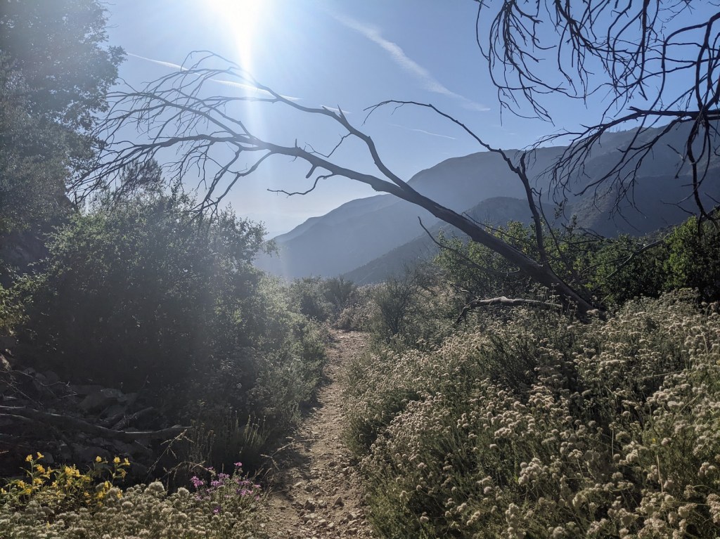
Then as I left I also enjoyed glancing down at the route up the north side of Lukens, which sticks in the memory as probably the nastiest hike I’ve ever had the displeasure of doing here.
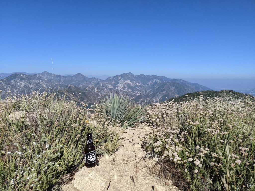
The way down was just over 2 hours of delightful ambling, initially with an 805 in hand, later with other non-alcoholic refreshments.
Halfway down, the trail curving off to the north (which I somehow hadn’t registered on the way up) looked enticing for another time.
10 minutes later, in the first patch of deep shade at this time of day, you’re back at the water tower with longer shadows.
And now the lowering sun is in your eyes a lot of the time (which—as long as armed with a good pair of Maui Jims—I love).
I was back at the car just after 7, perfectly timed for a pre-dusk drive home.
This felt a very fitting way to round off the trip, partly because it makes a hattrick for Lukens, the most routes I’ve ever taken up any of the San Gabriels. Compared with Haines and Stone canyons, this one is the longest and hands-down the loveliest.
For the first time, I carried a notebook in my hand most of the time instead of fishing it out only now and then, and that encouraged a different kind of note-taking: little and often and very very scribbly.
I was mostly writing about the personal/relationship things that have been quite dominant on this trip, with the odd bit of course design thrown in. The 5.5 hours were, as is so often magically the case, precisely the right amount of time to process and find calm before my return to England.
Update February 2024
Living in Santa Barbara and underwhelmed by the local hiking, and with James in LA for my 42nd birthday, a proper San Gabriels hike was a weekend priority. The forecast was not great, but we scrolled through the old favourites (nice to feel the blog actually being useful!), and given closures on the Angeles Crest Highway due to recent rainstorms and our need to be back in Glendale by 4 pm, we narrowed it down to this or Jones: both easily accessible from the city.
When we got up early in Goleta and made a picnic and set off down the 101, we hadn’t decided yet. James laughed at me for the transparency of my criteria ((1) length and (2) sunniness) that meant this was probably always going to win. But I was longing for hours and hours in the sunshine walking and talking or being silent with him, and there was enough of a marine layer about that it seemed important to give ourselves a decent chance of getting above it by going for something with more elevation. The further south we got with the clouds still everywhere, the keener I was on this one—especially after checking the altitude difference: 5075 feet (1547 m) for this versus 3375 (1029 m) for Jones.
So I prevailed (it was my birthday after all), and we set off from the trailhead on Jessen Drive at a for-us-impressive 09:50—earlier than we usually managed even when living right there in Pasadena. The total time for us was 6.5 hours, including a 40-minute lunch stop at the top and a Coke stop at the water tank. This means we were late for our 4 pm rendezvous, and significantly slower together than when I did it solo in 2022.
We took an hour to the saddle (versus 50 minutes) and 110 minutes (versus 90) to the water tank, 3h40m (versus 3h) to the top, and then the descent was about the same length (just over 2 hours), even though I described it as “delightful ambling” the first time but here we were definitely hurrying ourselves up by the last hour or so. I guess this says something either about what difference 6 weeks of LA hiking had made to my fitness 2 years ago or about the difference between hiking alone versus in company—that slow section up to the water tank was where we were having particularly interesting “if we were going to start a business together, what would it be?” chat. (One idea involved curated conversational hikes, the other helping newcomers find their dream LA apartment rental!)
Anyway, it was a great victory for exhilarating winter sunshine-finding. Here are some snaps.
Still firmly inside the marine layer at the start.
Being more inventive than me with the still-disappointing swing.
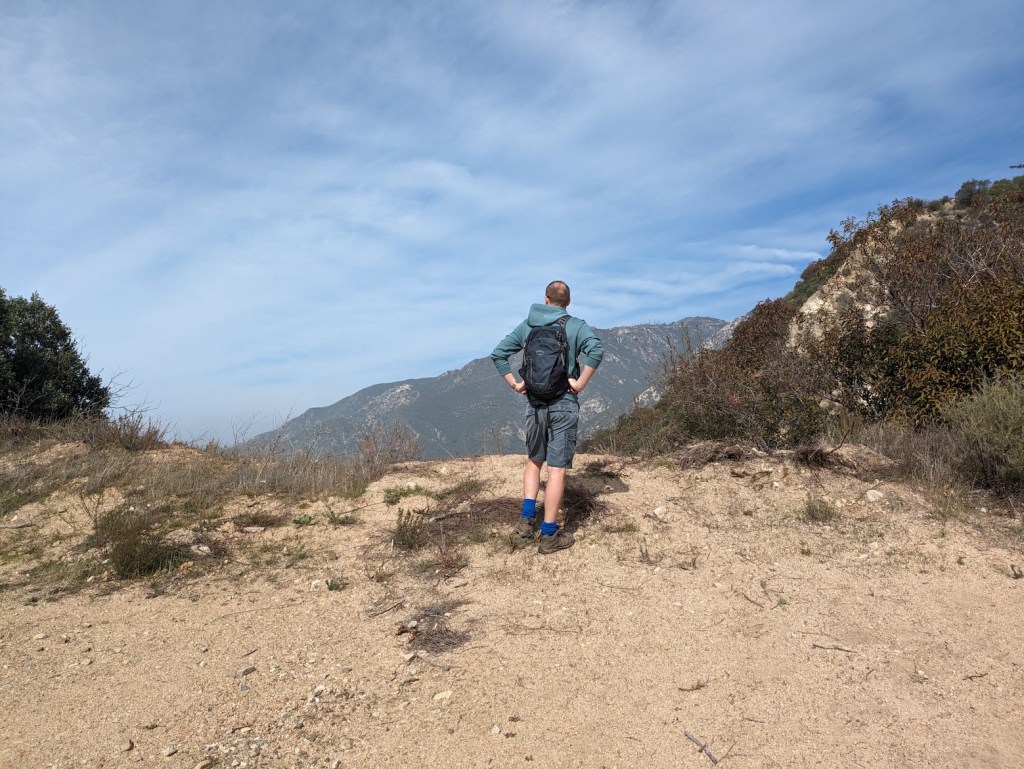
Contemplating the way ahead.
Getting close enough to the top of the cloud layer to need to strip off.
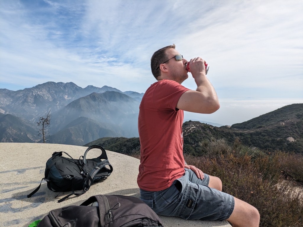
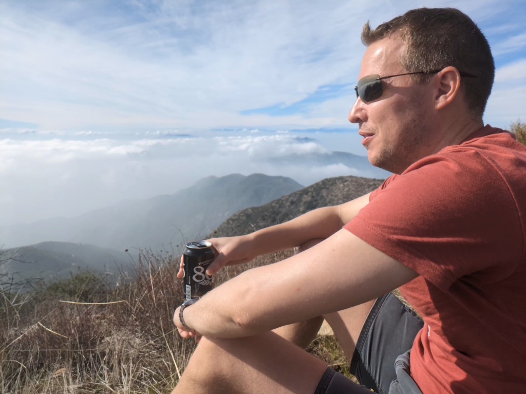
The James-swigging-from-a-can shots never get old.
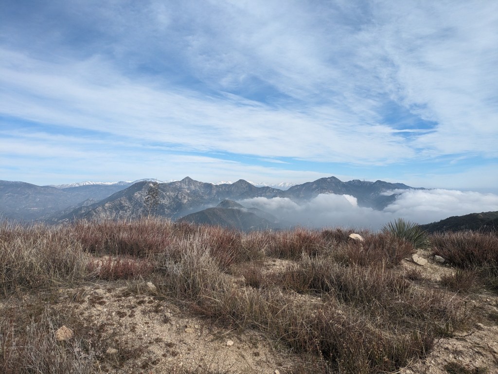
Sandwiched between cloud layers.
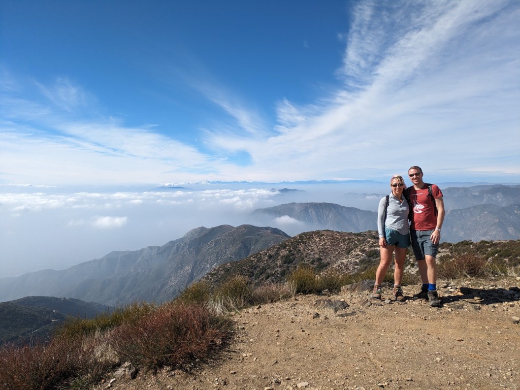
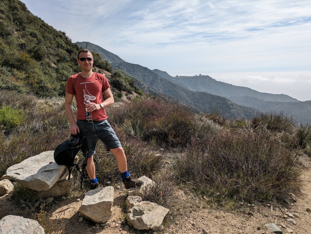
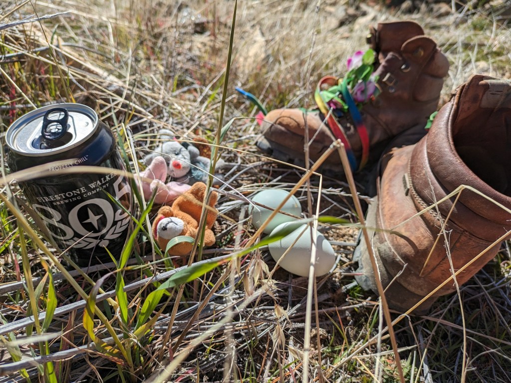
The Boys enjoying their eggs and 805s.
And why not another James-with-scenic-can shot?
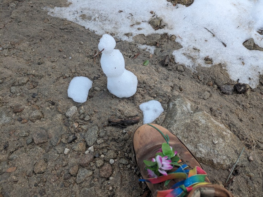
Actual snow, formed into an actual snowman!
The old beloved skyline from Strawberry and Wilson away to snowcapped Baldy.
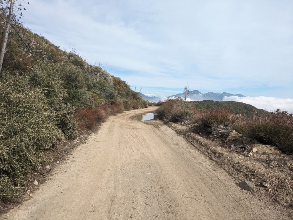
And an LA novelty: a puddle! Funny how picturesque it somehow looked.