Writing and research about bodies, minds, and texts—in sickness and in health
Condor Peak
17 steady miles (plus a short final scramble) to and from a solitary summit.
Distance: about 16.6 miles (26.7 km) round trip (plus a couple of small knobby detours if desired) Time: 7.5 hours, including a 50-minute lunch break Elevation gain: I think around 4,100 feet (1,250 metres) Difficulty: terrain-wise, easy until the 10 minutes up and down from the peak, which are difficult; navigation-wise, easy; fitness-wise, difficult (just in terms of stamina!) Drive: half an hour (23ish miles) from Glendale/Pasadena, via the 210 and the 2 to Clear Creek, then the Angeles Forest Highway to the Big Tujunga Canyon Rd, which you follow another 4 miles to the trailhead For a version that skips the first mile, see Hiking Guy’s helpful account here Rattlers seen: 1 (very small one taking up an impressive amount of the path!)
Back in LA for a writing/hiking/sunshine month with the tenuous excuse of having flown via LAX to a conference in Tucson after Easter, I’m staying in an Airbnb on the edge of the Verdugo hills, which are beautiful for short midweek sorties without needing the car. The weekends are for the San Gabriels, though. Where to go first? An old favourite? Off-piste with something new?
Having done Josephine and Lawlor on my birthday week here in February (and attempted Hawkins from Islip saddle on the day itself but been scuppered by snow), I thought something brand new would feel good. I didn’t decide until the night before, and spent a while in bed letting my eyes roam over the Tom Harrison “Angeles Front Country” map, lighting on all the familiar names and memories. It struck me that there’s a whole swathe of the middle, north of Big Tujunga Canyon Rd, that we’d never ventured into at all, and Condor Peak caught my eye as a simple-looking route right from the road.
I checked it out online and there wasn’t much to go on, except on AllTrails (which had rave reviews though not many other details if you have neither the paid version nor GPS) and Hiking Guy (whose very detailed write-up, with great images and peak ID pointers, I somehow managed to miss until I was writing this up). But it seemed navigationally simple enough (famous last words! though turned out to be true on this occasion), and although 17 miles was a bit longer than I’d imagined, as a simple out-and-back route I thought I could always stop before the summit if it was too much. (Stupid idea! Making it 3/4 of the way to the top of a mountain and then stopping is a remarkably hard thing to do.)
If you’re thinking of doing this one, bear in mind the low altitude relative to many of the peaks further east, plus the steady (you could say remorseless) climb and the lack of shade. It takes a lot to make me feel dehydrated, but I did by the final third of this, and drank all the liquids I’d brought with me, which is pretty unheard-of. I also concluded I need squidgier insoles for my next one! On the other hand, the simplicity and the length and the solitude make for a splendidly mind-altering experience. I had many new and valuable thoughts, and came back down to civilization feeling richer.
So, after faffing around having breakfast and making lunch etc., and then going to a couple of places to find an adventure pass for the car, I didn’t get to the trailhead until 10.
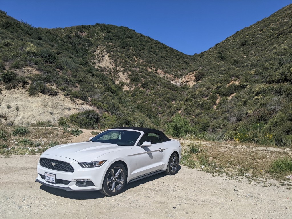
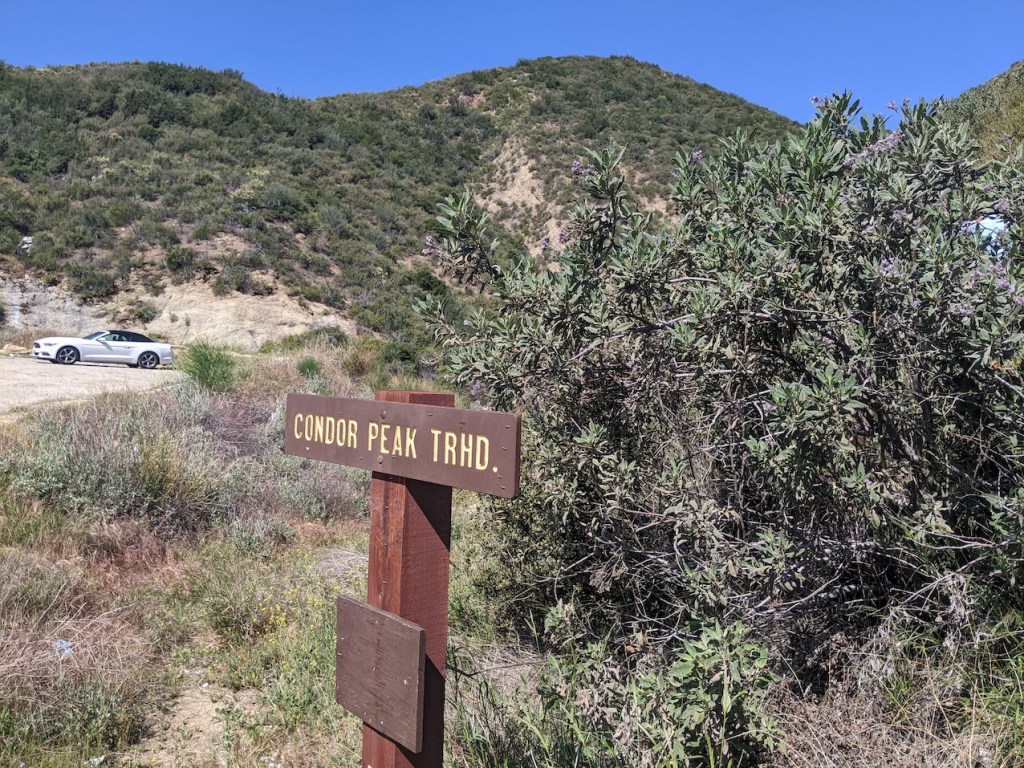
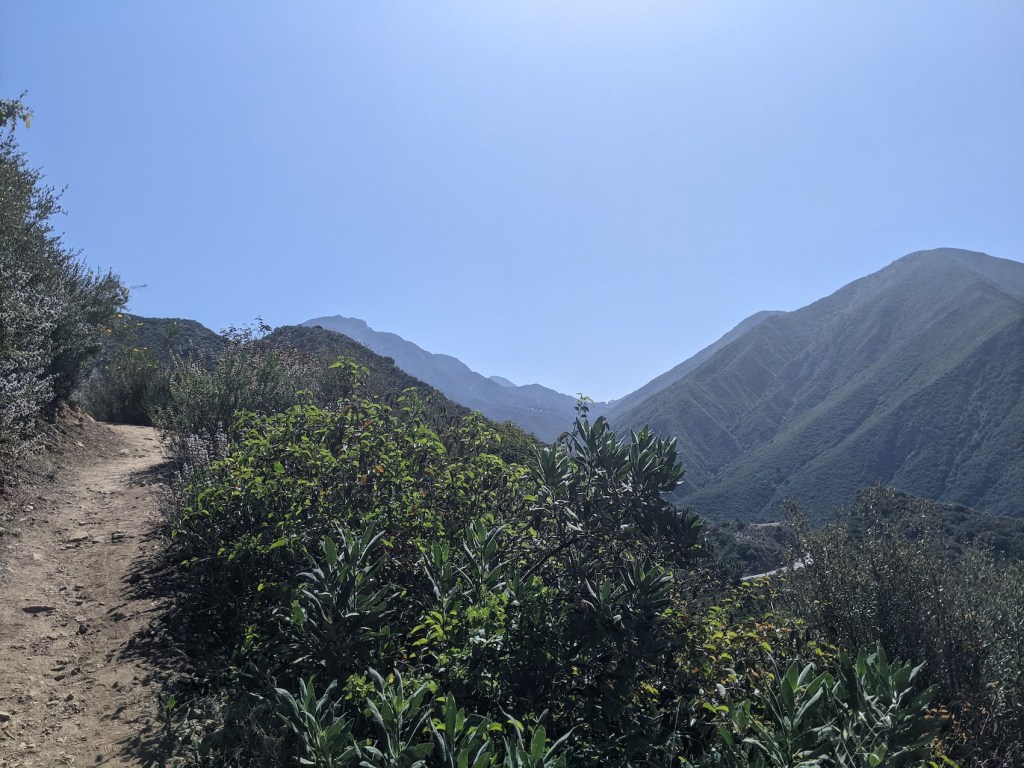
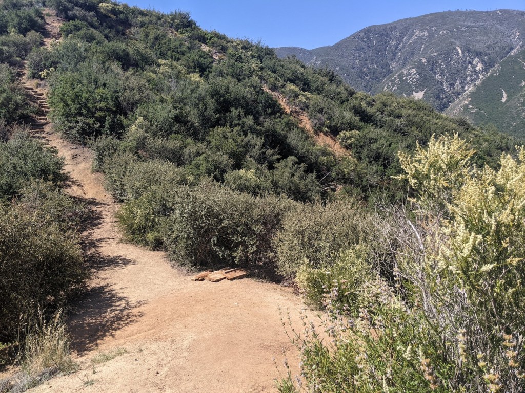
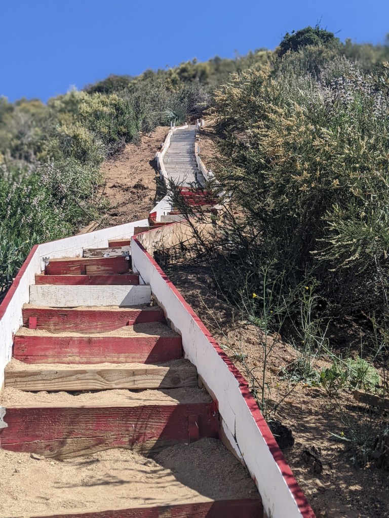
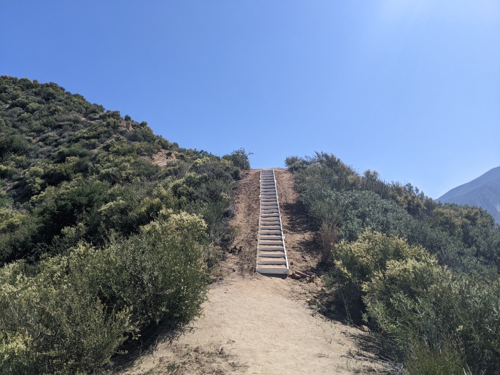
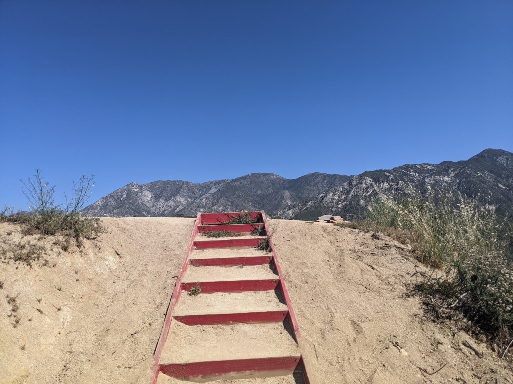
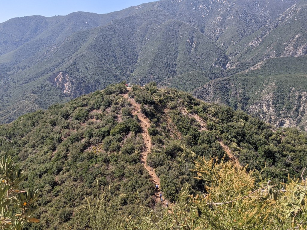
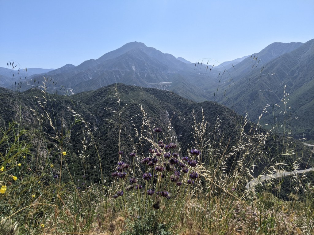
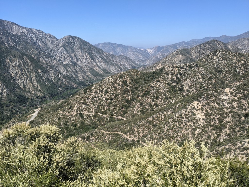
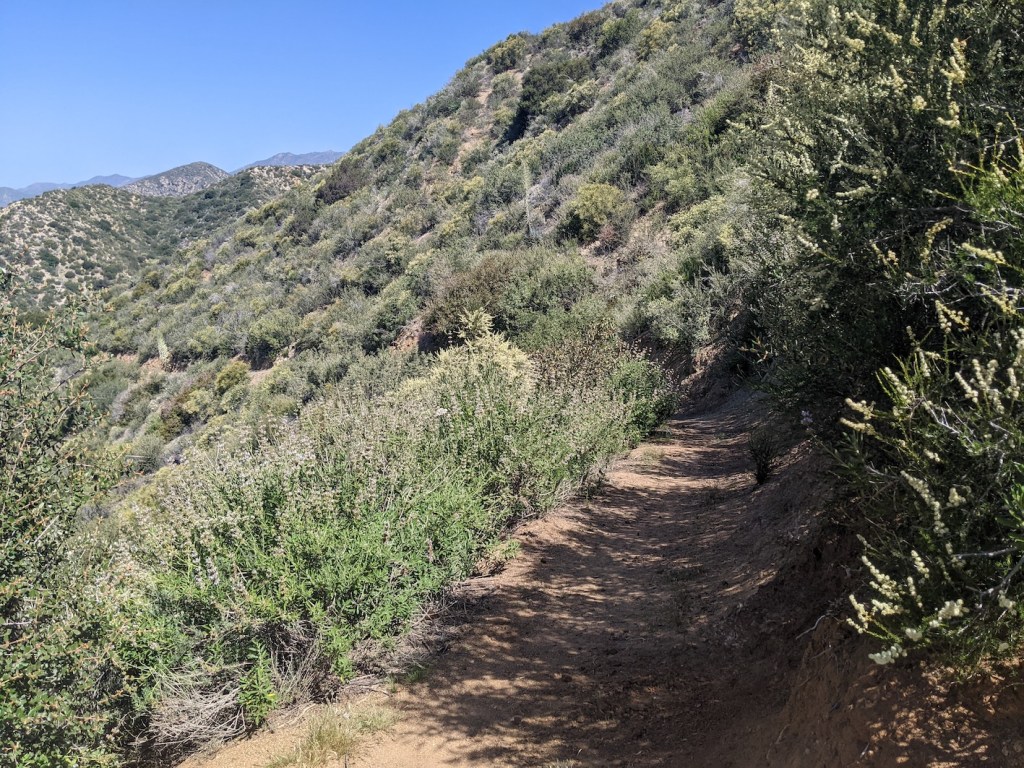
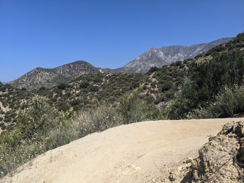
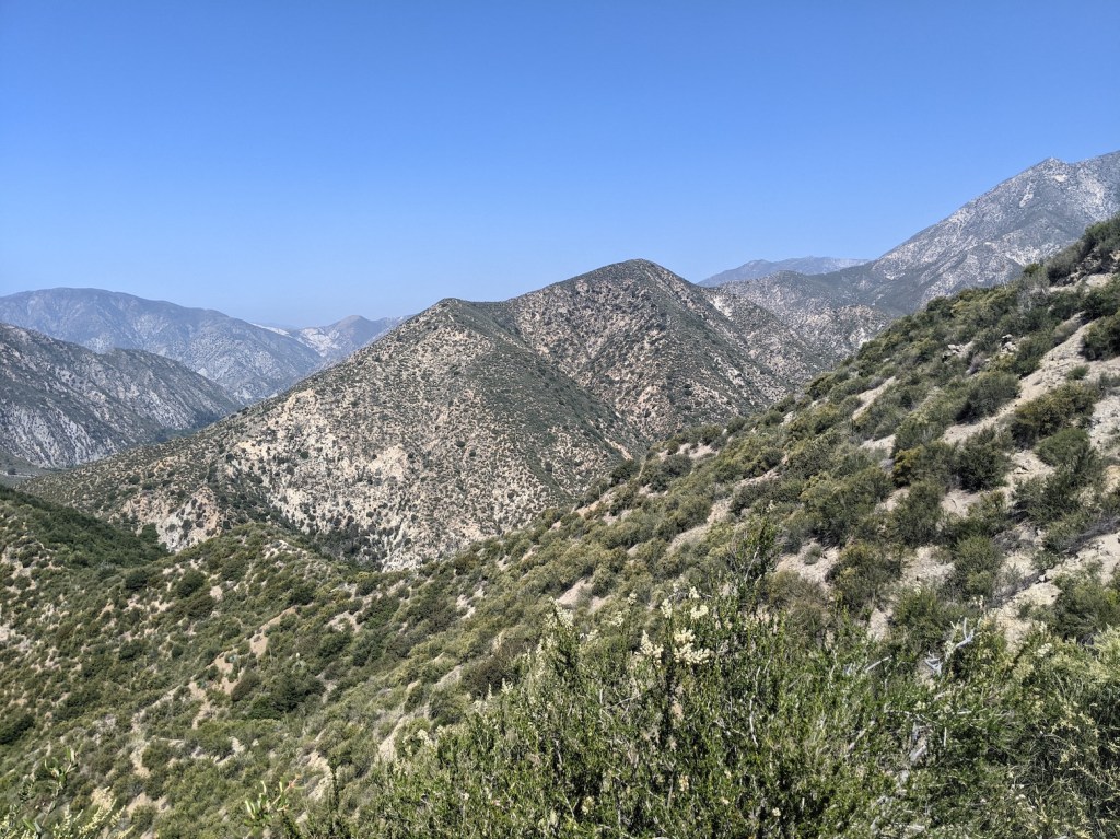
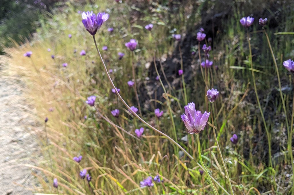
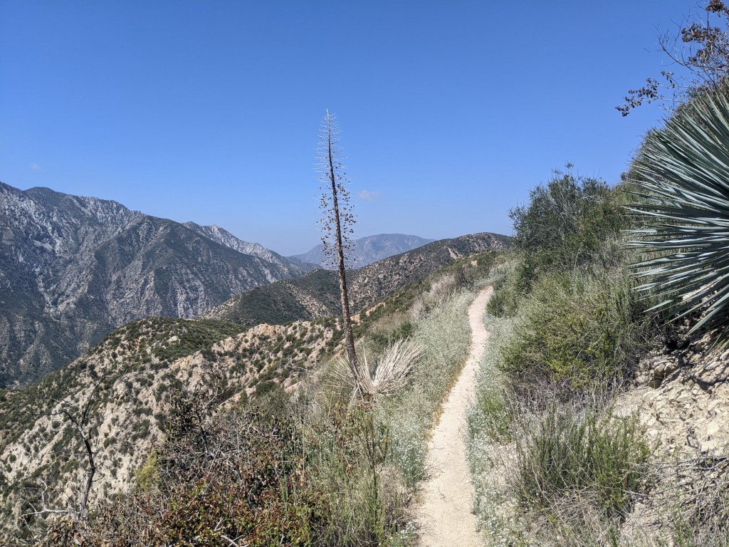
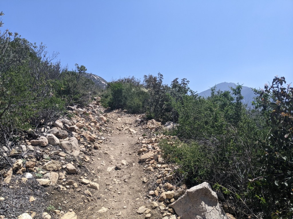
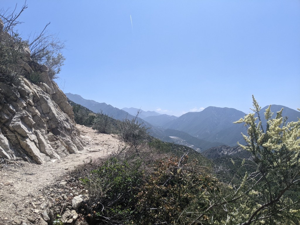
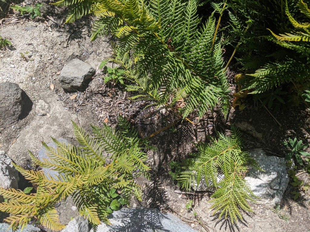
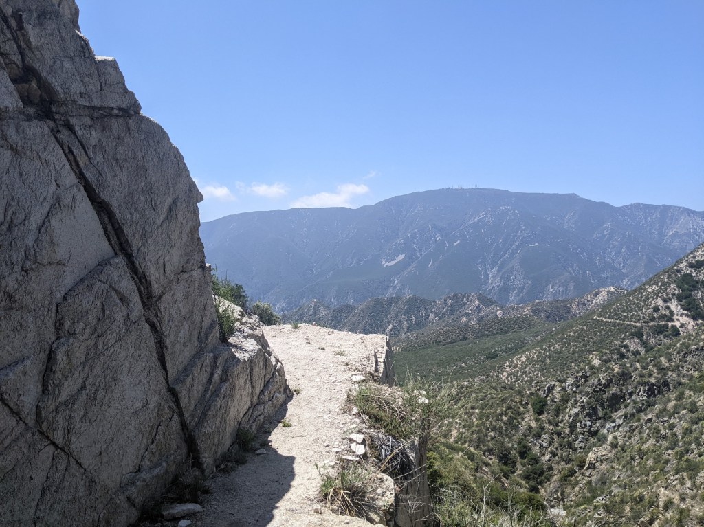
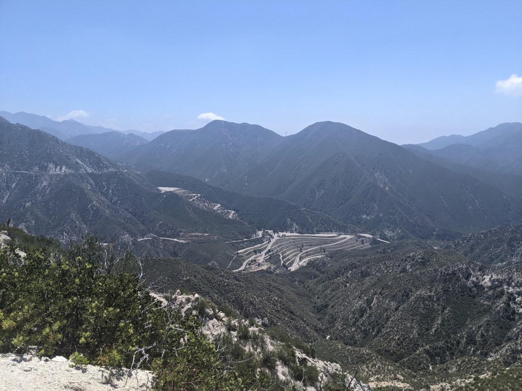
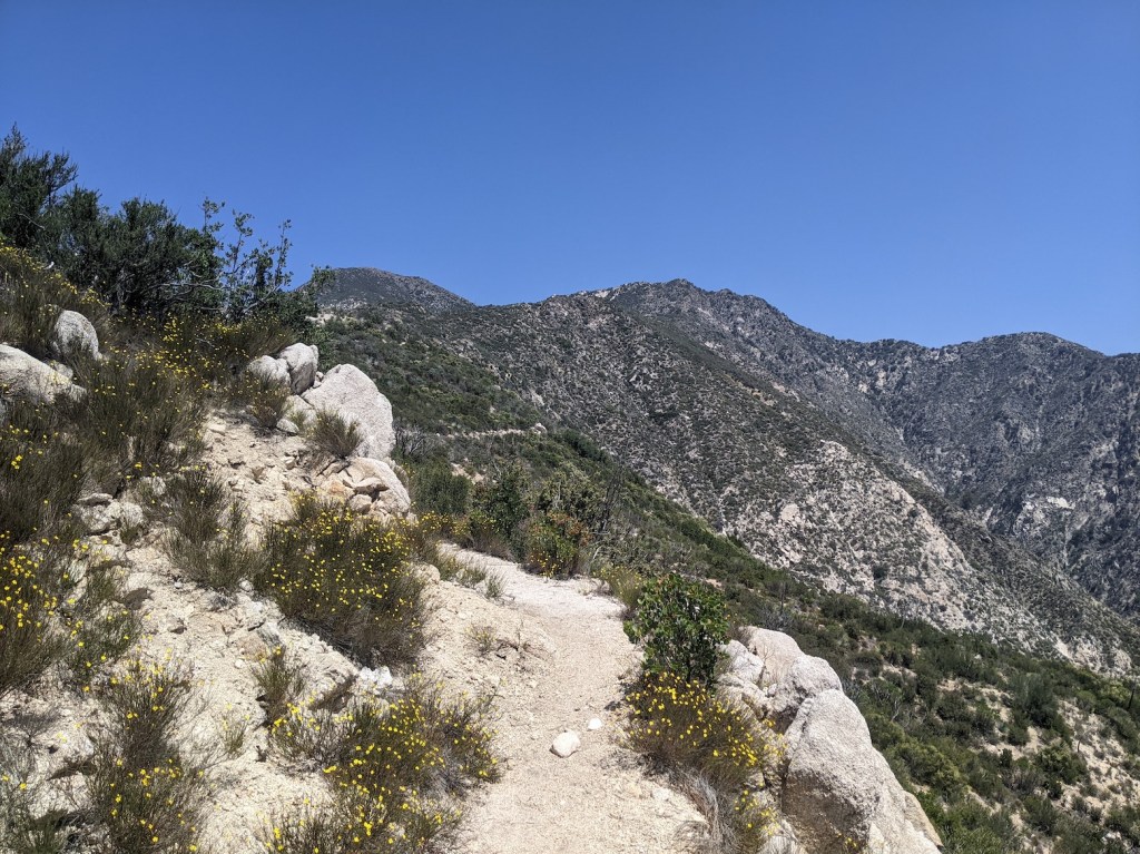
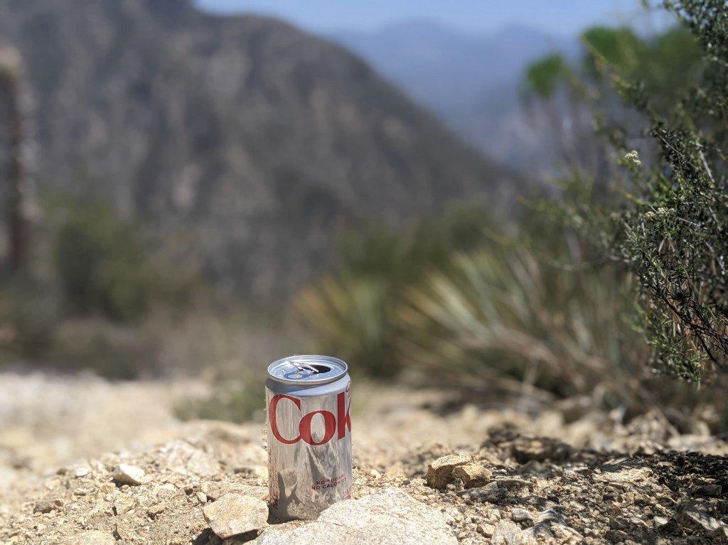
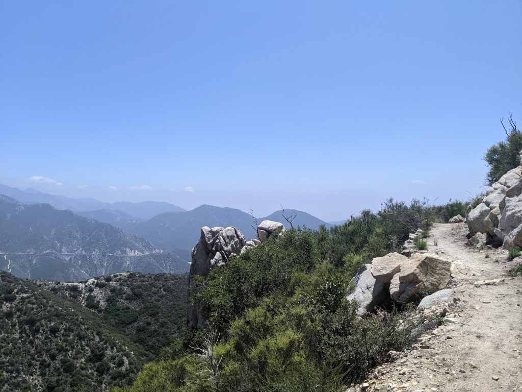
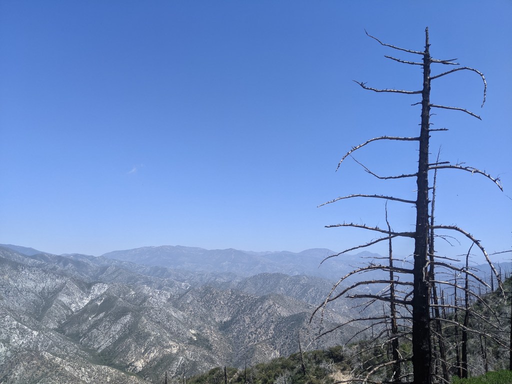
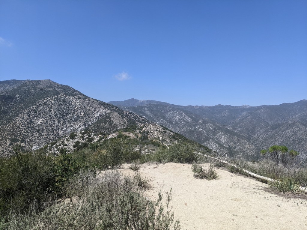
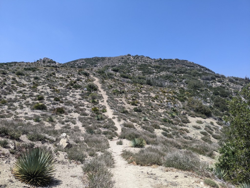
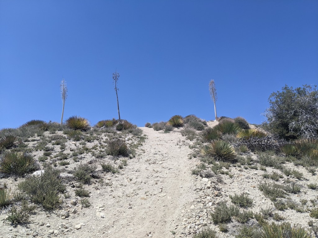
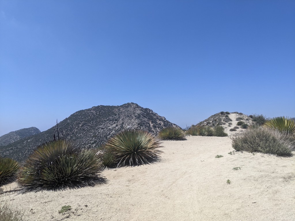
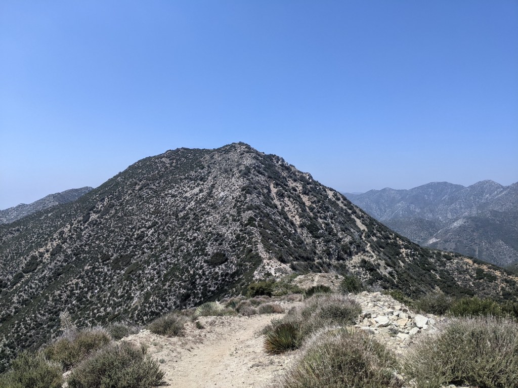
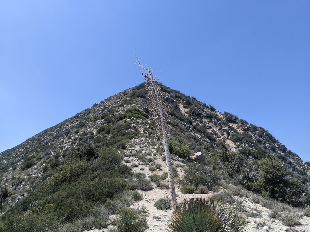
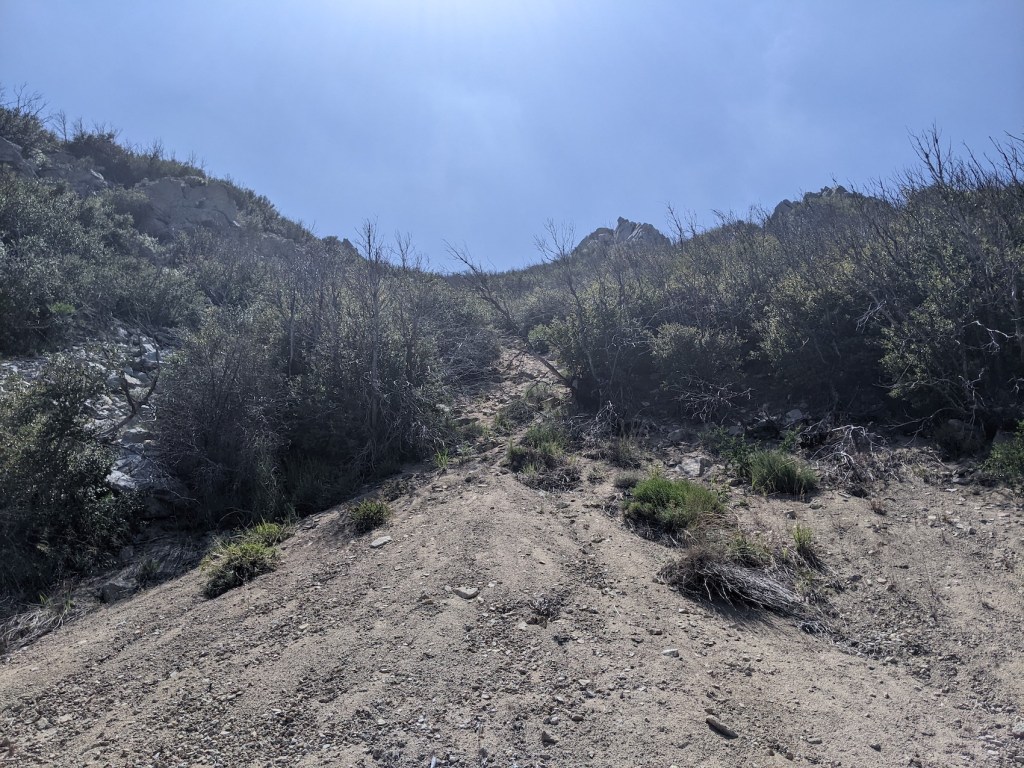
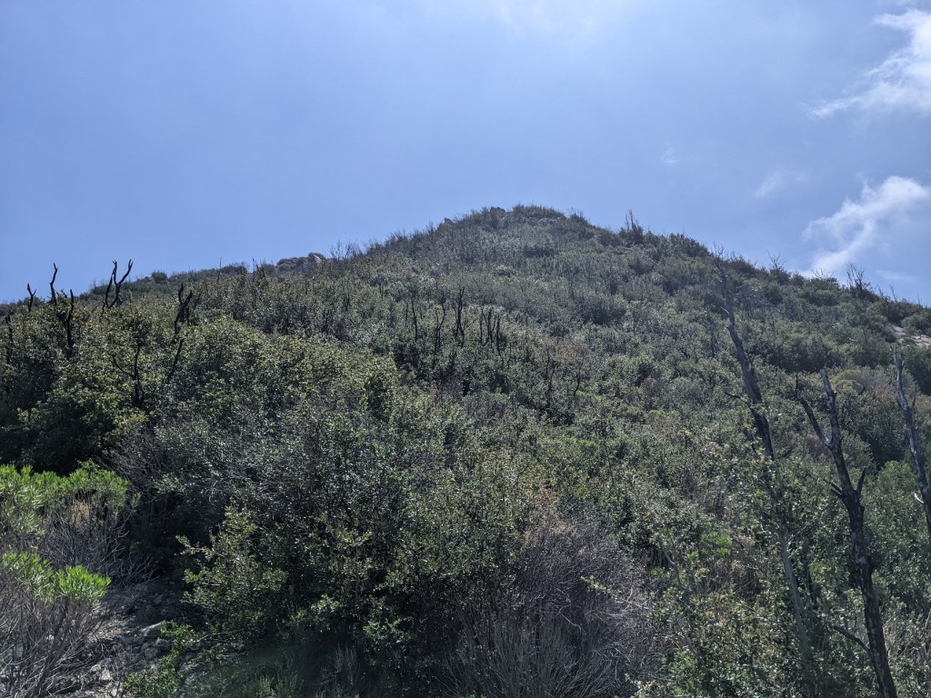
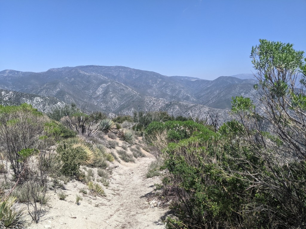
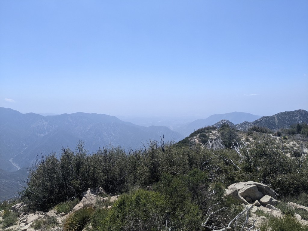
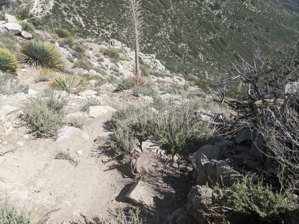
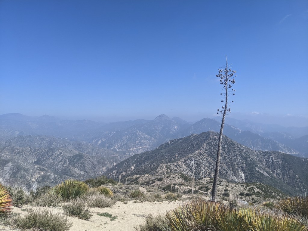
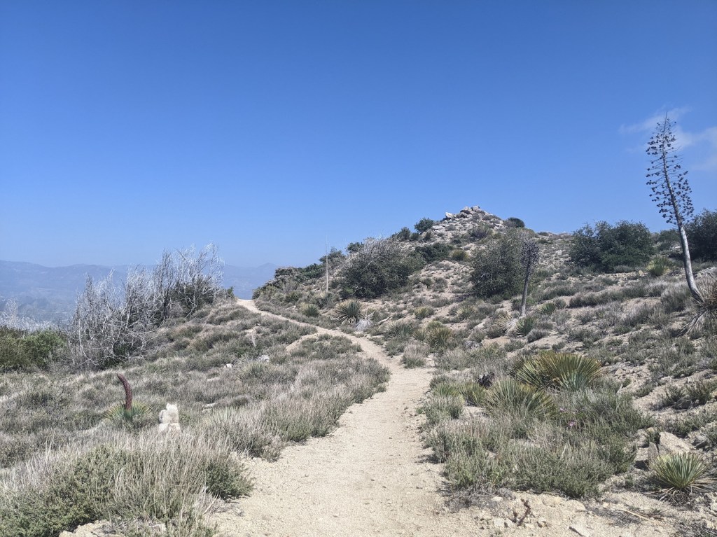
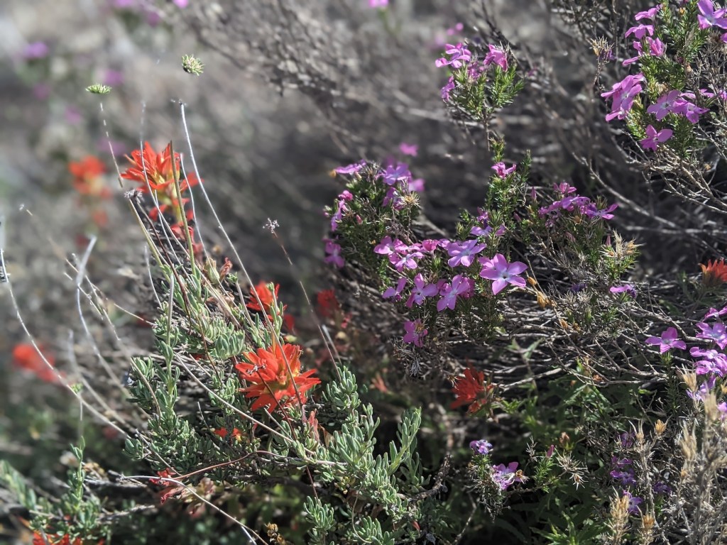
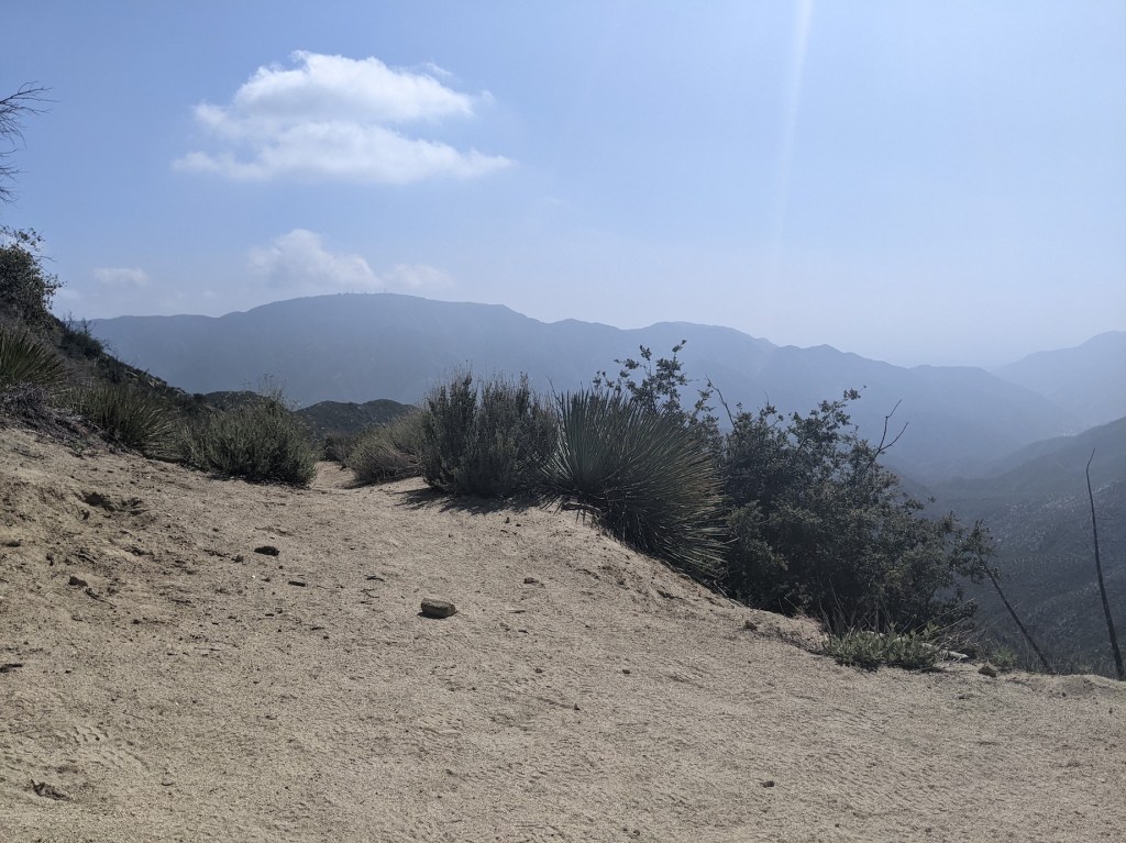
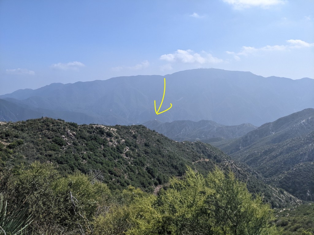
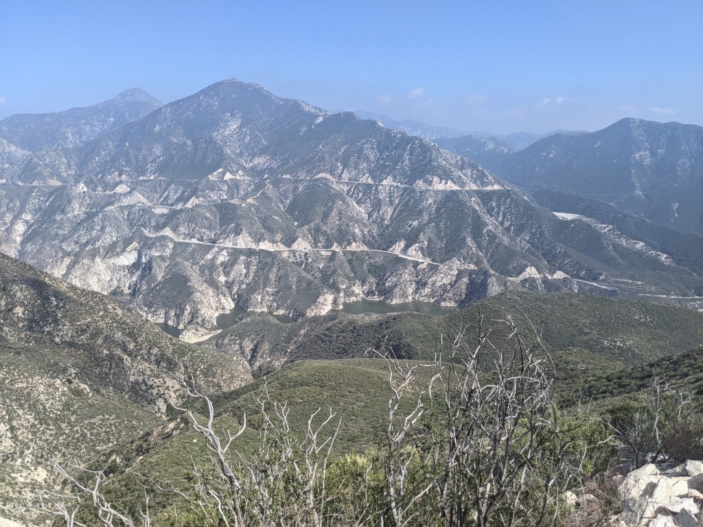
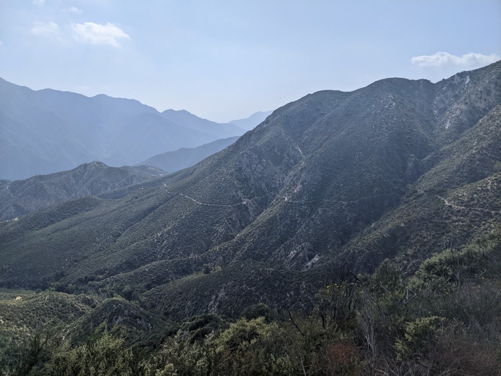
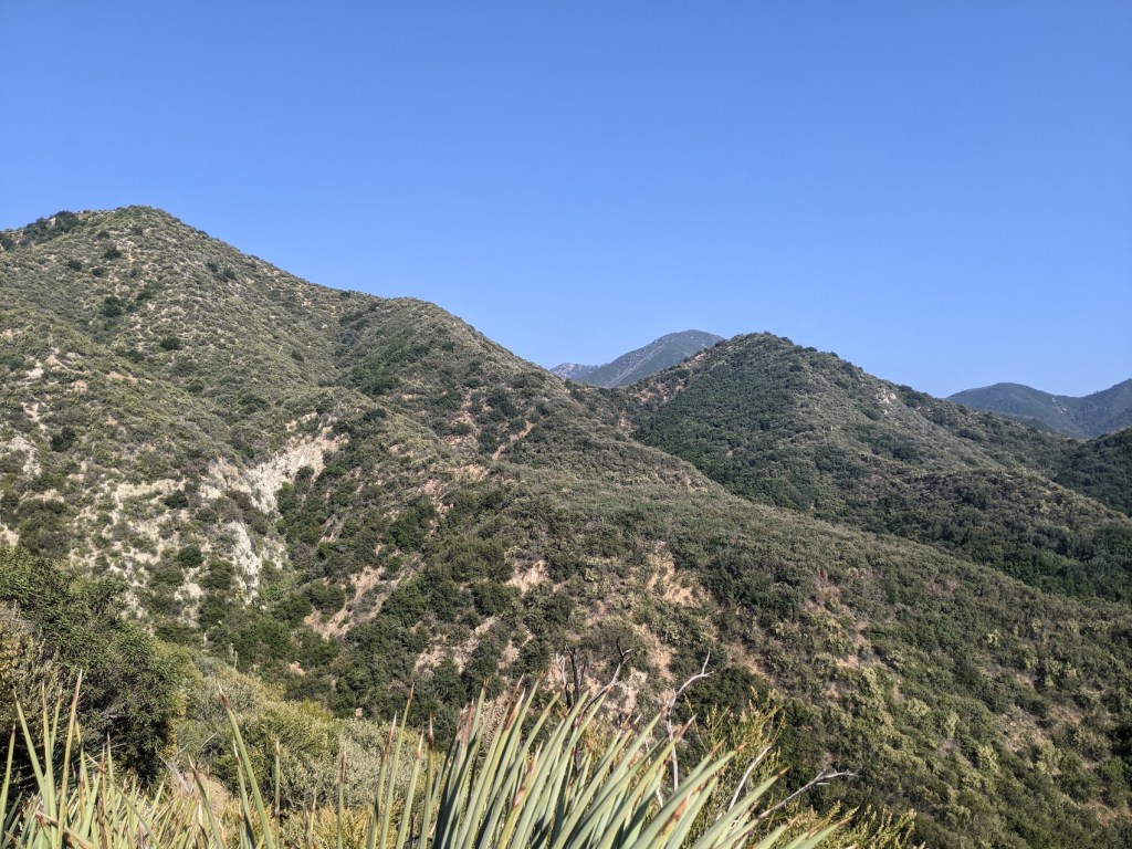
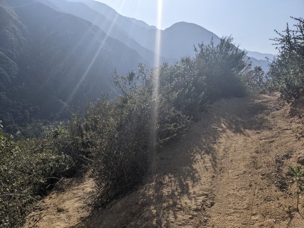
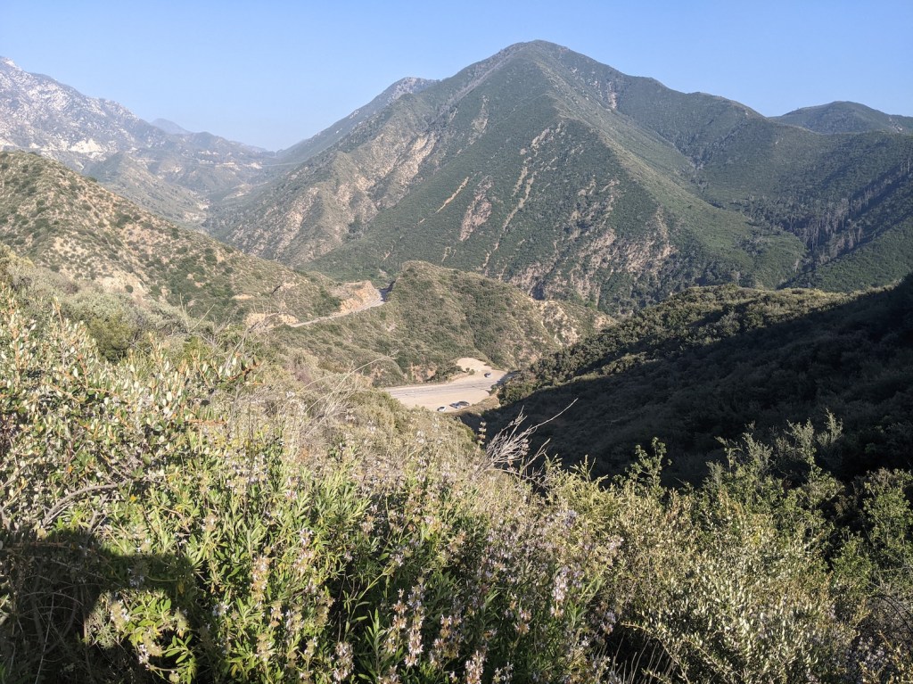
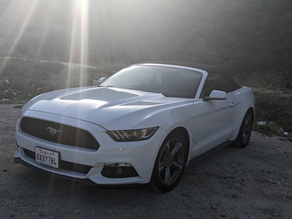
Why not start by showing off this month’s ride? Nice to have the trailhead to ourselves.Getting started at 10:10.I love hikes where amazing views like this start to open out 5 minutes in.After 10 minutes you reach a crossroads with steep inclines to the left and right. My map said nothing about multiple paths, and the one straight ahead seemed to be losing some height, so I chose right, partly because I thought a staircase this dramatic couldn’t be for nothing:Wrong! It led to a picturesque but pointless little knob.This knob (credit to Hiker Dan, whom we first followed on Hoegee’s Camp Loop, for popularizing this important geological term in the SoCal hiking world) dwarfed the lefthand one, clearly another dead end.On the plus side, the larger knob offered great views to the southeast.And the southwest.After that rather nice little 15-minute diversion, I got back to the crossroads and took the boring option, second right.For the next 20 minutes the trail heads northwest staying quite close to the road, but then it curves off to start its northeasterly progression and gains more height, still quite gently at this point. Feeling like proper wilderness now, just under an hour in.Such a lovely time of year to be here. (More innuendo in the purple ones’ name, apparently blue dicks.)A good dead Spanish bayonet is the finishing touch to any view.About 1h20m in, the path gets a bit rockier for a while and starts the ascent up towards Fox Peak (5,033 ft / 1,534 m).Such fetching curves!A stream crossing at Fox Spring after another 20 minutes, with surprising visible water (not showing up brilliantly here) amidst the bracken.Makes me feel like I’m in LotR or something! 2 hours from the start, views into the valley southeast with the paraphernalia of the Big Tujunga dam.And the gradient increases a bit from here.10 more minutes, and high time for a trademarked refreshment break.Then you climb steadily for 35 minutes and realize you’re really quite high up now. The air gets a touch of cool in it.In another 10 minutes, and 3 hours from the trailhead, the trail reaches a saddle with the spur up to the top of Fox off to the right, and some old fire damage on its north-facing slope. Here’s the saddle and the final phase of the route up ahead.Starting like this, along a wide ridge heading roughly northwest.Various AllTrails posters had talked about the false summit where you may as well stop because the scramble up to the real one isn’t worth it. Here’s the false one, just under 3.5 hours from the start.And here’s when the falsehood reveals itself and you come over the top and realize you’re nowhere near the actual top (off to the left here).Starting to see why people were saying it was difficult. Looks like more than a “scramble” to me. (There’s a nice guide to scrambling grades on Ascensionism here. I guess this is maybe US class 2?)
A few more minutes, down where the scramble starts. Not convinced.
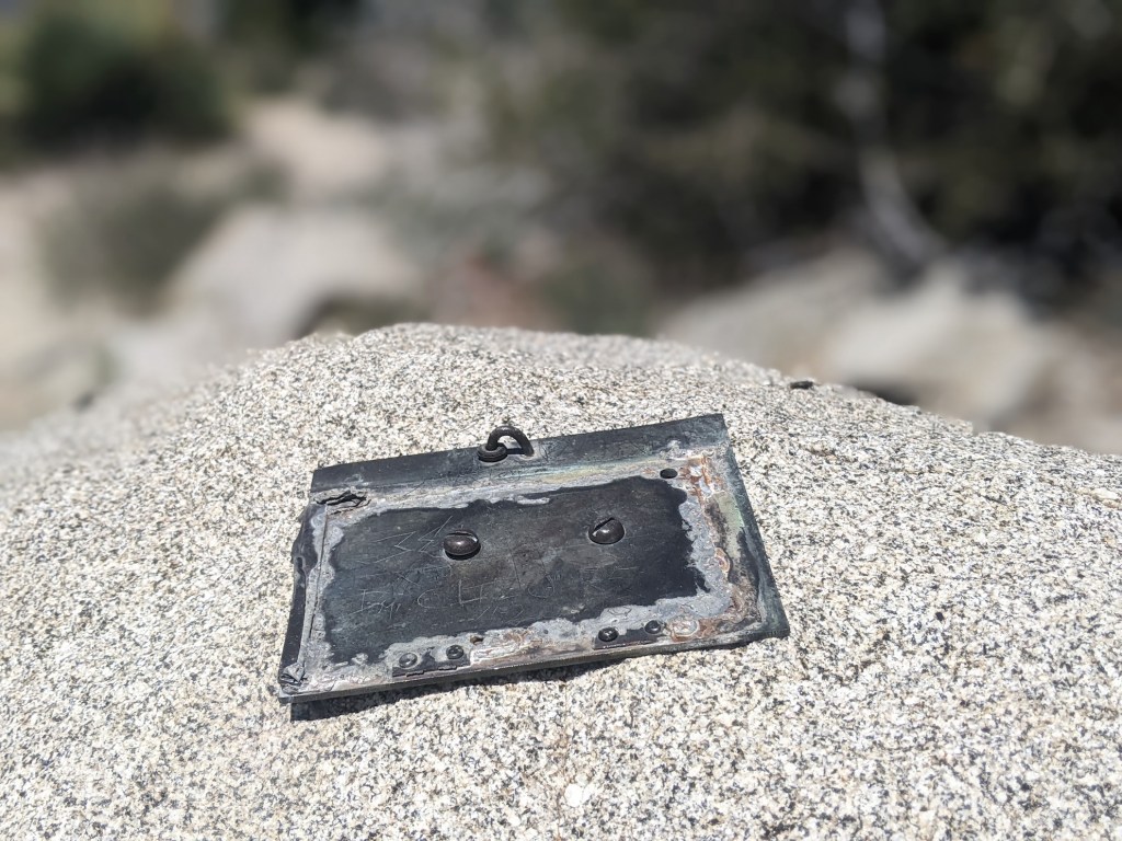
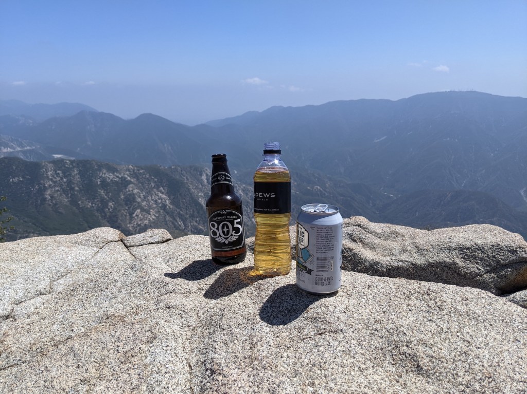
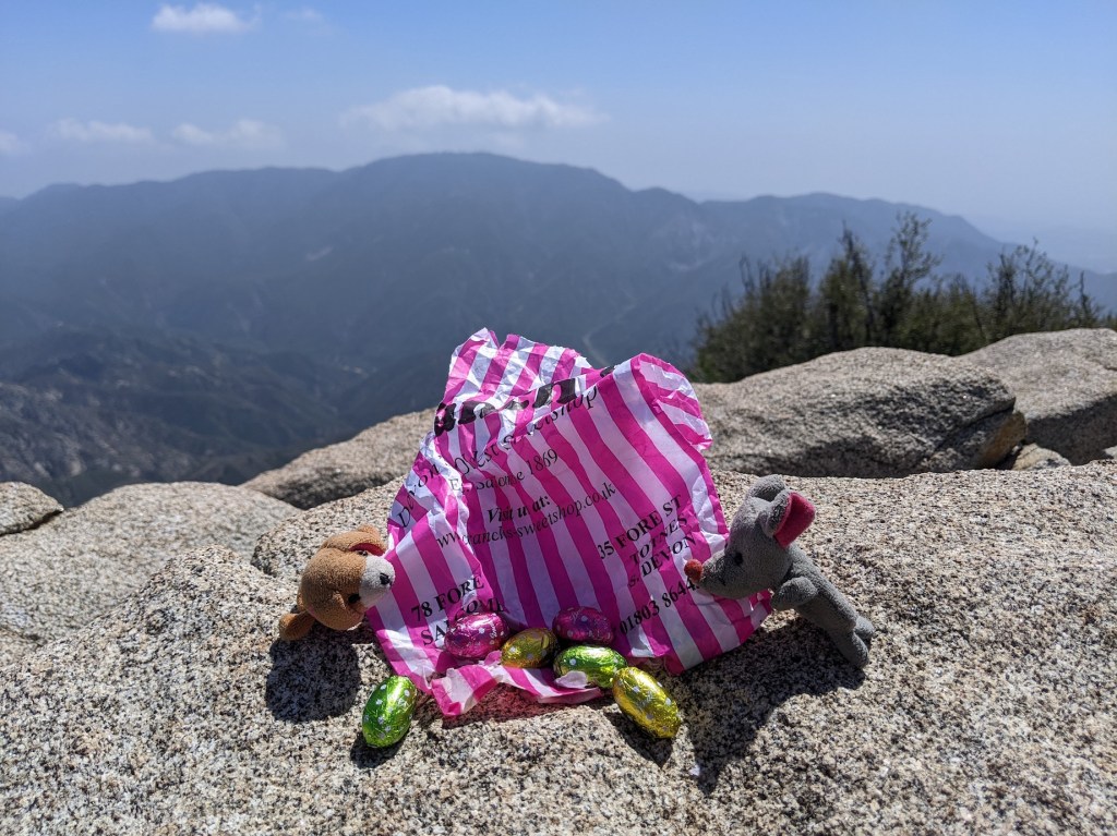
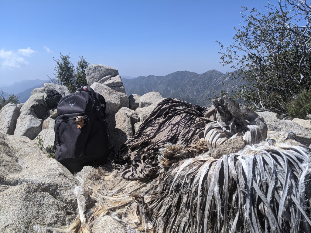
Carried on for a few minutes round the back (north side) to see whether by any chance there’s a better way up. Not looking good!Nope!Turned back at this point, where the trail starts descending to the north towards Mendenhall ridge. From here, if you did a little car shuttle, you could continue on to the next junction, head back south to Tom Lucas peak and then take Trail Canyon back down to the trailhead of the same name, 4 miles west along Big Tujunga Canyon Rd. Or if you were camping, you could continue north past Iron Mountain and Indian Ben saddle up to Lightning Point campground. Adventures for another time!Anyway, in the way of these things, when I got back to the bottom of the slope that had looked horribly impassable, as soon as I got a bit closer, a little path carved by other undefeatable human feet revealed itself, and it only took 10 minutes or so to cover the final 1,000 feet to the real top (5,140 ft / 1,567 m), slightly anticlimatically marked by this.And also by this. I meant to come back to it after luncheon to add my name to the register, but forgot! I’ll have to nip back some day. Meanwhile, let this post serve as proof of my presence.I messed around on the rather extended summit, trying to decide which spot to picnic in, before concluding the rocks of the official summit marker were the best after all—and what luxury to be somewhere empty enough to have the very top all to yourself. (I only saw 3 other hikers and 3 mountain bikers in the whole 7 hours.) So, on a clear day apparently the Pacific is visible. Today was not a clear day!But it’s a stunning spot nevertheless, for a picnic starting with bonics (beer+tonic—don’t usually do it with one as nice as 805, but god this tasted good)……and ending with the remains of some well-travelled English Easter eggs.Nothing beats a bit of top-of-the-world lounging… …in a comfy nest made of another helpful dead bayonet plus a nicely camouflaged shawl. Strongly disagree that the real peak isn’t worth it; the false one has nothing on this.
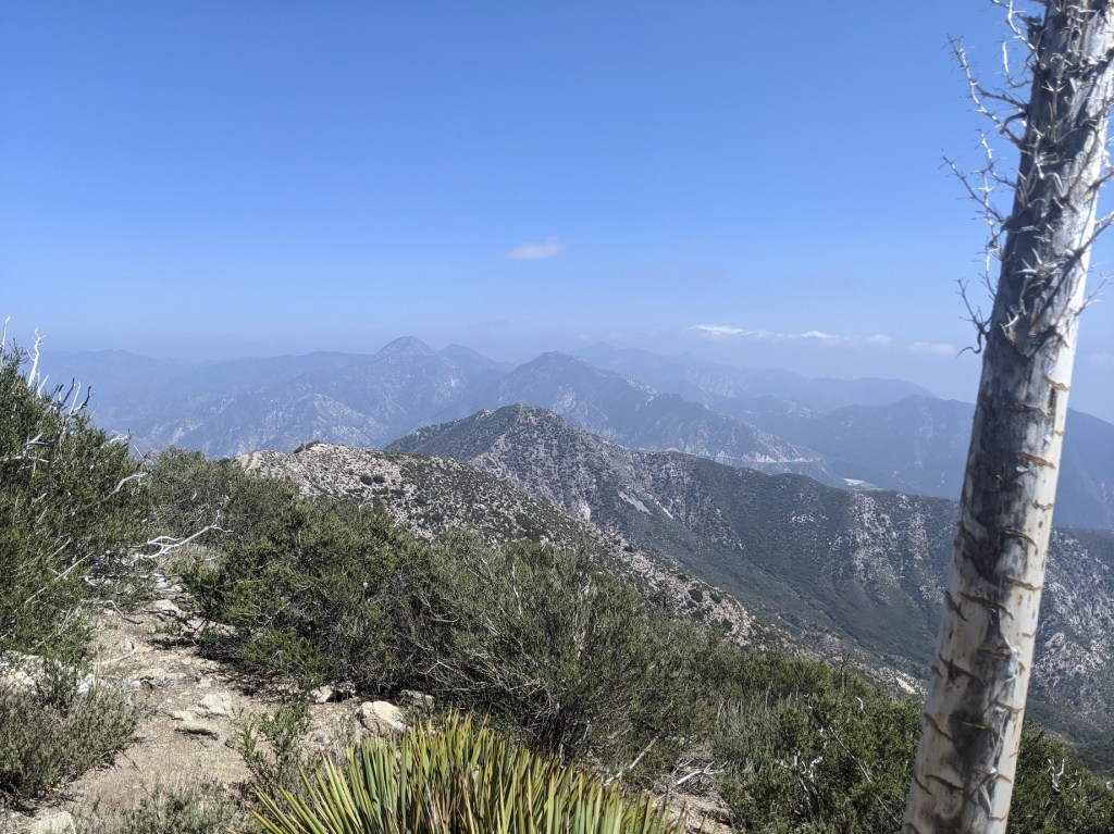
After 50 minutes at the top, including a brief doze, I forced myself up, aware of how far I’d come and how the afternoon was racing by (nearly 3 pm already). Immediately you get great views back over to Fox (the first sharp lump in the middle) with Josephine and Strawberry next up, and Wilson in the haze beyond them.
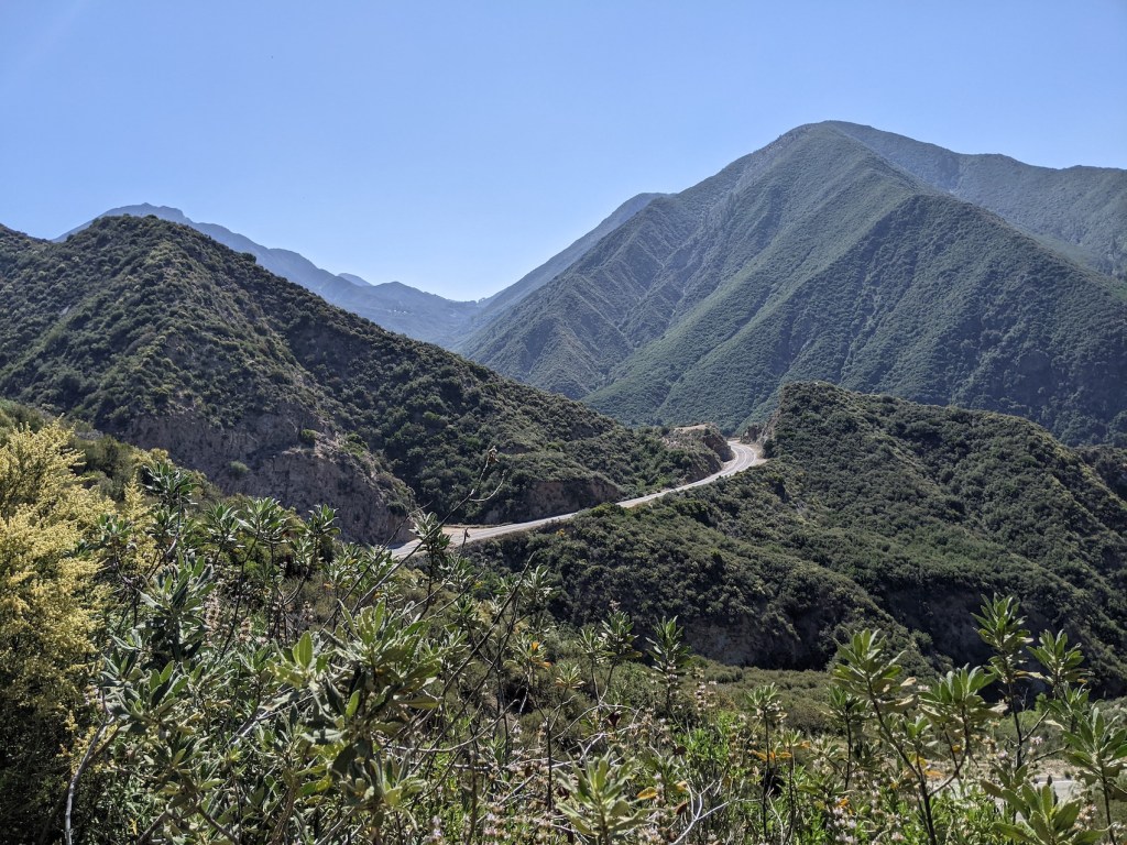
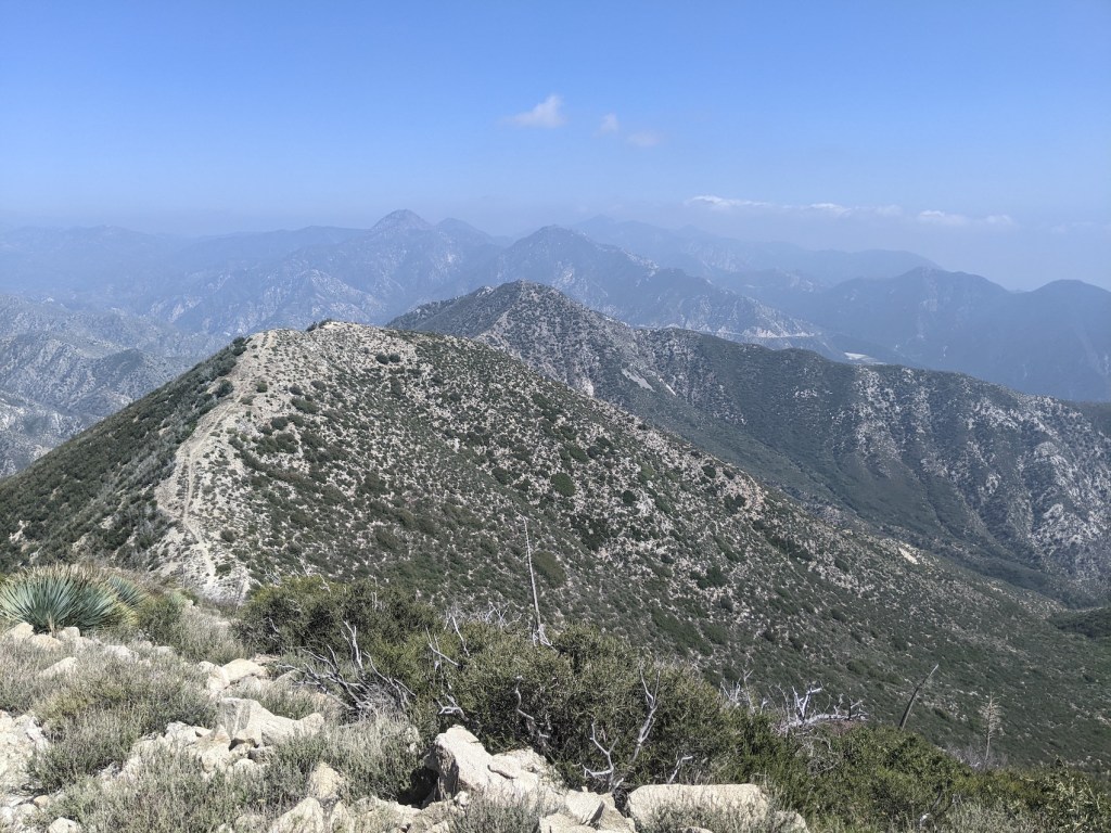
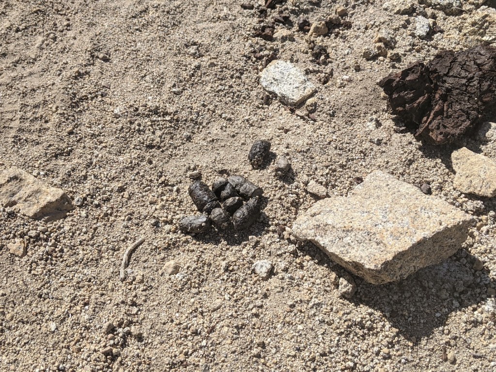
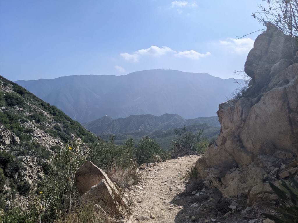
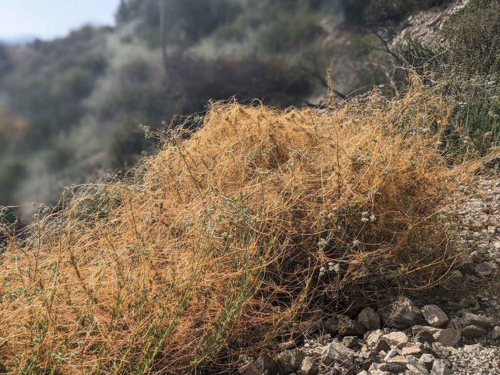
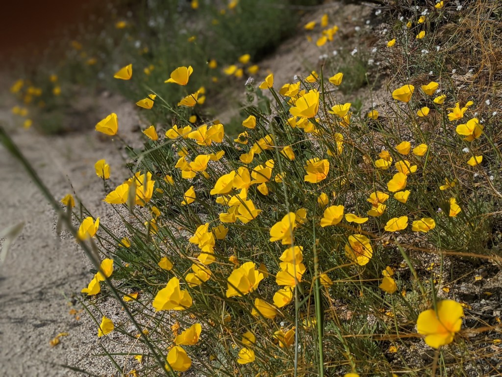
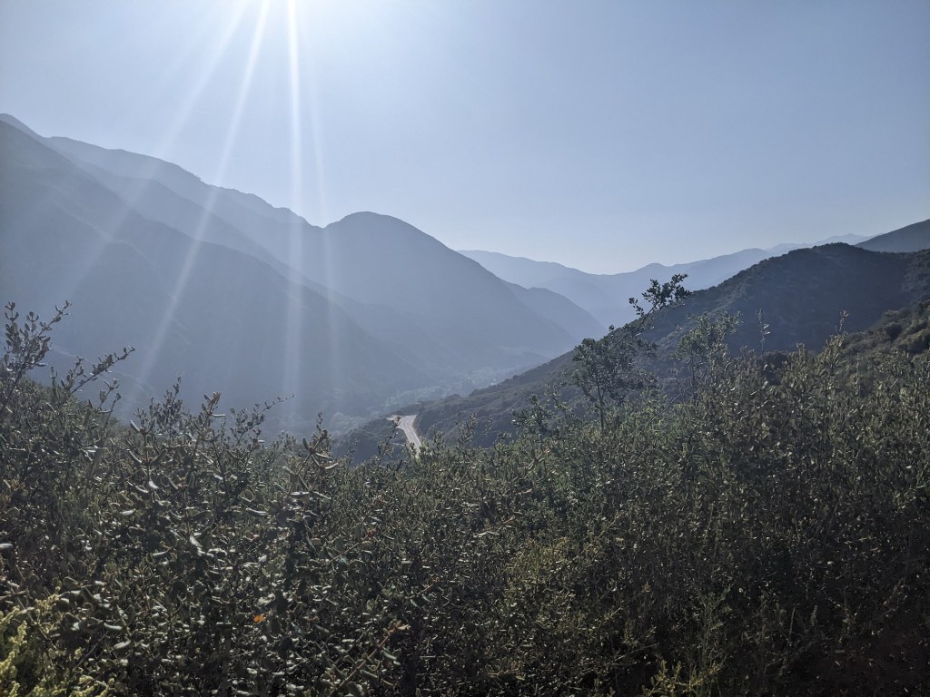
And here’s where the path back up to the false summit comes into view just before you start the scrambly descent.Since the climb up had been quite slippery at times, I was hoping the way down wouldn’t feel worse. But although there is a bit of loose scree here and there, and a quite serious gradient (for once this kind of shows up in this photo!), it actually felt fine, and the path is pretty clear for the most part, skirting around the south side throughout.These southeasterly views over the front range are just too good to pass up with the camera. This is from the false summit.And some nice little meandering bits along the wide ridge.Thought these might be traces of the ever-elusive bighorn sheep, but probably anyone who knows anything would tell me they were just dog shit.More pretty flowers, though. Some kind of Indian paintbrush, I think? Not sure about the pink one. Let’s say it’s something smutty.35 minutes from the top, you’re back at the Fox saddle.Slightly daunting to realize, at quarter to 4 and feet already feeling a bit sore and body a bit dehydrated, that I could see those first two knobs just above the trailhead, the higher of which I’d so profligately raced up at 10 in the morning, and they didn’t look at all close! But the splendour of it all gathers you into your stride again.And the snaking way down is nicely clear.And the lowering sun round the seductive bends pulls you onwards.And there are a few fun distractions, e.g. from an impressively evil-looking choking weed apparently called chaparral dodder, which sounds way more doddery than it looks.Slightly more conventionally pretty flora—I think mojave poppies?By 5:15 the saddle above the trailhead came into view again.A few minutes before, here’s what AllTrails and Hiking Guy mentioned (see the latter for detailed instructions) as a shortcut where you park a bit further along the road just west of Vogel Flats Rd and skip the first mile or so.5:30 (2h40m from the top), the view northwest from the mini saddle.
And the view the other way, with the car enticingly visible.
And reunited exactly 7.5 hours after setting off. I drove back down into LA the other way, east on Big Tujunga to meet the Angeles Forest Highway and then back onto the Crest Highway for the beloved old run back down to La Cañada. Day hikes round here are so delightful not least because the top-down music-up mountain roads are such fun.

One thought on “Condor Peak”