Distance: 4.4 miles / 7.1 km (if you don’t go wrong like we did)
Time: 3 hours 20 minutes including half an hour for lunch and half an hour for going wrong, i.e. about 2 hours 20
Elevation gain: 1,201 feet (366 metres)
Difficulty: terrain-wise, easy for the first third, moderate up to the summit, and difficult on the descent; navigation-wise, easy if you know what you’re looking for!; fitness-wise, mostly easy, a bit of moderate up to the summit
Drive: 30 minutes (20 miles) from old town Pasadena, west on the 210 and east on the 2 to Red Box picnic area
We followed Modern Hiker’s account here — mostly helpful as ever, but a bit lacking in detail on the two main junctions
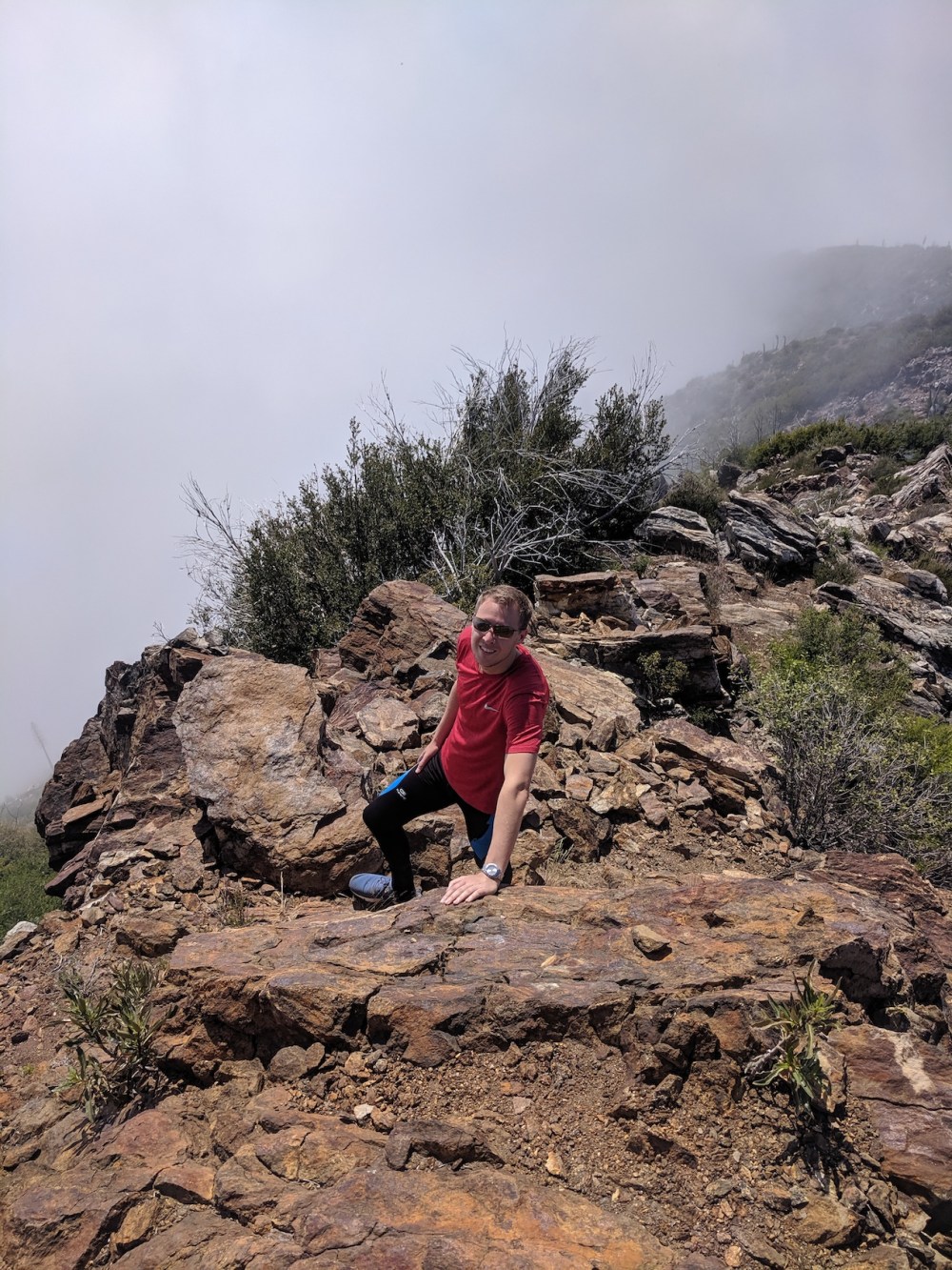
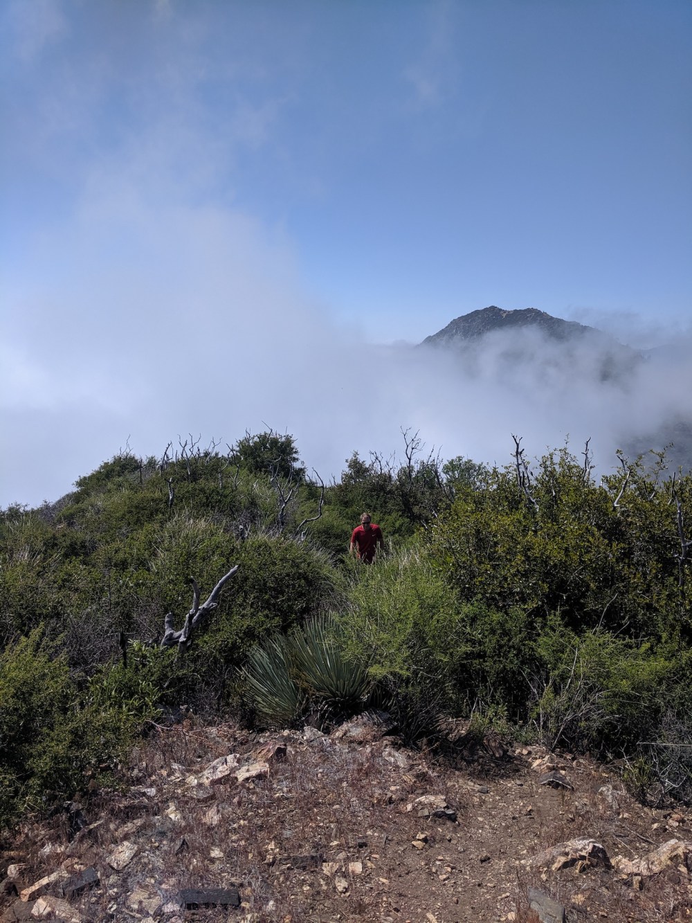
This was the hike we chose for my first one back, the day after I flew in from England: it’s fairly short, close to territory we know well (Josephine and Strawberry), and looked nicely varied. It didn’t disappoint, and its theme for us was sunshine and cloud. All the drive up to Red Box we were trapped in cloud, getting thicker and foggier as we gained altitude. By the car park there was more light breaking through, and a few metres’ walk and we were out of it, magically into bright blue. The cloud came and went for the rest of the hike, the upper edges of the marine layer curling up to the path and then retreating, changing the views with every few seconds that passed, and engulfing the summit of Lawlor only a few minutes after our sunbathing picnic lunch was over.
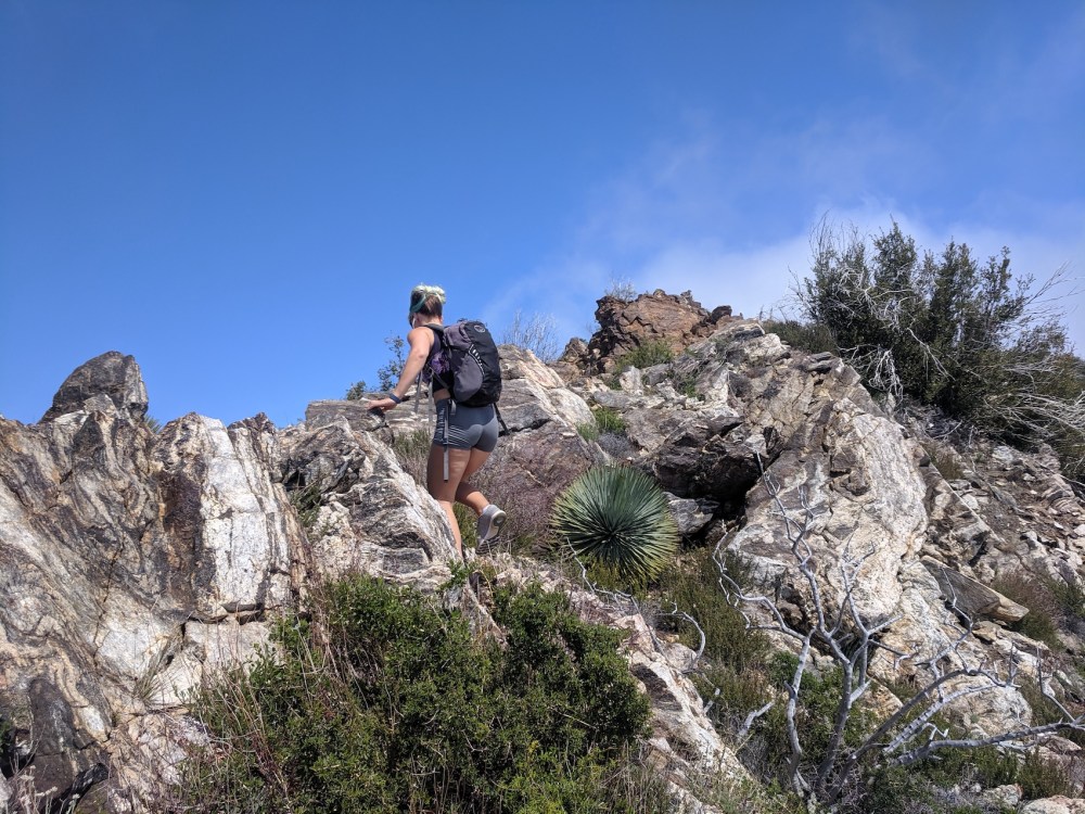
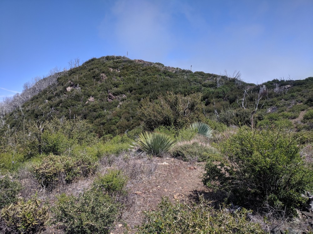
So, starting at Red Box, you cross the 2 and walk a few metres up the road to join the marked trail to Strawberry. The trail follows the highway for a little while, then turns north and heads gently up towards a saddle (at the 1 mile mark) which the fun descent route for later will bring you back to. For now, keep heading northwest, more or less following the mountain’s contours, until after about 1.2 miles (1.9 km) you get to a four-way junction where paths to Strawberry Peak and Strawberry Meadow head off northwest and northeast, and you double back on yourself to take a much fainter path southeast up the slope you’ve just been circling round. Then there’s another 0.9 mile (1.4 km) of slightly steeper ascent, first through brush, then emerging onto a rocky ridge followed by more brush as you approach the summit.
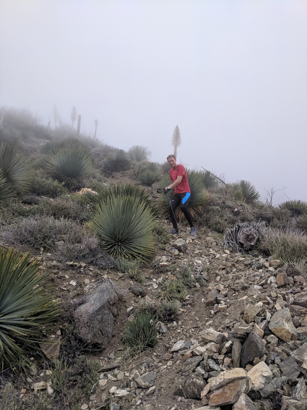
For the return, you can go back the same way if you like your paths solidly path-like. If you don’t mind dodging Spanish bayonets and surfing scree, take a much shorter (0.3-mile/0.5km) steeper way down. You find the start of it by doubling back a few metres from the very top to a use trail that heads directly south, and after 25ish minutes of fun, you’re back to the saddle you got to at mile 1. (Don’t make the mistake we did, of heading southeast from the summit proper; that takes you consistently east and not down quick enough to be looking like we’d get down to the car any time soon – though zero visibility beyond the trail itself didn’t help.)
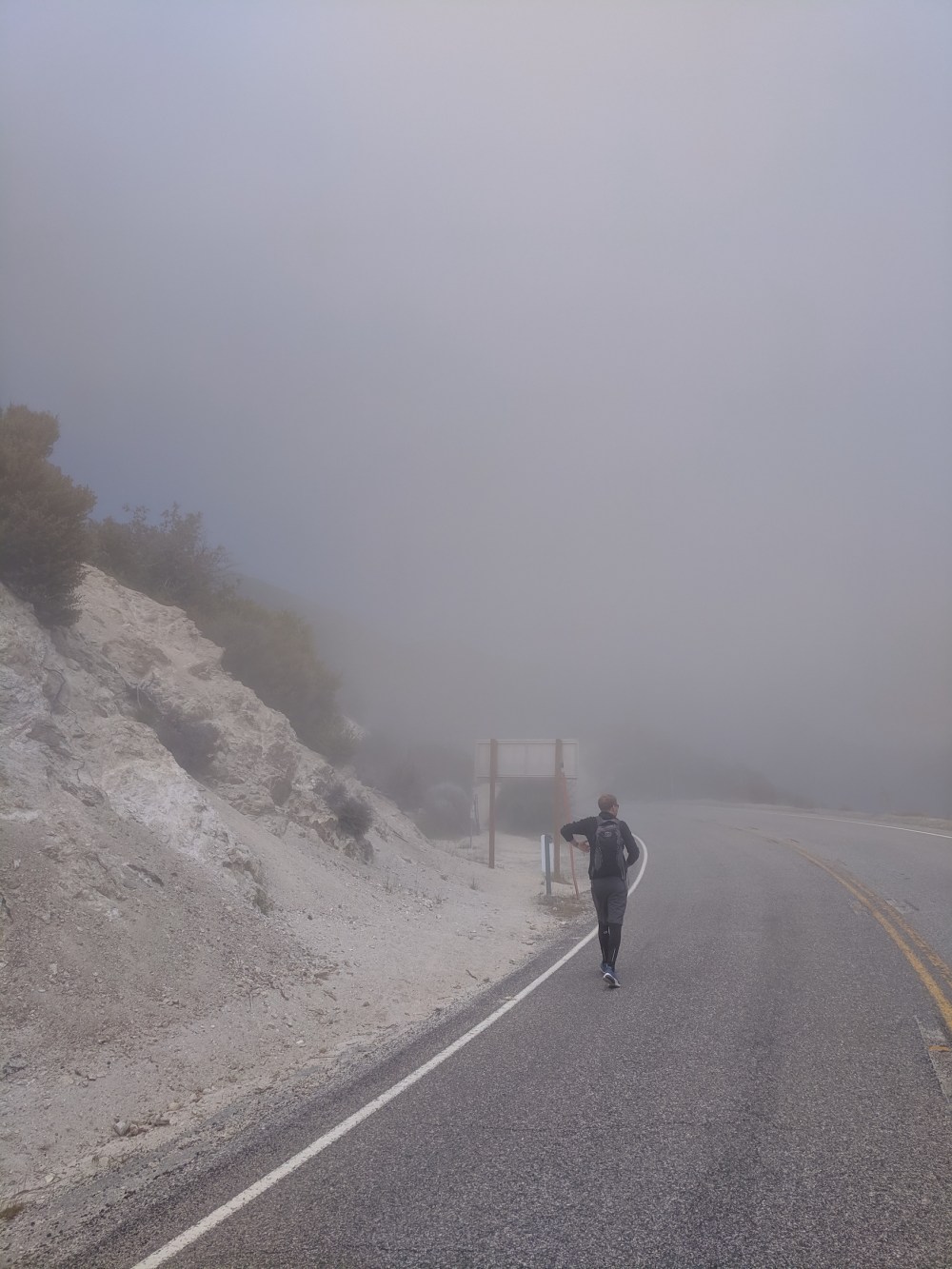
The grey upper reaches of the marine layer
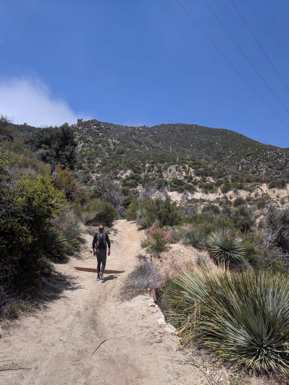
Two minutes later, above the cloudline
A murky-looking marine layer
Tentacles sneaking up on us
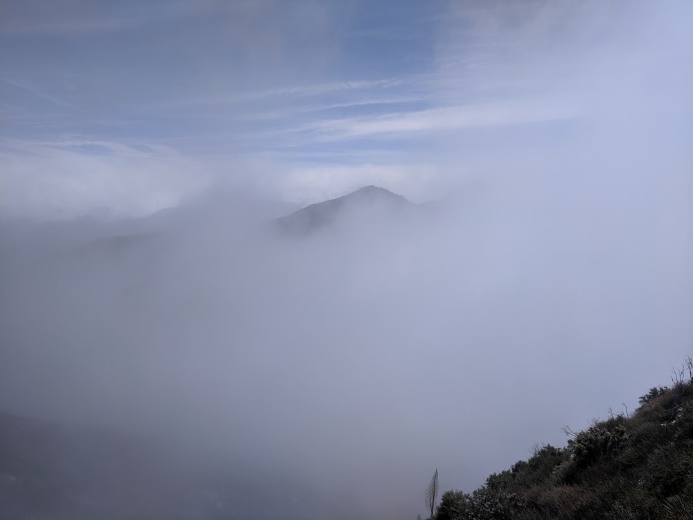
The San Gabriel peak peeking through
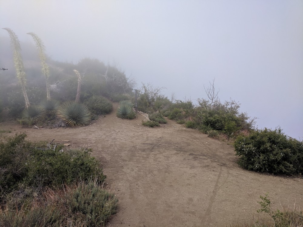
The junction of paths: Strawberry Meadow signed to the right, Strawberry Peak unsigned to the left…
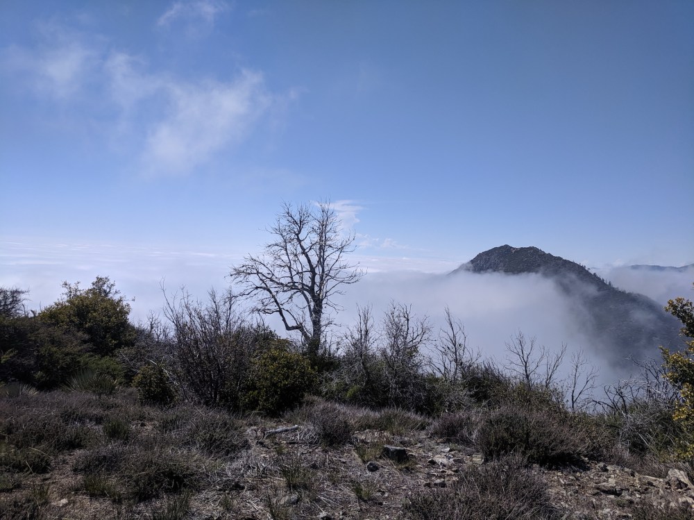
…and the Lawlor route up the ridge behind you
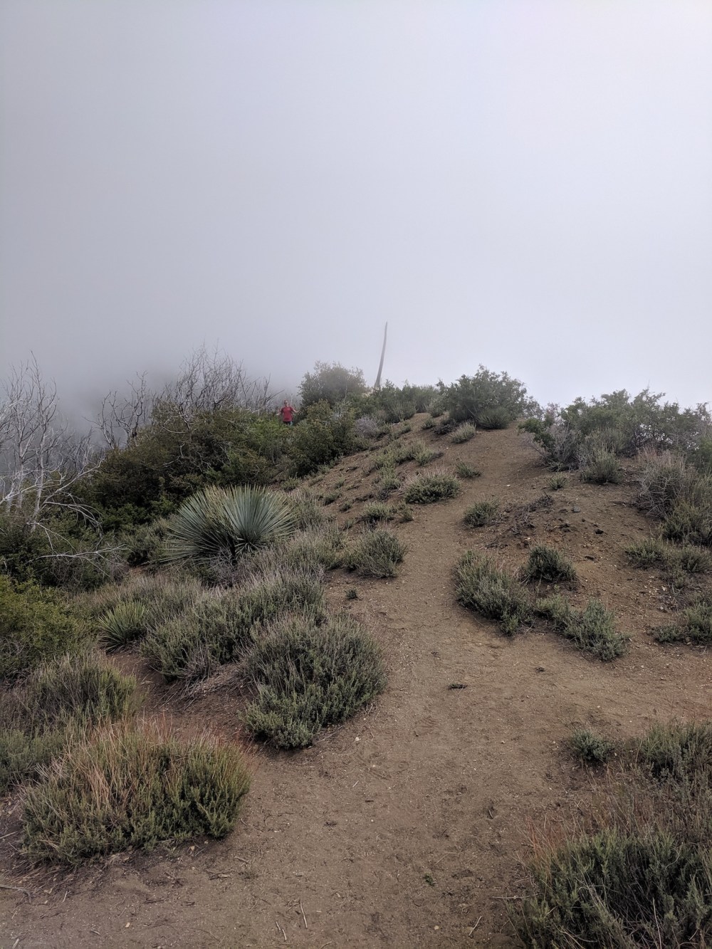
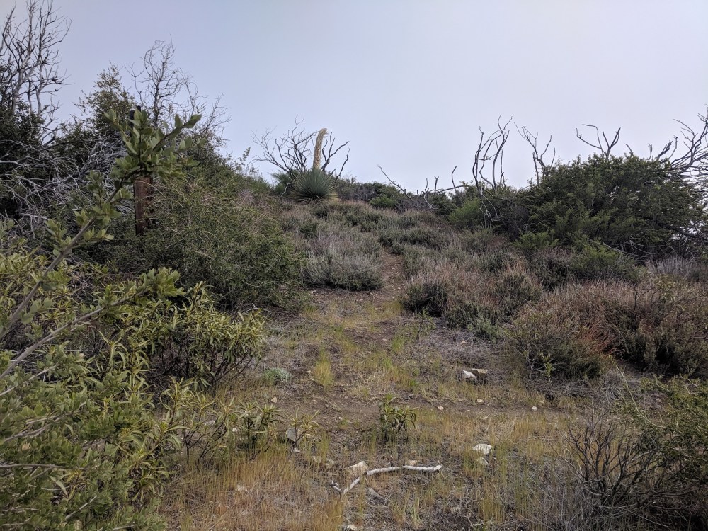
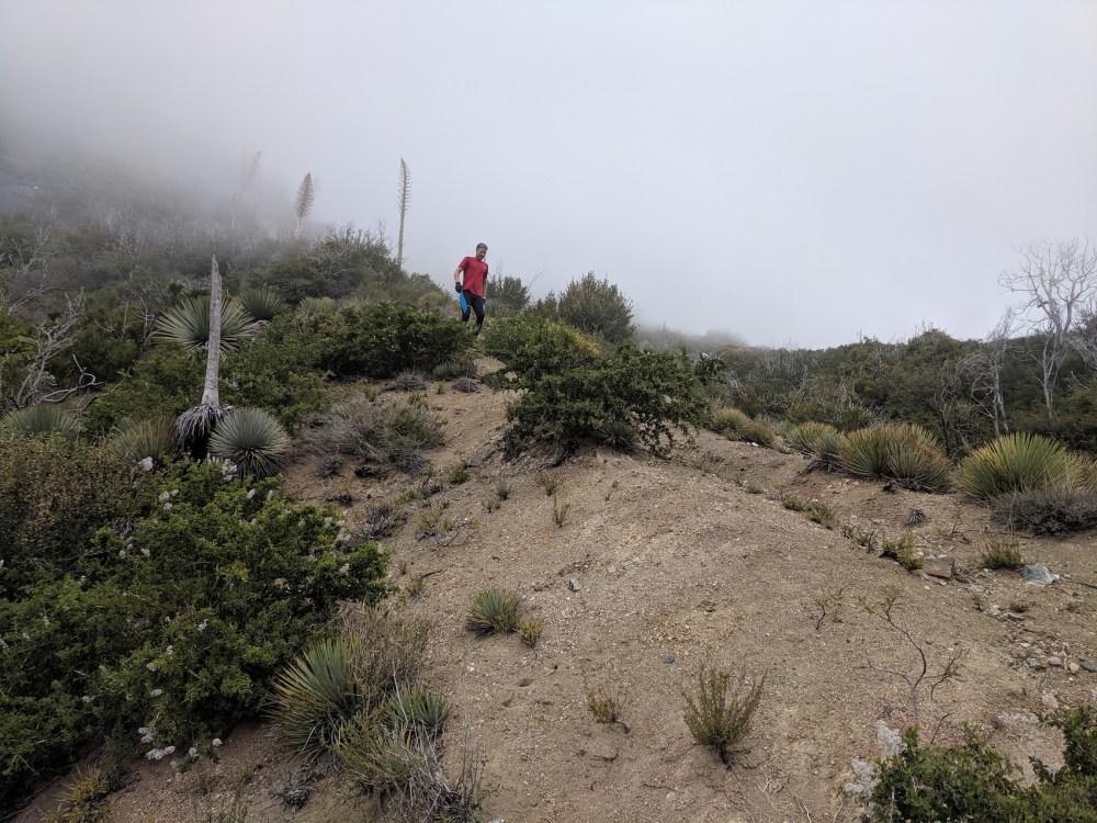
Starting to feel a bit more like a mountain
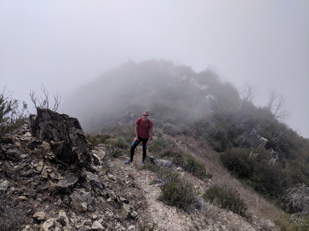
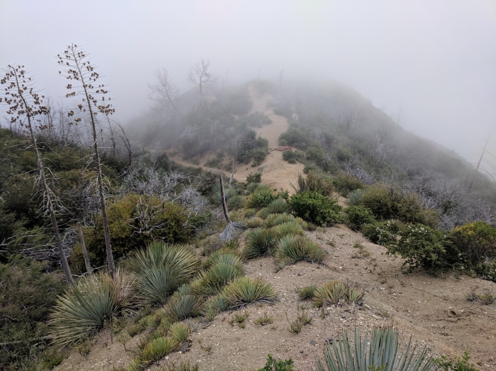
The summit in view
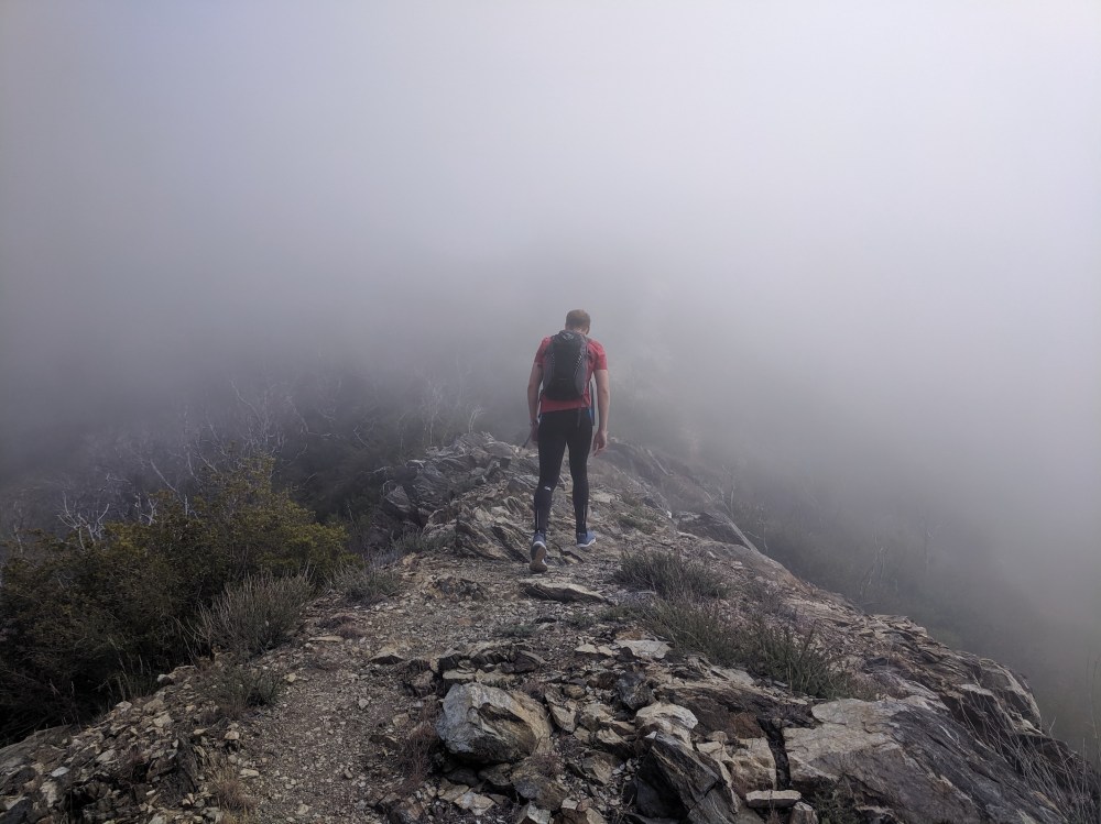
The last little stretch to the peak with Strawberry behind
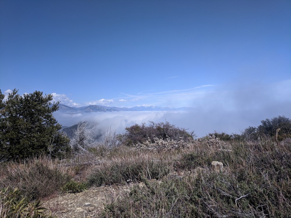
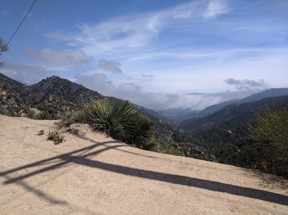
The view from our picnic: Baldy snowcapped in the distance
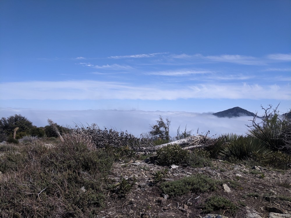
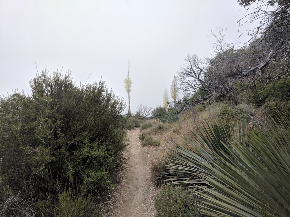
The just-visible masts of Mount Wilson
More Strawberry: definitely need to try the eastern ascent sometime soon
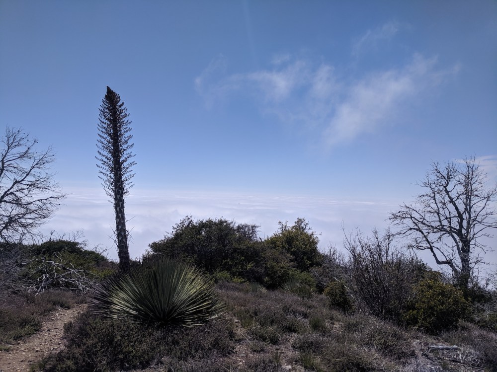
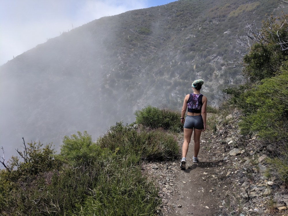
And the marine layer looking so much cuddlier than it feels from below
Don’t go this way, southeast from the top
 Go this way, branching off a few metres down along the path you came up on
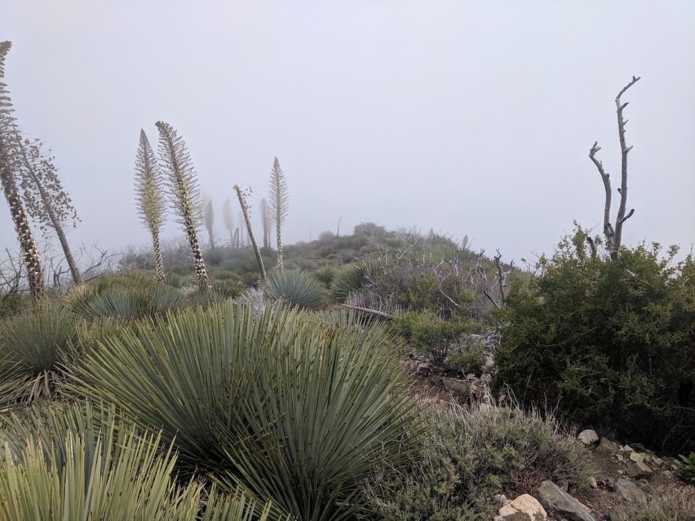
Bayonets in bloom, just before it gets steep
Handy low-lying cables pop up now and then
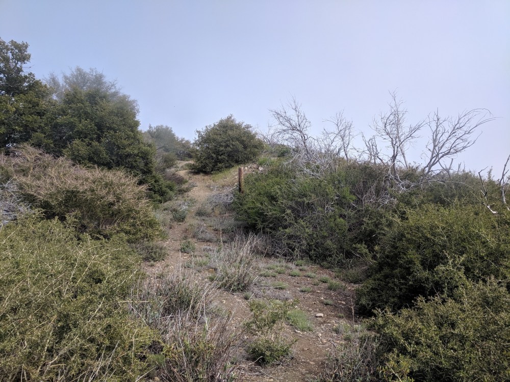
The saddle and the junction with the main trail, from above
Just before reaching the saddle
And the final stretch back down into the murk

One thought on “Mount Lawlor”