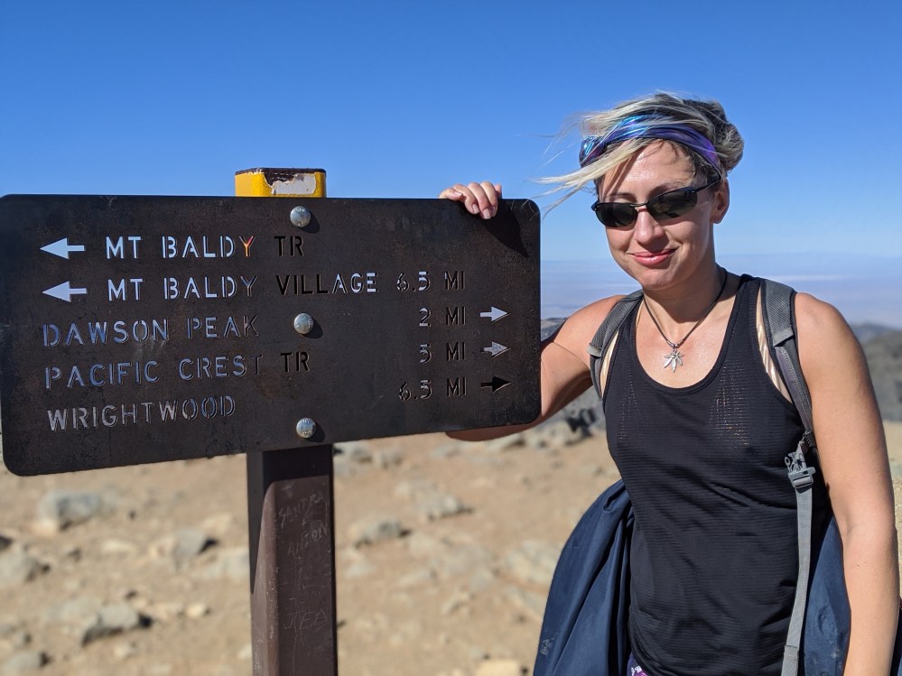
Mount Baldy via the Bear Canyon Trail
Distance: 15.5 miles (25 km) there and back
Time: 7.5 hours
Elevation gain: 5,650 feet / 1772 metres
Difficulty: terrain-wise, moderate; navigation-wise, easy; fitness-wise, difficult
Drive: 45 minutes (35 miles) from central Pasadena, east on the 210, exiting at Base Line Road for Mt Baldy Road. Park at the Visitor Center in Baldy village. (We got a spot right on the road, next to Mt Baldy Lodge.)
Hiking Guy has a description here (though he calculates the total distance as 13 miles (21 km); not sure where the discrepancy comes from)
With this hike we ended our three years of San Gabriels exploration, starting in the autumn of 2016 and ending in the autumn of 2019. It was a spectacular finale. This is the less travelled way to climb Mount San Antonio (aka Baldy), the highest mountain in the range. Despite being steeper than the usual route via the Devil’s Backbone, it’s also longer, because you start down in Baldy village instead of 4 miles up the road at Manker Flats. Don’t let these facts put you off, though. It’s beautiful. And it’s less steep (though also a bit longer-feeling) than we expected. If you’re up for a full-day San Gabriels adventure, this would be hard to beat.
From the Visitor Center, walk a few metres down the road and take a right on Bear Canyon Lane, passing the church to continue down a long lane lined with increasingly chalet-like houses, until the tarmac gives out and a sign (0.4 miles / 0.7 km from the start) marks the beginning of the trail proper.
The trail climbs gently through trees before heading east a little and coming out into views of the San Antonio Canyon; we stopped after 1.2 miles (1.9 km, half an hour) for a breakfast picnic. Soon you head back into trees, and after 1.9 miles (3 km), about 50 minutes in, you get to Bear Flats, which is barely a singular flat, let alone a plural: just a small not-level clearing with a scrubby oak in the middle.
The trail turns left (west) and crosses a stream just after Bear Flats, and skirts what Hiking Guy generously calls a meadow, and is in fact a small triangle of dried-out scrub. Then you cross another stream bed, and then the proper ascent starts. The trail zigzags up the western slope of the bowl through head-height manzanita, with views opening out of Baldy’s easterly neighbours to the north and the LA basin to the south. Soon the shrubbery gives way to pines, and for us there was a brief windy patch on a north-facing slope before the path switched over to the south side. After 1 hour 40 minutes, 3.4 miles (5.5 km) in, we stopped to drink a Coke on some accommodating tree roots. Then the next section is a moderate gradient dotted with pines and some impressive boulders, and changing views to north and south as you steadily gain height.
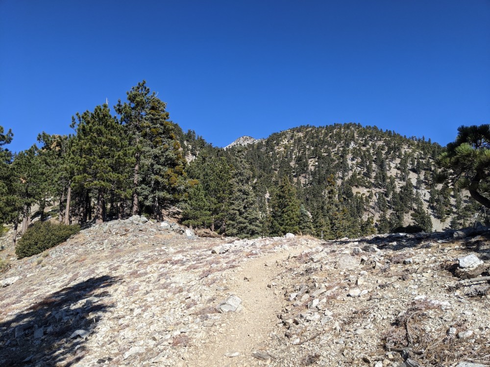
After a steep section from about 5.5 to 6 miles (8.9-9.5 km), you reach the treeline for this slope, and the path opens up across ‘the Narrows’: this is much less long and narrow than the Devil’s Backbone up the southeastern flank, but still a nicely striking bit of the route. Then the path weaves through a higher patch of light woodland that stretches almost up to the summit. The first part of this stretch is flatter; the later part is a bit steeper again, with some sections a bit loose underfoot. We got a bit frustrated when we reached a mini saddle to find two whole ridges still left to climb, especially since my Fitbit was saying we’d already come further than the total distance we’d expected to the summit.
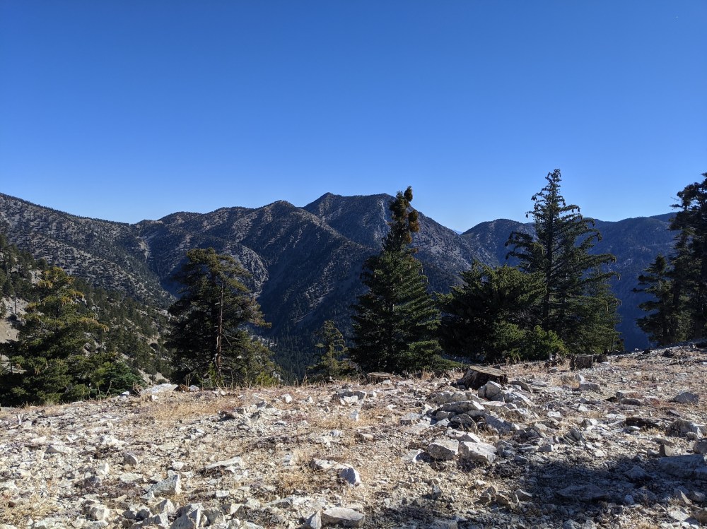
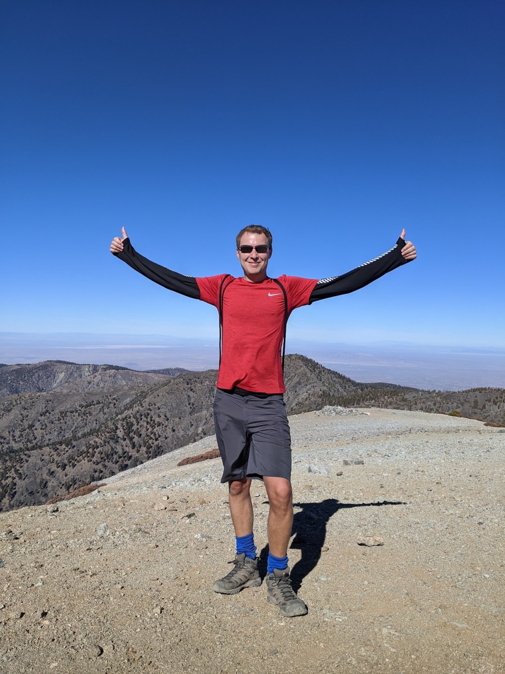
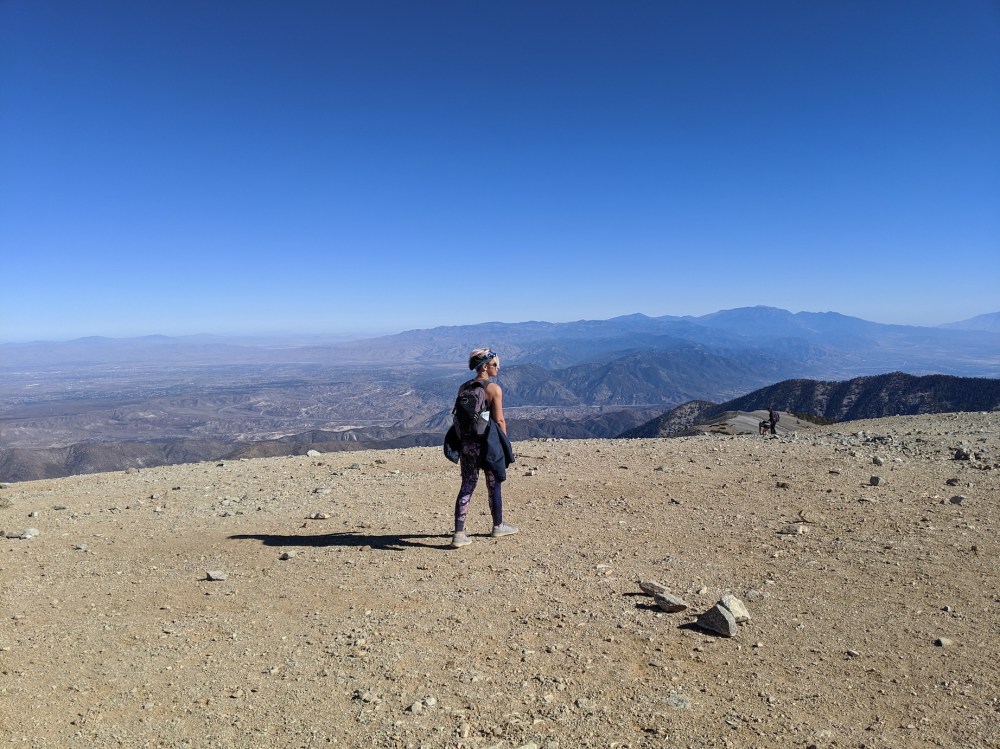
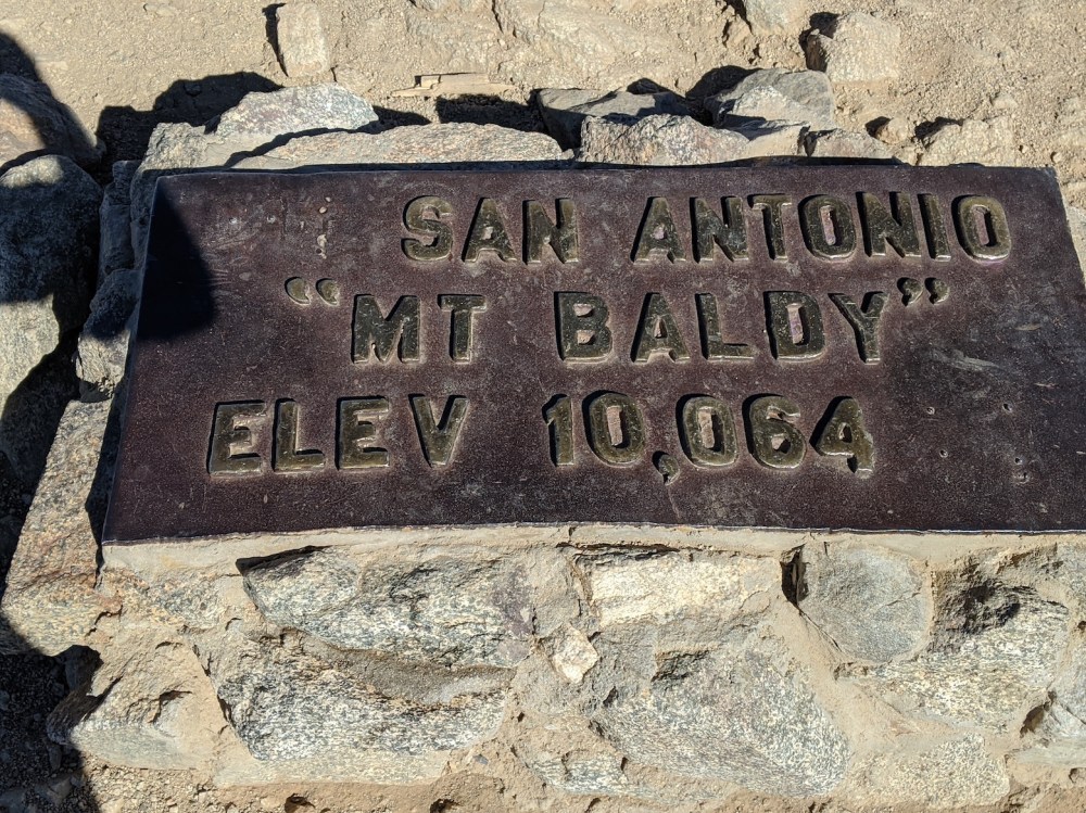
But the remainder of the forested stretch passes fairly quickly, and finally (by our calculations, 7.5 miles (12.1 km) and 3 hours from the Visitor Center) you come out at what may or may not be called Baldy Saddle: the dip between the main and west peaks of San Antonio. After a quick swig of water a few metres off the path, looking out over the Mojave plains to the north, we carried on 10 minutes or so up to the main peak (at 7.9 miles / 12.75 km), but didn’t stay there long, given the unappealing mixture of strong cold winds and many pockets of photo-taking people. We retraced our steps to an outcropping just above the saddle and had our lunch there, agreeing that we should have ignored the main peak and finished with Baldy West instead. Next time!
The way down passed unsurprisingly quickly: 90 minutes got us back to the Coca-Cola tree, 2 and a quarter hours to Bear Flats, 2 and a half to our breakfast spot, and in 7 hours 20 minutes we were back to the car.
We had a little bit of an adventure en route, though. Quite near the top we met a group of four men coming up whom we’d passed as they came down from the summit earlier. They’d taken the Baldy trail instead of the ski hut trail by mistake, and were heading back to the top to start again. They asked us our advice, and we suggested they just carry on down the same way as us, offering to give them a lift back to their car at Manker Flats. They agreed, and we said we’d wait for them if we were quicker. It turned out we were over an hour quicker, and when the first two of them arrived, they were worried about one of the others, who had a bad knee. It was almost dark, and once their car had been retrieved it wasn’t clear what to do, and rumours were spreading about how if an LA resident gets lost in San Bernadino County it costs 10 grand to rescue them. Then James spotted a woman with a head torch whom we’d seen earlier taking her dogs for a serious walk; she said she’d seen the others, and quite soon after they appeared, looking quite shaken but in one piece. No one had to pay $10k for anything, and we gave them the name of the Tom Harrison map so they could avoid the same mistake next time. It was an interesting case of no-right-answer: if they’d made it in time for the ski lift down, they probably would have done better the other way, even with the extra climb back up to the top. But that route is more treacherous, and without the lift also longer, and the westerly one has the benefit of no decision points. So maybe we gave them bad advice, maybe not. Anyway, the main upside for us was being forced to do what we hadn’t done a single time in our whole SoCal hiking career: stop at a mountain establishment for refreshments. We enjoyed our tea and beer, and even bought James a long-sleeved T-shirt to commemorate the day, and these three years.
Maybe we’ll manage a little Boxing Day wander when I’m back to help James clear out the apartment and set off on our road trip to New York City and James’s new job—but if we do, it’ll be nothing on this scale. These years have ended well, with the clearest views of the Pacific we’ve ever seen: even the dark outlines of the tankers at bay outside Long Beach were perfectly clear (though they don’t come out in the pictures), and downtown was a cluster of human hubris in an unassuming sun-drenched city, and Wilson beckoned whitely from the other end of the front range, and the disappointments of walking round its forested slopes last weekend were entirely erased.
San Gabriels, we’ll miss you.
First stretch up through boring trees.
20 minutes in, views starting to open up.
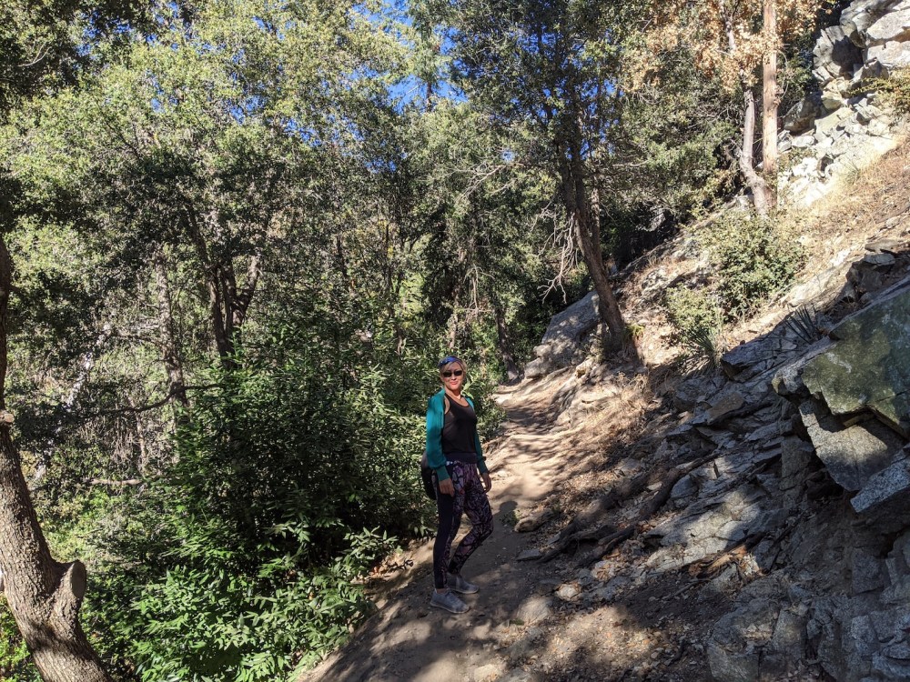
Breakfast.
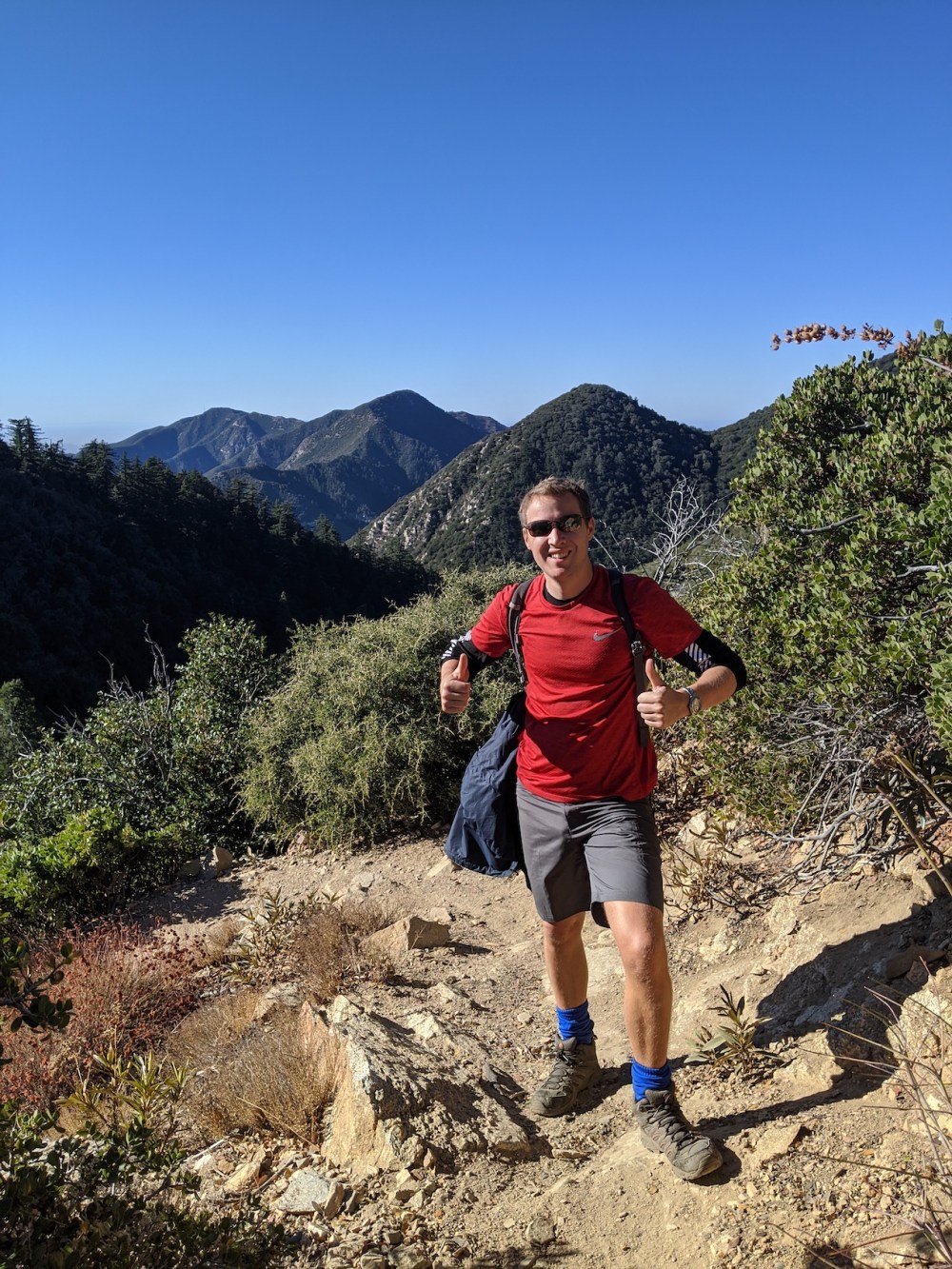
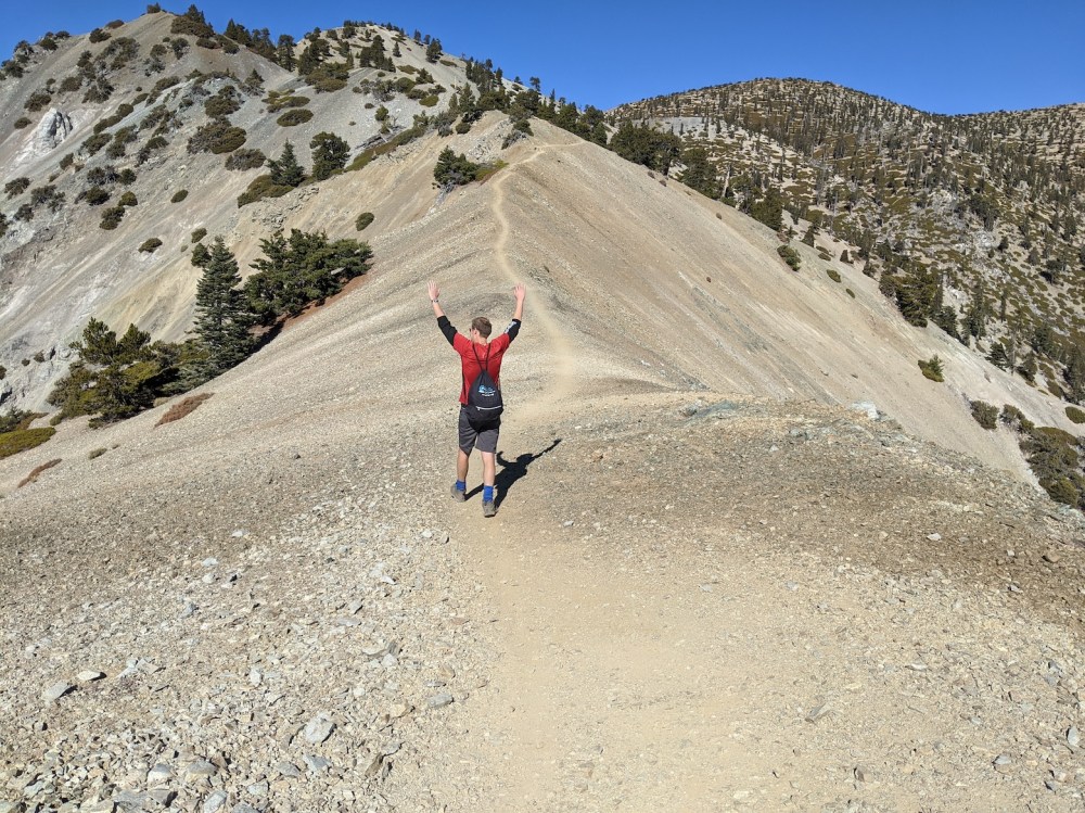
Setting off reinvigorated.
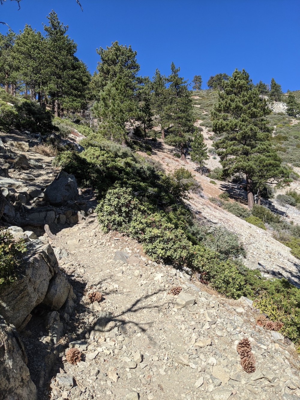
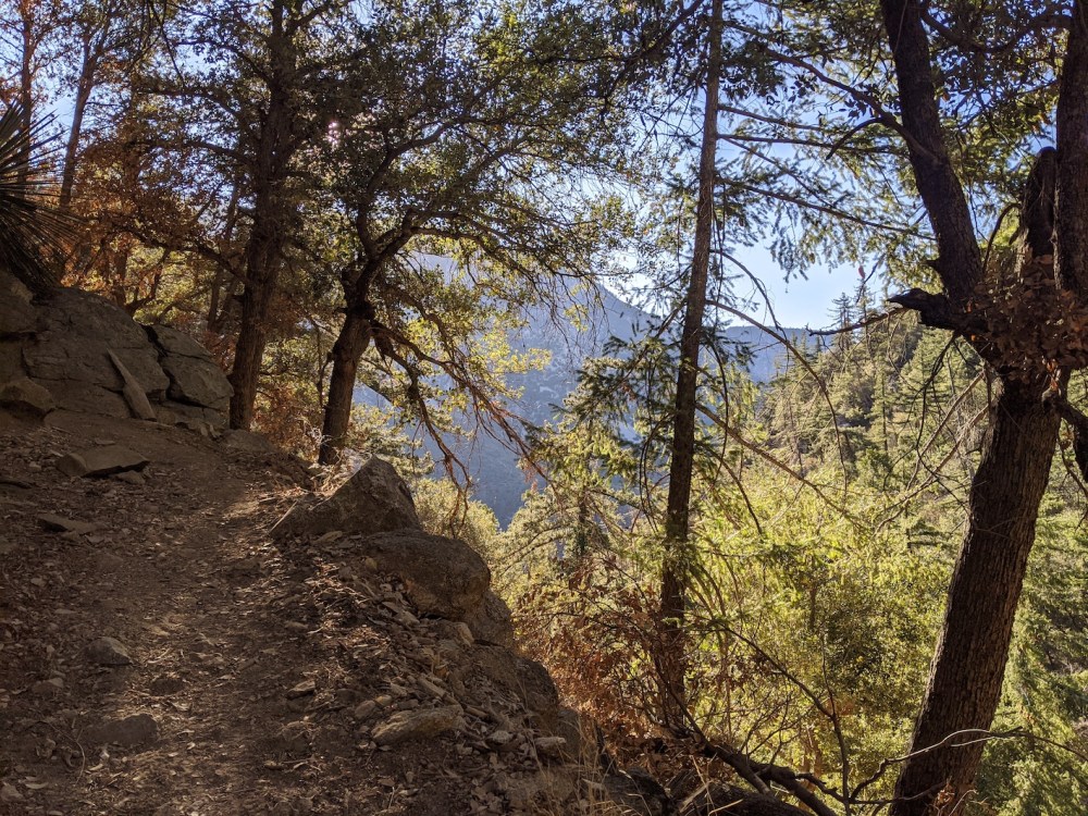
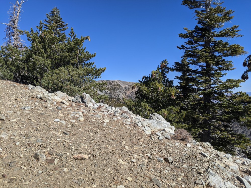
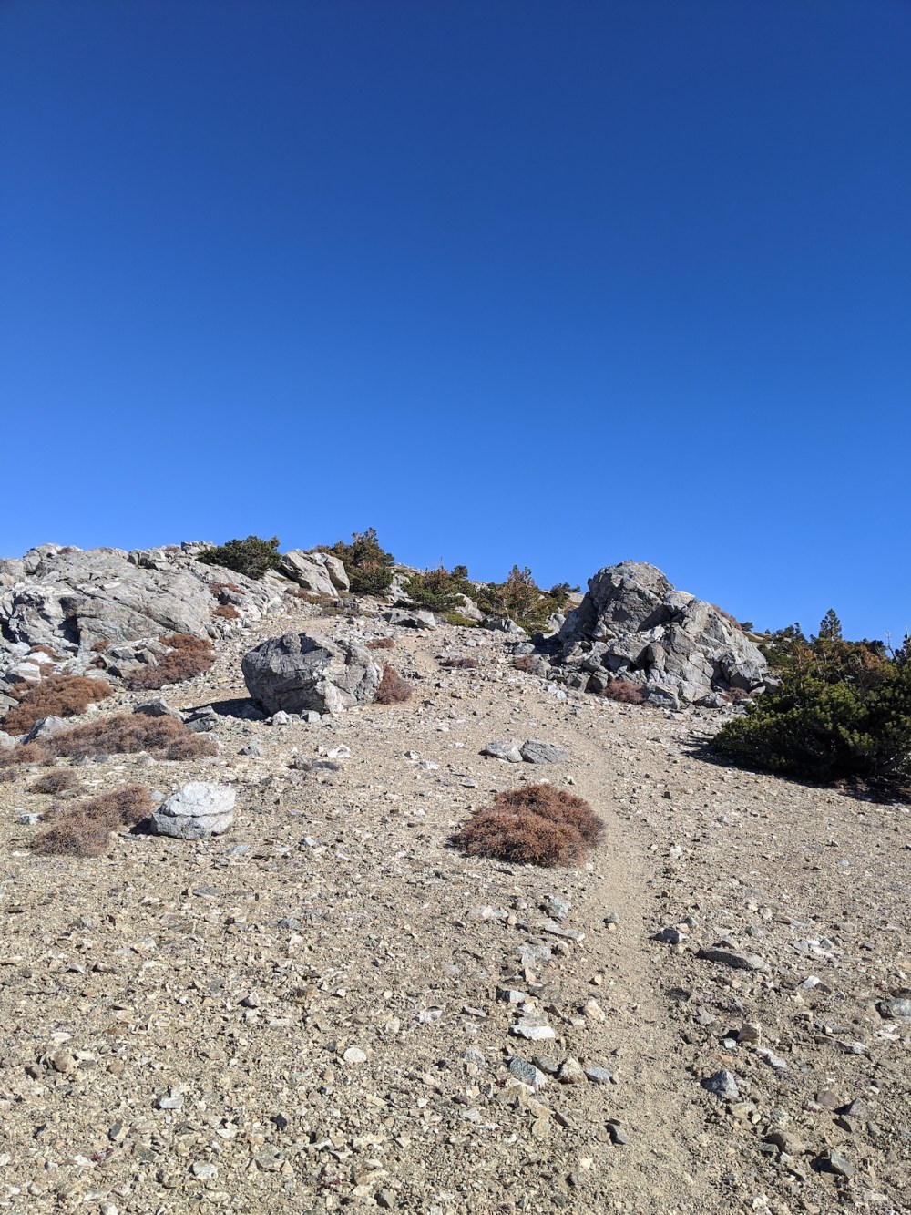
Crossing the pine line.
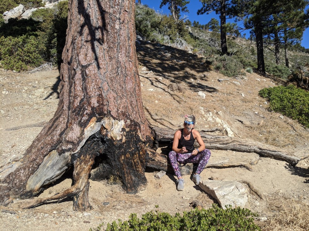
The accommodating roots of the Coca-Cola tree.
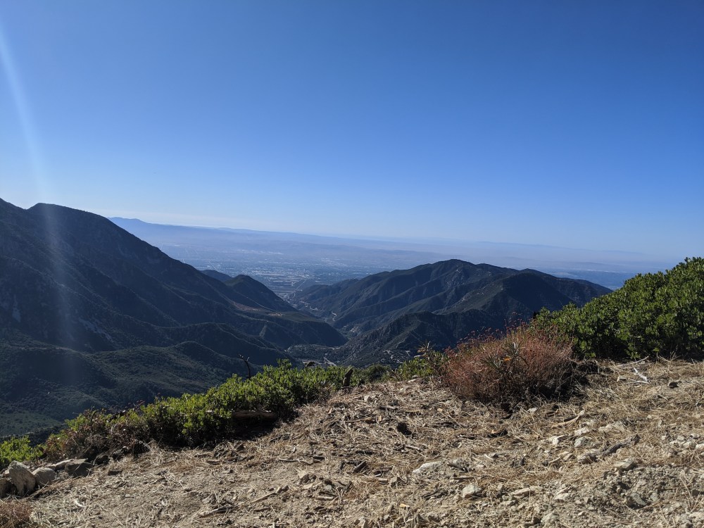
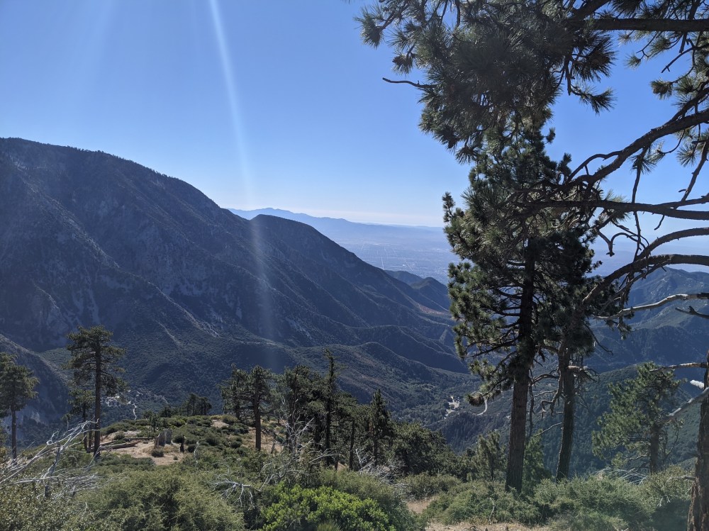
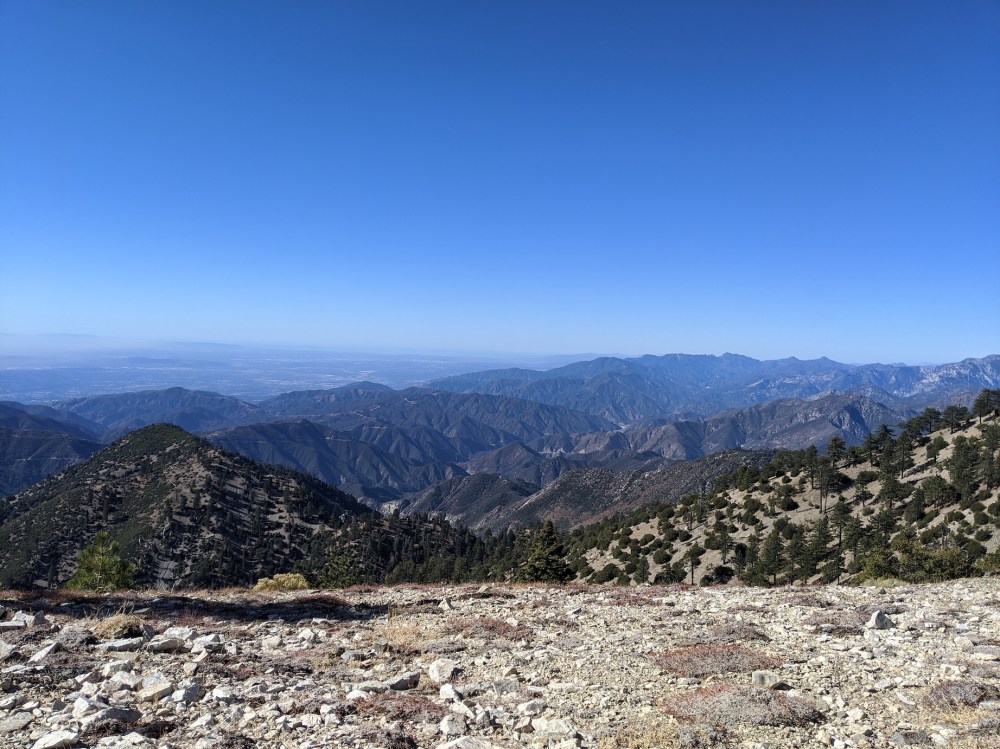
From just over two hours in, views south along the Mt Baldy Road, with the San Bernadinos in the distance…
…west over the front range…
…and southwest towards downtown…
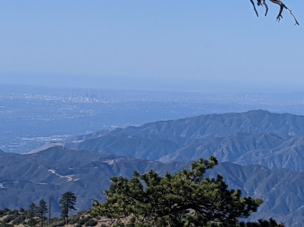
…and again, zooming in on the skyscrapers.
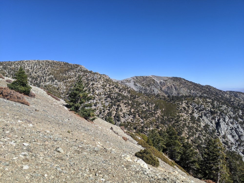
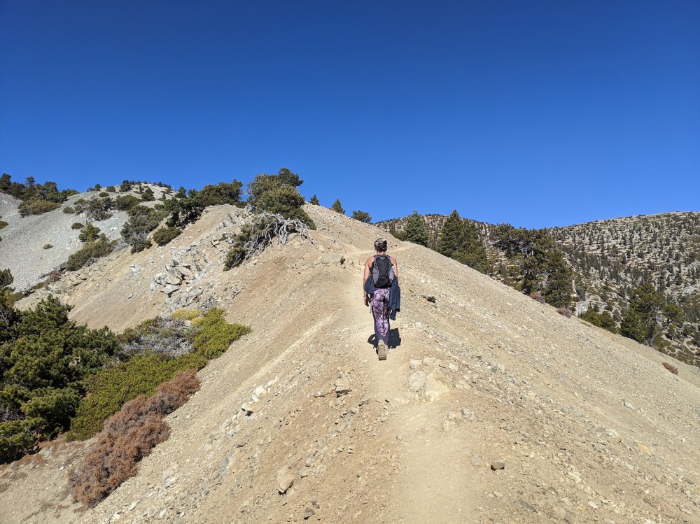
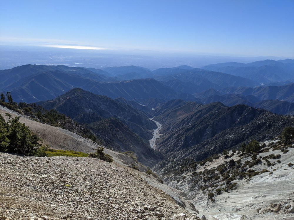
The way you’ve just come.
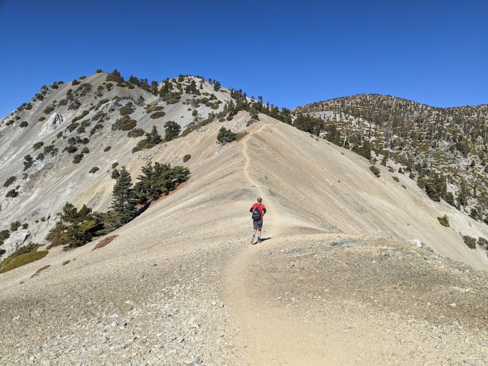
And the way ahead.
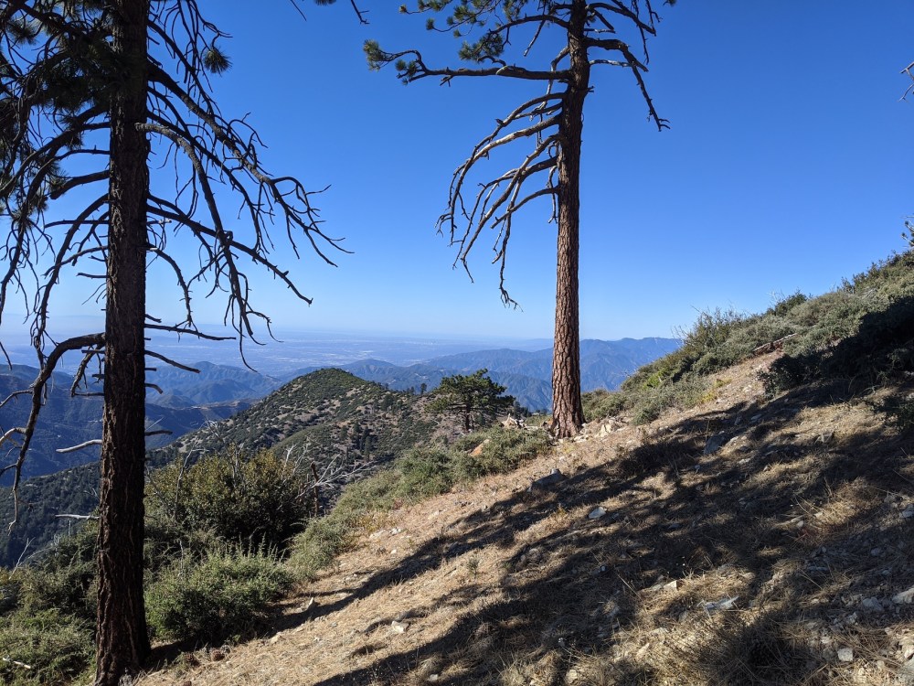
Another 20 minutes, and lots more elevation over the San Fernando Valley.
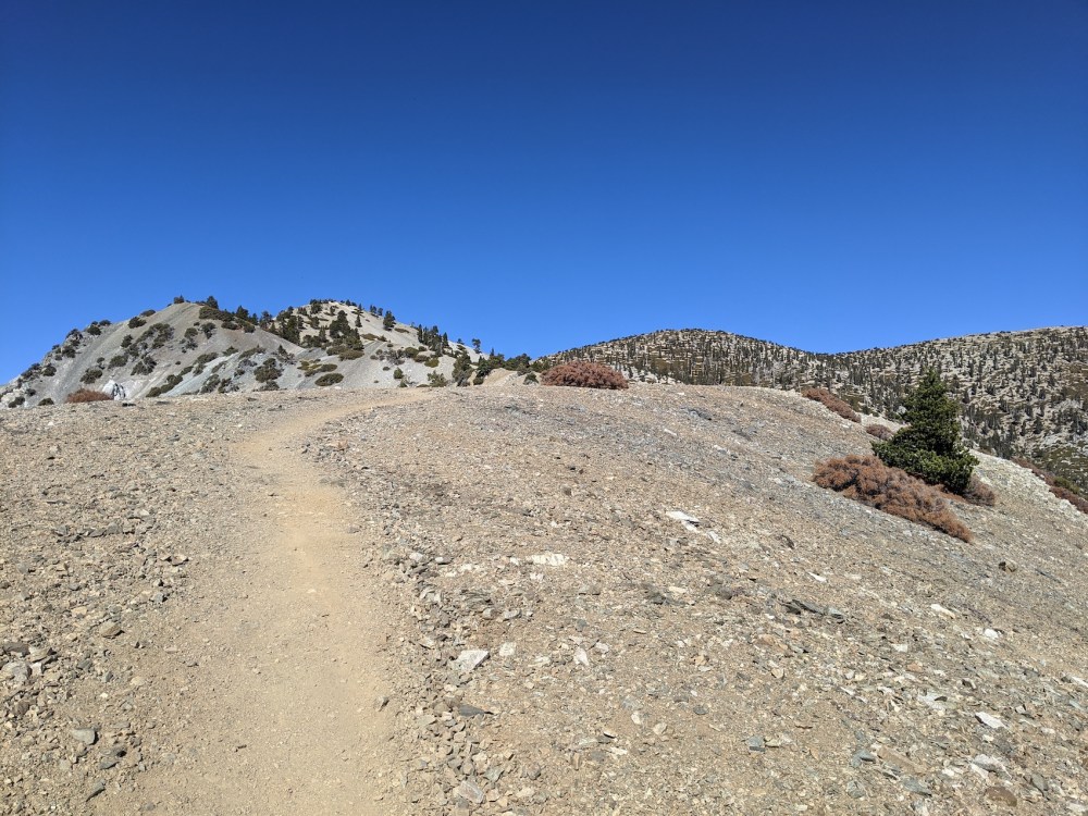
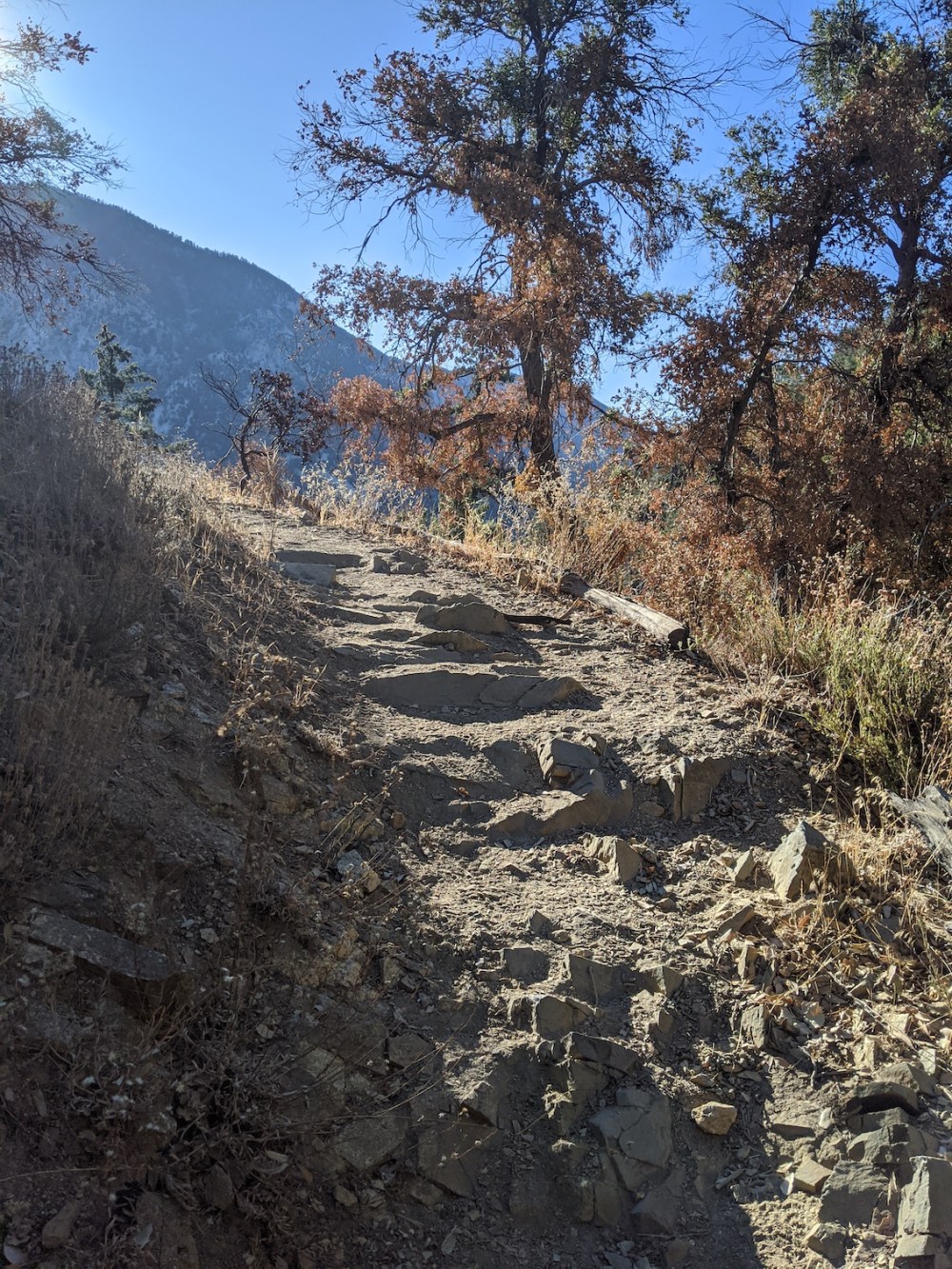
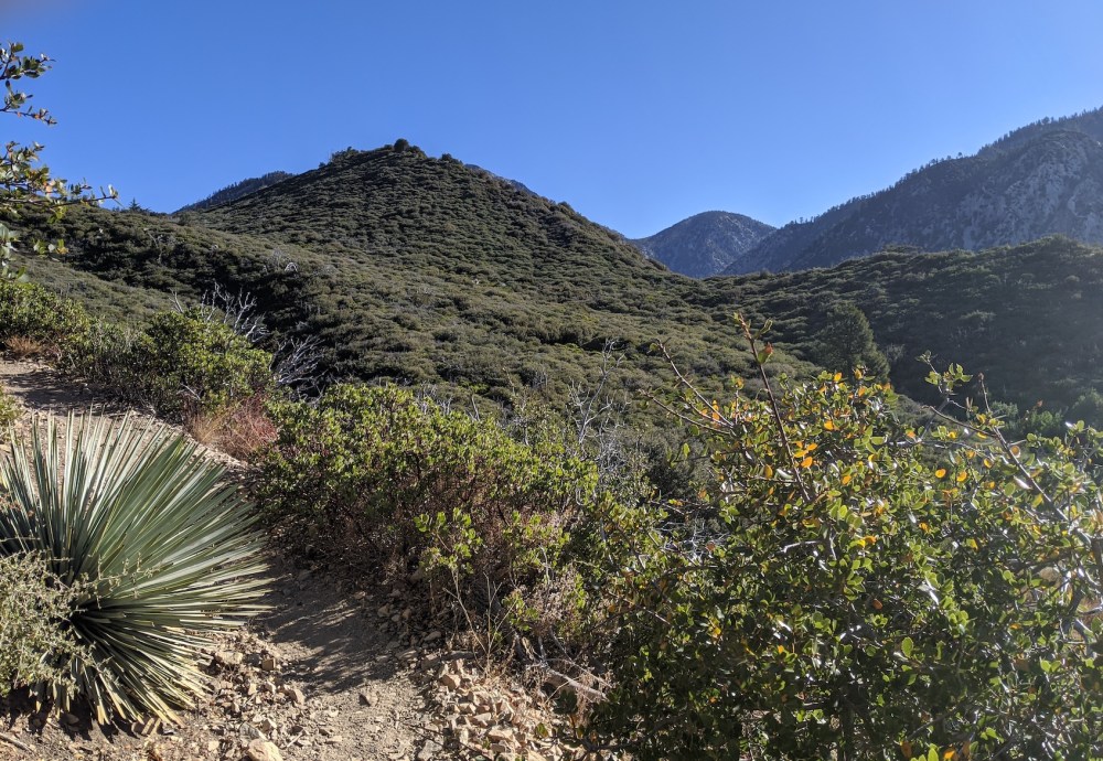
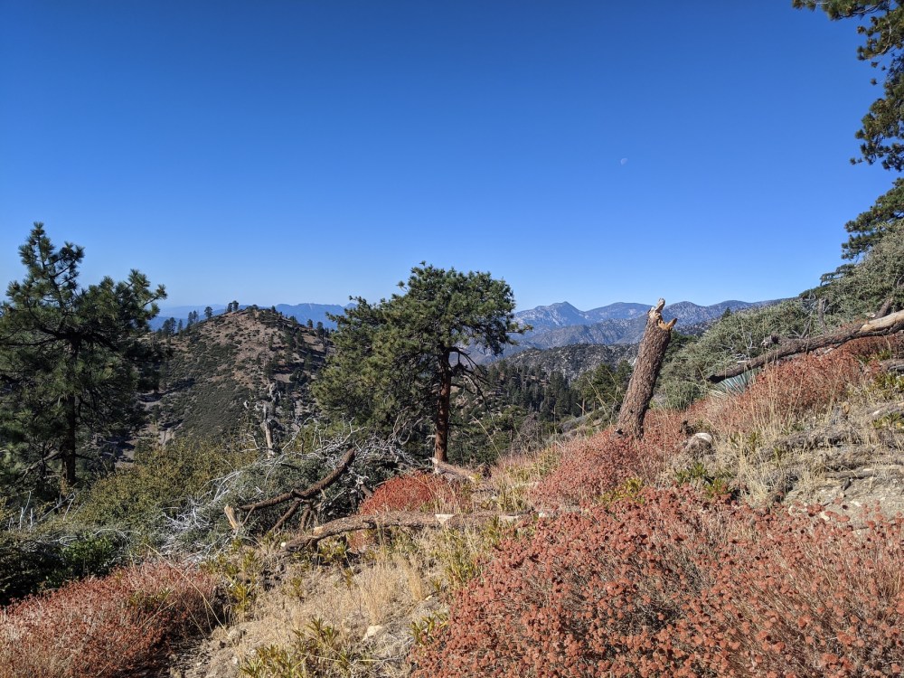
50 minutes more, and things are starting to look distinctly balder.
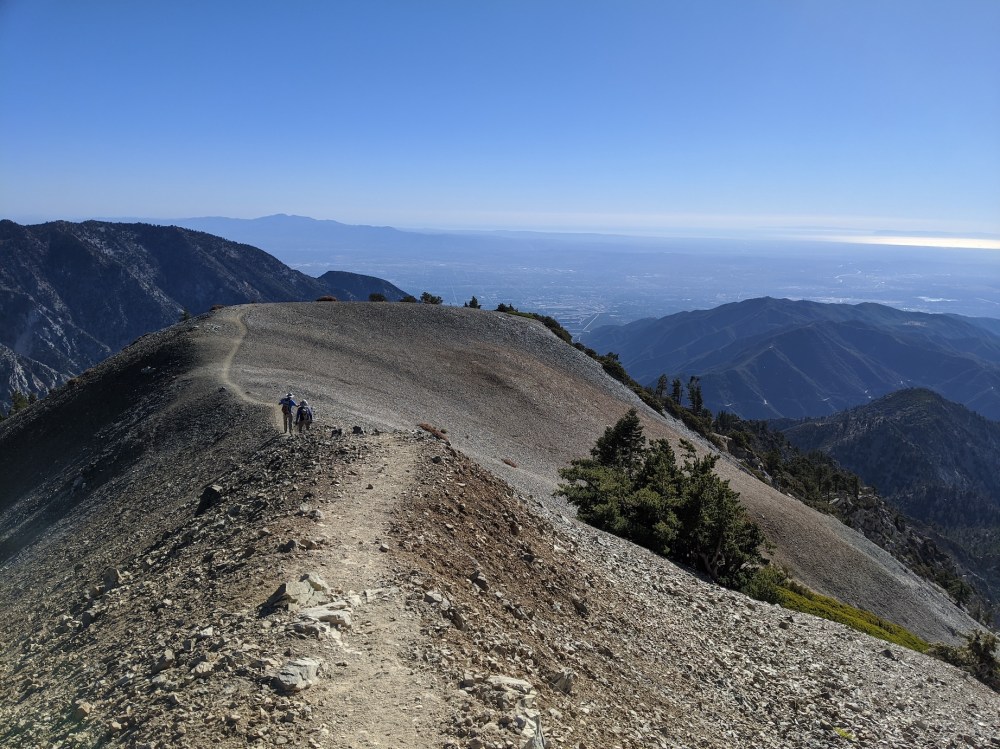
Crossing the Narrows.
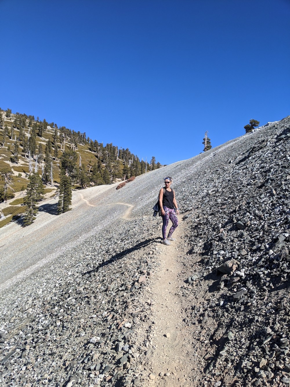
A short west-facing stretch of scree.
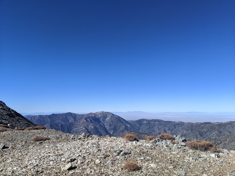
The Mojave from the saddle.
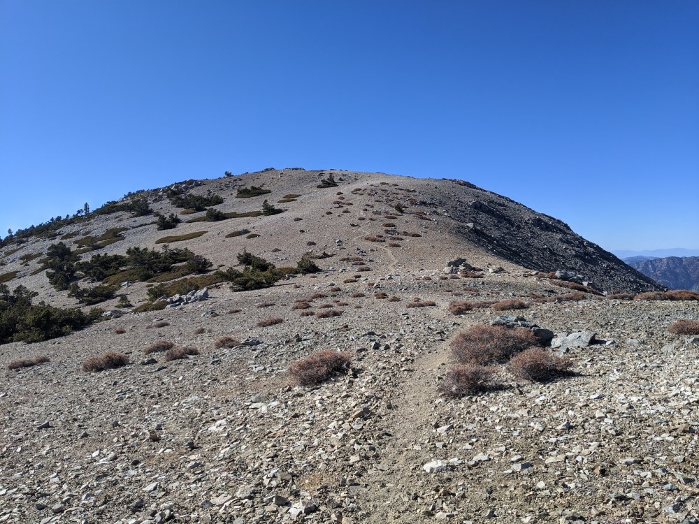
The untrodden path up to Baldy West. (For next time.)
And the final stretch east up to the main summit.
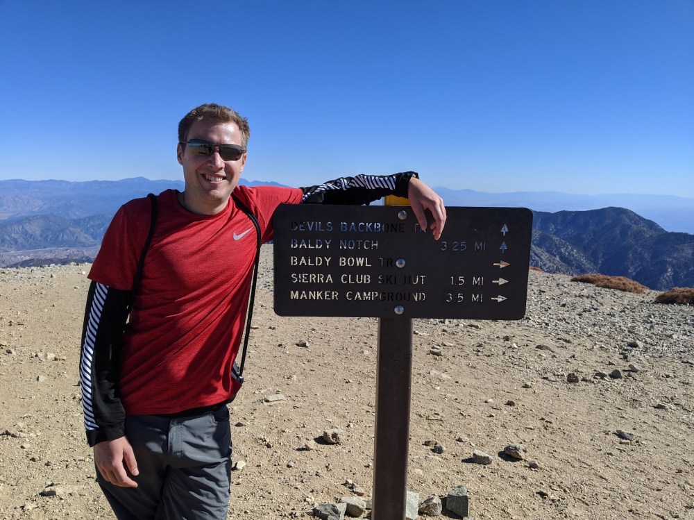
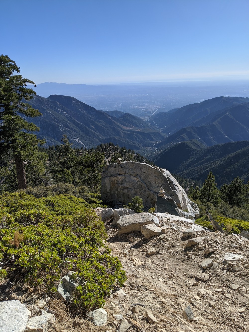
Directions to the more popular Devil’s Backbone route.
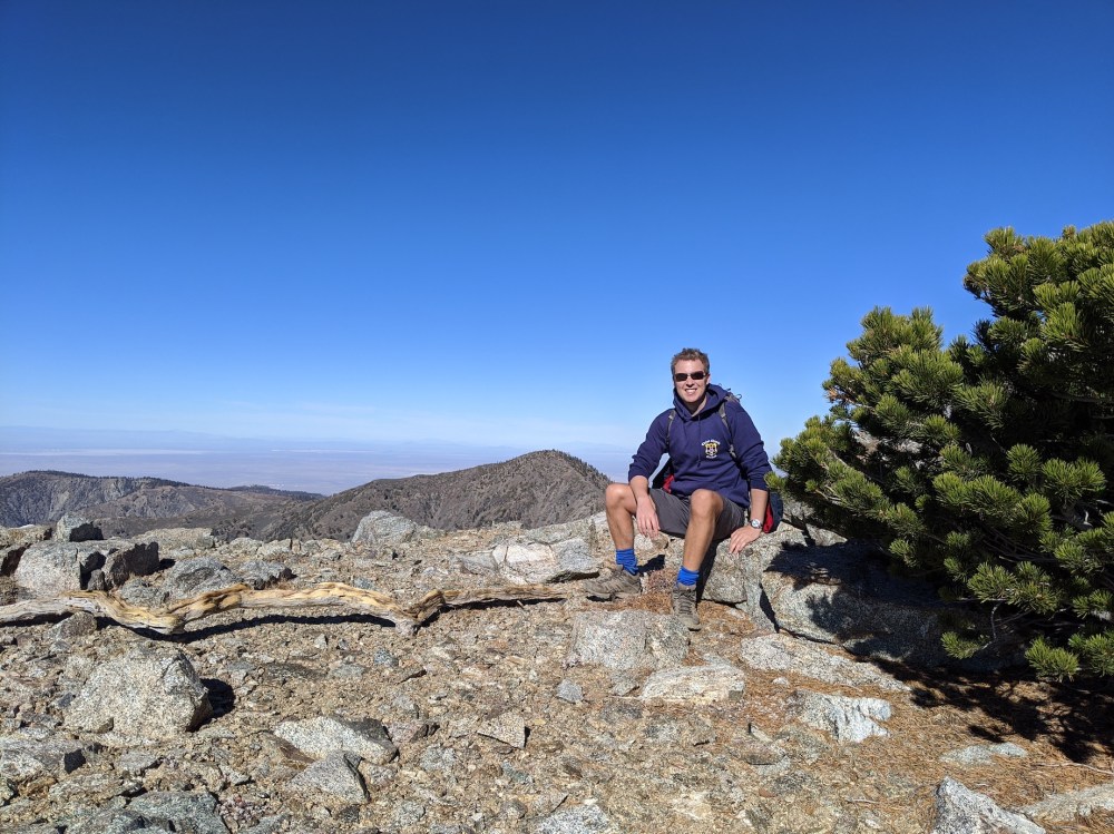
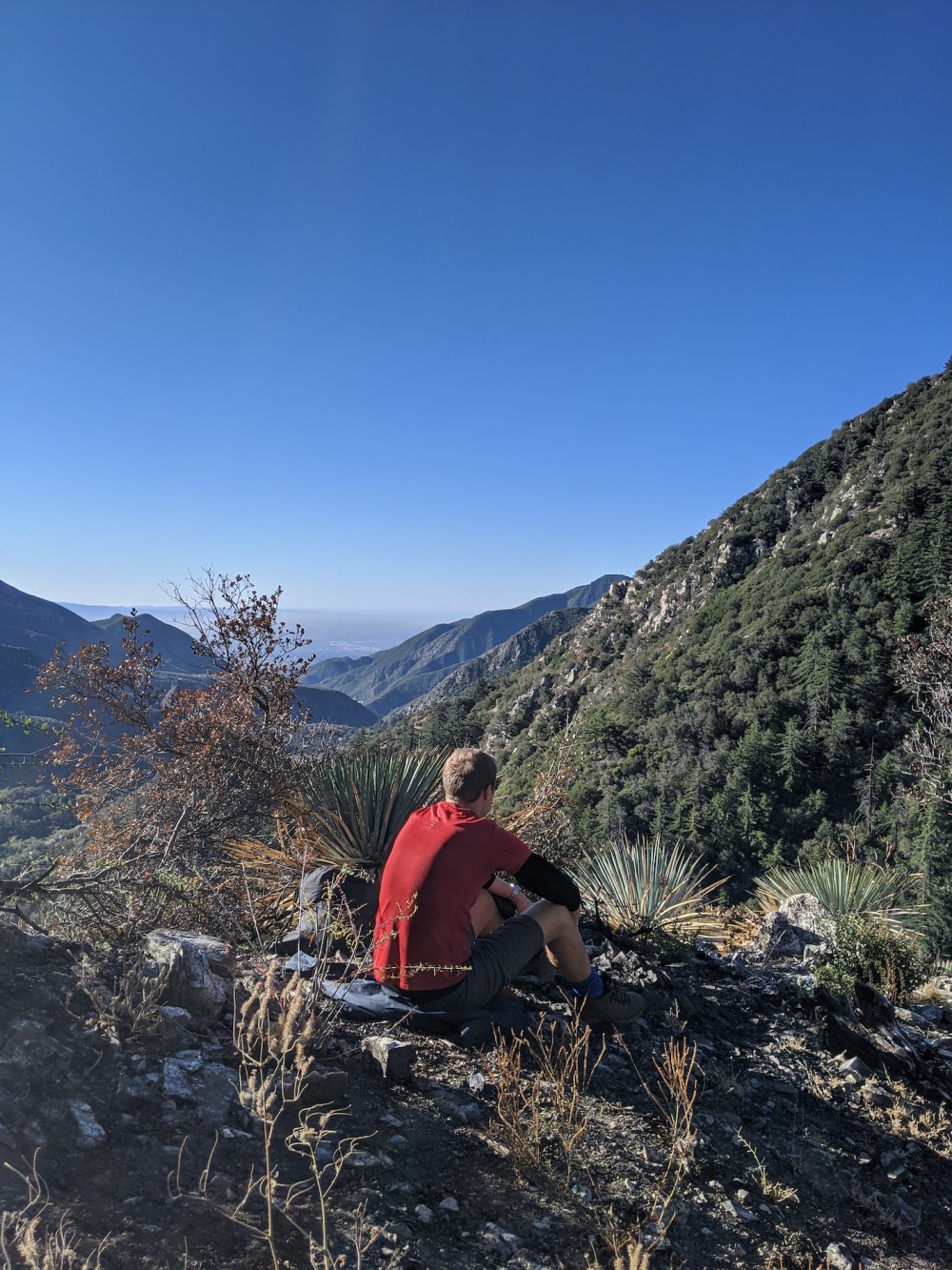
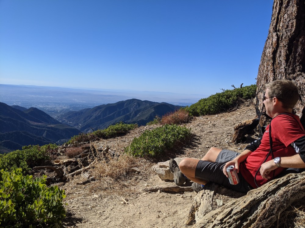
Our lunch spot.
Homeward bound in the sun lowering over the Pacific.
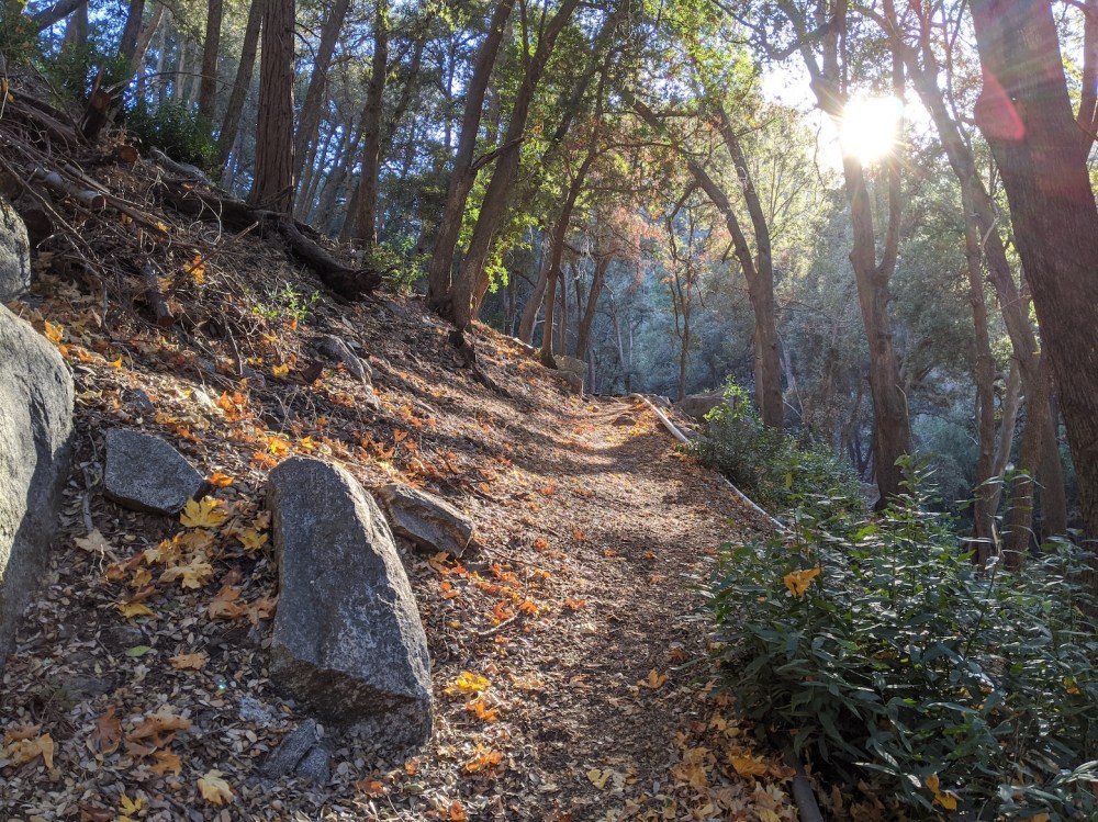
The autumn evening making the final forest leg more picturesque.
