Distance: about 9.5 miles (15 km)
Time: 3 hours 45 minutes including short stops
Elevation gain: possibly around 2,700 feet (823 metres), but not sure
Difficulty: terrain-wise, easy; navigation-wise, easy; fitness-wise, moderate
Drive: 45 minutes (25 miles) from central Pasadena, via the 210, the 2, and the Mount Wilson Red Box Road from the Red Box junction
This hike is crap. Unless you like frustrating viewless dingy scrub woodland followed by a few tantalising glimpses of the LA valley, followed by an implausibly long and tedious climb back to your starting point, don’t do this hike.
We decided on it in the naïve assumption that a pretty ridge “path” we’d seen from Echo Rock on another visit to the Wilson Observatory site was indeed a path, and that specifically it was the Rim Trail. But it isn’t. The Rim Trail is rubbish. It makes up the first third of this route, starting from the middle of the observatory site and curving round the back of it, taking a long time to get to any views into the valley to the east, and then almost immediately losing them by dipping down a few hairpins to run along a long boring north-facing wooded slope.
The map says 3 miles (5 km) for this leg to Newcomb Pass, but my FitBit made it 3.7 (6 km), and it felt like about 5. We stopped after 2.7 miles / 4.3 km (and exactly an hour) for a quick picnic on one of the misleading outcroppings we’d seen before and mistaken for the trail, and that was our last sunshine for the day.
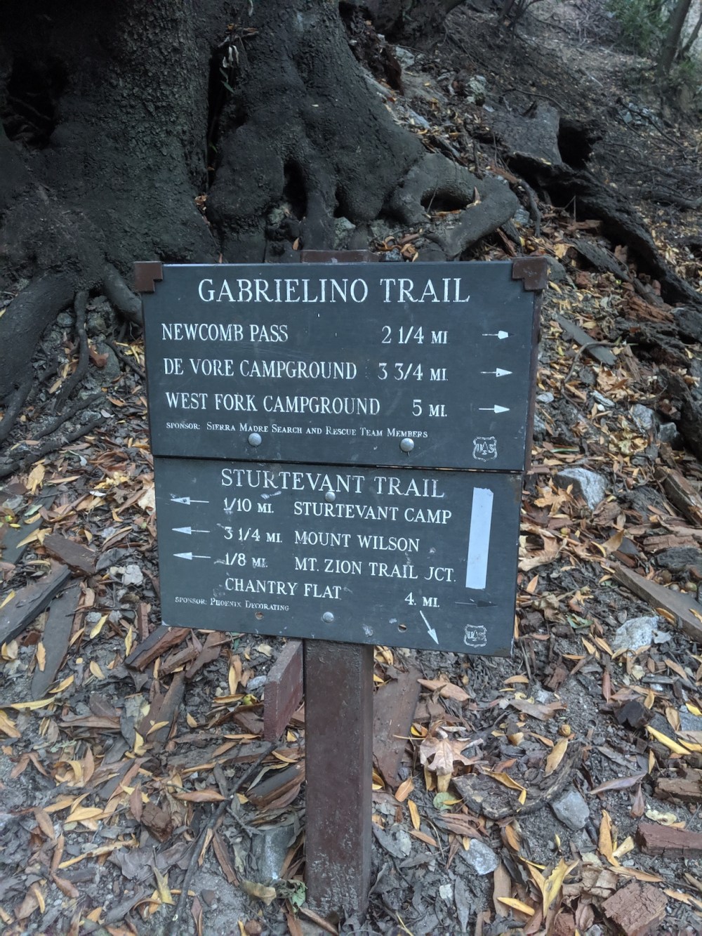
From Newcomb Pass, you’re onto the second third, the roughly 2.5-mile/4km section of the Gabrileño (/Gabrielino? everyone seems to spell it differently) trail down to Sturtevant Camp. This is the only bit with anything going for it, but the non-shit bits are measured in single-digit metres: moments when the dense shrubbery gives way and you remember you are still in LA. For us, this was also the last glimpse of the lowering sun, and then by the time you’re on the last half-mile down to the camp, you’re in mature forest with its reliable gloom.
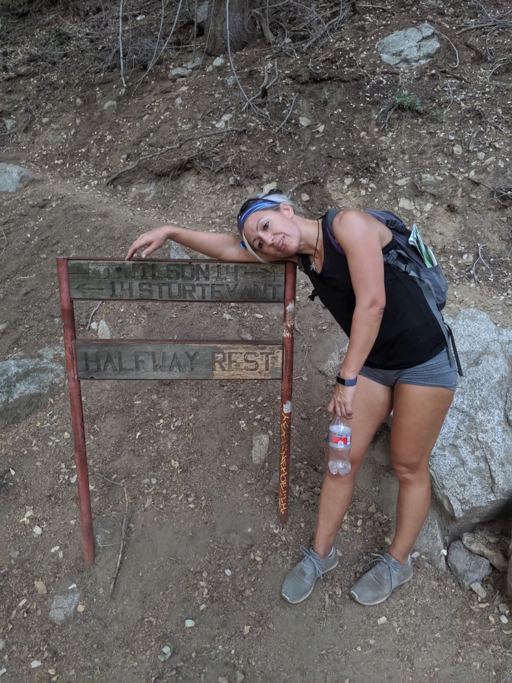
At 5.7ish miles or 9.2 km (and an hour after our lunch stop), turn west onto the Sturtevant trail to start the 3.5-mile/5.6km slog back up to Wilson. By the halfway point, kindly marked by an encouraging sign, the occasional view east over to Baldy (pink sunset-lit for us) opens up between the pines, and the southerly tips of the hairpins give you the occasional glimpse down over LA, but these are miserly rewards for the amount of altitude you’re boringly gaining. Implausibly many switchbacks later, you finally come out at Echo Rock lookout point, and then the main observatory site is just round the corner.
To appreciate Mount Wilson’s wonders, you have many options: 1) amble round the observatories and the museum exhibits, learning just how important this place has been in the history of astronomy, i.e. the history of humans’ grasp on their place in the universe; 2) come up for a viewing evening or a concert (these remain on our to-do list); 3) appreciate the reminder, from Pasadena or further into the city, that not everything humans build is at odds with its setting; 4) use its gleaming white globes as a reference point for orientating yourself anywhere in the front range of the San Gabriels; 5) let the white beacons be your welcome or your goodbye as you fly into or out of LAX on a clear day.
But whatever you do, don’t waste a hike on its north or east sides.
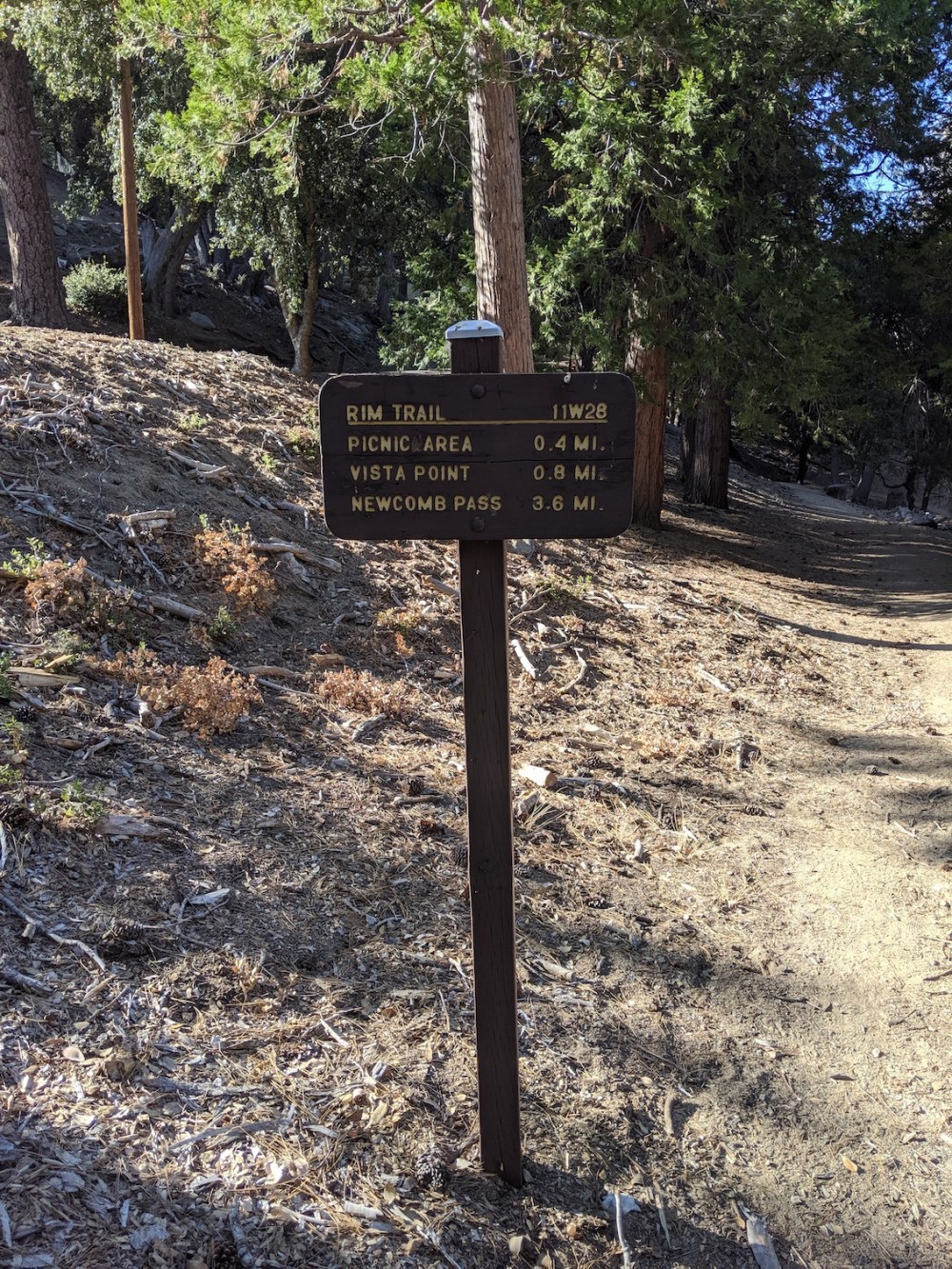
The sign marking the start of the Rim Trail.
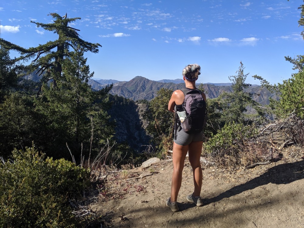
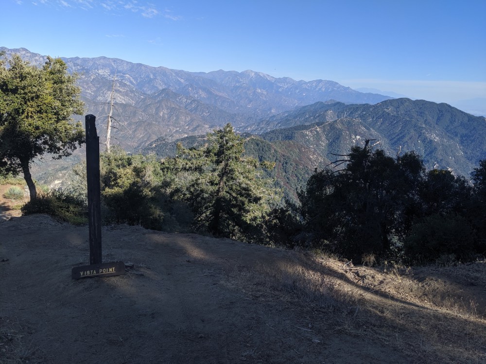
Nice lookout point 15 minutes in.
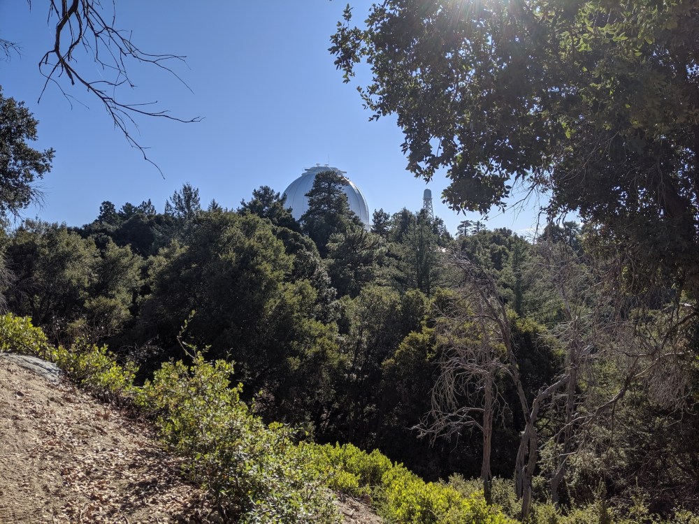
An observatory dome being coy.
What we thought was the Rim Trail snaking down the wooded ridge.
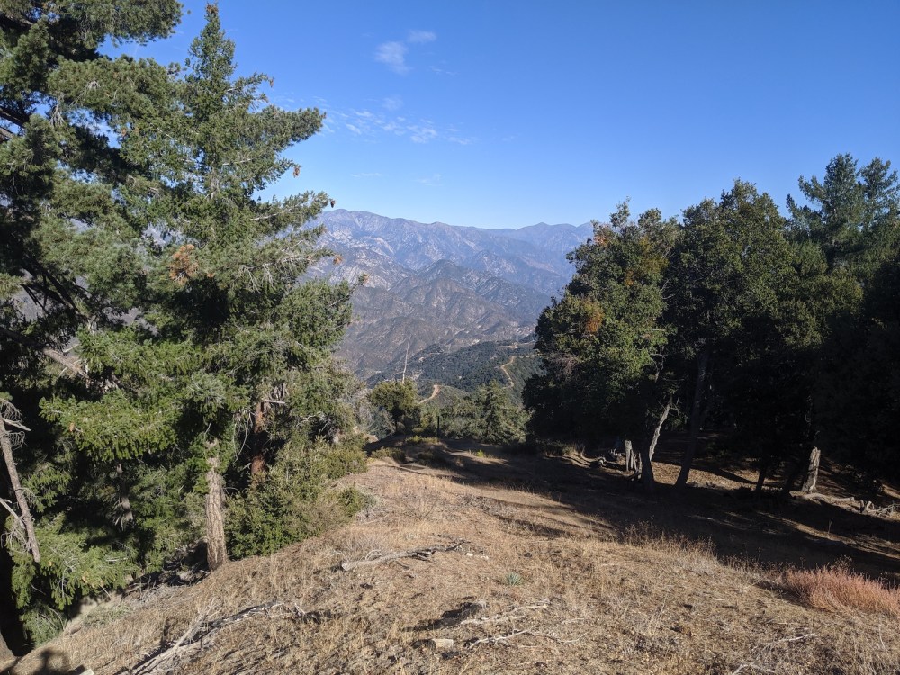
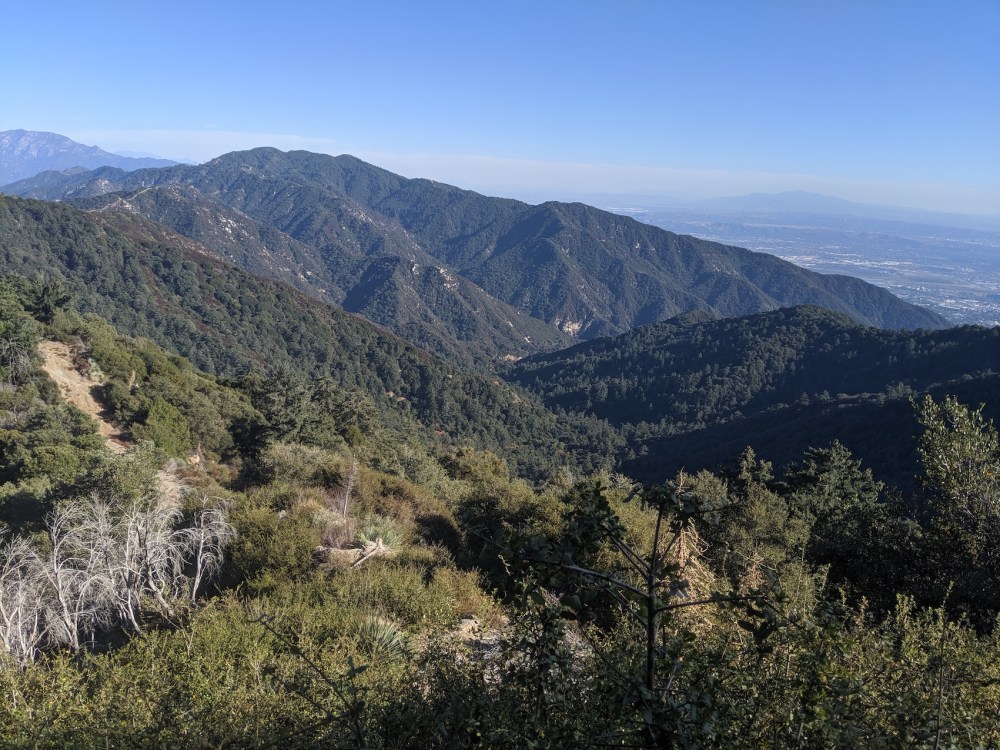
Views still good: right across to snow-dusted Baldy.
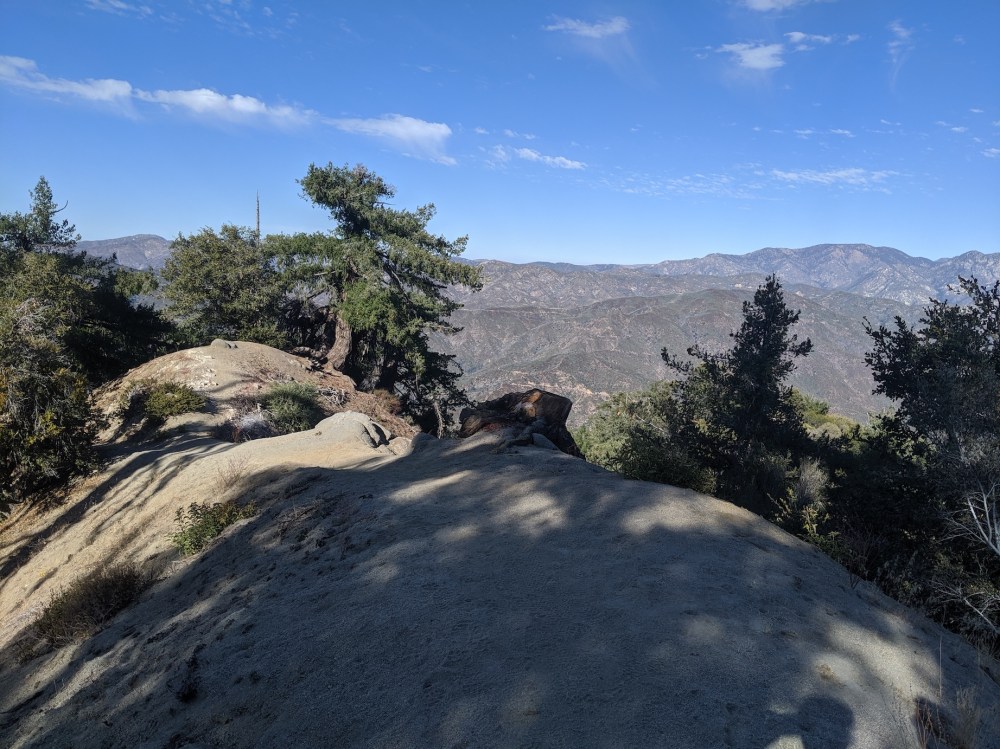
Just before the trail kinks northwest and starts to descend.
Descending through pine.
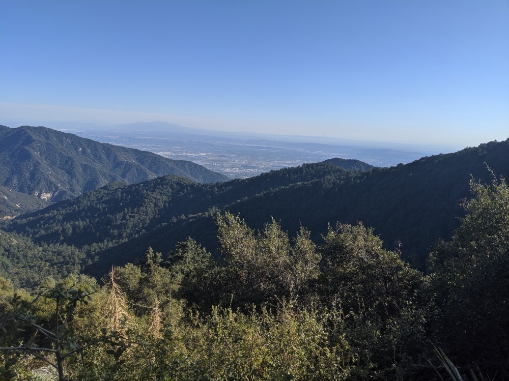
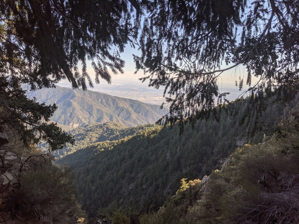
20 minutes later, more views southeast over the forested slopes to the San Bernadinos.
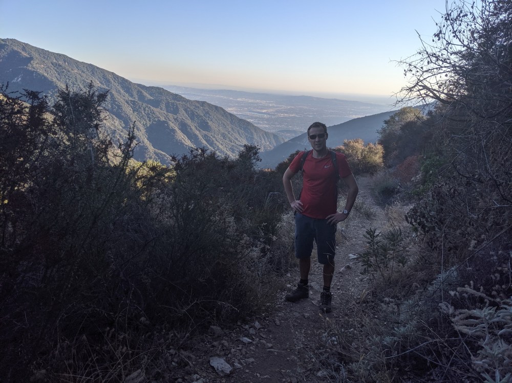
1 hour 40 minutes from the start of the Rim Trail (including hasty lunch).
The tedious tenor of the whole hike.
Enjoying one of the momentary breaks in the trees.
40 minutes after Newcomb.
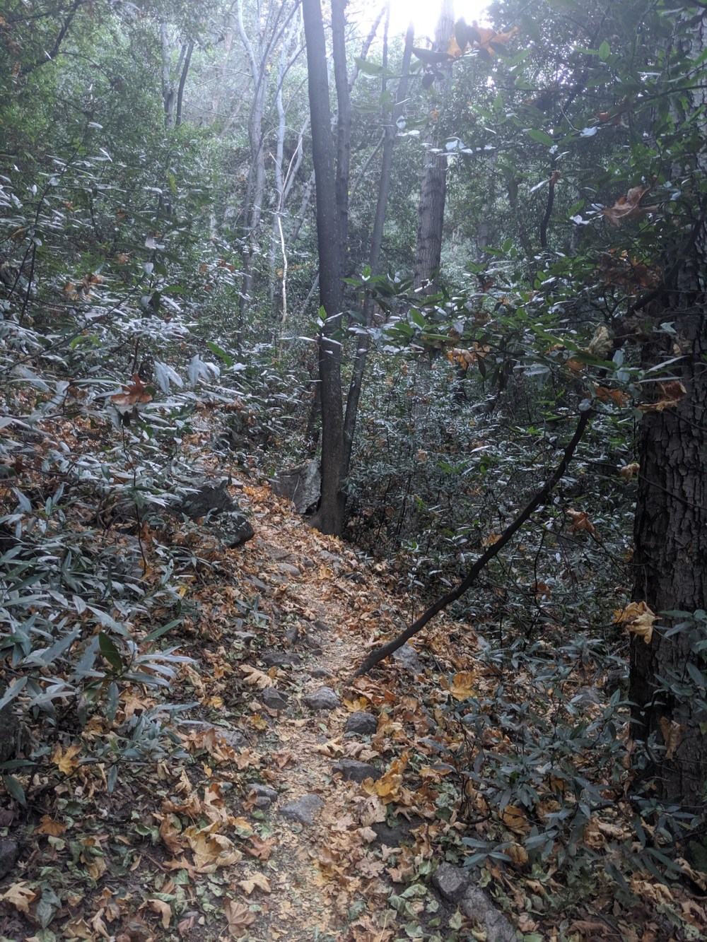
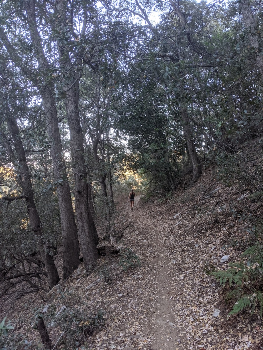
Proper woodland.
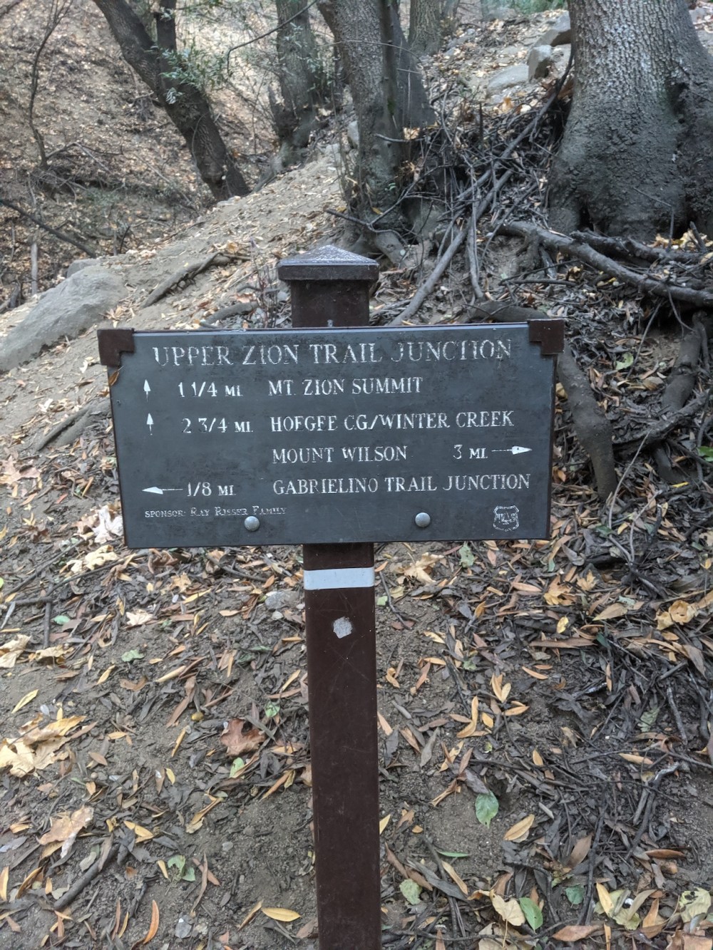
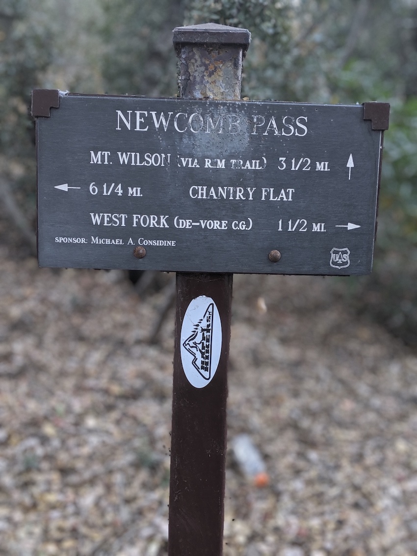
Junction with the Upper Zion trail, six minutes after joining the Sturtevant trail.
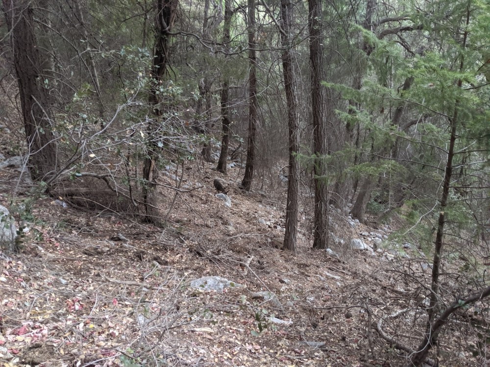
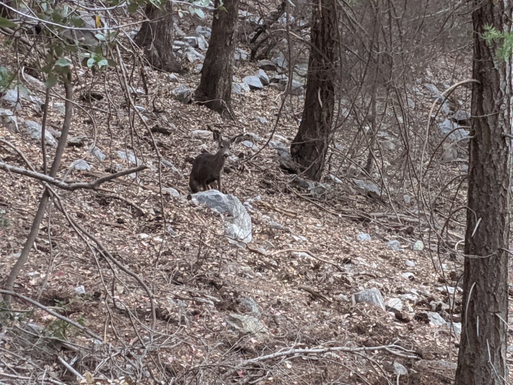
Half an hour later, some wildlife enlivens the trek.
45 minutes after joining the Sturtevant trail.
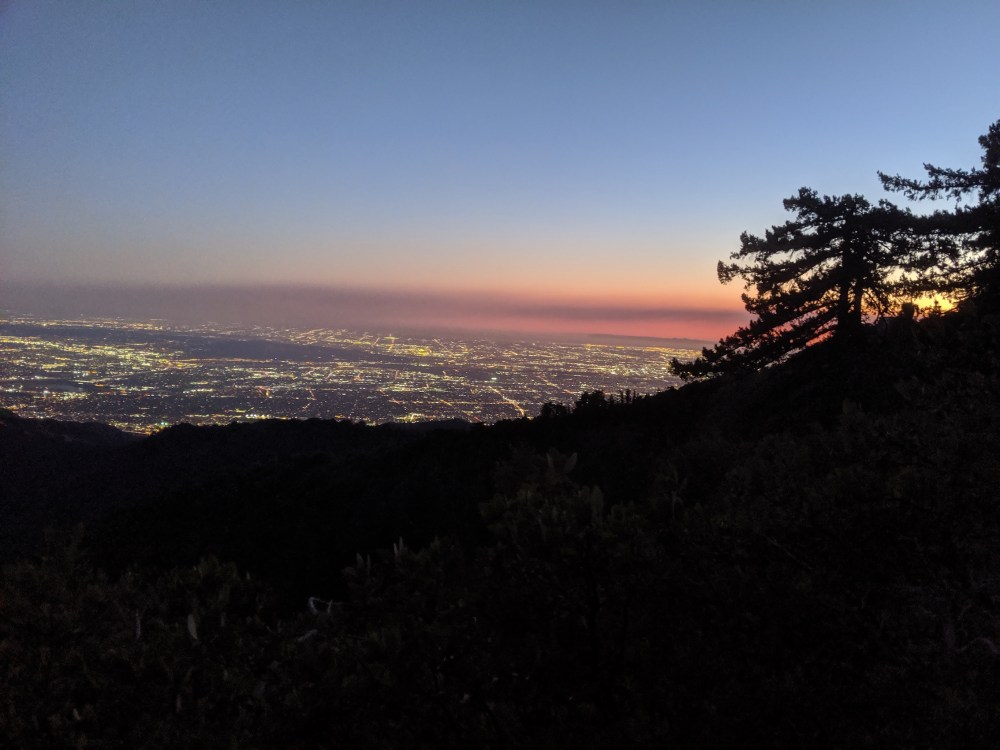
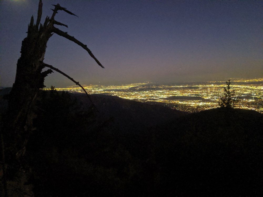
Half an hour later, light fading over east LA.
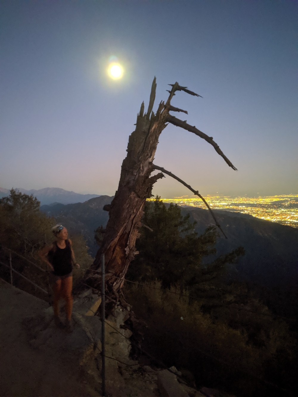
Echo Rock by full moon.
Funny how many good photos we got out of such a rubbish route!

If you got so many great shots, maybe it’s not such a rubbish route?
LikeLike
Haha, yes, looking back over these photos now, it does look kind of lovely—well, the first half, anyway. It’s funny how even if the theme you’re going for is “nasty hike, don’t bother”, it’s hard to resist the urge to complement it with pretty pictures…
LikeLike