Distance: 8 miles (12.9 km)
Time: around 3 hours
Elevation gain: 1,898 feet (579 metres)
Difficulty: terrain-wise, navigation-wise, and fitness-wise, easy-moderate
Drive: 20 minutes (15 miles) from Pasadena old town to Clear Creek Information Center
Trails of the Angeles hike no. 35
Modern Hiker has a helpful description here
And scroll to the bottom for an alternative (8.7-mile) version which skips the peak – nice for the winter
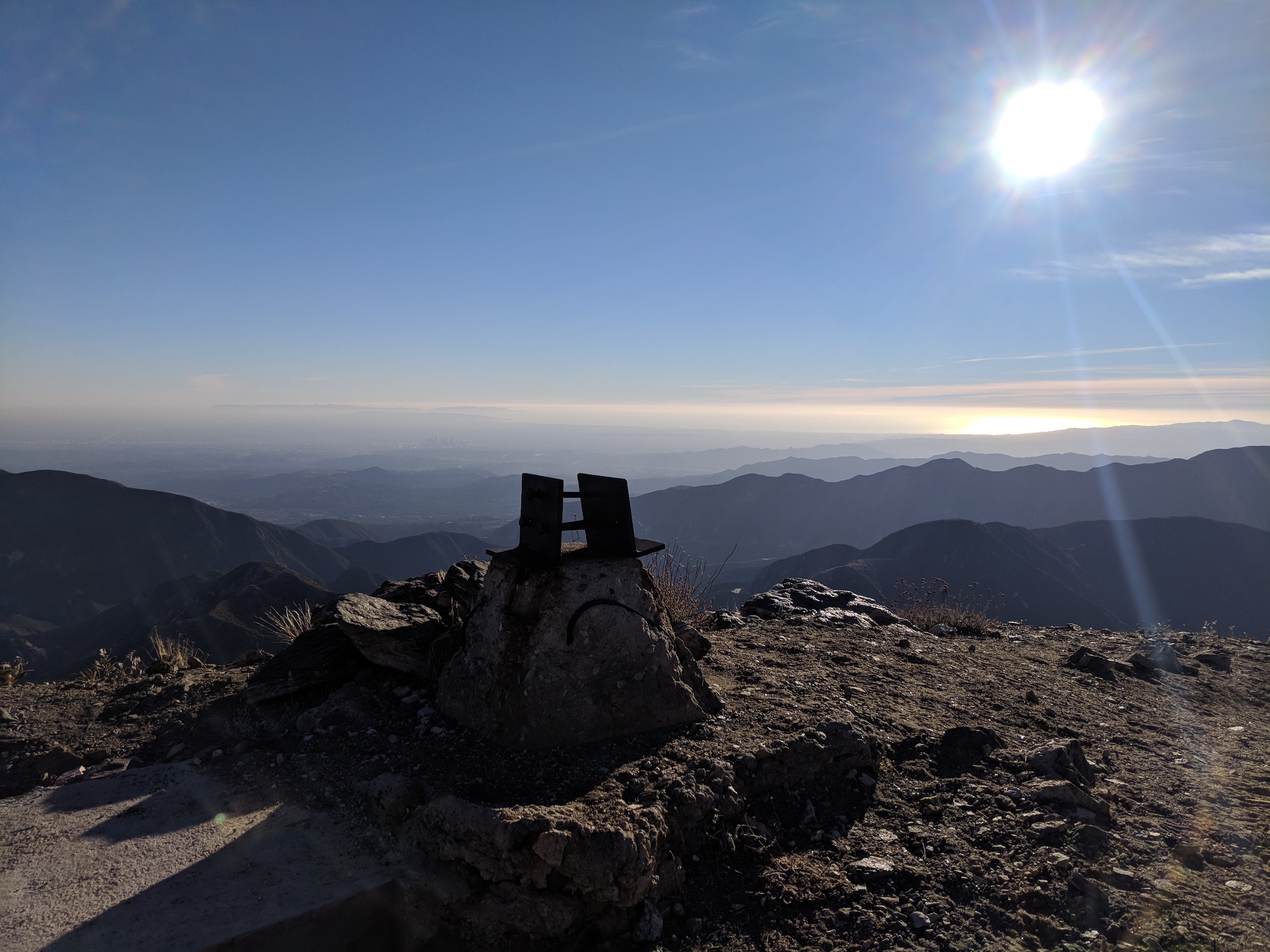
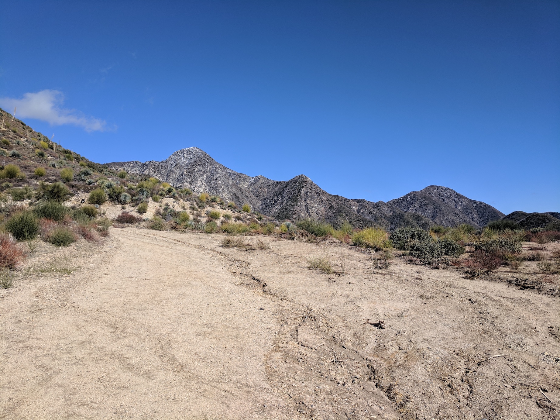
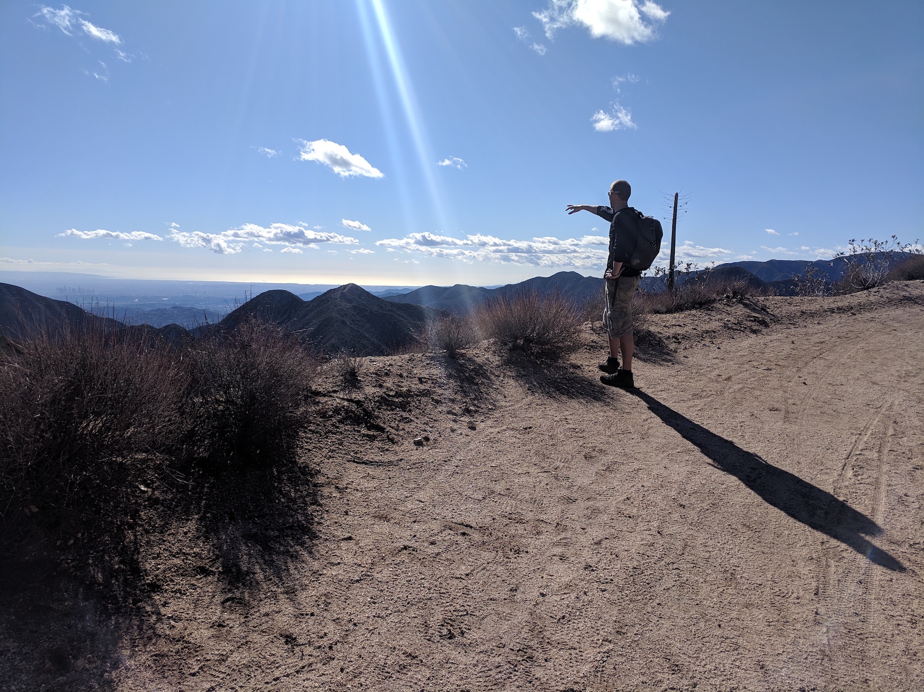
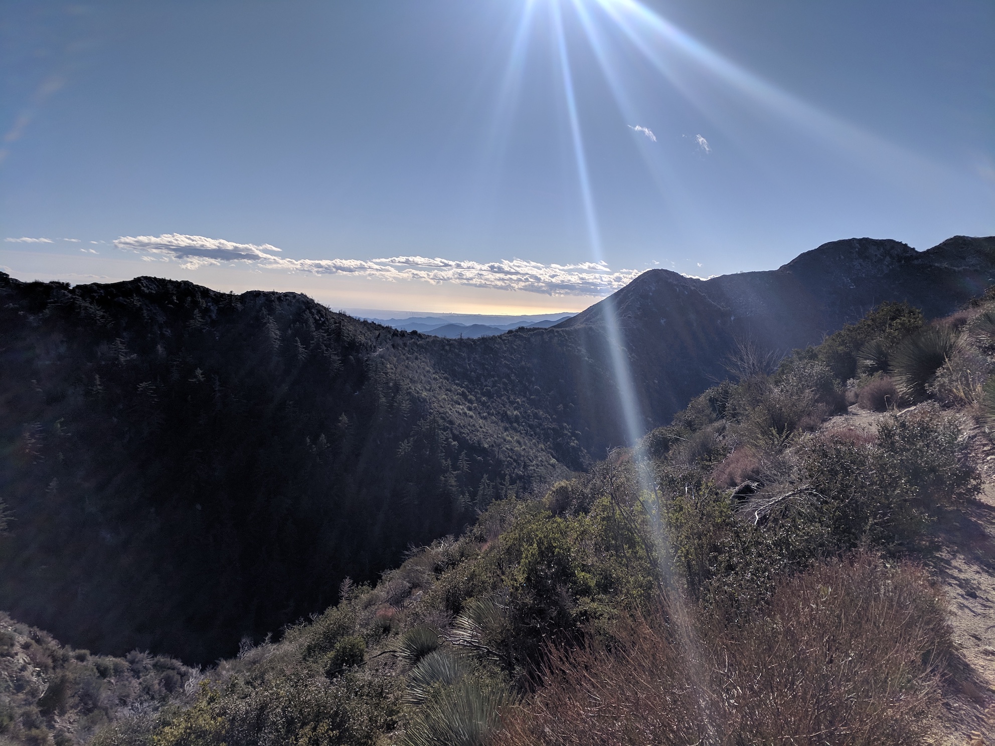
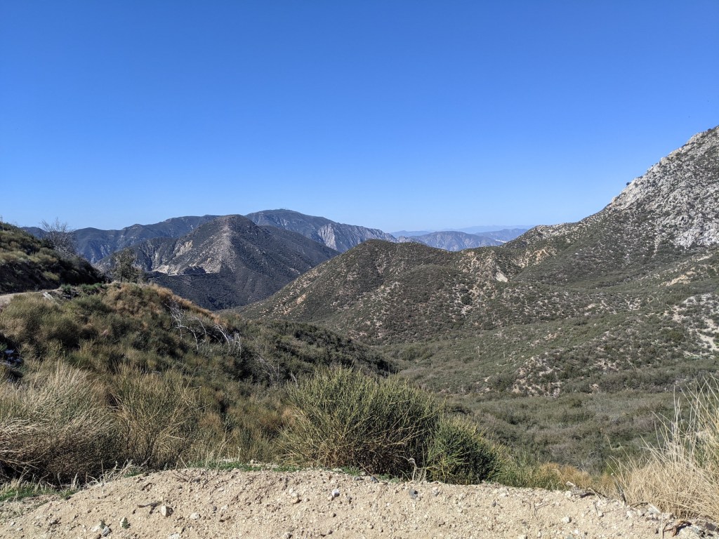
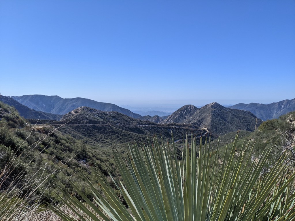
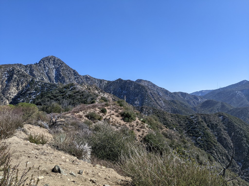
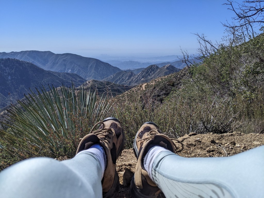
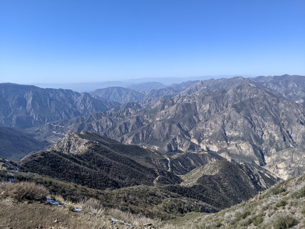
This is one of the few hikes we’ve done twice [*three times now; scroll to the end for a post-Covid return!]. Second time round, it was an obvious choice for my first weekend back to Pasadena: it’s a steady, simple ascent up a fire road close to home, to a peak with excellent views of LA and (on a clear day) the sea beyond, as well as north into Big Tujunga canyon. You also have views of the tall spiky Strawberry Peak to the east – and at 2.4 miles there’s a trail off to the right along to Josephine Saddle and Strawberry.
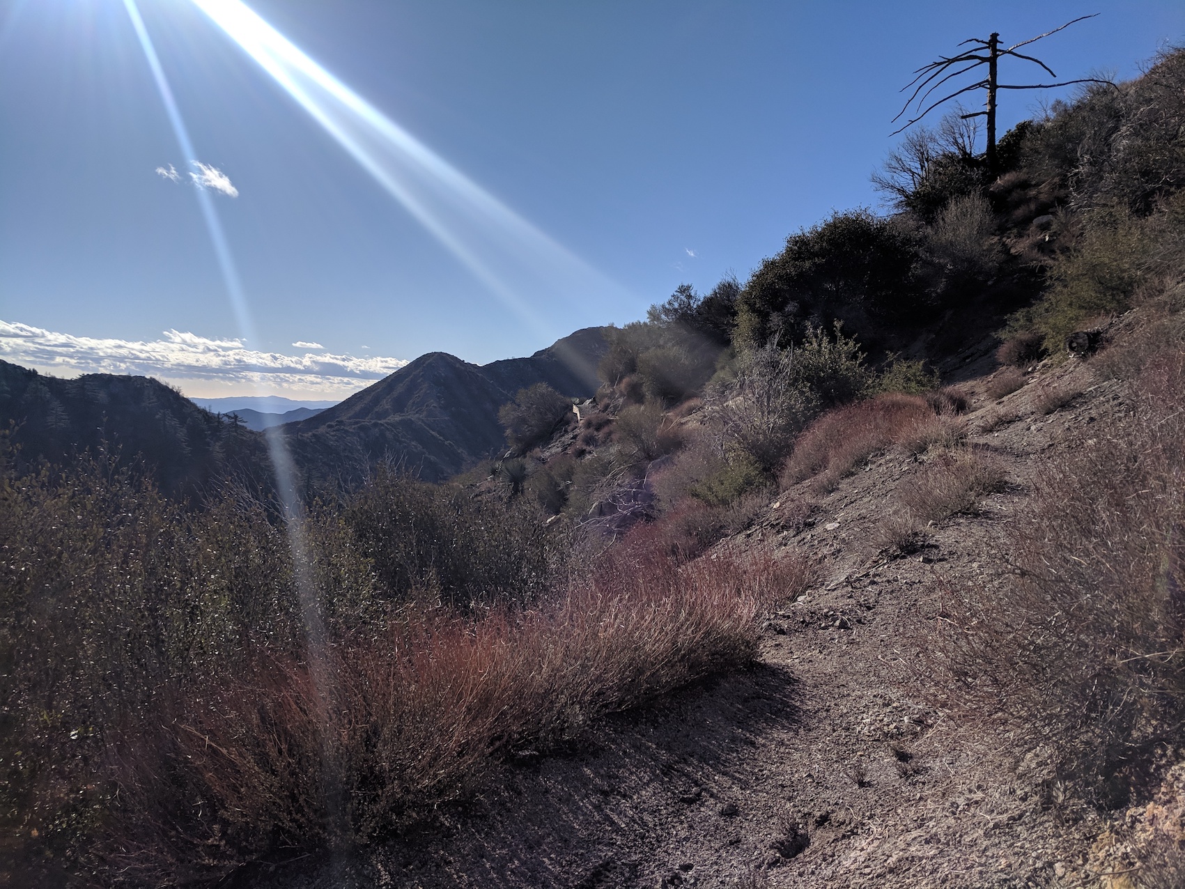
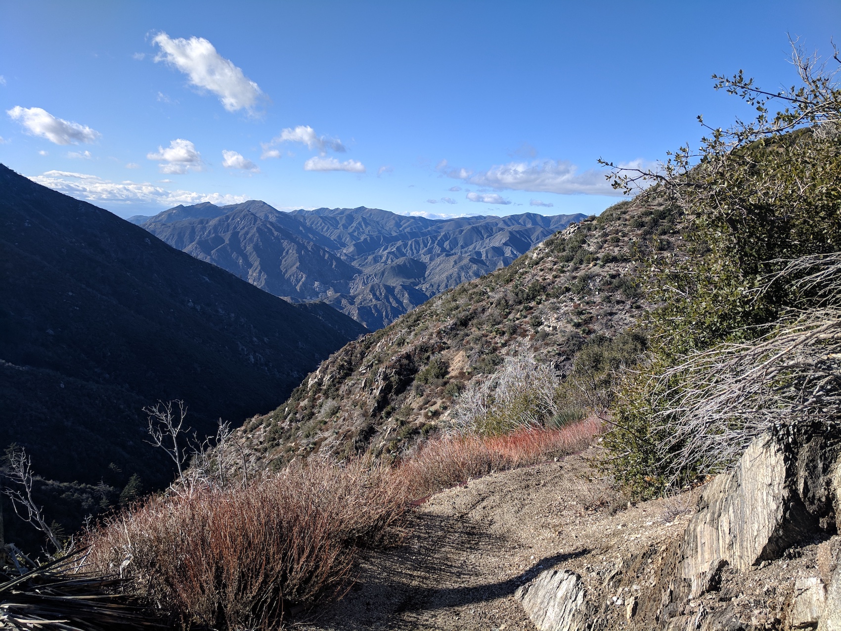
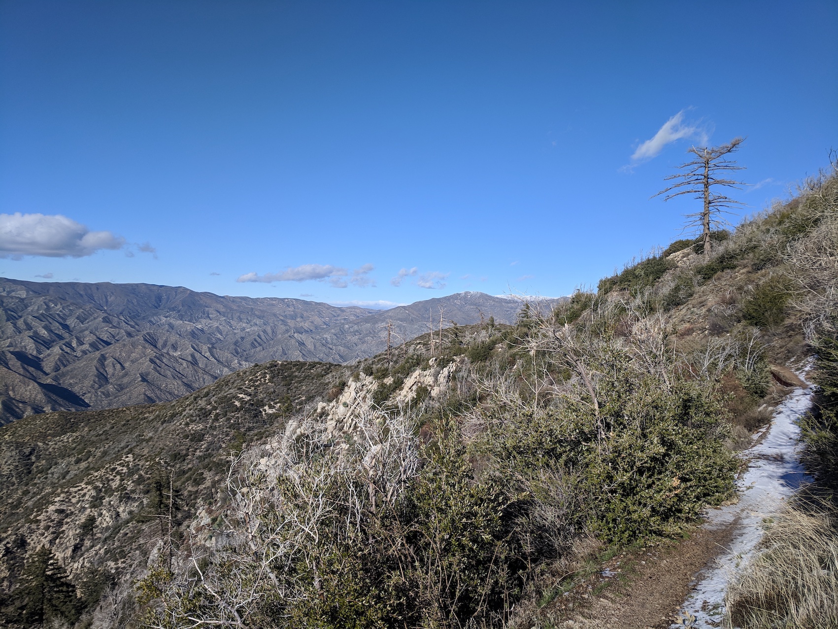
For the ascent up to the 2.4 mile (3.9 km) mark you’re on the south side of the slope, with lovely views almost from the start.
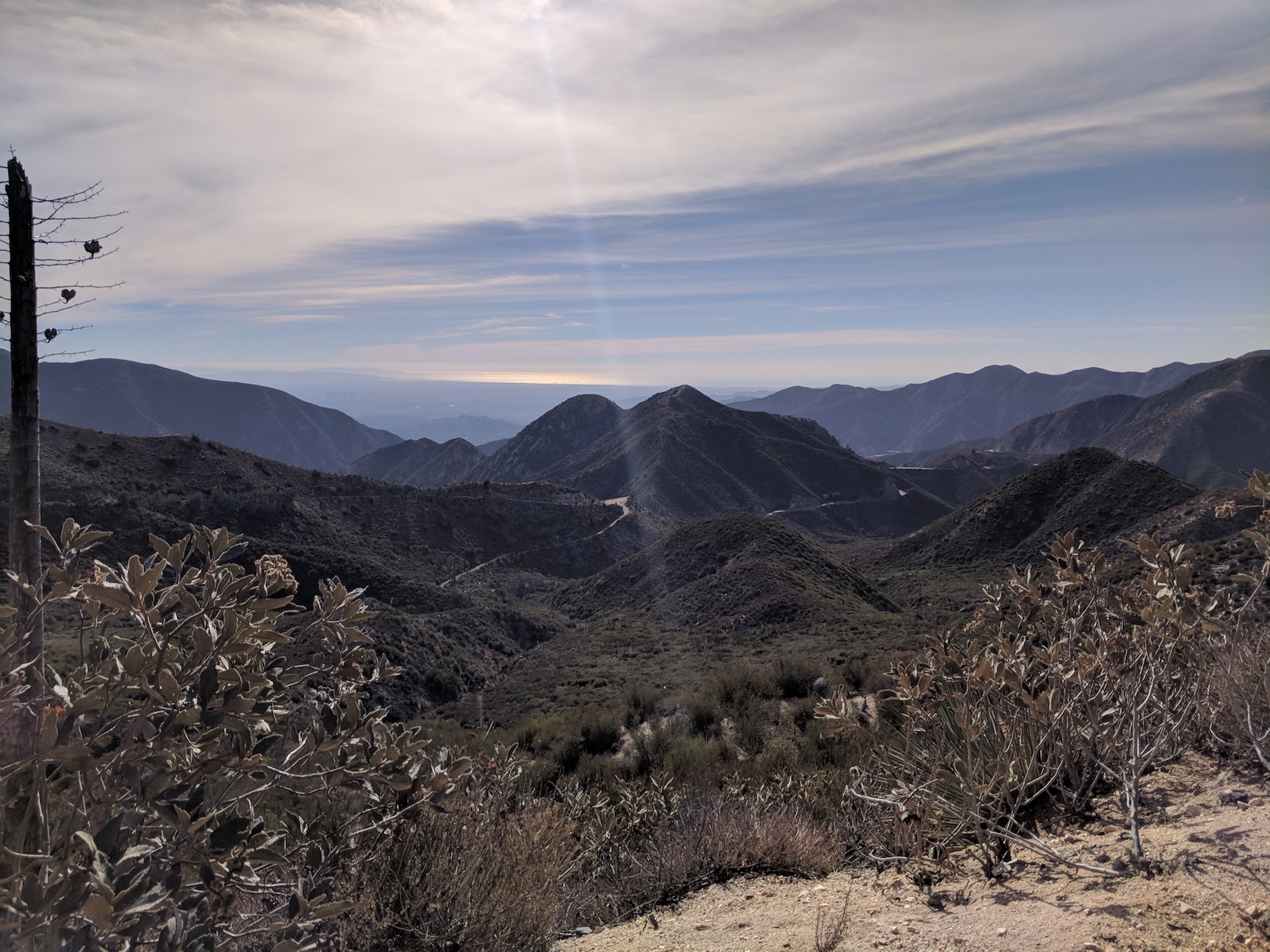
The end of that section is a nice point to stop for a drink and admire the northerly and easterly views that have opened up.
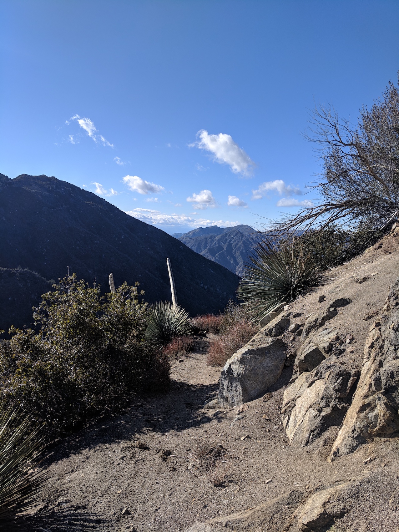
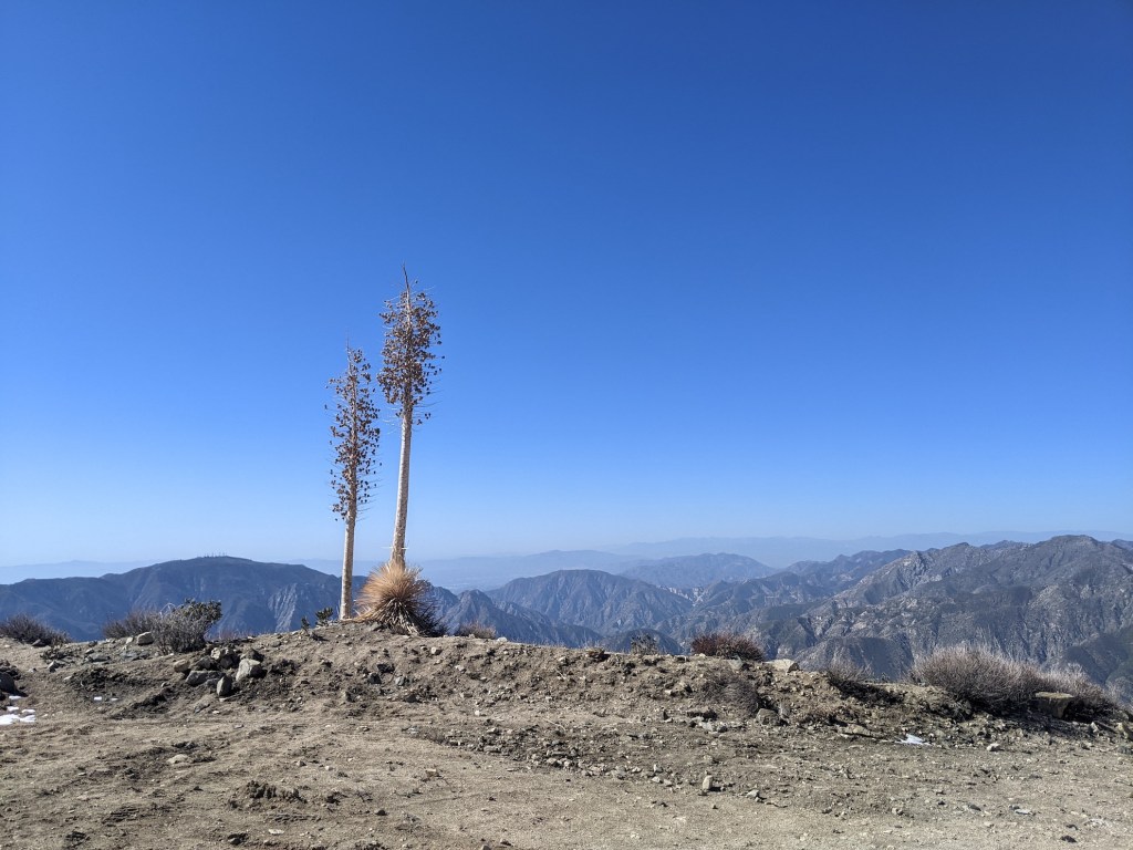
Then the fire road wraps round the back for most of the final stretch that leads you to the short path up to summit.
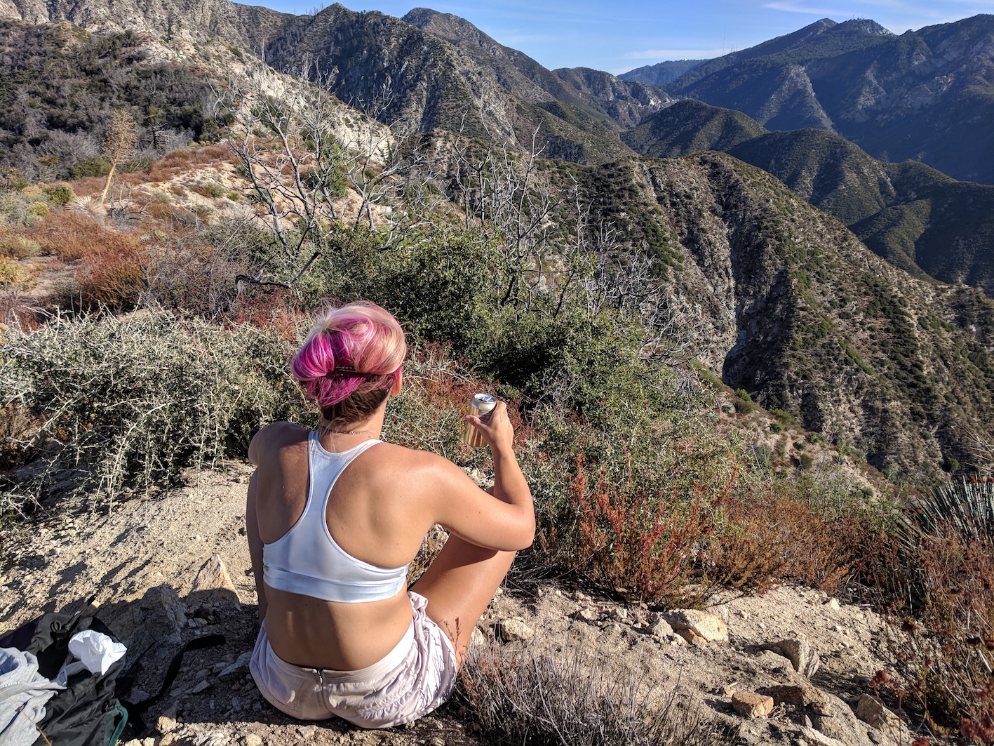
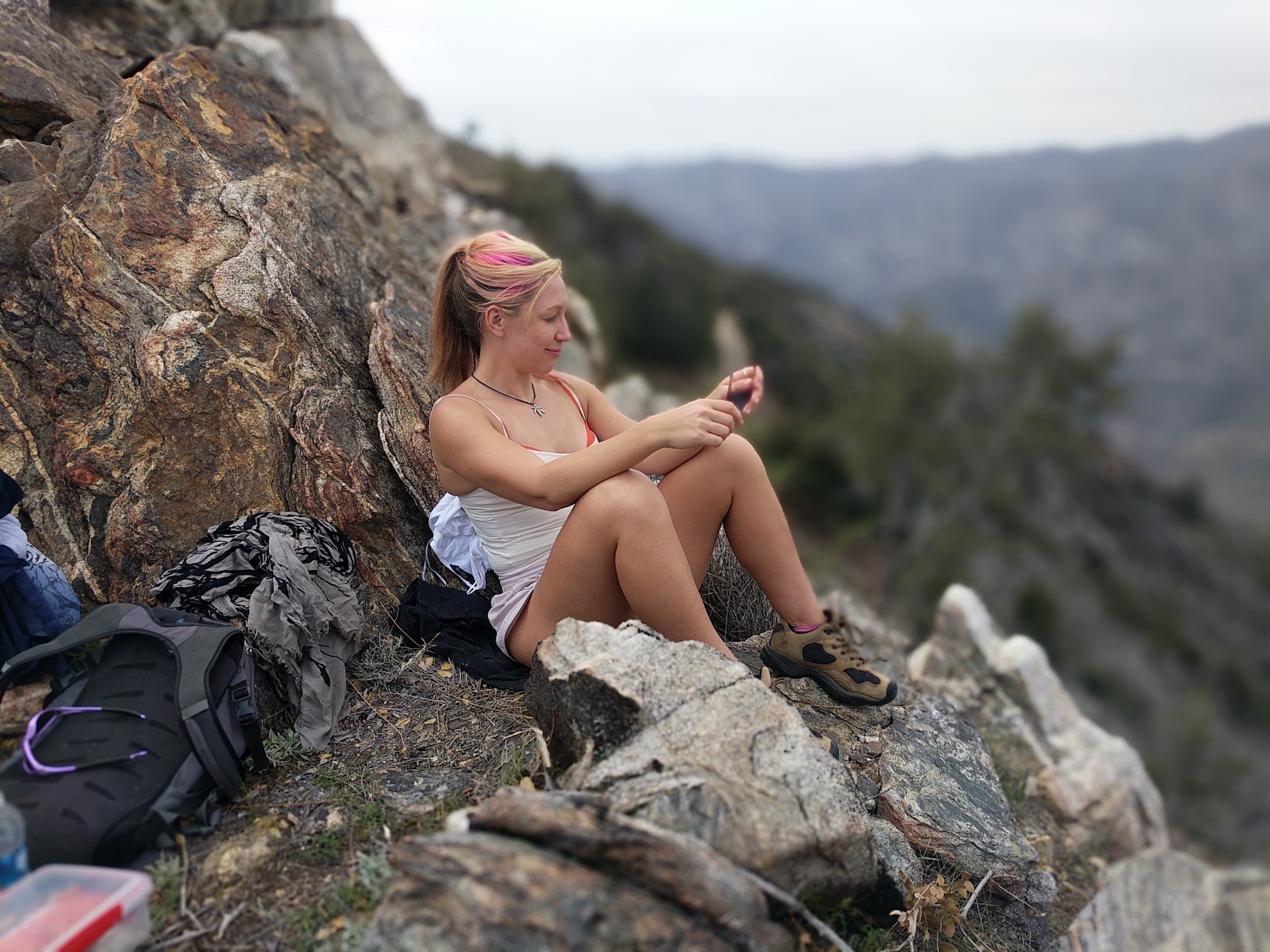
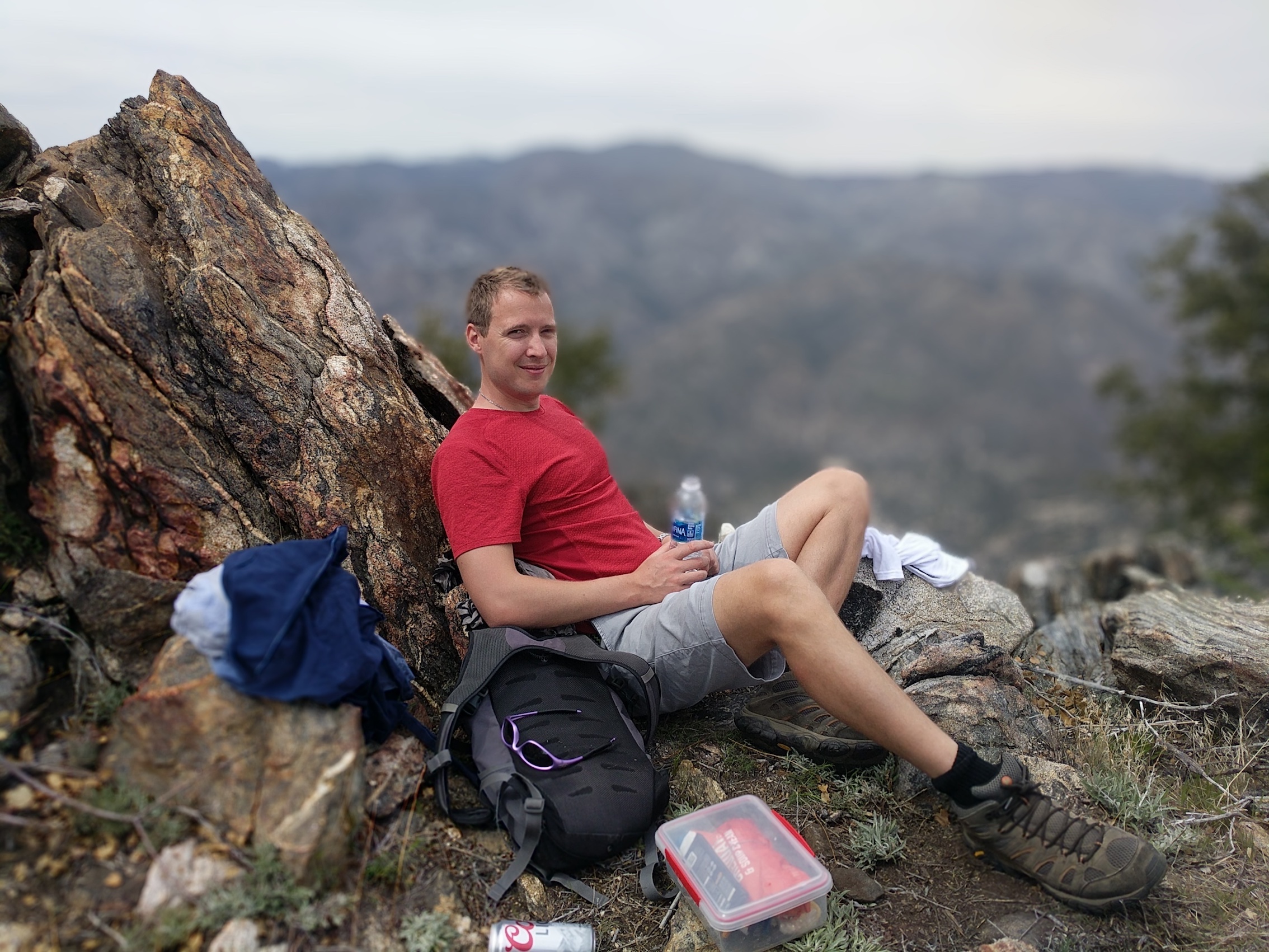
Our second time doing this hike we had our picnic not at the summit but on a more private rocky spine just off the track on one of the east-facing hairpins fairly close to the top.
*Update/variant February 2019*
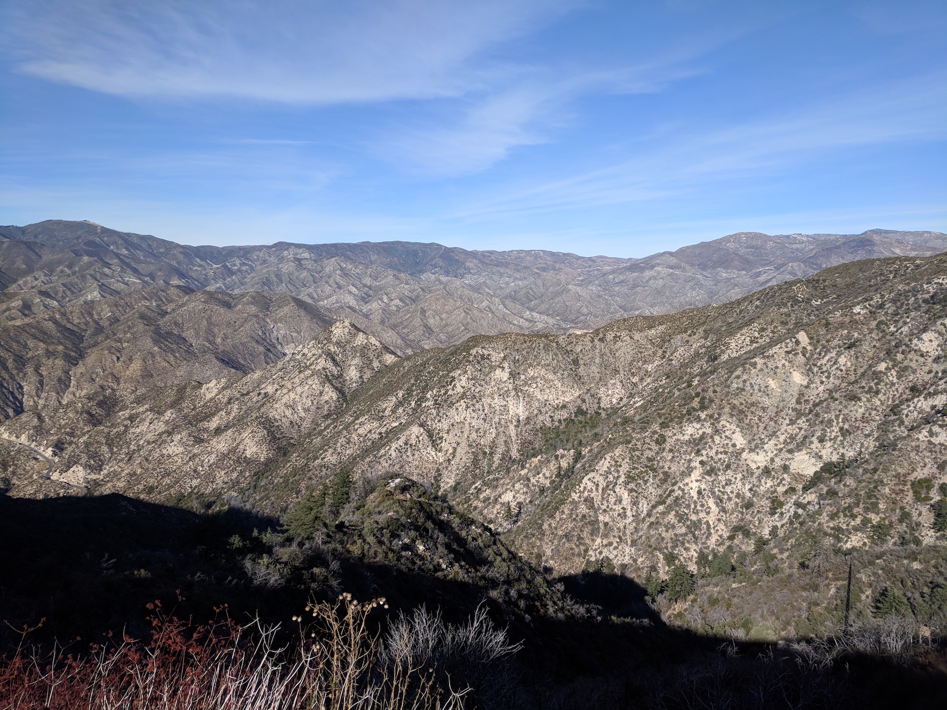
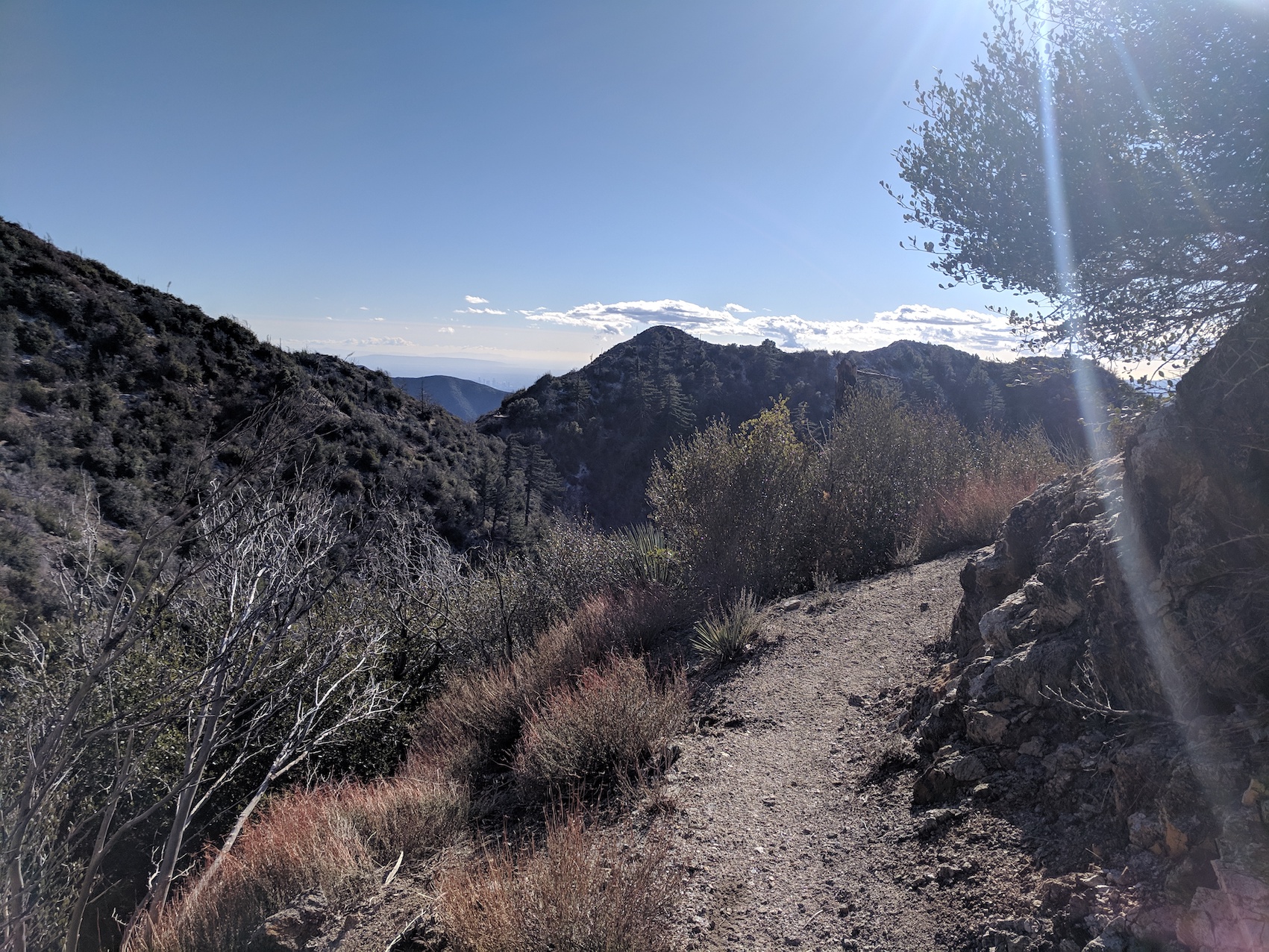
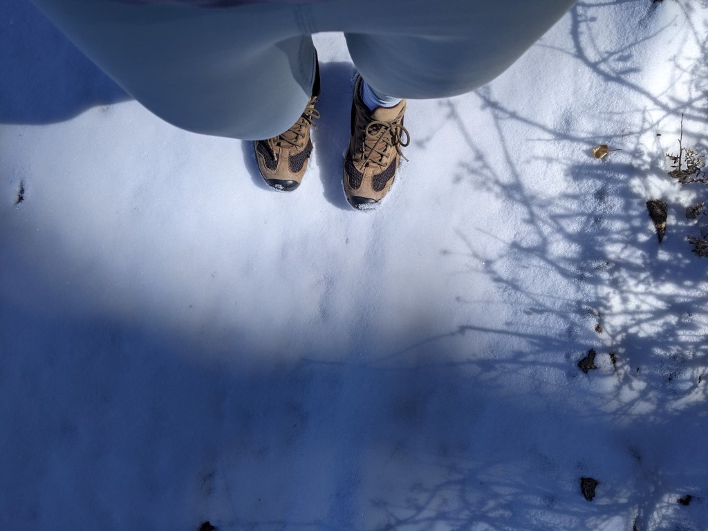
In the cooler months the fire road winding up the north slope of Josephine above the saddle is chilly and not particularly appealing, so this time we decided to skip the summit and take the path north-east from the saddle: a path which leads ultimately to Strawberry Meadow (a place less utterly romantic than it sounds, but still pretty nice, and the subject of a future post). So we had our picnic on the saddle and then continued east, past the water tank where the Strawberry Trail meets the Colby Canyon Trail up from the highway. After that, the path snakes only very gently uphill around the western flank of Strawberry Peak, offering enticing new variants on the vista with every twist. You can go as far along here as you want – we stopped and retraced our steps when the path reached its northernmost point before heading east along a very cold and snowy-looking north-facing slope, about 1.5 miles (2.4 km) and 40 minutes from our picnic spot on Josephine Saddle.
Then, to make a bit more of a circular route out of it, we retraced our steps 30 minutes and about 1.4 miles (2.3 km) to the junction with the 2-mile Colby Canyon Trail at the water tank. This way it’s about 55 minutes and 2.5 miles (4 km) down to the road, and a final 15 minutes and 0.8 miles (1.3 km) up the road back to the parking spot at Clear Creek. Total time for this one, about 3 hours 20 minutes; total distance about 8.7 miles (14 km). A very nice loop!
Admiring Strawberry Peak all sugar-dusted.
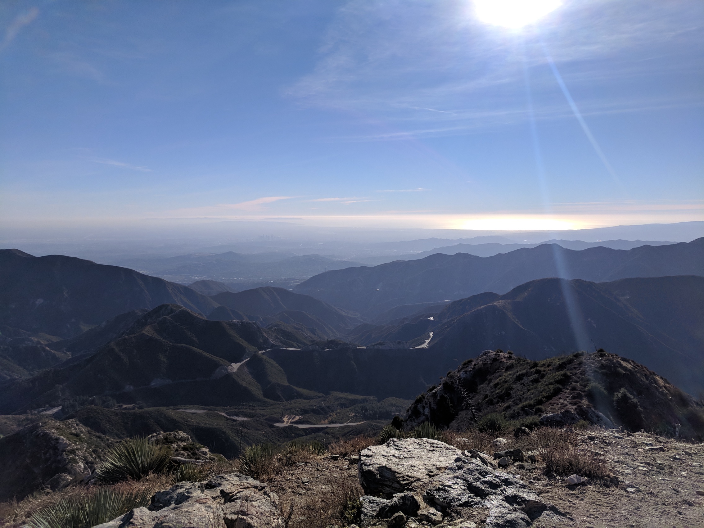
And admiring the glinting ocean…
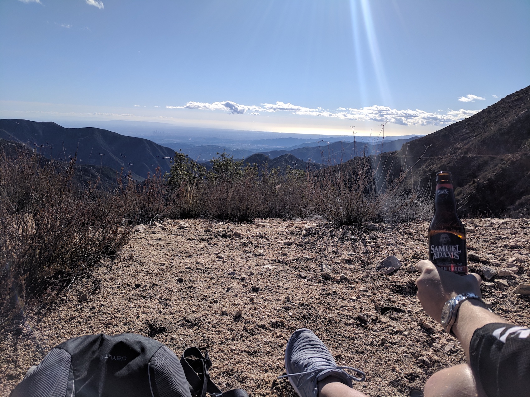
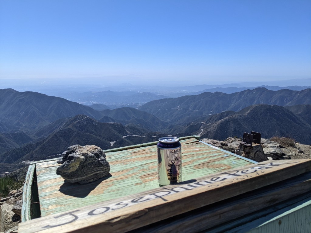
…and more admiration with lubrication.
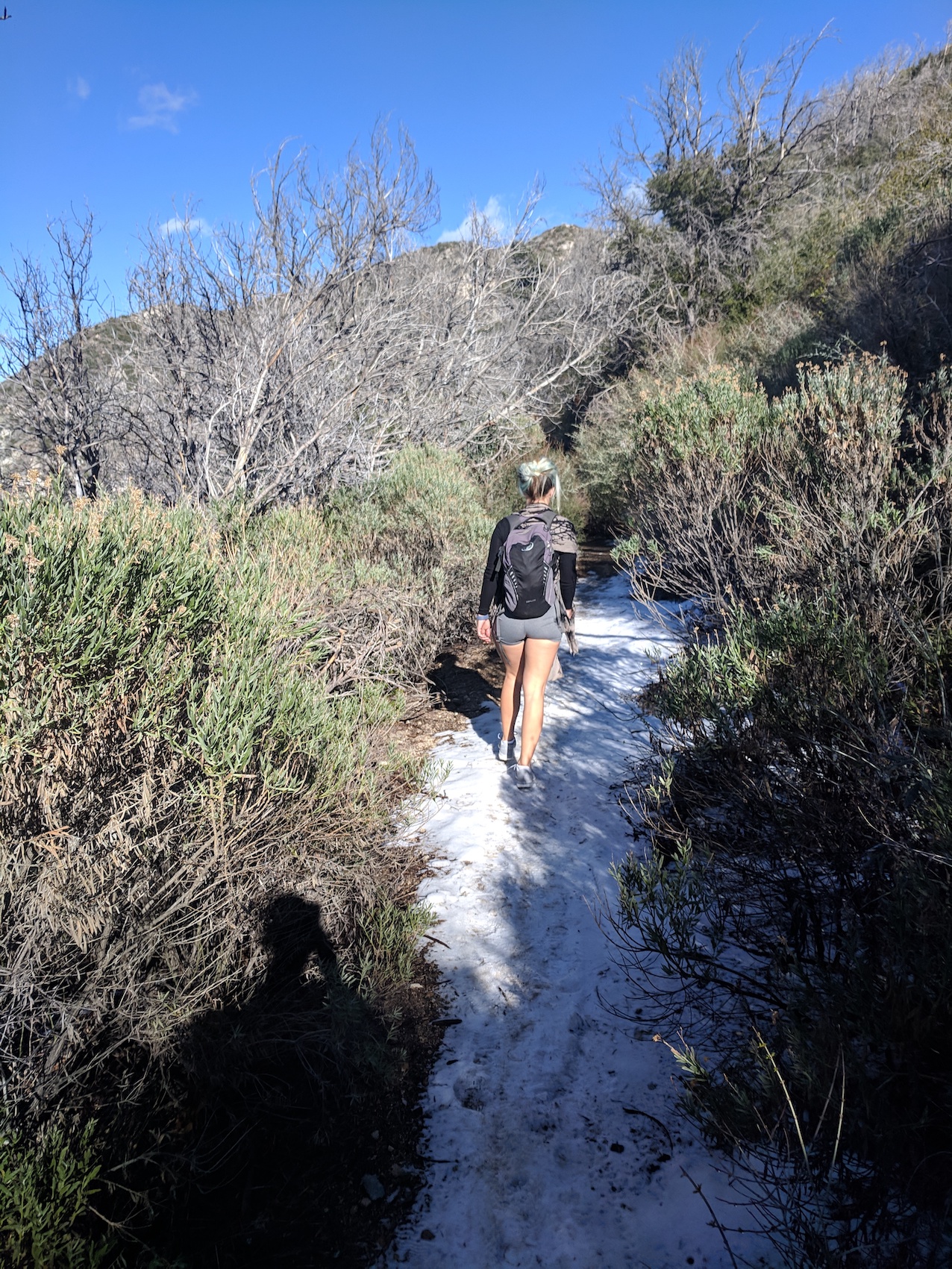
Setting off, thus fortified, intrepidly into the snow
And, to finish, six shifting vistas in six-and-a-half minutes of the Strawberry Trail:
*Update February 2022*
Gosh, what did Covid do to all these years? I finally got back to LA for my 40th birthday, and almost the first thing I did with my week (after getting a massage at Beautiful Day and stocking up at Ralph’s, mainly on spirits) was come back to Josephine. The conditions were perfect and the timings were as follows:
- 55 mins from car to saddle (including 5 minutes chatting about milestone birthdays to a lovely hiker called Tiger accompanied by numerous dogs; we agreed that so far the decades just keep getting better, and she had one more than me)
- 10 mins break admiring the views
- 30 mins saddle to summit
- 40 mins admiring the views and having a doze
- 20 mins back down to the summit
- And 40 mins back to the car
So total 3 hours and a quarter (10:30 to a bit before 2), of which just under 2.5 was walking.
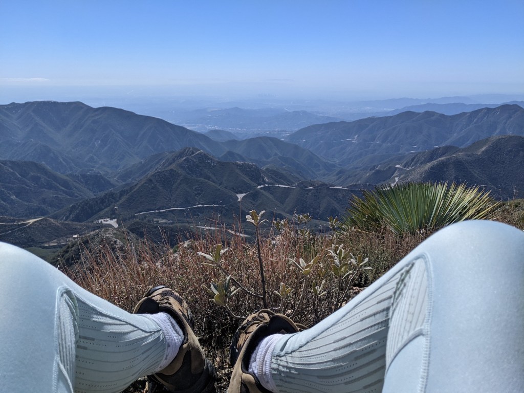
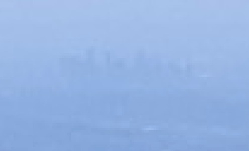
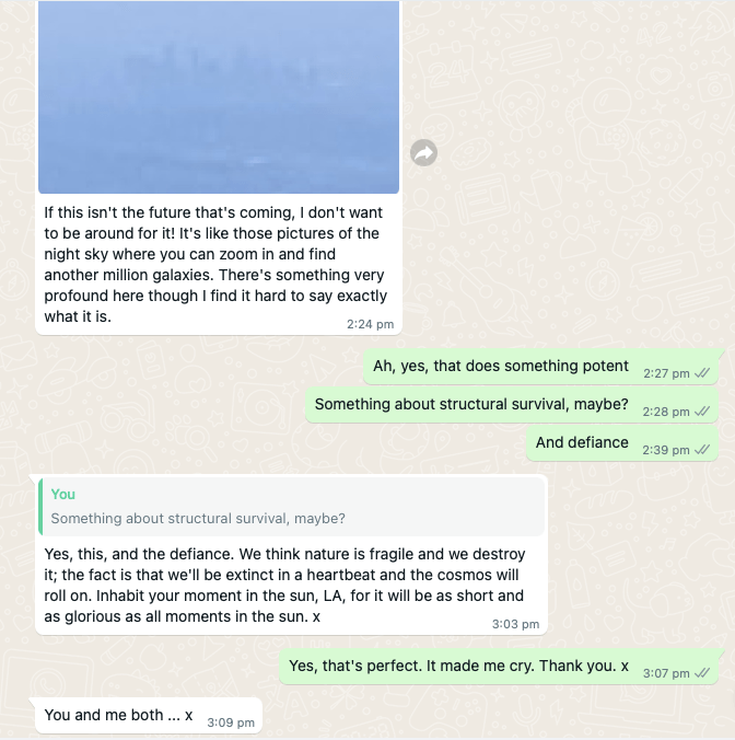
Just below the top, a private spot for a mini nap. I sent this photo to a friend, and he blew up the skyscraper part of it.

3 thoughts on “Josephine Peak”