Distance: 6 miles (9.7 km)
Time: 5 hours 15 minutes including about 30 minutes of rests
Elevation gain: 2,600 feet (792 metres)
Difficulty: terrain-wise, easy to moderate for most of it, very difficult for two short patches (Class 3 rock climbing, to be technical); navigation-wise, moderate; fitness-wise, moderate to difficult [Trails of the Angeles gives both this and Bridge to Nowhere an overall ‘Moderate’ rating, which is just ridiculous]
Drive: 25 minutes (16 miles) from old town Pasadena, west on the 210 and east on the 2 to Colby Canyon trailhead
Trails of the Angeles hike no. 36
Modern Hiker has a longer (10.8-mile) version descending the east side of the summit and looping round Strawberry Meadow, here
This is the most demanding hike we’ve ever done, terrain-wise. I was positively scared at times, which rarely happens! At 6,164 feet (1,879 metres), Strawberry Peak is the highest in the San Gabriels front range, and is apparently known as the ‘fun’ one. Most of the route is pretty doable, if with steep patches, until the final stretch up the near-vertical rock face to the summit. We did it on Thanksgiving, and made the mistake of thinking that the relative short mileage meant it’d be fine to have breakfast at the top and not take very much water. Progress is slow, so allow plenty of time, and rations!
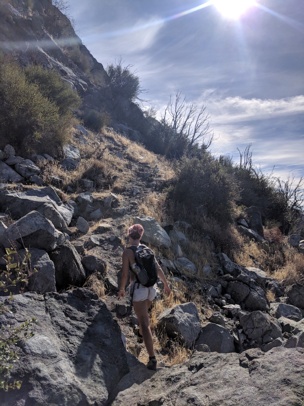
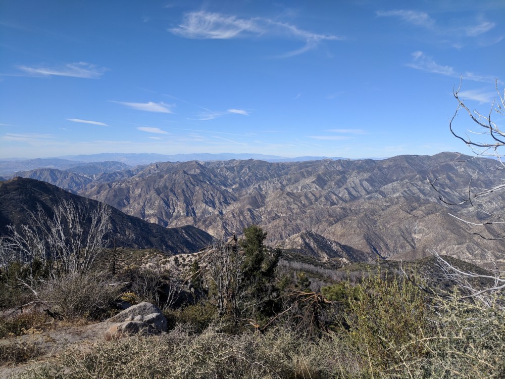
Starting from the Colby Canyon trailhead on the Pacific Crest Highway half a mile past Clear Creek Rangers Station, follow the Colby Canyon trail up the west side of the creek; there are a couple of water crossings and some places a bit overgrown or eroded, but nothing serious. After about 0.25 mile (0.4 km), the path starts to climb steeply up the east side and then drops back into the shade of the upper canyon before starting the switchbacks up the south-facing slope to Josephine saddle (2 miles / 3.2 km from the 2).
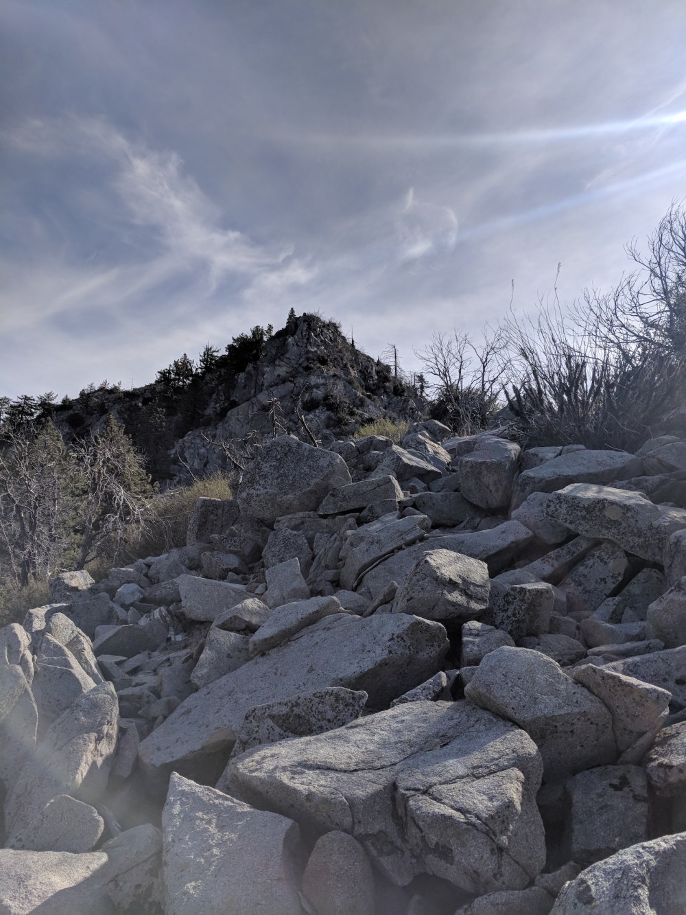
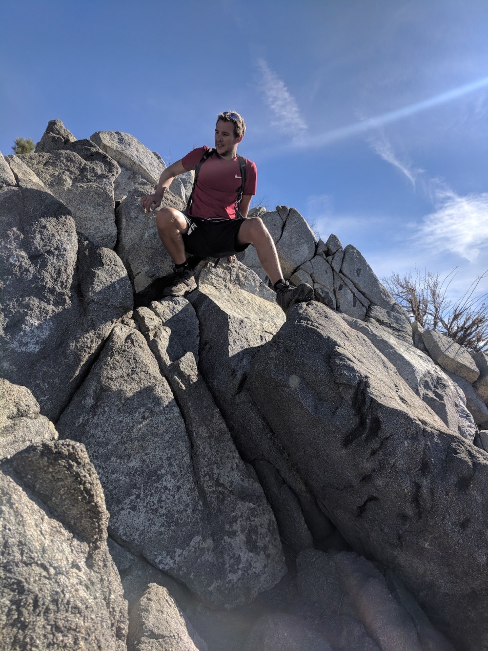
Here, at a water tank, you join the Strawberry spur of the Josephine fire road; if you want a slightly longer (0.5 mile more) but much gentler ascent, you could park at Clear Creek and come up the fire road (see our Mount Josephine hikes). The trail turns right and becomes the Strawberry Meadow trail, winding along the flat to the Meadow around the western flank of the Peak (see our alternative Josephine route), but instead almost immediately you take the steep climber’s path that diverges from the main one to climb the crest. After about 0.25 mile you get to a rocky section of about 75 vertical feet which we found an absolutely awful route across: we headed too far east, to the far side, and it was a terrifying mixture of sheer rock and scree. Not pleasant. We came down the west-facing slope and it was definitely better, but we didn’t necessarily find the optimal route across there either. But don’t stray too far east would be our advice!
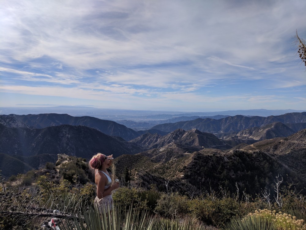
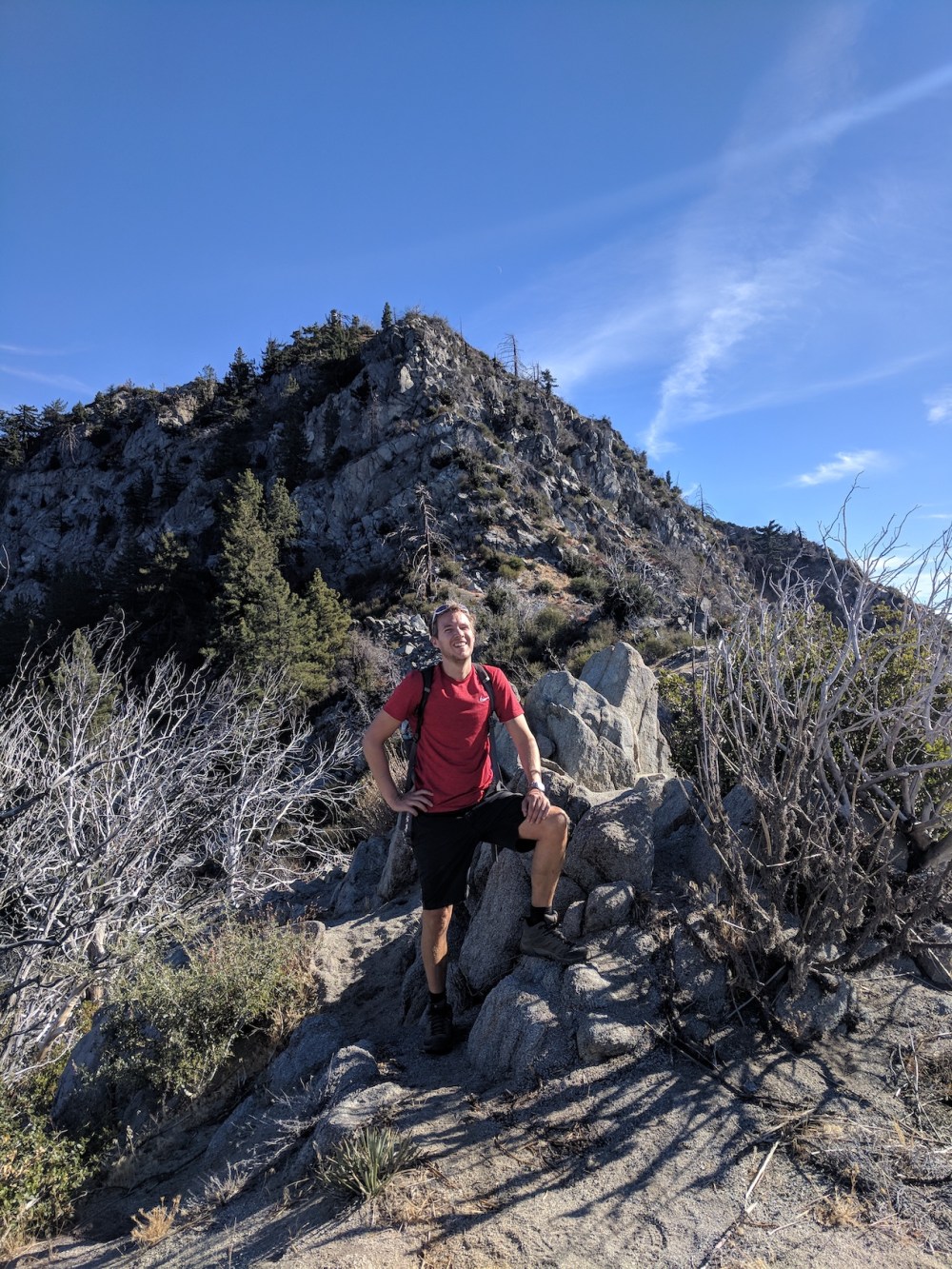
Surviving this was cause for a pre-breakfast and a big thanksgiving slug from the hip flask before proceeding along the ridge crest to the base of the summit block. There are some ups and downs and quite a lot of spiky vegetation, but overall it’s a nice lull between scary bits!
Then begins the final ascent. Trails of the Angeles says ‘the route looks more difficult than it is’. I don’t think we agree. There are some helpful green markers to guide you, though not quite enough to be totally confidence-inspiring. There were a few moments where I didn’t know how to go on or back and thought maybe this was a bit of a mistake. But we did it, and after a short scramble from the top of the steep bit to the top, the summit was spectacular.
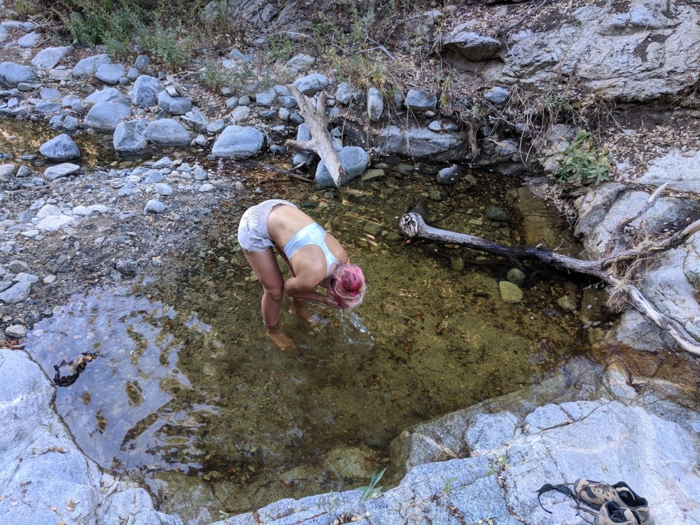
Then we just retraced our steps. Obviously retracing steps down rock faces isn’t the easiest thing ever, but at least we managed the second rocky patch better than on the way up. Getting back onto the Colby trail felt like being back on a main road, and a final bathe in the Colby Creek right before the end was the perfect finale.
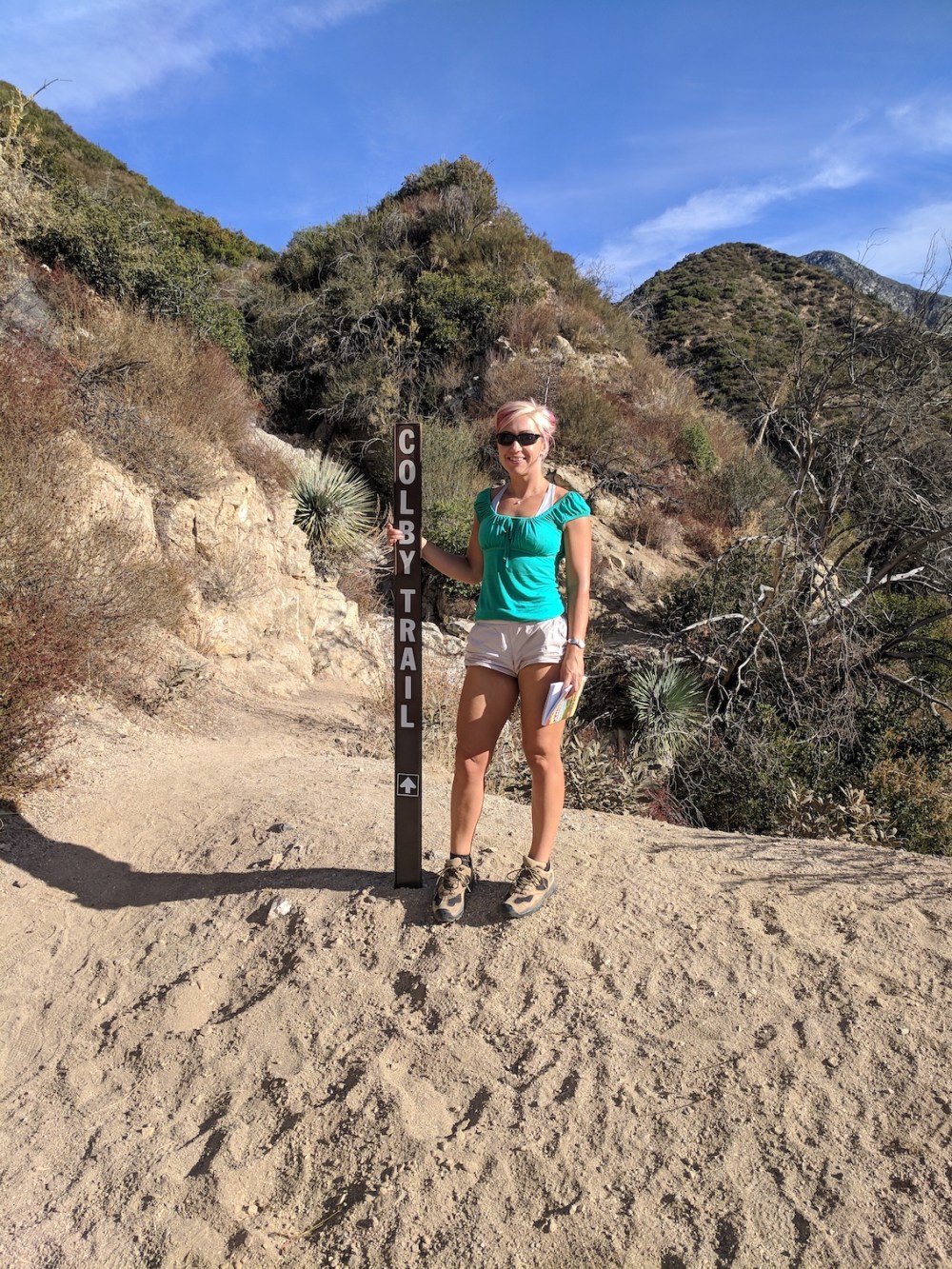
The first few feet off the road, at 9:15 am
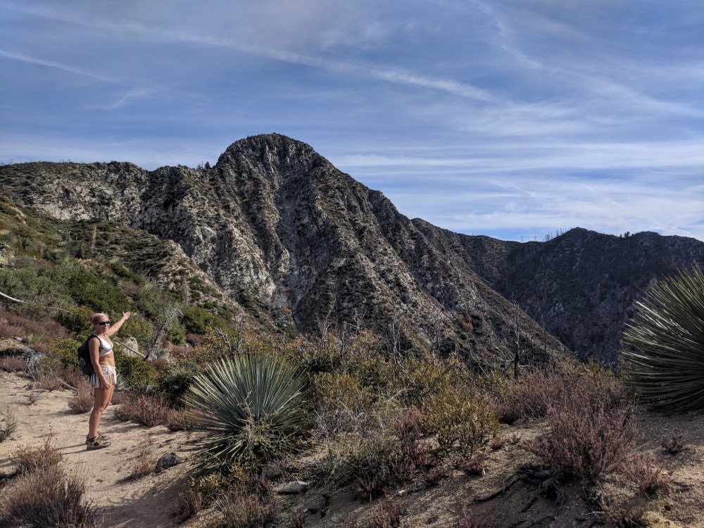
The first decent view of Strawberry
Boozy breakfast after near-death rock face
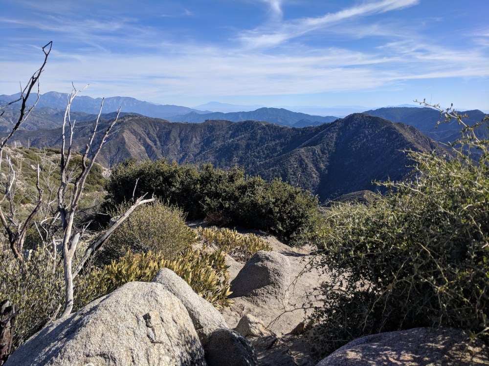
The peak from the ridge — starting to feel a little bit too Lord of the Rings
Feeling Hobbit-like
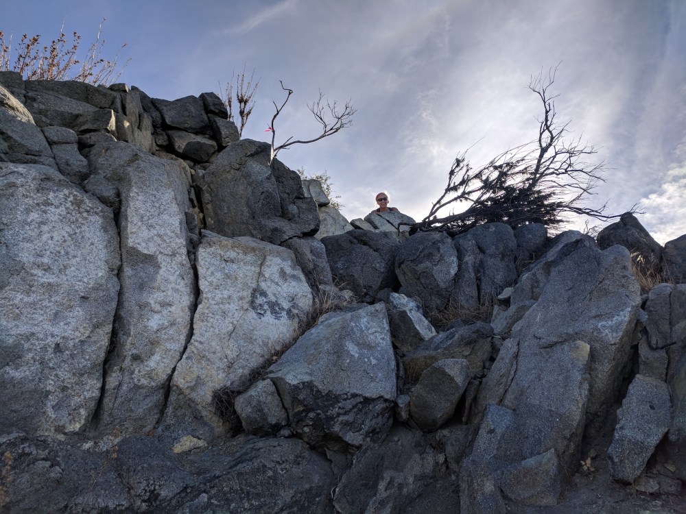
Pathfinding fun
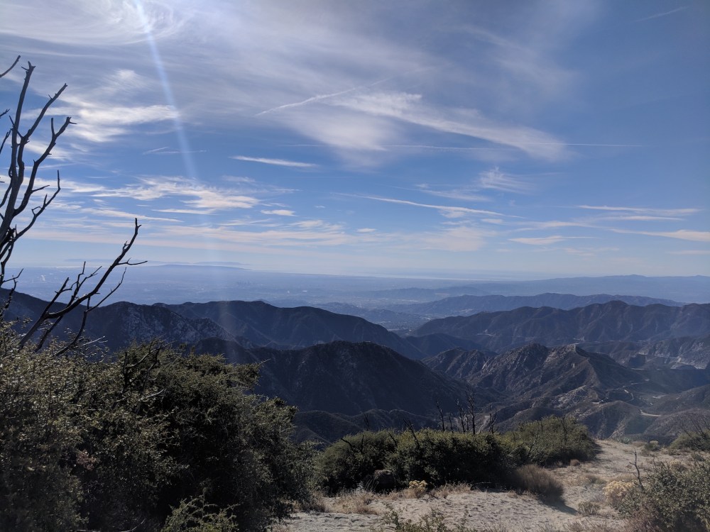
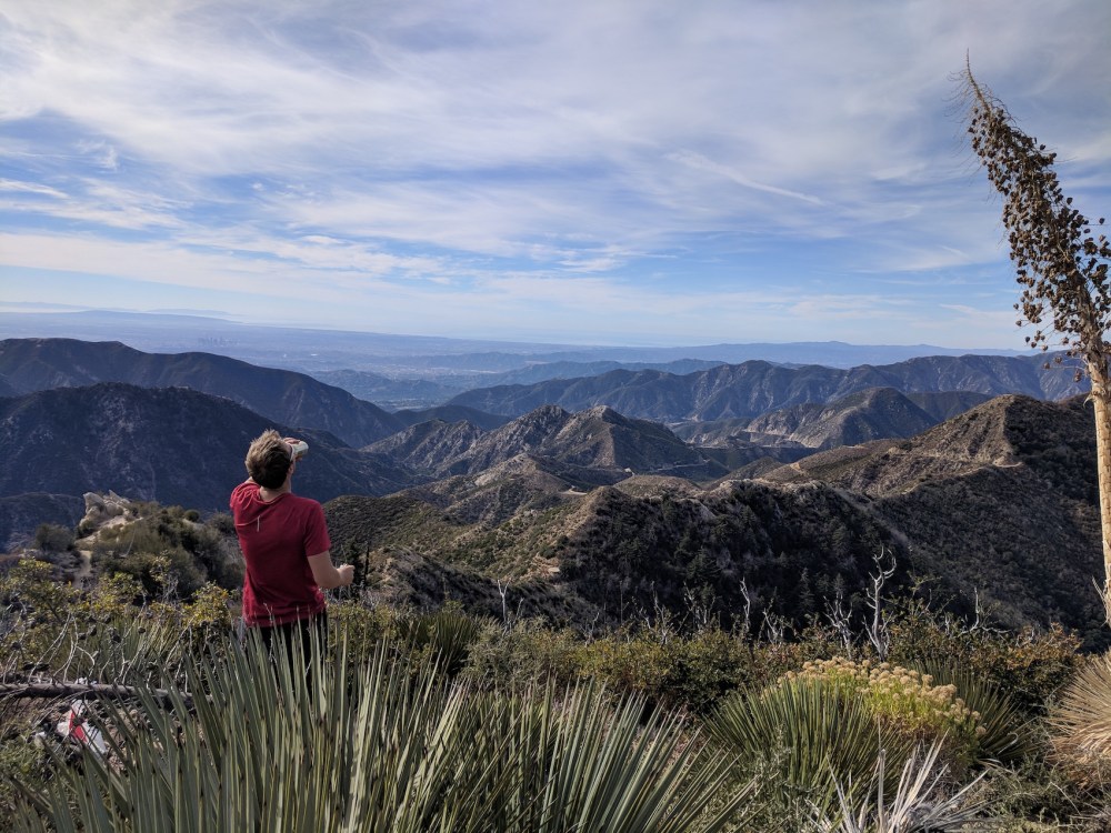
And at midday, the summit at last: the sea and the Catalina Islands to the south
Josephine in the foreground, and the rest of the front range extending to the west
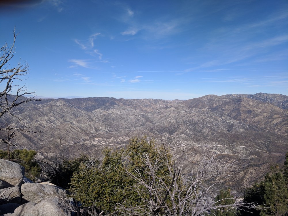
The arid back range to the north
The next-door ridge of Mount Lawlor, and Baldy in the distant east
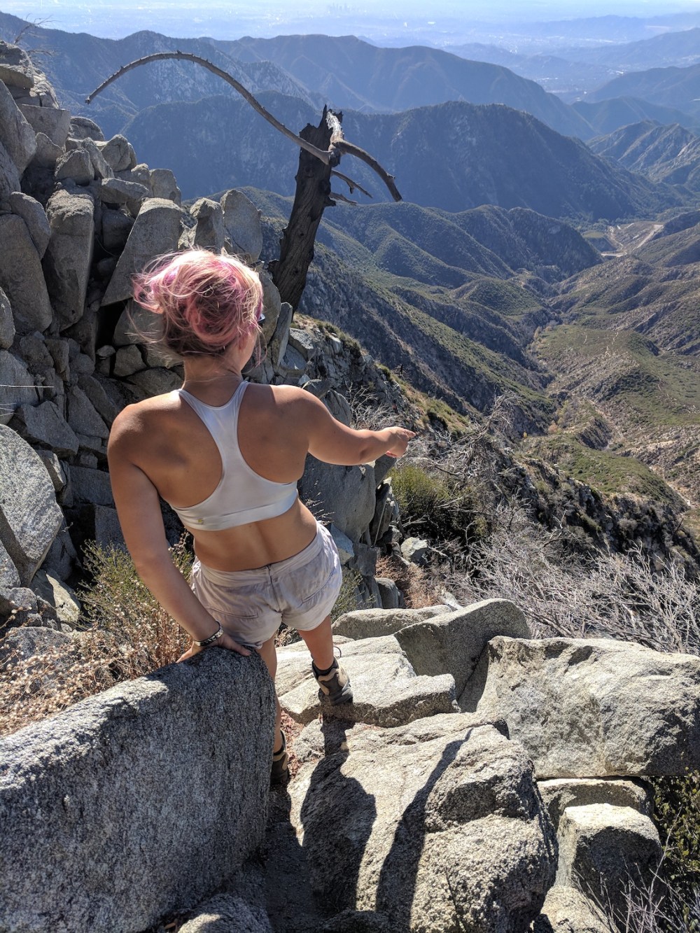
Not looking down not quite an option (and spot the teensy downtown skyscrapers top centre)
Such agility!
One part pain, two parts relief
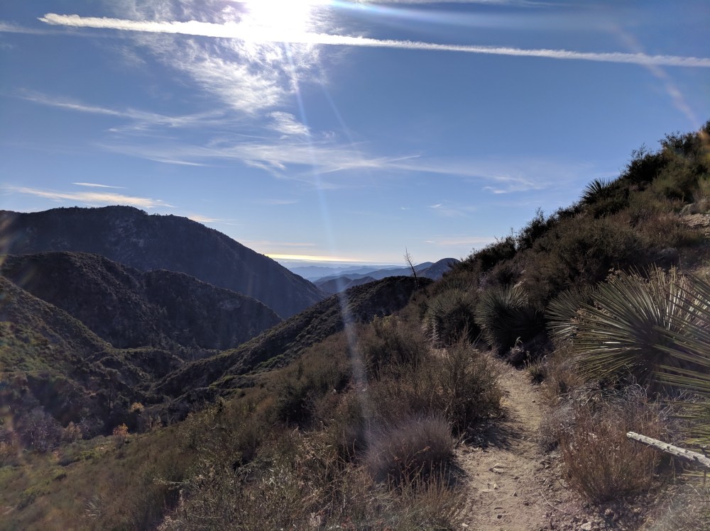
Homeward bound in the 2 pm sun
2:30, and more thanks offered up

One thought on “Colby Canyon to Strawberry Peak”