Distance: 8.8 mile (14.2 km) round trip
Time: about 3.5 hours including lunch
Elevation gain: 1,100 feet (335 metres)
Difficulty: terrain-wise, easy; navigation-wise, easy; fitness-wise, easy
Drive: Andrew Molera State Park car park, 5.5 hours (350 miles) from Pasadena! (up the 5 and the 101 and a little stretch of the 1)
Hiking in Big Sur has a helpful description here
A conference at Stanford gave us an excuse for a trip to the North, and we had time on the way back to squeeze in a cheeky hike in the prettiness of Big Sur. We went for this one for its promise of plenty of big sea views, and it was a lovely choice: well worth stretching the definition of ‘SoCal’ for.
The trail from the car park is the beautifully (if optimistically) named Creamery Meadow trail, and the first task is fording a stream. (Apparently there’s a ‘seasonal bridge’ there when it’s not obstructing trout migration, but the trout must have been on the move when we came.) Take a right to stay on the same trail at the next junction. The sandy track meanders southwest for just under a mile until, just before the beach, the wide grassy Ridge Trail peels off southeast and climbs to the ridge that constitutes the first half of the walk. (The site we used suggested taking the Bluffs Trail first, but we ignored it, I don’t quite remember why.) The later part of the roughly 2.7-mile (4.3 km) stretch is through impressive old woodland. Right at the end point, where it starts curving round towards the sea at the southern boundary of the park, we continued straight to pick our way through a group of trees and, a bit over an hour and a half after setting off, found a secluded picnic spot overlooking the sweep of the bay, coming and going in the sea mists.
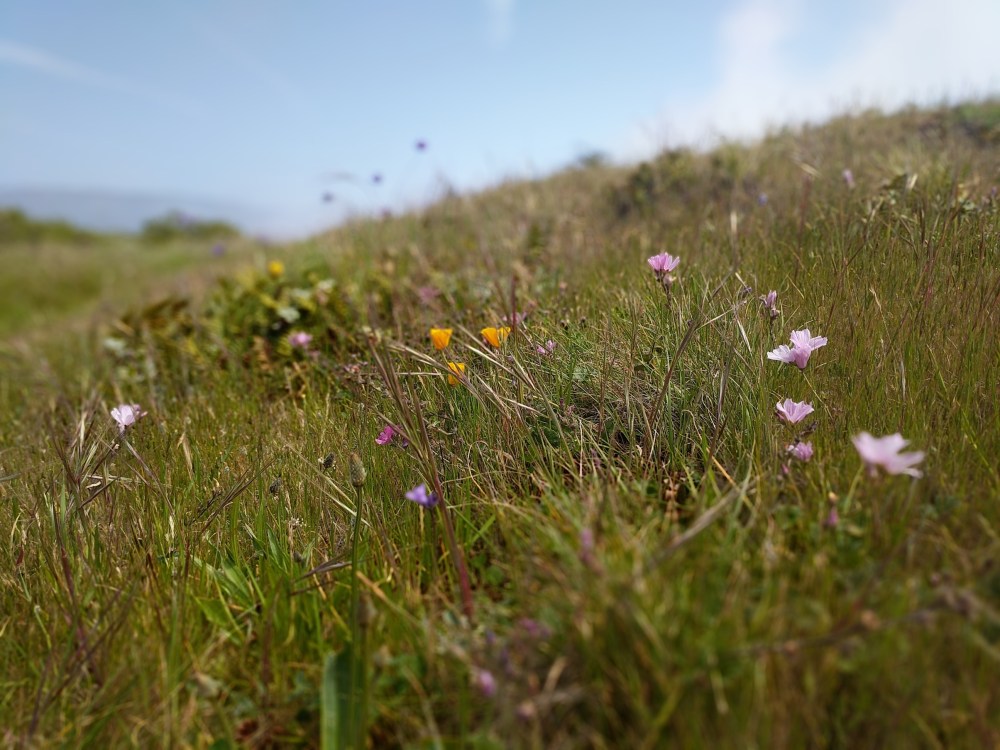
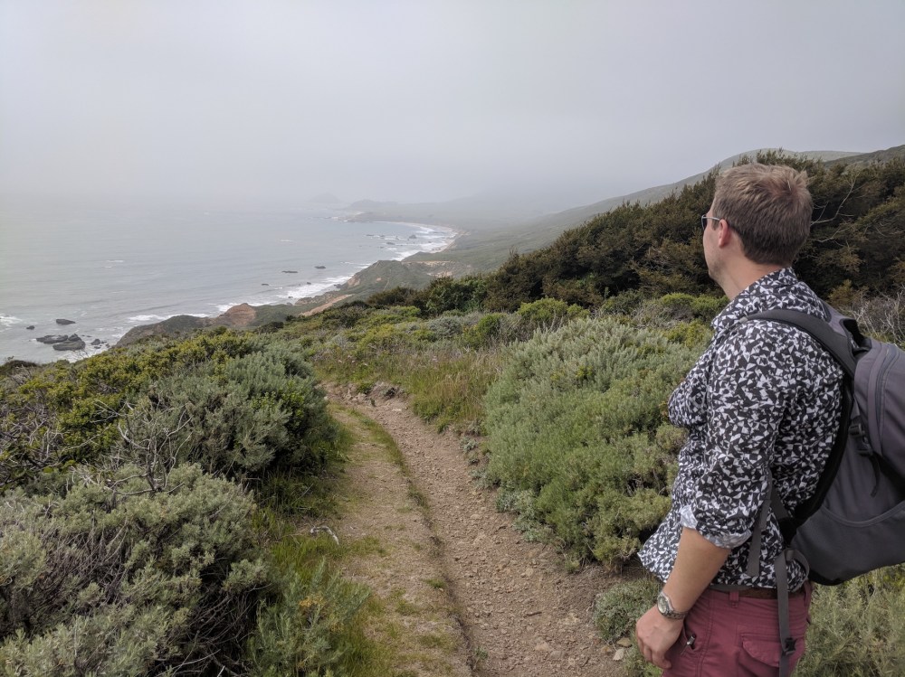
The trail turns into the Panorama Trail, and here, winding up and down through late spring flowers, I felt strongly reminded of the paths I love on the South Devonshire coast of England – especially when the clouds closed in a bit. It’s funny how reminiscent one footpath can be of another despite thousands of miles distance. The Panorama Trail becomes the Bluffs Trail, and there are paths down to little beaches now and then, but we pressed on for the sake of the drive home to LA. Another 3ish miles (just under 5 km) from the southernmost point of the route, turn right back onto the Creamery Trail, or carry on a little further for the Beach Trail which runs parallel to it (you can’t go wrong: all paths lead back to the car park from here), and retrace your steps for the final mile.
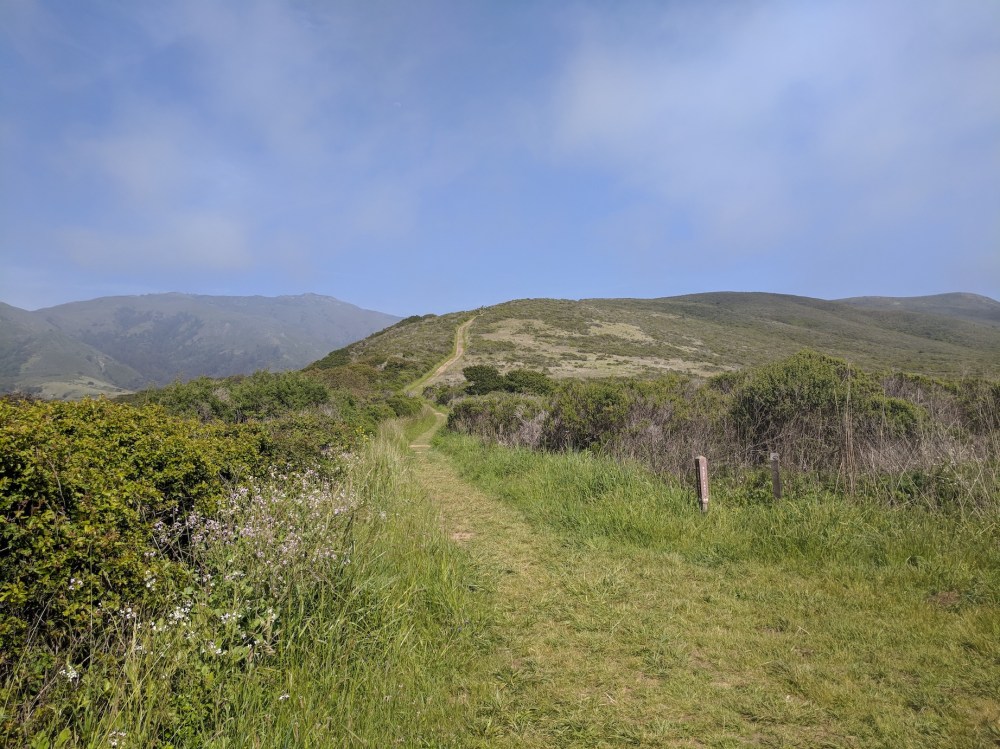
The start of the Ridge Trail.
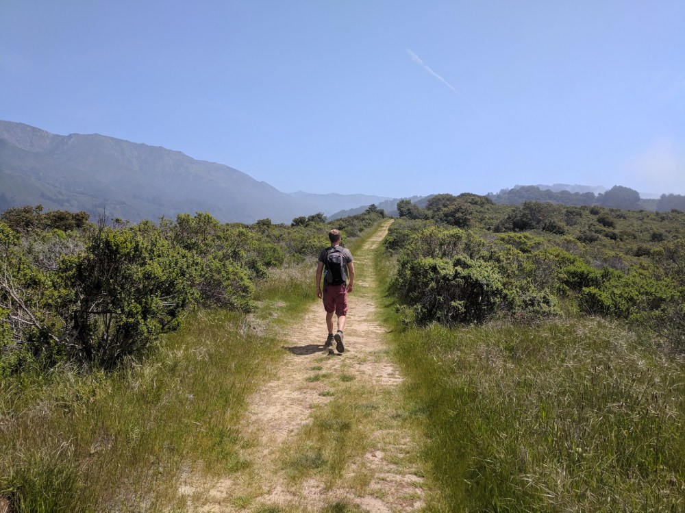
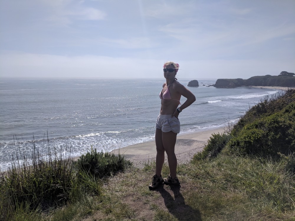
Gorgeous views inland from the ridge.
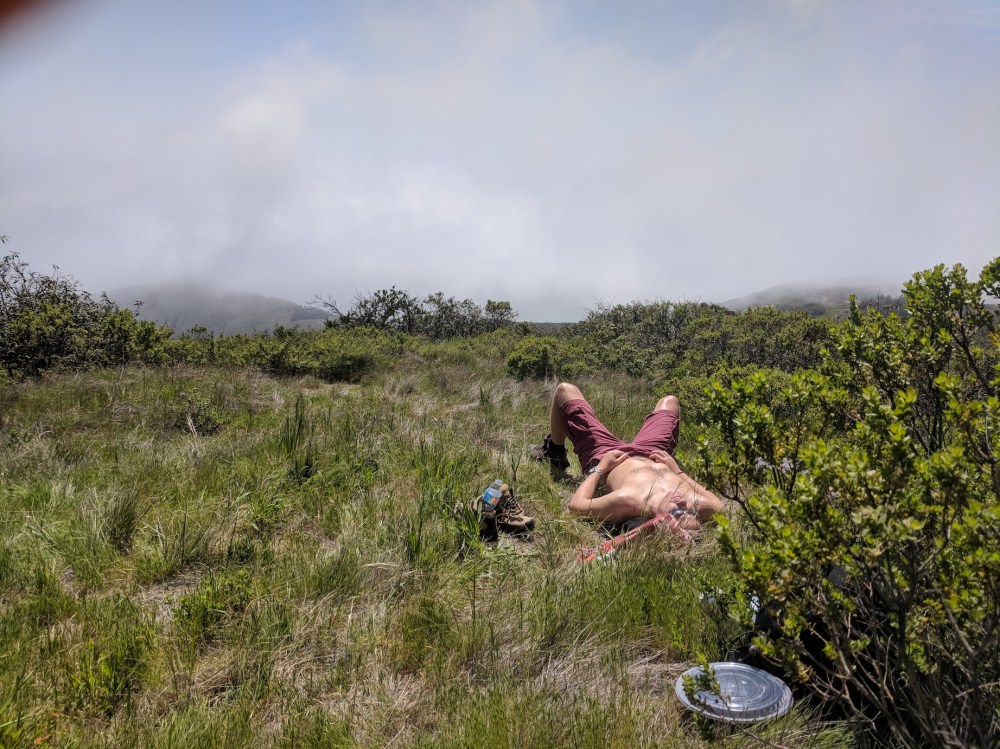
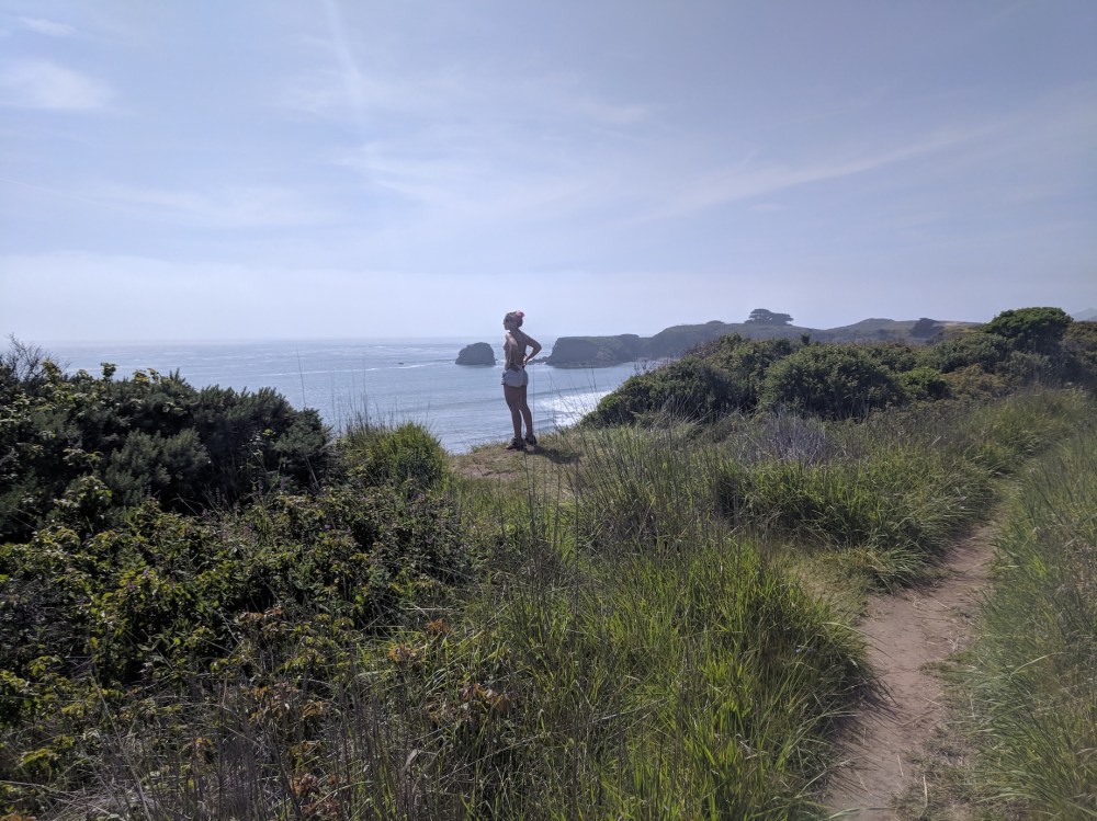
Picnicking!
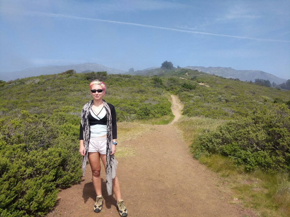
Heading west down towards the sea on the Panorama Trail.
Feeling like Devon.
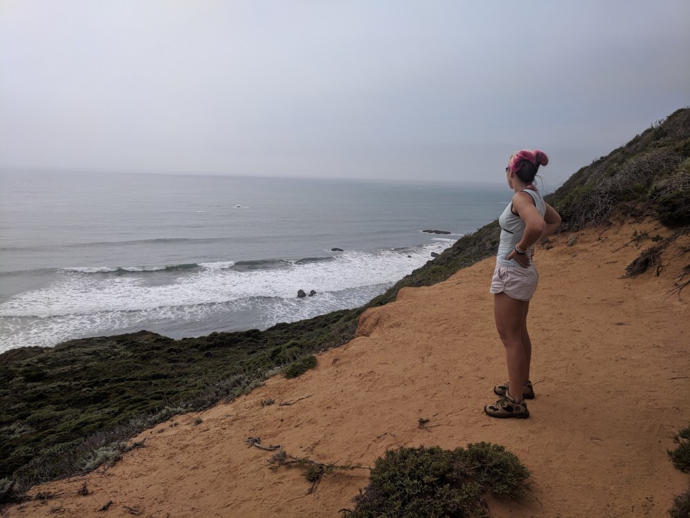
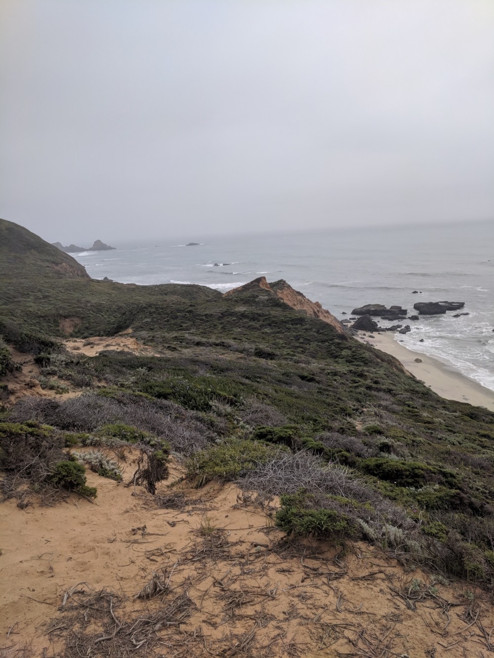
Optional bits of beach along the Bluffs Trail.
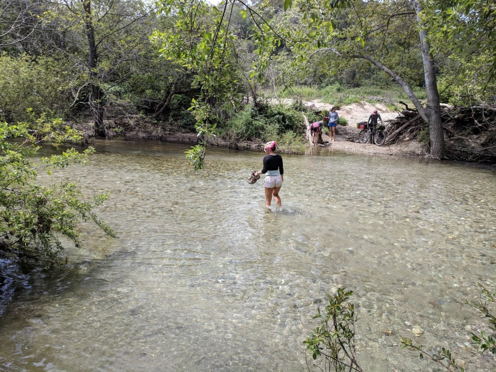
Shoes off for the final crossing.
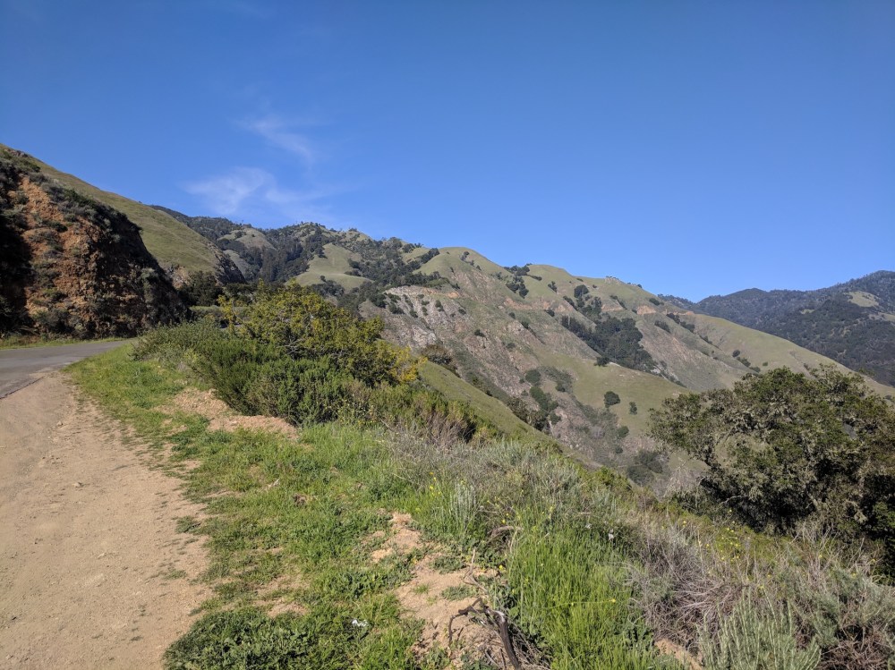

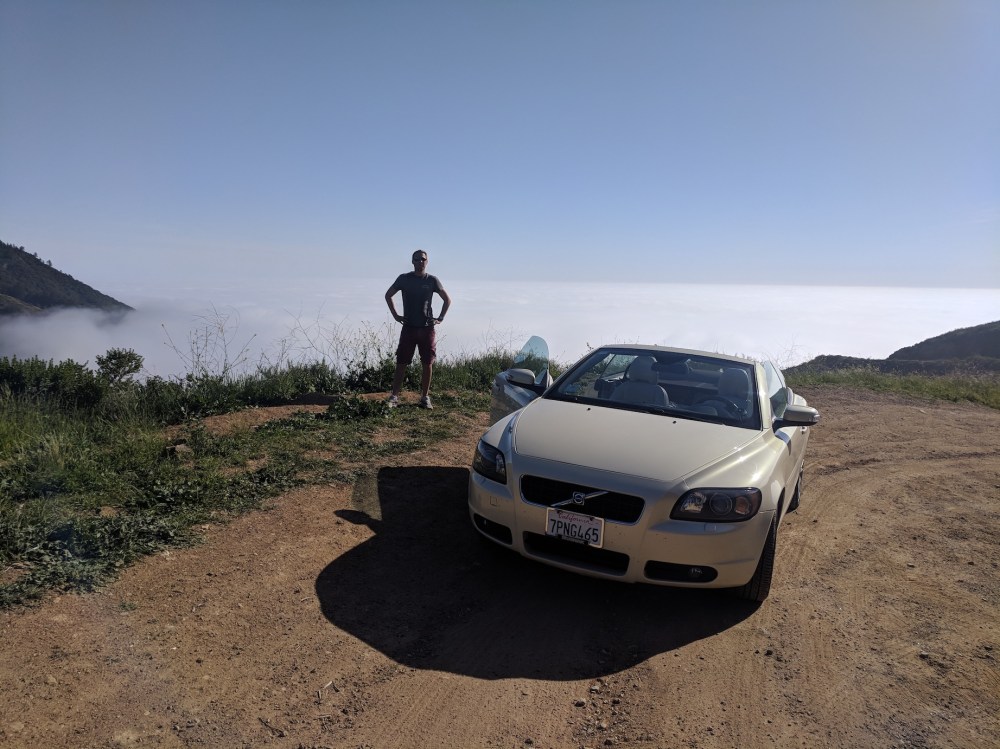
A few shots from the scenic route home, taking the Nacimiento-Fergusson road up through the mountains from the 1 at Kirk Creek, 35 miles south of Andrew Molera on the 1. We had zero sea views along the coast road thanks to the sea fog having properly set in, but it was lovely to get above the marine layer on the winding mountain road.
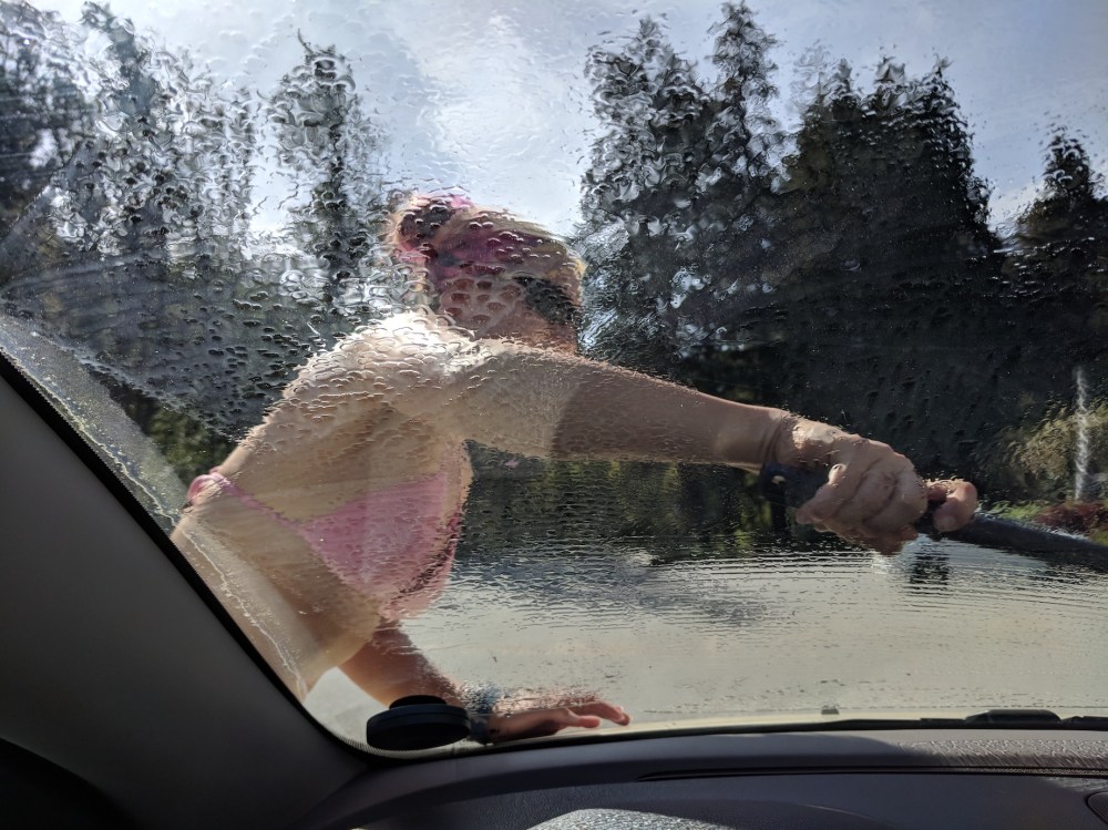
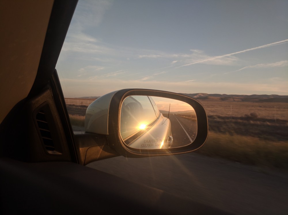
Then a petrol/windscreen stop and a return to the 5 for the final LA-bound leg in the sunset.
