Distance: 12 miles (19.3 km)
Time: 7 hours, including nearly an hour’s picnic stop
Elevation gain: 2,300 feet (700 metres)
Difficulty: terrain-wise, easy-moderate; navigation-wise, easy; fitness-wise, moderate
Recommended season: October–June
Drive: 75 minutes by car from Pasadena old town (we drove there via the 210 and the 14, and back via the 3 (the Angeles Forest Highway) and the 2 (the Angeles Crest Highway); same time but 12 miles longer via the 210)
Trails of the Angeles hike no. 67
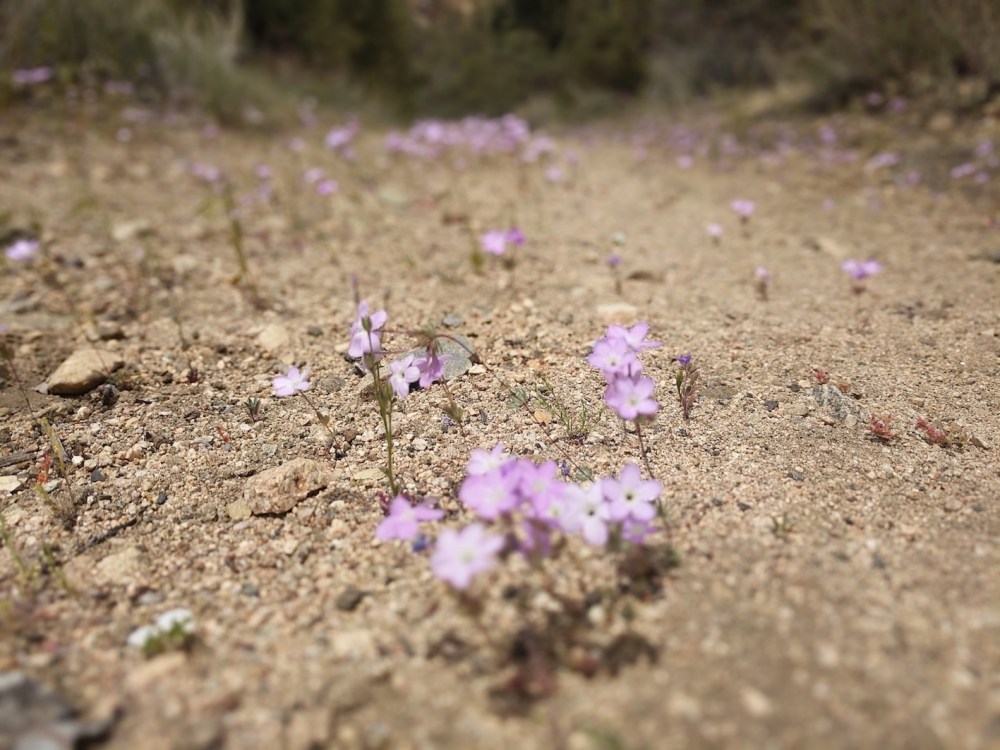
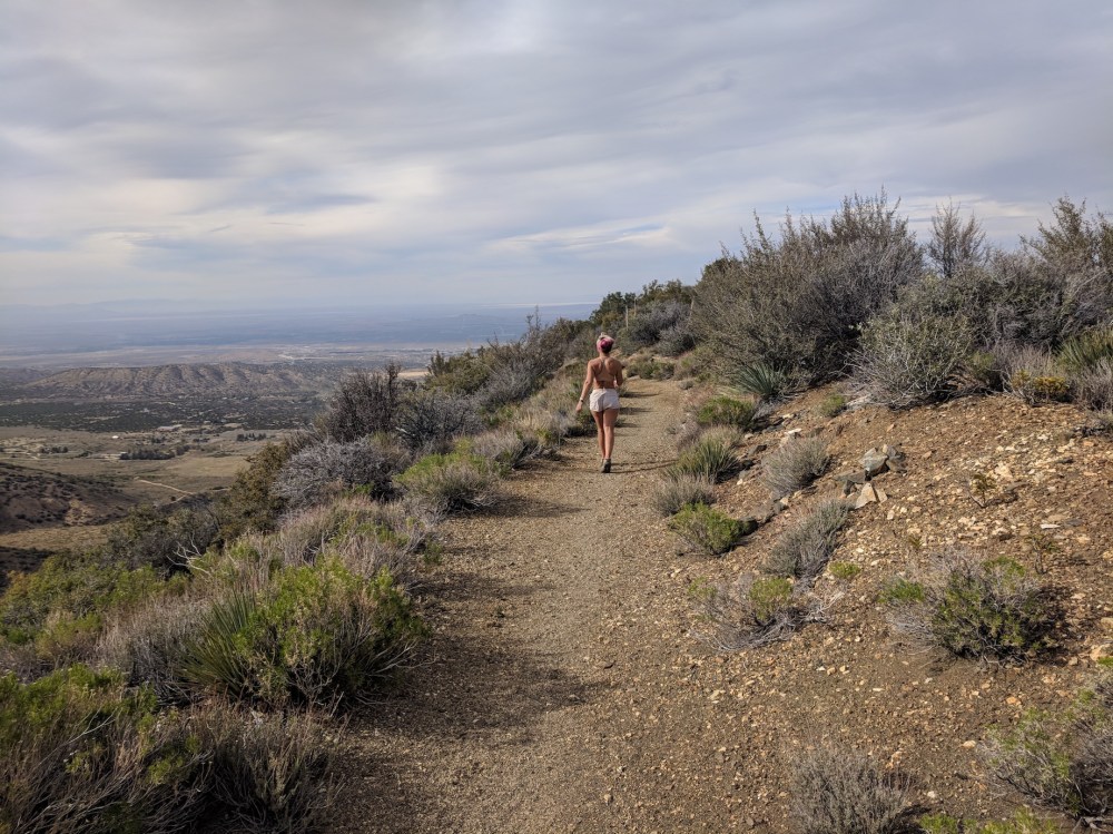
This is a beautiful mixture of desert and alpine terrain, beginning amid the dramatic sandstone formations of the Devil’s Punchbowl and gradually leaving the cacti for spring flowers and pines and ascending to the high Burkhart saddle.
For about the first hour and 20 minutes you skirt more or less on the level along the edge of the foothills rising up out of the desert plains.

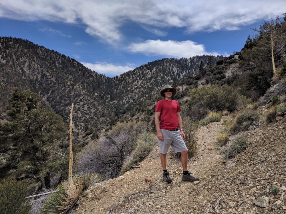
Then you turn and head south, along a valley then up to a ridge and along a high path amid widely spaced pines (wonderful views throughout).
The Burkhart saddle is in view for almost the whole ascent, but views from the saddle itself are a touch underwhelming: we were expecting vistas far south across the mountain range, and actually you can only see into one bowl before other peaks block your view. The mixture of that and the view back over the vast flat plains to the north is pretty lovely, though.
Navigation is dead easy with clearly signed trails, but it looked like the path had been diverted from a previous and more direct route due to erosion, adding an extra descent further into the valley before starting the ascent; this seems to have added about a mile each way, taking the total to a little over 12 miles (rather than the 10 given in the book).
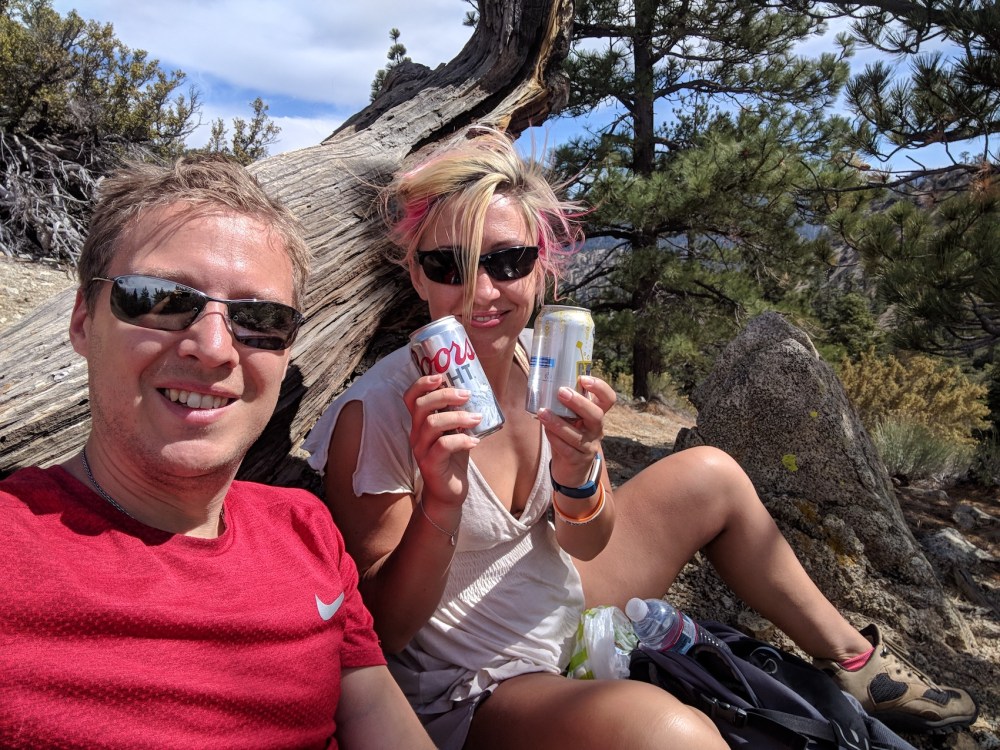
The whole route is well maintained, with just a couple of short stretches across steep patches of scree near the top. There were periodic dramatic howls of contour-funnelled wind, and the wind at the top was fairly constantly strong, but we found a picnic spot just above and to the east of the middle of the saddle where shrubs gave some shelter and seclusion.
(We returned here a year later, approaching from the east on a Pleasant View ridge walk from Mount Williamson, and taking the more southerly portion of the Burkhart trail back down to the PCT and the Angeles Crest Highway.)
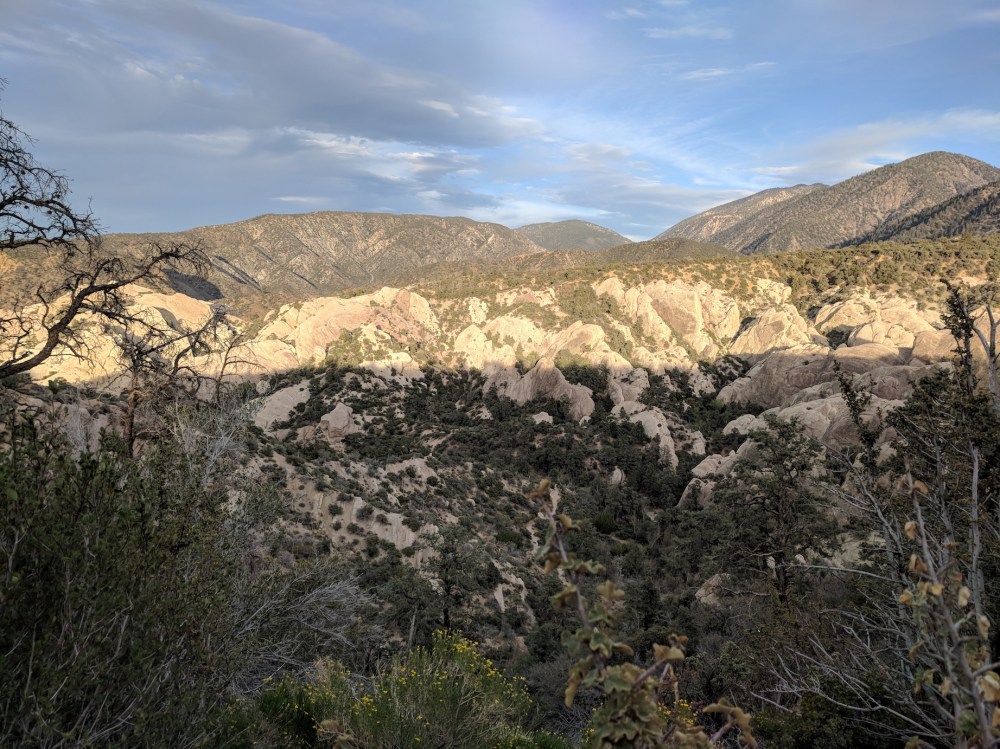
And then, after retracing our steps, there was sunset light and shade on the Punchbowl itself.

2 thoughts on “Burkhart trail: Devil’s Punchbowl to Pleasant View ridge”