Distance: 8 miles (12.9 km) round trip
Time: we took somewhere under 4 hours, including lunch, but Modern Hiker says 5 hours
Elevation gain: 2,818 feet (859 metres)
Difficulty: terrain-wise, easy; navigation-wise, easy; fitness-wise, moderate-difficult (the hairpins are a bit monotonous, but never ultra-steep)
Season: avoid late autumn, winter, and early spring unless you’re equipped for snow
Trails of the Angeles hike no. 81
Modern Hiker describes the route here
This was one of our very first hikes (possibly our second, right after Eaton Canyon, which in retrospect seems like quite an ambitious step up), and long before the days of taking detailed notes of them. The route, in any case, is not complicated. (See here for another simple but much longer approach along the PCT from Islip Saddle.) You park at Vincent Gap, and then you walk up a switchback-heavy section of the PCT to the southeast for 3.5 miles (5.6 km), first through oak and pine forest, by about mile 3 opening up to give better views over the Devil’s Punchbowl and the desert beyond, with some white firs and spindly lodgepole pines framing the views as you ascend. (As Modern Hiker puts it, “Viewed from this elevation, you can really see what a geological freakshow that place is, and how much it sticks out from the rest of the surrounding landscape.” See this hike if you want to explore it in close-up.)
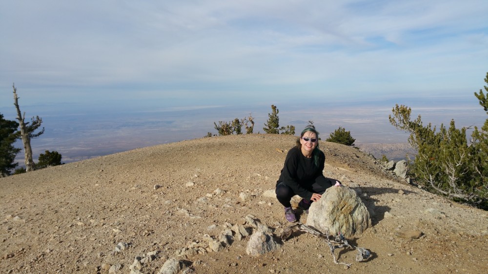
After 3.5 miles you leave the PCT to take an unmarked path continuing south when the PCT curves off to the west (towards Islip Saddle, from where you can also get to Baden-Powell, if you have an extra three hours to play with). Here the terrain and the views suddenly get very dramatic, with a sheer drop opening up on the left, great views of Baldy further off, and ancient gnarly pines to frame it all (one of them, named after a Boy Scout leader “Wally” Waldron, is apparently thought to be the oldest thing alive in the San Gabriels). Carry on along the ridge (about 0.5 mile / 0.8 km in total, from the PCT junction) to the summit, almost as bald as Baldy’s.
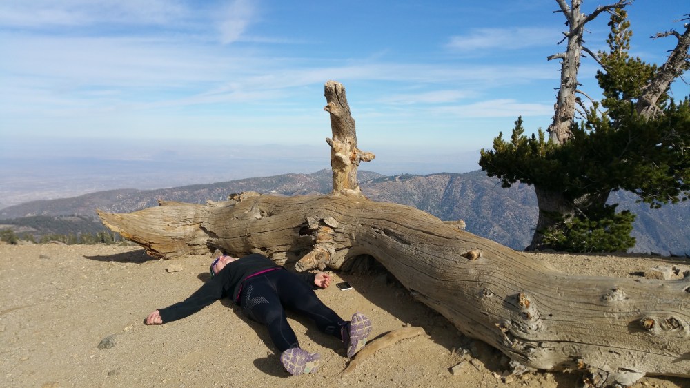
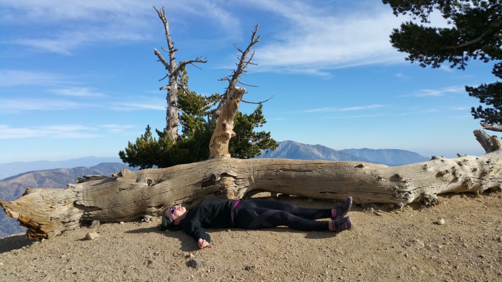
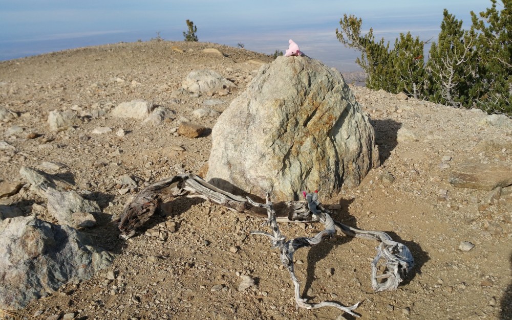
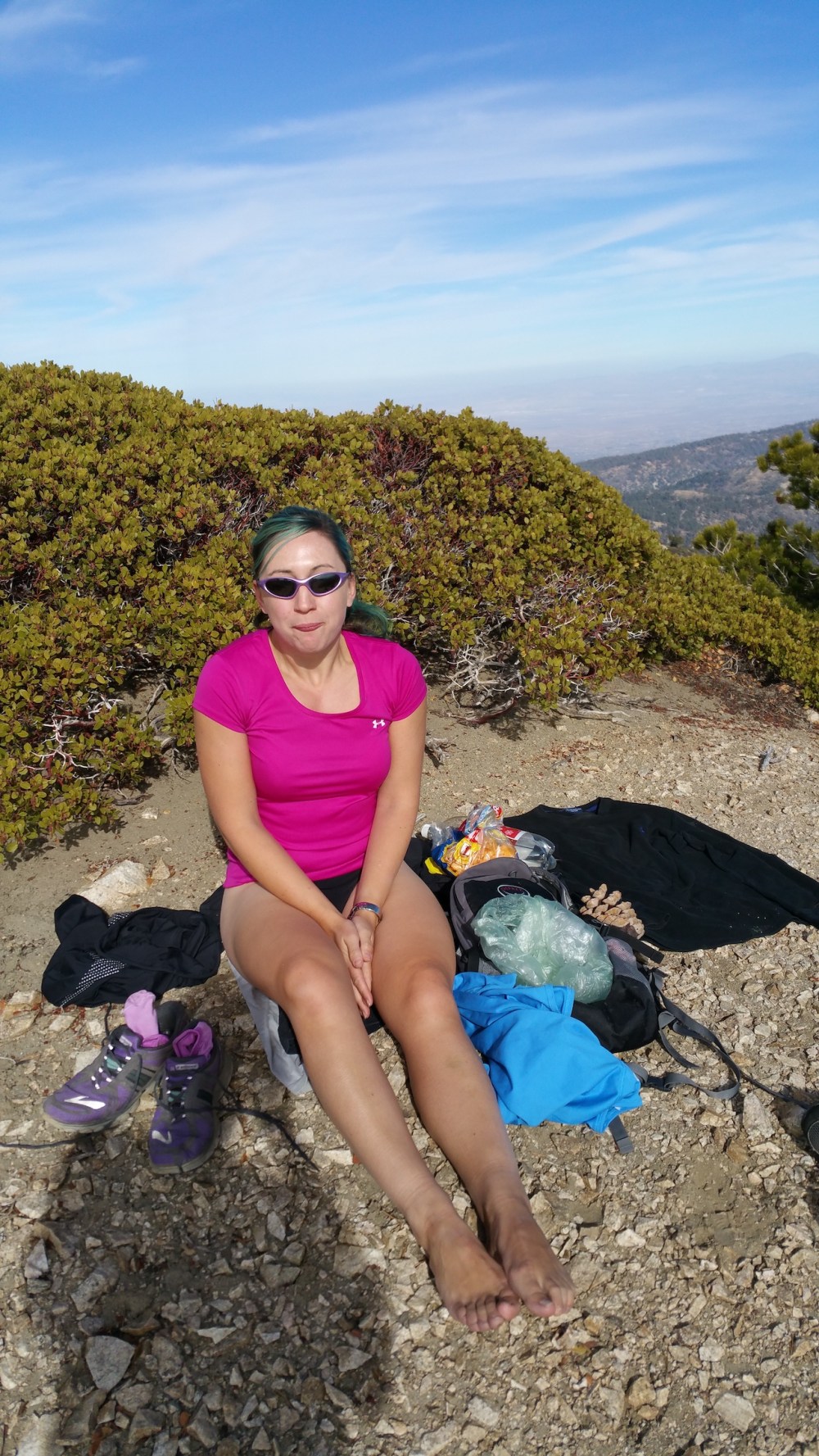
We continued on another few minutes to the south, where the ground starts to descend again and there are plenty of hiding places amongst the undergrowth good for picnicking. It was a distinctly chilly November day at that altitude (9,407 feet / 2,867 metres), but sunny enough to get in a bit of sunbathing close to the ground.
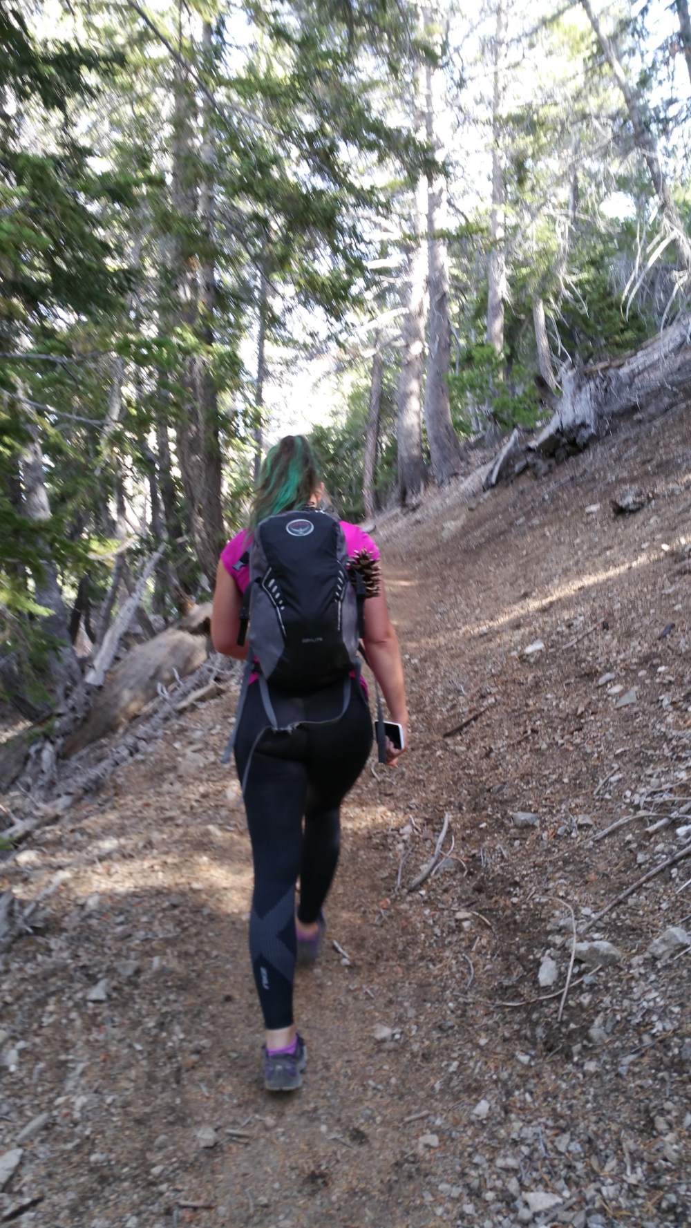
Mid-switchbacking.
Post-switchbacking. (Looking northeast and east.)
Desert to the north.
The Boys also enjoying the views.
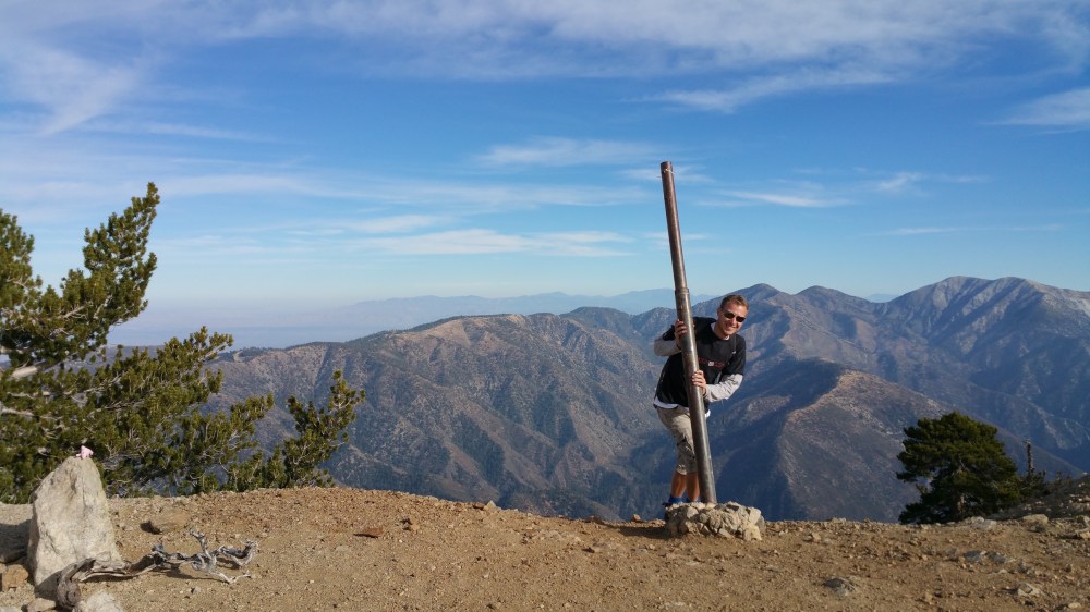
Spot the optimistic Brit abroad.
Looking more the part.

One thought on “Baden-Powell from Vincent Gap”