Distance: 6 miles (9.7 km) there and back
Time: about 2 hours
Elevation gain: 1,325 feet (404 metres)
Difficulty: terrain-wise, easy; navigation-wise, easy; fitness-wise, easy-moderate (depending on the heat of the sun)
Drive: 10 minutes (6 miles) from old town Pasadena, northeast up to the Mount Wilson / Pinecrest gate at the eastern end of the Pinecrest Drive loop (check for weekend parking restrictions around here)
Hikespeak has lots of helpful info here, plus an extension further up the toll road to a loop round the helipad at the top which we haven’t done yet (this adds an extra 2.7 miles / 4.3 km total)
Eaton Canyon is the Altadena playground: early weekend mornings see everyone out, from the joggers to the dogwalkers to the quick family outing, plus the odd hiker heading up to Henninger before continuing northeast on the Mount Wilson toll road up to Wilson (one for the future) or northwest to Mount Lowe via the Idlehour trail. Henninger Flats are a great spot for easy views over the LA sprawl, especially when the evening lights are starting to come on. It was the first hike (well, back then we called them walks) we did after arriving in Pasadena in 2016, encouraged by Chris, the owner of our AirBnB. We could see the radio masts of Mount Wilson from our living-room window, and that view and his enthusiasm combined to make us start venturing into the San Gabriels, which gradually became the tenor of our whole Pasadena life.
There are a number of access options for the Canyon and the walk up to the Flats. You can park at the main Eaton Canyon Nature Center car park at the bottom and follow the trail about a mile along Eaton Canyon trail, following the stream bed of Eaton Wash to a bridge. You can then carry on to the waterfall straight ahead (James has been there, I haven’t; waterfalls are always disappointing, especially in LA!), or climb up onto the bridge for the Mount Wilson toll road to left and right, and turn right here to wind your way up the 2.8 miles (4.5 km) to Henninger.
A shortcut if you’re starting at the Nature Center is the Walnut Canyon trail on your right half a mile up the Wash, which shaves off a mile or so each way.
Or you can park near the Midwick Drive / Henninger trailhead gate and walk 0.2 miles (0.3 km) down to the Eaton Canyon trail, joining it about half a mile from the bridge, just past the Walnut junction.
Or you can park near the Pinecrest gate, the official start of the toll road, and walk down the slope and over the bridge. (On the left before the junction there’s a turning for the Altadena Crest trail, which is a nice option for winding your way northwest along the boundary between mountains and suburbia.) This is the best option if, like me, you want to skip the valley stuff and get up to the views as quickly as possible.
The winding track up the south-facing slope gets pretty hot if the sun is high, but that’s all part of the pleasure and the point of LA hiking, especially for chronically sun-deprived Brits.
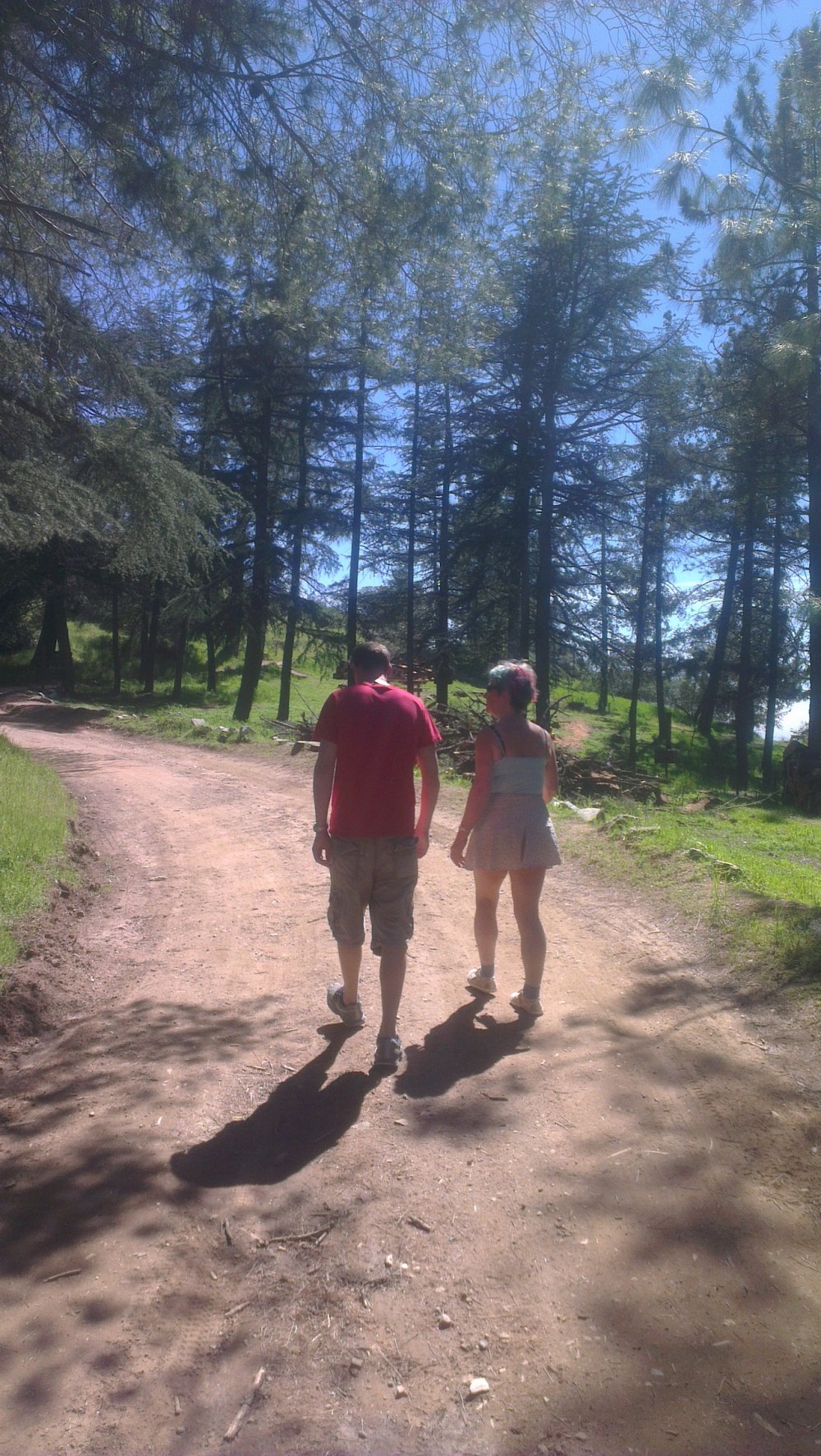
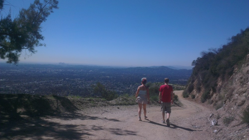
Here’s a selection of shots from a few different occasions (spot the increasing camera quality!), with different companions.
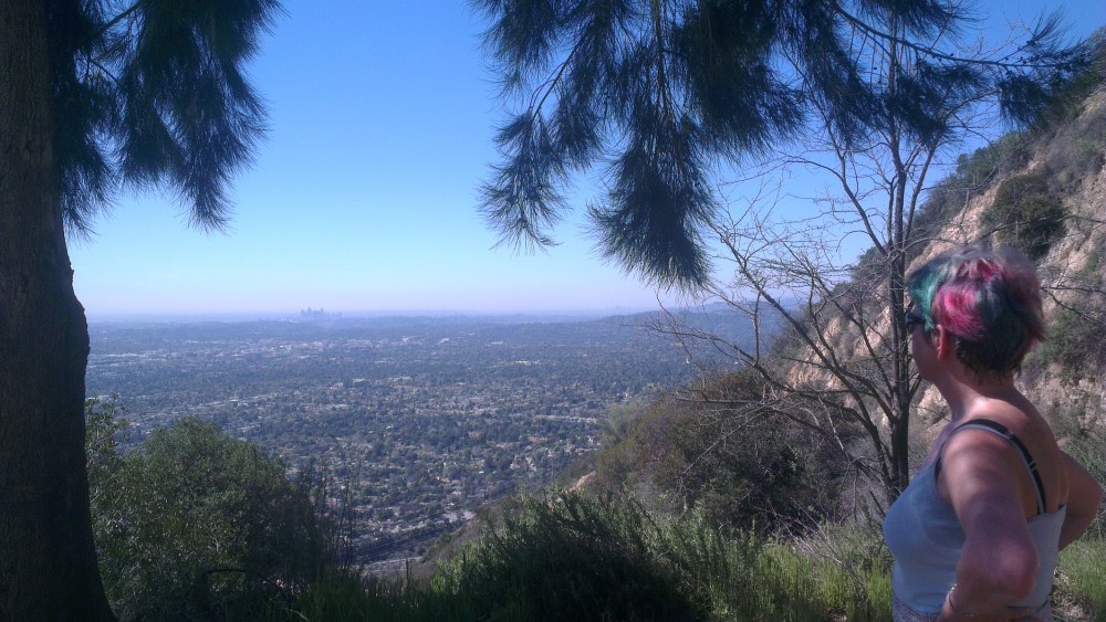
My mother Sue enjoying some shade, and possibly the views.
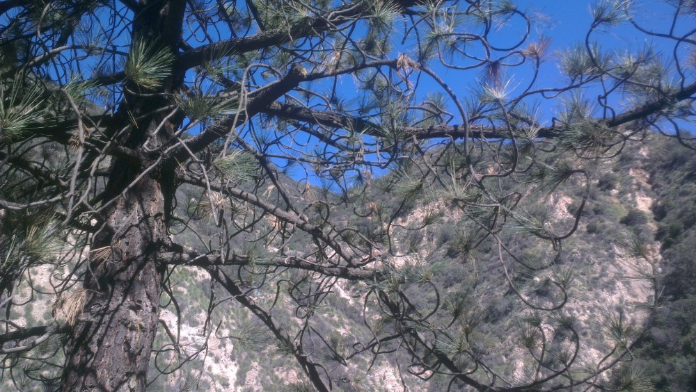
The leafier stretch up at Henninger.
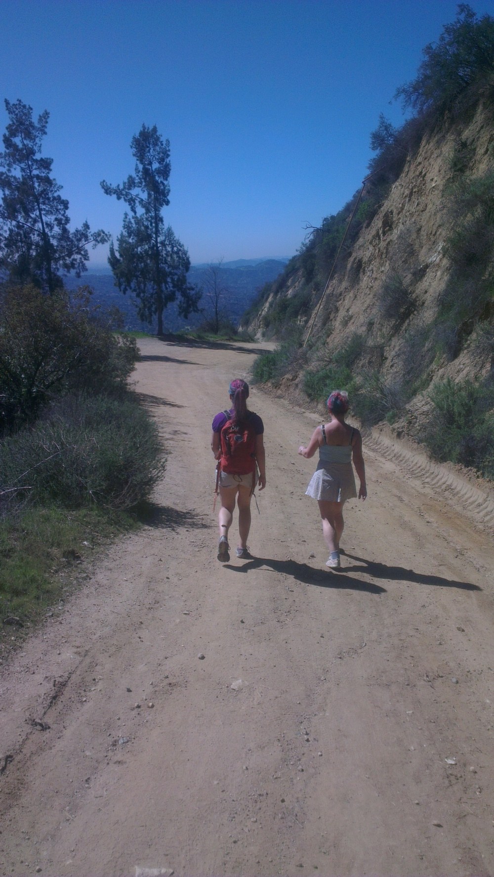
Two purple-haired women enjoying the stroll back down.
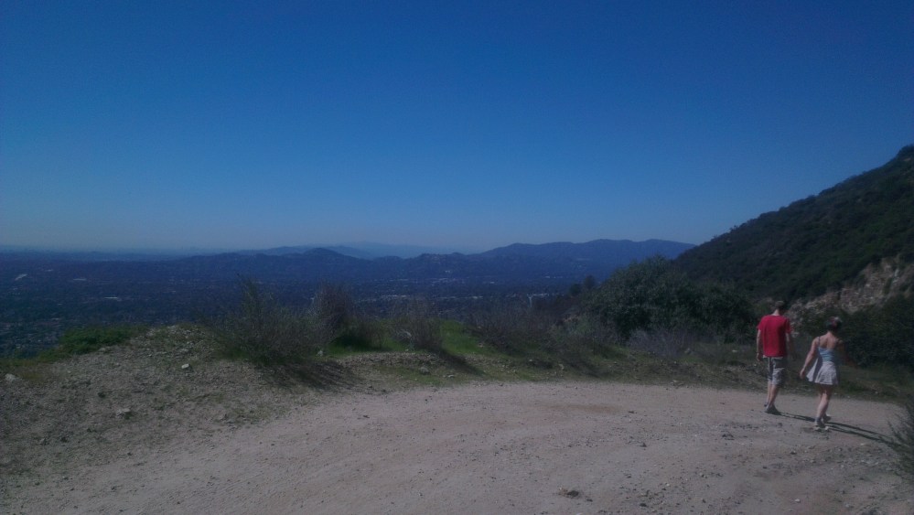
Views opening up to the Verdugos to the west.
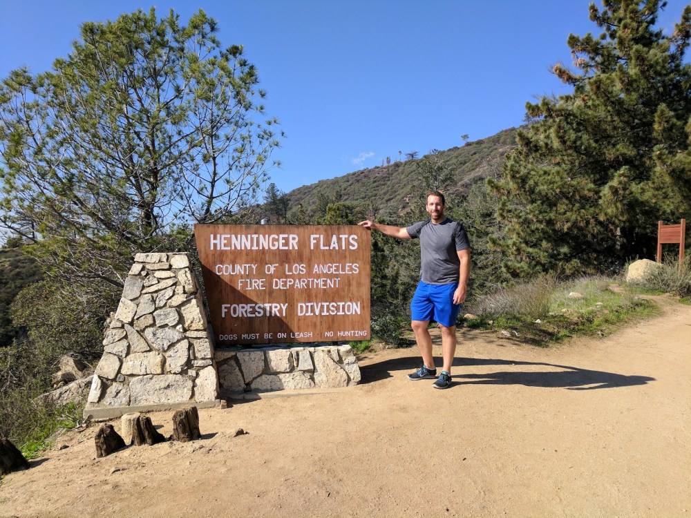
Nik shows off the sign.
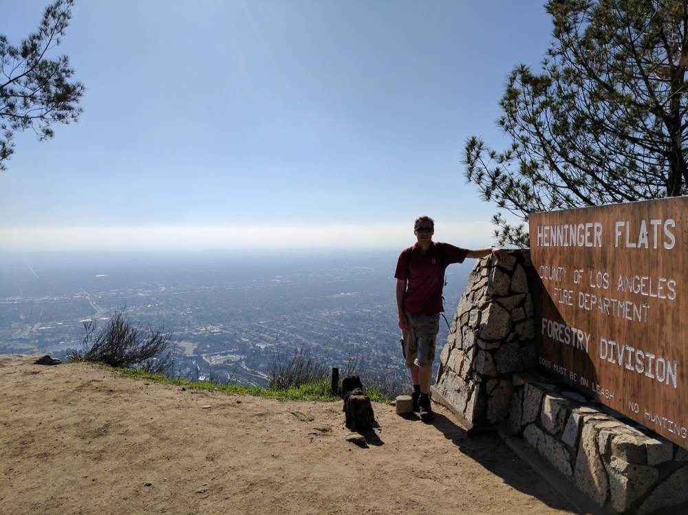
As does James.
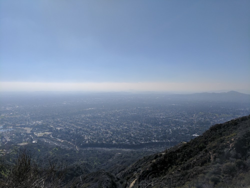
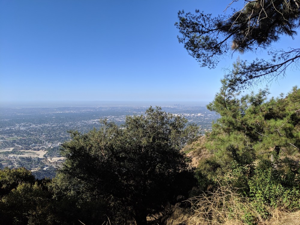
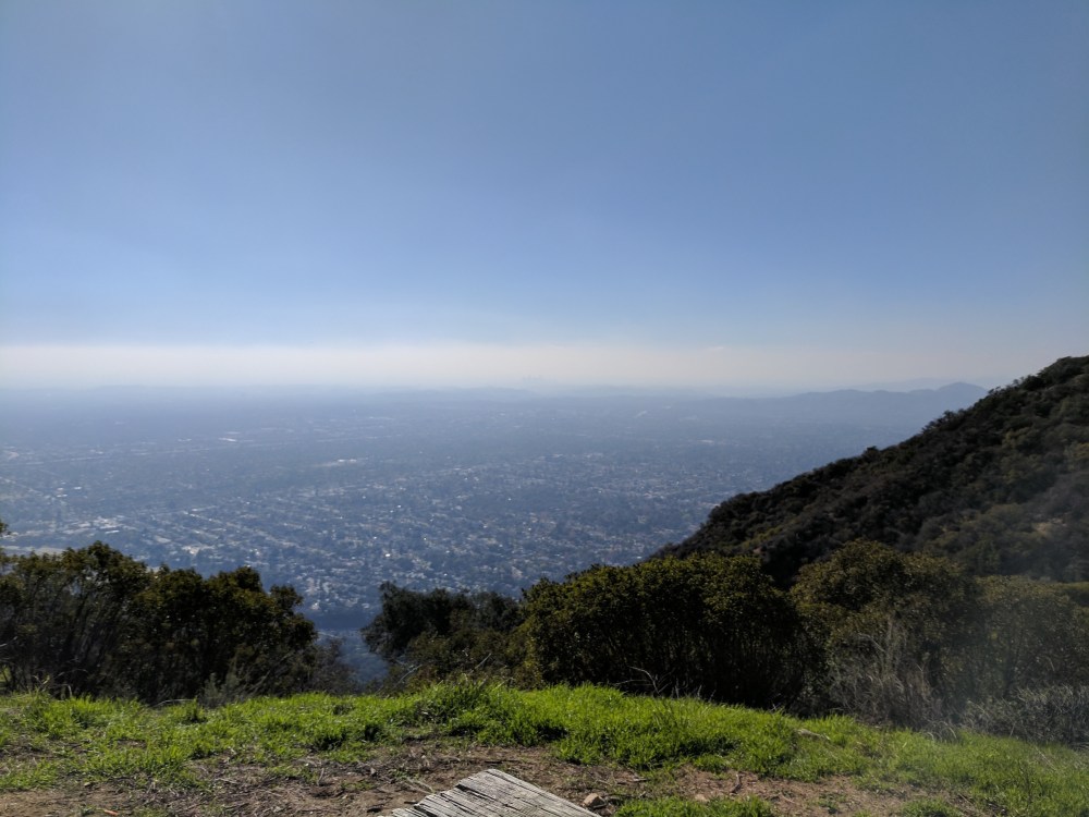
A selection of city views from the lookout benches. The question always is: is the haze too thick to obscure the downtown skyscrapers?

2 thoughts on “Eaton Canyon”