Distance: 16 miles (26 km) there and back
Time: 7 hours including short breaks, excluding lunch
Elevation gain: 3,200 feet (975 metres)
Difficulty: terrain-wise, mostly easy; navigation-wise, easy; fitness-wise, difficult (just in terms of stamina!)
Drive: 65 minutes (46 miles) from central Pasadena, north on the 210 and east on the 2 (Google Maps suggested east on the 210 and north on the 39, but the latter has been closed above Crystal Lake since 1978!)
Modern Hiker describes the route here
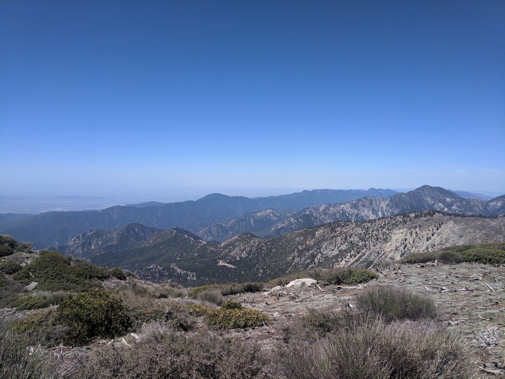
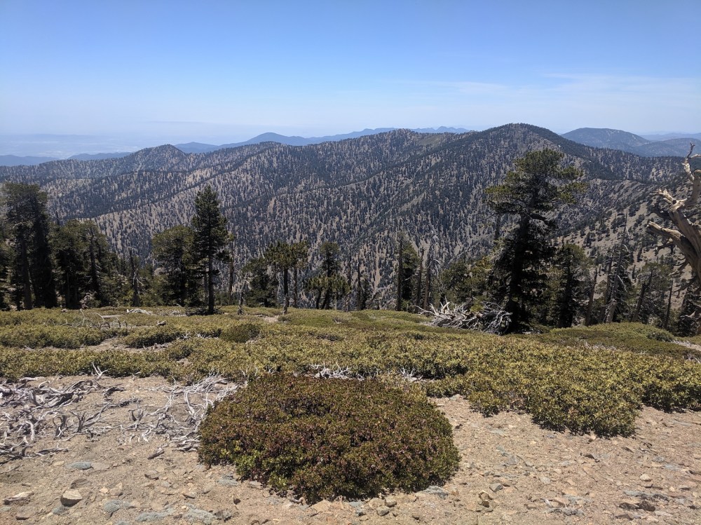
This was and remains the longest day hike we’ve done in the San Gabriels. It is utterly beautiful. It follows the Pacific Crest Trail for all but the final Baden-Powell ascent, and it’s a much more undulating alternative to the standard switchback-heavy way up from Vincent Gap. In all this High Country territory, I love how the two-way views south over LA and north to the Mojave are with you so much of the time: it makes you feel really on top of the world.
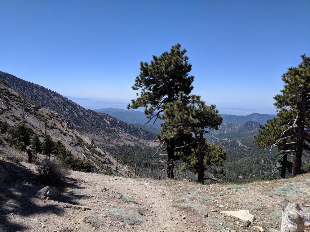
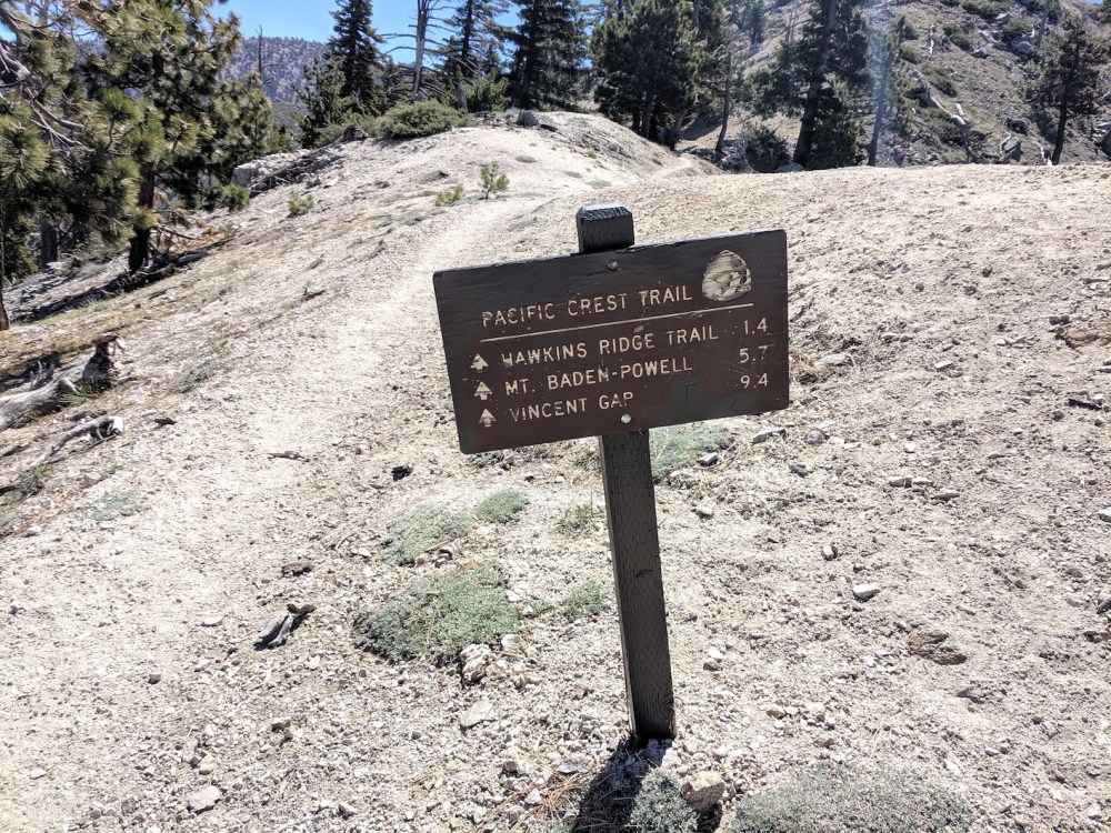
From the car park, cross the road and join the PCT on the south side of the Angeles Crest Highway. Within a few minutes, you’re enjoying the desert views to the north. Then the trail enters pine forest, and stays in it past Little Jimmy Campground (2 miles / 3.2 km in) to Windy Gap (2.4 miles / 3.9 km, 55 minutes), where views over south and east LA open up.
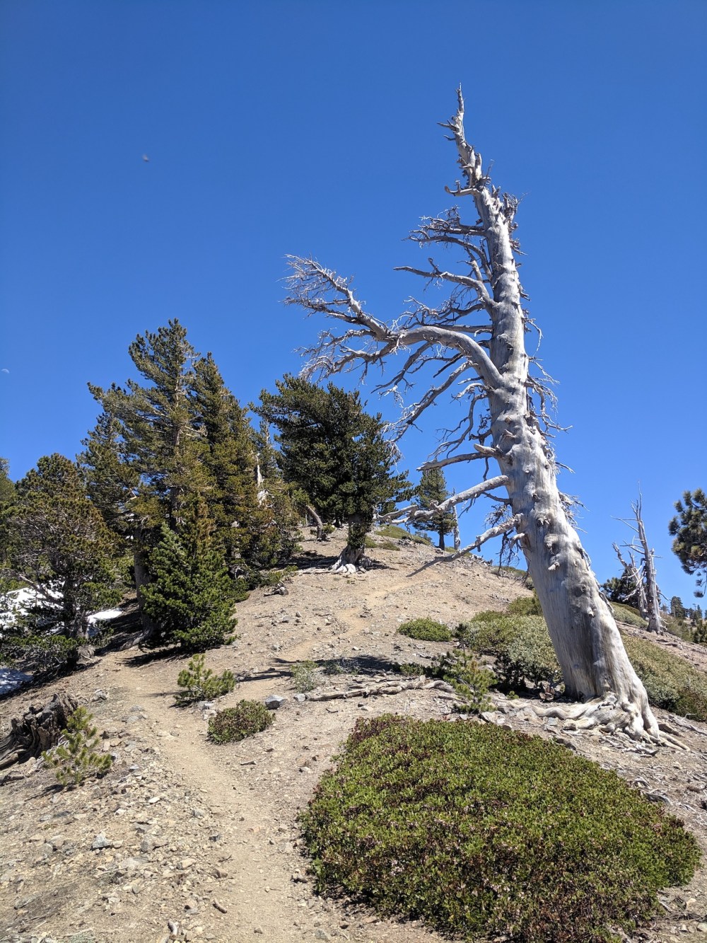
Then the trail hugs the north side of Mount Hawkins to a junction with the Hawkins Ridge trail (3.9 miles / 6.25 km, 1 hour 40 minutes). The Hawkins ridge is a lovely area to explore, but not for this time! Then the trail curves round the south and east of Throop Peak (about 4.7 miles / 7.5 km and 2 hours). Another peak to sensibly resist!
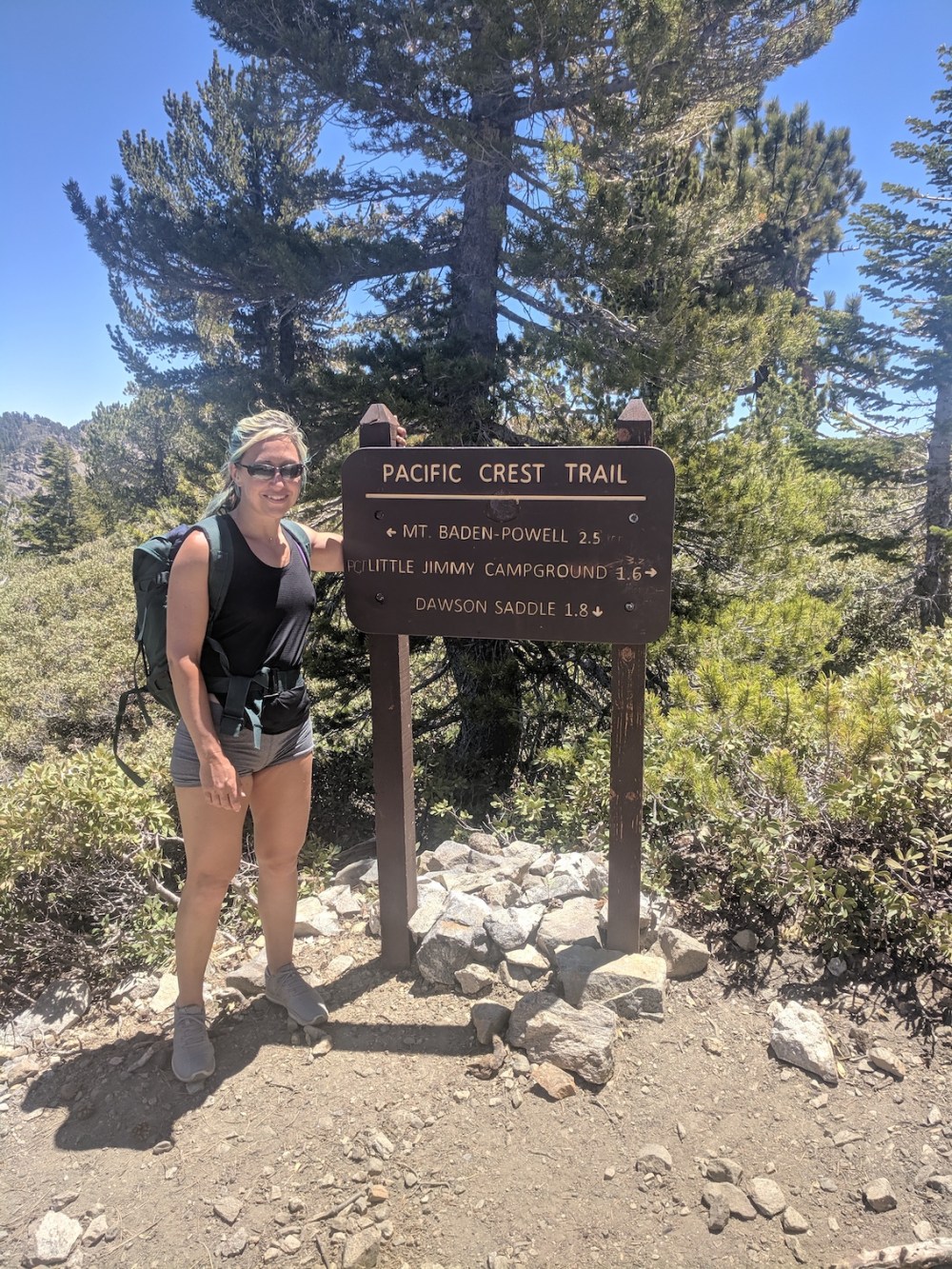
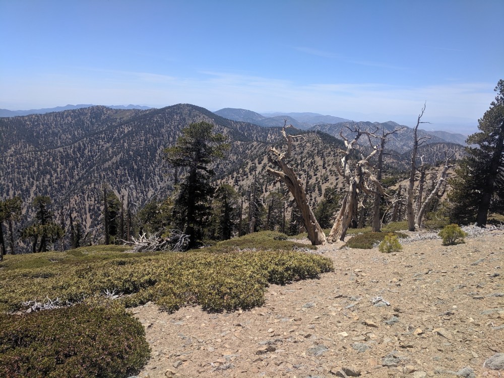
The PCT then follows the ridge northeast-ish through Sheep Mountain Wilderness (one day we’ll see a fabled bighorn sheep) towards Baden-Powell. There’s a descent of 300 or 400 feet just after Throop, and then you start the final ascent of 1,000 feet or so about 6.1 miles (9.8 km) and 2 hours 45 minutes in. At 7 miles (11.2 km) you skirt Mount Burnham, originally known as the West Twin to Baden-Powell’s East Twin, and collectively referred to as “North Baldy Mountain”. At 7.6 miles (12.2 km) you reach the junction with the summit trail, and turn right for the last 0.2 mile climb out of the light tree cover onto the bald pate of Baden-Powell. As on our first time up here, we hurried past the peak (this time complete with summer hordes), and we found ourselves a more dramatic picnic spot than last time, above a vertiginous scree slope just south of the summit. This was 18.5 miles (13.7 km) and 3 hours 55 minutes from the start, by my watch.
We were an hour faster on the way back, getting back to the junction with the Dawson Saddle trail (just east of Throop) at 5 hours and 11.4 miles (18.35 km), to Hawkins Ridge junction at 5 hours 35 (12.9 miles / 20.8 km), and to Windy Gap at 6 hours (14.3 miles / 23 km). The last gentle descent through the woods from Windy Gap was only 50 minutes, but felt like a long time and distance. By this point, my feet were starting to tiredly complain. But there’s nothing quite like walking in sun-drenched high country for hours and hours to make your heart sing.
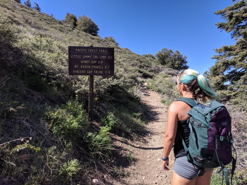
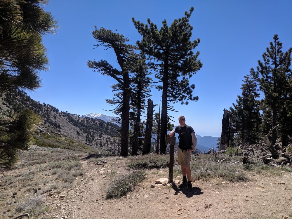
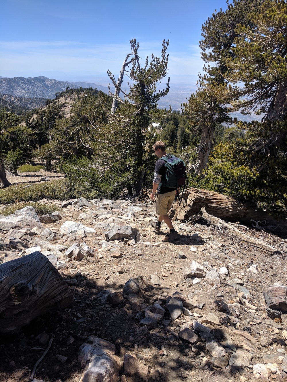
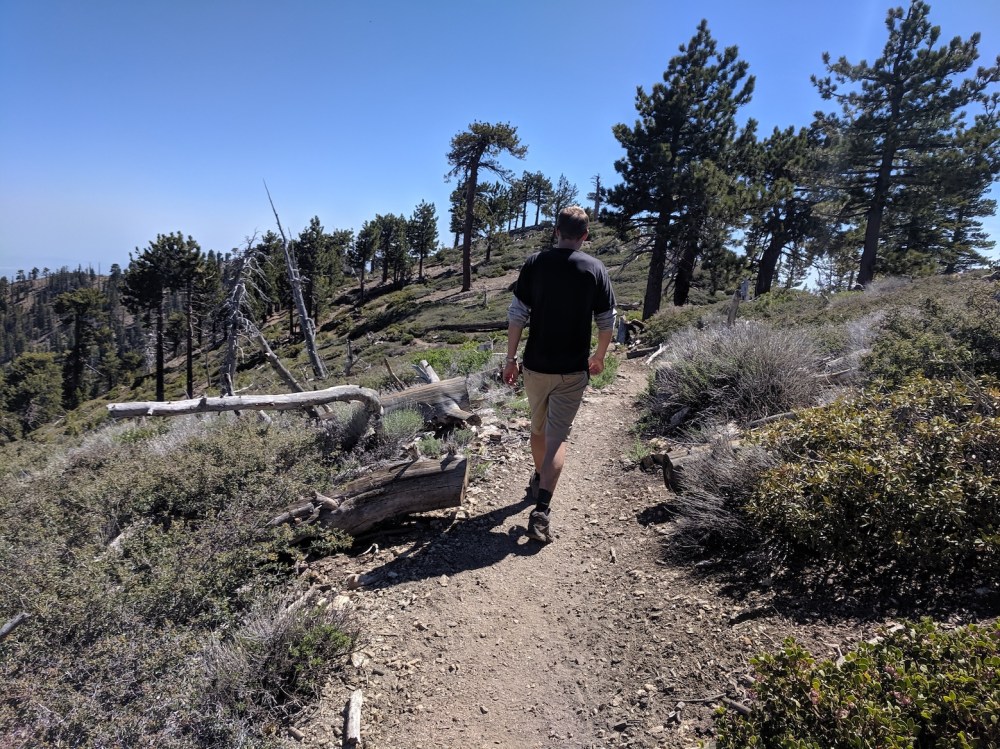
The start of the route, just above the PCH. 8.1 to BP!
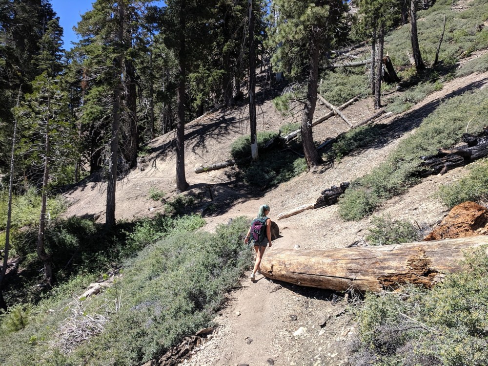
Tree-trunk-dodging 45 minutes in.
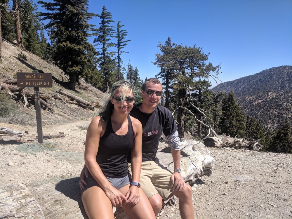
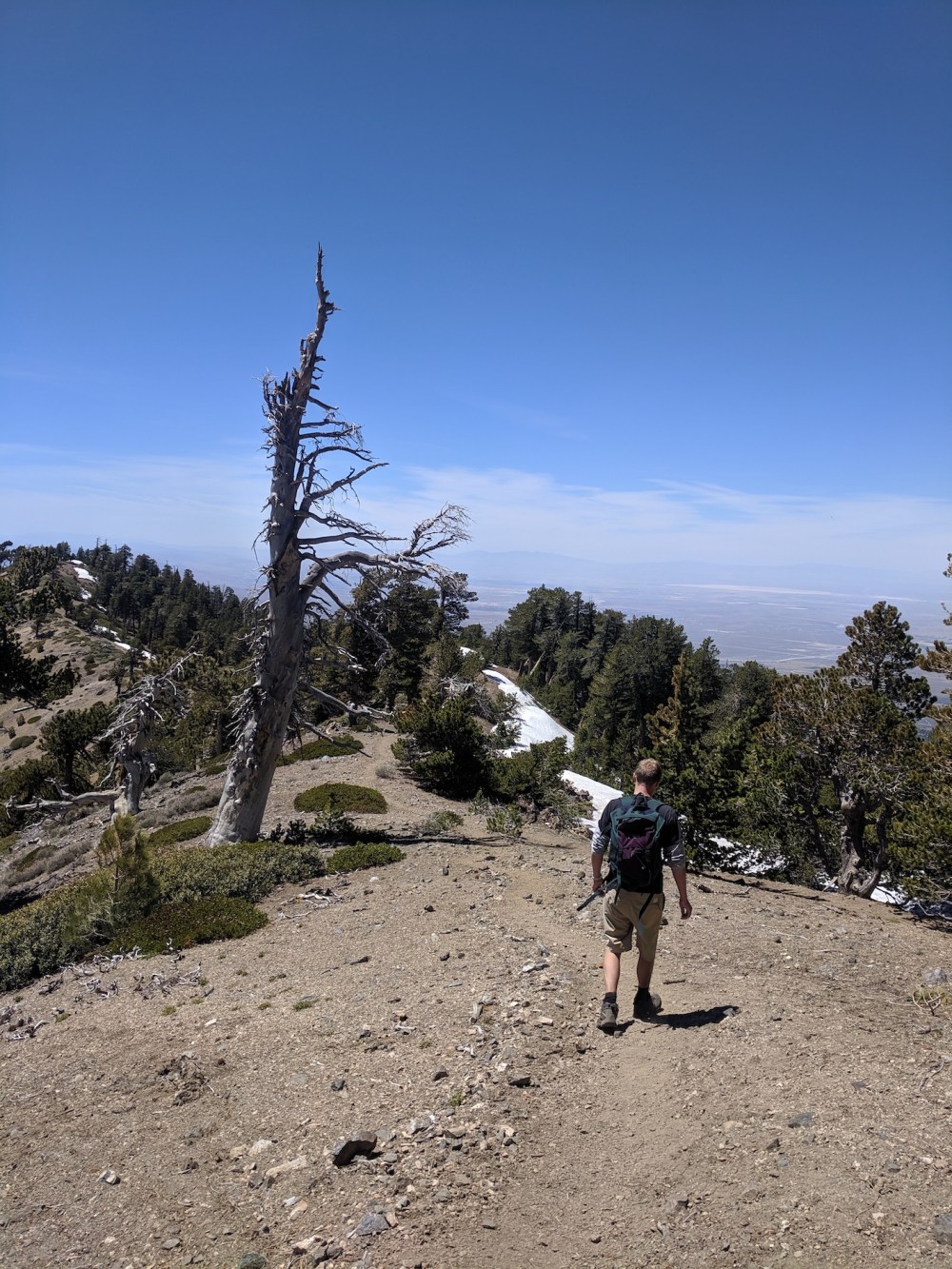
Windy Gap with views to the south…
…and a more handily placed tree trunk.
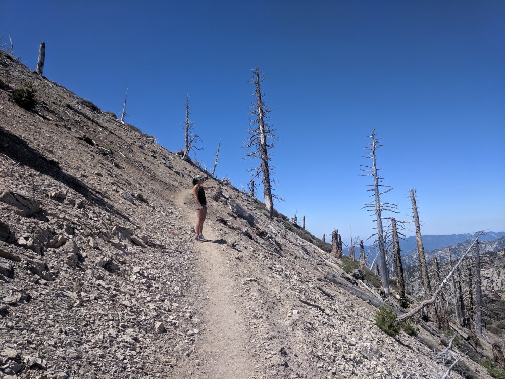
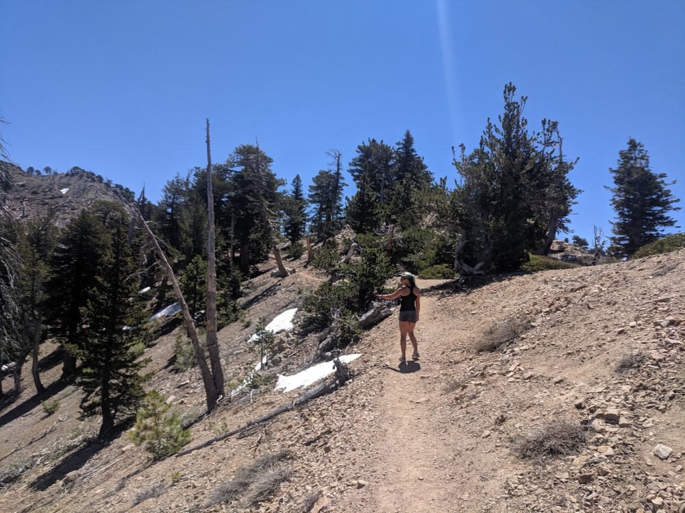
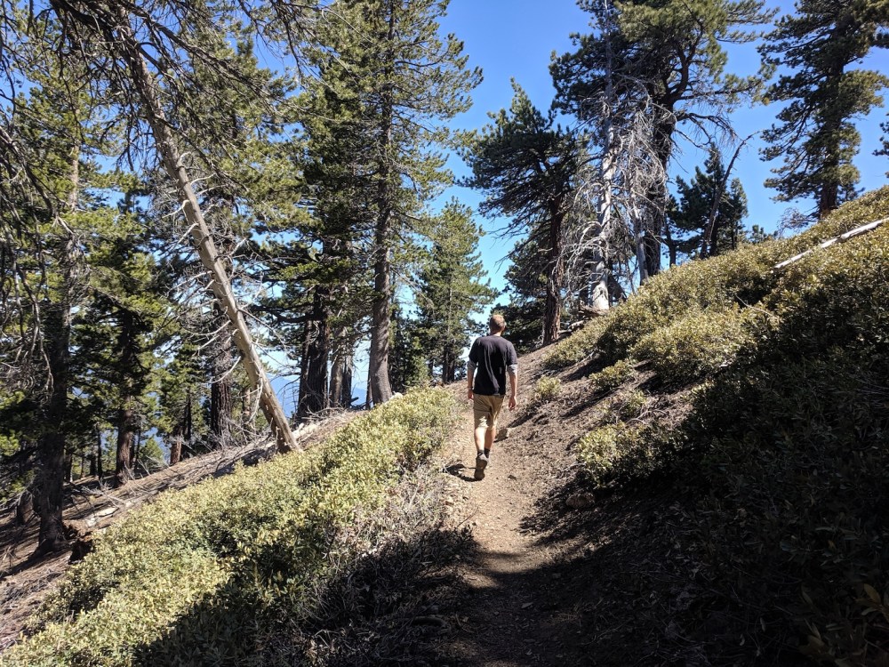
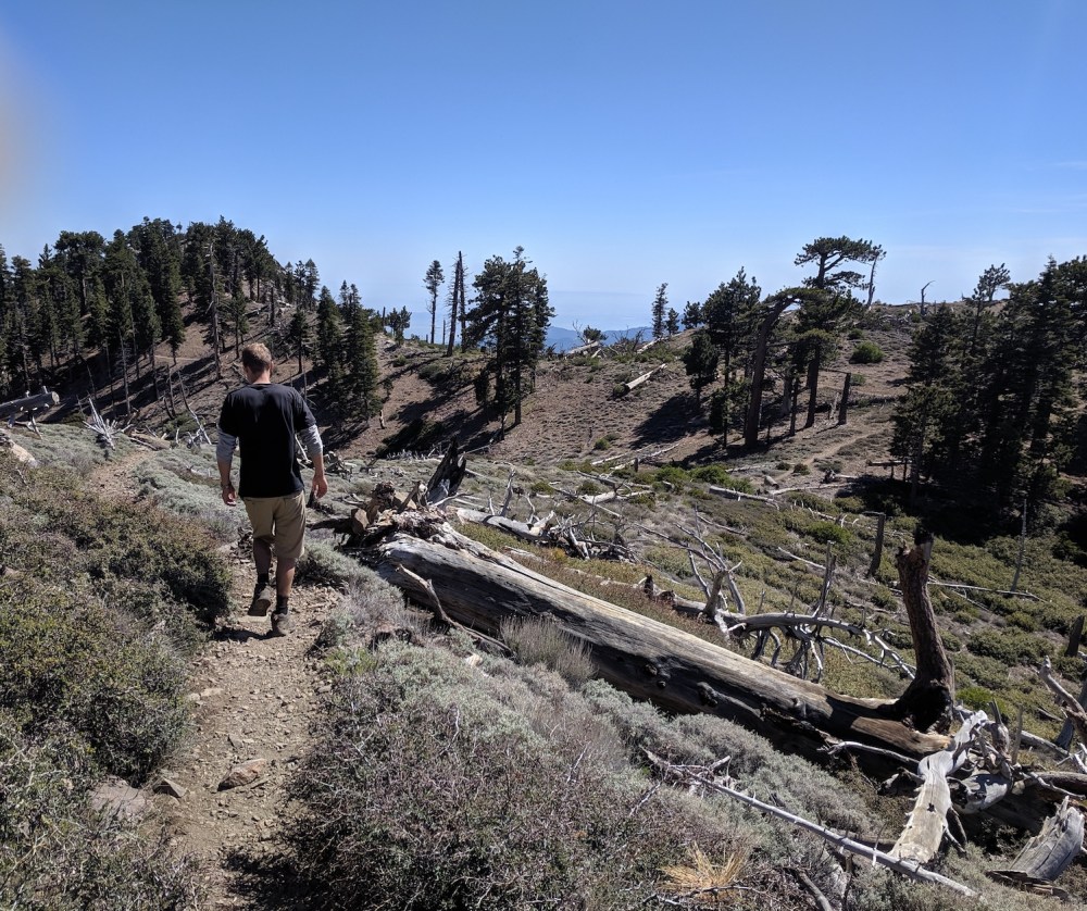
Onwards.
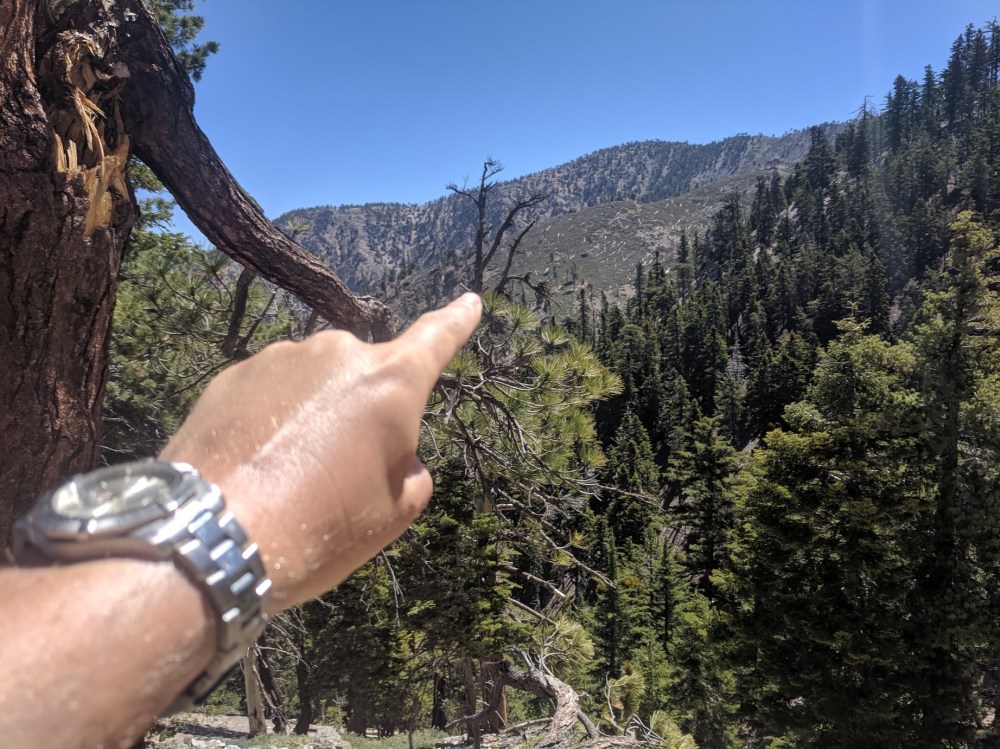
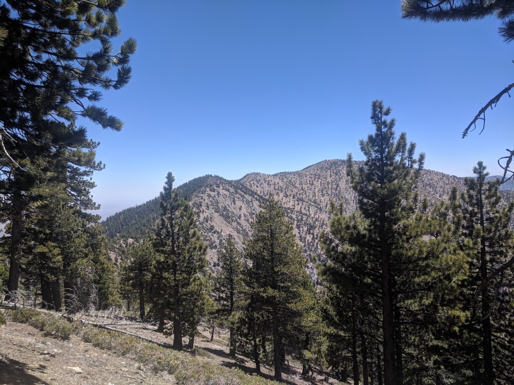
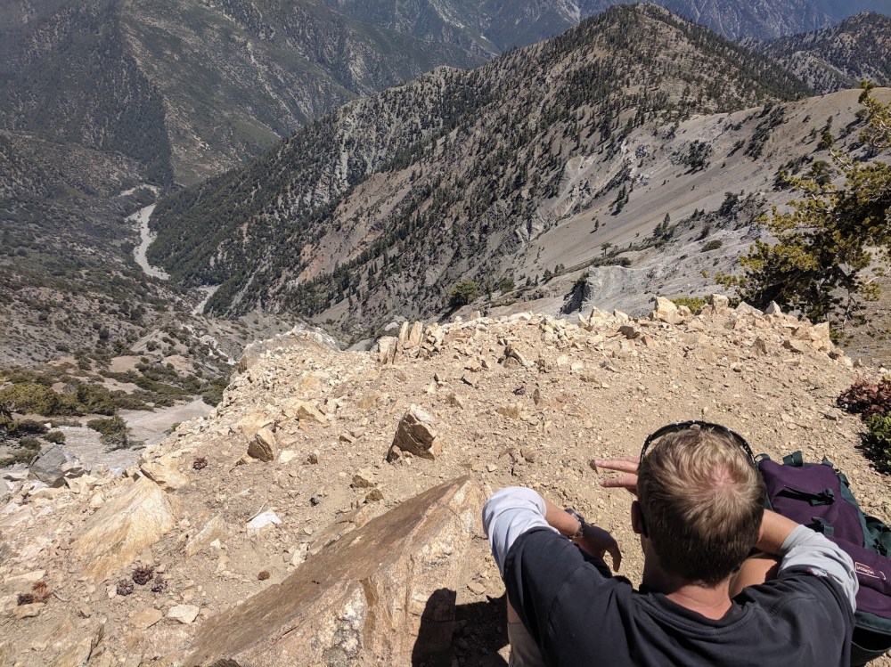
Helpfully pointing out the northern rump of Baden Powell to the east, 1 hour in.
1 hour 15 in, less helpfully pointing out the masts of Mount Wilson to the southwest.
Another 10 minutes, and Wilson’s white domes are maybe just about visible here if you squint.
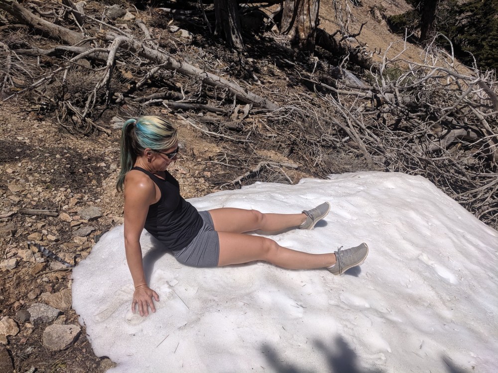
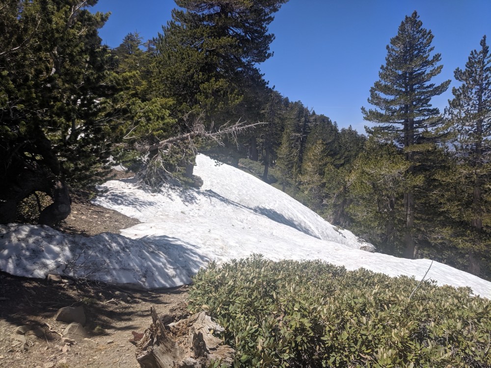
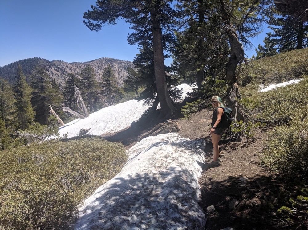
An hour and a half in, our first summer snow!
Still exciting.
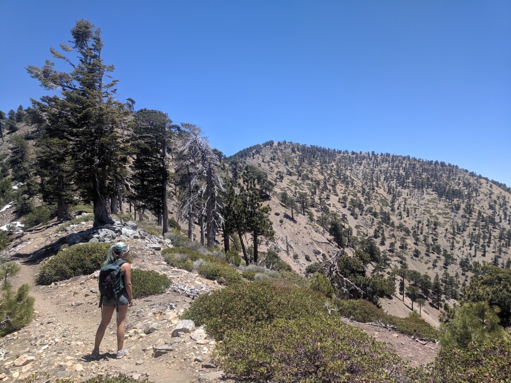
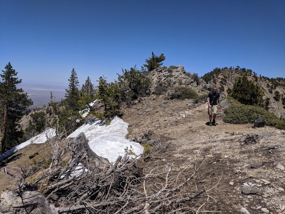
A few minutes later, approaching the Hawkins Ridge junction…
…and here it is…
…with an excellent view of where we’re going.
The junction with the Dawson Saddle trail, 2.5 hours in.
But that way doesn’t look particularly passable.
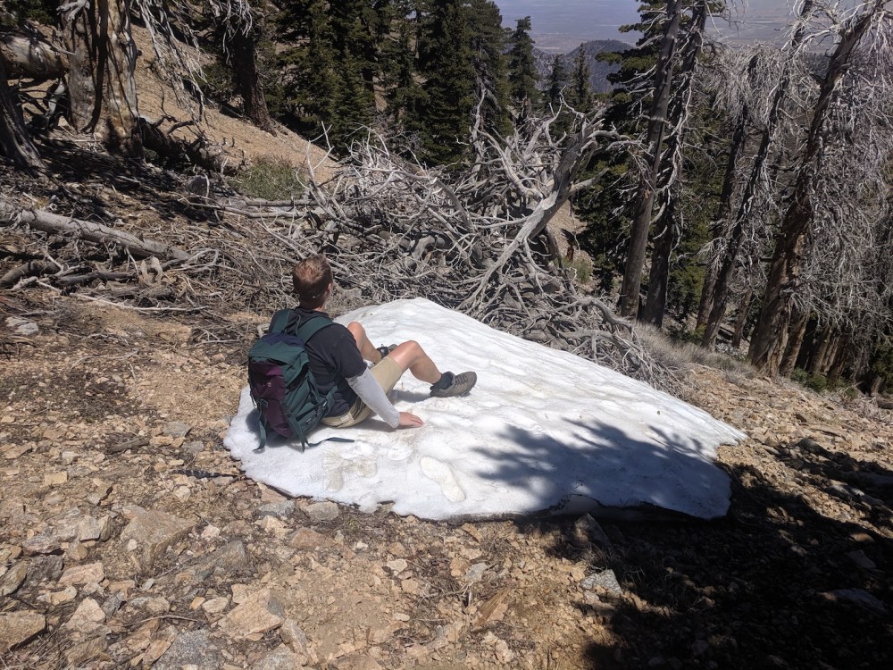
A few minutes later, more snow on our route…
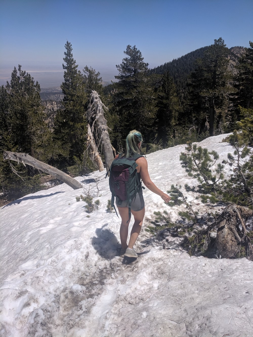
…some actually underfoot.

40 minutes later, the last of it.
BP drawing closer (3 hours 15 minutes in).
The junction with the summit trail.
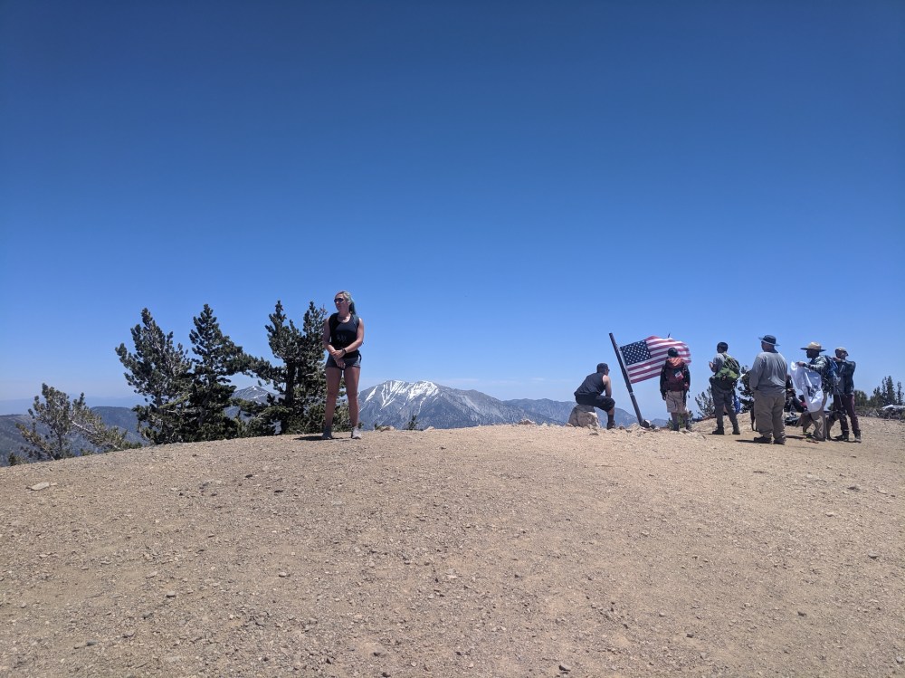
Sharing the summit.
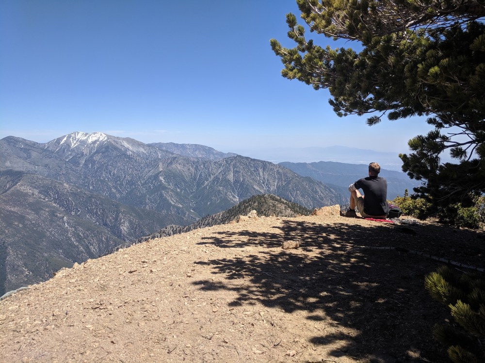
Not sharing our picnic spot.
Possibly because of this.

Essential lunch ingredient #1.
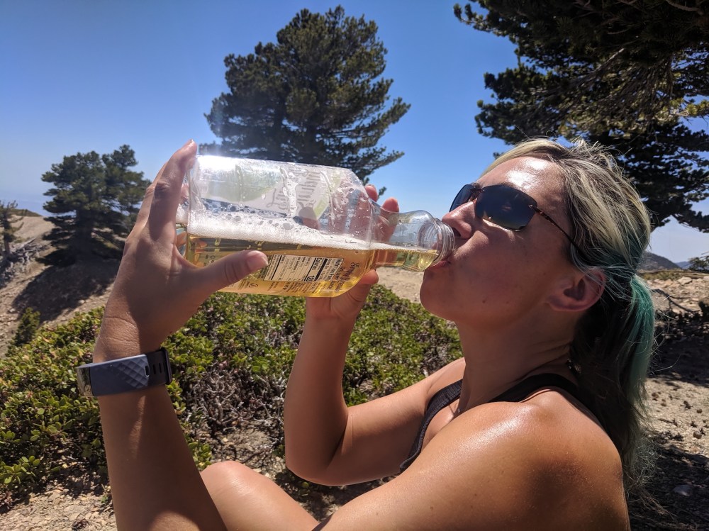
And #2 (our patented bonics: one can lager, one can tonic water).
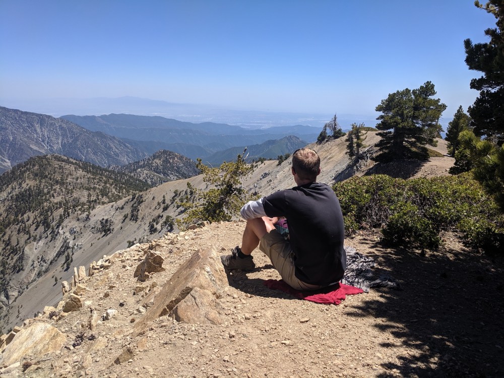
A hard place to leave.
Starting to retrace our steps, easterly and southeasterly views from the top.
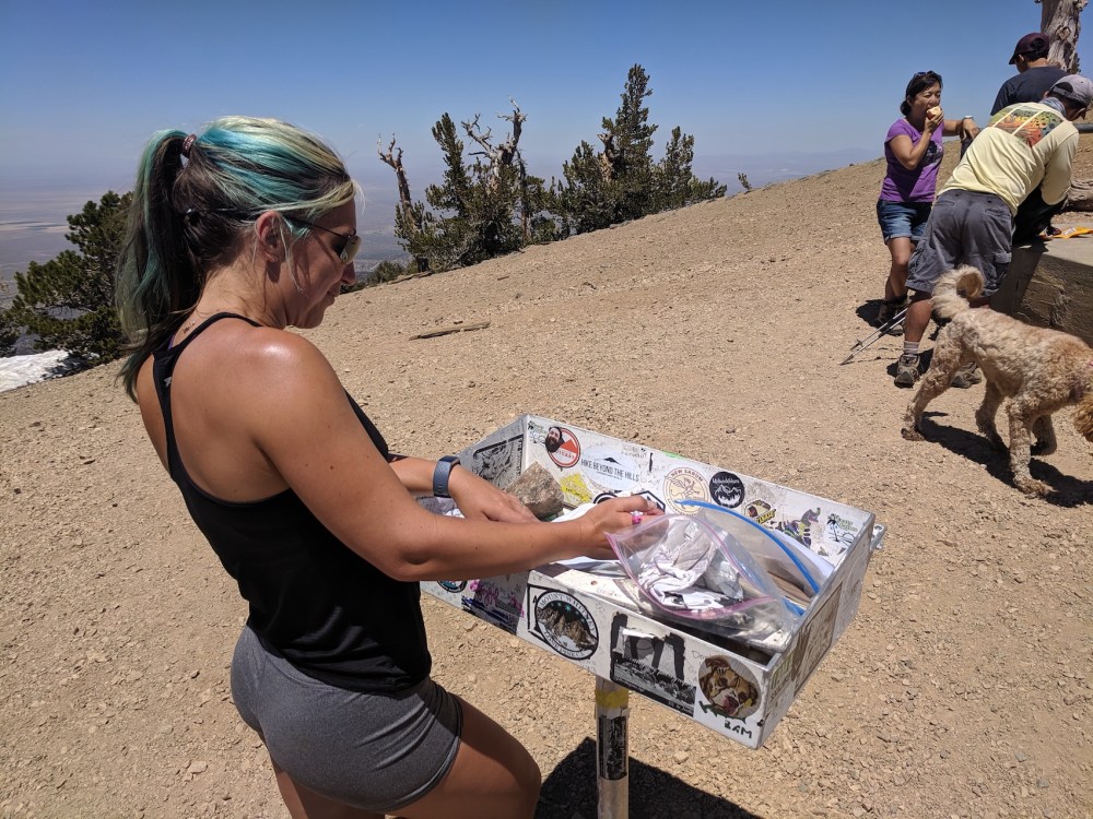
And a brief plug for this blog in the visitor book.
Back down the summit trail.
A last bit of snow-dodging on the way back.
Peaceful warm southfacing slopes in the mid-afternoon.
And a last couple of homeward views, 6 hours after we began.

2 thoughts on “Baden-Powell from Islip Saddle”