Distance: 11.6 miles (18.7 km)
Time: 6.25 hours with 1.25 hours break
Elevation gain: 3,169 feet (966 metres)
Difficulty: terrain-wise, moderate; navigation-wise, easy; fitness-wise, difficult
Optional extras: Mount Islip, Mount Hawkins
Drive: 1 hour (41 miles) from old town Pasadena, east on the 210 and north on the 39 to Crystal Lake
Modern Hiker has a helpful description here
The drive along the 39 to this hike is spectacular and a lot of fun behind the wheel: a very winding narrow road for a good few miles. If you want to take in a great view while you still have the energy to do so, drive past the entrance to Crystal Lake Recreation Area and continue half a mile up to road to the road closure. There’s a big pull-in spot with some good photo opportunities. Head back down the hill, take a left at the signpost for the café, and head all the way to the furthest point of the campsite from the entrance – there’s a café, shop, and visitor centre along the way.
This ambitious hike chains together a few trails that take you directly above the campsite, along Hawkins Ridge to the old fire lookout station, and then down an abandoned fire road back to the campsite. At various points you get spectacular views of the canyon to the south, the plains to the north, and Throop Peak and the Sheep Mountain Wilderness to the east. The route is: Windy Gap Trail -> Pacific Crest Trail -> Hawkins Ridge Trail -> South Hawkins Fire Road.
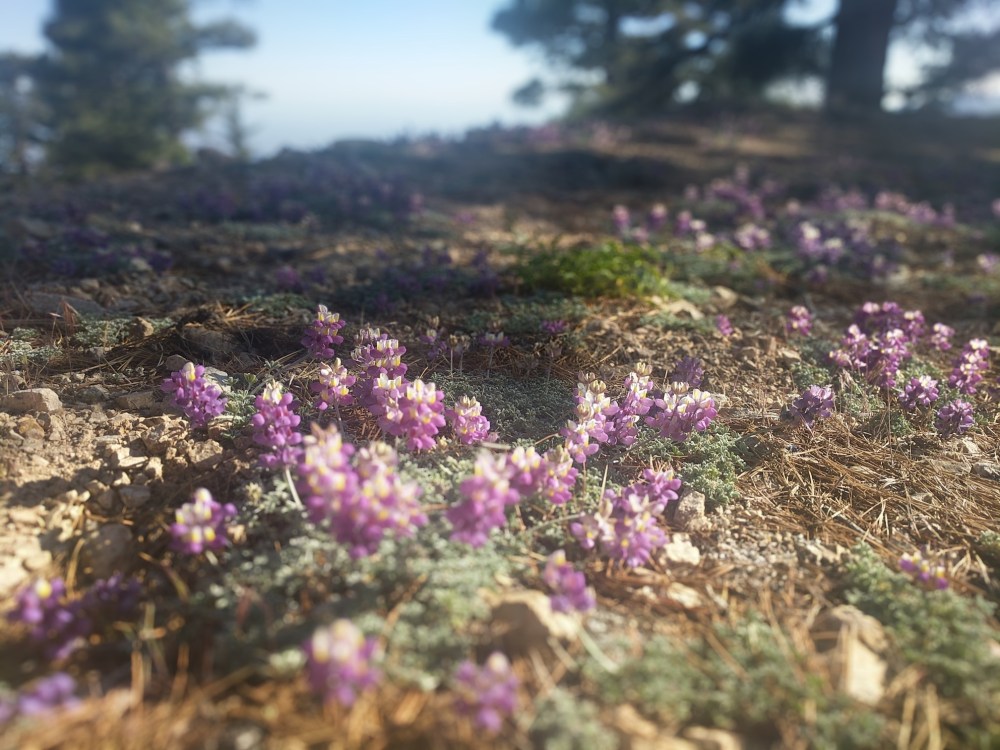
The Windy Gap Trail starts fairly gently as you cross a dried-up river bed and rise up above the campsite.
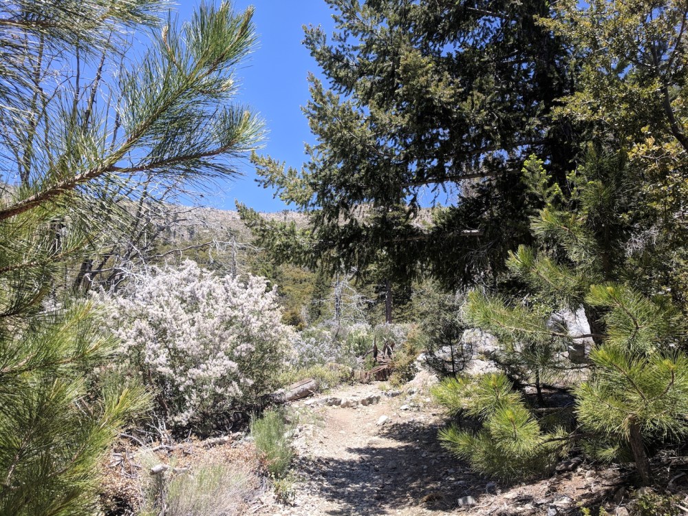
Enjoy the shade while you can; after about a mile the lush green trees fizzle out, leaving you exposed to the sun for the rest of the climb.
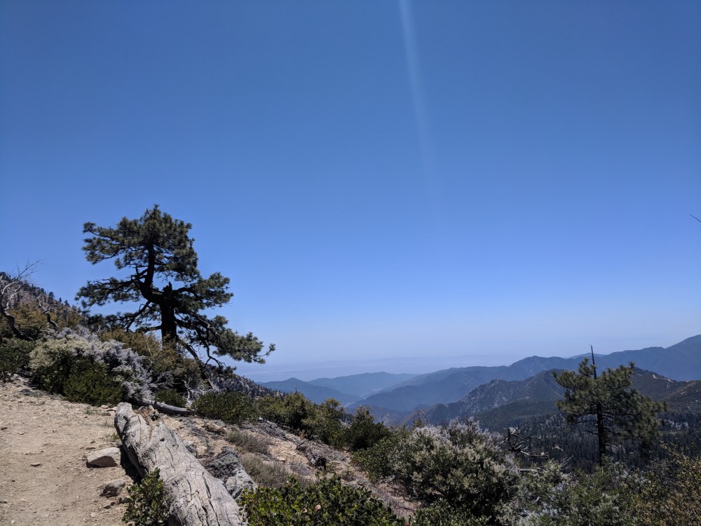
After about 1 hour 15 minutes (2.5 miles / 4 km), you reach Windy Gap, and the view opens up to the Mojave plains to the north. If you feel keen, you can add a little detour to the top of Mount Islip on your left (0.8 mile / 1.3 km each way); it’s a pretty one, but we kept to the main route this time.
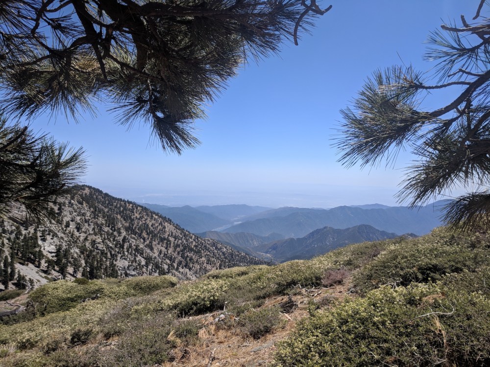
Now there’s a stretch along the PCT on the north side of the ridge, slight to moderate uphill and plenty of pines, with desert views and the occasional vantage point back over the valley and Morris Reservoir to the south. (Sadly Crystal Lake is now just a dried-up hole.)
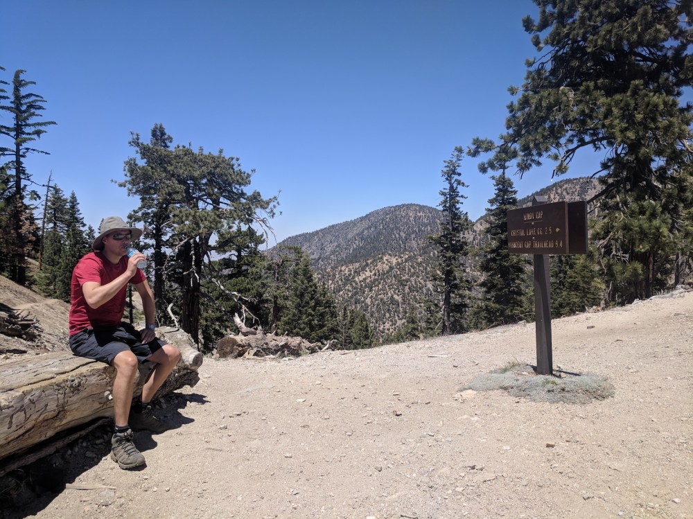
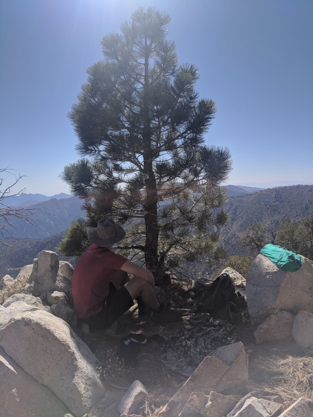
After about another 1.3 miles (2.1 km) you get to the signed junction with the Hawkins Ridge Trail running south. Unlike the Placerita ridge walk, the path here doesn’t run along the very top of the ridge; most of the 2-mile (3.2 km) stretch is on the east side, flat or gently downhill. Just before the path rises a little to reach the crest of the ridge, we cut off piste up to the top and found a beautiful little crow’s nest of a picnic spot with vast views to the west. We stopped a good hour here, fitting in a half-hour snooze after our lunch, and then set off back down to the trail.
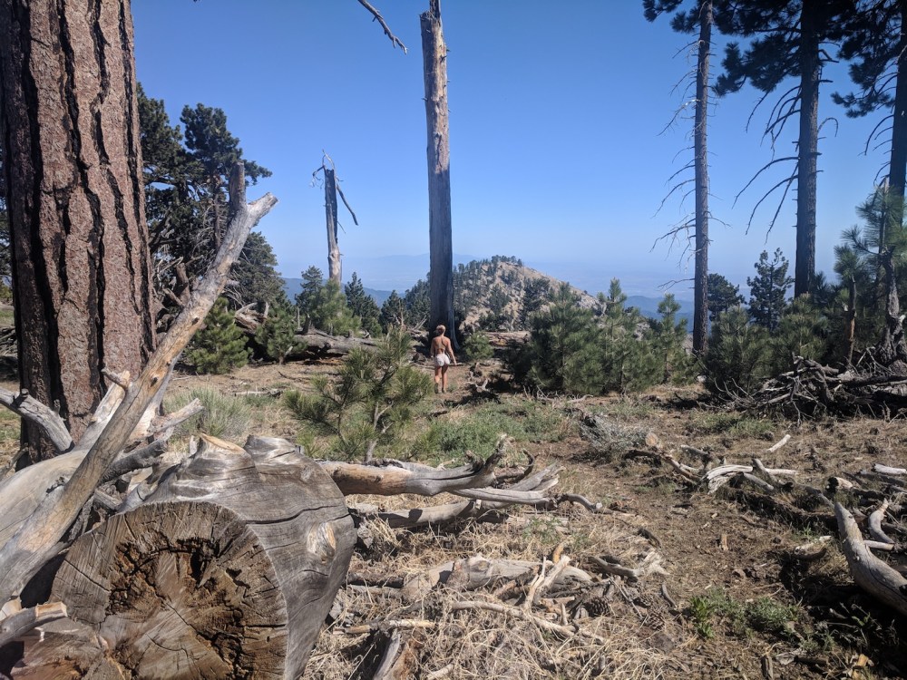
There’s a gorgeous little meadow and then a patch meandering needle-cushioned between wide-spaced pines, and South Mount Hawkins comes into view straight ahead.
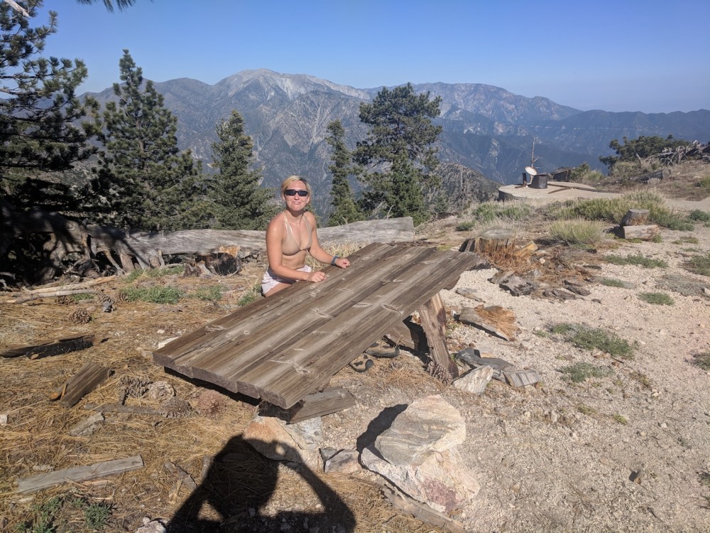
The last little stretch up to the summit traverses some steep scree, and then you have 360° views from the remains of a fire tower, and a funny little homemade pub table at child’s height to the ground.

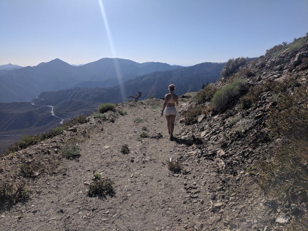
From here, it’s fire road for a few miles, all the way down to the junction with the Windy Gap trail you took on the way up. The road is now abandoned, and there’s some boulder-hopping to do in places, but it’s generally a nice easy descent in the evening sun.
***
If you’d like to see the first of these trails in rather contrasting conditions, my post about our October 2023 wedding hike has some pictures of an abortive attempt to take the Windy Gap trail up to the summit of Islip to propose to James earlier that year! Looking back over these sunkissed images from 2018, it’s strange to think how quickly the snow turned us back on our ascent five years later, and only one month earlier in the year than this was (early May versus early June). The mountains are not to be toyed with…

One thought on “Crystal Lake to South Mount Hawkins”