Distance: 10.6 miles (17 km)
Time: 4.5 hours, with about 45 minutes of stops
Elevation gain: 2,022 ft (616 metres)
Difficulty: terrain-wise, easy; navigation-wise, easy; fitness-wise, moderate
Drive: 45 minutes (30 miles) from old town Pasadena (along the 2 and the 3, or, more poetically, the Angeles Crest and Angeles Forest Highways) to Mill Creek Summit

Continuing the theme of escaping the Pasadena microclimate, this weekend we decided on a hike up near Palmdale at the eastern end of Los Padres national forest, since the forecast said sunny in Palmdale. After making some schoolboy navigation errors and finally putting ourselves straight, we decided the planned route would probably be still just about spoilt by a copycat cloud layer west of Palmdale, so we took a look at Google Maps in the petrol station and identified two possible alternatives not too far from the 14. One was Indian Canyon trailhead (exit 11 from the 14, then 7.5 miles along Soledad Canyon Rd) for a section of the Pacific Crest Trail just before it leaves the national forest, but that was right on the edge of the Angeles cloud patch: a bit too risky. The other was Mill Creek Summit, in the north central San Gabriels, much further into the safe sun zone. We got there around 12:30.
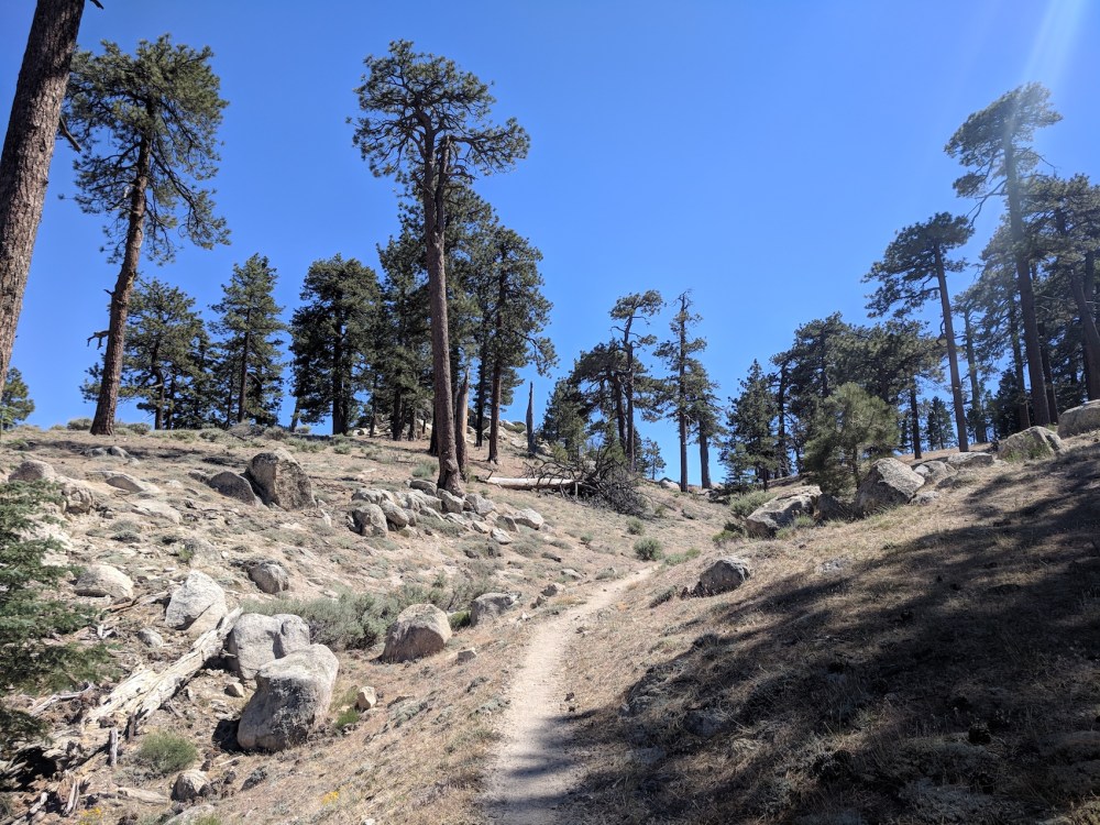
This little picnic site on the 3 is also on the Pacific Crest Trail, before it takes in Mount Gleason and then descends north to come out at Indian Canyon and cross the valley into Los Padres. We decided to head east, further into the centre of the San Gabriels, and took up the trail in the southeastern corner of the parking area. First the trail climbs very gently along a north- and then west-facing slope towards a saddle.
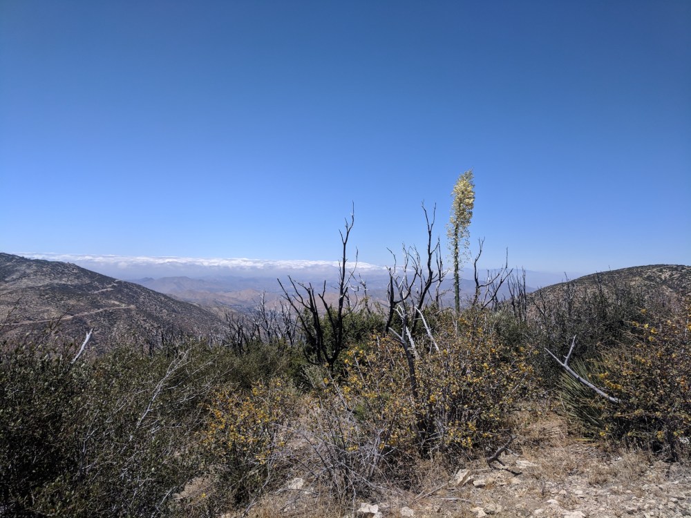
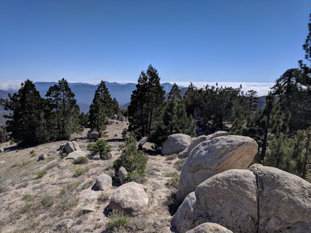
Then at about 3 miles (4.8 km) it kinks east before the saddle to come out on a ridge with Mojave views.
The trail then doubles back on itself to head south and then south-east along the ridge. Just after the northernmost point (and around 1 hour 25 minutes in) we cut off east from the trail and had our picnic leaning against a big rock overlooking the desert.
Then onwards, and after 8ish minutes we came to a junction with a smaller path heading due south, which we thought we’d try in case it made a nice circular route back to our starting point. But after a few minutes it petered out into fallen trees and undergrowth and we retraced our steps to the PCT.
The trail continues its very gentle ascent along the north-facing ridge, and takes in a final section heading almost directly south towards a saddle (another 2.3 miles / 3.7 km).
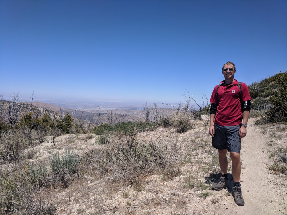
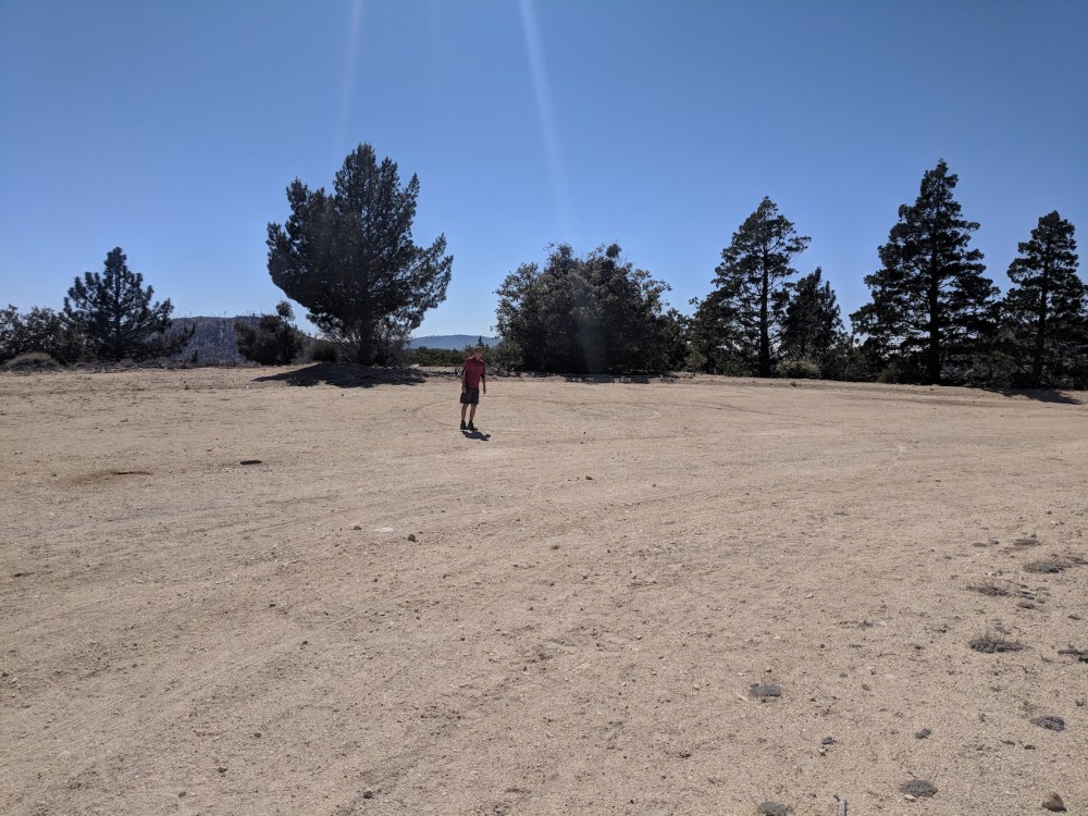
We were happy to realise that this must be the Mount Pacifico saddle, and scrambled up the little summit of rocks just west of the junction with the fire road. It was most gratifying to admire the masts of Mount Wilson emerging out of the dense marine layer which clearly still blanketing Pasadena: it looks so nice and white and fluffy from the top when it’s just damp grey gloom from underneath.
After sitting a few minutes and enjoying a dram of whisky amid the rock formations, somehow it never occurred to us to follow the fire road up to the Pacifico summit, maybe because this was turning into a slightly longer route than anticipated, and we were glad to have discovered the possibility of making it circular. So we set off on the return leg down the fire road heading south and then west. In about 0.6 miles (1 km) it meets a bigger dirt road, the Pacifico Mountain Road. (It isn’t this motorway-like for long!)
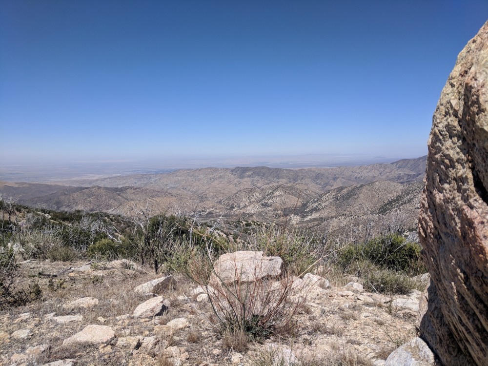
This track takes you all the way back to the car park, meandering gently downhill for 4.6 miles (7.4 km) with beautiful green southerly views to complement all the northern desert ones from earlier.
After the intersection with the Forest Service Road 3N90 (at 1.3 miles / 2.1 km from the junction onto the Pacifico Mountain Road), you come in sight of the car park again, and when the track came close to the PCT (at 3.6 miles / 5.8 km from the junction) we scrambled down a little slope to get back to the trail and shorten the end a tiny bit. We then realised we could also have done this more easily later on, just after the red barrier by the electricity pylon (at 4.3 miles / 6.9 km).
No pictures of this last section because battery dead, but we were back just after 5 pm, and enjoyed the late-afternoon emptiness of the Forest Highway before the return to traffic, and cloud, on the Crest Highway home.
Nice to have created our very own hike without the help of any books or others blogs!

Heello nice post
LikeLike