Distance: 2 miles (3.2 km) there and back, or 3 (4.8 km) with a loop in the middle
Time: 1 hour for the shorter version, 1.5 for the longer (or 1 hour if you run down!)
Elevation gain: 1,250 feet (381 metres) (from sea level to 1,250/381!)
Difficulty: terrain-wise, easy; navigation-wise, easy (especially if you have any visibility!); fitness-wise, moderate (short sharp ascent to start with)
Drive: 70 minutes (61 miles) via the 110, the 10, and the 1; or 1 hour (66 miles) but much less scenic via the 134, the 101, and Lewis Road down to the 1
Hike no. 44, 100 Classic Hikes in Southern California (for the there-and-back version)
We wanted somewhere pretty to stop off for a little walk on our way up to Santa Barbara for the weekend, and we found this in our copy of 100 Classic Hikes in Southern California. We ended up not doing the planned route because we took a wrong turn, but we could actually have turned our mistake into a nice circular route if we’d looked a bit more carefully at Google Maps at some point en route.
From the car park just north of Point Mugu, take the Chumash trail straight up the hill. If you want the just-over-2-mile there-and-back cardio climb directly up to the peak, take a left (to continue to head due north) at the first T-junction, after 0.6 miles (1 km), and then a minute later take the right fork onto the Mugu Peak trail, continuing another 0.4 miles (0.6 km) to the summit.
If you want to copy us, go right (south) at the first T-junction, onto the southerly half of the Mugu Peak trail loop, continue 0.9 miles (1.4 km) to another T-junction, and head left to trace back west up to the peak on the northern side of the loop. From there you can loop back down to the Chumash trail (0.6 miles for the northern half of the loop taking in the peak). This there-and-back with a loop in the middle would be 3 miles. What we did instead was get to the second T-junction but then strike off a minute or two off the path to the right (roughly south) to have a quick food-and-drink stop; then we decided we were running out of time to miss the worst rush-hour traffic, so simply retraced our steps from there. Given the southern arm of the loop is actually longer than the northern one, if flatter, you wouldn’t normally save much time by skipping the peak – but we decided to run down most of the way, which was quite fun.
There are several appealing longer loop options starting from the same place and continuing into the La Jolla Valley, so there’s reason to come again, maybe on a clearer day. We went wrong partly because the visibility was very poor – but the sea mist did make it rather atmospheric. The contours and the flora are delightfully different from our usual San Gabriels hunting ground.
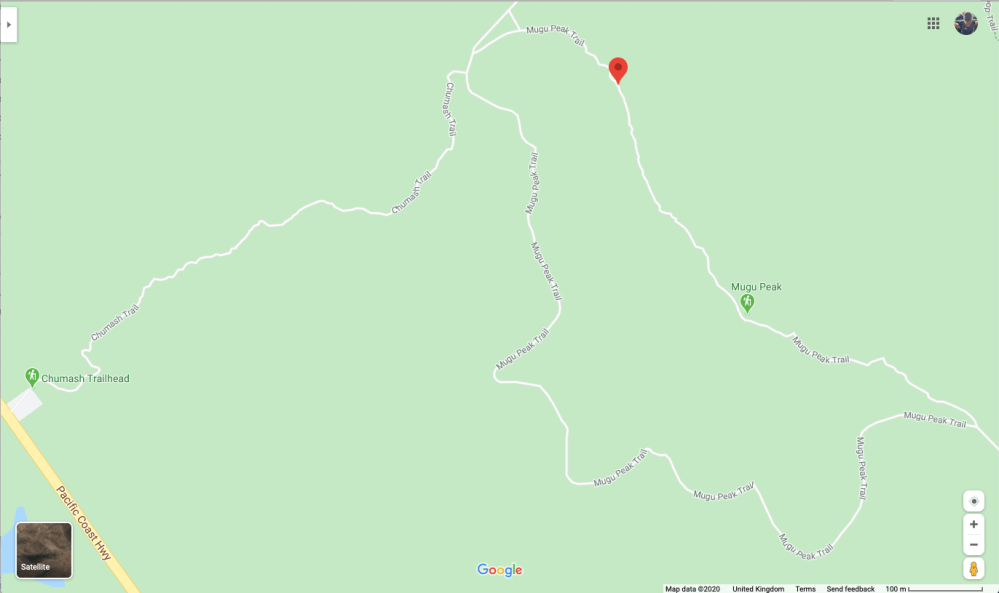
The full there-and-back plus loop route we should have done.
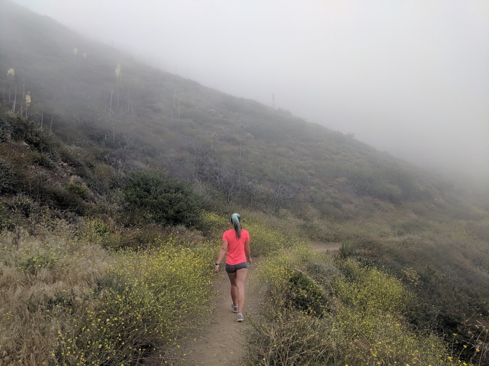
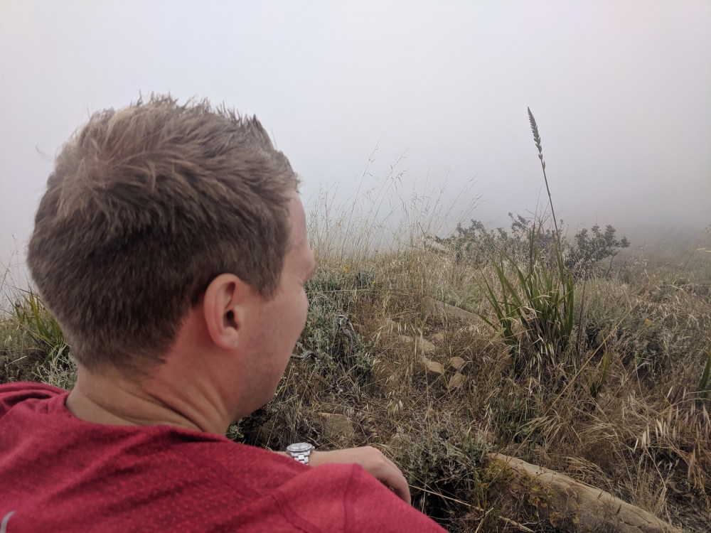
Setting off up the Chumash trail towards the misty summit.
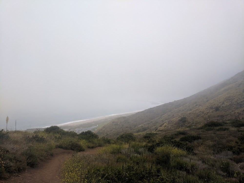
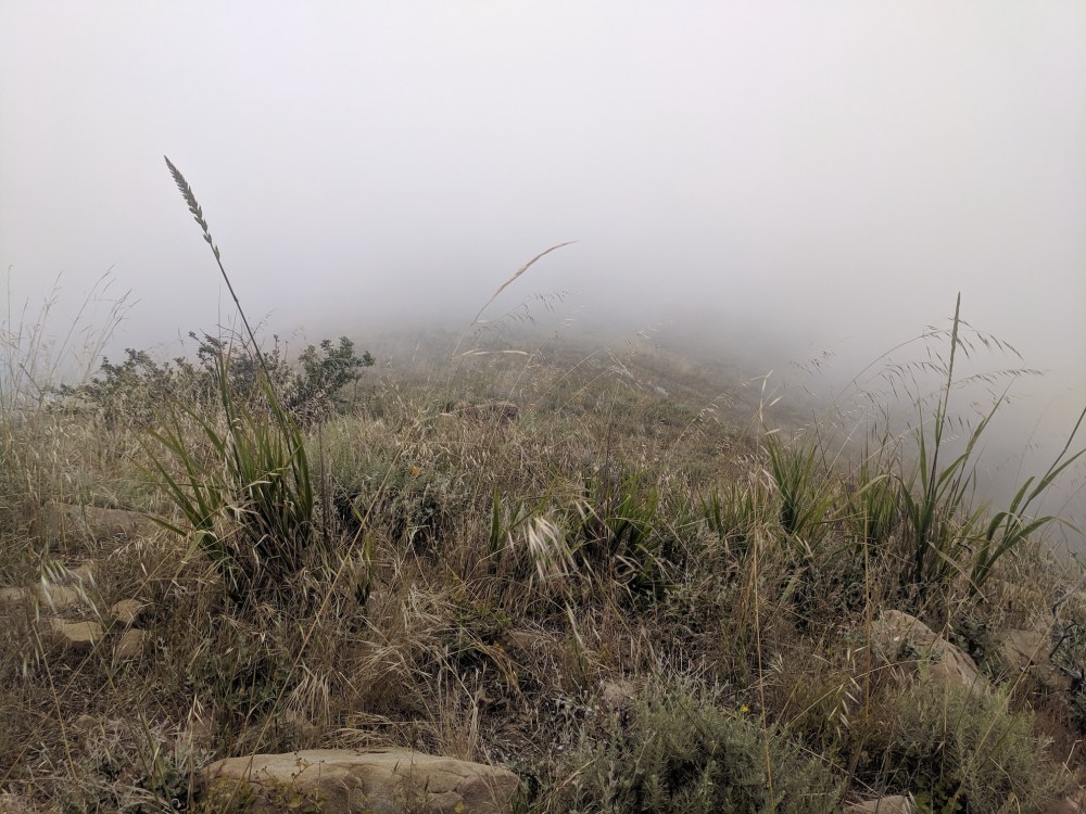
Ten minutes later, the extent of our sea views for the day.
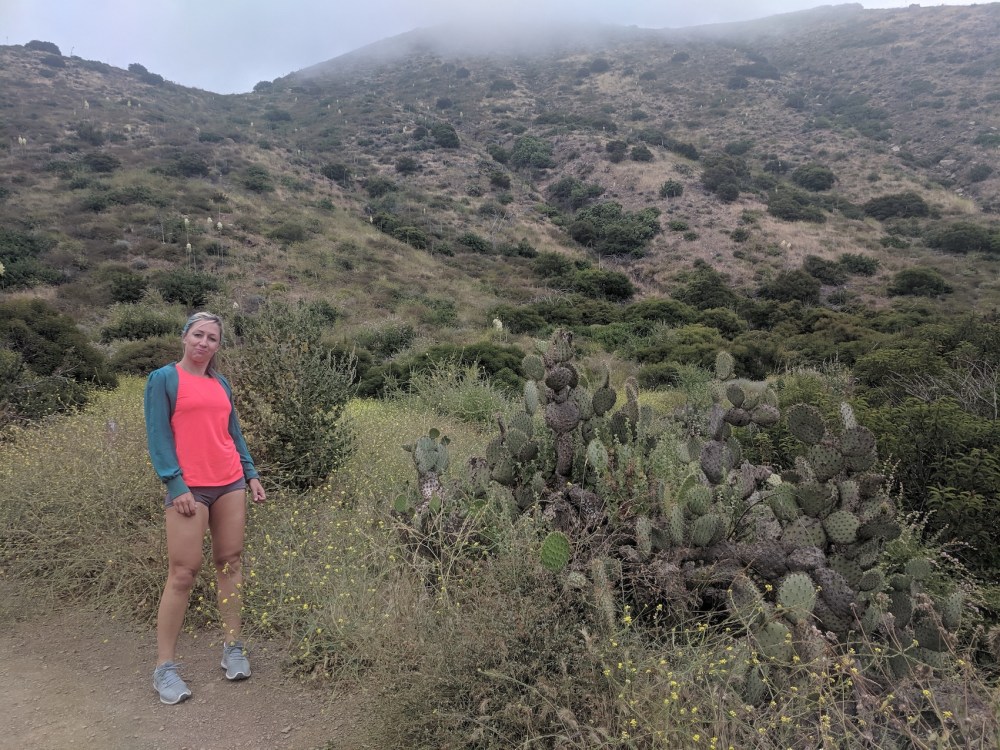
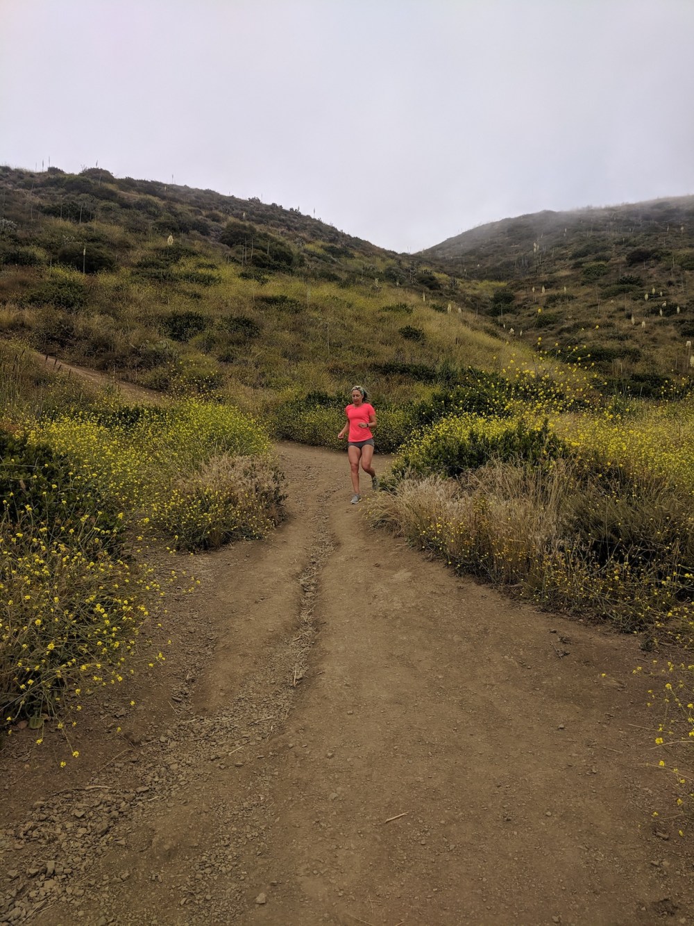
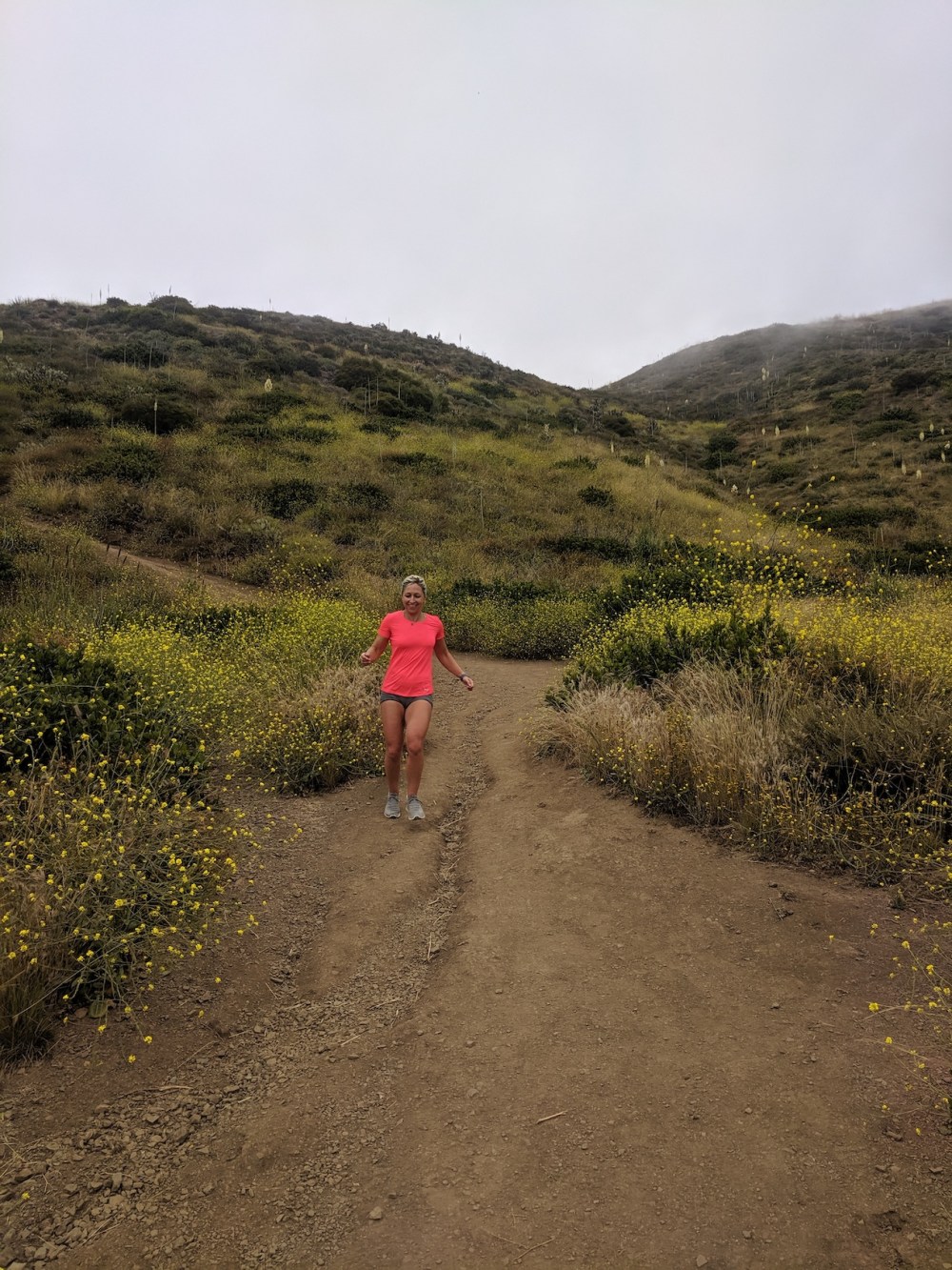
Another ten minutes, on the lower stretch of the Mugu Peak trail.
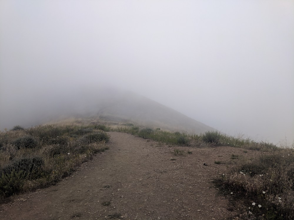
Another five minutes, a junction which I can’t now identify on the map, sorry!
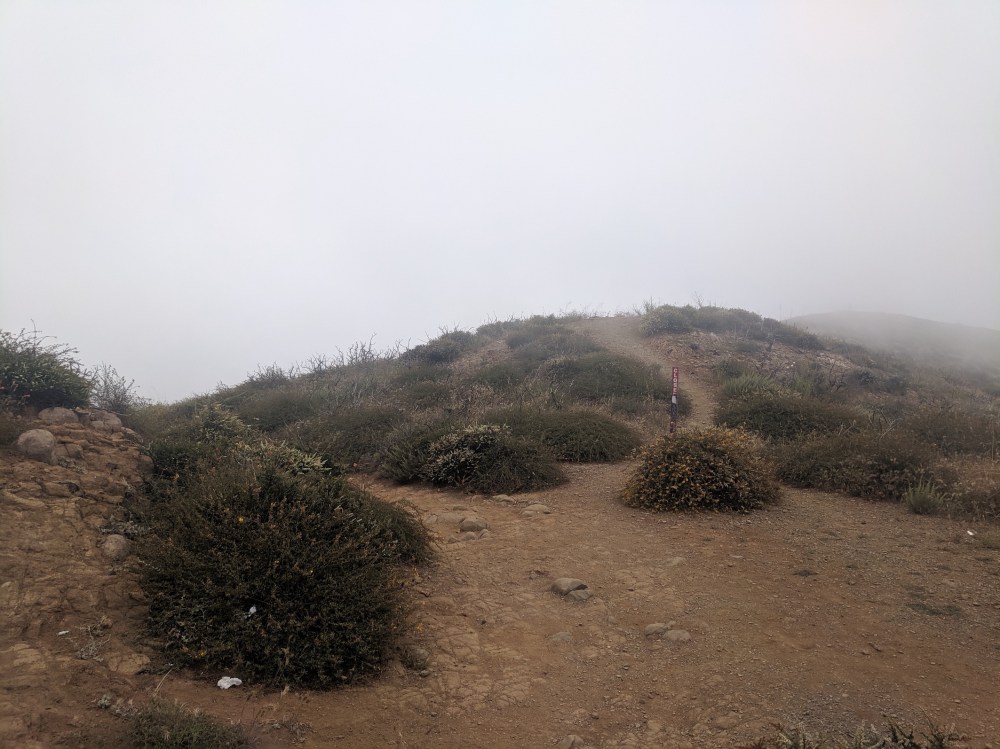
Ten more minutes (40 minutes from the start), the T-junction where left (west) leads you up to Mugu Peak…
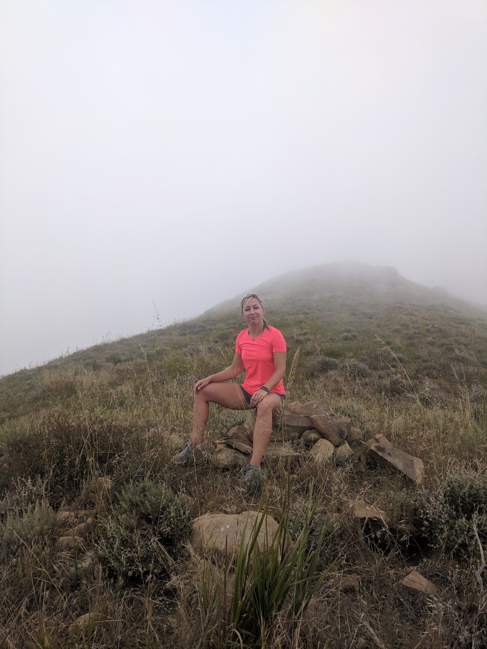
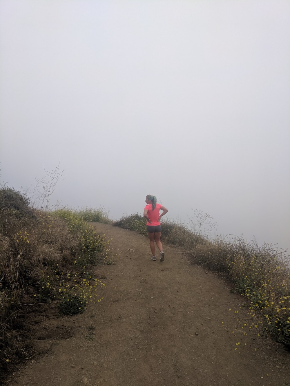
…and right (south-ish) off the beaten track leads to this misty little perch.
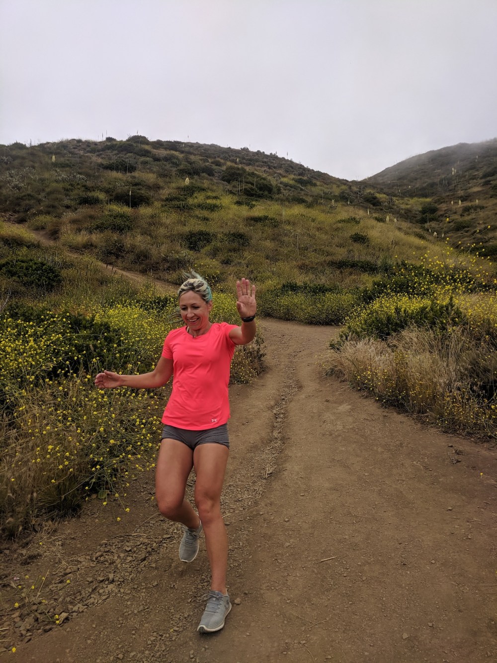
15 minutes later, an hour after setting off, the final slightly ungraceful jog back to the bottom.
