Distance: 8.7 miles (14 km)
Time: 3 hours 40 minutes including about 30 minutes’ total stops
Elevation gain: not much
Difficulty: terrain-wise, easy; navigation-wise, easy; fitness-wise, easy 🙂
Drive: 45 minutes (30 miles) from central Pasadena, via the 210, the 2, and the 3
For our first hike after July in Britain, we wanted something easy and close to home to help us acclimatise. It occurred to me that although we’d done the stretch of the Pacific Crest Trail east from Mill Creek Summit picnic site to Pacifico Mountain a few times, enjoying the circular route we’d created there, we’d never crossed the road and gone west. So that’s what we did here. Sadly there are no obvious circular options in this direction, so once we’d run out of time for the outward leg we just turned round rather anticlimactically and set off back. But it’s a nice gentle stretch with mostly northerly views down over the plains to Palmdale and beyond, and across to the eastern end of Los Padres, and then the occasional southern aspect looking back towards home.
We also found a promising-looking wild-camping spot 2 miles (3.2 km) from the road which we may make use of in future. Combining that with getting to Mount Gleason seems like fun.
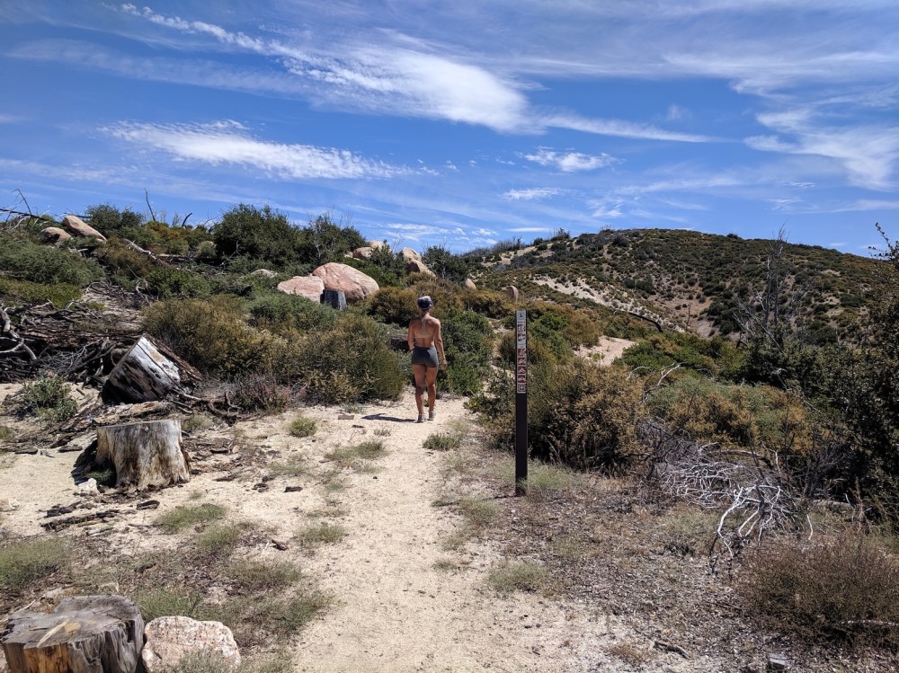
Crossing the small (and closed) Mount Gleason Road, 2.5 miles (4 km) from the start/end, in both directions
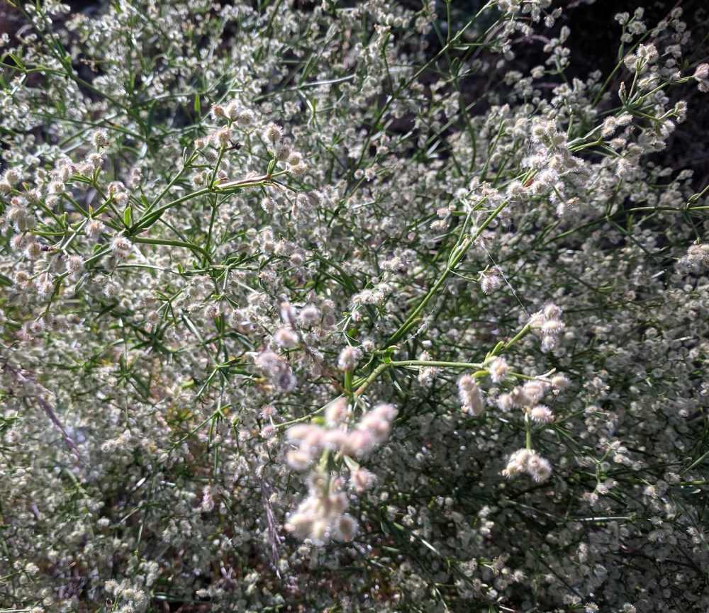
Summer flowers on the path
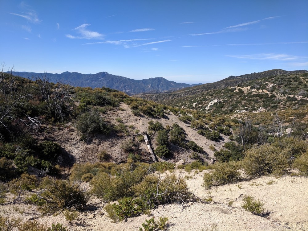
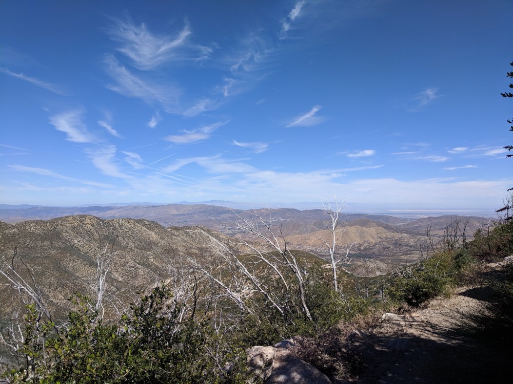
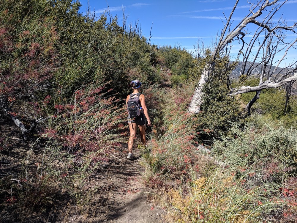
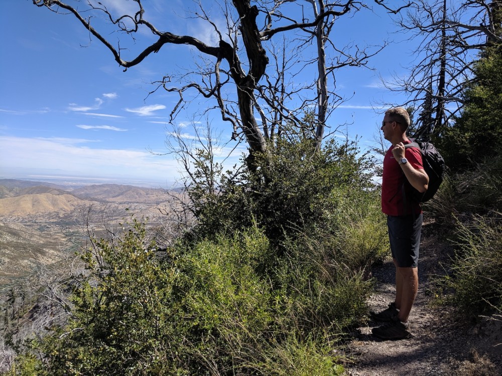
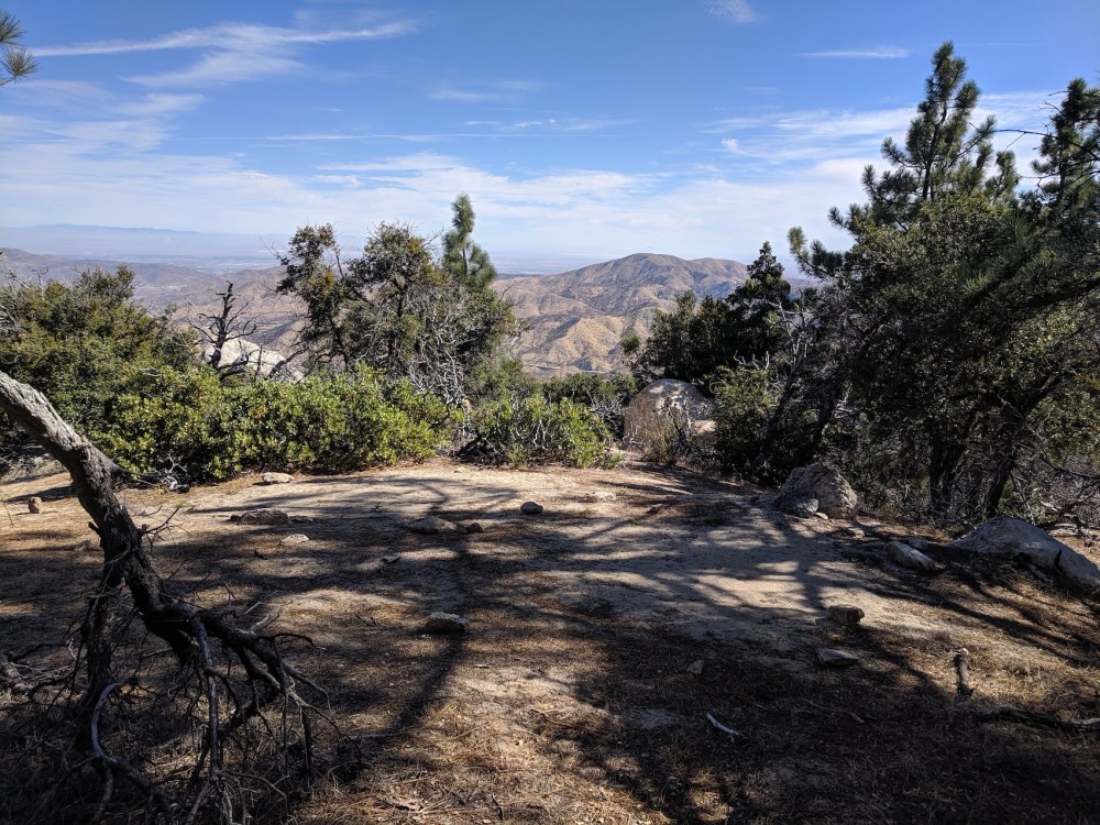
Views to the south and the north
Rucksack swap at the exciting endpoint
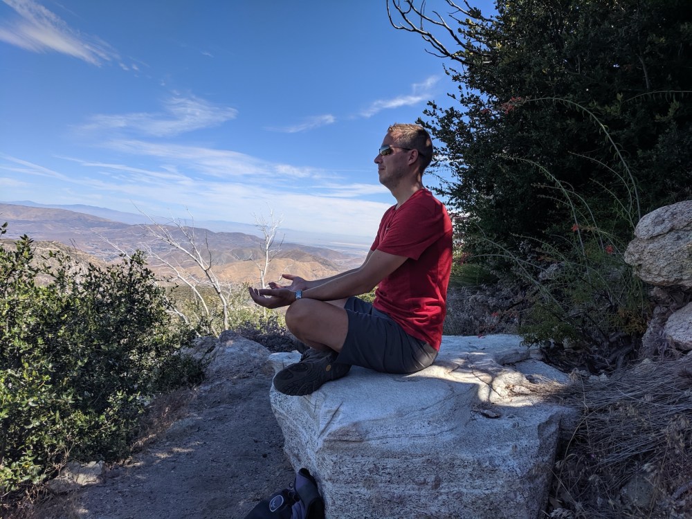
Beautiful cool hydration/meditation rock
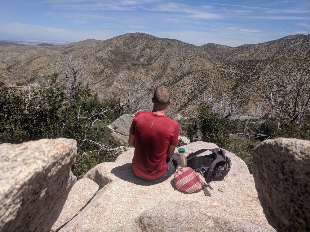
Beautiful warm picnic rock
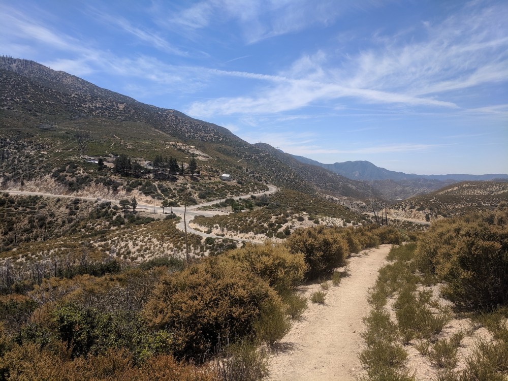
Mill Creek from near the end
And the camping spot we might try some day
Update 19 August 2019: we tried the camping!
It was lovely. The 2 miles felt a bit longer and steeper with heavy rucksacks, but it was lovely setting up camp in the mid-afternoon and then whiling away the remaining daylight with reading, games, food, drink, and gummies. Follow the link for our pics.

2 thoughts on “PCT west from Mill Creek”