Distance: 5ish miles (8ish km)
Time: about 2 hours
Elevation gain: not much
Difficulty: terrain-wise, navigation-wise, and fitness-wise, easy
Drive: 30 minutes (25 miles) from old town Pasadena, north on the 210, then 7 miles up Little Tujunga Canyon Road, till you see the gate for the fire road on your right at Dillon Divide
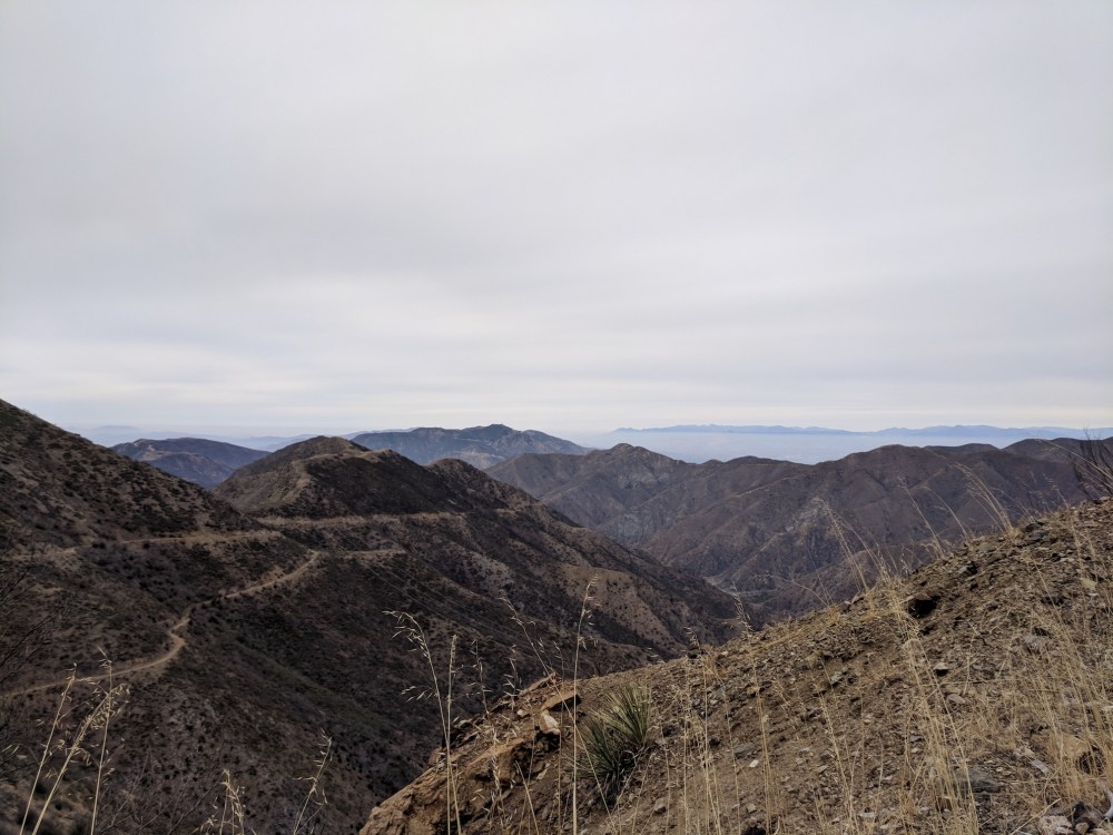
We’ve come up here twice, once for a quick pre-dark stroll, once for a slightly longer walk with brunch picnic with our companion Simon. Near the western end of the Angeles National Forest, it’s a bleak fire-ruined area, strikingly vast and empty with a long high ridge to the north and dense layers of clustered peaks across to Mount Gleason to the east.
Other hiking sites cover a longer hike from our starting point to Mendenhall Peak (see Iron Hiker’s 7.7-mile (12.4 km) trip here, or a much longer one as far as McKinley Mountain via Iron Saddle (see the 22-mile (35.4 km) version from SmugMug here) but even on our less brief, not-dark occasion we didn’t have much time to play with, so we simply set off from Dillon Divide, followed the fire road a couple of miles to Highline Saddle, and then took a right off the fire road and doubled back west along a narrow path (with a brief scree section) to find a picnic spot with views out over the San Fernando Valley, before retracing our steps.
Sorry these notes aren’t better; we recorded pretty much nothing on either occasion! Maybe we’ll go back some day and make a note of the actual time, distance, and elevation… Meanwhile here are some photos from the two outings.
#1
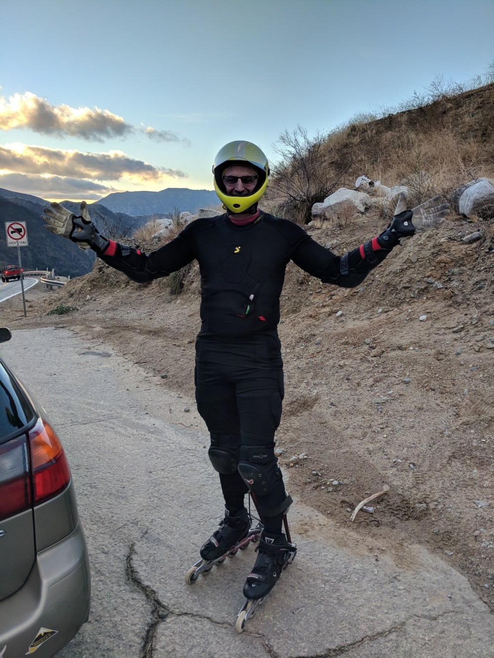
An adventurer setting off from Dillon Divide on his rollerblades with homemade braking mechanism — we forgot to ask his name, but his craziness was delightful.
Looking out northwest from the fire road
Clouds gathering to the north
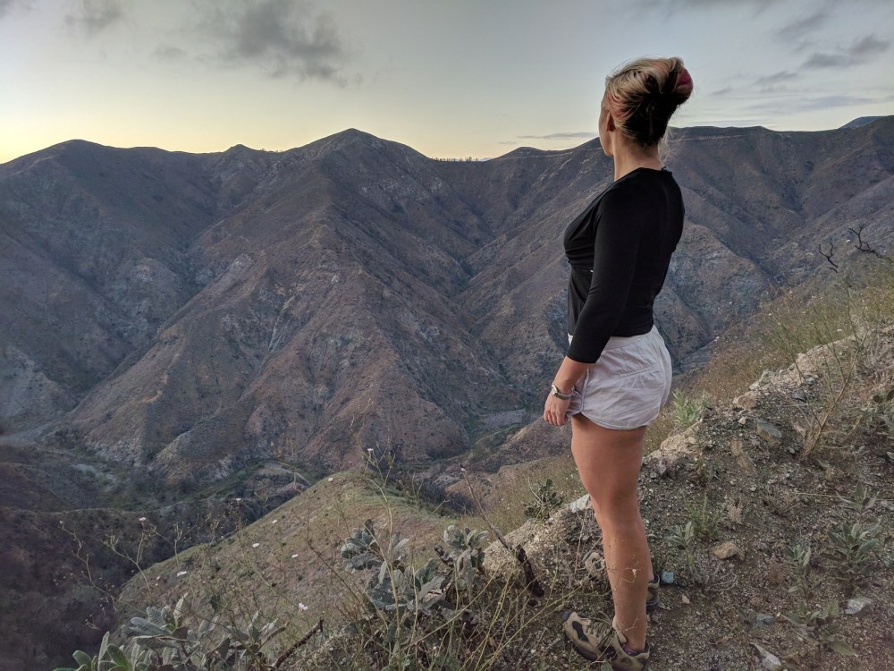
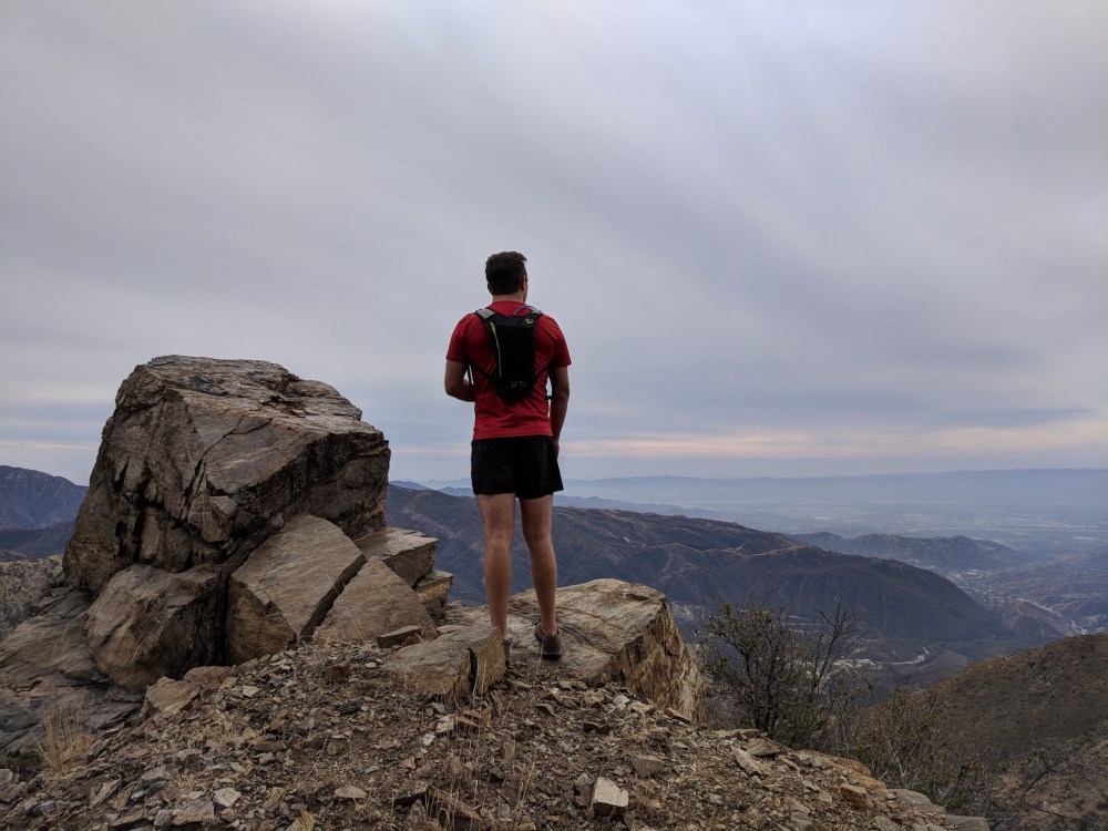
The intrepid explorer
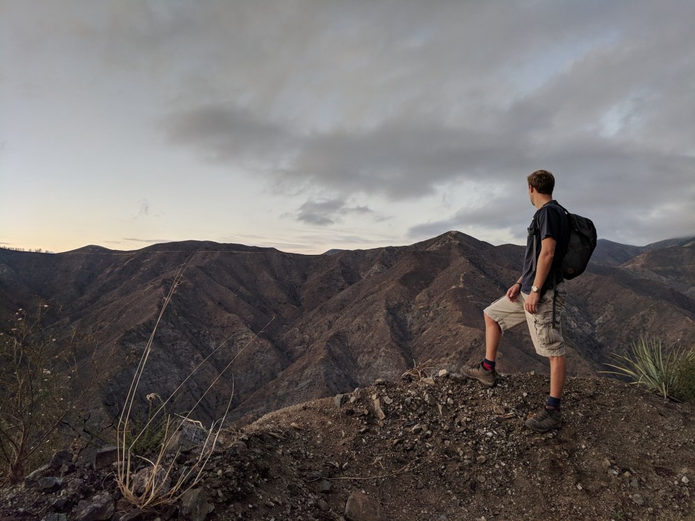
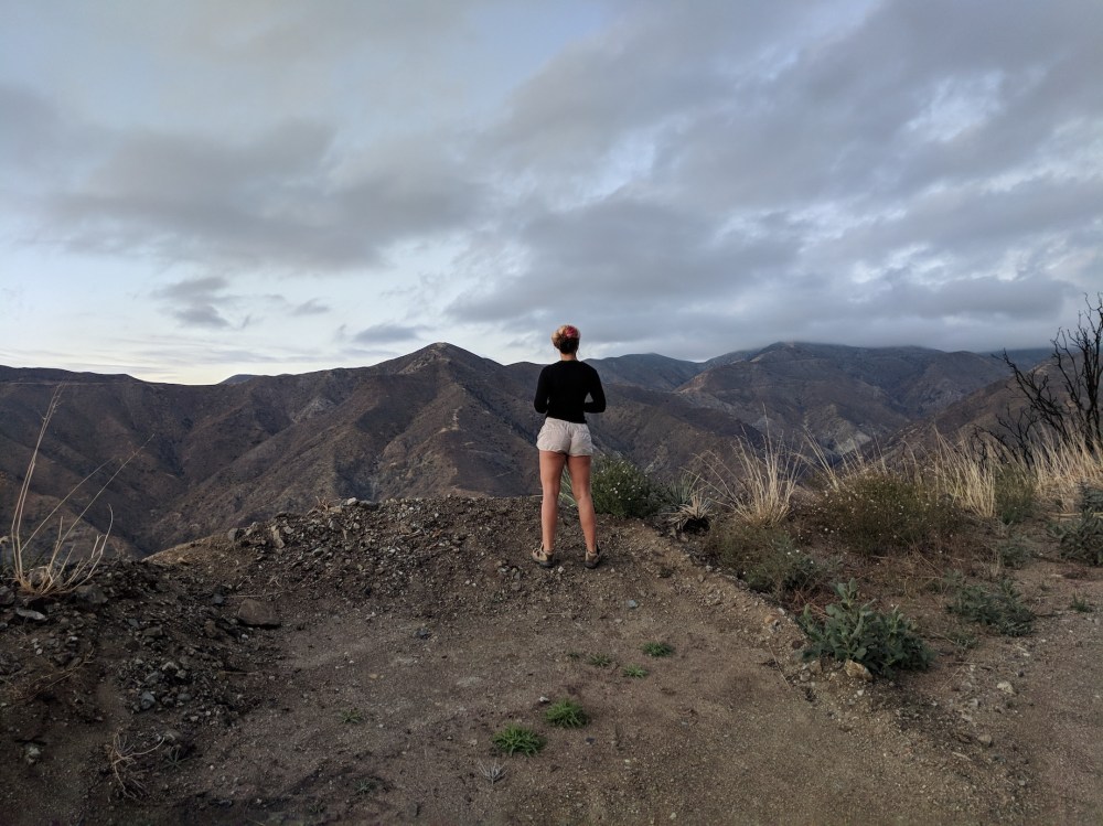
Still intrepid
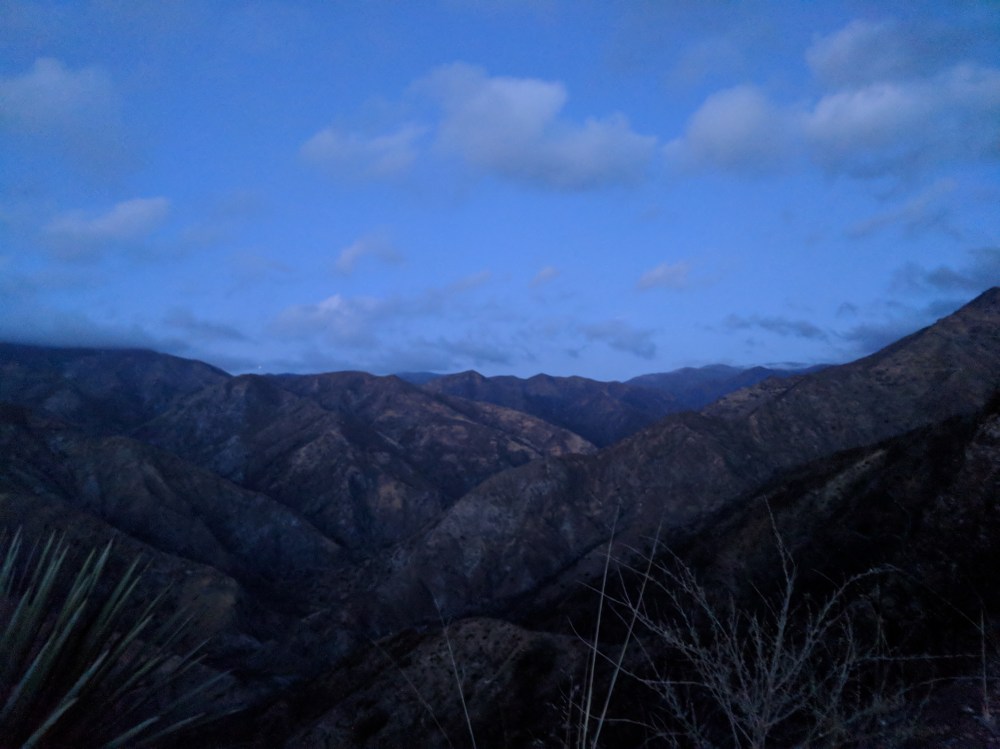
The light failing, the camera not quite capturing the strangeness of the blue
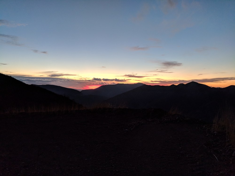
And time to go home
#2
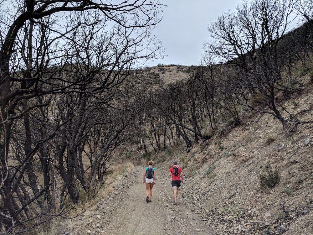
Poor trees
Back the way we came
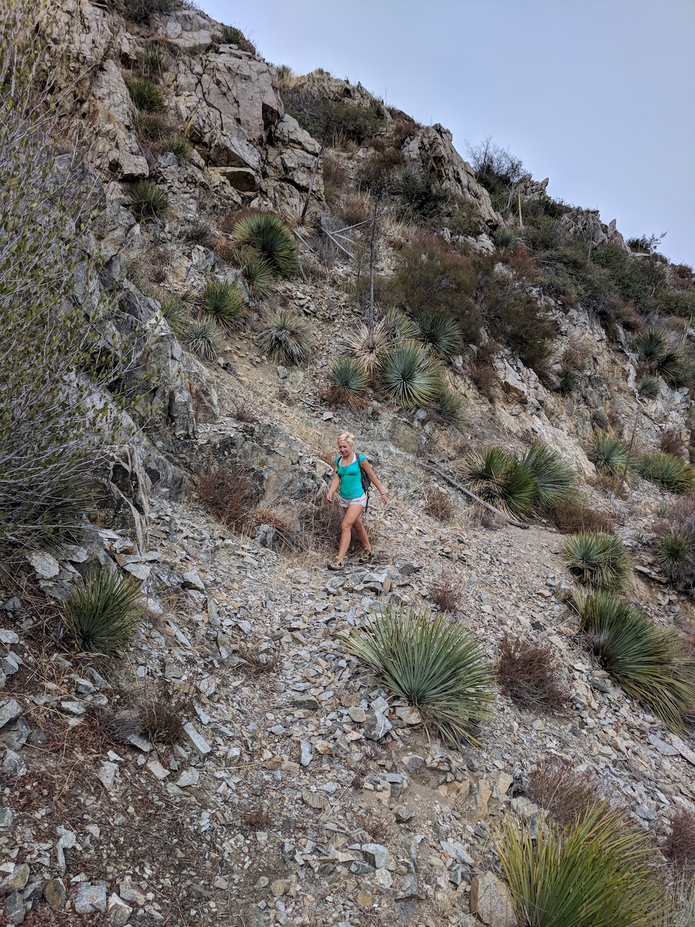
Pre-brunch scree
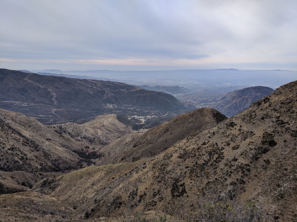
The new view over the Valley
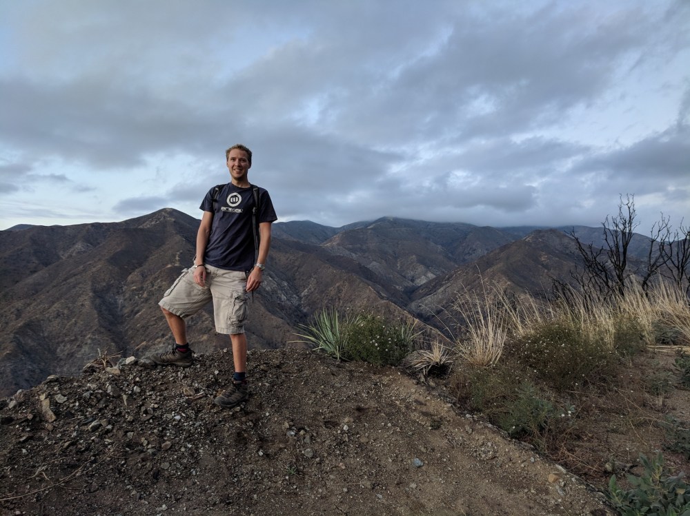
Another intrepid prospector
