Distance: 9 miles (14.5 km) round trip
Time: 6 hours including a 40-minute lunch
Elevation gain: not sure (quite a bit!)
Difficulty: fitness-wise, moderate; terrain-wise, moderate; navigation-wise, moderate
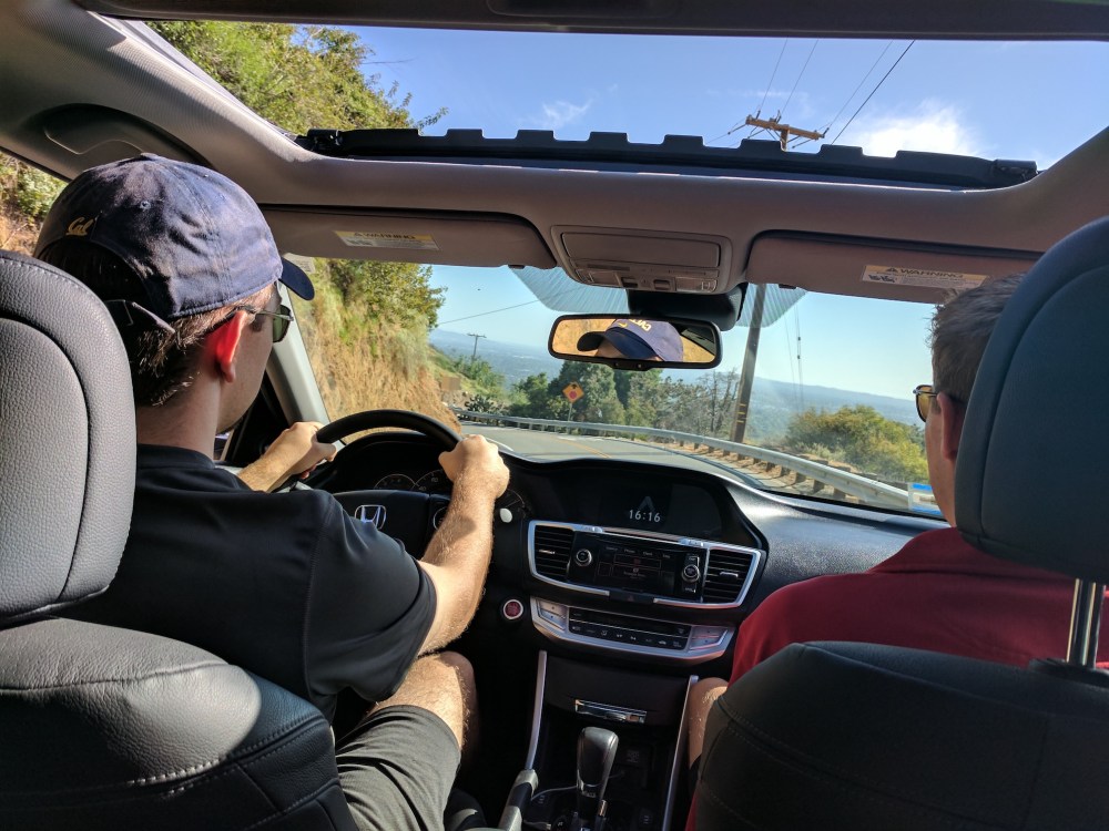
Drive: 25 minutes (13 miles) from old town Pasadena, east on the 210 and north on Santa Anita Ave and Chantry Flat Road
Dan’s Hiking Pages describes the route here (this is the ‘Santa Anita Ridge and San Olene Road’ version)
We did this hike with our Burbank friend and hiking buddy Simon in the days long before deciding to blog about it, so have no record of any of the details, beyond the photos (lots of them!) and their timestamps. We highly recommend Dan’s Santa Anita Ridge and San Olene variant, heading up towards Mount Wilson and back down to the southeast: the long undulating ridge was definitely the loveliest part of the route, especially in early April with spring flowers in bloom.
From the car park at Chantry Flats, head north for half a mile on the Gabrielino trail (Google has it marked as Forest Rte 2N40), take a left at the fork onto the Winter Creek trail up through woodland to Hoegee’s campground, and then a few minutes later turn left at the next T junction where the Winter Creek trail meets the Lower Zion trail. Another few minutes and you get to the option to head sharp right up towards Wilson (which we did) or carry on straight along the Upper Winter Creek trail all the way back down to Chantry, including half a mile at the end on the paved San Olene service road (3 miles from Hoegee).
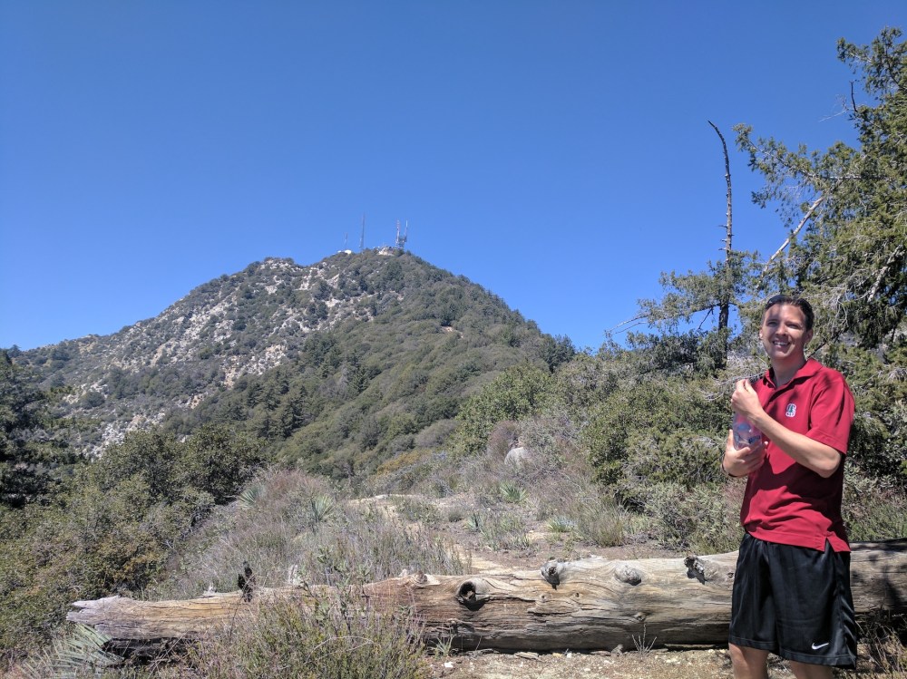
If you take the Wilson turn, it’s 1.5 miles (2.4 km) up the densely oak-forested north-facing slope to what Google Maps entertainingly labels The Bench: the junction where north (right) leads up to the summit of Wilson and left (south) has two options: the more westerly one is the Mount Wilson trail right down to Sierra Madre via Jones Peak, and the easterly one descends onto the Santa Anita fire-break ridge. The easterly one is the one you want.
We stopped for a picnic under the canopy of a huge pine just south of the junction, and then embarked on the fun of what Hiker Dan describes as ‘roller-coaster path [that] takes you over several knobs’. The knobs are indeed quite knobby! On one of them we didn’t realise the trail proper zig-zagged to the right, so did some slightly terrifying surfing down a chute of loose earth. The 360 views are splendid all along this stretch, and it’s rather sad (after 1.3 miles / 2.1 km) to get to a water tank and meet a service road heading north (left) back down towards Chantry. It’s 3.75 miles (6 km) back down from the water tank, including 0.7 mile (1.1 km) paved after the heliport; very quick-going compared to the previous section!
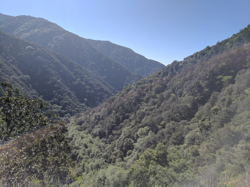
Before plunging into forest…
…and after.
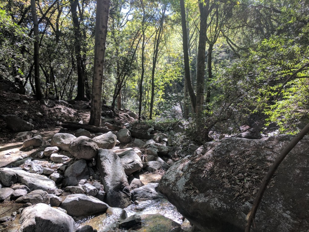
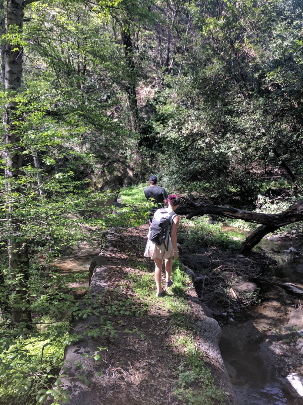
Navigating Winter Creek.
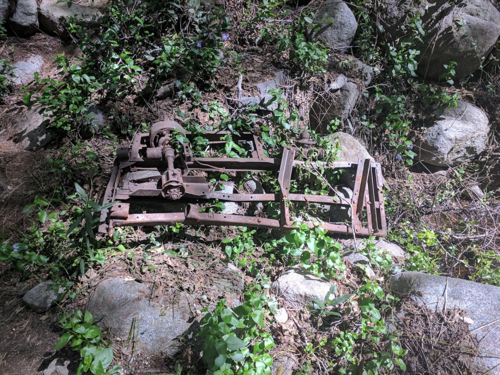
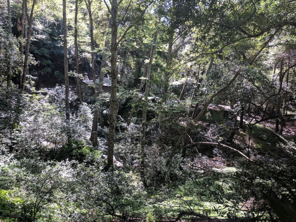
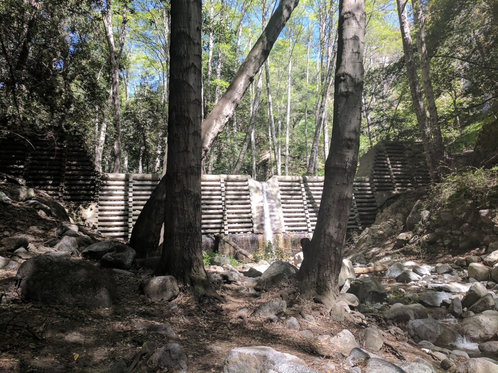
Random woodland machinery.

About an hour from the start.
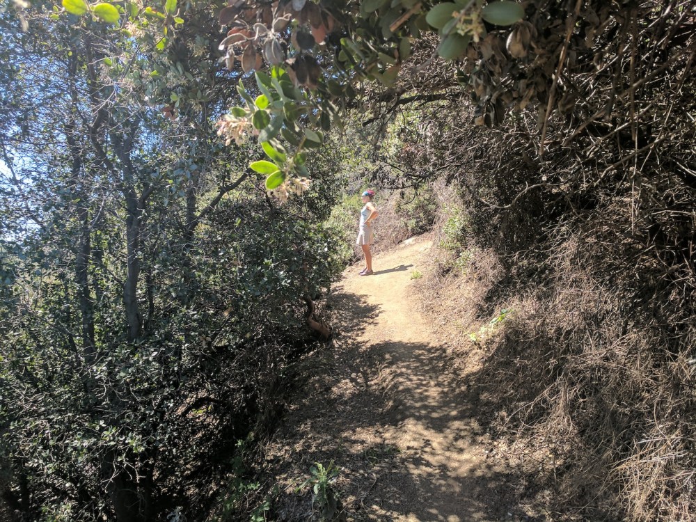
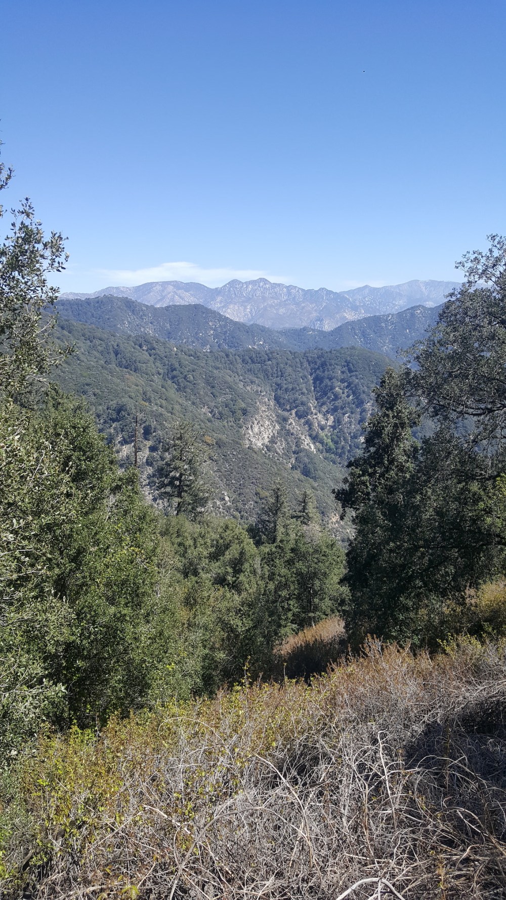
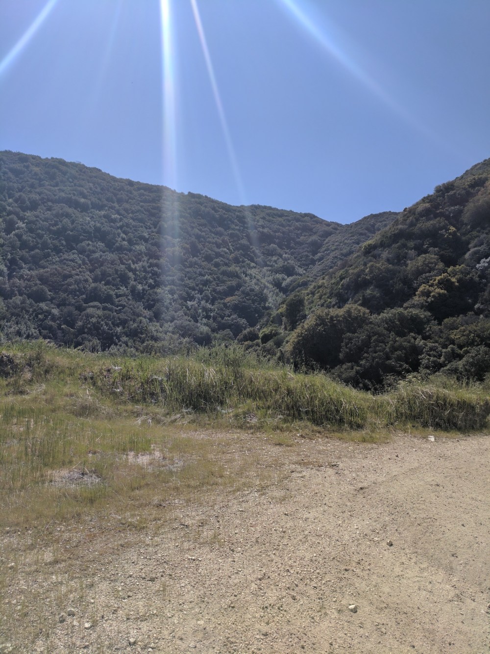
An hour of ascent from Hoegee’s, and the easterly views start re-emerging.

Up in pine territory.

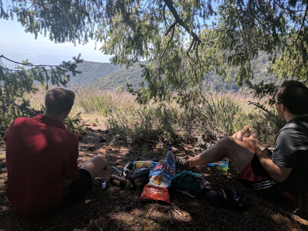
2.5 hours from the start, our perfect picnic pine below Wilson.
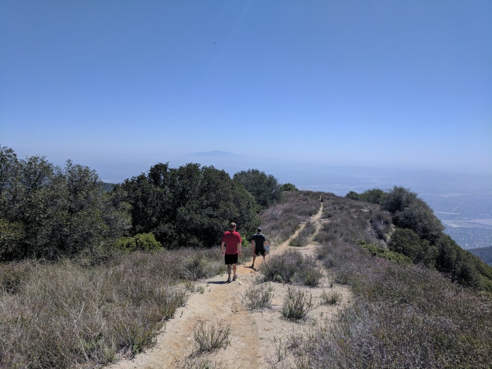
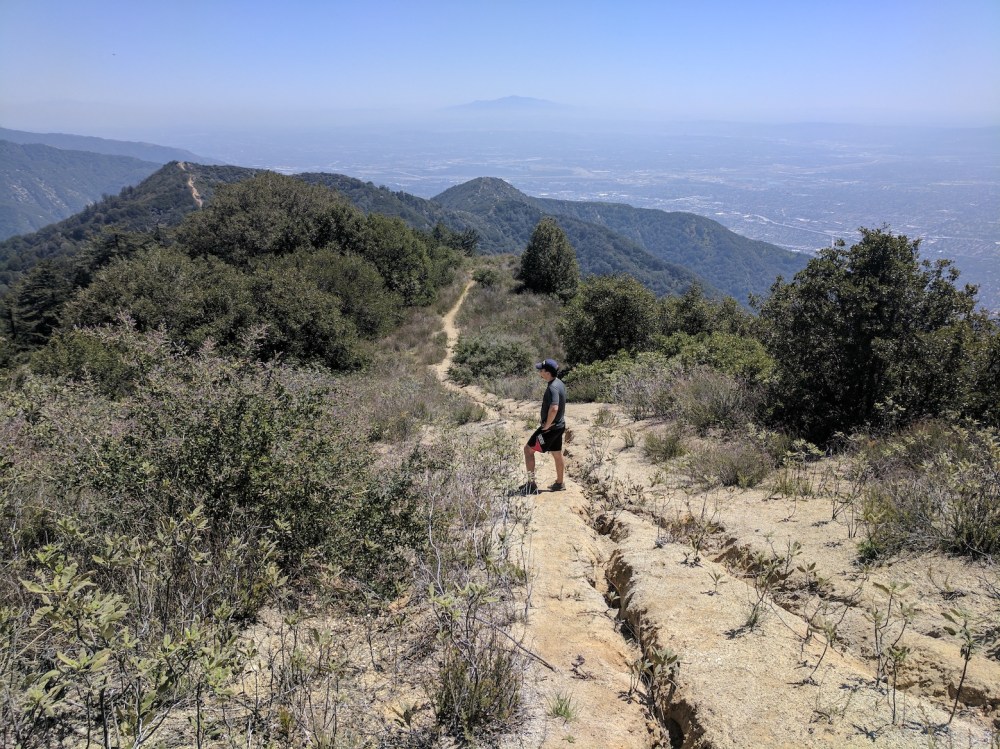
Setting off lunch-filled along the ridge.
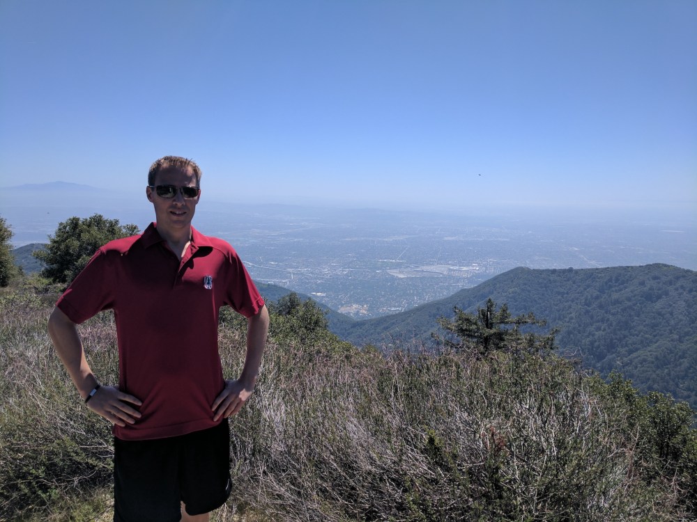
Proprietorial over Arcadia.
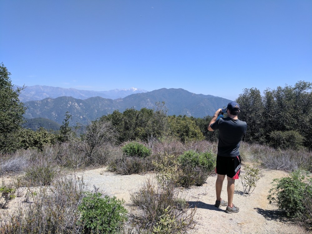
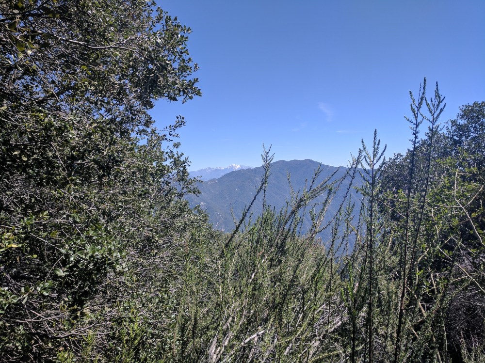
Photographing Baldy and the High Country.
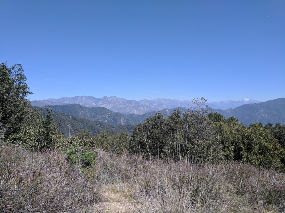
Monrovia Peak to the east.
Our route down the current knob.
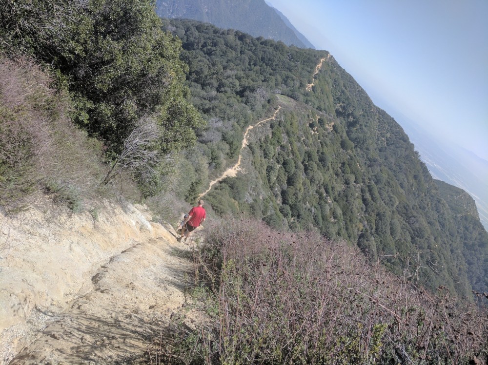
Some vertiginous fun.
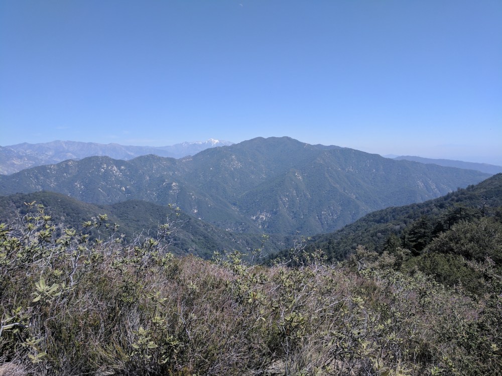
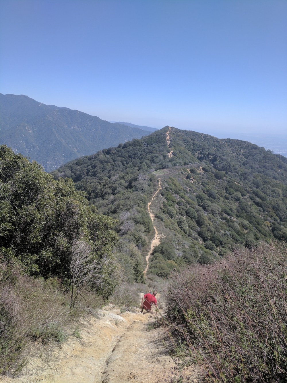
Lookout from another knob.
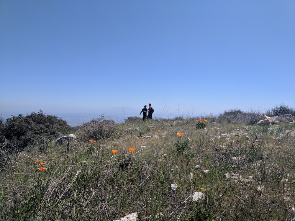
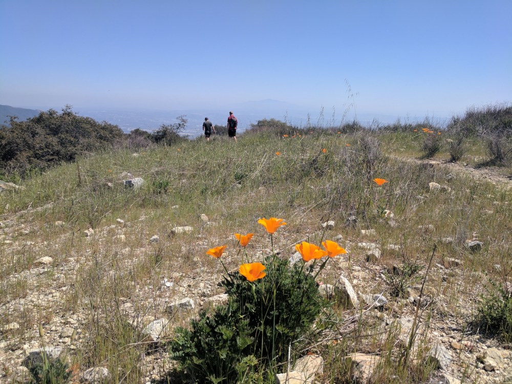
An hour from lunch, California poppies en route.
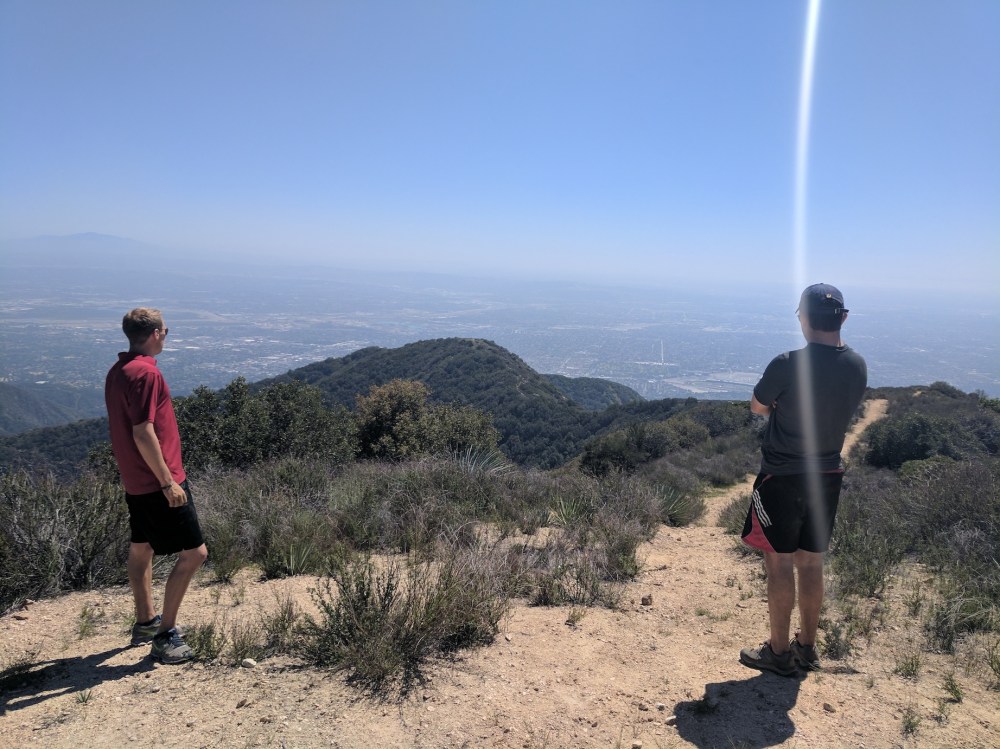
1.5 hours from lunch, the water tank that marks the end of the ridge trail.
2 hours from lunch (5 hours from the start), back down to the deciduous forest and the service road.
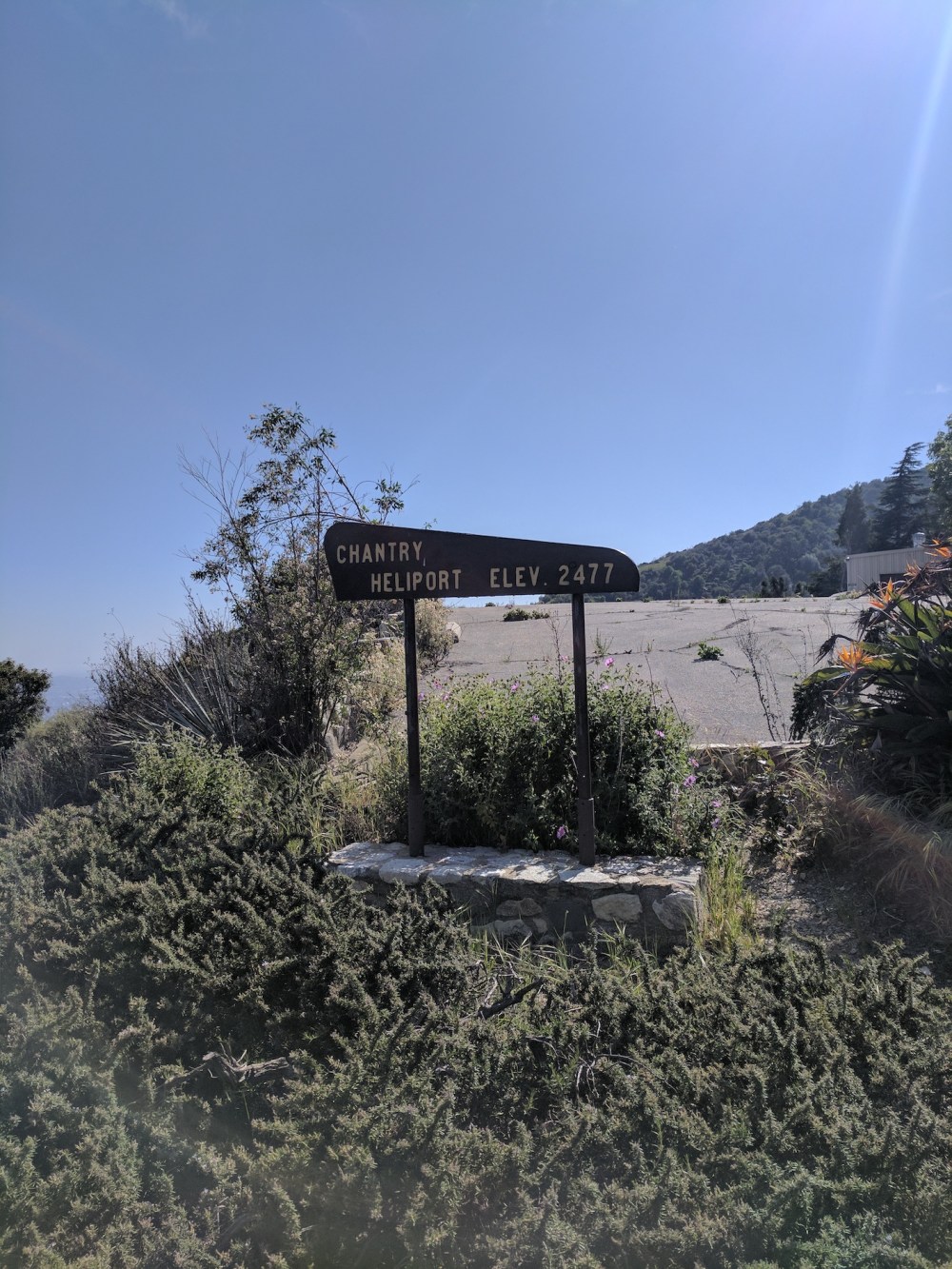
Another half-hour, the heliport…
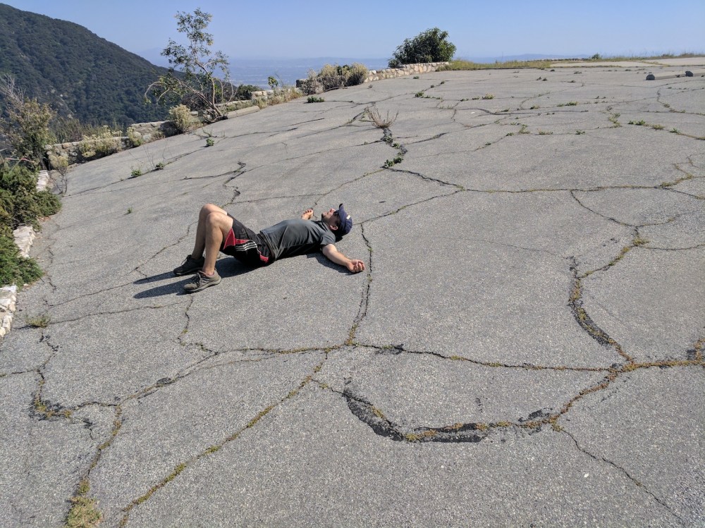
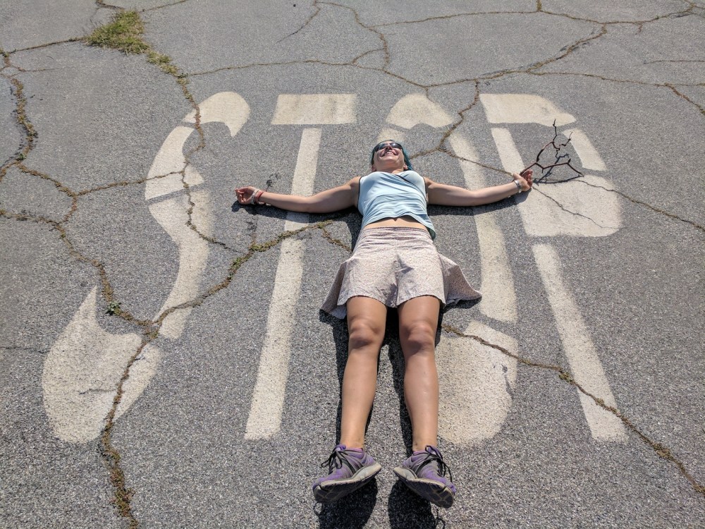
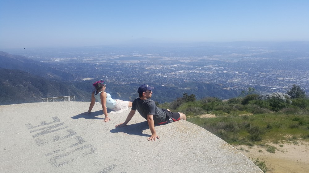
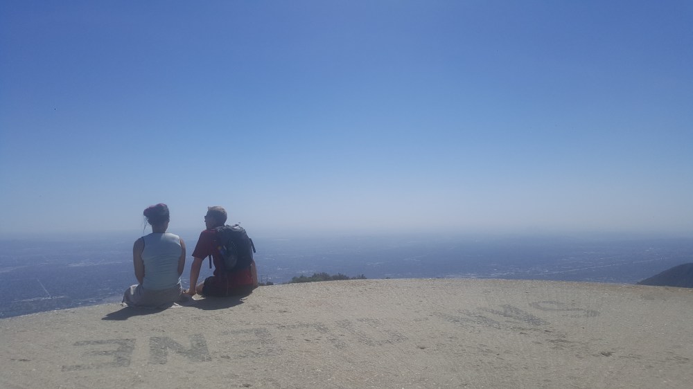
…more useful as a sunbed.
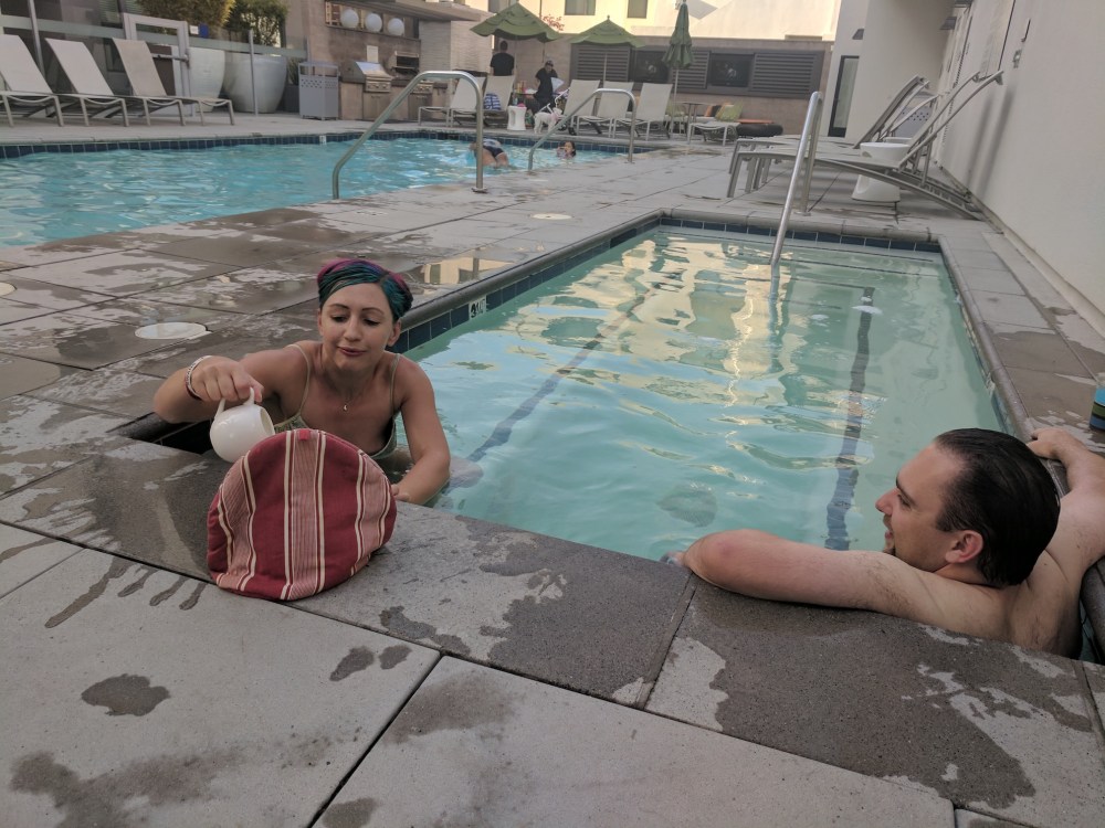

The three phases of après-hike.

One thought on “Hoegee’s Camp loop”