Distance: 6 miles (9.7 km)
Time: don’t really remember, sorry!
Elevation gain/loss: 1,800 feet (549 metres)
Difficulty: terrain-wise, navigation-wise, and fitness-wise, easy-moderate
Drive: 15 minutes (6.7 miles) from old town Pasadena (straight up Fair Oaks Avenue to the end, left on to Loma Alta Drive, right on to Chaney Trail, through an unlocked gate, and just over a mile to the Sunset Ridge trailhead parking area)
Helpful description from Dan’s Hiking Pages here
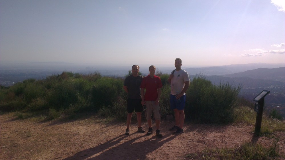
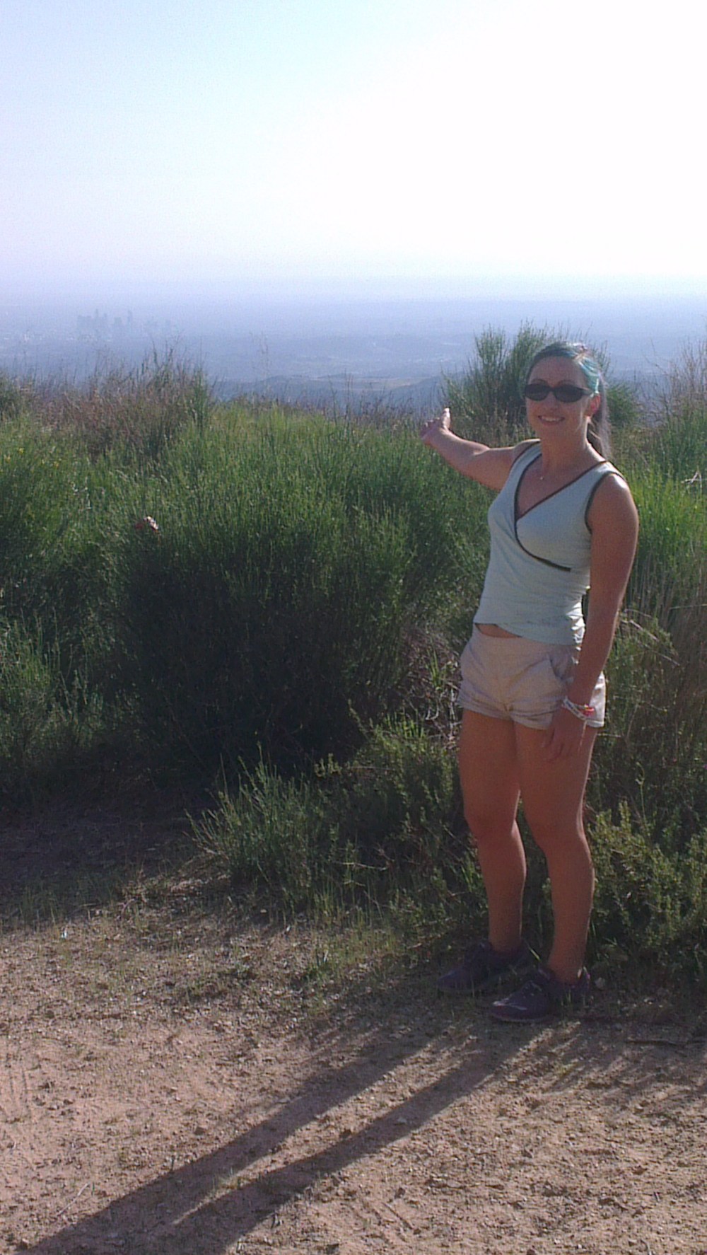
This is a hike with a little history to it, and a mixture of woodland and wide views, all right on the outskirts of Pasadena. A fun outing with our friends Simon and Nik!
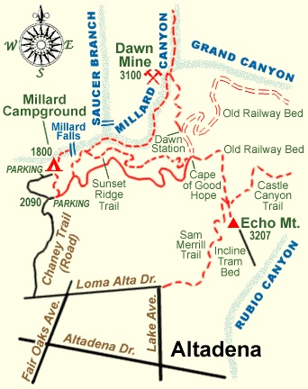
After walking east on the paved road and joining the Sunset Ridge trail after a few hundred metres, after a few bends (about a mile in) you get to a junction where the Sunset trail heads off right and the route down into the canyon goes left, down to a stream bed.
You have to pick your way along between boulders for about seven minutes (all timings according to Hiker Dan!) until you get to a branching of the canyon and a splitting of the stream. Apparently the tributary off to the left is the Saucer Branch and features a dangerous path and lots of poison oak, so keep right. After a bend and a tall rock face, make sure to keep high on the west bank where the path passes a rusty pipe if you want to avoid a huge boulder field.
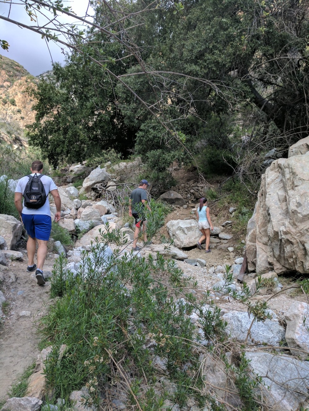
After about 20 minutes’ more following and crossing of the stream bed, you pass under a suspended water pipe, ignoring the trail to the right, and the canyon narrows around you. Then you get to the Mine, with two steel beams jutting out from the rock marking the entrance just beyond, and a nice bit of authentic old machinery to clamber around on.
The mineshaft itself is creepy as hell; we only went a few metres in, with rubbish phone torches, before it started to feel like not a nice idea.
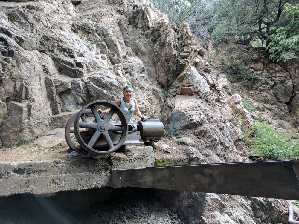
You can go back the way you came (saving a mile, and about 600 feet / 180 metres elevation gain), but then you’ll miss the best part, i.e. the part not trapped in gloomy woods. The other way is to keep east as you leave the mine, zigzagging up the slope of a little ridge to a junction with the path for the Tom Sloan Saddle. We had a brief crisps-and-beer stop here before taking the other path, south-east, towards Dawn Station.
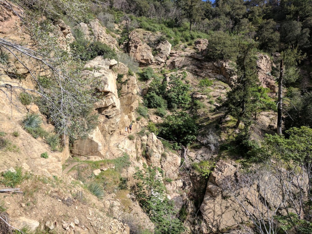
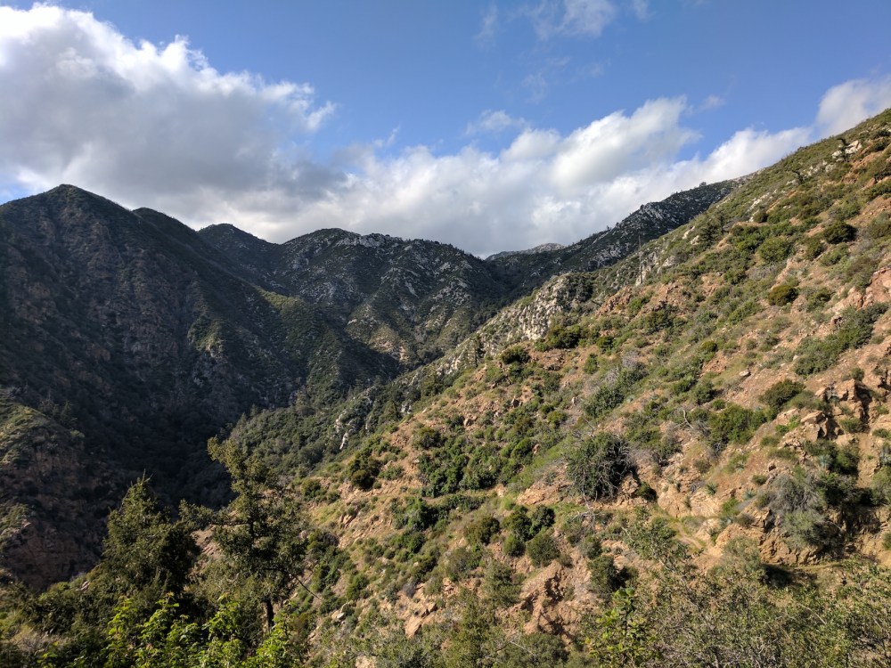
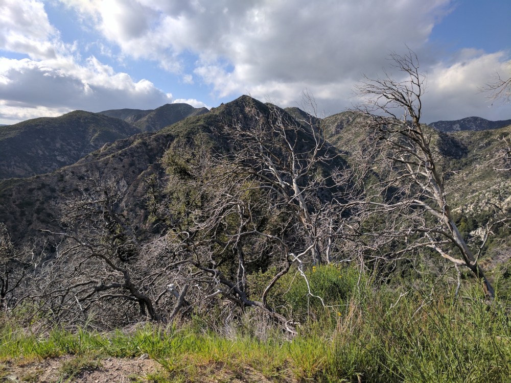
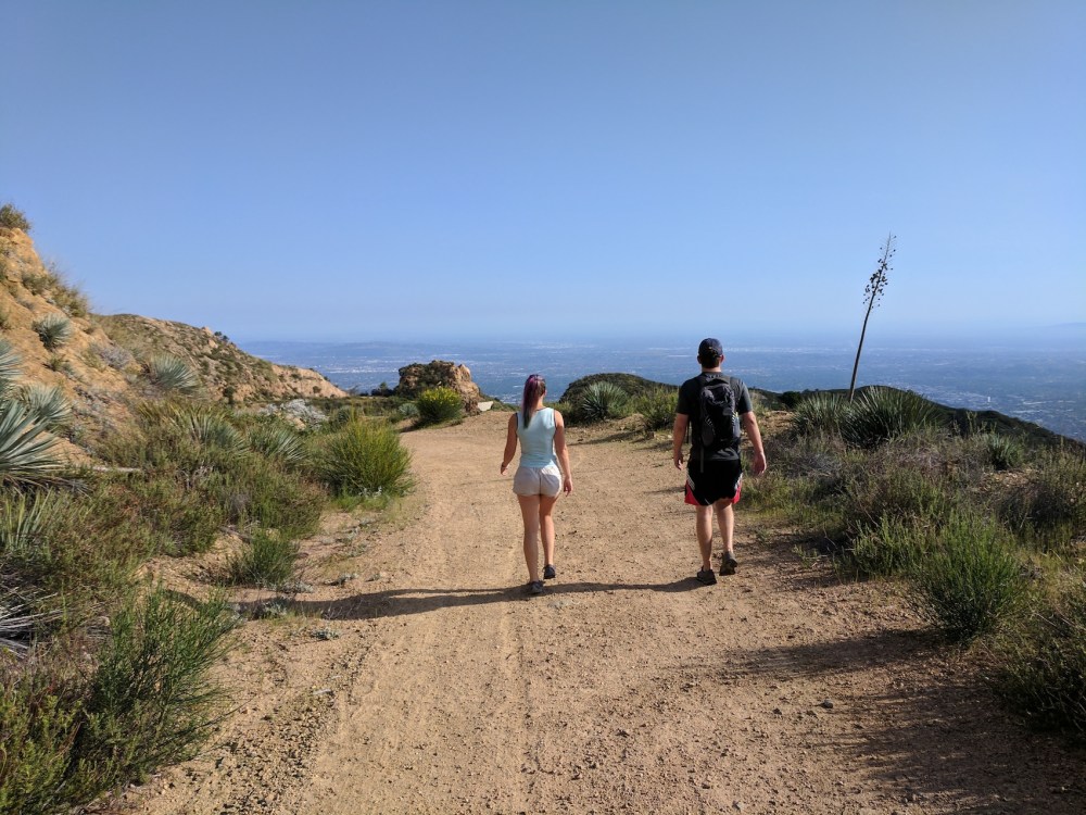
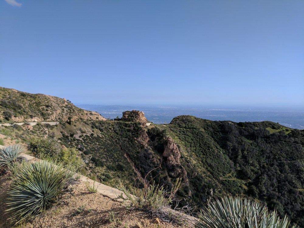
Now you’re on the path the poor donkeys would have taken with the gold ore from the mine up to the Mount Lowe railway in the early 1900s. You leave the trees at last and wonderful views over the canyon open up as you skirt under rock faces and navigate a few loose patches underfoot.
(Spot the mini walkers!)
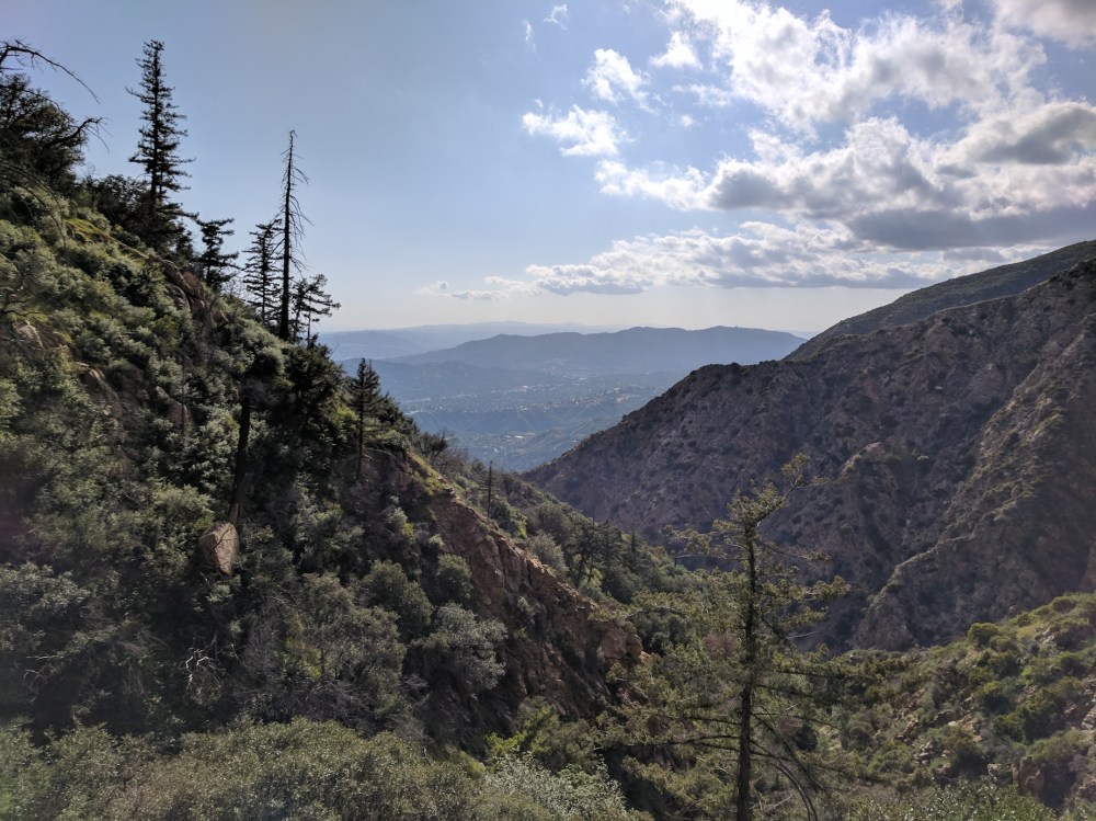
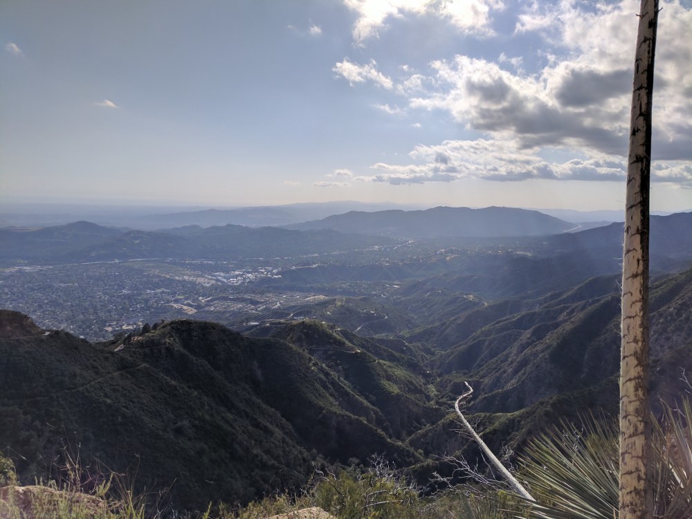
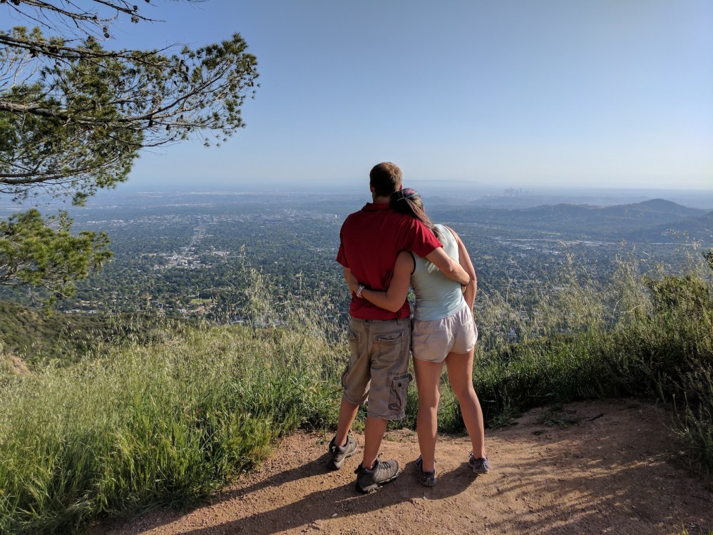
And in about 0.7 mile (1.1 km) you reach the Mount Lowe fire road, and Dawn Station, and enjoy dramatic northerly, westerly, and southerly views.
Now it’s a simple stretch down the fire road with Pasadena and downtown LA views beckoning you on.
First it’s a few hundred metres down to the slightly hubristically named Cape of Good Hope (i.e. the little lump on the photo above), where you meet the route of the old Echo Mountain railway, and then on a paved surface another hundred metres back to the Sunset Ridge Trail. (You can also just be boring and stay on the fire road at this point if you prefer the sun and the views.)
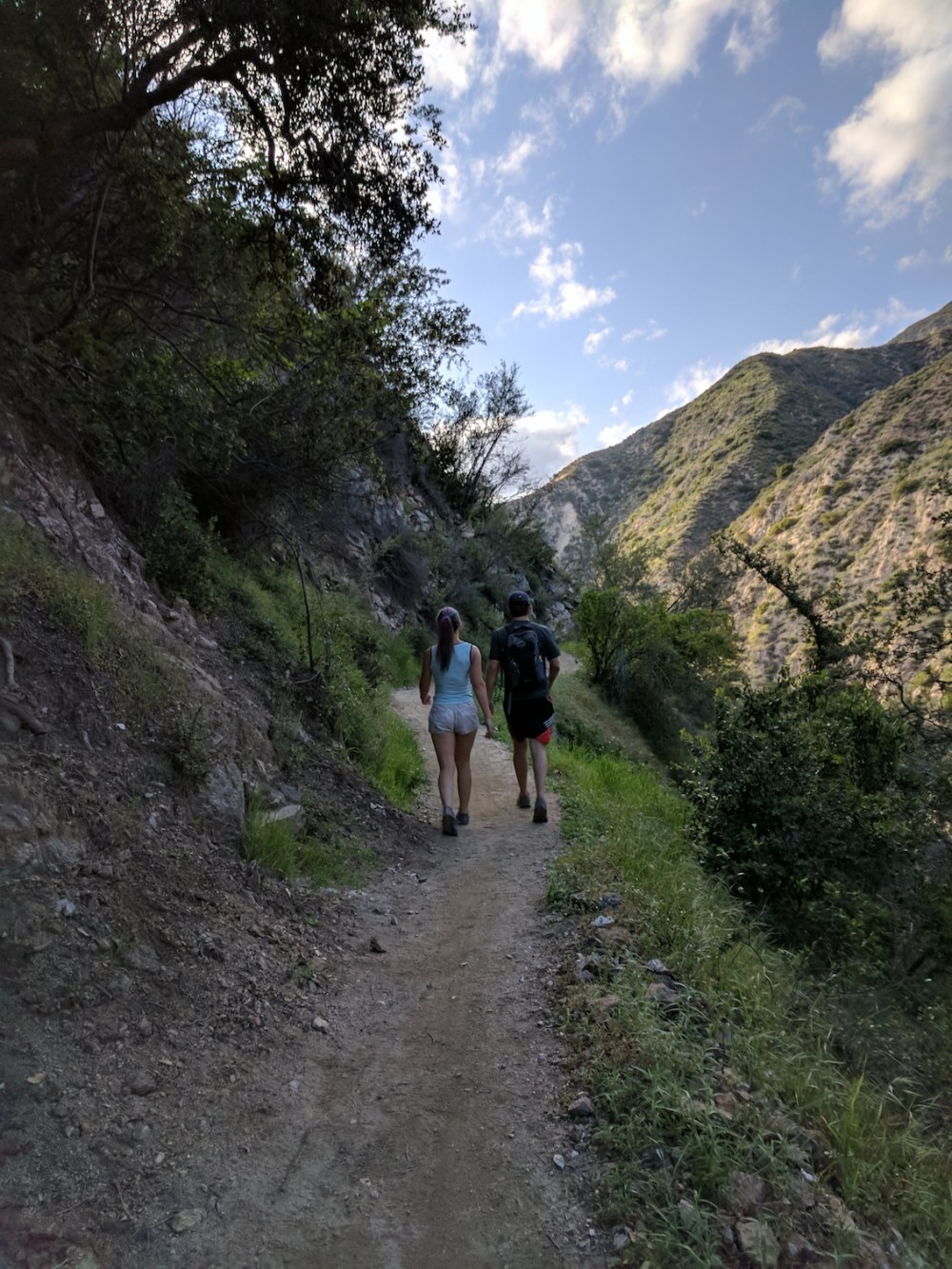
The trail winds west back into Millard Canyon and the trees, down to a junction near the canyon bottom where you go left and head back to the road, turning right back to where you parked.

One thought on “Dawn Mine”