Distance: 8 miles (12.9 km) there and back
Time: about 3.5 hours including lunch
Elevation gain: 400 feet (122 metres)
Difficulty: terrain-wise, easy; navigation-wise, easy to moderate; fitness-wise, easy
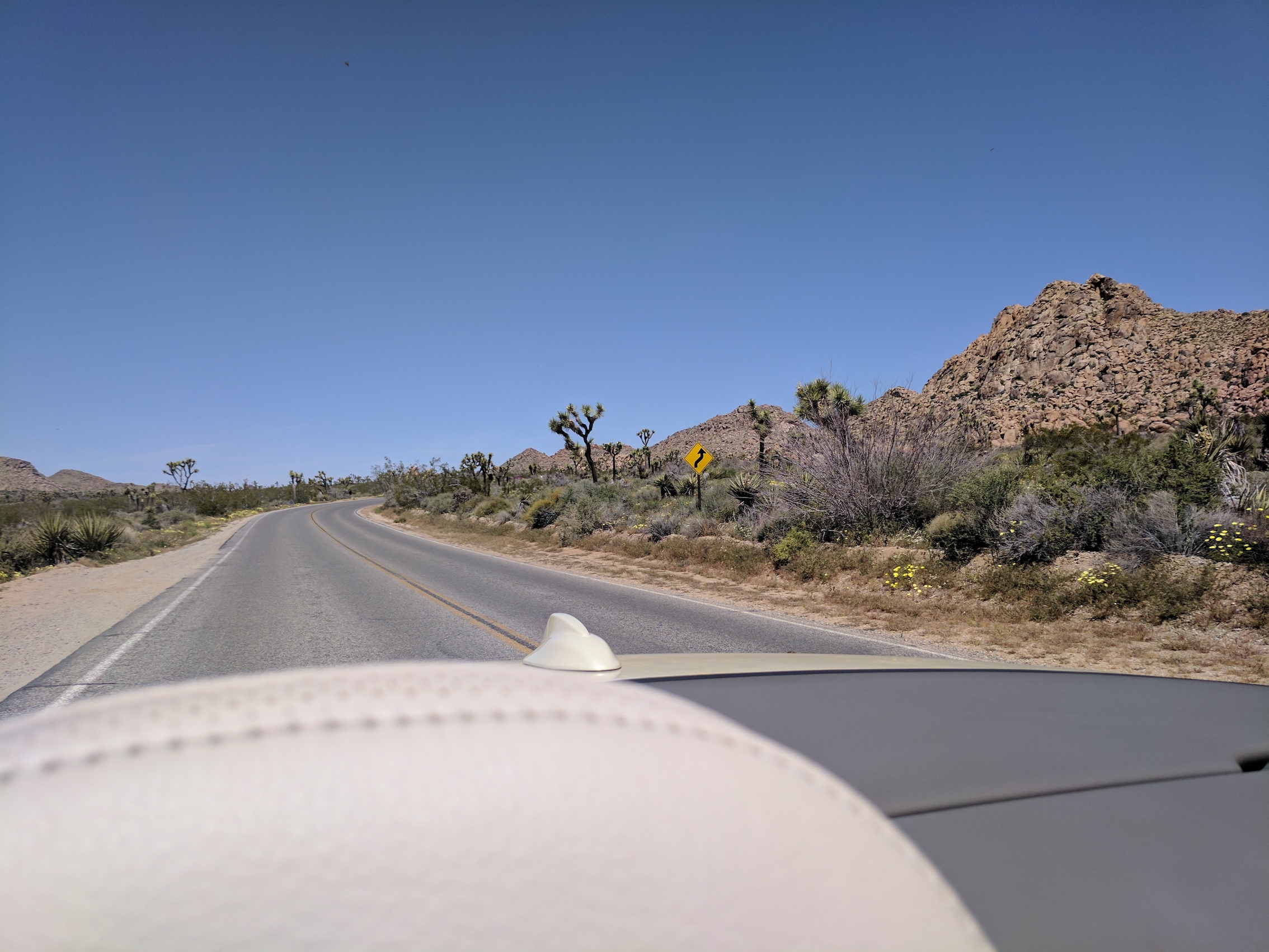
Drive: about 2.5 hours (135 miles) from old town Pasadena, east on the 210, the 10, and the 62, and then a right turn at Joshua Tree onto Park Blvd for the final 12 miles to Boy Scout trailhead
Modern Hiker’s description is here
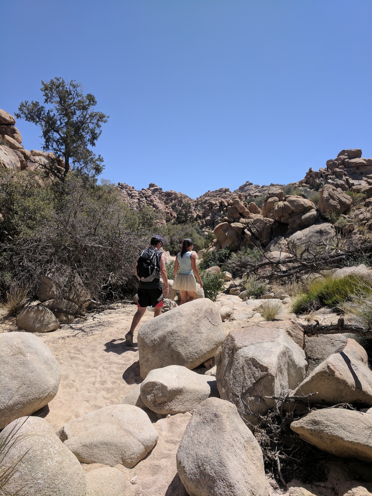
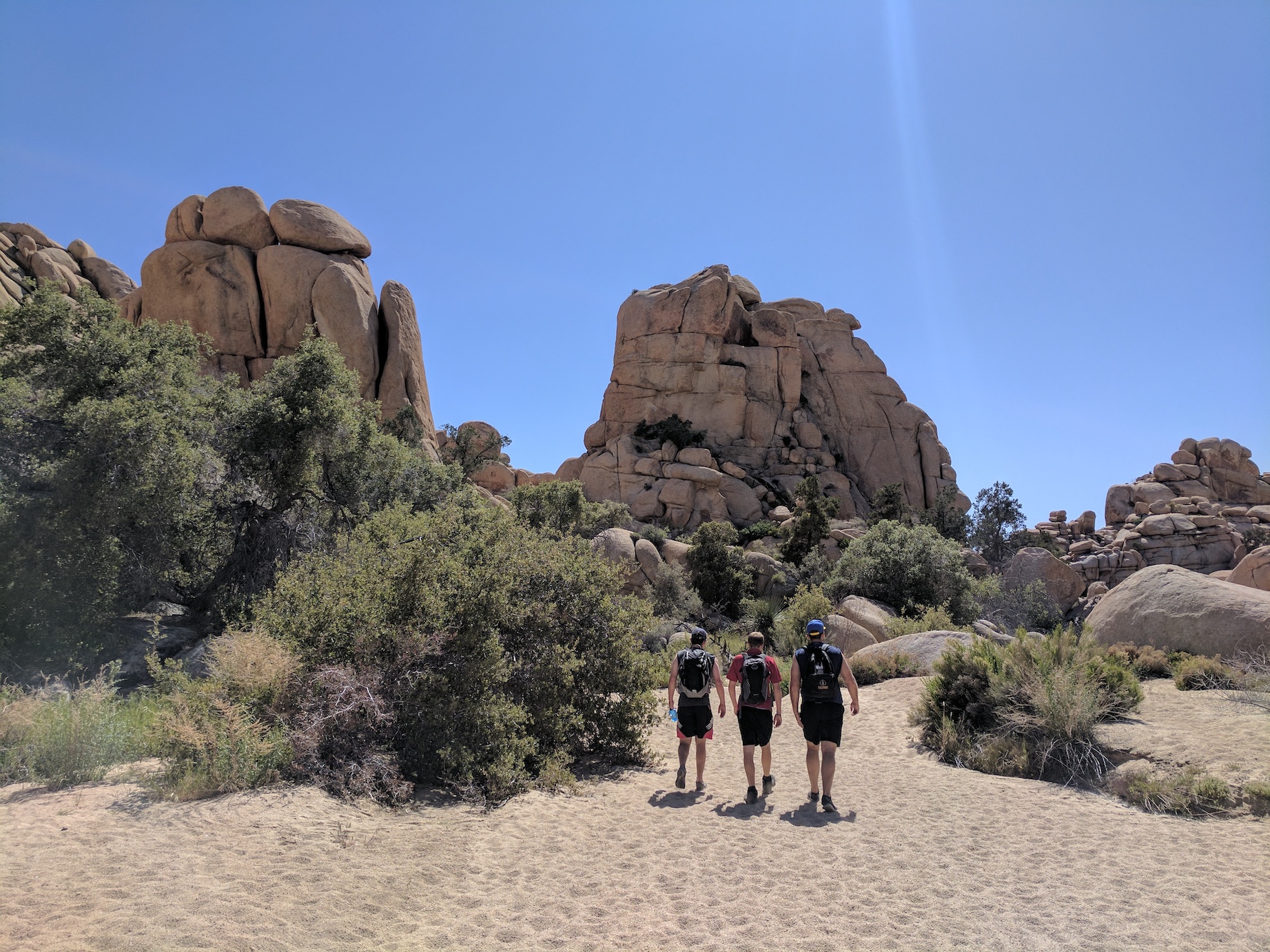
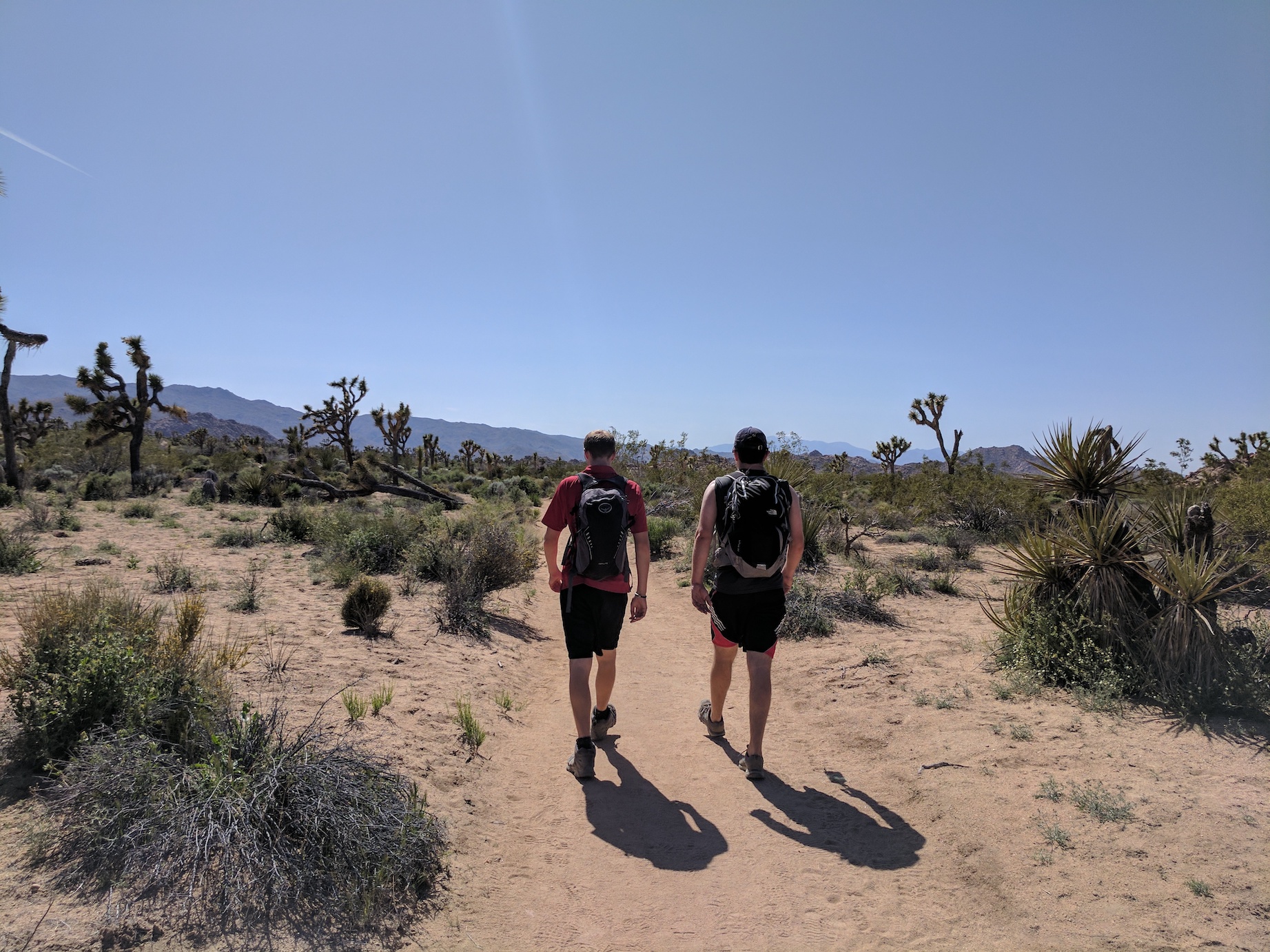
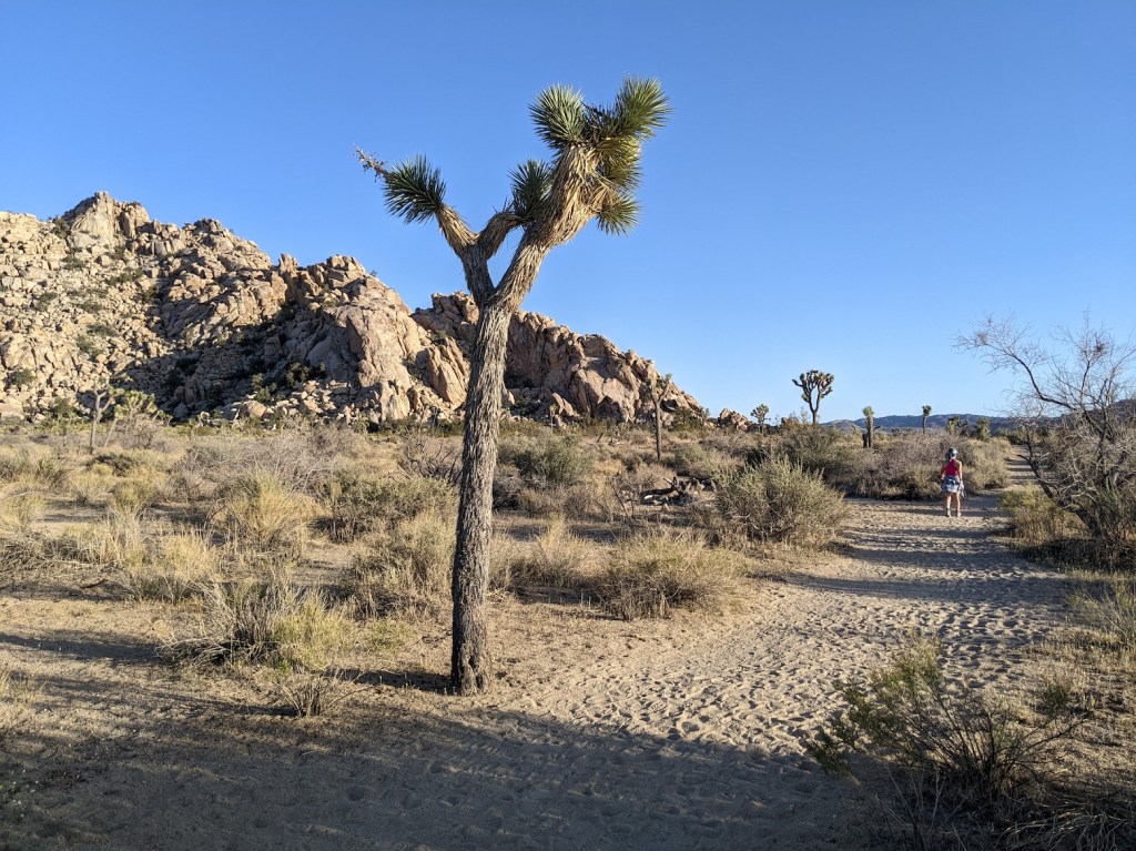
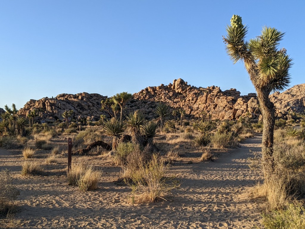
This was our second trip to Joshua Tree, and we came slightly better prepared than for Lost Palms Oasis. We also came with two walking companions, Simon and Nik, and this route was a lovely way to take in the Joshua Tree scenery on a trail that was well marked but not too much frequented and offered some spectacular picnic spots and photo ops. The main attraction is the Wonderland of Rock, and of course the Joshua trees (not real trees, but yuccas) themselves.
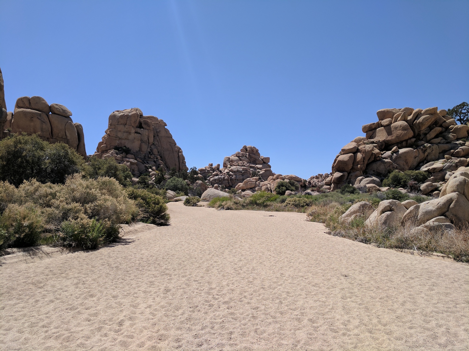
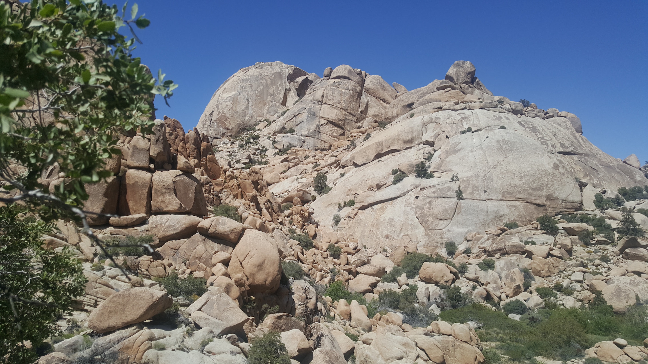
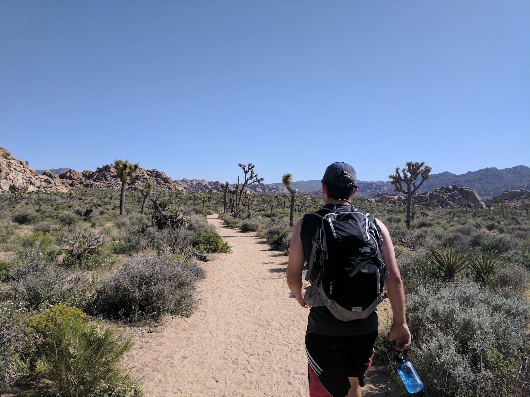
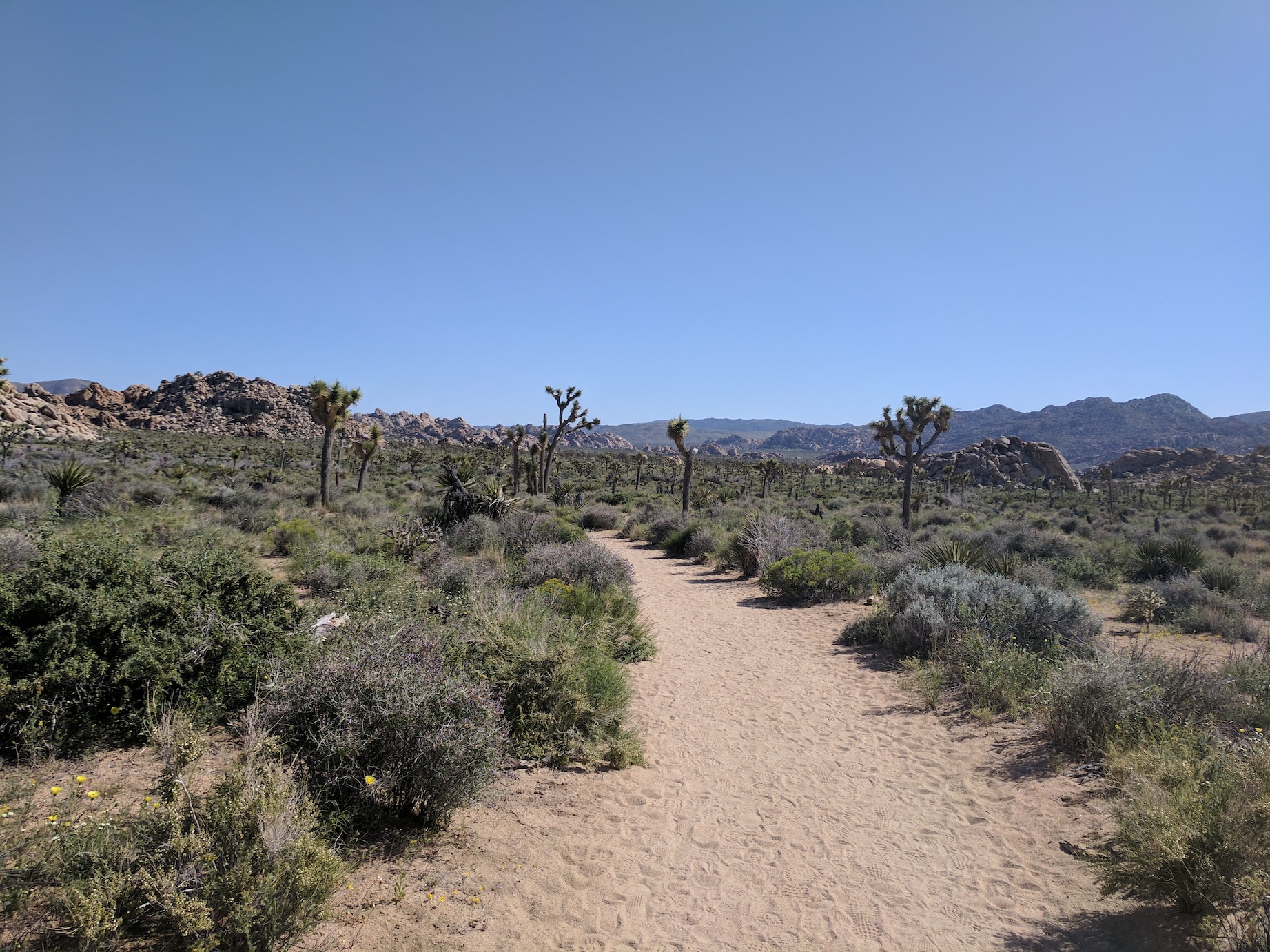
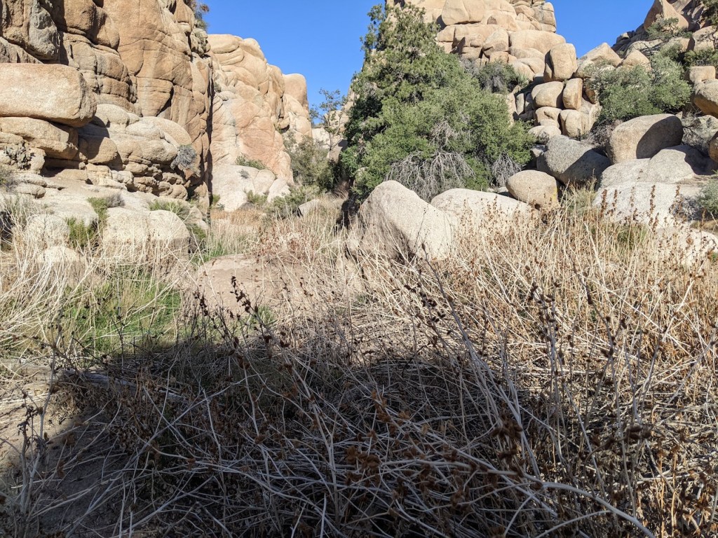
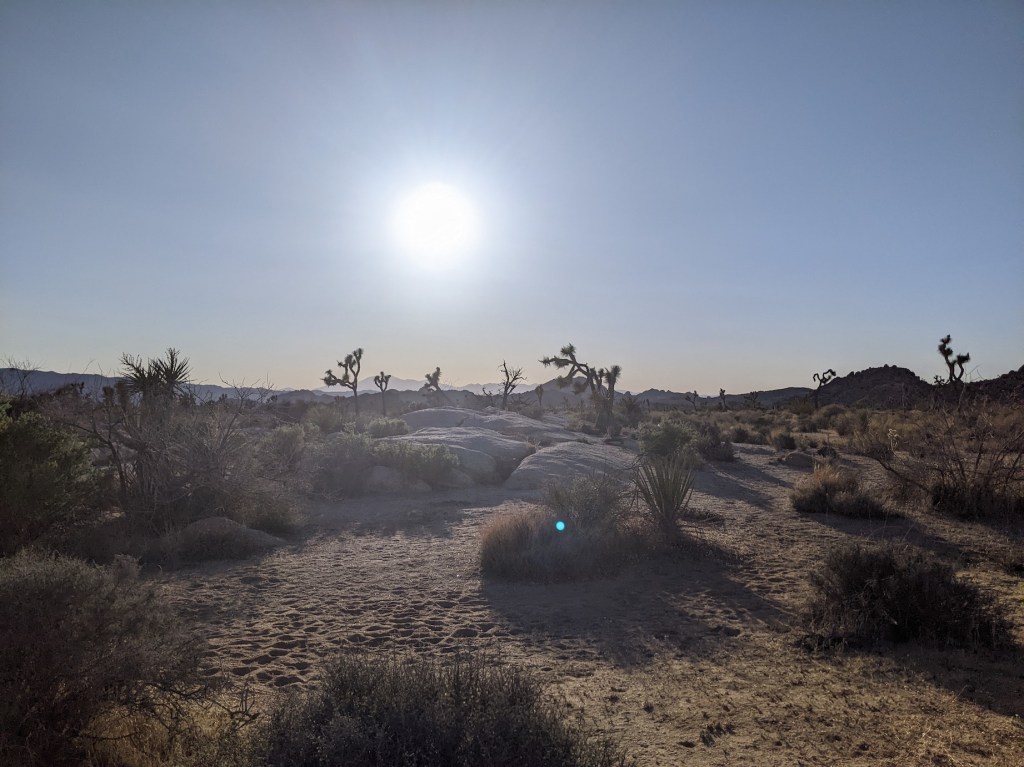
Follow the Boy Scout trail north along flat ground from the car park for about 2.5 miles (4 km), at which point it devolves from a proper path into a wash, but is still marked with sticks and stones to help you keep on track, amidst increasingly impressive monzogranite formations. Around 3.3 miles (5.3 km) the wash widens and curves to the right on the approach to a grove of willows, which you pass through to come out at the deeply unimpressive Willow Hole: a big smelly muddy puddle.
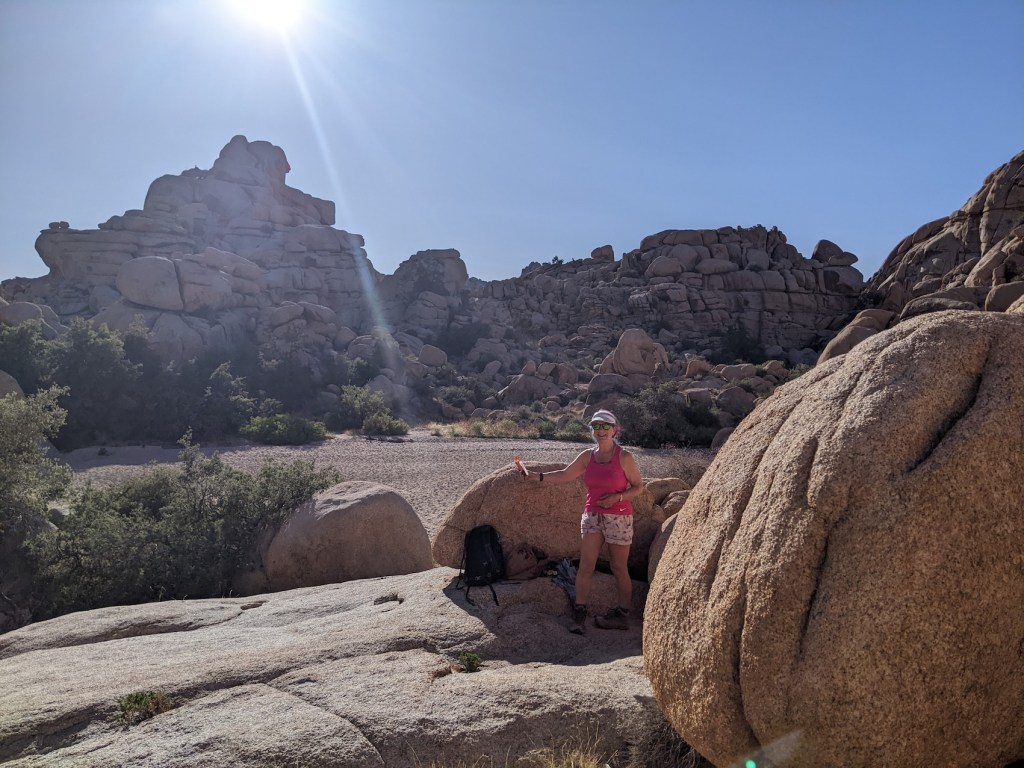
We stopped for lunch in a splendid elevated setting just before the willows, perched high in the midst of Wonderland.
Update: In 2022 my mother Sue and I returned here on our way back to LA from a conference in Tucson. I’ve added some photos from that time at the bottom, including how not to take the wrong turning like we did!
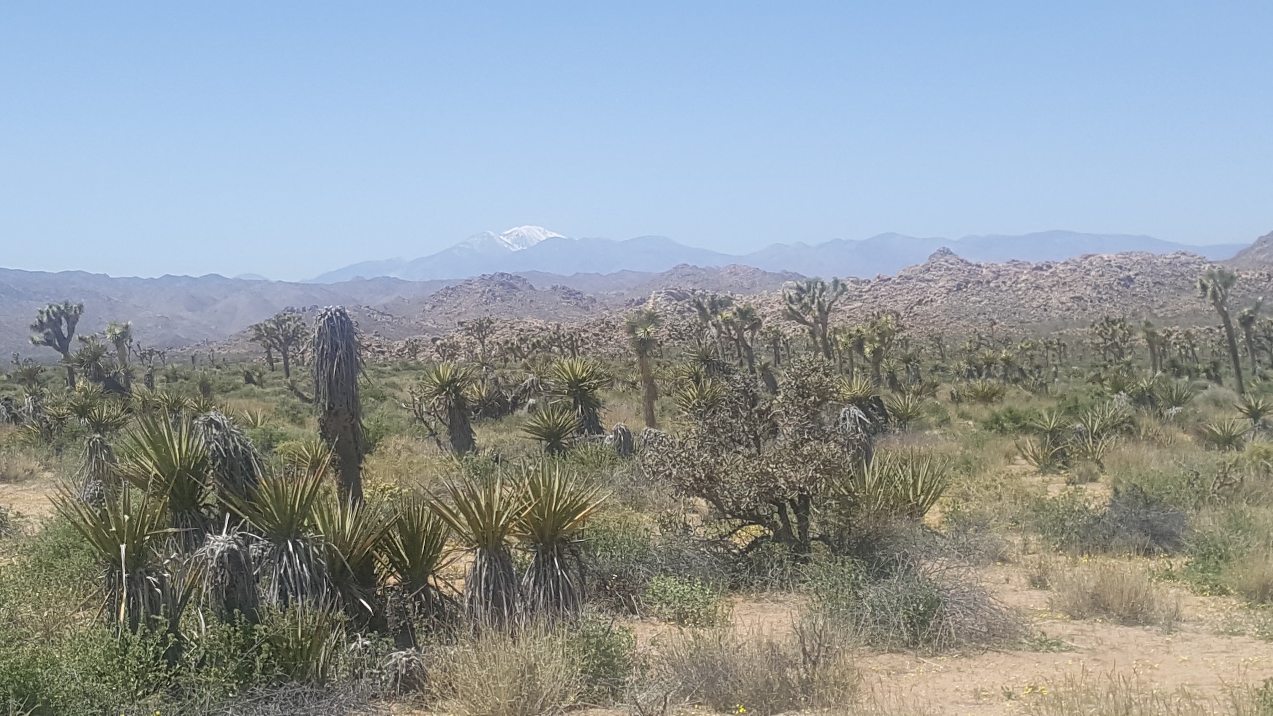
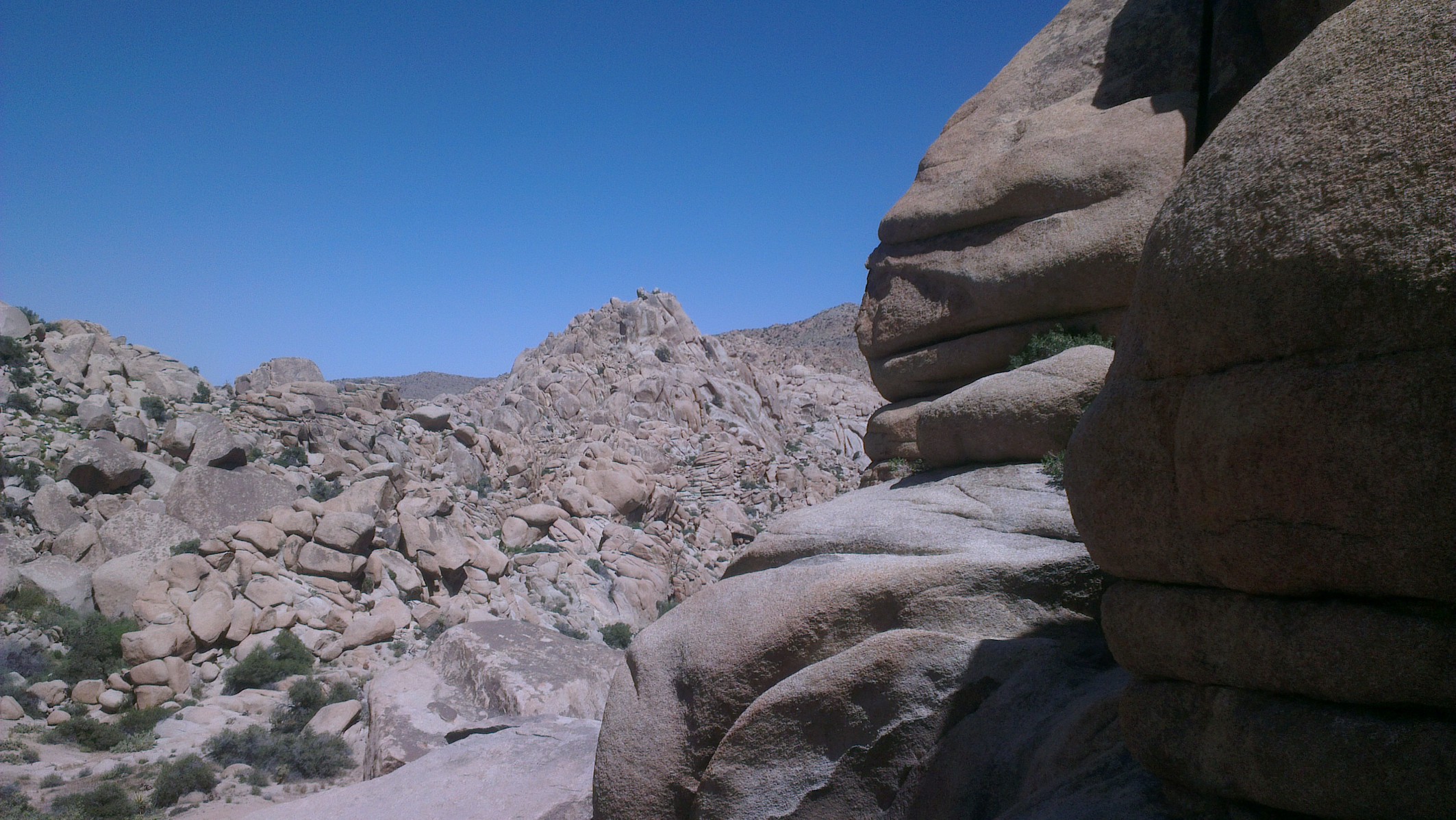
Park views whetting our appetites.
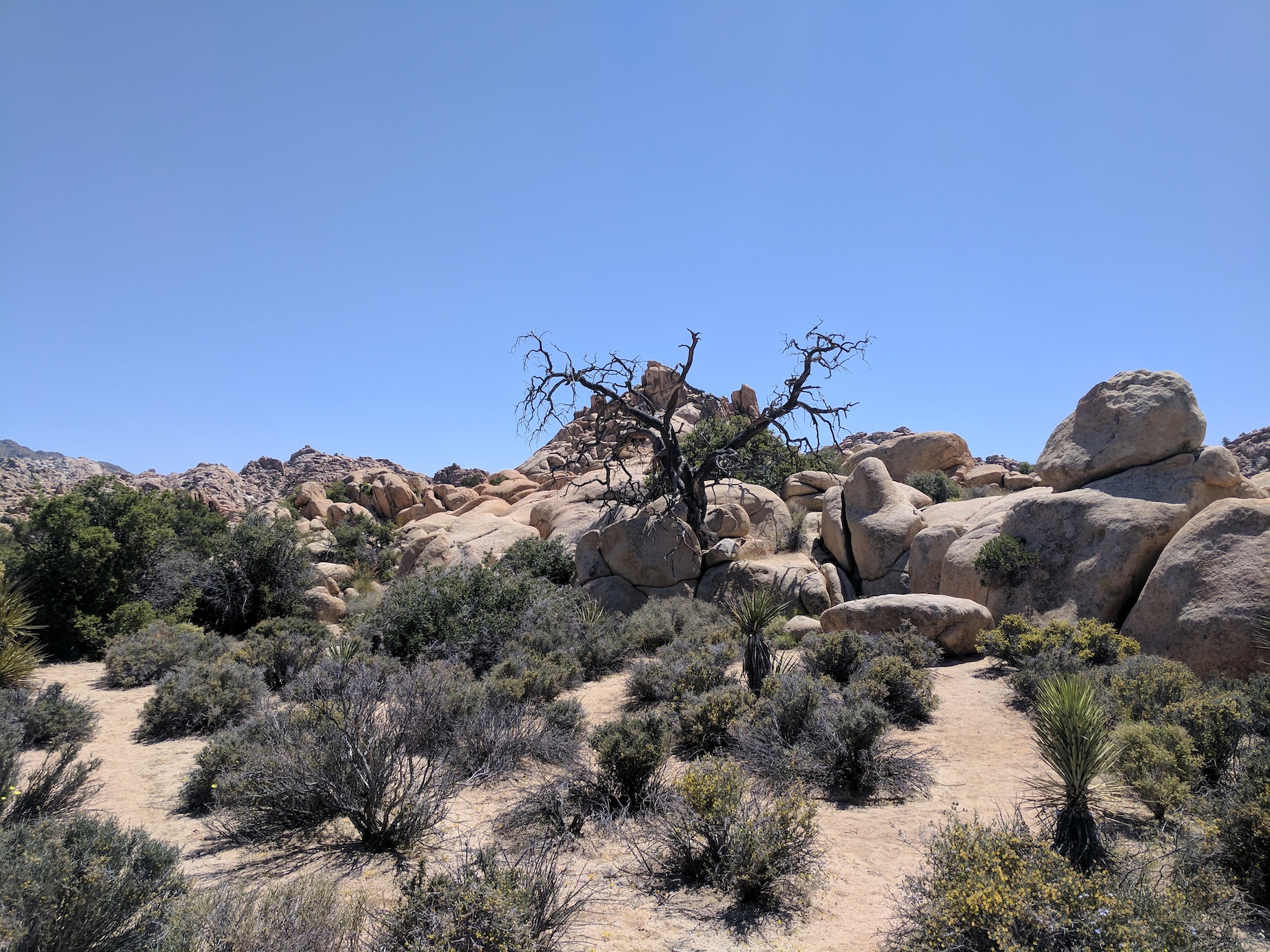
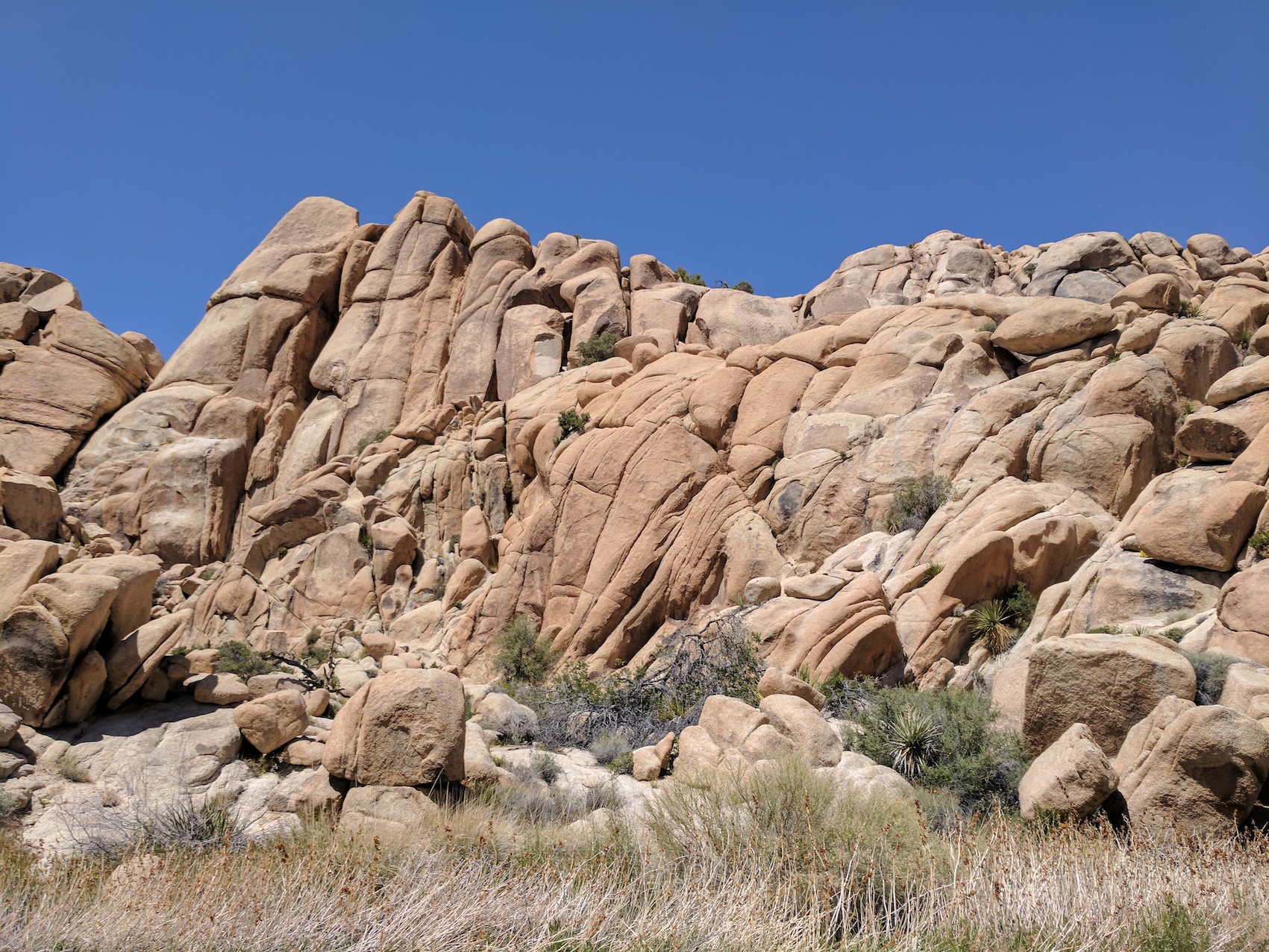
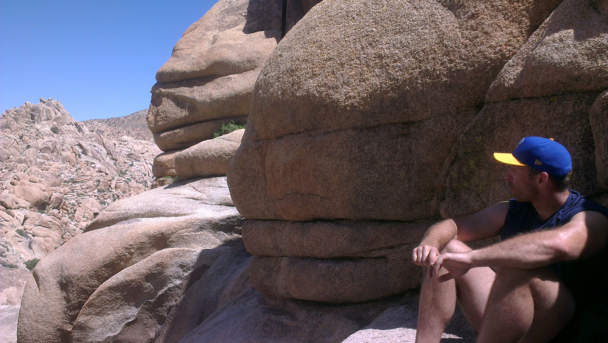
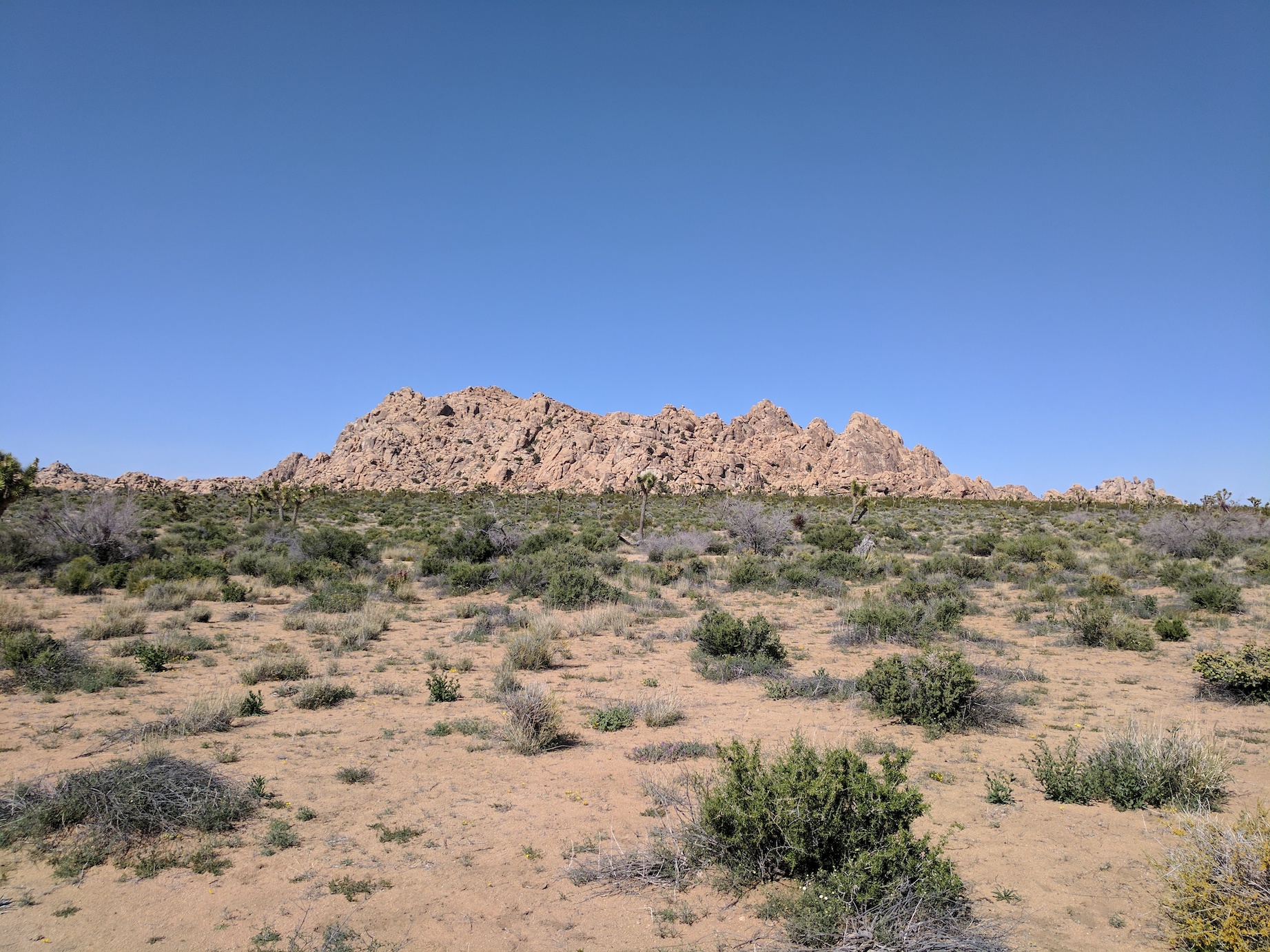
The rocks getting cooler and cooler.
The wash widening to the willow grove.
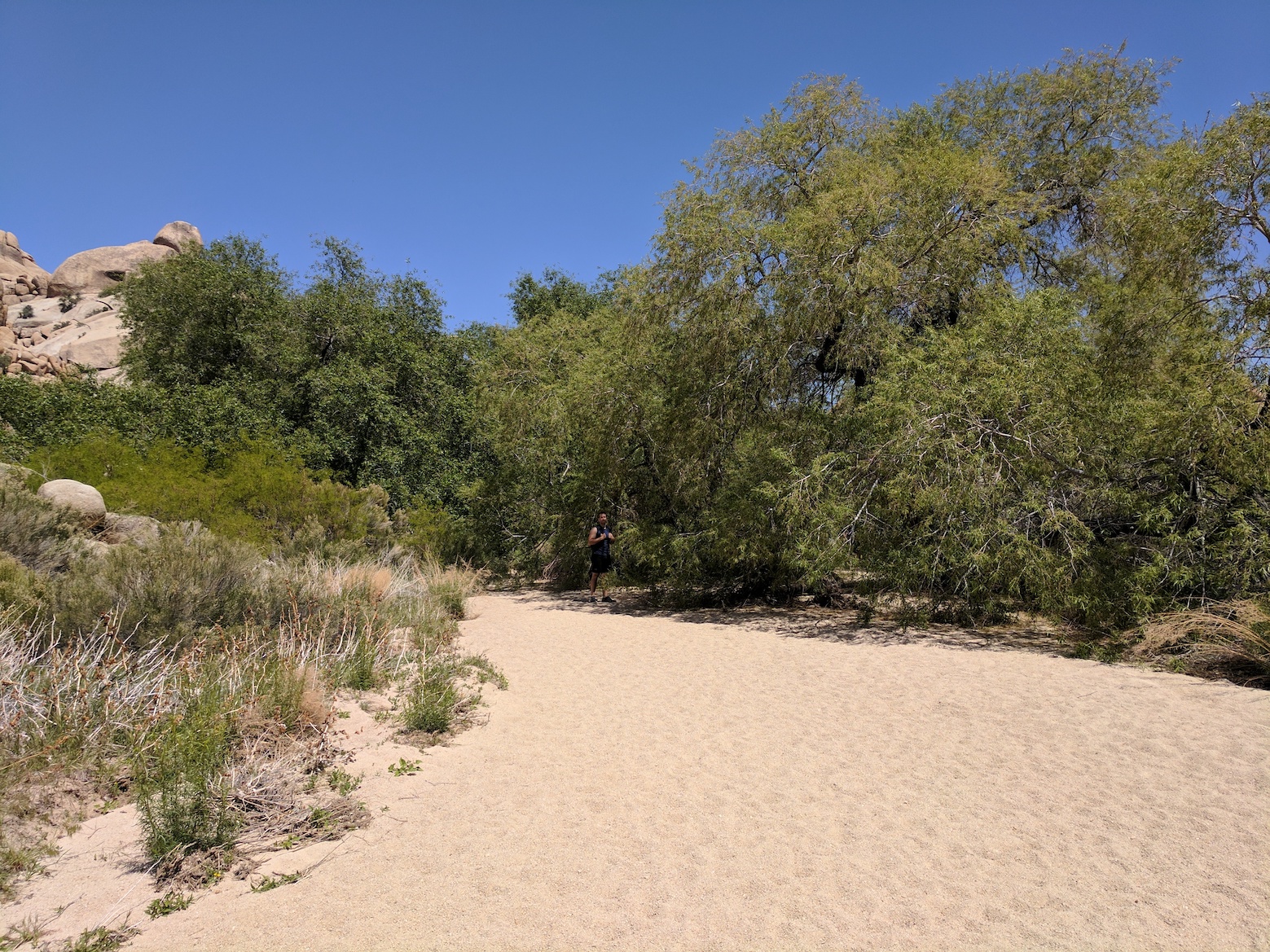
The willow grove.
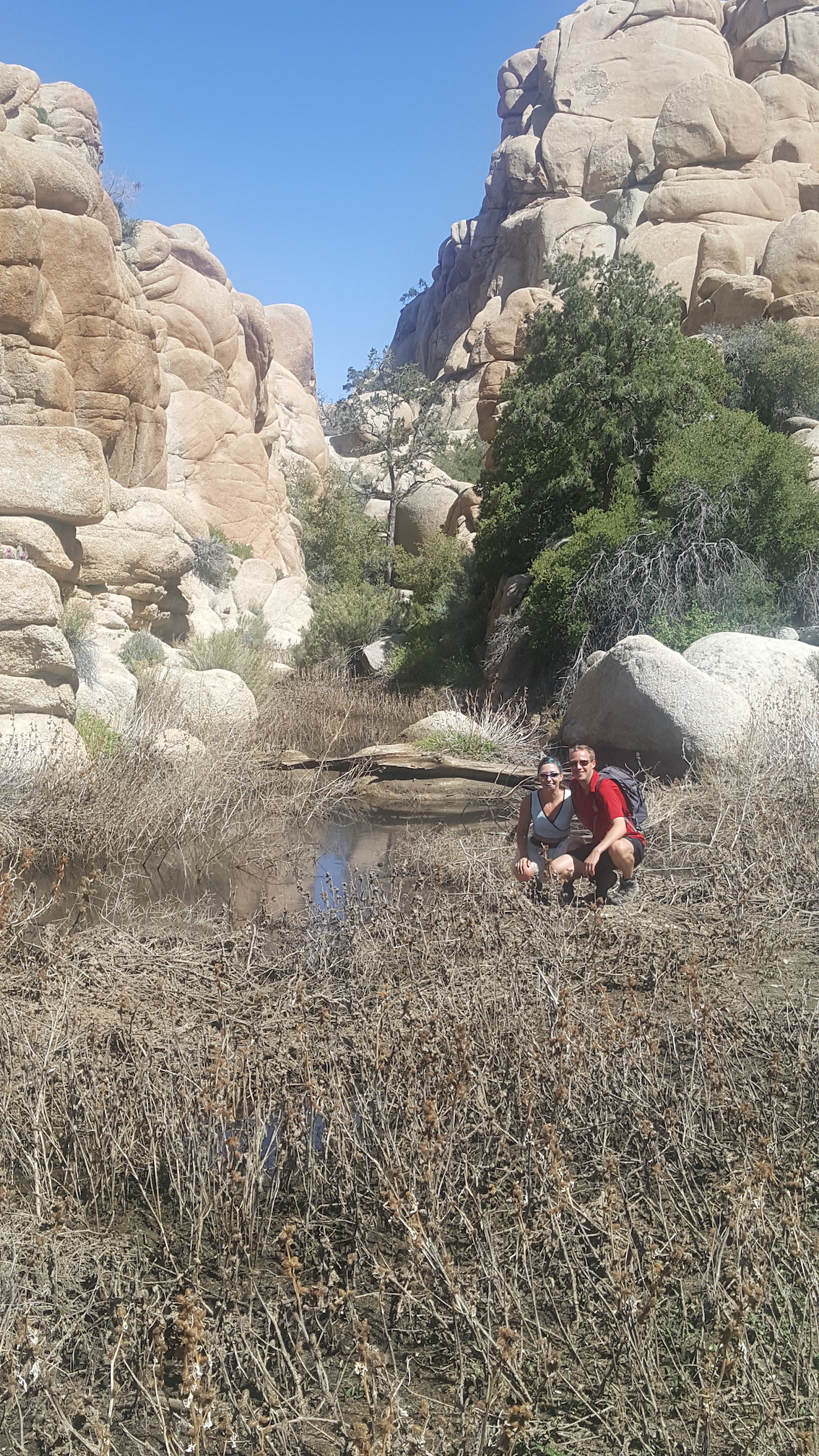
The willow hole: thank god it’s all about the journey not the destination.
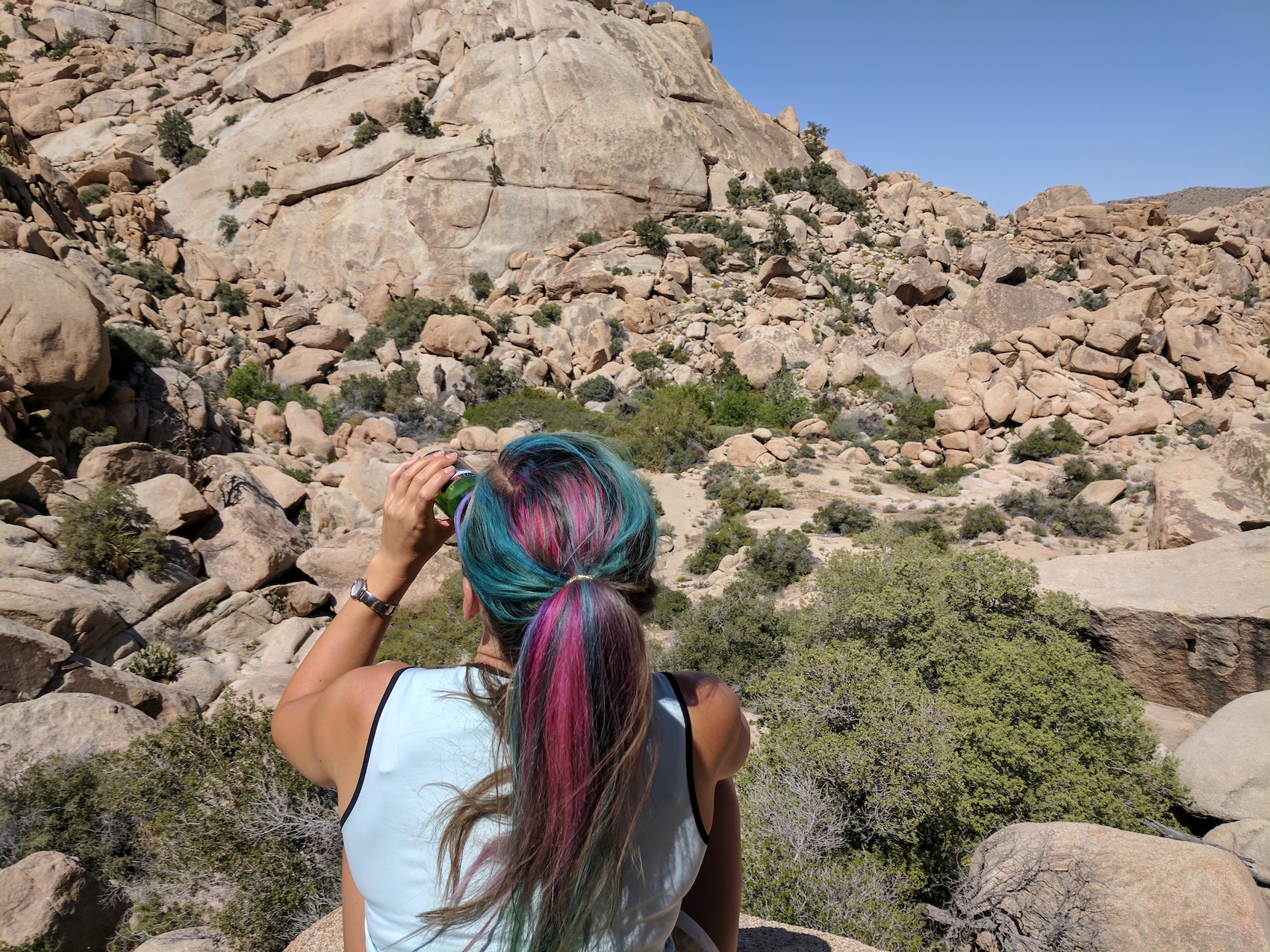
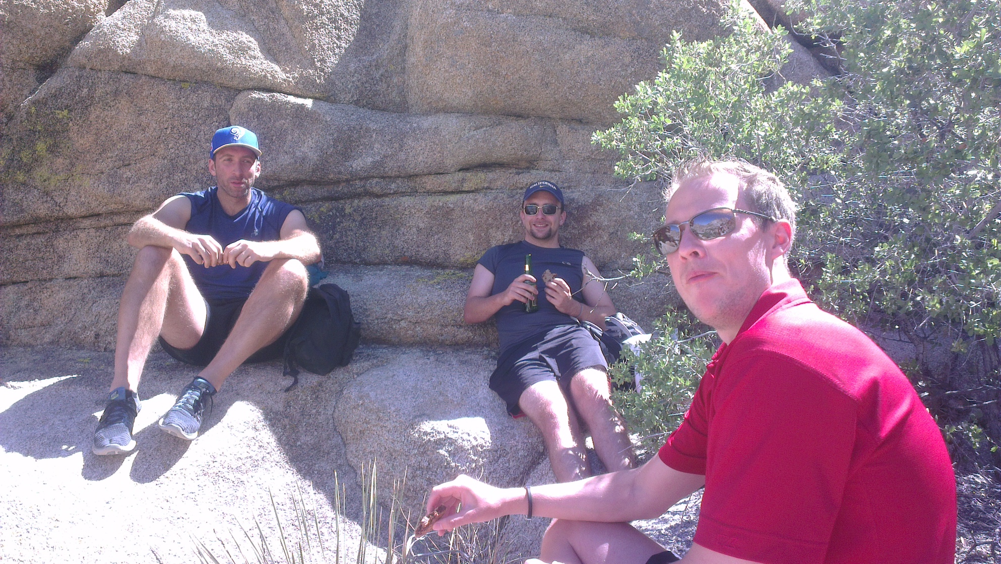
Picnic perfection.
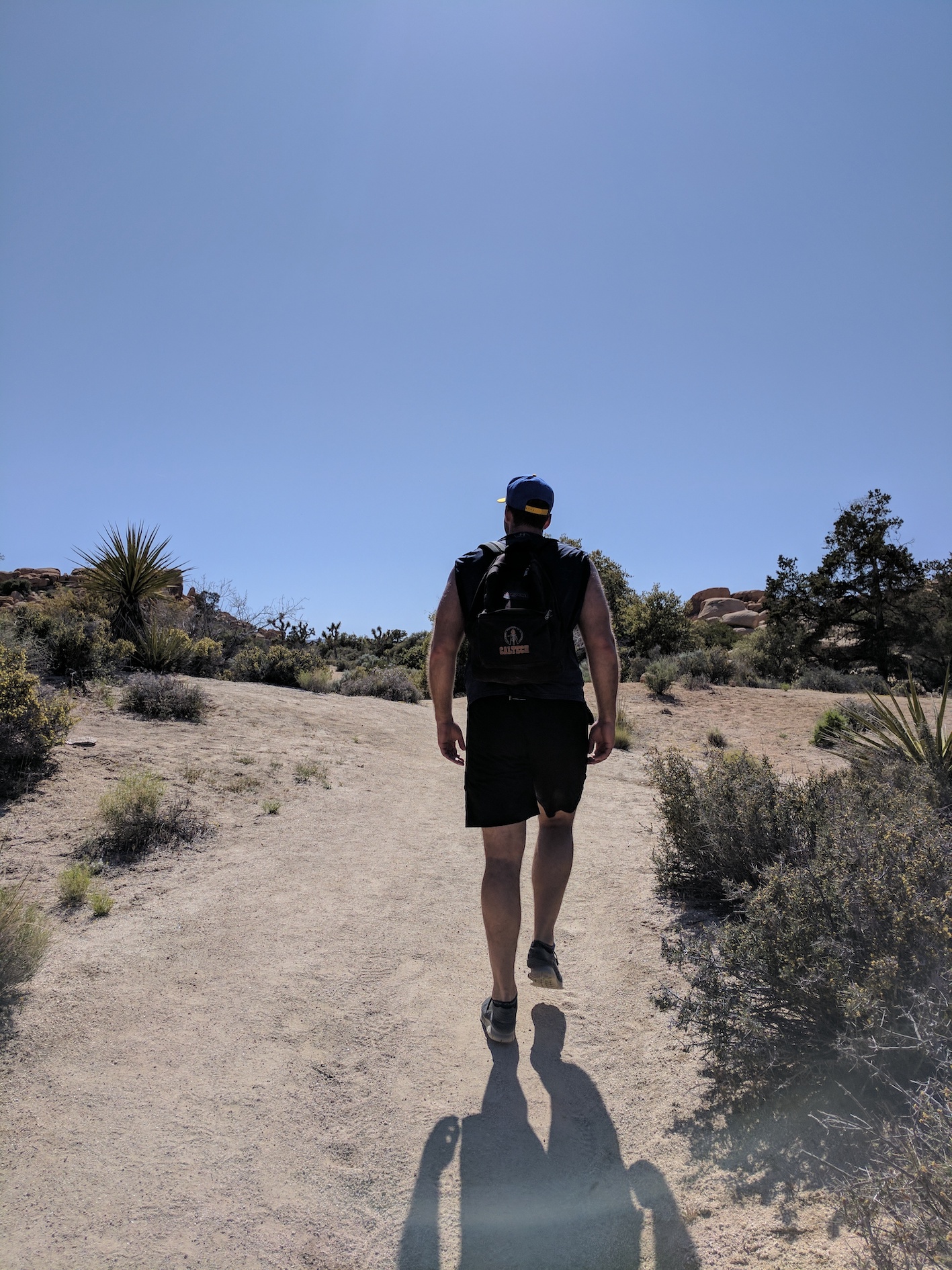
The homeward half.
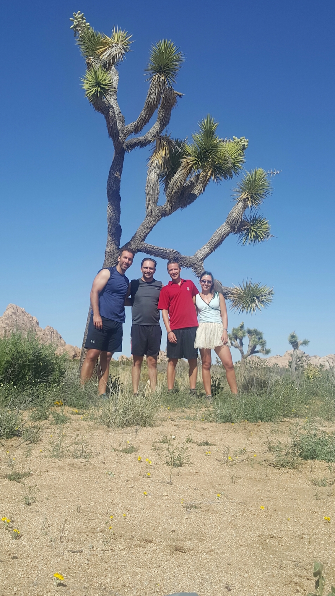


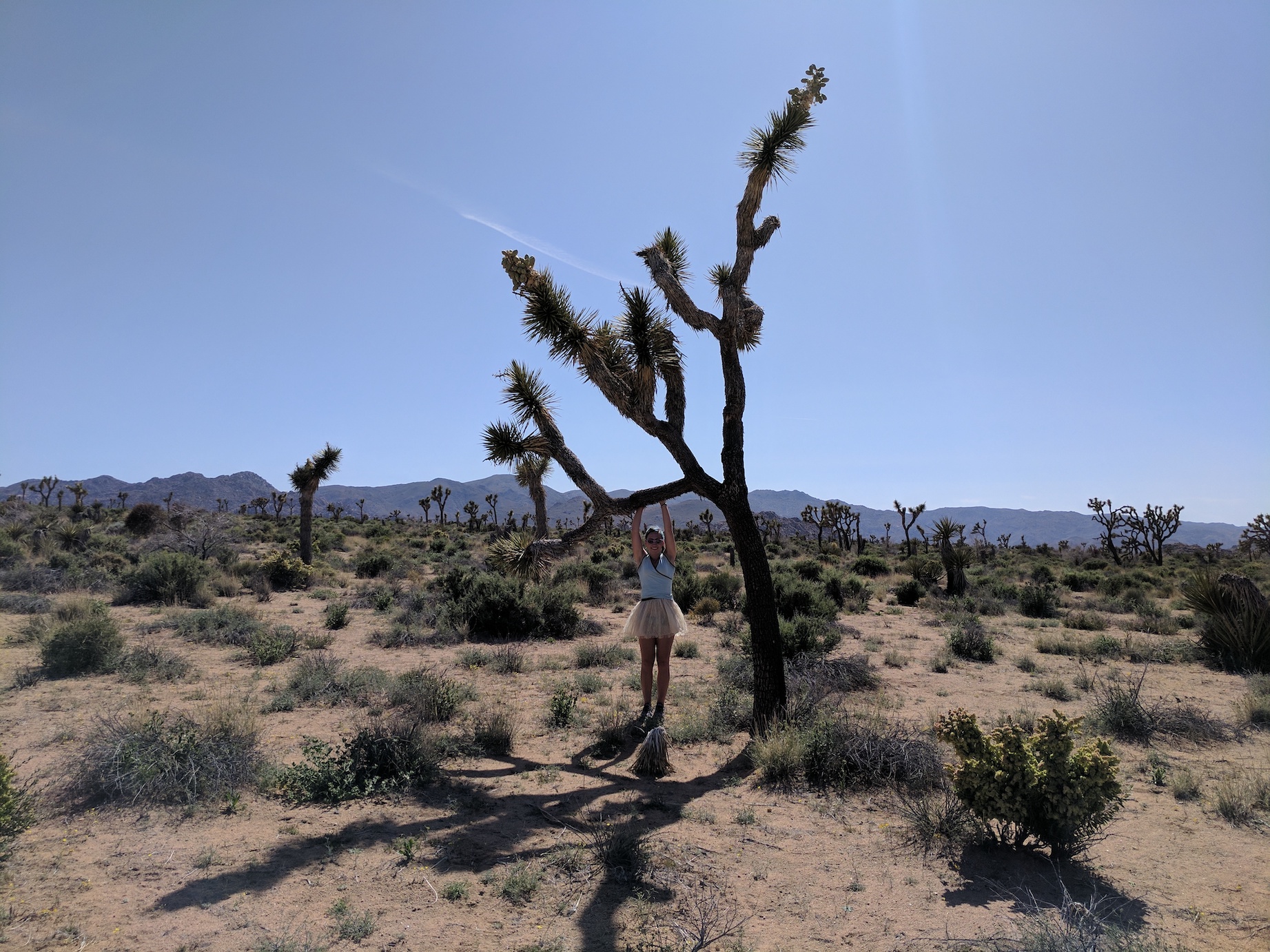
Joshua Tree photoshoot. (As seen on Bumble.)
The desert shadows start to lengthen.
Vanilla pearl on sand.
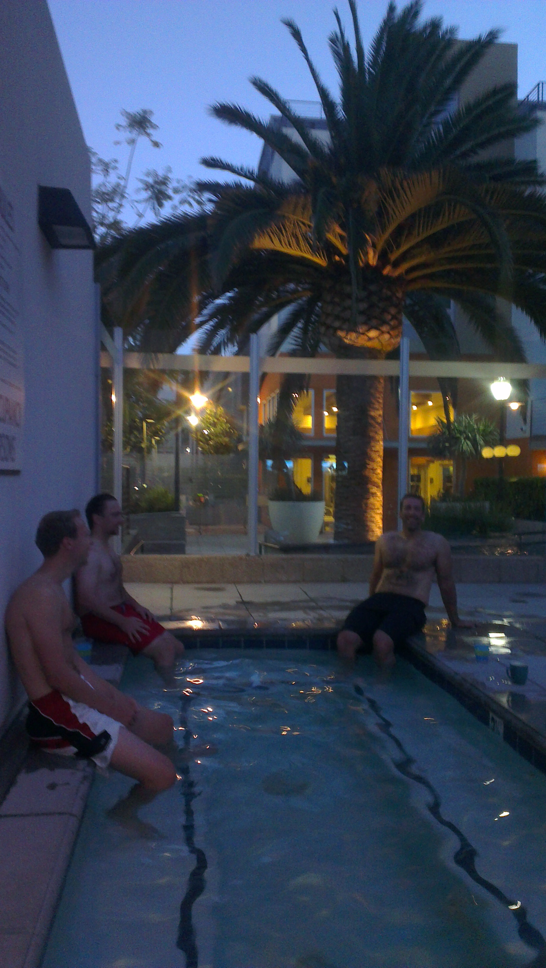
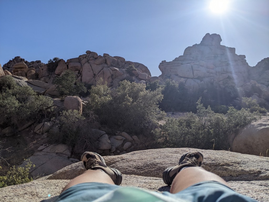
Après-hike.
And here are some pics from the 2022 iteration with Sue. We’d booked a night at the Motel 6 in 29 Palms, and we did this hike straight off the back of the 6-hour drive along the 10 from Tucson.
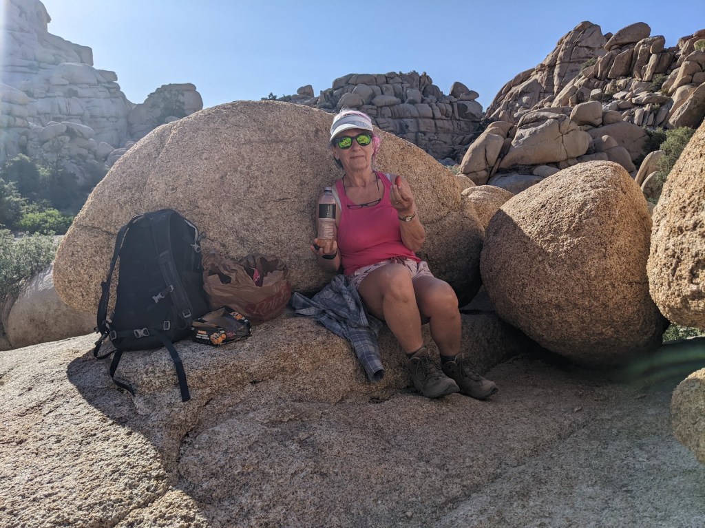
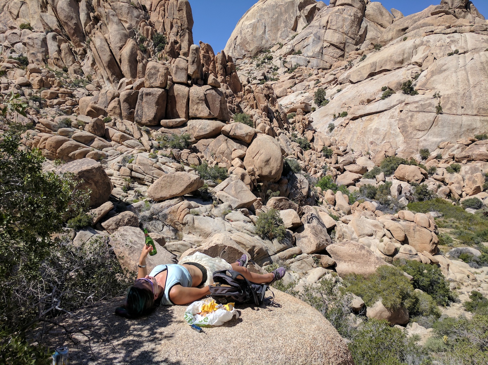
Sue got pretty tired given the drive and the heat and the increasingly slowing sand near the end of the trail. She decided to bow out and have a strategic picnic/nap break what turned out to be only a couple of bends away from the destination.
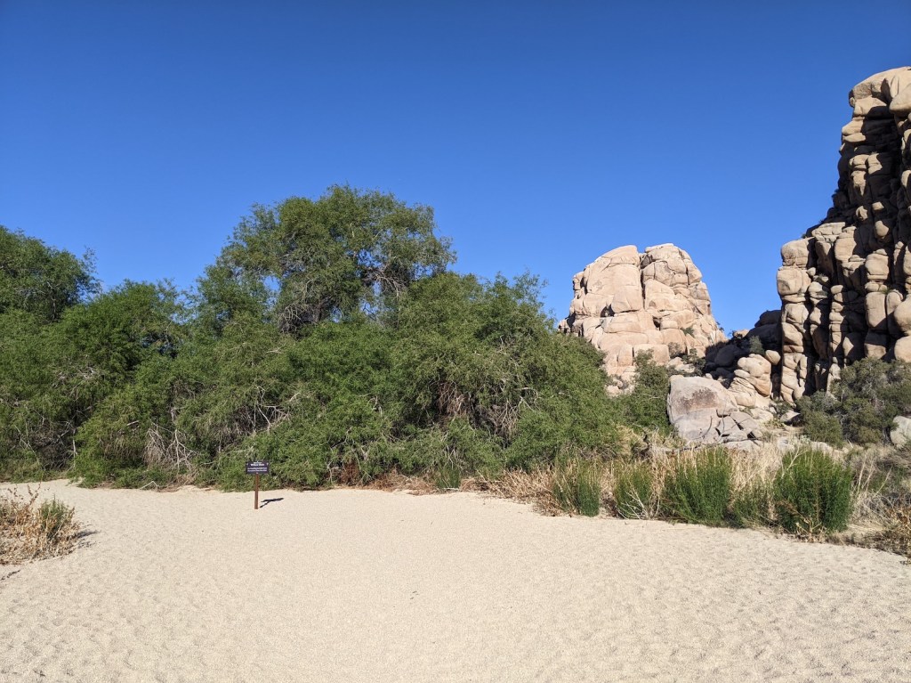
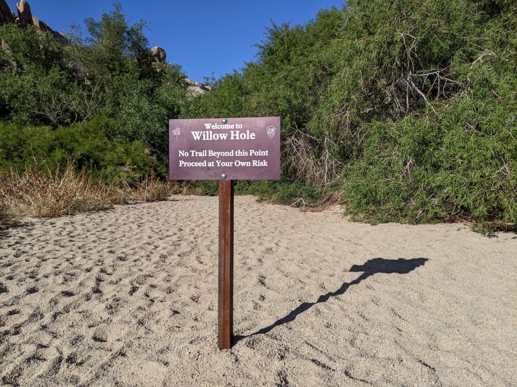
I continued gamely on, and discovered that the willow grove had been enhanced by a smart sign since we were last there.
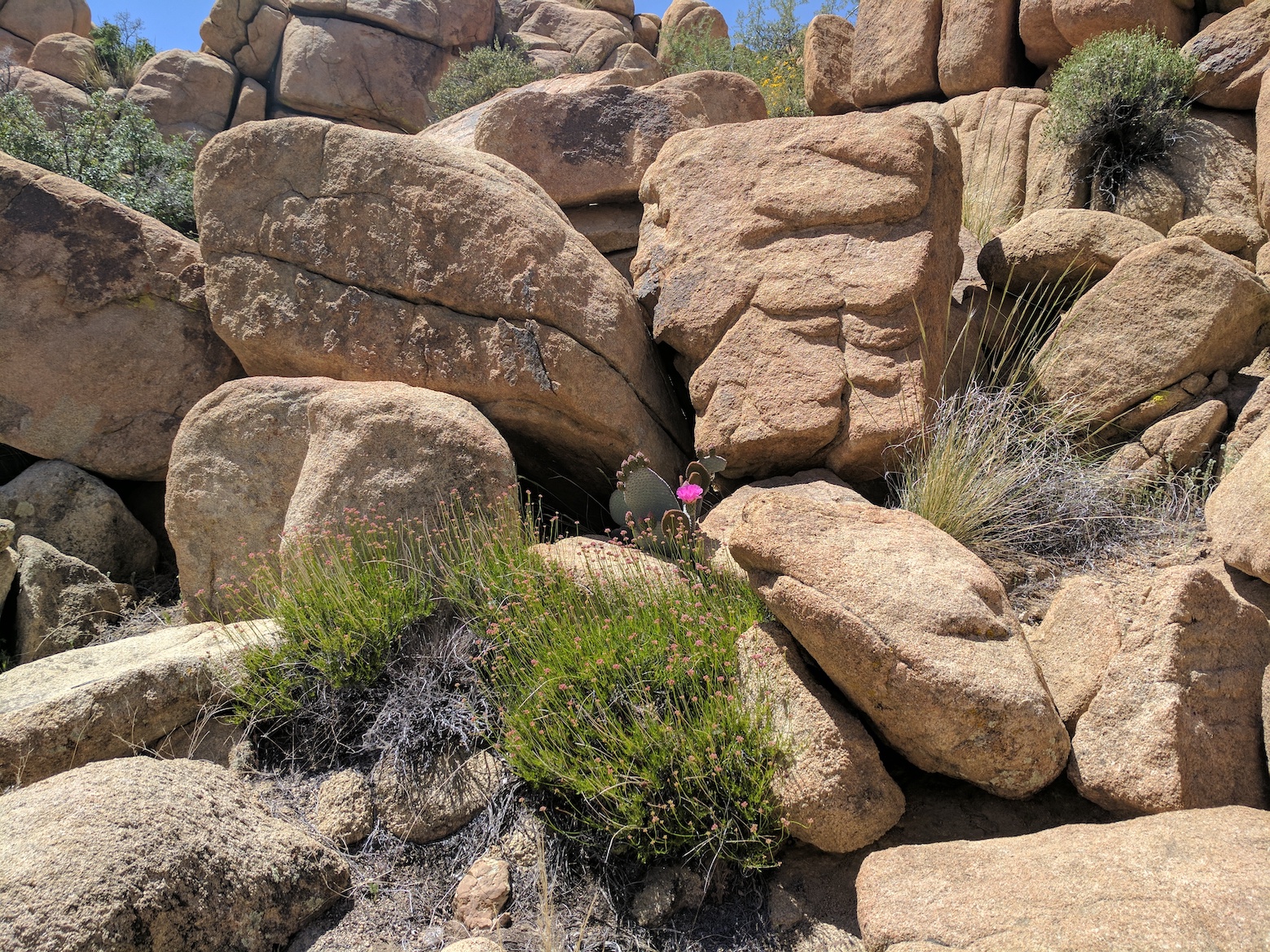
Taking my life into my own hands, I proceeded onwards the few extra metres under the willows and was pleased to find that the Hole is as depressing as ever.
Sue had made the wiser choice, and was much perked up by the time I returned.
I’d been on the lookout for our previous picnic perch and failed to spot it, but this rock did just as nicely for a bit of a JT lie-down.
Then it was time to retrace our steps southwestwards into the sinking sun.
And here’s what we managed to do wrong on the outbound leg. Only a few minutes from the trailhead, there’s a sign for the climbing area to the left, and because we were chatting away and because there’s no competing sign for the main trail, we followed that one. It did lead us to a perfect nook for a late lunch, but it also meant we got confused about the way onwards and ended up having to cut across country a bit to rejoin the trail, which is very unfair on the magnificently intricate “cryptobiotic crust”. So pay attention and keep right!
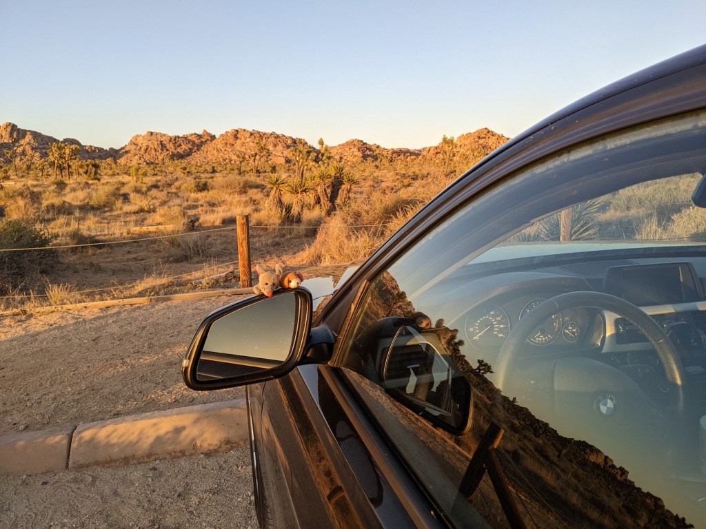
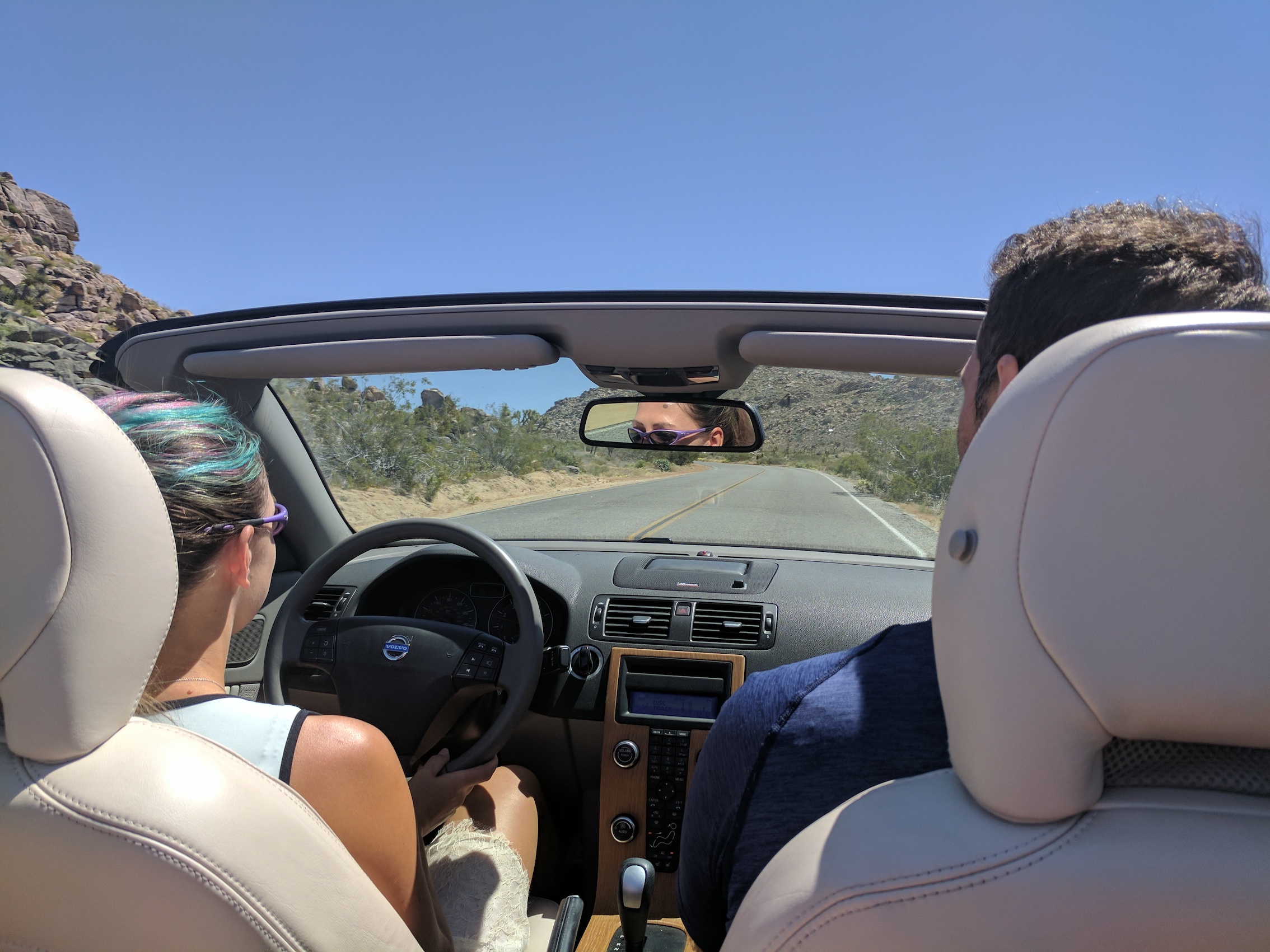
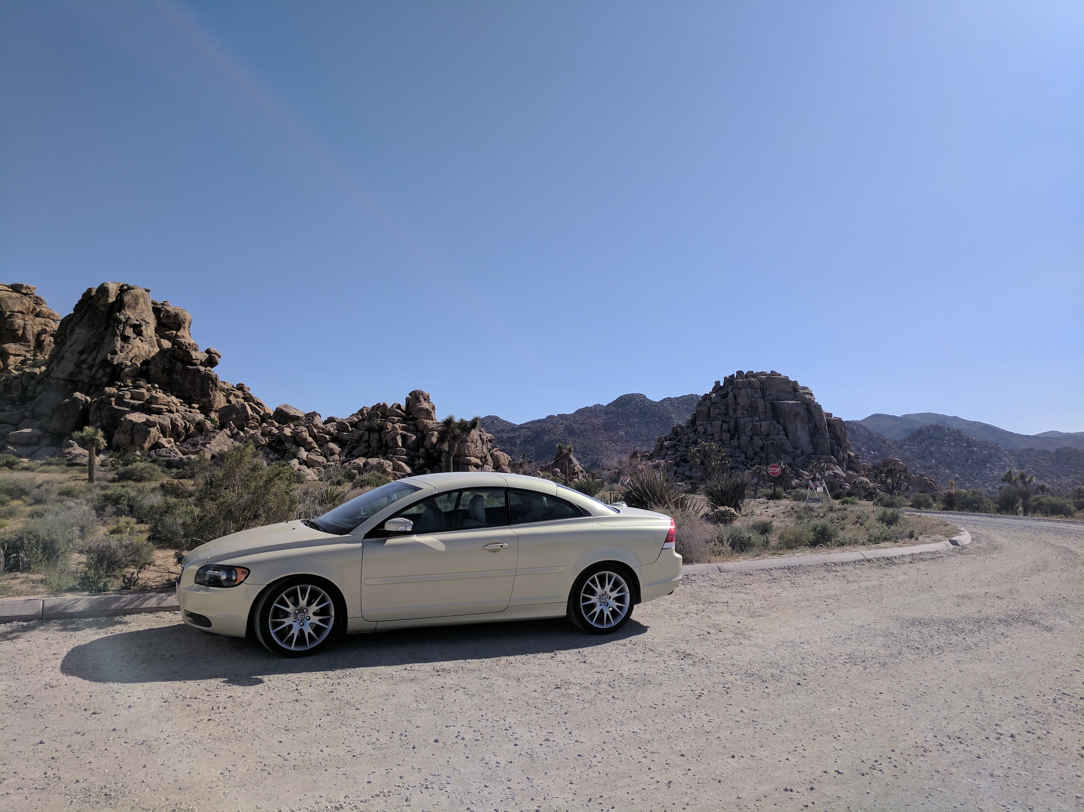
We’d rented a fine BMW on Turo, and an al fresco dinner at Kitchen in the Desert followed by the good old Motel 6 were excellent ways to round off this Joshua Tree visit.

One thought on “Joshua Tree: Willow Hole”