Distance: 6.15 miles (9.9 km)
Time: 2.5 hours
Elevation gain: 1,475 feet (450 metres)
Difficulty: terrain-wise, navigation-wise, and fitness-wise, all easy
Drive: 15 minutes (10.5 miles) from old town Pasadena (along the 210 to La Crescenta Avenue), to 1300 Beaudry Boulevard, Glendale, CA 91208
Hikespeak has a helpful description here
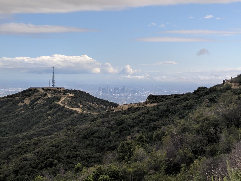
This is a nice easy introduction to the Verdugo range which runs north-west to south-east between the San Gabriels and Burbank. It’s all on wide service/fire roads, and takes in Tongua Peak and Mount Thom, with views over Burbank and across to downtown LA and on a clear day the Pacific.
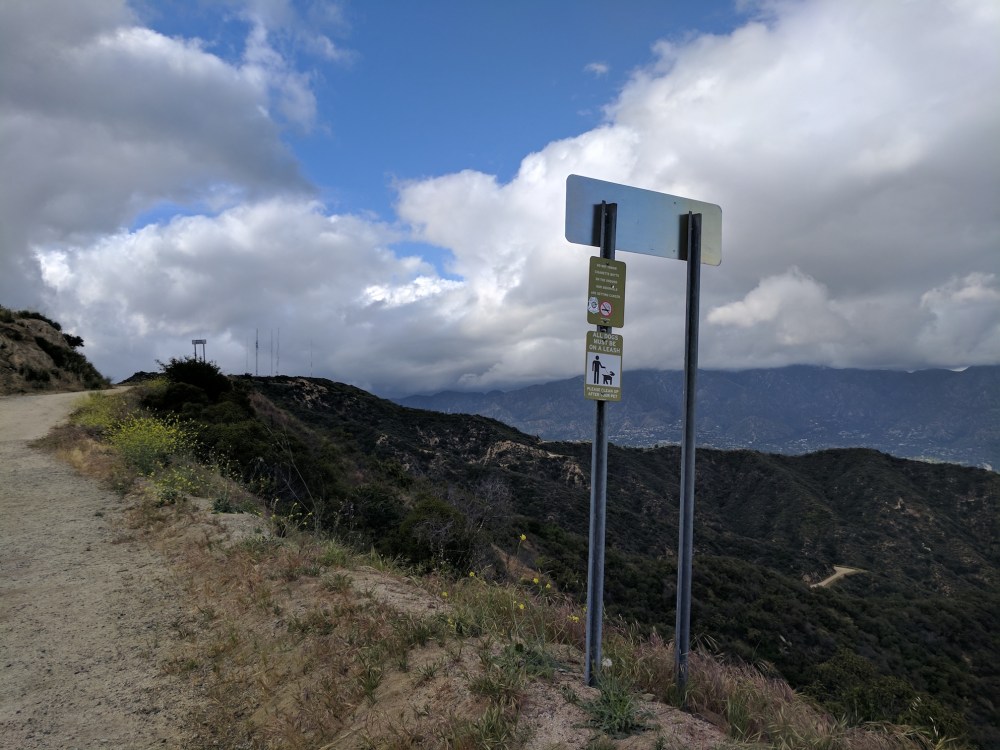
You start through a gate done up with a ridiculous number of padlocks, and at the North/South Beaudry Motorway junction in around half a mile it’s best to take the North arm to the right, for a bit more shade on the ascent and better views on the descent.
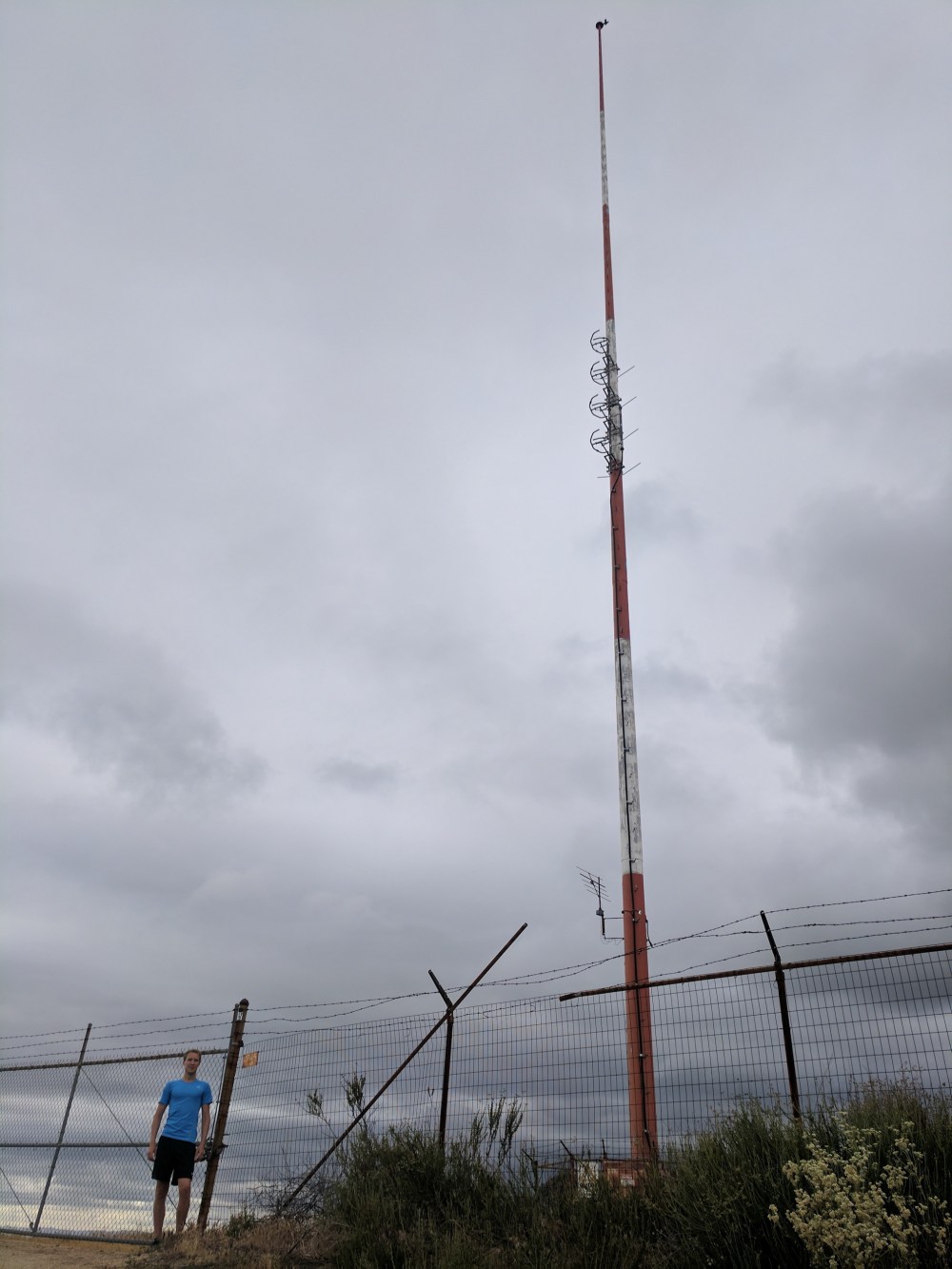
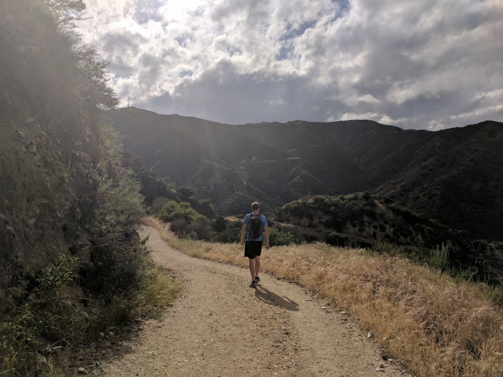
The ‘motorway’ climbs steadily around the eastern slopes of Tongua Peak (the one with the aerials), and 2.75 miles (4.4 km) from the start you get to a junction where carrying on straight takes you another 2.5 miles (4 km) up to Verdugo Peak (3,126 feet / 953 metres), the highest in this baby range, and turning left takes you on to the South Motorway through a saddle and up to Tongua Peak (2,656 feet / 810 metres), with views south-east to Mount Thom.
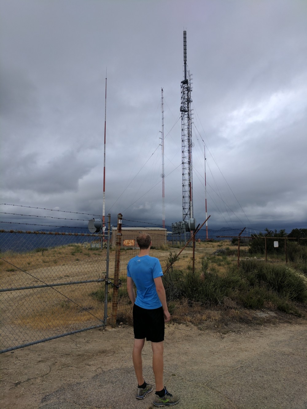
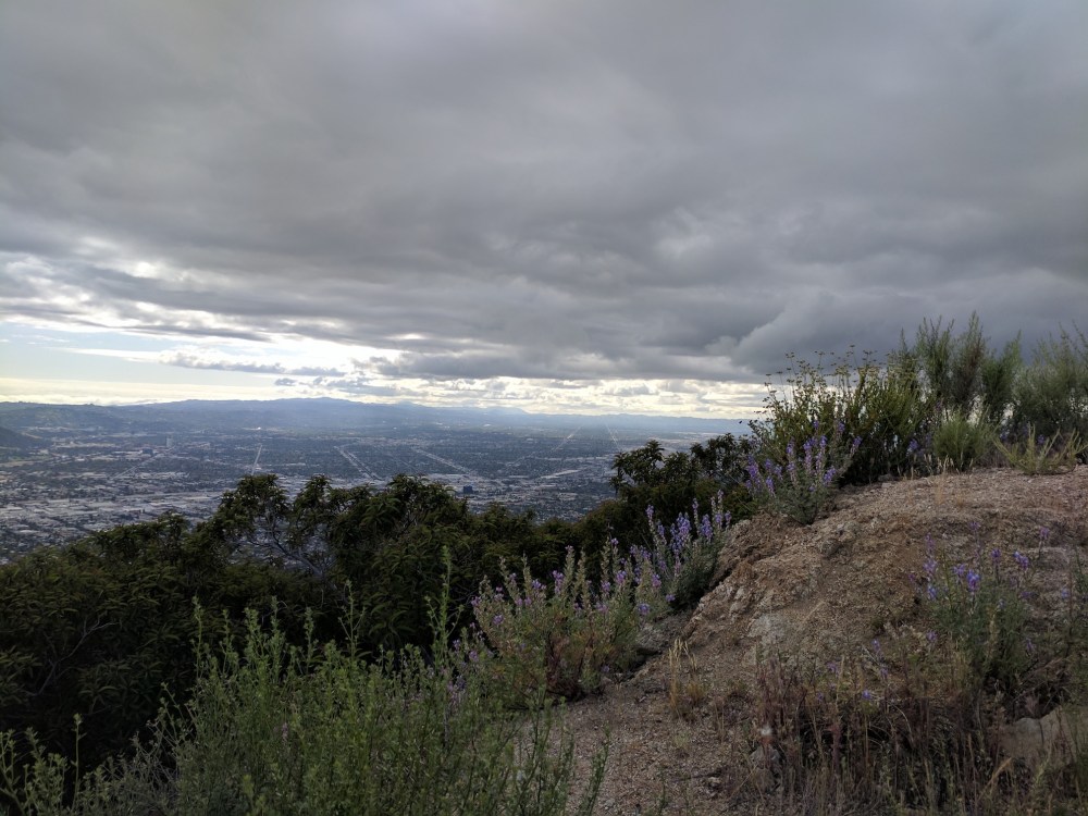
The road is paved for a bit on the approach to the radio masts, which the day we came were the foreground to impressively glowering views of the more grown-up mountains to the north.
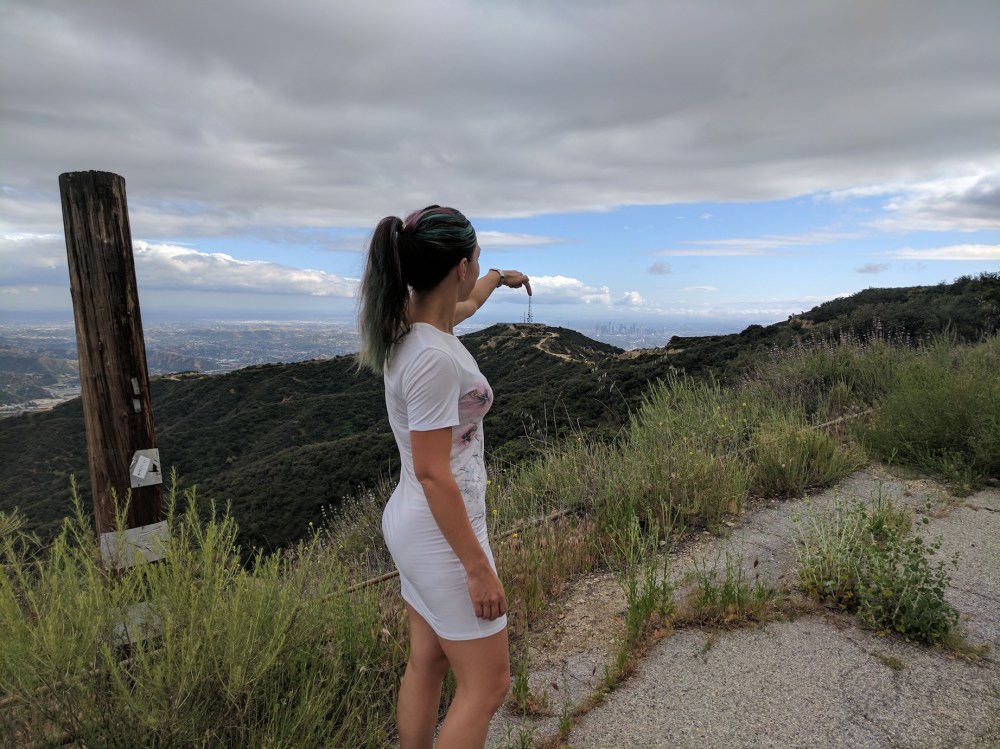
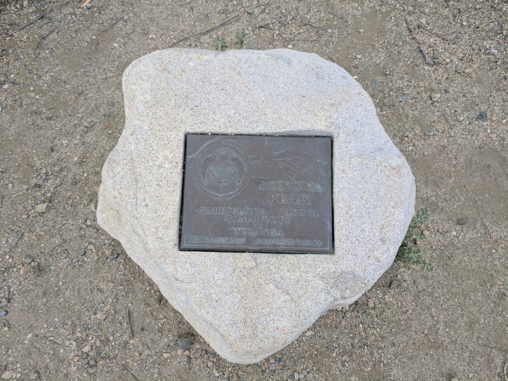
There’s a little path to a lookout place and plaque (maybe the source of hikespeak’s misspelling of the mountain name!) just south of the radio masts, with views north-west up the San Fernando Valley as well as across the whole urban panorama to the south.
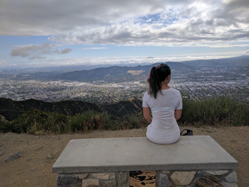
Carrying on along the South Motorway, you come to Mount Thom in 0.6 mile (1 km) or so, and there’s an optional path up the summit (2,460 feet / 750 metres), with another viewpoint over LA on the south side.
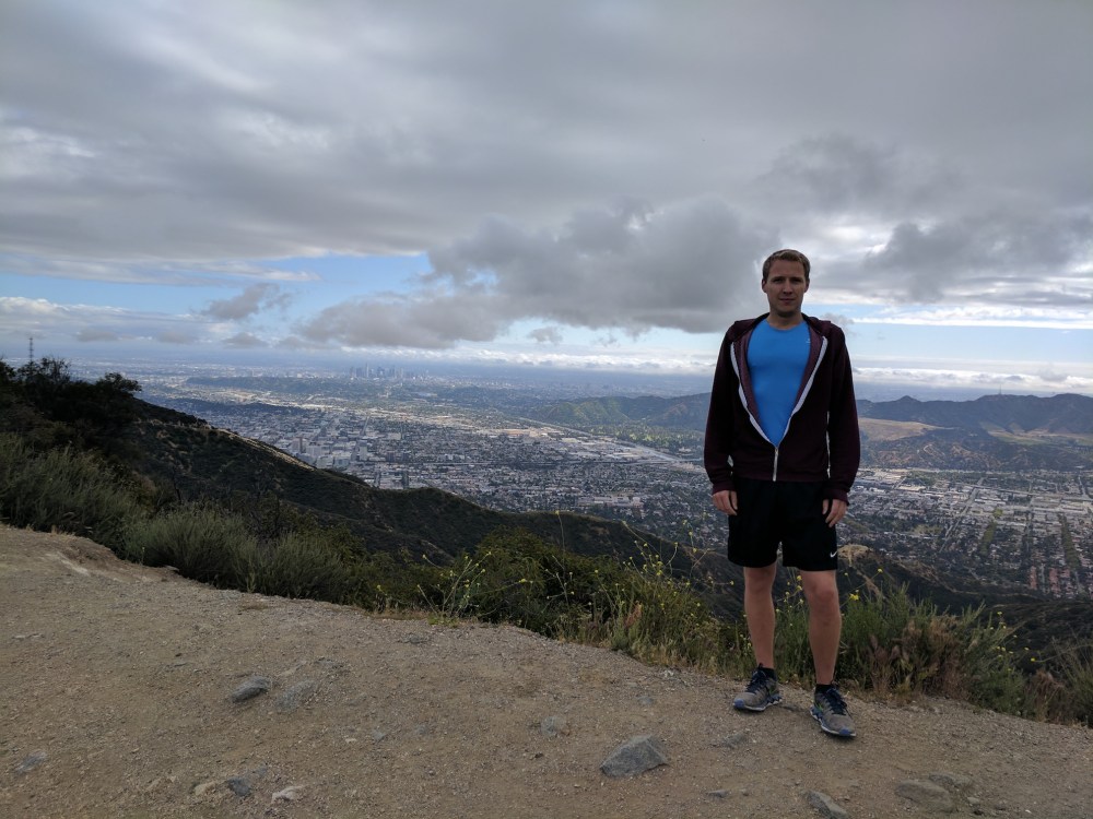
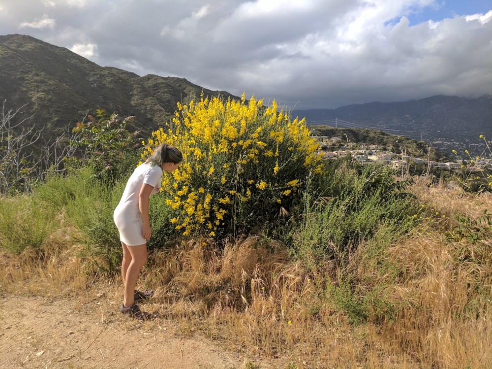
The rest of the descent alternates San Gabriel and city views, until you get back to the junction with the northern arm and the final meander back to the road. For us, this was the time the sun finally started to come out, and some flora appreciation was in order!
If you fancy a slightly longer version, Dan’s Hiking Blog (here) adds an extra 2.5 miles (4 km) by carrying on further along the North arm towards Verdugo Peak and the nicely named (but apparently abandoned) Skyline Motorway.

One thought on “The Verdugos: Beaudry Motorway loop”