Distance: 5.5 miles (8.9 km)
Time: don’t remember, but under 3 hours
Elevation gain: 2,100 feet (640 metres)
Difficulty: terrain-wise, easy; navigation-wise, easy; fitness-wise, easy to moderate
Drive: around 2 hours 15 minutes (140 miles) from Pasadena, via the 210, the 5, the 126, and the 101, or 33 minutes (and 33 miles) along the 101 from Santa Barbara
100 Classic Hikes in Southern California (Allen Riedel, 2008) hike no. 54
hikespeak has a couple of variants here
We were visiting UCSB on a Friday and decided to stay over for a hike the next morning. Hot springs sounded cool, so off we set for the Gaviota Park Boundary Road parking area, right next to the 101 just after it turns inland.
The main trail to the peak is clearly marked from the far corner of the car park, heading east away from the road. After about half a mile (0.8 km) there’s a side path off to the springs, which we decided to save for the way back. Otherwise it’s a steady simple climb to the summit, through meadow and brush,
The views of the sea and the Channel Islands from the top are spectacular. After a delightful breakfast picnic we just retraced our steps, but hikespeak suggests a slightly longer circular route that looks even better.
If you’re tempted to do this walk for the springs, though, don’t. They’re vile. When we visited they were a stinking mess of black mud and small noisy boys. Maybe we caught them on an off day, but I actually couldn’t bring myself to get in, and I pride myself on my iron constitution. James did, and claimed to quite enjoy it. (I don’t believe him.)
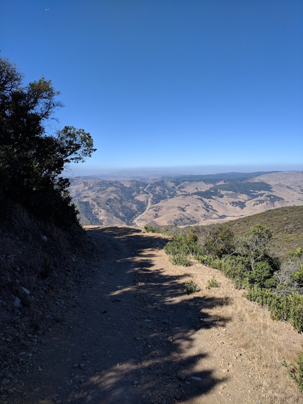
Inland views to the north.
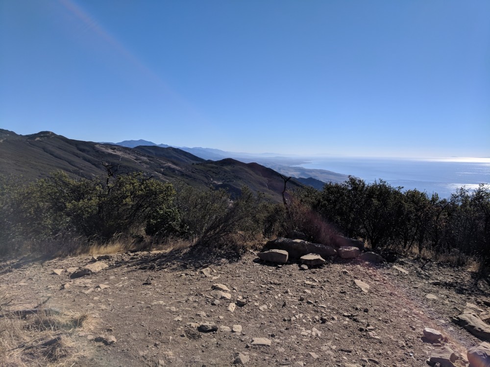
Coastal views to the east.
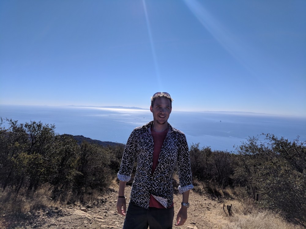
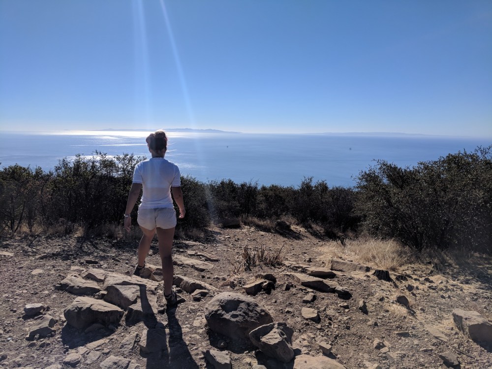
Enjoying the summit.
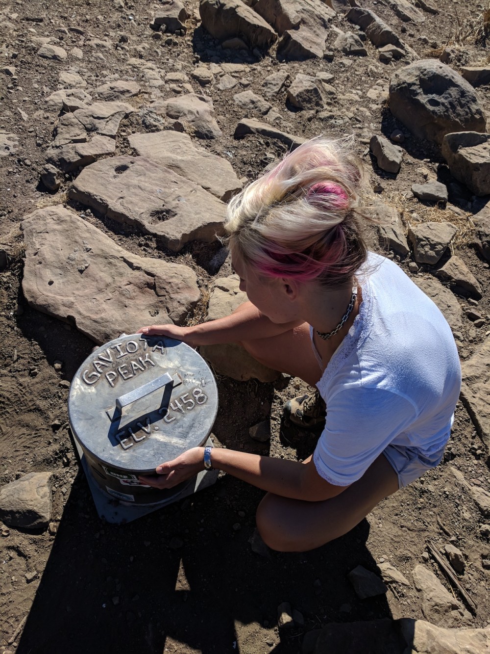
Enjoying the proof of the summit.
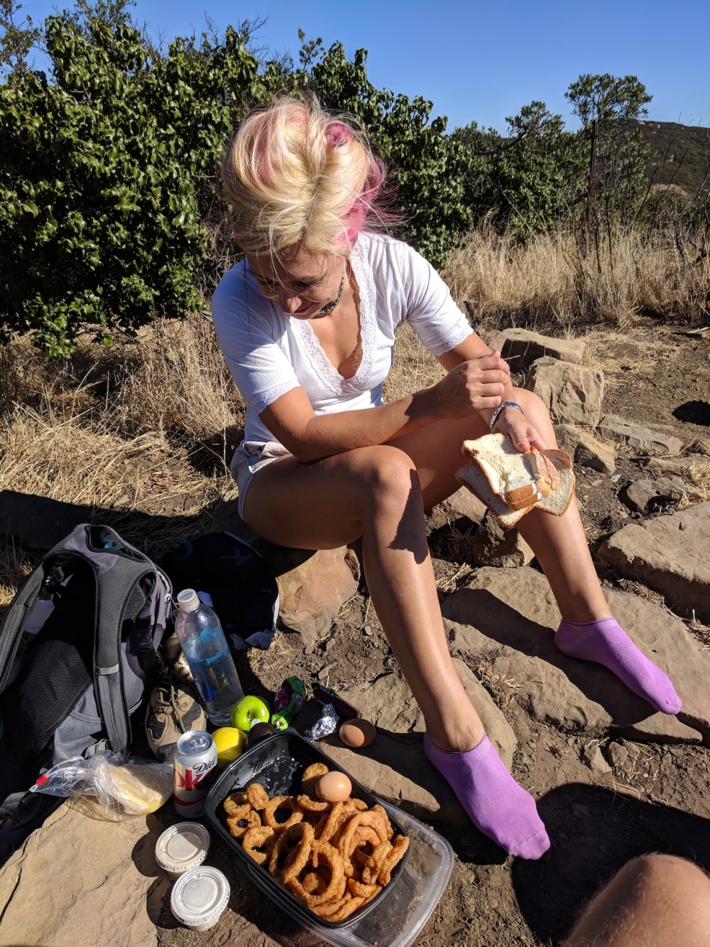
Enjoying the slap-up breakfast.
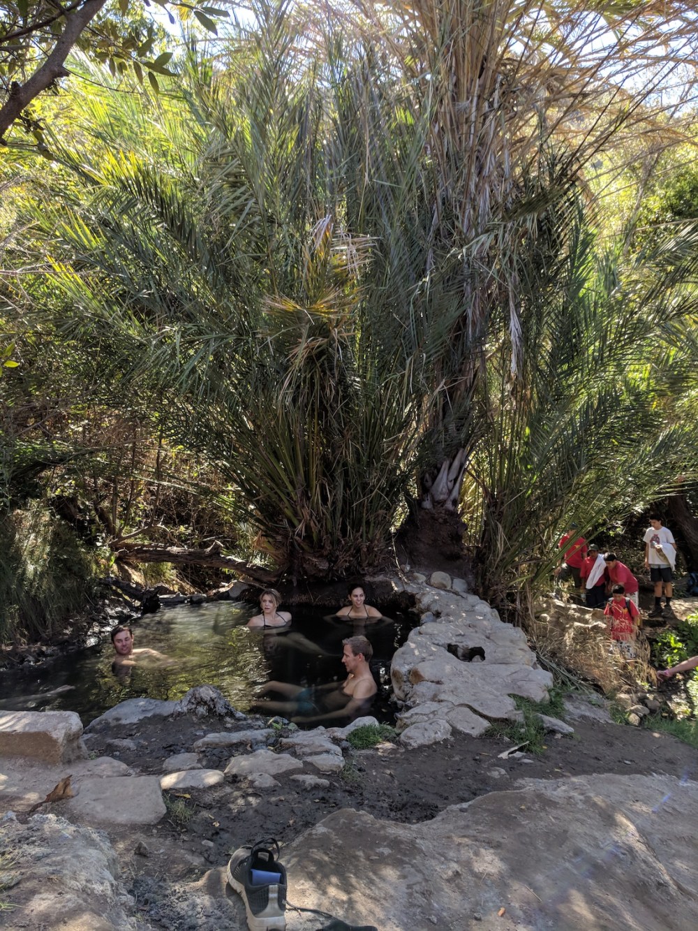
And supposedly enjoying the hot springs, with boy scouts encroaching.
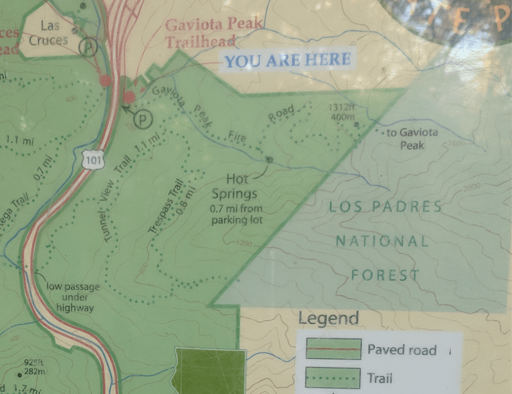
A zoomed-in section of the car park map. The hikespeak route linked to at the top shows a way to connect up the peak with the Trespass Trail by heading southwest instead of west from the top. I guess this map is a bit out-of-date!
