Distance: 5 miles (8.1 km)
Time: 2 hours
Elevation gain: 1,200 feet (366 metres)
Difficulty: terrain-wise, easy; navigation-wise, easy; fitness-wise, easy
Drive: 15 minutes (6.5 miles) from central Pasadena, heading north on Lincoln
Nobody Hikes in LA has a very good description here
This was a last-minute Sunday afternoon addition to our weekend, and it did the job: got us out to some sunny slopes and pretty views very close to home. Google Maps also has all the trails marked, so you can see very easily where you are.
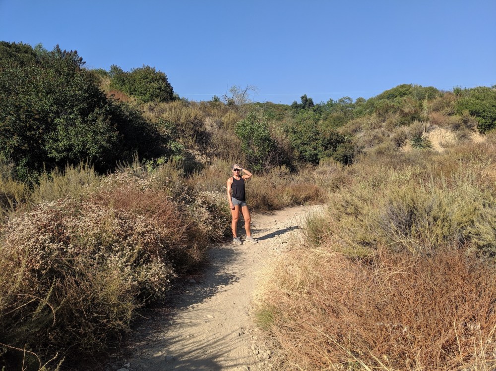
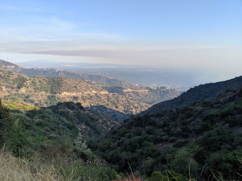
The entrance to the trail from El Prieto Road is through a gate that says don’t enter. Head down a path Google has marked as The Meadows, leading down to El Prieto Canyon trail, where you turn left. The path descends not very scenically through oak and alder, and half a mile from the start, you get to the junction with the Fern Truck trail (Google has the first few bends of it still marked as N Arroyo Blvd). Turn right here, and immediately you start climbing and leaving the trees behind, and have views over the city and the Verdugos – for us partially obscured by a fire in the Hollywood hills, but lovely despite the taste of smoke in the air.
Another 2.5 miles (4 km) in, the centre of the loop is a quite satisfyingly obvious watershed: you get to a clutch of pines, a bench, a signpost, and the highpoint of the route at a T junction where the left (northbound) arm would take you up to the Ken Burton trail and the Millard and Oakwilde campgrounds. Head straight on to start a gradual descent. (We found a little hollow below the path a few minutes further on to stop and have our thermos of tea, because the bench was in shade and had a man playing tinny music next to it.) I think from the watershed junction this now counts as the Brown Mountain Truck trail (though Google still has it marked as Fern).
About 4 miles (6.4 km) from the start, you get to a junction back onto El Prieto Canyon trail, which is what the description linked to above recommends. It leads downhill for another mile and comes out at the junction with ‘The Meadows’ where you started out. We fancied staying on the wide-open truck trail a bit longer, though, rather than dipping back into the canyon, so we kept following the track round, turning right at the T-junction at the end of the track to come out at the Brown Mountain Fire Road command post (1.4 miles / 2.3 km from the high point, and 0.7 miles / 1.1 km from the end). Turning left here and continuing east for another mile would take you across to Millard campground (confusingly labelled the other way on the watershed sign), near Millard falls and the Sunset Ridge trailhead (for a lovely 14.6-mile/23.5km hike ending there, see here). From the fire command post, take the shortcut trail off to the right to link up with the top of El Prieto Road: a short wander back down the street to the car.
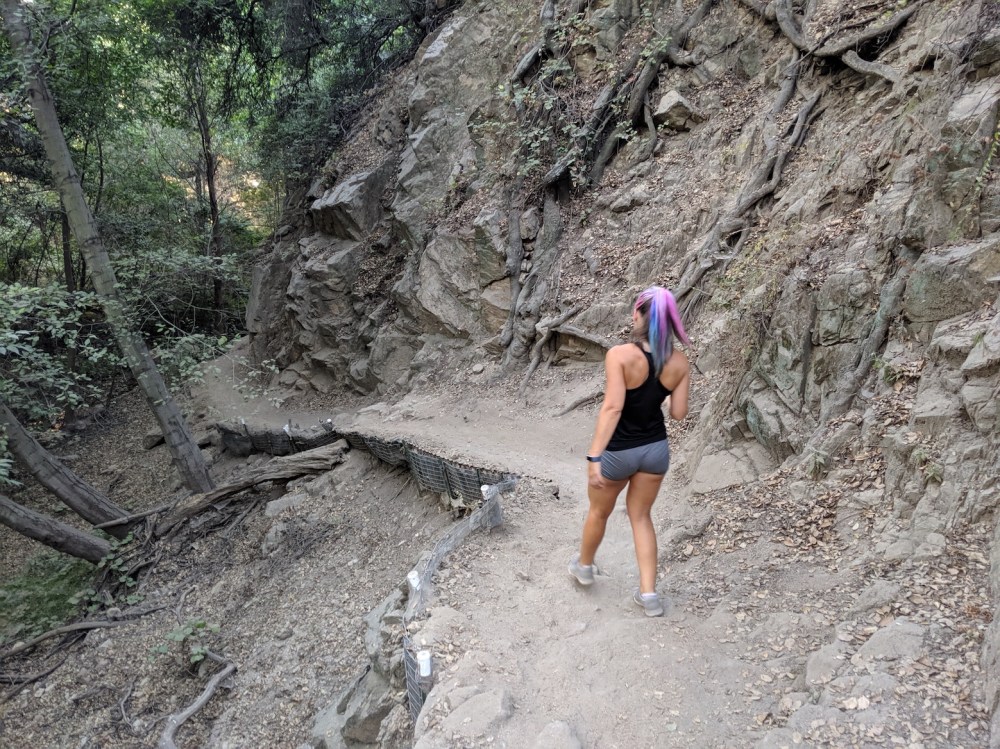
Adding a touch of colour to the gloomy El Prieto Canyon trail.
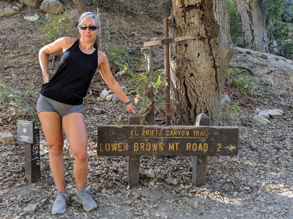
The junction with the Fern Truck trail.
Gaining height in the afternoon sun.
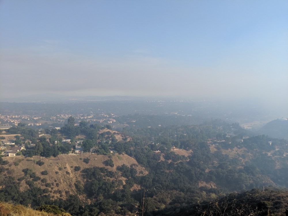
Smoke over Altadena.
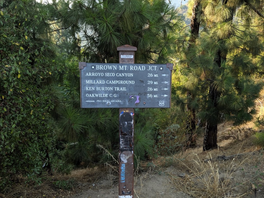
Sign for mountainbikers at the watershed junction. (Is the Millard campground arrow the wrong way round?)
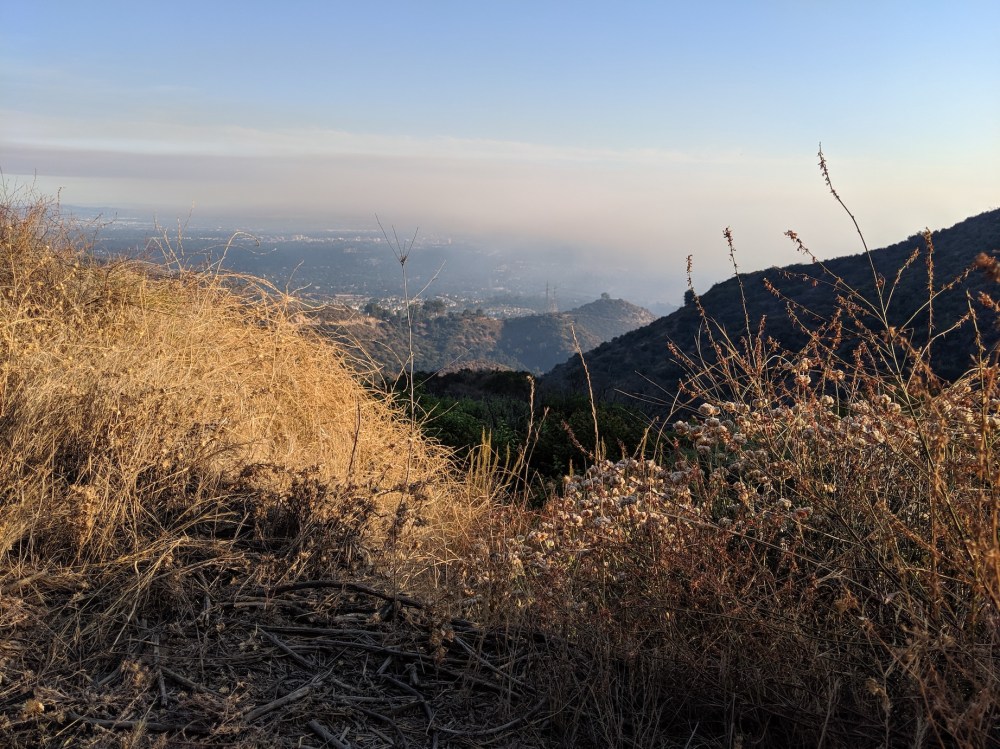
The view from the watershed.
Afternoon tea spot.
