Distance: approx. 9.7 miles (15.6 km)
Time: 5 hours (including a few short eating/drinking stops)
Elevation gain: approx. [according to Google Maps] 2,569 feet (783 metres)
Difficulty: terrain-wise and navigation-wise, moderate; fitness-wise, moderate to hard
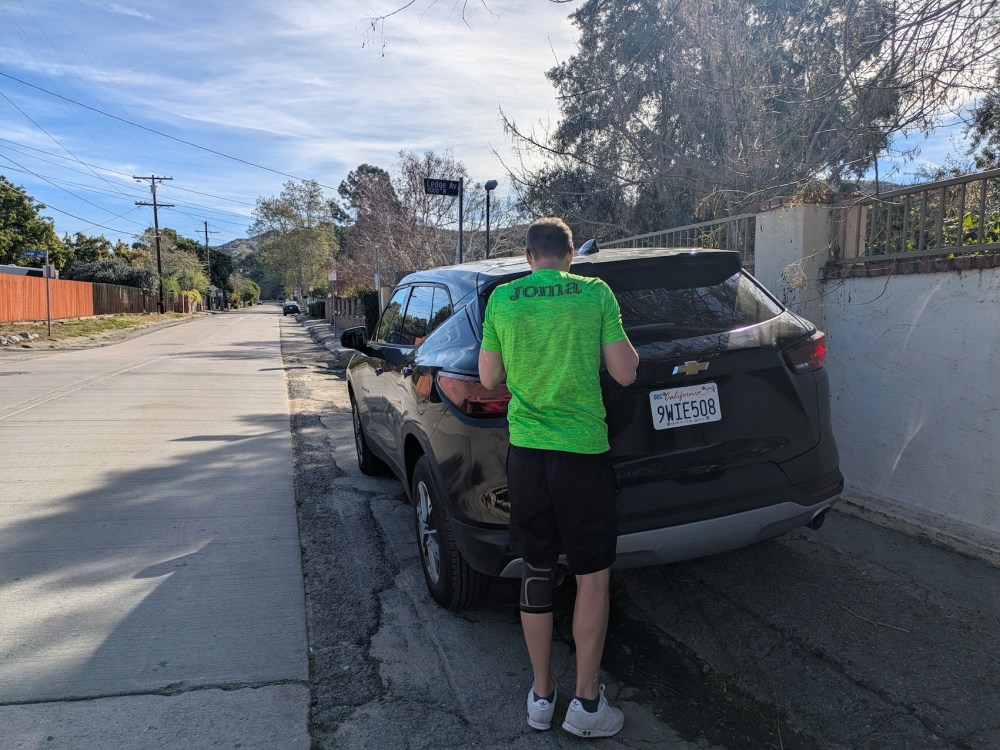
Drive: 20 minutes (16 miles) from old town Pasadena: up the 210 to exit 14 for La Tuna Canyon Rd, then about 4.4 miles west along that road to Ledge Road. We parked on the south side of Penrose St, just west of the intersection with Ledge St—and just out of the school tow zone! The Mt La Tuna trail, which confusingly also gets referred to as the Village Avenue trail—and which should by no means be confused with the La Tuna Canyon trail or indeed the La Tuna foot trail—starts just behind the school.
Rattlers spotted: none
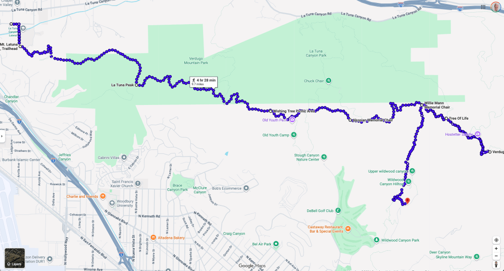
We had a winter week in Santa Barbara and LA for my birthday this year, and we’d done a pretty breakfast hike up the Whiting Woods trail to Verdugo Peak a few days earlier, as well as a splendidly snowy birthday trek up trusty Josephine on our first full day. We wanted to end the trip with another substantial hike, and keeping the driving minimal seemed like a good idea. With the beauty of James’s birthday 2024 route in mind, it occurred to me that an itinerary taking in more of the backbone of the Verdugo range would be a good way to fill us up on atmospheric city and mountain views before leaving. It would also be our first time trying a one-way hike, relying on Uber to get us back to the car; given their city setting, the Verdugos are good for knowing that the trailhead will have signal!
In our illustrious tradition of trying to cram in far too much on the day we leave LA, this time we attempted to walk most of the range west to east before driving to LAX. In another well-heeled habit, we by no means started at dawn. And in a third, we focused more on the food than on the water in our rucksack-packing.
Despite all that, we managed to both have a glorious hike and make it successfully onto our 21:45/22:30 flights respectively. But this was definitely a cautionary tale in the ease of underestimating the Verdugos. The fact that they’re encircled by urban sprawl and dwarfed by the San Gabriels does not make them trivial.
Here’s what we got right and wrong so you can do even better!
It was 9:20 by the time we found a parking space on the street near the trailhead—not bad for us!
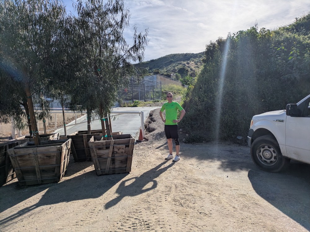
Five minutes right past the creepy Christian school (frighteningly glitzy facilities; sports team name: the Crusaders), you circle round the back of their playing fields.
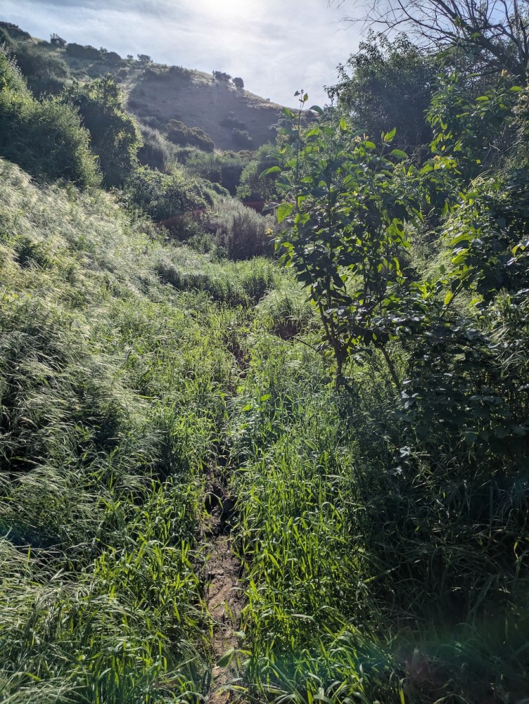
Then a few minutes more and the trail suddenly feels like it leads somewhere wild.
You gain height quickly and can turn back for instant views.
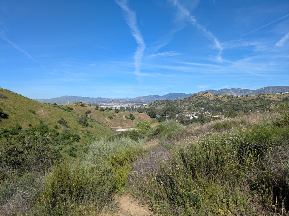
After a brief descent, the path snakes gently upwards along the hillside towards a subtle Christian decoration.
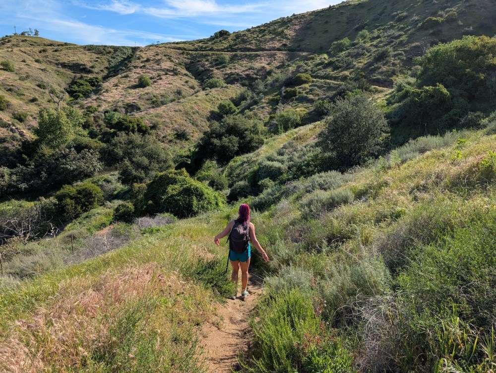
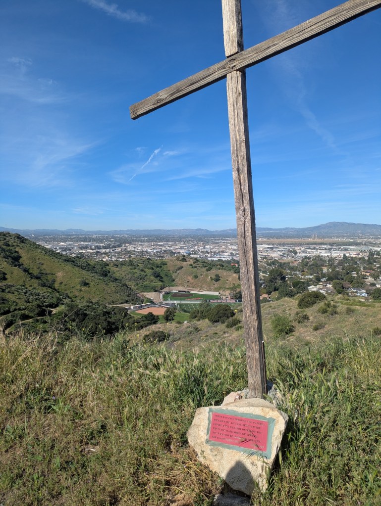
(It’s Isaiah 43:2 at the bottom. Could’ve been worse!)
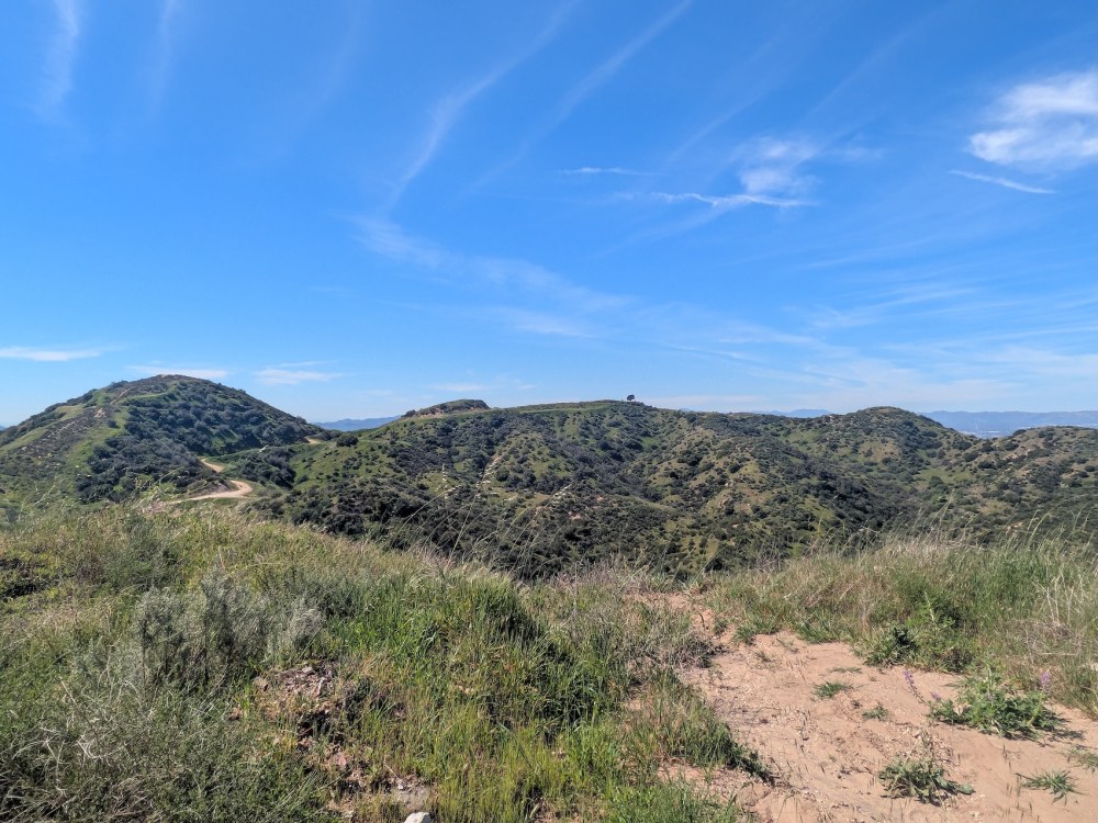
Things get rapidly prettier from here, with some lovely open ridge walking…
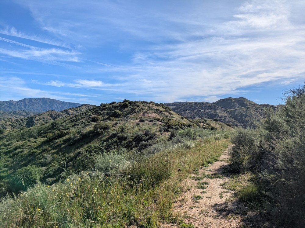
… and some remarkable February flowers…
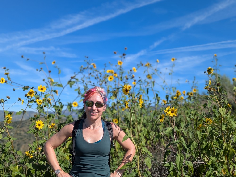
… and a nice mini-picnic place, 40 minutes from the start.
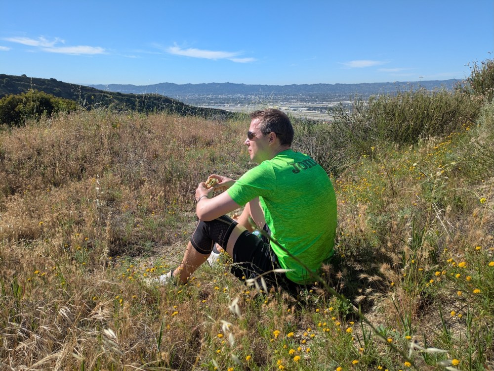
After our first breakfast, cupped in grasses with little yellow flowers breaking through the fine gravel, we proceeded on up the Mt La Tuna / Village Avenue trail to its junction with the Chandler fire road, a spot informally known as La Tuna peak.
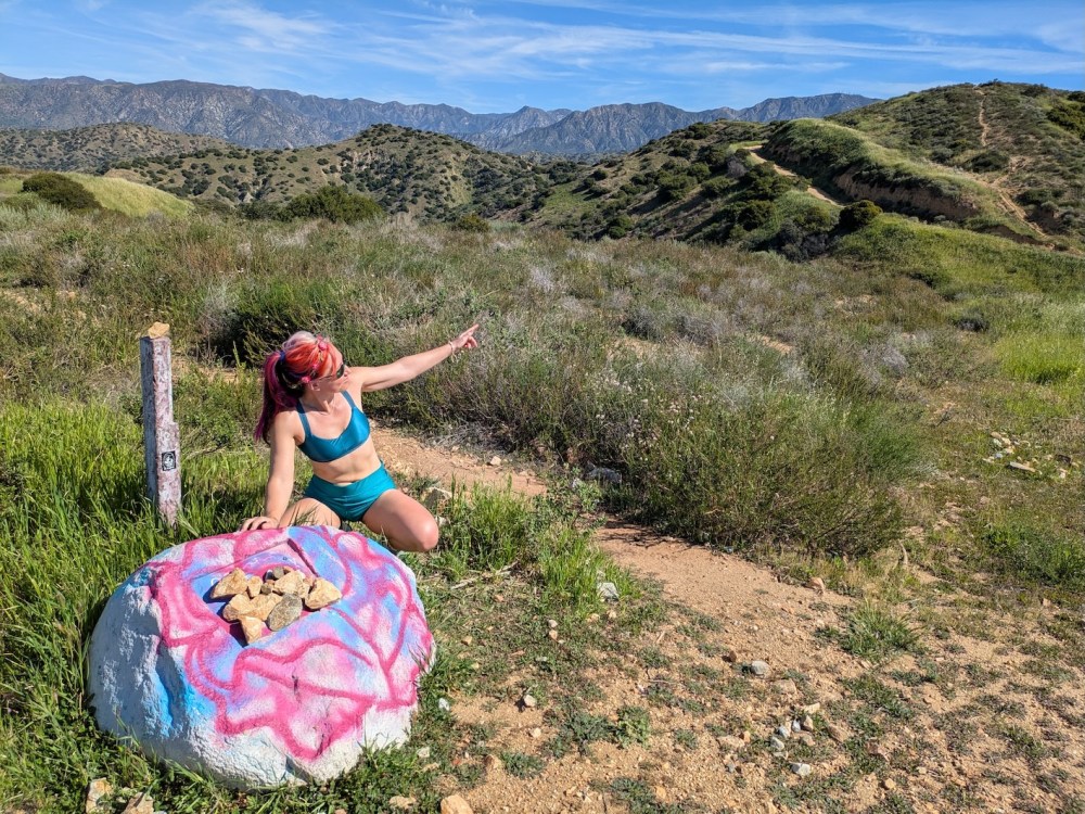
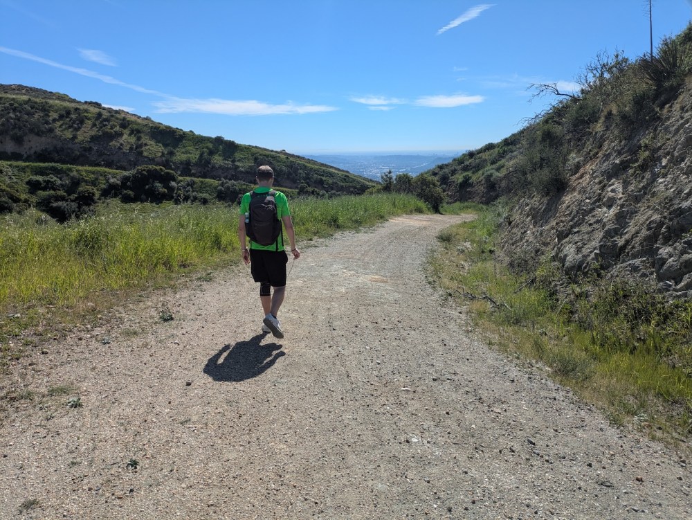
(My sun-starved winter skin was loving the rays by this point.) This was about an hour and 2.3 miles from the start, and it marked the beginning of what I think of as classic Verdugos walking: following fire roads cut into hillsides along wide meandering curves. Here’s James making the walking look jolly athletic!
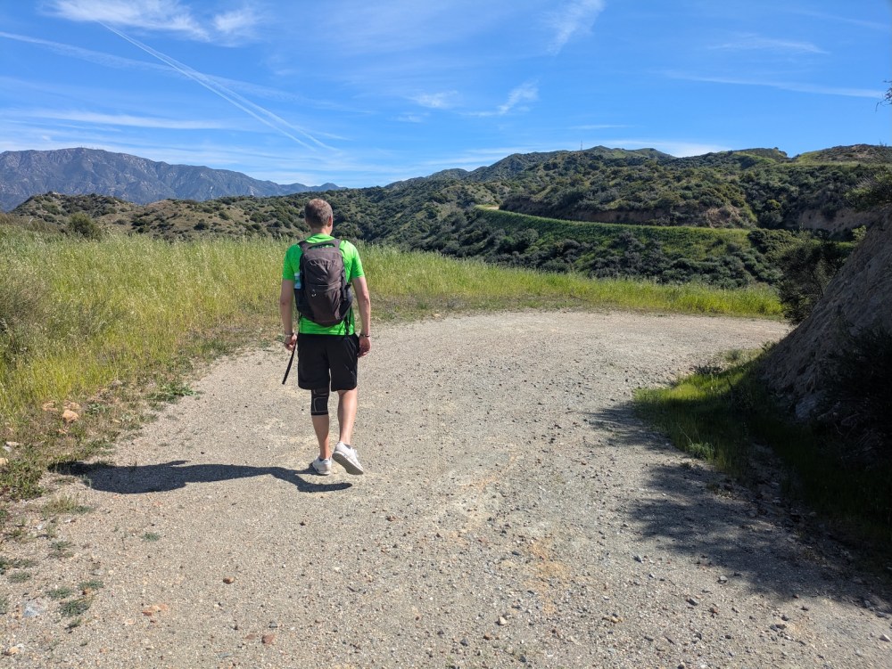
To be fair to him, it was probably around here that I realized that I’d misjudged quite how consistent the gradient would be after the initial ascent up the La Tuna trail. There were then some lovely green flowery undulations on the path before hitting the classic fire roads, but then I suppose the heat increased and it felt like things should be levelling off but weren’t!
Still, here’s a nice example of how the views open up in the saddles where slopes meet, and do give you the occasional down stretch.
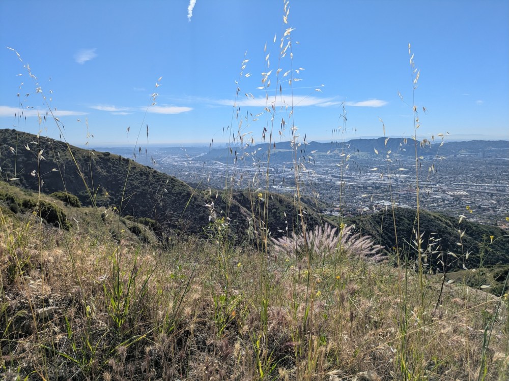
And here’s downtown looking coy behind the wild grasses.
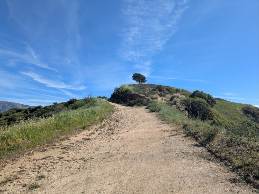
And then, about 45 minutes from the trail junction, the delightfully named Wishing Tree comes into view.
Now 4.2 miles and just over 2 hours from the car, the tree’s shade was perfect for our second breakfast: eating prawn and mozzarella rolls and eking out our inadequate liquids!
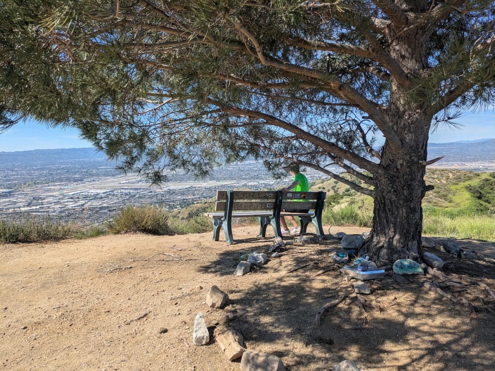
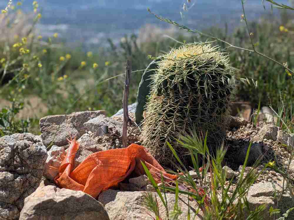
The tree was named for the way it inspired visitors to leave notes of secret wishes around its base, and the whole little plateau is scattered with treasures worth exploring.
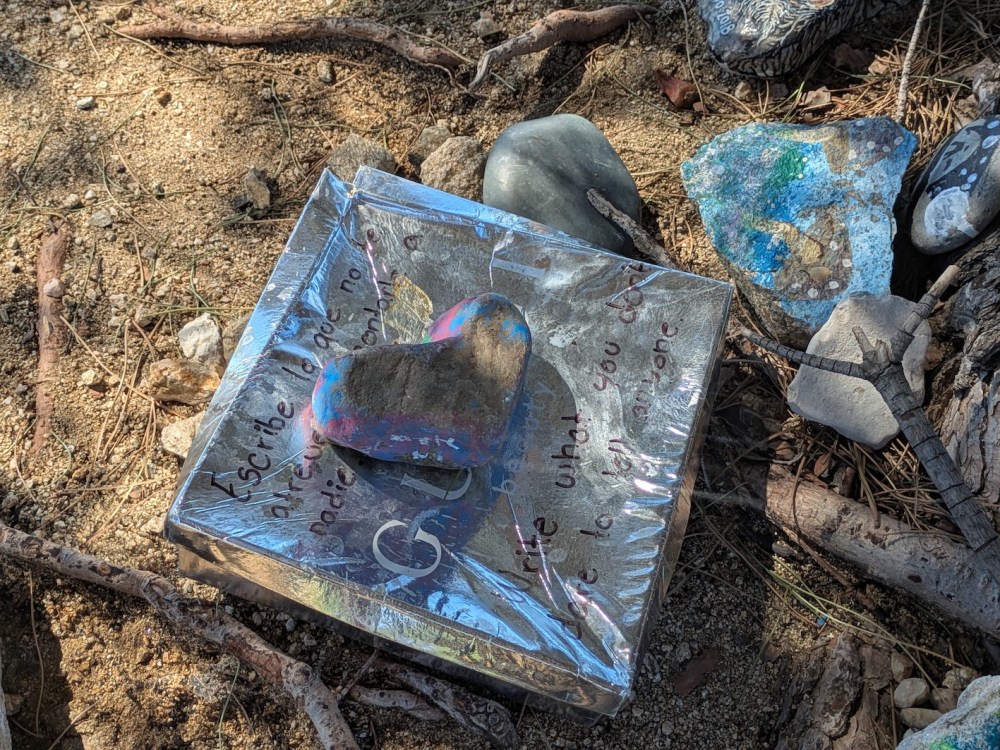
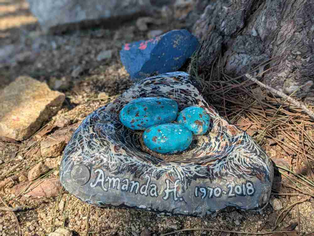
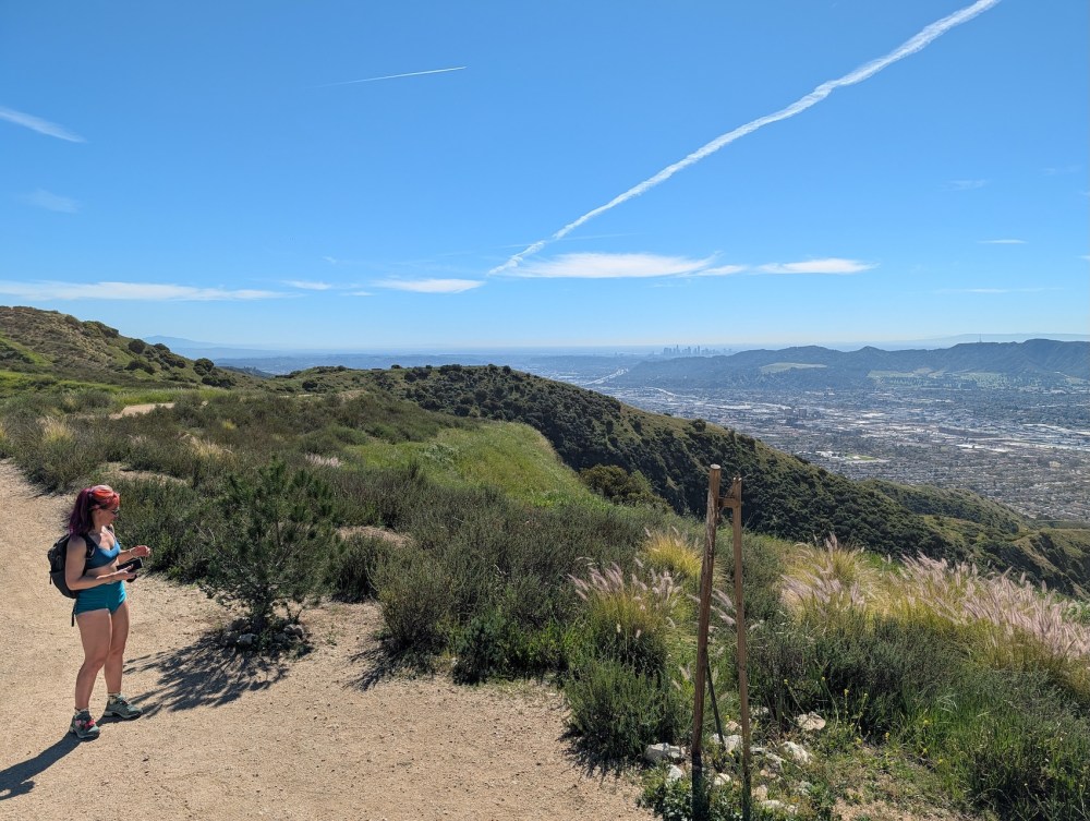
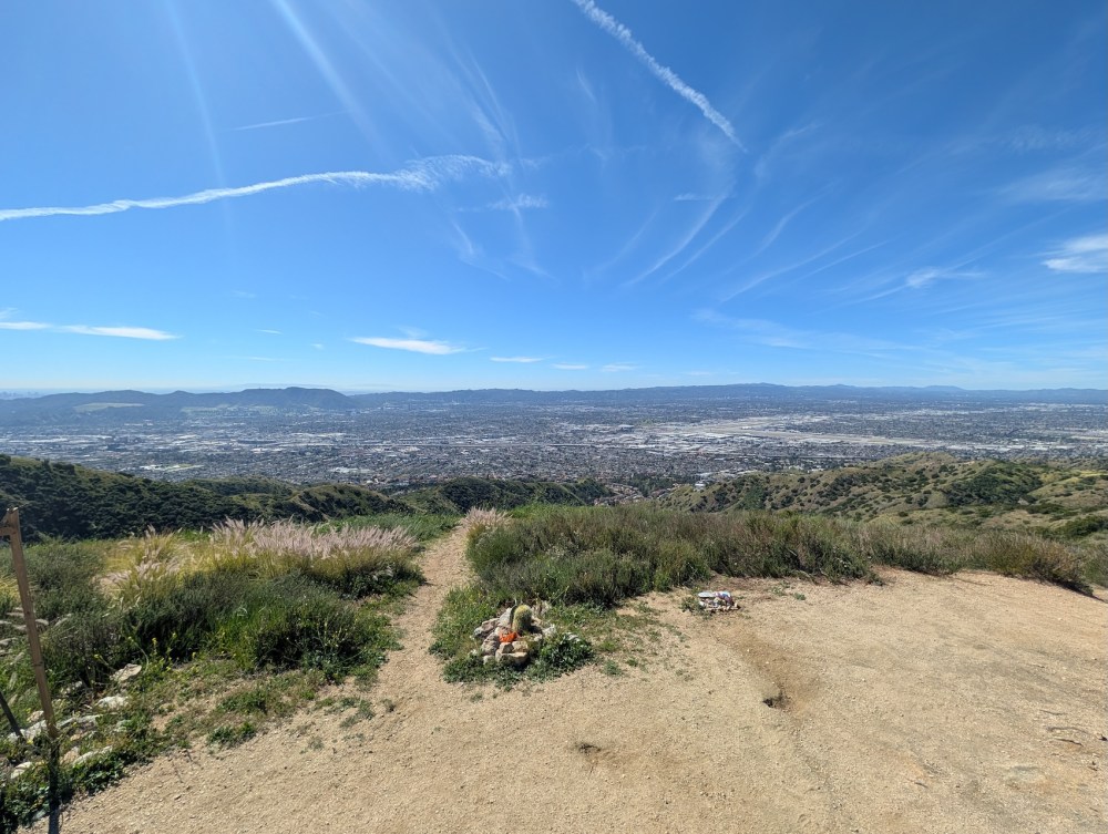
There are great 360° views too, including over Burbank airport to the southwest…
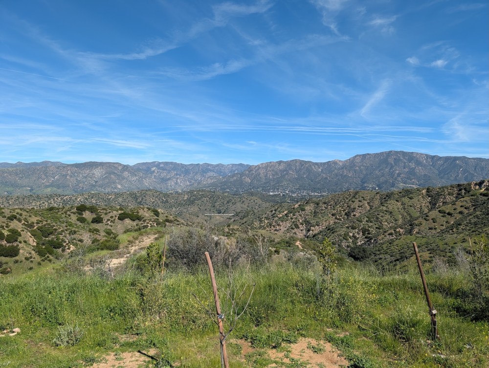
… and over the San Gabriel foothills to the north.
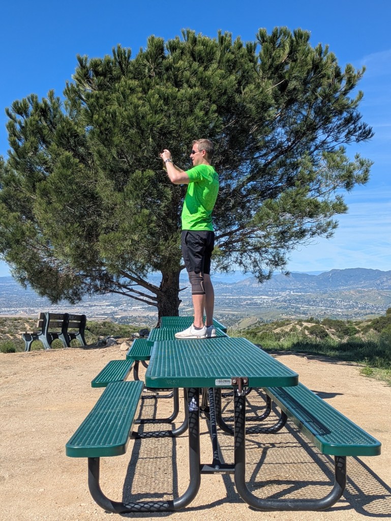
In all directions distinctly photo-worthy!
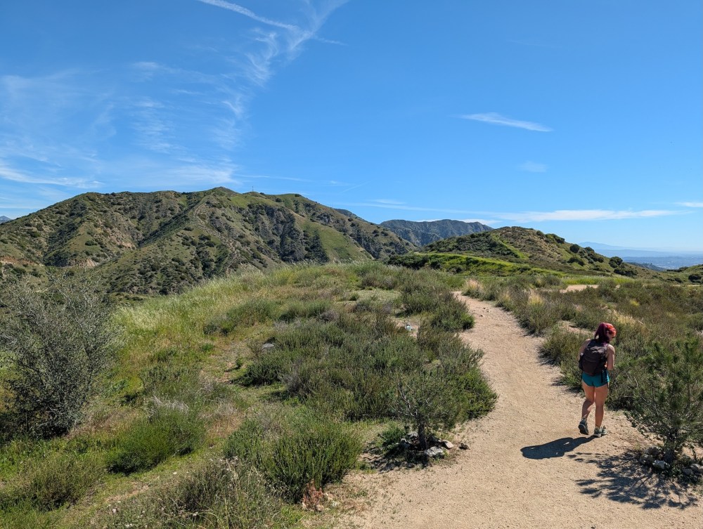
The easterly route onwards also looks invitingly green.
And 15 minutes later, the tree is already a speck on the western horizon.
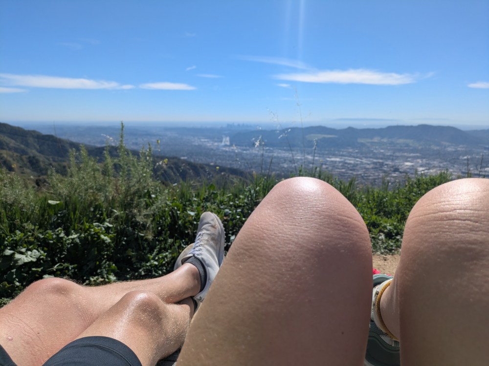
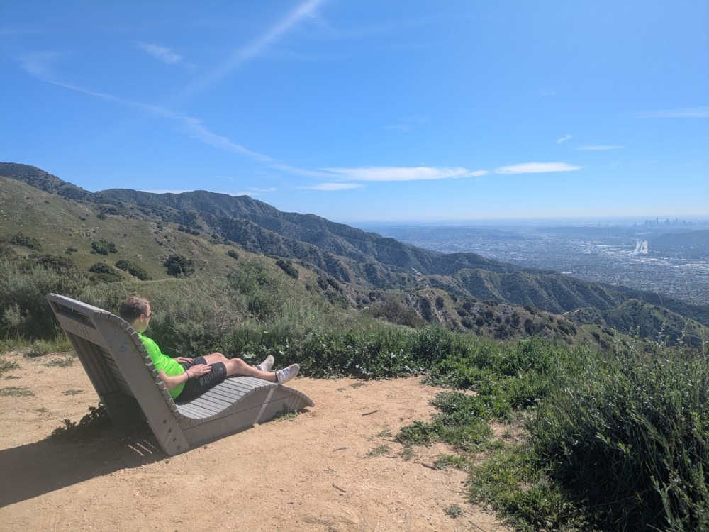
In another 20, we reached the Akopian memorial chair, an excellent place for taking in the back of the Hollywood hills and DTLA, whether sitting solo or sociably.
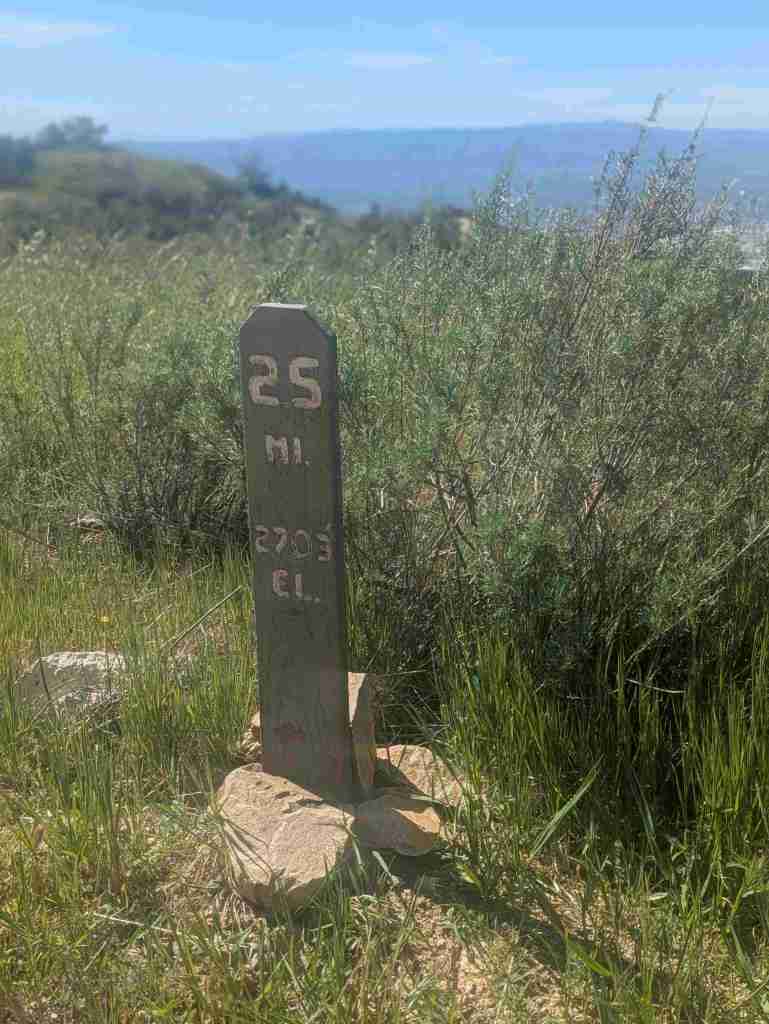
Exactly 3 hours from the start, we reached a point that is apparently 2.5 miles from somewhere, and 2,703 feet above the Pacific.
And here’s nice little peek of Strawberry Peak looking spiky.
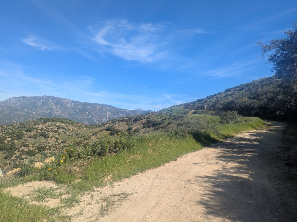
And the walker is looking a touch sprightlier now.
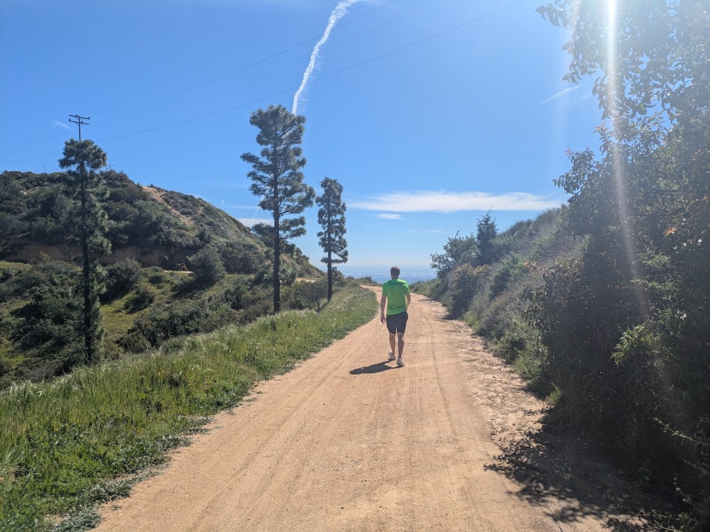
This is where we overreached a bit. We passed the “Plantation Lateral” (an offshoot that according to Google Maps turns into the La Tuna foot trail, which runs northwest for 2 miles to connect up with La Tuna Canyon Road a mile from the 210 exit) and continued on towards Verdugo Peak, thinking we might still make it down to the Skyline or Brand Park motorway, which with hindsight seems pretty silly of us.
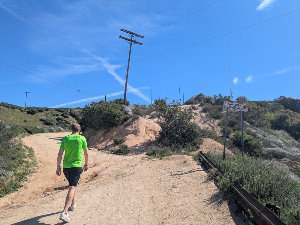
We got as far as the westerly knob of Verdugo Peak, right across from the bench with the American flag where we’d sat the previous morning. Consulting the map and my watch, I decided we needed to cut our losses and retrace our steps back to the Wildwood canyon / Vital link way down. Going on to Verdugo before reaching this conclusion added about 25 minutes each way.
In any case, James looks pretty cheerful to be getting in a bit of downhill!
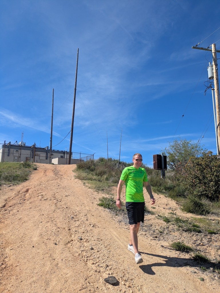
And it was quite a relief to reach the communications paraphernalia at the top of Wildwood.
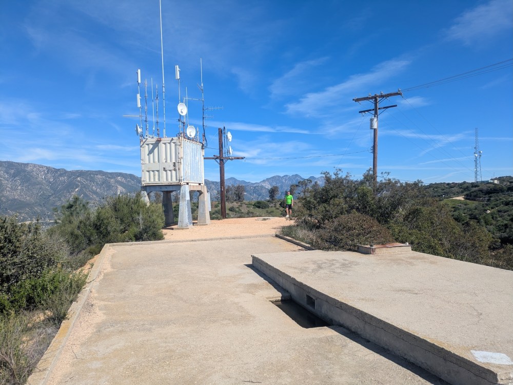
And then only a few more minutes to reach the sign marking the start of our final descent.

It’s impossible to take photos that convey steepness: this was terrifically so!
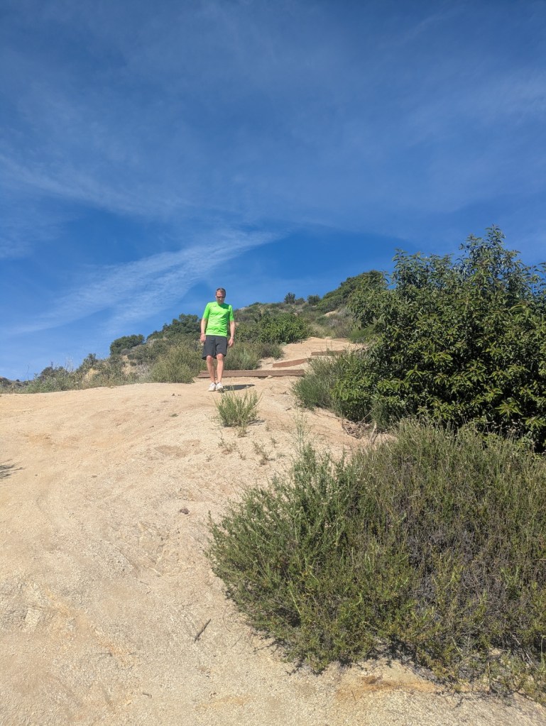
My valiant companion made it down despite his dehydration, and on the way down we met a woman coming up who was clearly struggling in the heat too. The first day of totally un-winter-like heat may have caught quite a few people out, I imagine.
The first important choice on the way down is not to go left at the first fork for Upper Wildwood canyon, but to keep right and carry on down on the main trail. We did then take the next left, to bring us out onto the road sooner, but you could also continue down to the main car park at the very bottom.
In one sense we made the right call: 40 minutes from the junction at the top, and just over 5 hours from the car, we encountered something we’ve rarely found on our LA hikes and were enormously grateful for this time: a working water fountain.
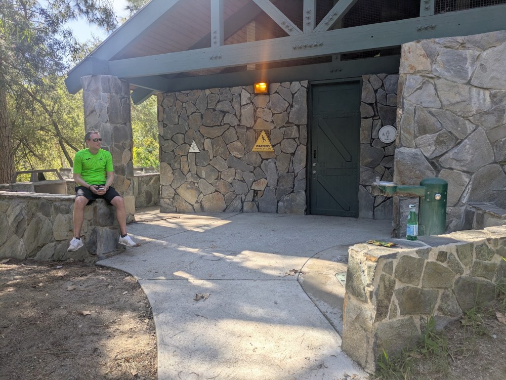
James kindly dealt with the problem of getting an Uber to find us, and I soaked in the pleasantness of shade and stillness.
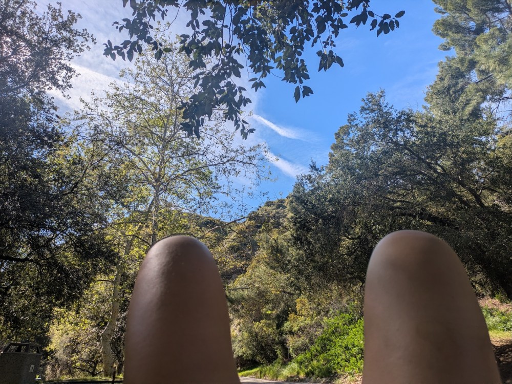
In the end we couldn’t get an Uber to come up that far, so we ordered it for the main Wildwood Canyon parking lot instead, and walked another 0.6 miles (around 15 minutes) down on the road. It felt strange and good to be back into the land of palm trees and someone coming to get us!
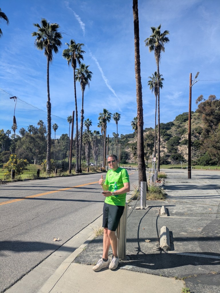
The Uber driver gave us Halls sucking sweets, which our thirst made taste like the nectar of the gods, and we got back to our car around 14:50. The previously deserted street was heaving with the cars of the parents of the little Christian children, but ours was fine, just out of the tow zone that started at 14:30.
We decided to drive to the clubhouse at DeBell and have an Arnold Palmer (for James) and a bonics (for me, our invention: beer plus tonic). Divine. I had two!
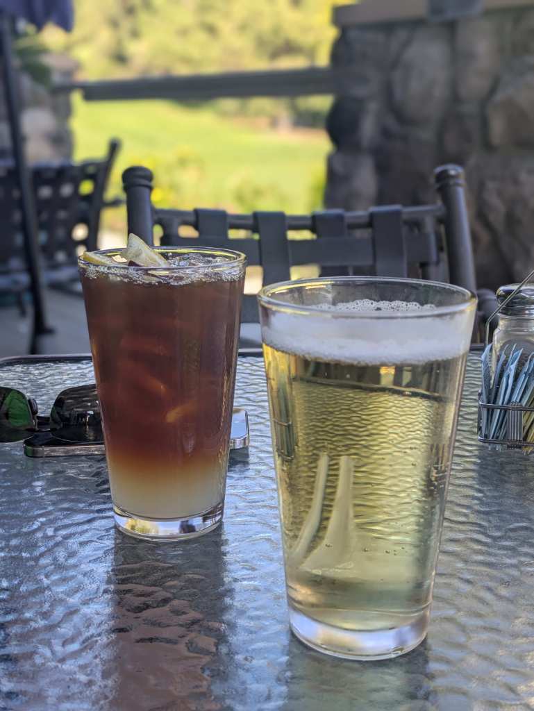
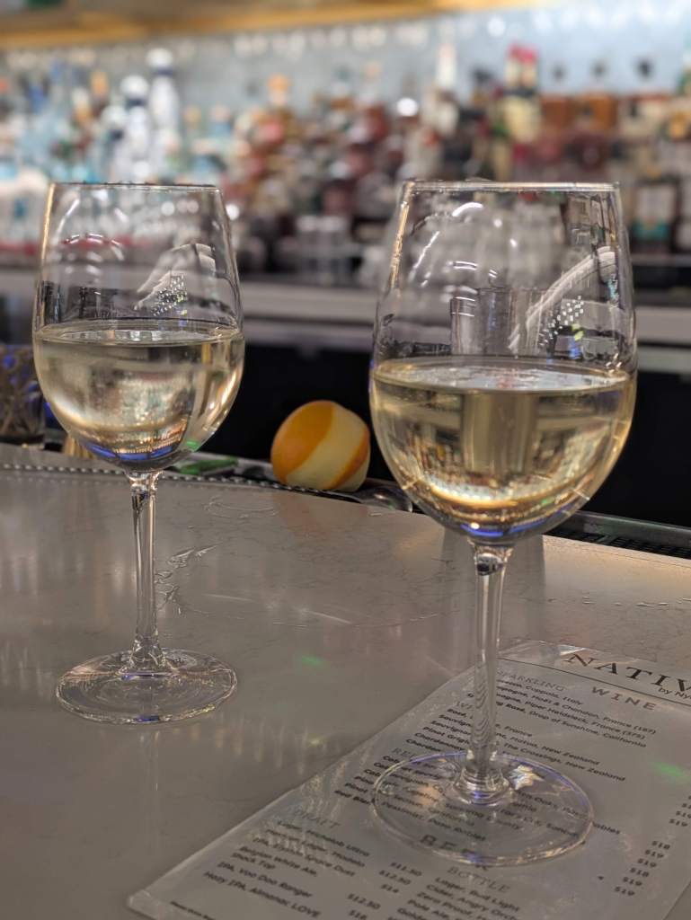
Then it was time to drive back to Pasadena, abandon all unreasonable thoughts of a quick beach trip, pack and tidy and clean and get rid of rubbish and eat a slap-up leftovers lunch/dinner, before getting onto the 110 in the early evening and saying farewell with two glasses of something a little stronger at Terminal 2.
Never inclined to pass up the chance for a blind tasting, we tested each other on champagne versus prosecco. (I ID’d them correctly and preferred the Moët, James got them wrong and preferred the prosecco!) A nicely cosmopolitan-romantic contrast to the morning’s exertions!
Thanks LA for another splendid birthday trip. Maybe we’ll do it again in 2027!


