Distance: 7.5 miles (12.1 km)
Time: 2 hours 50 including a short stop at the top
Elevation gain: 2,000 feet (610 metres)
Difficulty: terrain-wise, easy until the last half mile, then moderate; navigation-wise, easy; fitness-wise, easy until the last half mile, then very difficult
Drive: 45 minutes (33 miles) from old town Pasadena, east on the 210 and north on the 39 to Smith Mountain Trailhead / Upper Bear Creek Trailhead
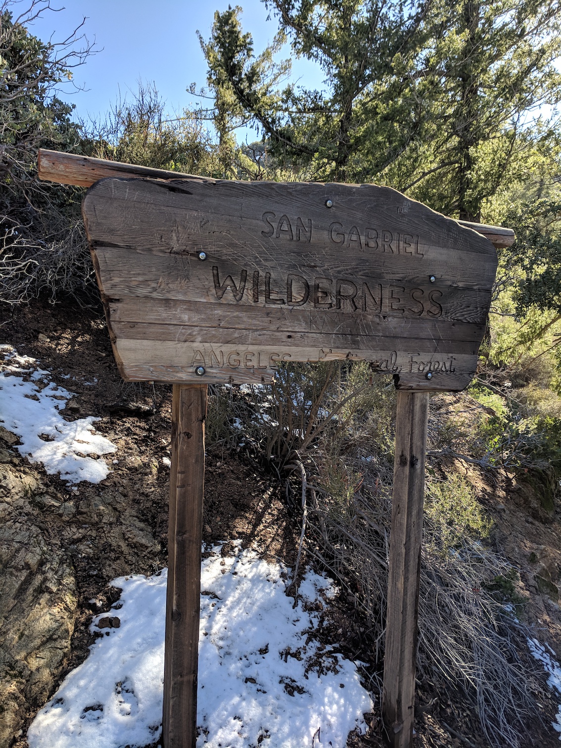
Trails of the Angeles hike no. 73
Modern Hiker has an account here, and hikespeak one here
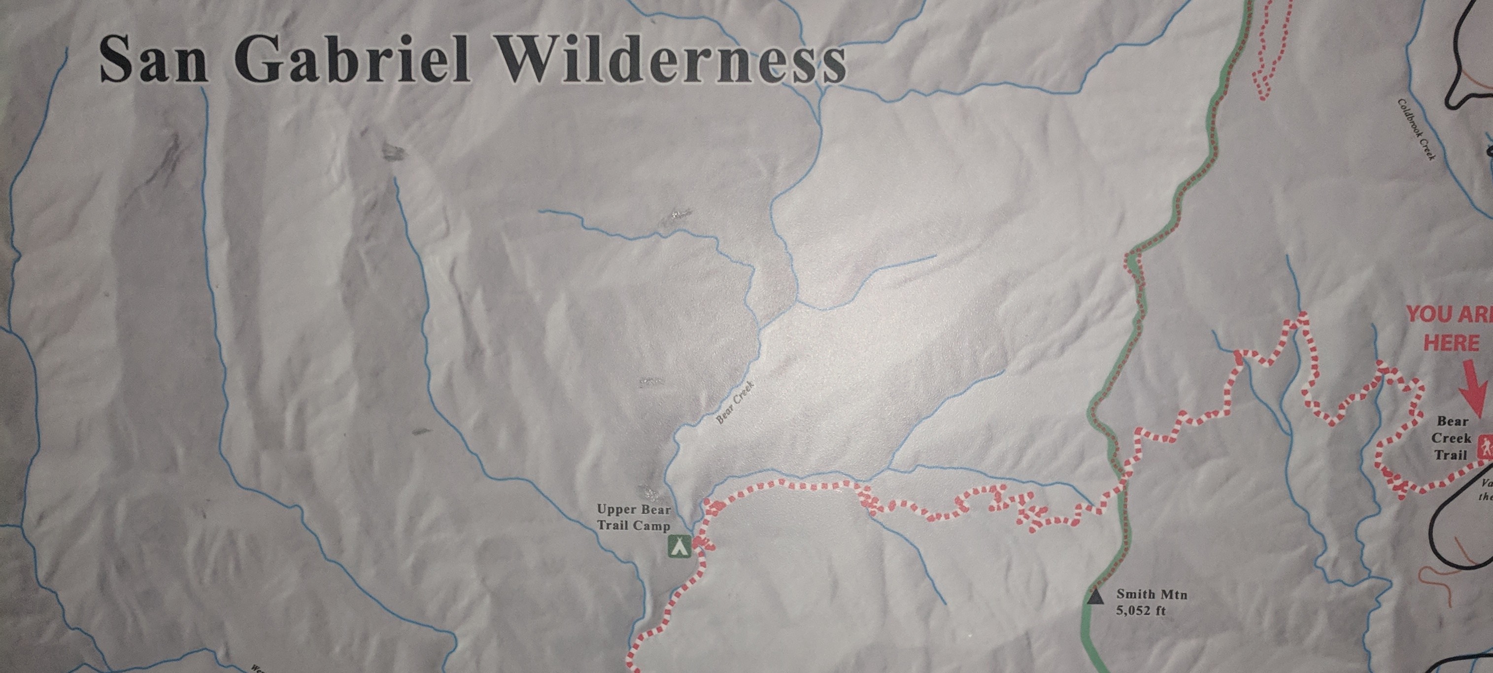
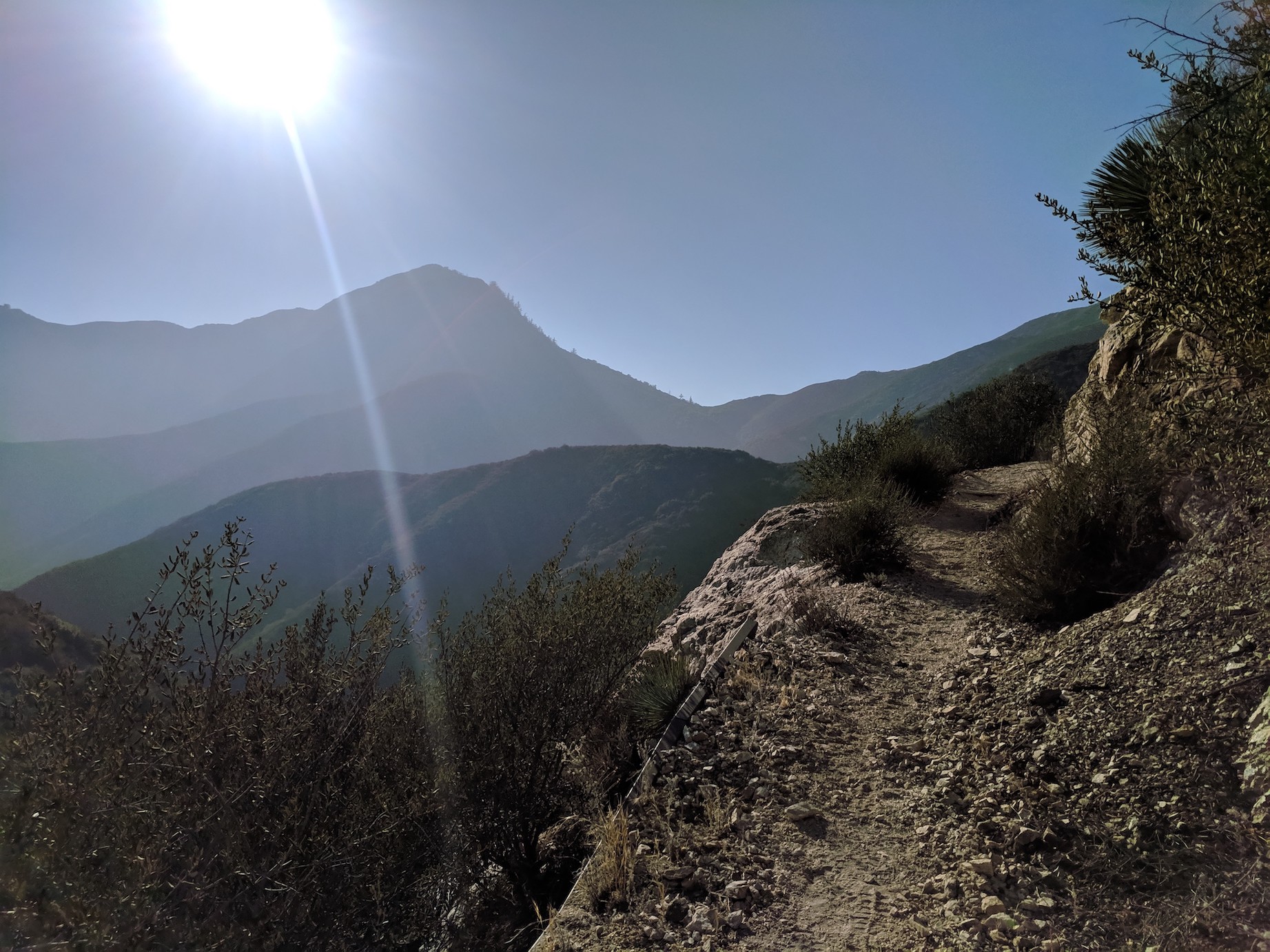
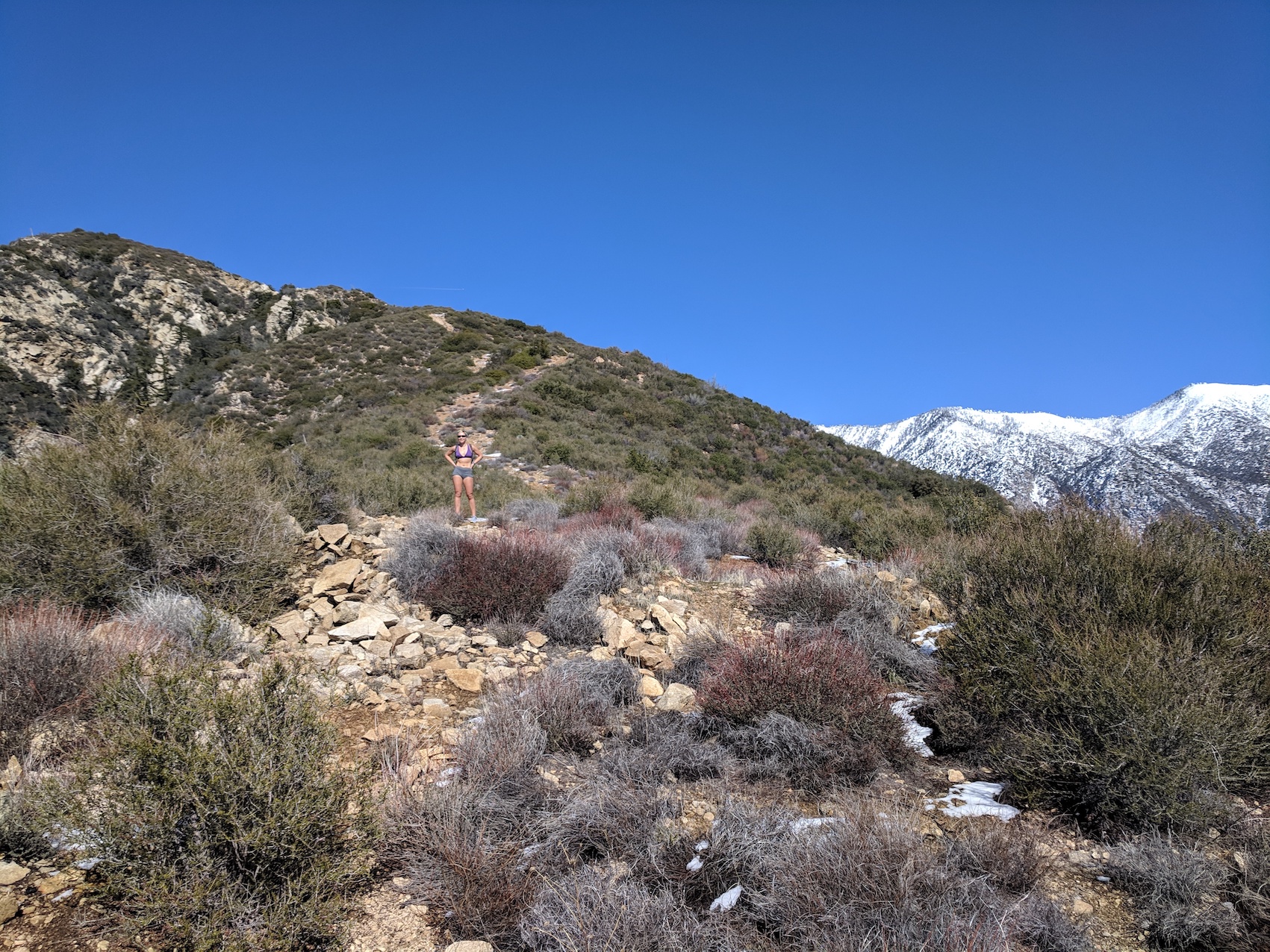
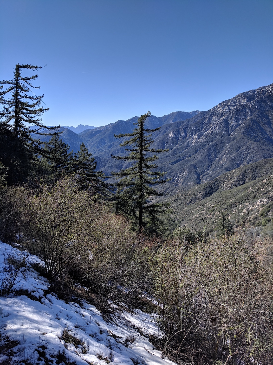
We started this walk rather closer to sunset than was optimal, but navigationally it’s dead simple: take the trail that starts at the roadside hut, and follow it 3 miles (4.8 km) to Smith Saddle, then tackle the steepest half mile we’ve ever done, rock-scrambling and thorn-dodging 800 feet (244 metres) up to a sneaky false summit and then the real one. About a mile from the start you get your first view of the saddle before the steep section, and the dramatically precipitous summit comes enticingly in and out of view over the 3 miles.
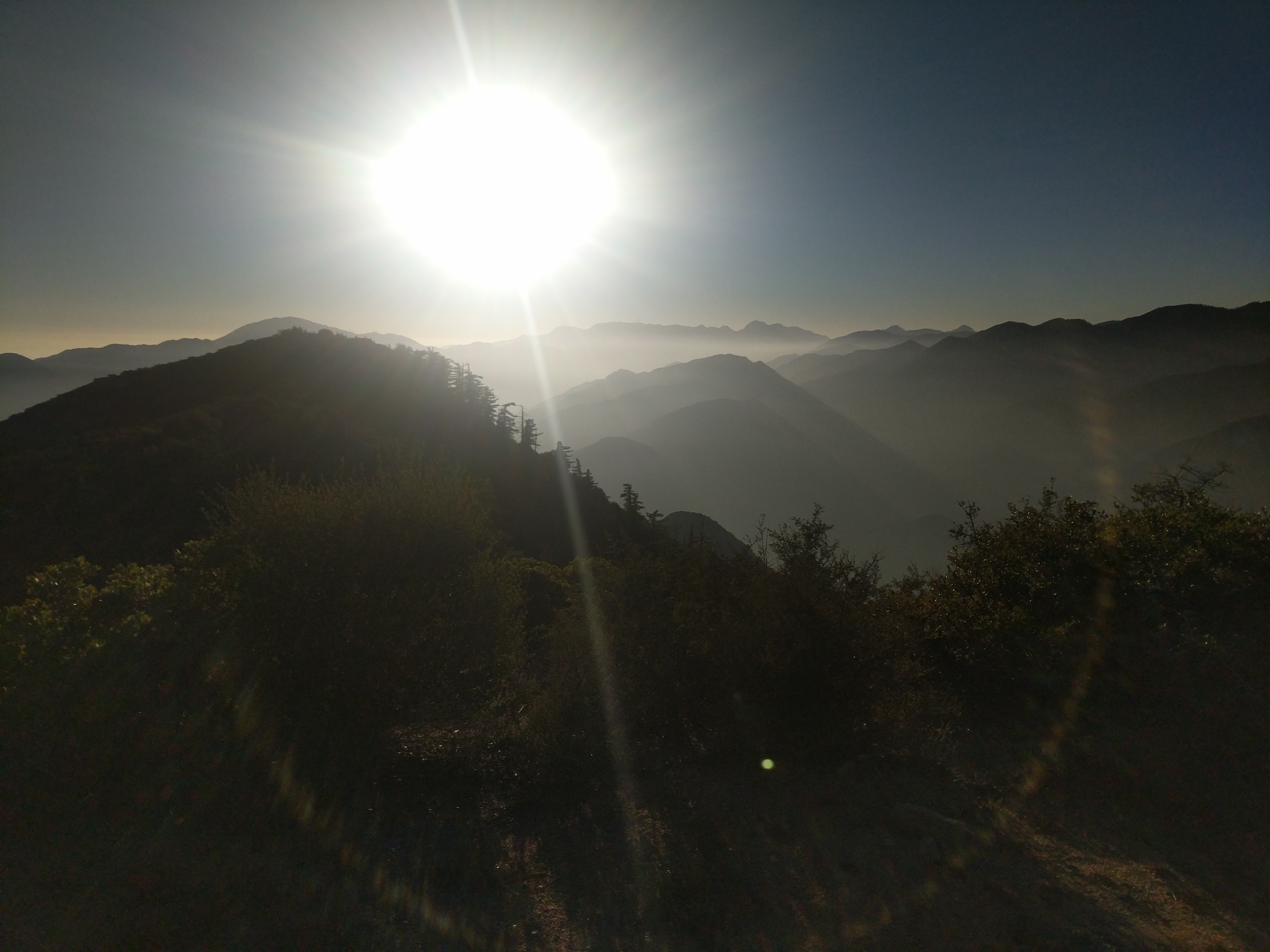
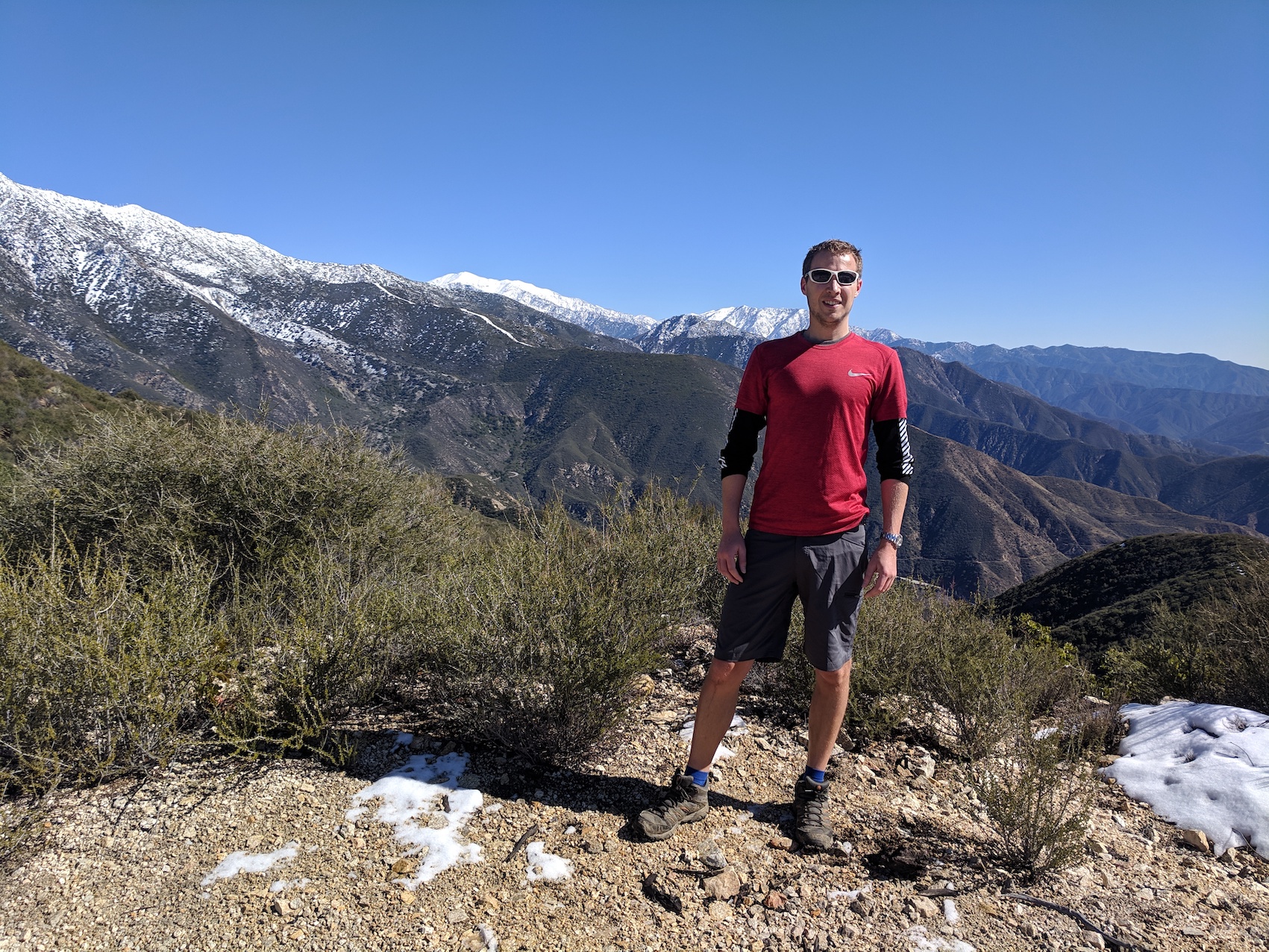
The 360º sunset views over the San Gabriel Wilderness to the west and the dramatic Twin Peaks Ridge and Waterman Mountain to the northwest were spectacular, though we were disappointed, given the Ridge is apparently ‘one of the last citadels of bighorn sheep in this range’, not to catch any glimpses of sheeplike creatures to keep James’s Welshness happy.
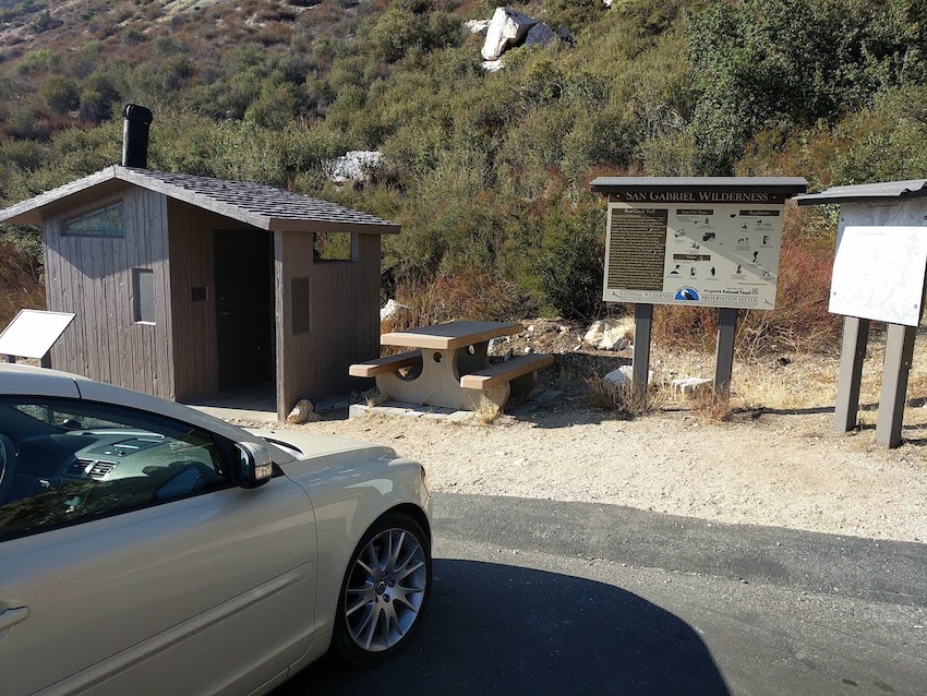
Your starting point
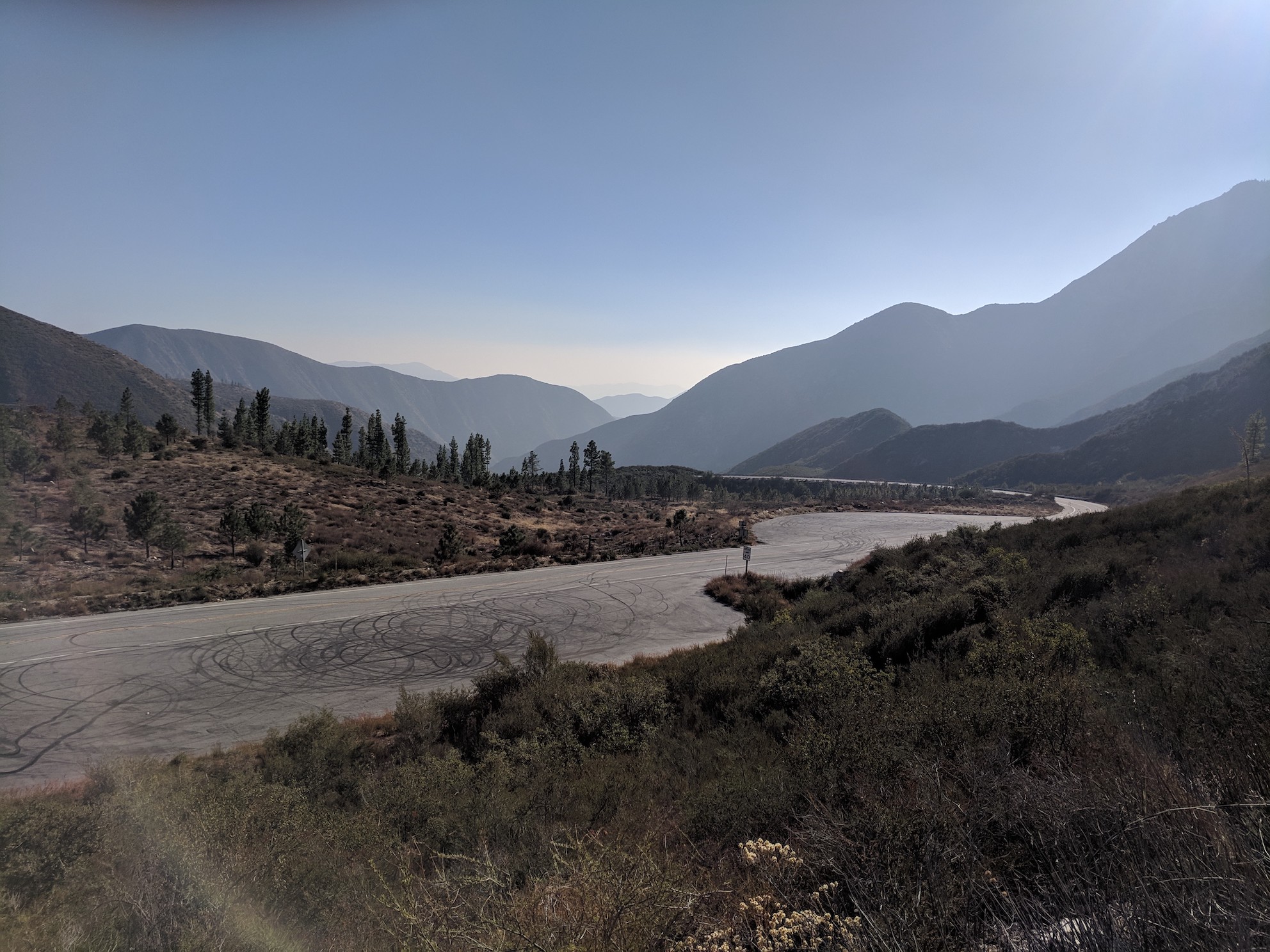
The view south from the very start of the trail
An early sighting of Smith
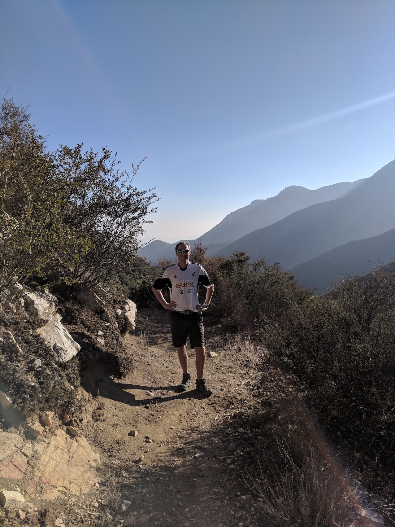
James models the Swansea stash…
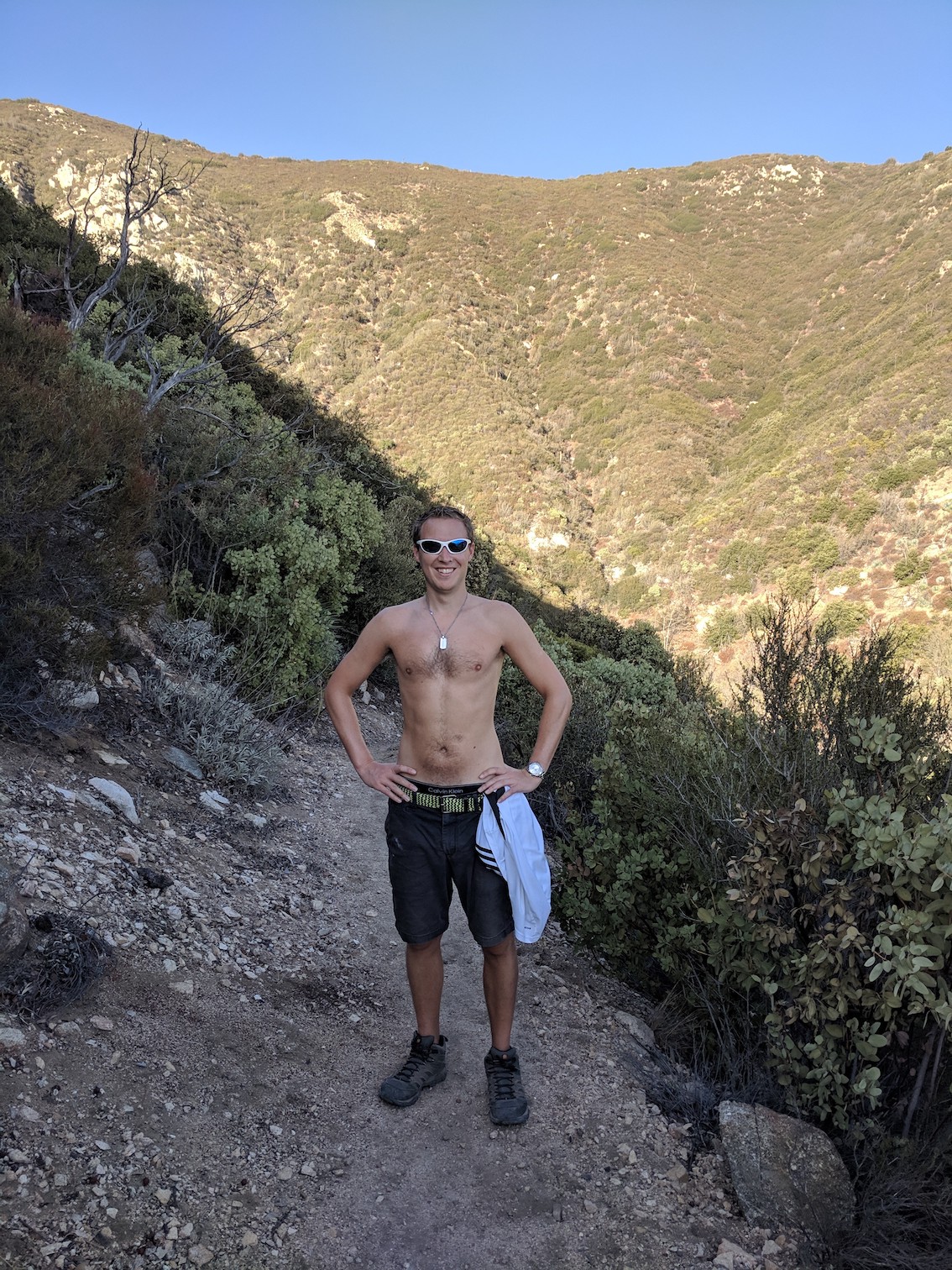
…and treats us to a rare topless moment
Views open up back down the North Fork valley, with Mount Baldy in the distance (the top left spike)
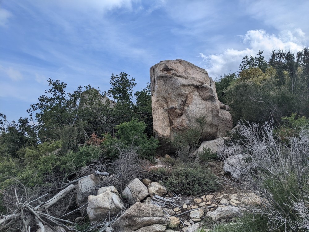
And Smith starts to look more imposing
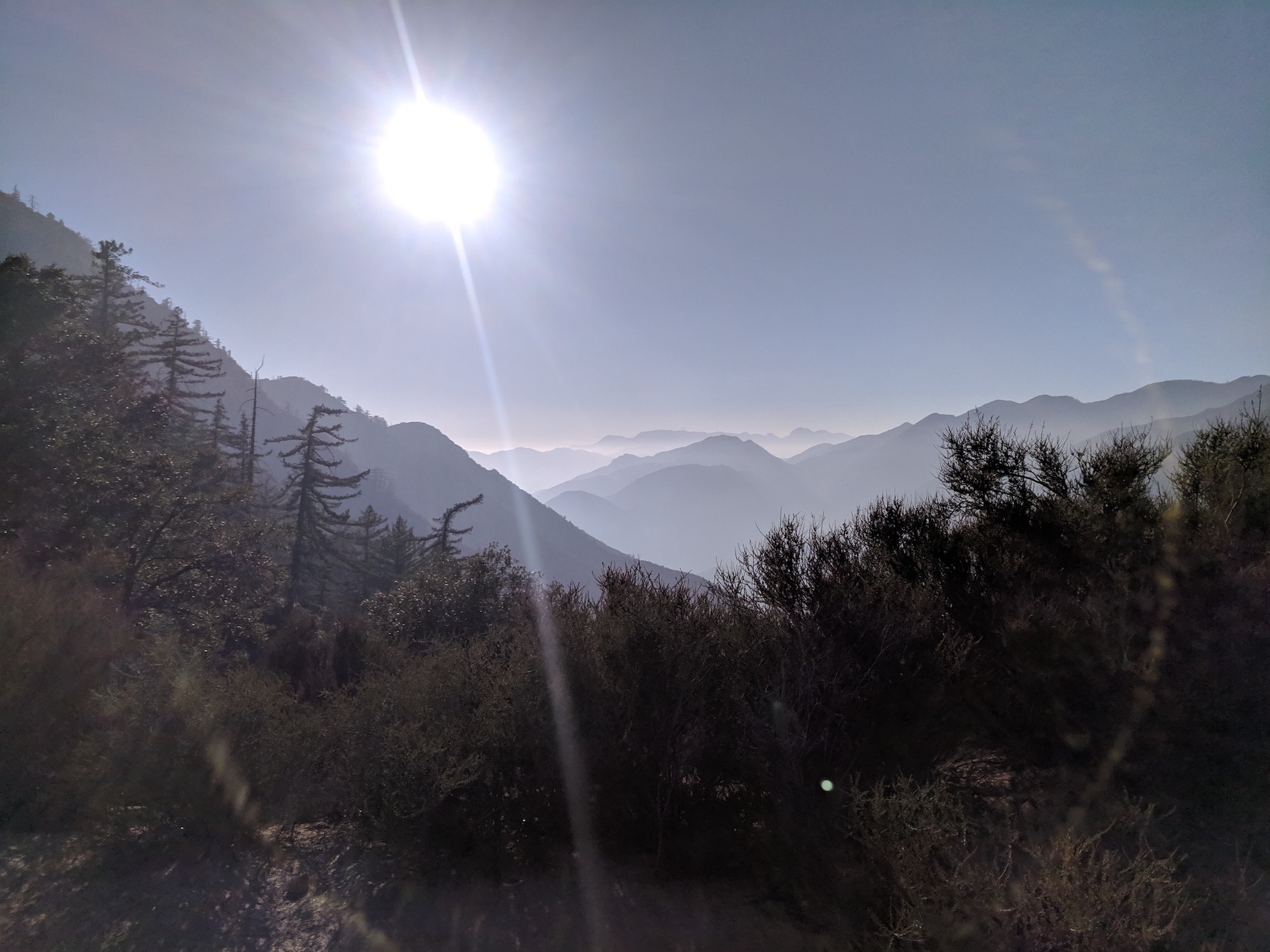
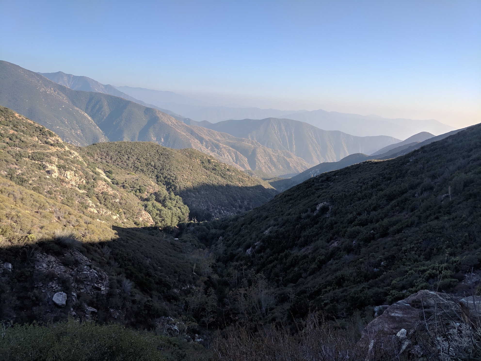
Looking west from Smith Saddle over Bear Creek into the Wilderness
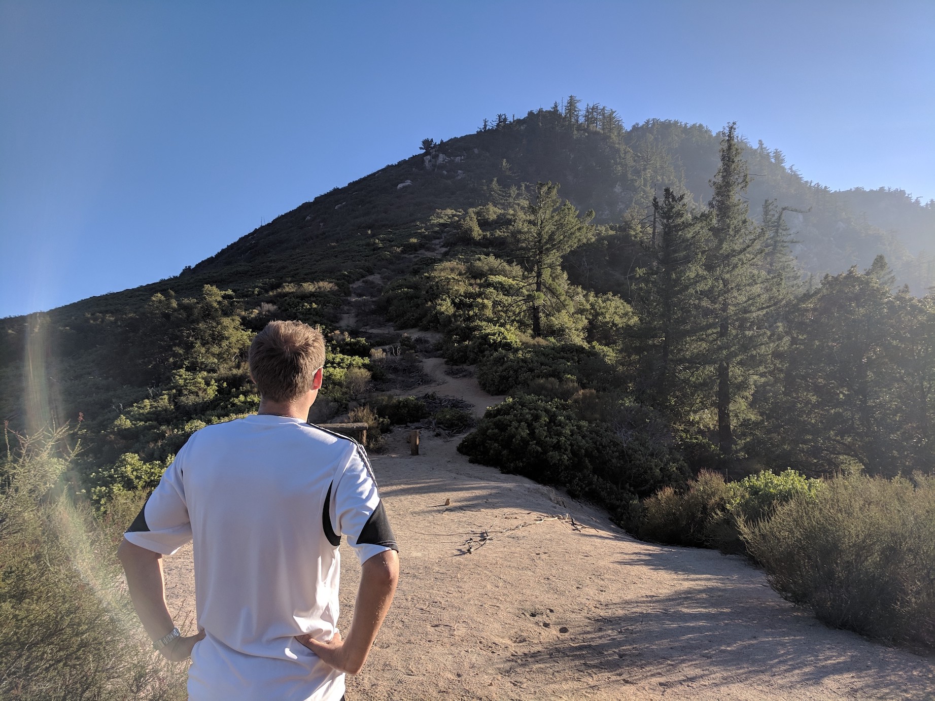
Contemplating the final stretch…
…and setting off full of false confidence
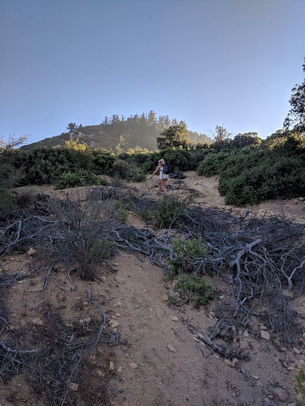
Looking back towards Mount Islip from halfway up
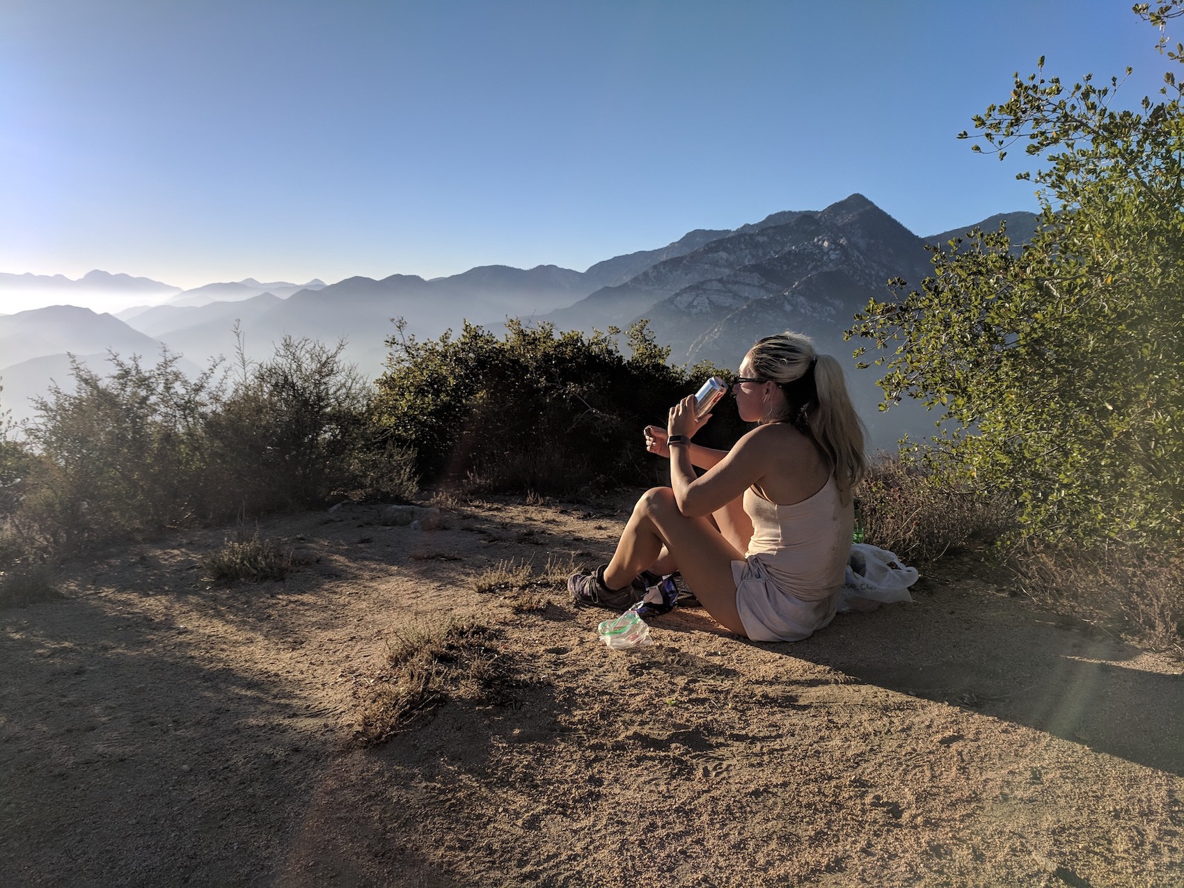
Victory: nearly too chilly for Coors, but not quite
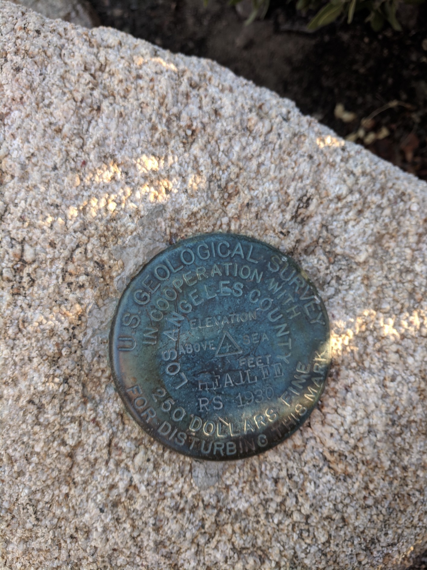
A helpful badge with the only conceivable interesting information (5,111 feet above sea level) strangely absent, and using the mountain’s former name, Headlee.
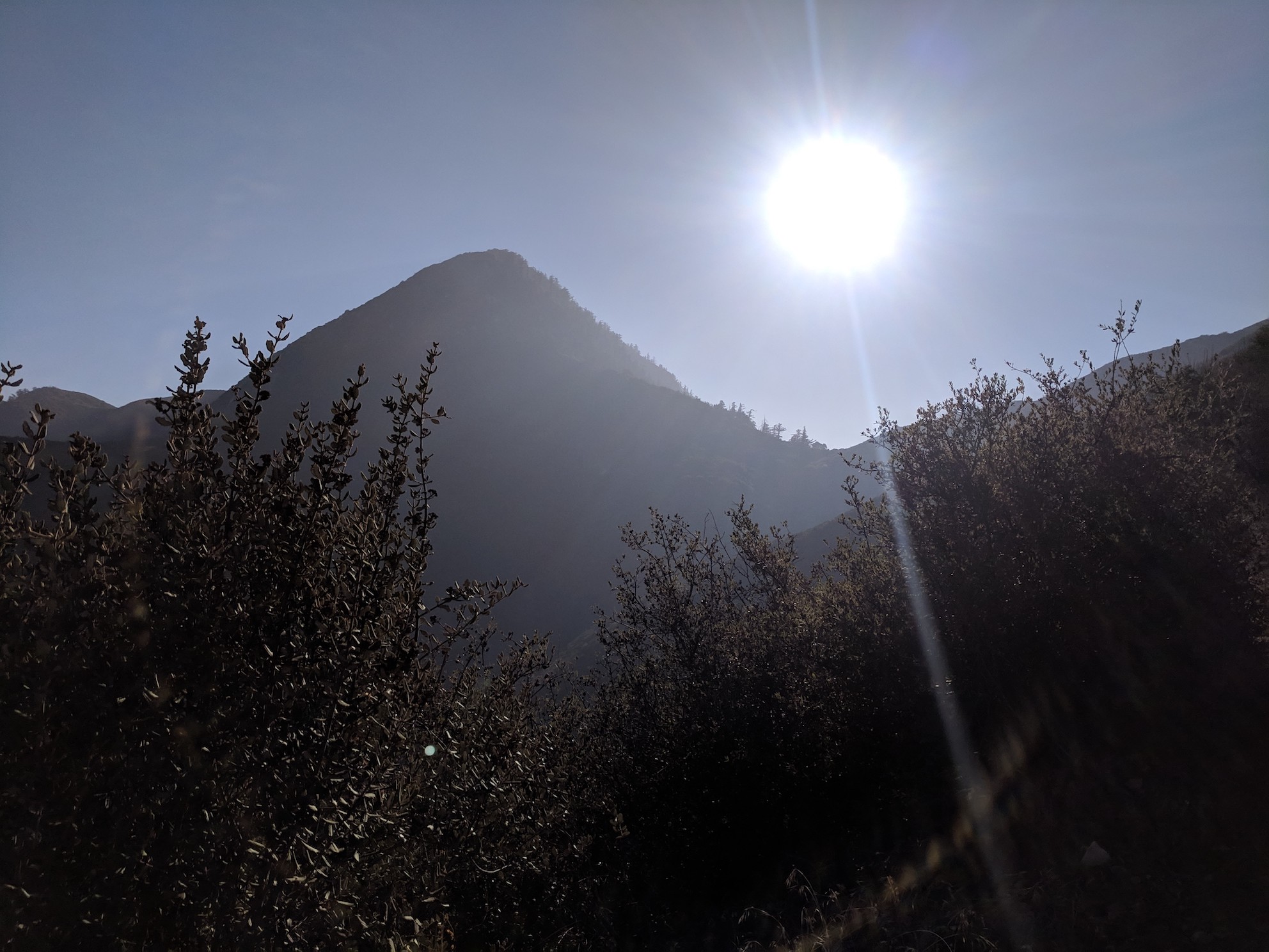
The westerly sunset…
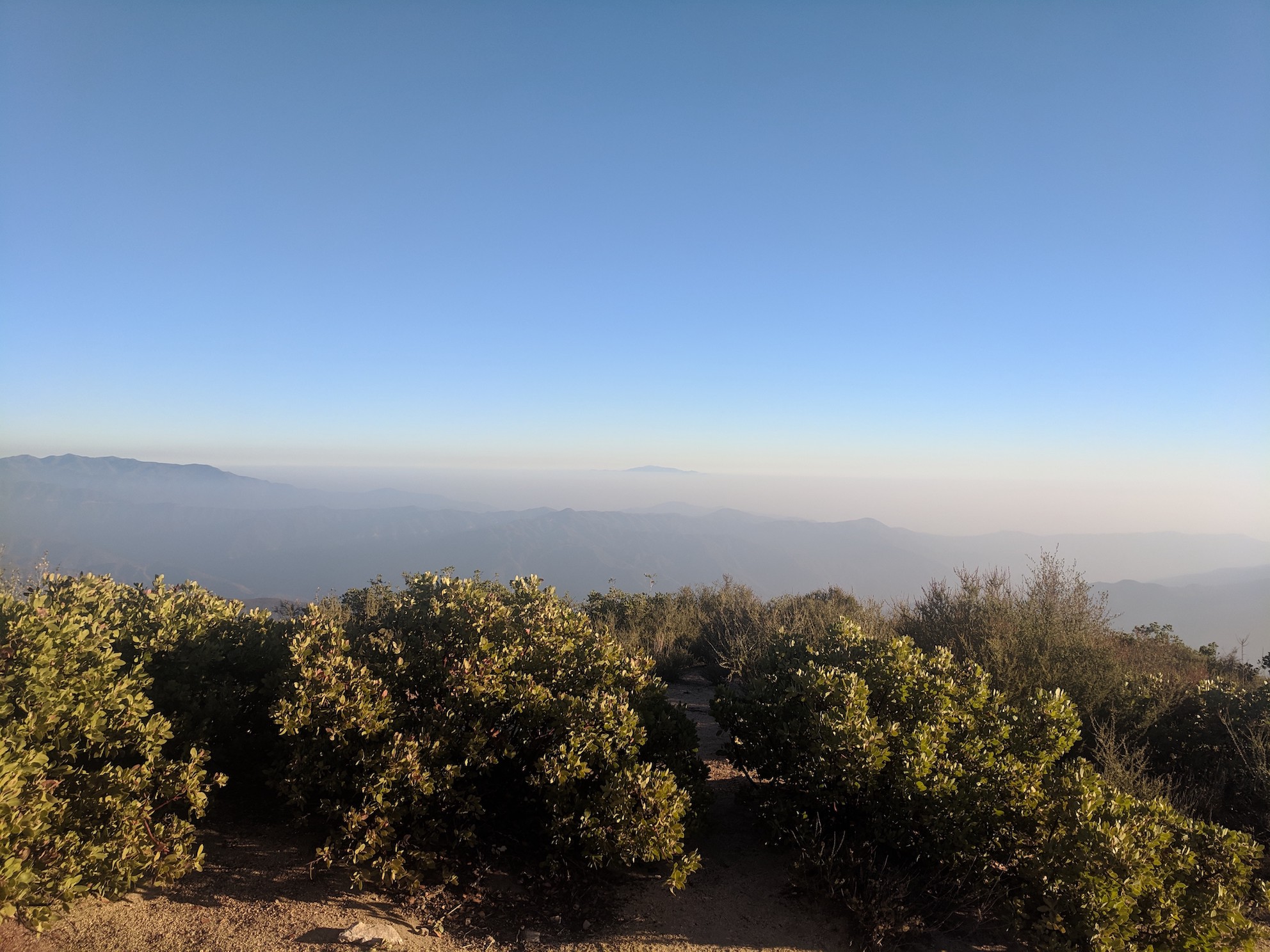
…and the southerly haze
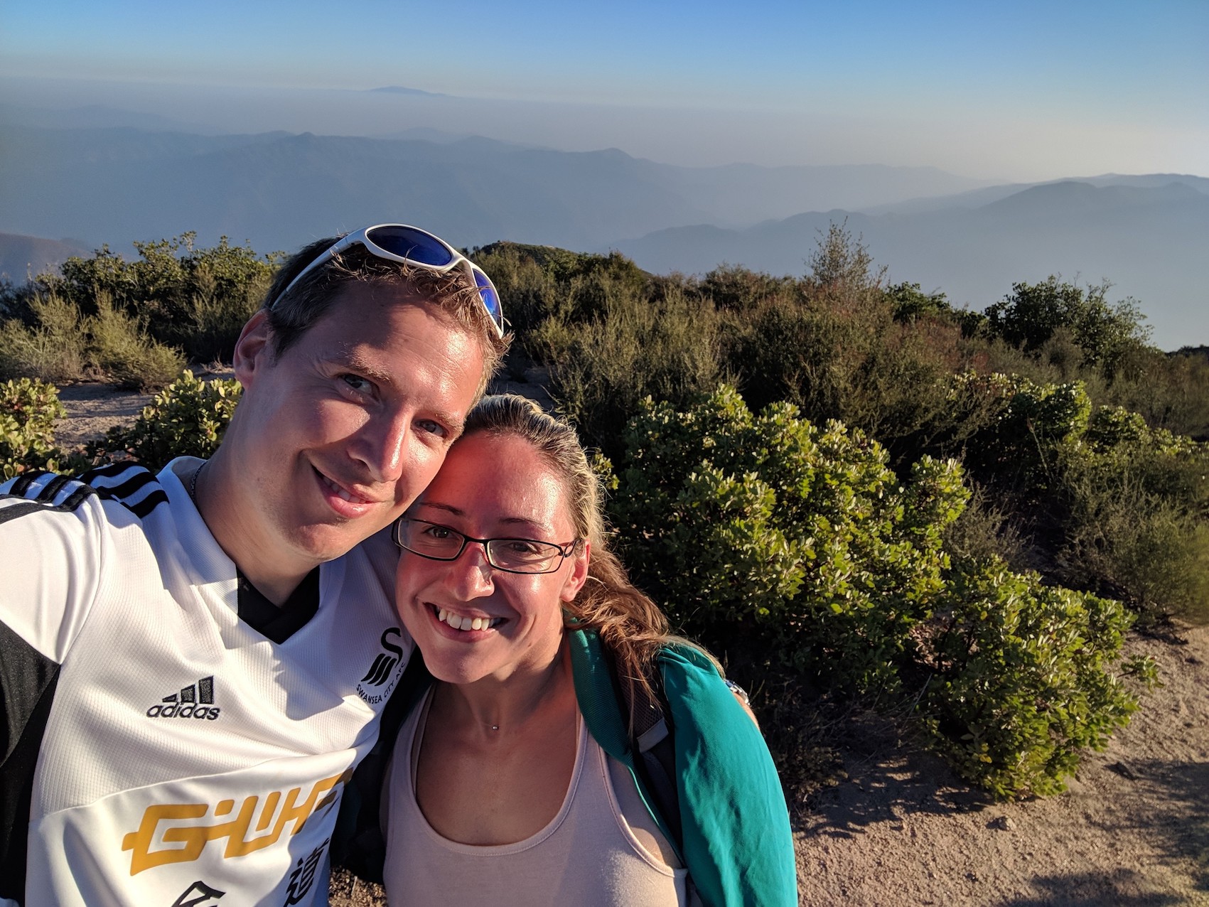
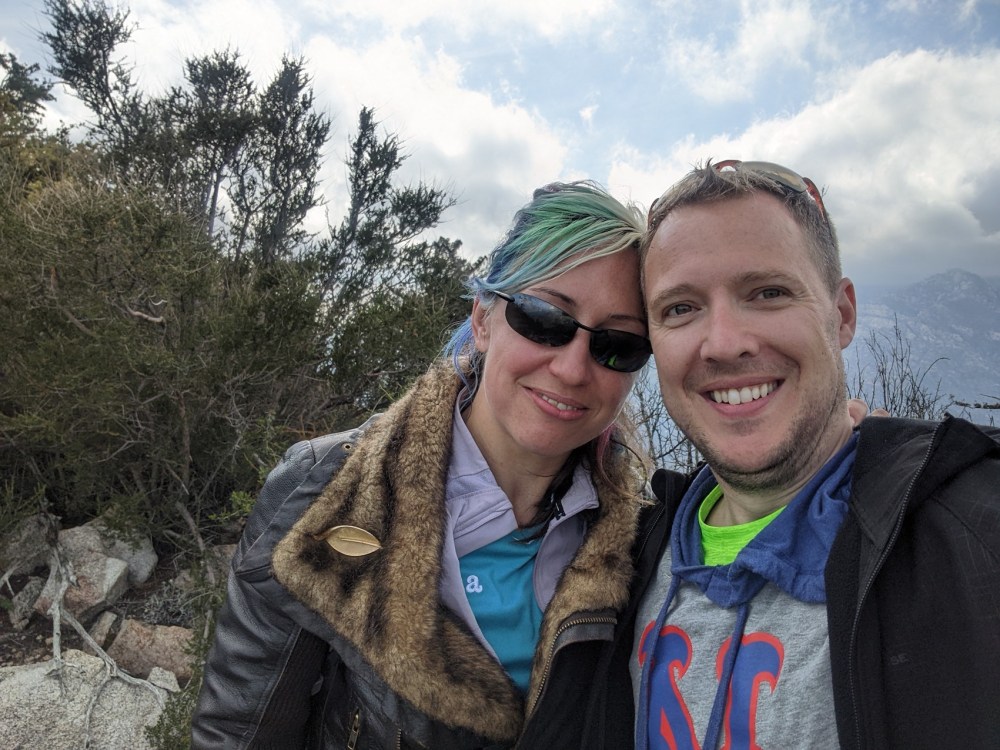
The obligatory selfie…
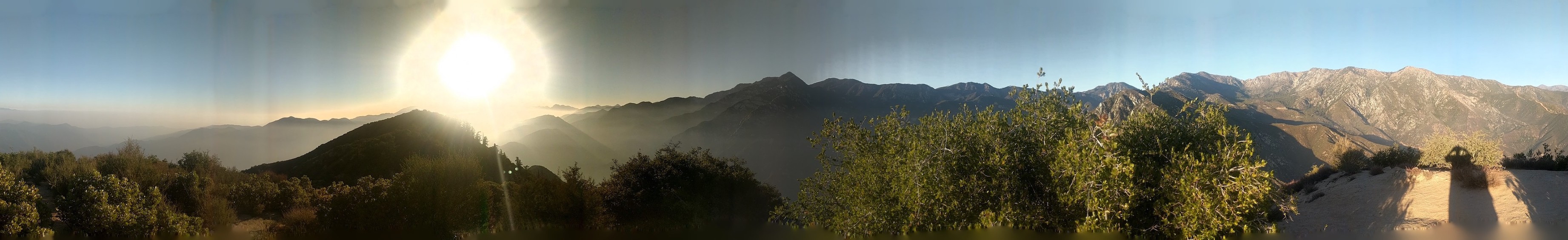
…and the obligatory panoramic.
*Update/variant February 2019*
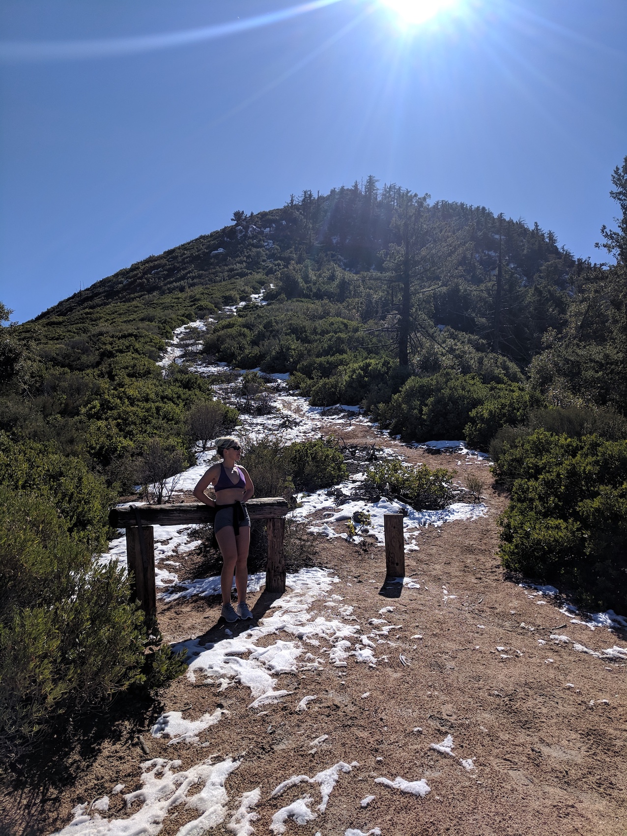
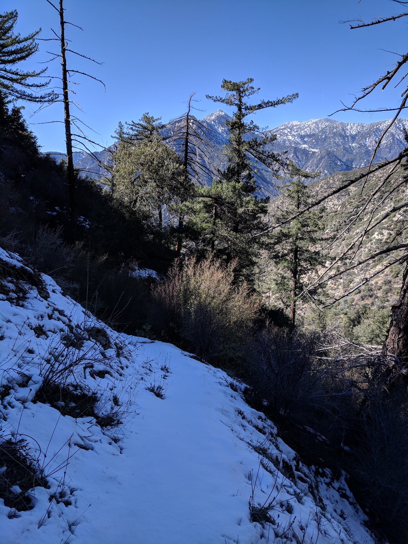
We ventured up here again on 11 February with a lot of snow still on the ground. From the saddle the climb up to the summit would have been impossible and/or stupid without more/any gear, so instead we turned north and scrambled up the firebreak for half a mile or so. There were a couple of slightly hairy steep slippy parts, but we got as far as a nice snowy plateau with a handy log or two for lunching on.
We also spent about 15 minutes of exploring the Bear Creek trail that continues on west from the saddle, into the eastern fringes of the San Gabriel Wilderness. It looked lovely, but there were quite soon some snowy patches narrow and slippery enough not to want to continue.
These bits and pieces took the total distance to 7.5 miles / 12 km, and the elevation gain to around 2,460 feet / 750 metres (according to the Fitbit, which I don’t totally trust). We took around 3 hours in total again, including short breaks (not the lunch stop). The main ascent to the saddle took 1 hour 10 minutes, the descent back to the car from there about 55 minutes.
Deciding against the summit
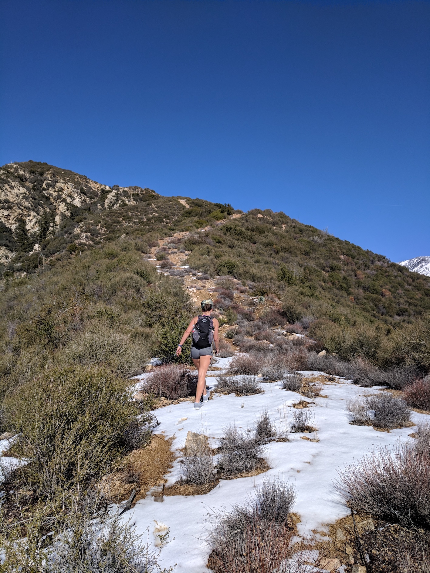
Tackling the firebreak instead
Waiting for slowcoach
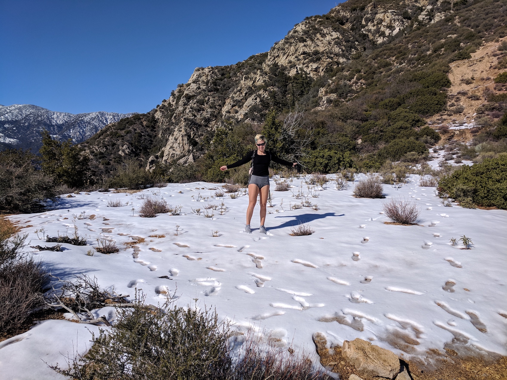
Enjoying snow
Posing with snow
Crossing into the Wilderness
Enticing vistas…
…but giving up here
*Update marriage proposal hike May 2023!*
In the post I wrote about our wedding hike, I included a bit of a preamble about my first attempt at a proposal on 6 May 2023, thwarted by snow on the Windy Gap trail. I paused the story at the point where James was trying to make us having a boring low-down walk around the lake (though I would like to see it up close one day!) and I was secretly longing for a summit to carry out my plan.
I prevailed by suggesting Smith, which was a known quantity, so less in danger of making us miss the Galaxy game in South LA that evening, and also much lower-altitude (5,111 versus 8,261 feet / 1,559 v 2,518 metres), so more likely to have a passable trail. So we got drove 20 minutes back down the 39 to the Upper Bear Creek trailhead and set off again.
It was strange to start a whole new hike straightaway after attempting the first one. It felt like a different universe just these few miles down the road, with spring flowers out in force; I was reminded of all the flower photos I’d taken around the same time the previous year, when James and I were separated yet I was scoping it out—and ruling it out!—for a possible proposal to him one day. It was warm enough that after a while I took my coat and then my leggings off, and eventually, on the way back down, even the outermost of my tops. But neither of us got to the toplessness James had treated us to on our first ever ascent back in 2018.
We’d left the car at 2 pm and he set us a strict deadline of 5 pm to be back at the car, allowing us 2 hours to get to the stadium, which seemed a bit overkill to me but I agreed. Having not reread my earlier accounts, I’d hoped the way up to the saddle would take only about an hour, but had an inkling it might be more, and indeed it was about 75 minutes, as previously.
When we reached the saddle at 3:15, I optimistically said it might take 15 or 20 minutes to the top. James sensibly allowed us that plus 15 minutes to picnic before coming back down. And we set off up the ultra-steep slope together but I soon went on ahead, and I used the mind-clearing exertion to rehearse my speech, adding in a bit about Gwyneth Paltrow and Chris Martin (à propos splitting up with each other so carefully and kindly, and that being what had finally allowed my clarity to emerge), and rejigging a little of the rest: about adventuring with him, and having caused him pain, and him having allowed me to try out alternatives without being forced away from him. It turns out that an exhaustingly steep climb is excellent for proposal speech fine-tuning!
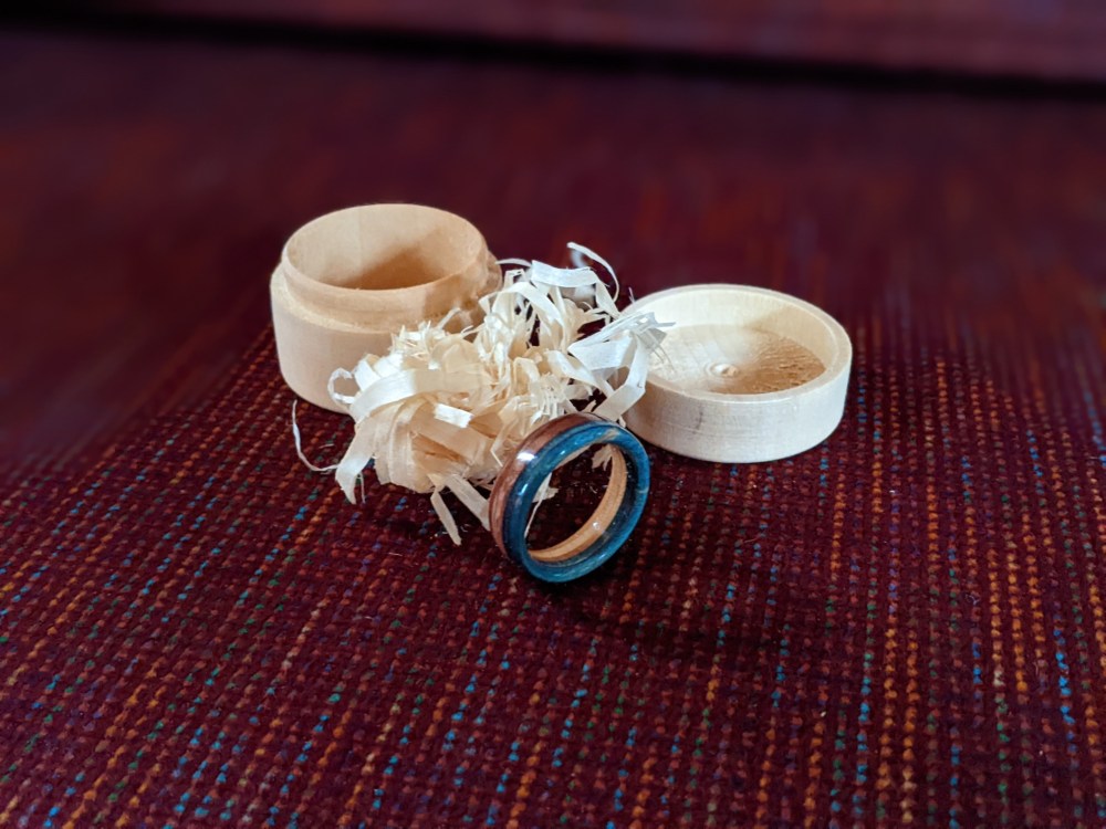
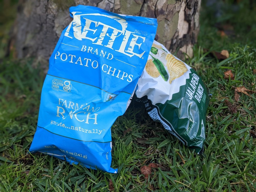
I got to the false summit and thought I should stop and wait for him, and had a quick piss and he didn’t come after about five minutes, and then I heard him call my name and got worried that he was hurt or in trouble, and started back down. But he soon came into view and was only a bit exhausted. So I showed him how close the “pre-summit lump” was, and we found a little flat patch under a big rock with views over the valley and the ridge we’d spent the morning in, and it was rather helpful to be on a deadline, so I couldn’t mess around. So I dug out the ring box (I’d bought one more than a year before, from a Polish craftsman on Etsy called BoardThing who makes them out of recycled surfboards) and rummaged it into the middle of our bag of self-mixed ranch and sour cream / jalapeño crisps, and after he’d had a bite of bagel he helped himself to some crisps, and he pulled out the little cylindrical box and asked “what’s this?”. I think maybe he made some incorrect guess that I don’t remember, and I said that I had a little speech and that I knew we had a deadline, and then I paused before I began.
Most of the time I spoke I was looking over the peaks to the east, but I my whole attention was on him, sitting there just below me, and on how he might be hearing this, processing it, responding to it. And he reached out and put his hand on my leg when I first mentioned the ten years and all of the parts with him having felt like such an adventure. And he interjected at a couple of points, including when I mentioned conscious uncoupling and he said “damn, does this mean we have to stop making fun of them now?”, and I said it was a rather lovely concept, even though an awful name. (As coauthor of the world’s leading textbook on consciousness, lots of which explores the problems of drawing any hard lines between conscious and unconscious, I think I get to pass that judgement.) And so I knew he was with me as I talked, and that he was responding positively (not guaranteed, given all the turbulence of our separation and what preceded it), and so I carried on. I paused before the final question, and as I finally expressed it, he seemed taken aback despite all the preamble, and then he burst out laughing. I think maybe he swore gently (“bloody hell Tree” or similar). And after more laughter he paused and said yes, of course yes. And a bit later he also asked “are you 100% sure?”, and then quickly added, “scratch that, are you very confident?”, and all I did was nod.
And he took out the ring from its round box and its wood shavings, and it fitted his ring finger perfectly (though we weren’t sure how that would mean it would fit when not swollen from the exertion!), and he stood up and we hugged and kissed in the midst of all that splendour. And then we sat down and went back to our bagels, since we did have a football match to get to. And it all just felt simple and lovely and obvious and right. And it didn’t matter that we couldn’t see LA or the Mojave from our proposal spot, as I’d always had in mind, or that we weren’t at the top but only on our little rocky lump. We took a few selfies, but what I’ll always remember will be the views over to Islip, cloud-shrouded on top, that I was gazing out over as I spoke to him.
James took the ring off for the tricky descent to the saddle, but he said that even the few picnic minutes were longer than he’d ever worn a ring before. Then he put it back on for the main trail and wore it happily most of the 5 months and a day between that day and our wedding day.
Just as it was helpful to have the ascent to tinker with my speech—and wonderful to have the hot sunny hike up Islip to mentally prepare for the wedding ceremony, including rehearsing the part of our vows that we’d decided to memorise and say aloud together—it was lovely to have the walk down to gradually explore how we felt about it all, and what might come next. We even talked about shotgun weddings in Vegas or New York—but of course decided against them in the end!
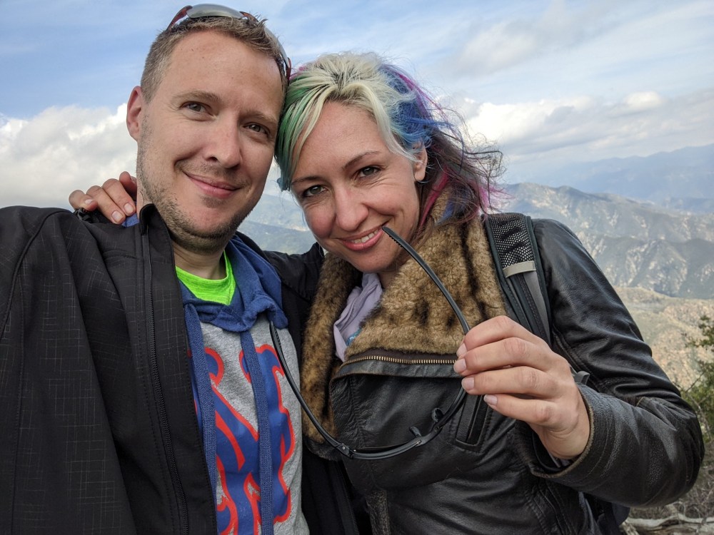
So, here are the few photos that we took. First the obligatory newly engaged selfies:
Then the view over to cloud-covered Islip, where we’d tried to get to for the proposal and where we would marry in the autumn.

And James with the same view, looking pretty chuffed, if I do say so myself.

And the view back up to our pre-summit lump once we’d started back down.
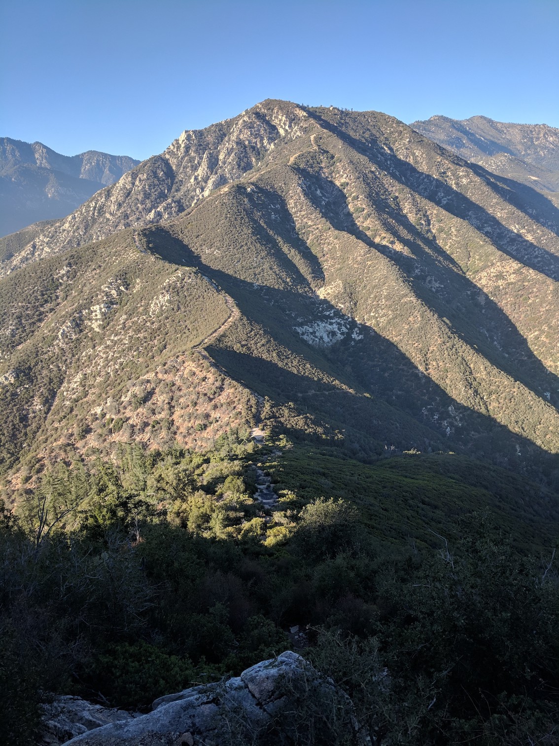
And the summit from halfway down the trail, such a neat green triangle against the blue.

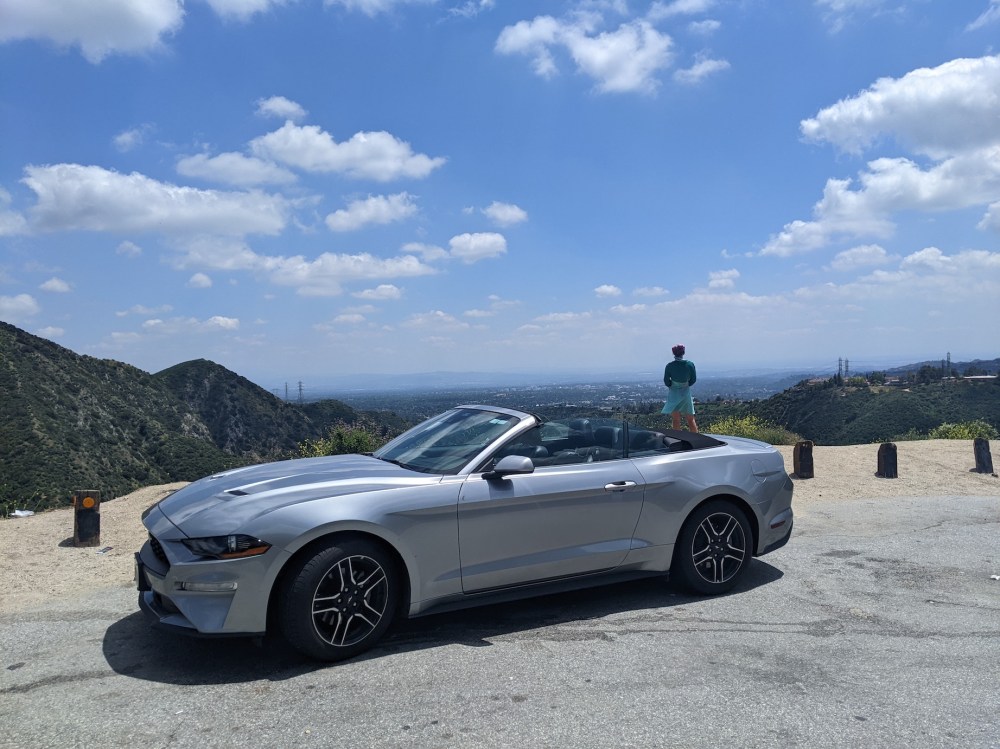
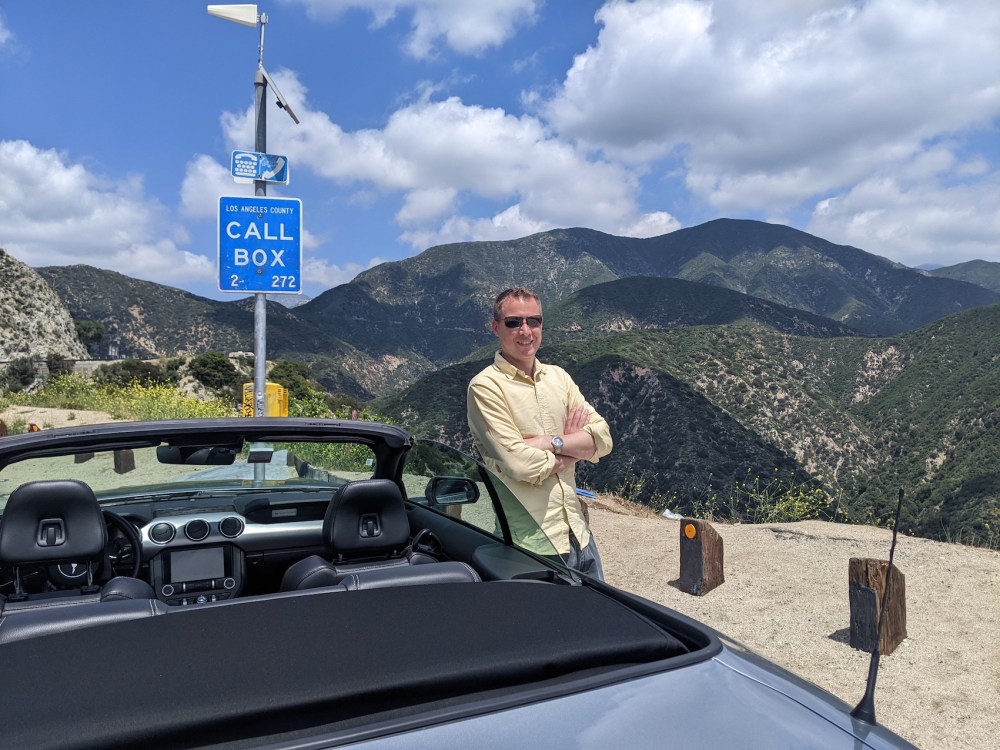
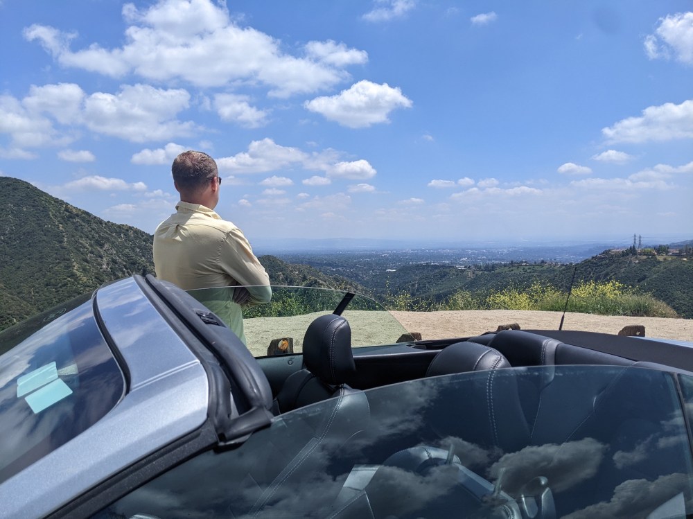
And clearly we weren’t too worried about traffic, since we stopped at one of the classic photo-op turnouts off the 2 to snap a few pics of us and the Mustang.

We got to the Beckham statue at the stadium only 5 minutes late, and at halftime we told our friend Simon the news. It felt fitting that he was the first person to know, since he’d hiked often with us in the Pasadena days—and, though we had no inkling of it then, he would later be the officiant at our wedding.
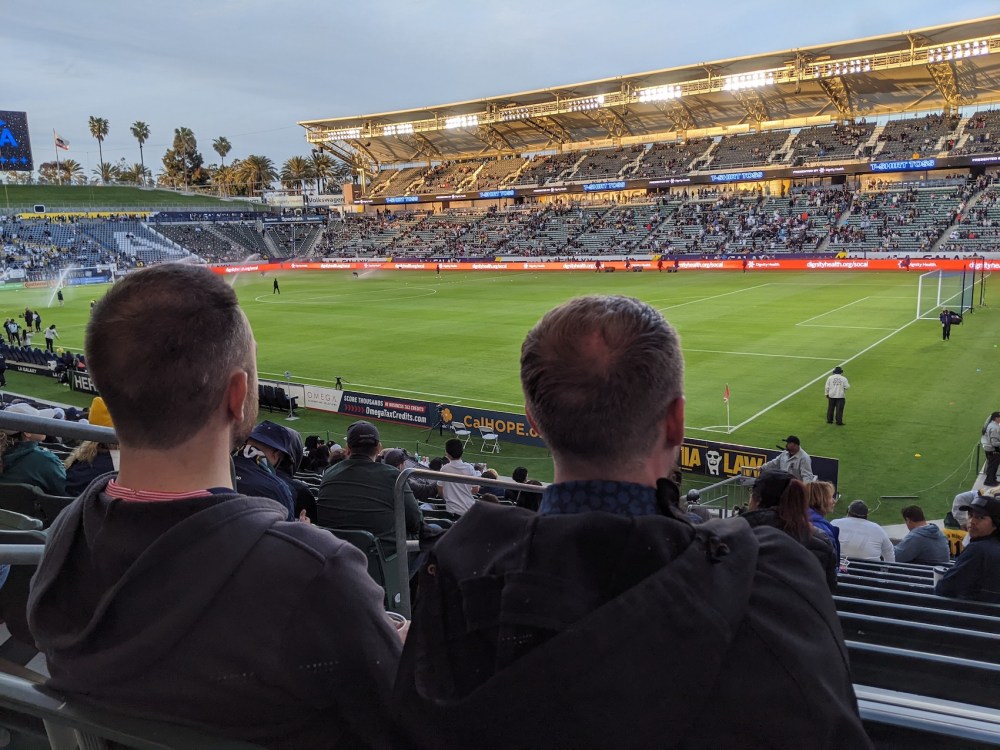
Apparently the second-largest soccer-specific stadium in the US! And I bet the one with the best palm trees.
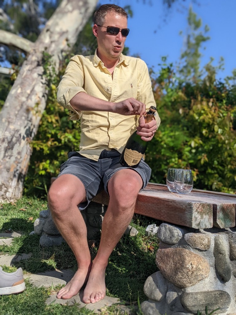
The next morning, we had our favourite Californian bubbly in the garden of our Altadena Airbnb.
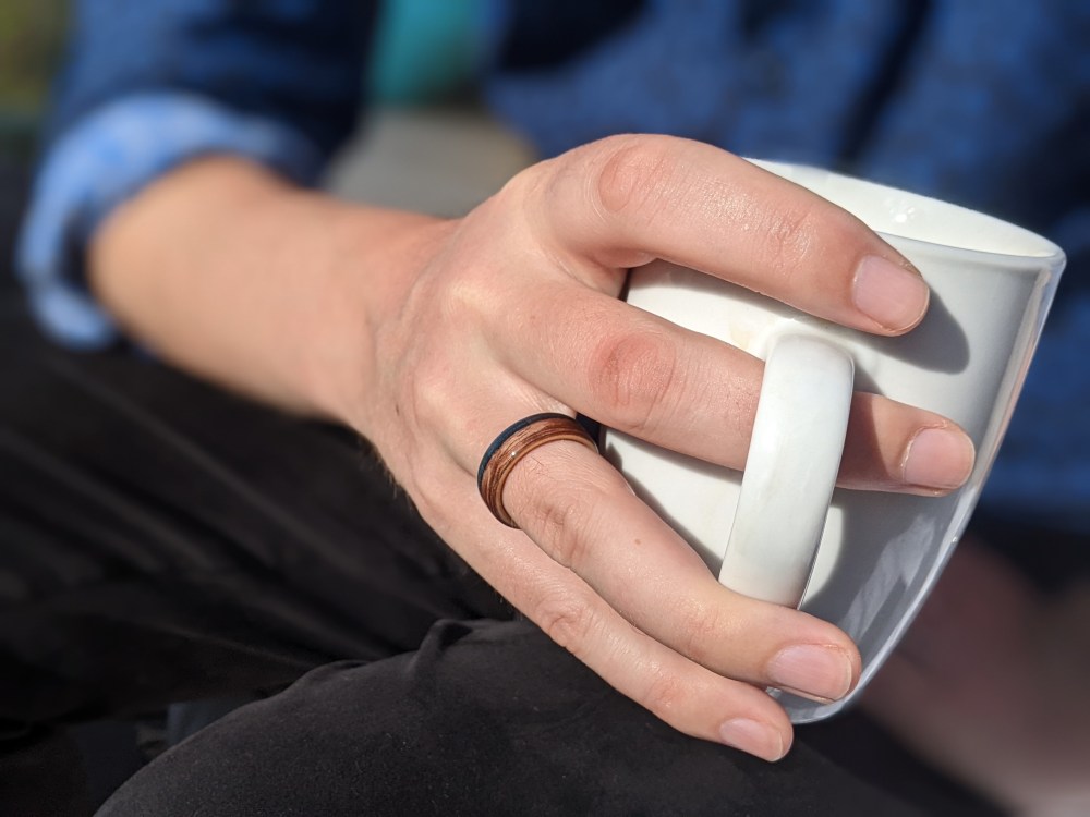
And James modelled his ring beautifully with tea…
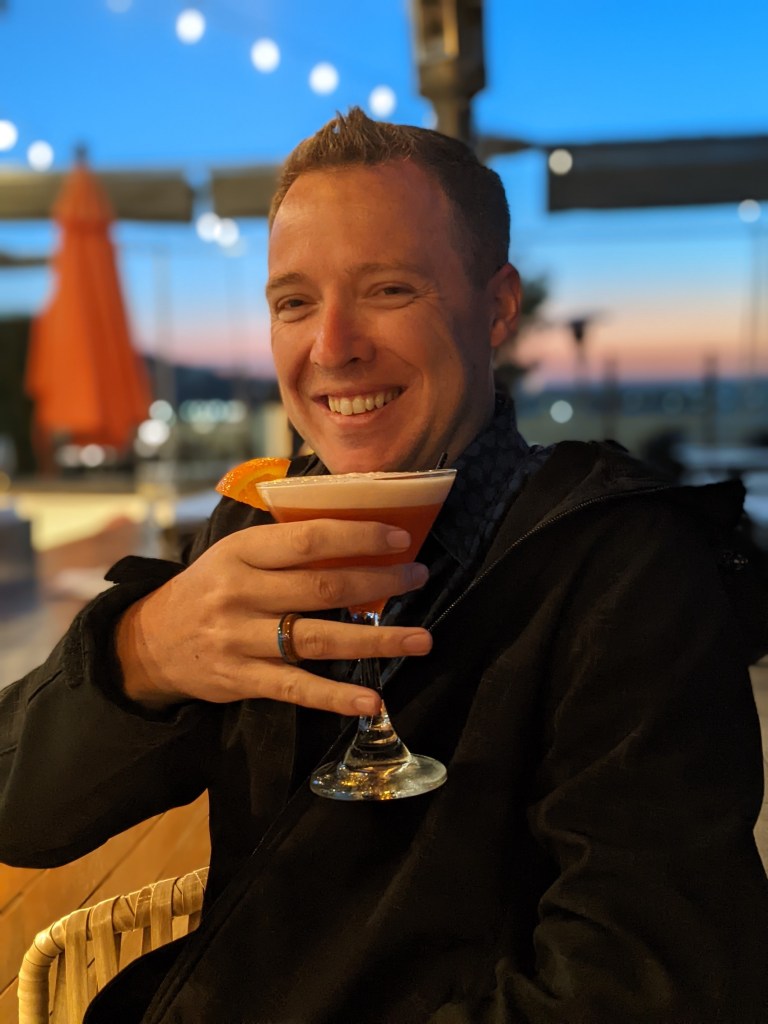
…and with a Paper Plane at the Glenmark, where the barman had first introduced me to them the year before, suggesting that they make a good follow-up to a negroni (which is true).
And to conclude, a closeup of the ring…
…and, more importantly, of the crisps it was hidden in.
Funny how LA hiking has woven itself so tightly into the fabric of our lives. Who’d have thought it, when I started this blog as a record of the mountains we were only beginning to fall in love with in 2017.

One thought on “Smith Mountain”