Distance: 9.5 miles (15.3 km)
Time: 4 hours plus stops
Elevation gain: around 1,200 feet (366 metres)
Difficulty: terrain-wise, moderate; navigation-wise, moderate/difficult; fitness-wise, easy
Drive: around 75 minutes from central San Diego or 90 minutes from La Jolla, depending on traffic; minimum 3 hours 10 minutes from Pasadena. If you’re approaching from the I8, take exit 89, for Ocotillo, and join the County Route S2 (Imperial Highway) north and then north-west for 7.2 miles to a dirt track marked with a hiking sign for the caves. (We drove back to Pasadena along the S2, via the 78 and the 79 skirting the western edge of the desert, and it was beautiful.)
We got lost, so please don’t treat this description as a set of instructions—at most, take it as inspiration to do better than we did, and to enjoy a little taste of the scenery you can expect. You can find Modern Hiker’s account (which we were trying to follow) here, or a much shorter approach to what seems to be a similar set of nearby wind caves on hikespeak, here.
We were in San Diego on a Friday for James to give a talk at UCSD, and decided to stay over and take the opportunity to do a Saturday hike a little further from home. We chose the Anza Borrego Desert, and struggled to find hiking suggestions that were neither 2-mile rambles along manicured trails nor 2-day ‘do not attempt this if you’re not an expert at desert navigation’ extravaganzas. In the end, Modern Hiker came up trumps again: he has 26 Anza Borrego options, and some of the ones in the middle of his list seemed to fit the bill.
We plumped for his ‘Domelands’ route, which was meant to be 7 miles (11 km) and 5 hours, and took lots of screenshots of the instructions on both phones to be sure of not losing them. After a La Jolla Vons trip for supplies, and a breakfast with optimistic seagulls, we set off on the 90-minute drive east.

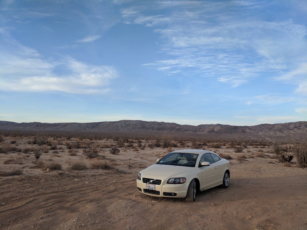
We’d hoped that Modern Hiker’s casual ‘High-clearance vehicle recommended’ for the approach (as distinct from his much sterner access warnings for other hikes) might mean our distinctly low-clearance convertible might be all right, but after 30 or so very slow metres along a rocky sandy track we decided it was stupid to carry on. So we parked by the main road and sucked up the 2ish extra miles each way. Of course once we started walking we realised that the first part had been the worst and the rest would probably have been manageable, but well, there was some slightly deeper sand at a couple of points, and the car was definitely happier staying where she was. We’d hoped to maybe hitch a lift up, since a few cars had passed while we were messing around at the bottom, but of course no one else did once we set off.
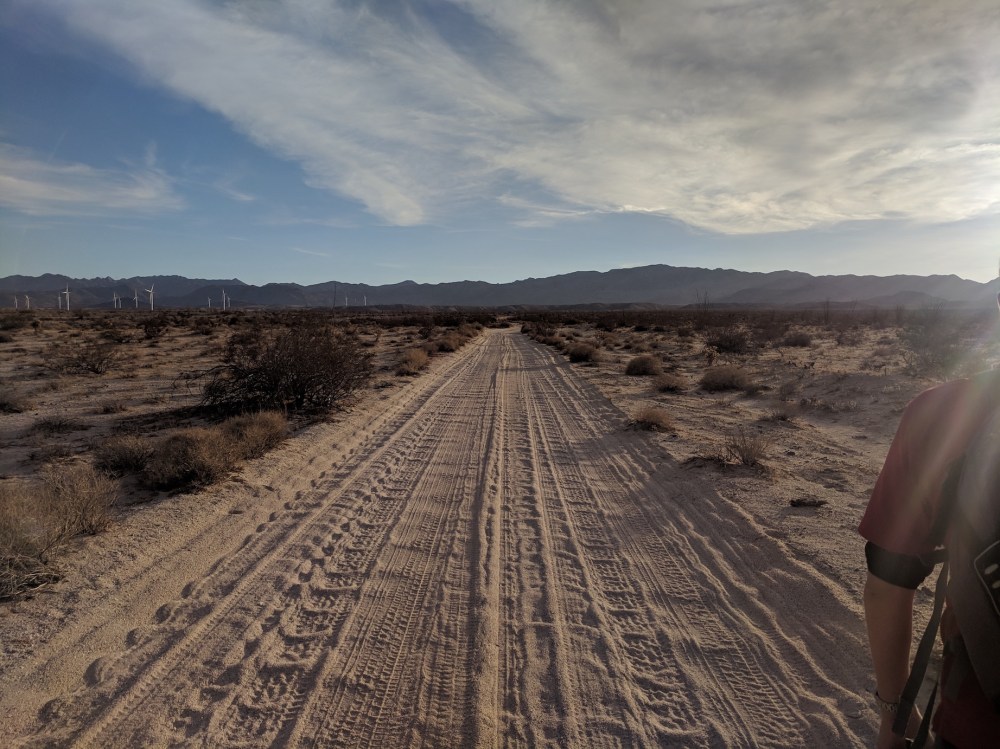
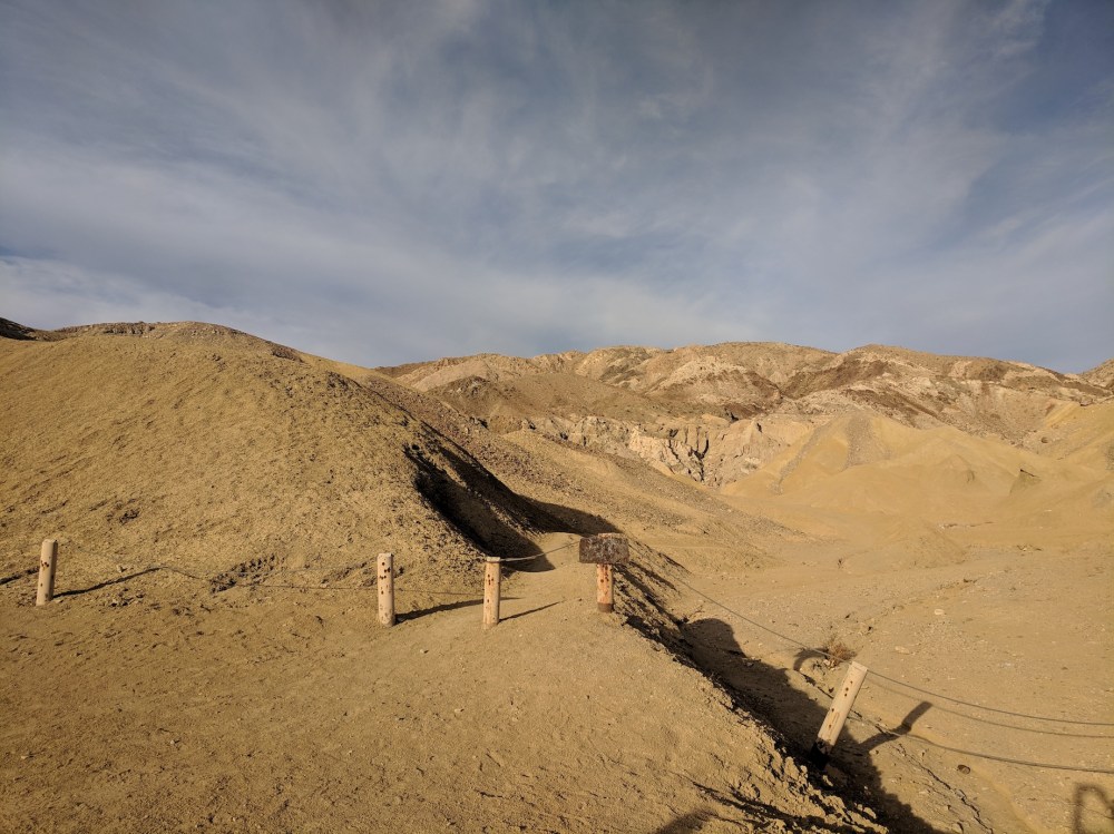
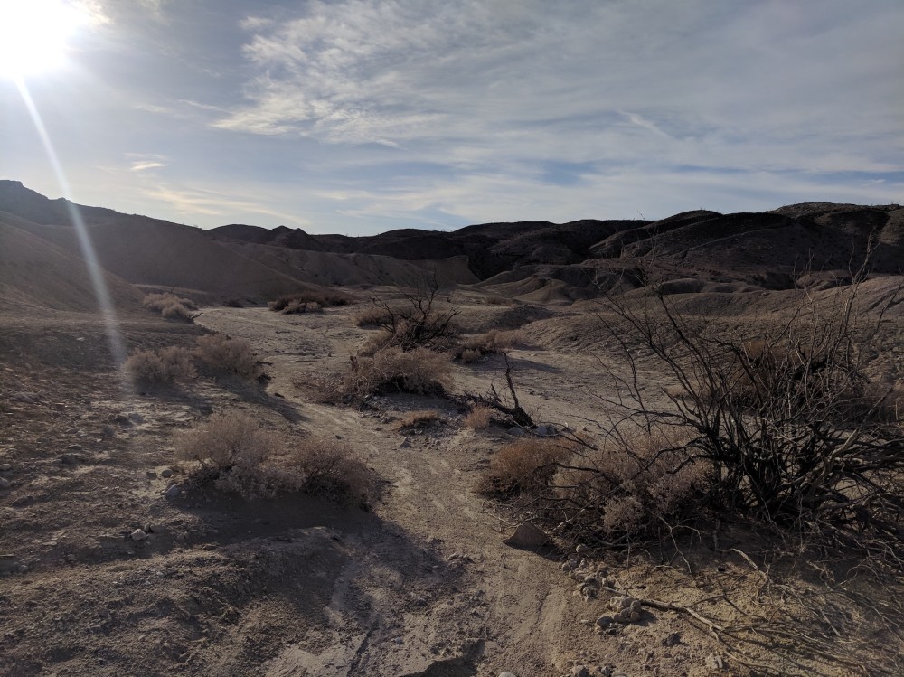
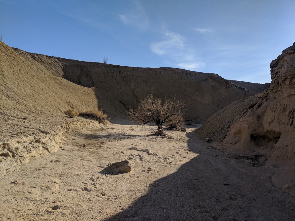
It turned out that the flurry of traffic activity up the track had been participants in two full-on rifle ranges, and one of them was kind enough to point us to the right starting point, along the continuation of the track that extends pretty much in a straight line north from the starting section, snaking in between hillocks till you get to the starting point for the wind caves trail proper:
(If the shadows are confusing: no, we didn’t set off in the mid-afternoon. Some of our pictures, including this one, were taken on the return leg, and lower sun makes for more atmospheric shots…)
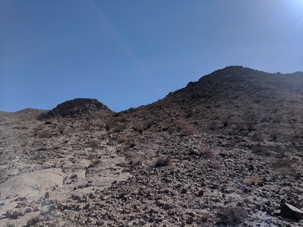
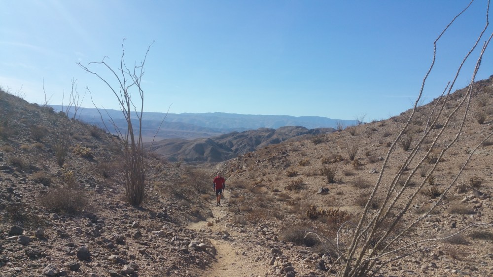
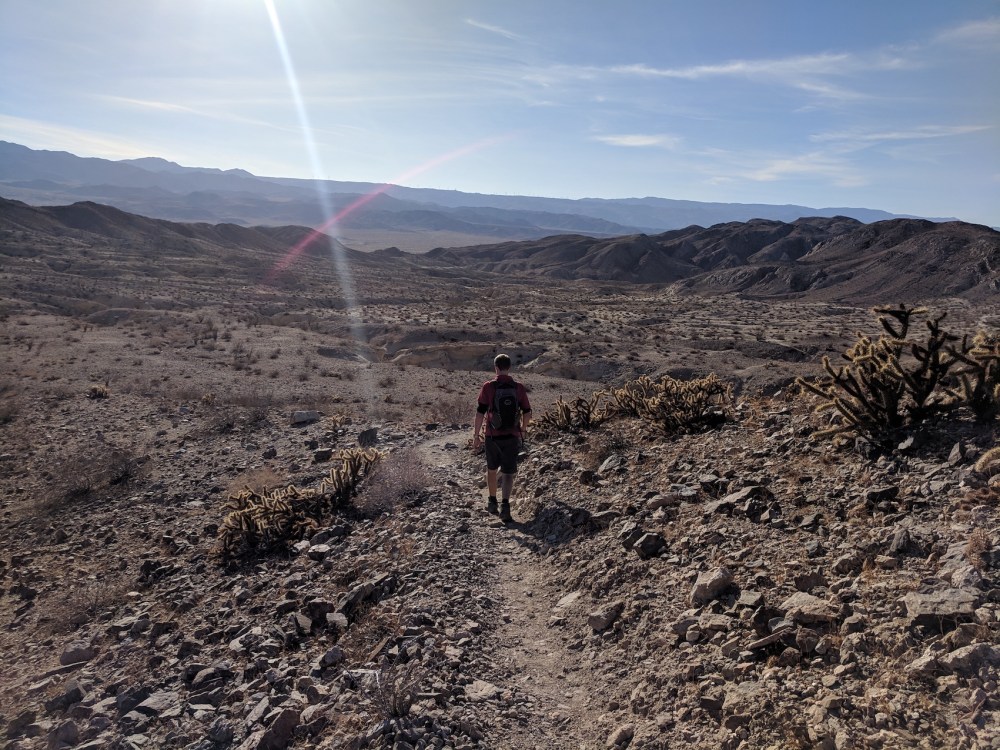
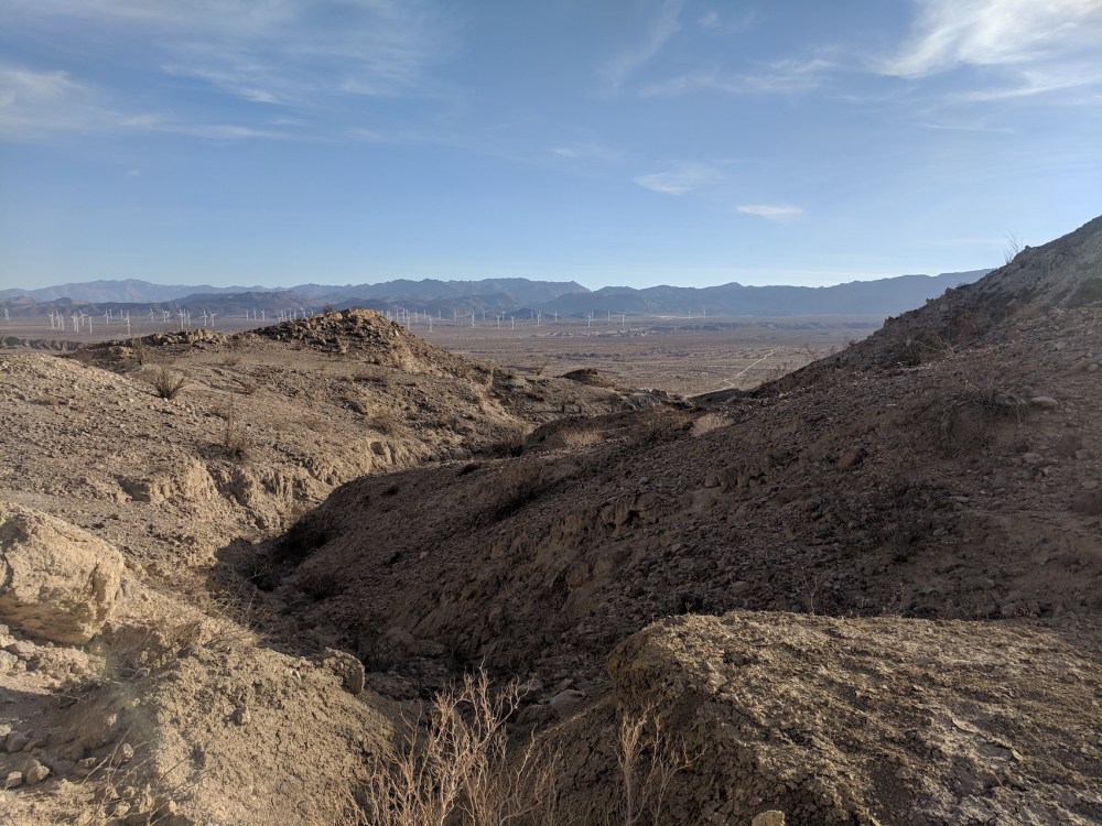
After passing through this gap the trail soon turns uphill and kinks north-west, so you have the plain and the wind farm behind you and higher land ahead:
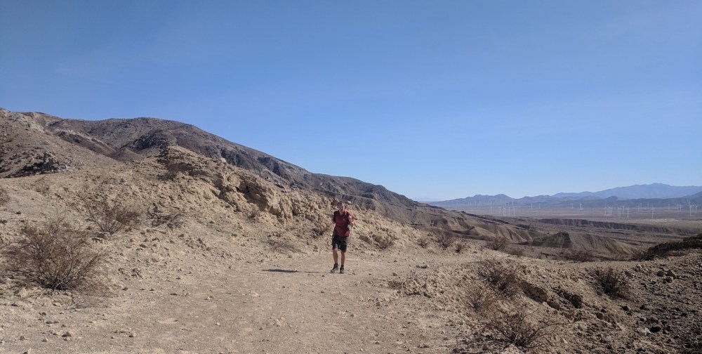

Soon after this we made our big navigational mistake: we were looking out for a wash that Modern Hiker said should be crossing from the right, thought we’d gone about the right distance and had found it, and turned up it and followed it happily for a mile or more before it started gradually narrowing into an impassable ravine. Which we obviously attempted to pass, and just about got out of in one piece.
So, with the knowledge of hindsight, this is the place where you should carry straight on rather than turning right. It’s just after the trail above passes over that little ridge and descends again.
Instead, follow the main wash straight ahead in a wider loop south-west before curving to the north-east.
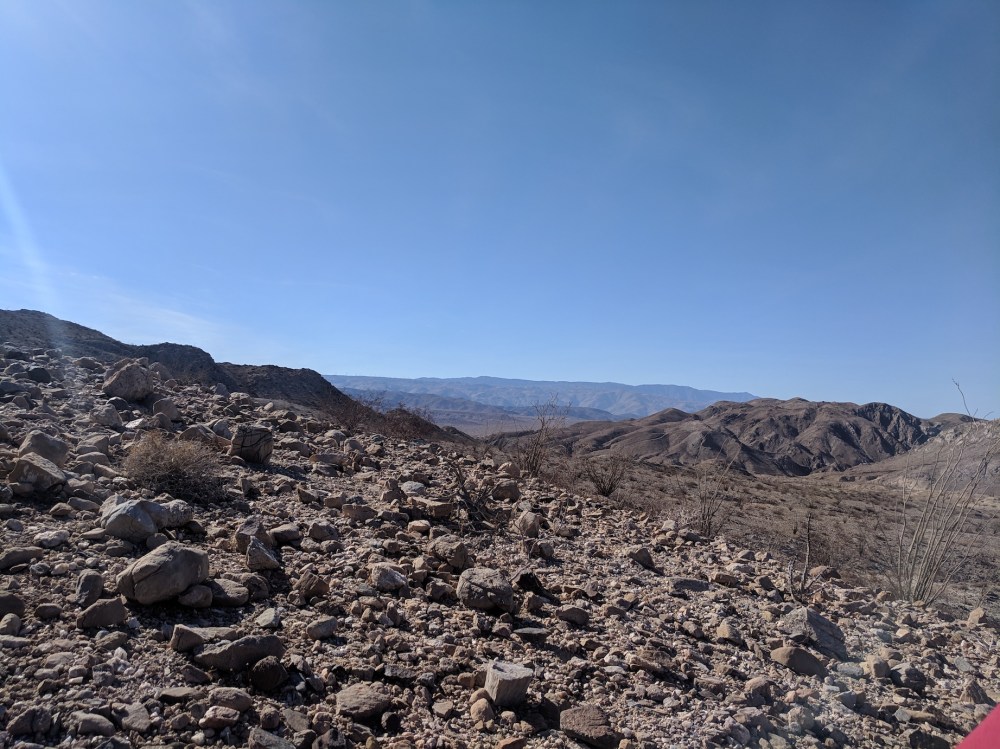
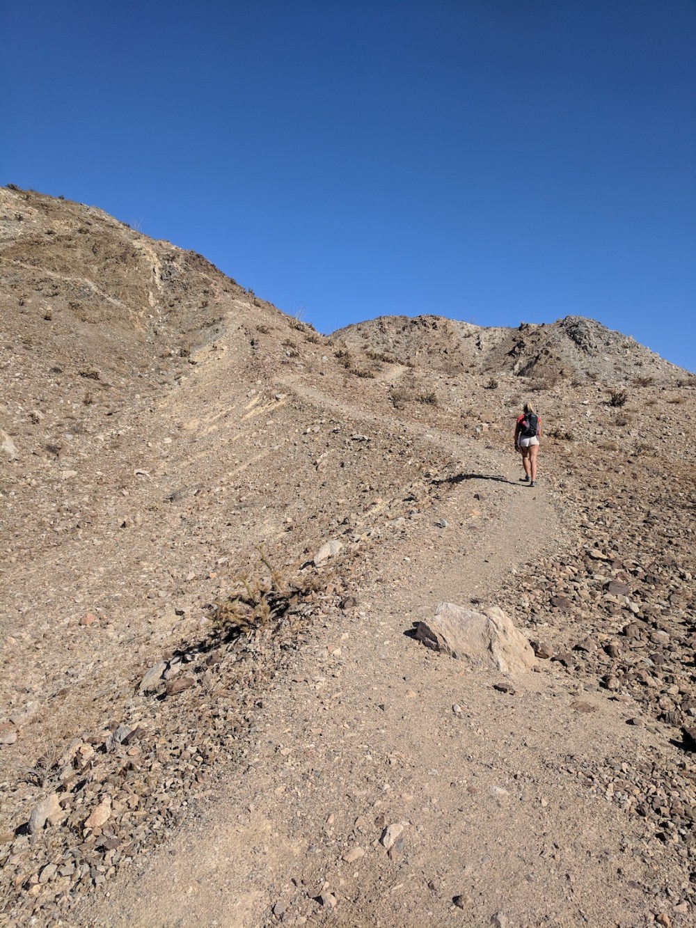
Once we’d found our way back out of the ravine, we clambered up to the higher ground to the east and worked our way towards the ridge in hope of better views and clarity about where next.
After I’d had a nasty fall on some very loose scree, luckily impaling my palm with only a few very tiny cactus shards, we stopped for a welcome bonics (lager and tonic: the world’s best hiking drink) with 360° views.
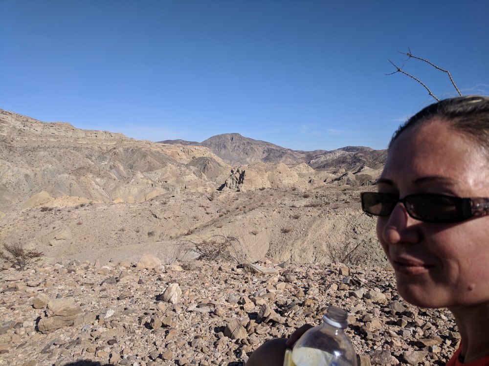
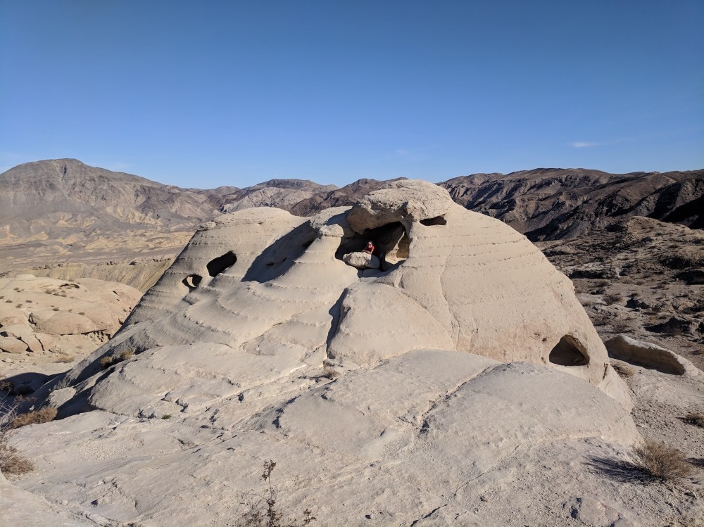
Happily, from our rest spot we could see a clear path rising diagonally up to our destination, the honeycomb sandstone domes to the north. The route to get there was a bit circuitous but easy enough, and finally we were back on a path that actually felt like a path. We still felt a bit like Frodo and Sam on Mount Doom, but less so.
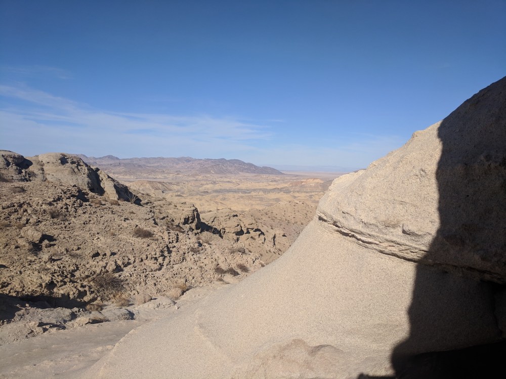
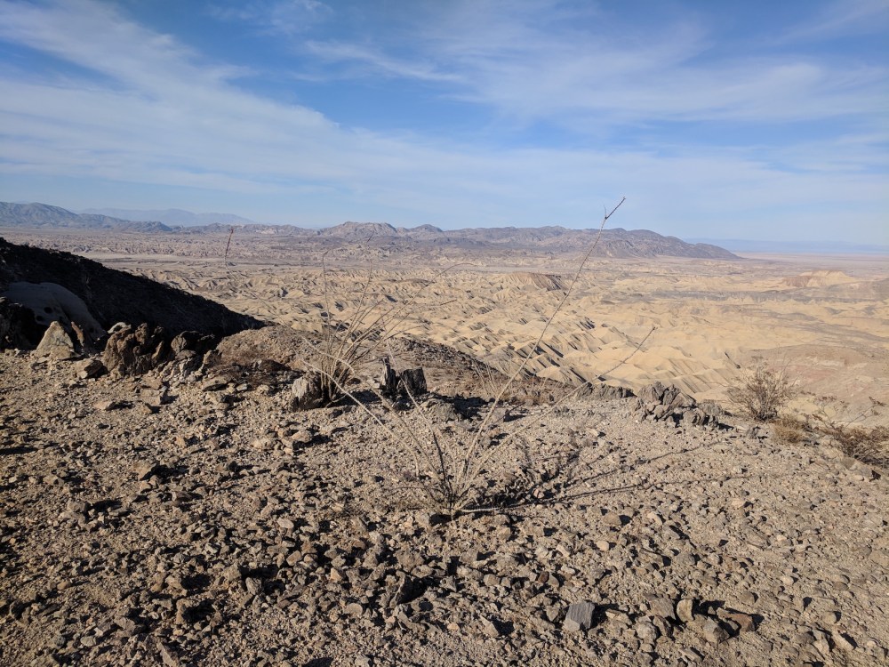
It was lovely coming over the top and seeing the strange ripples of the Carrizo Badlands opening up ahead of us, framed by the beginnings of the sculpted sandstone.
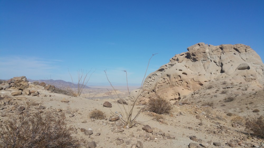
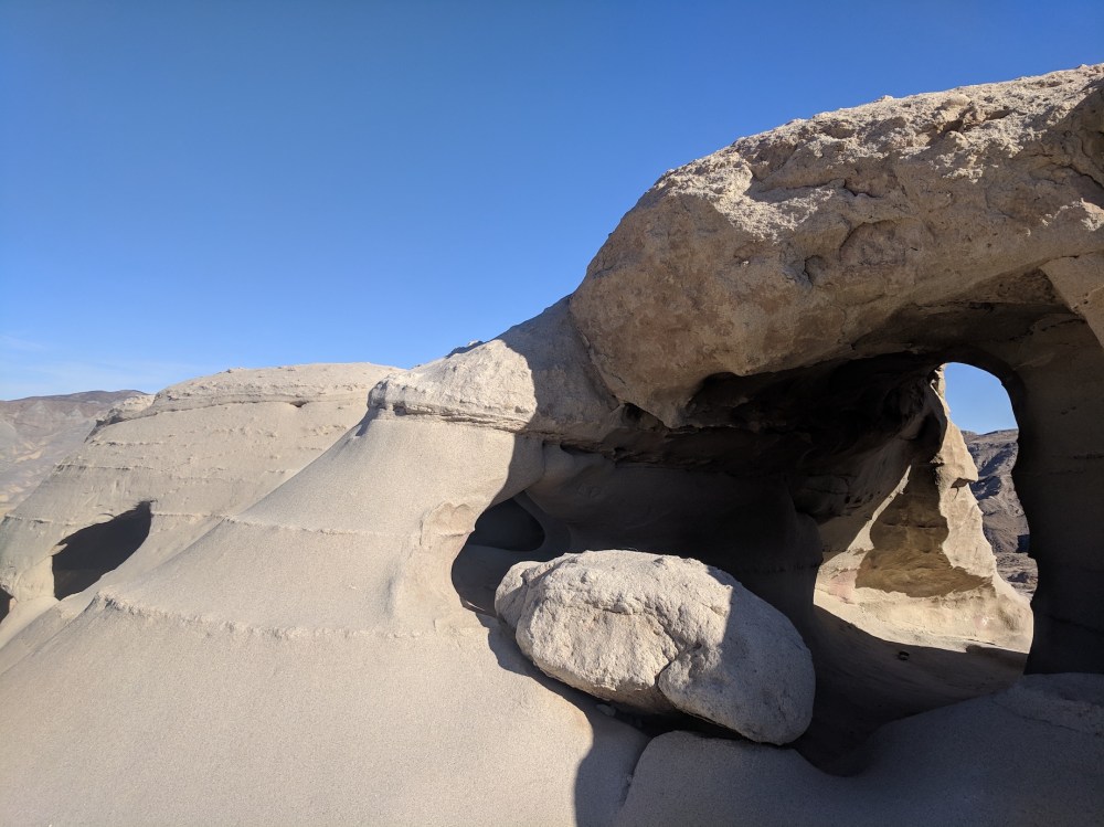
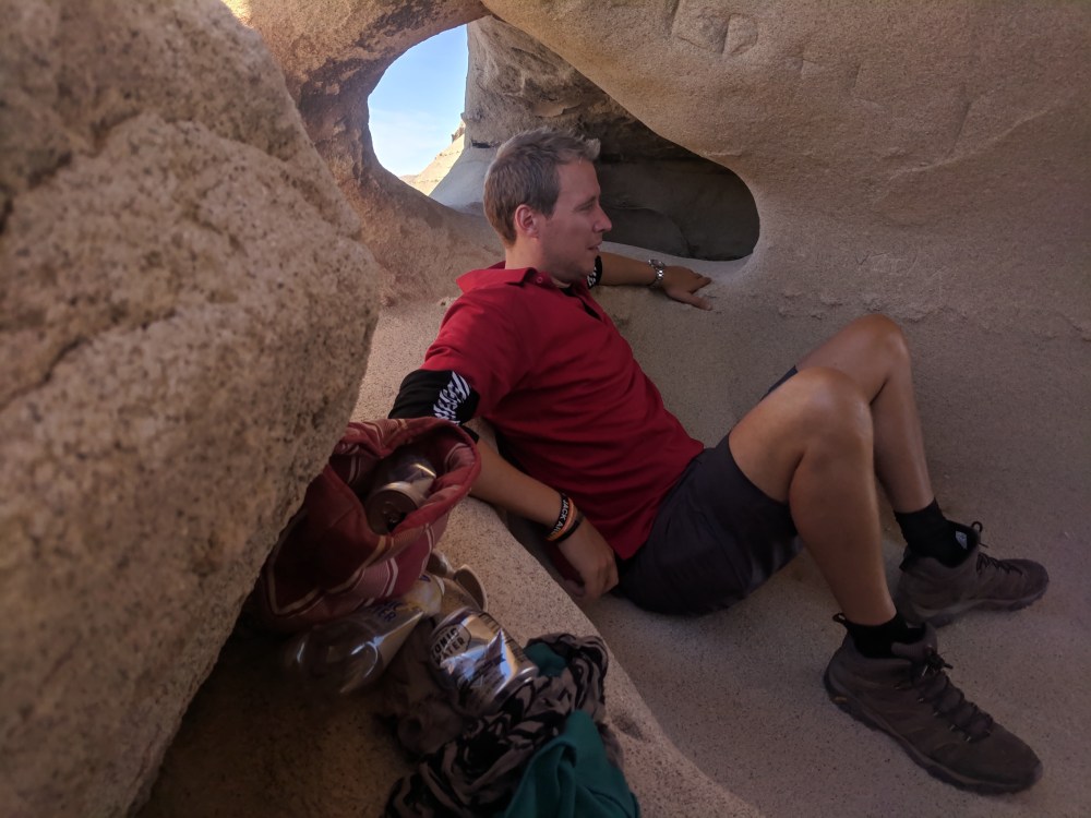
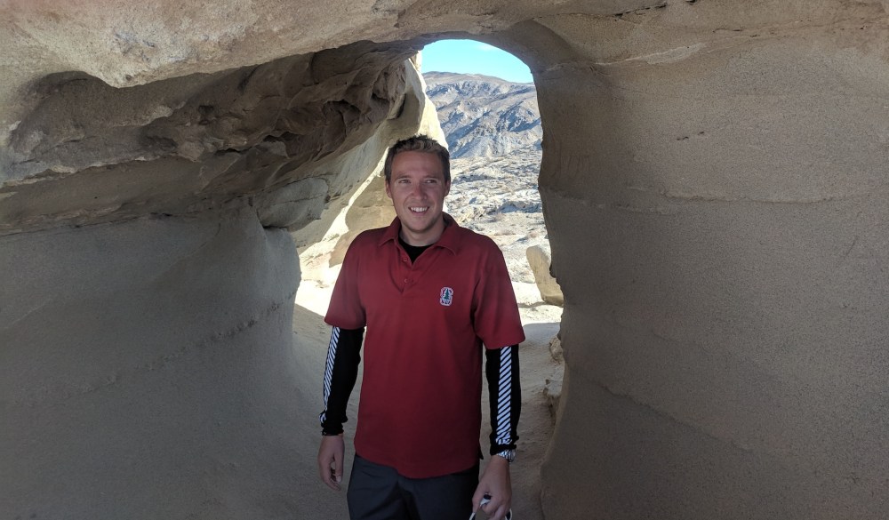
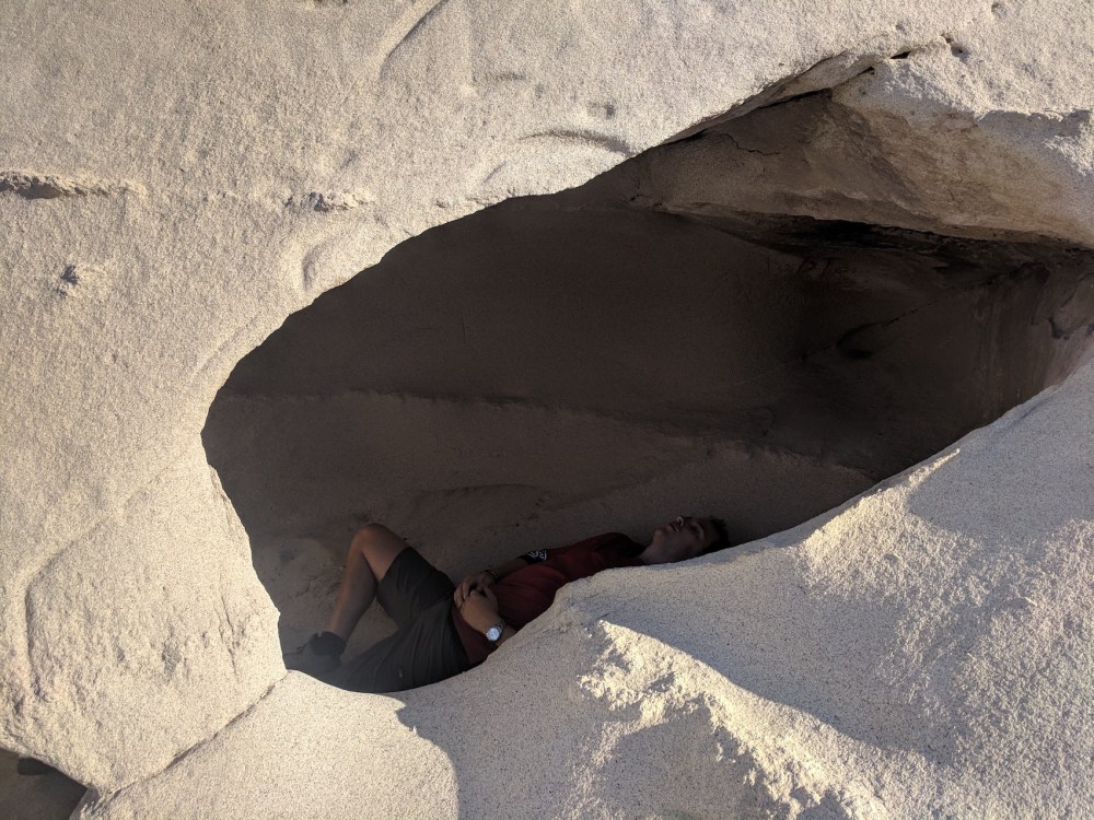
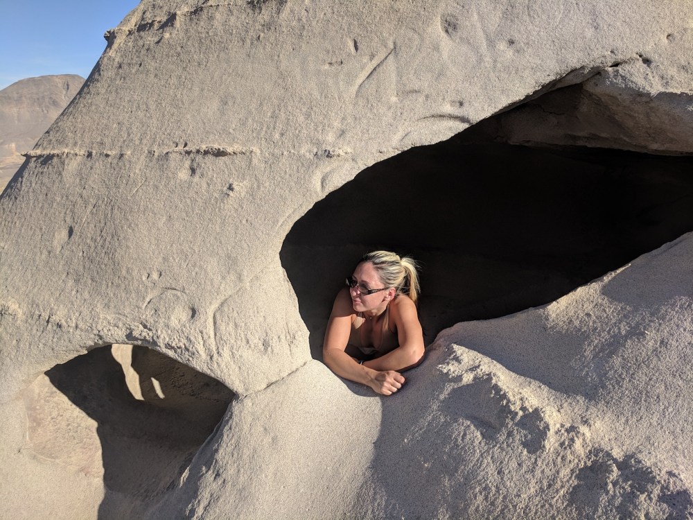
Then it was an easy meander east along the ridge to the most spectacular of the ancient wind-hollowed caves – perfect for a shady picnic or a cheeky nap.
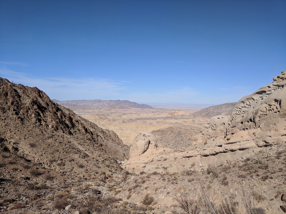
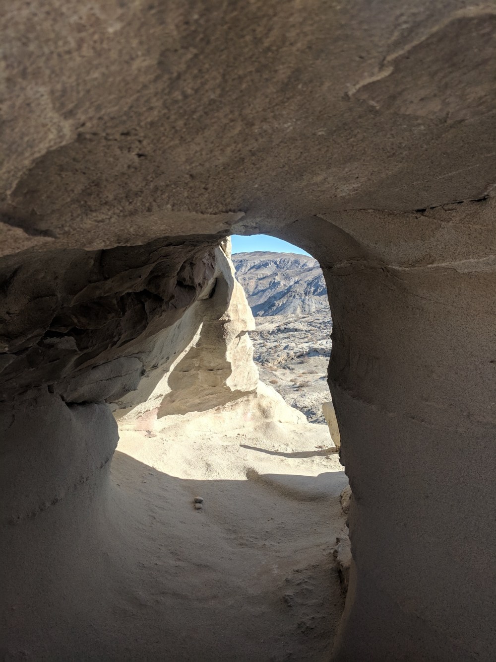
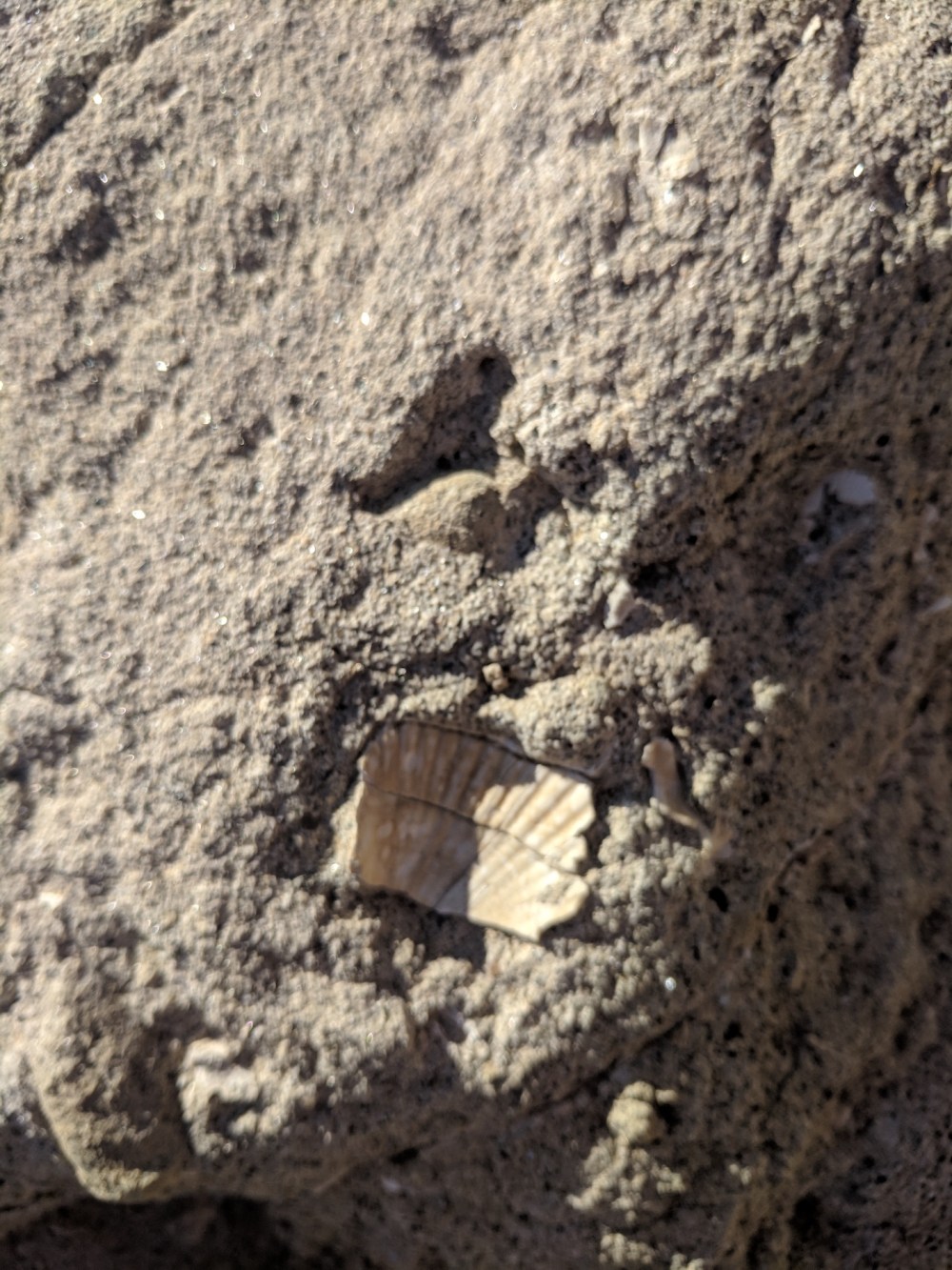
Once it was time to set off again, we gave up on trying to follow Modern Hiker’s loop route, and retraced our steps, marvelling at fossilised evidence that all this parched barrenness was once sea, at a last glimpse of the undulating sedimentary layers to the north, and then at how easy the proper path was to follow once you were actually on it.
And after surreally little time we were back to the wind-farm views across to the line of hills marking the Mexican border.
And, after a briefly enthusiastic jog along the final bit of track, the car that had been a glinting speck for ages was finally our sunset ride home.