Distance: 7.5 miles (12.1 km) round trip
Time: 3.5 hours incl. a 1-hour stop
Elevation gain: not sure
Difficulty: terrain-wise, difficult; (frequent short steep slopes on loose ground); navigation-wise, easy; fitness-wise, moderate
Drive: 30 minutes (32 miles) from Pasadena old town, west on the 210 and north on the 14 to Placerita Canyon Nature Center
Rattlers seen: 1 (on the narrow path south from the saddle)
Pasadena had (unusually) been under heavy clouds for a week so we wanted to go somewhere with the chance of sun. The north west corner of the San Gabriels seemed like a good bet. We’d planned to follow Walker Ranch Trail (on Trails of the Angeles hike no. 5), but due to fires last year many of the trails in this area are still closed (plus Walker Ranch has presumably been renamed, possibly to Canyon trail, since we found no trace of it on any of the signs). Instead we opted for a makeshift hike that started off by heading up the Mount Manzanita Trail. The trail is well signposted and starts immediately after crossing the now dried-up river which borders the car park to the south. The trail is initially quite steep but well maintained. After a few hundred yards you pass a water tower with a signpost for Hillside Trail (off to the west) and Manzanita Mountain with options to go both west and east of the tower. We took the east option. About half a mile (and 20 minutes) later we arrived at the top of the ‘mountain’. Really it was just a small hill, but it had a nice view of Santa Clarita and from it we could see the facades of buildings forming a small town square – the Golden Oak Ranch film lot now run by Disney and ABC.
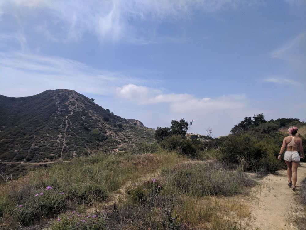
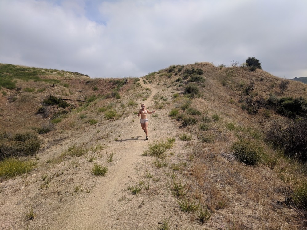
We came back down from the tiny Manzanita summit and headed south for a few minutes on a connecting path to a high ridge trail that leads east and then bends south, climbing up towards Wilson saddle.

The ridge is fairly up and down, and very steep with loose sand and stones in places (most other people seemed to be using poles): the rhythm of short steep uphill followed by a bit of flat and/or downhill made for quite nice interval training style exertions.

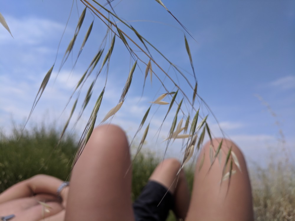
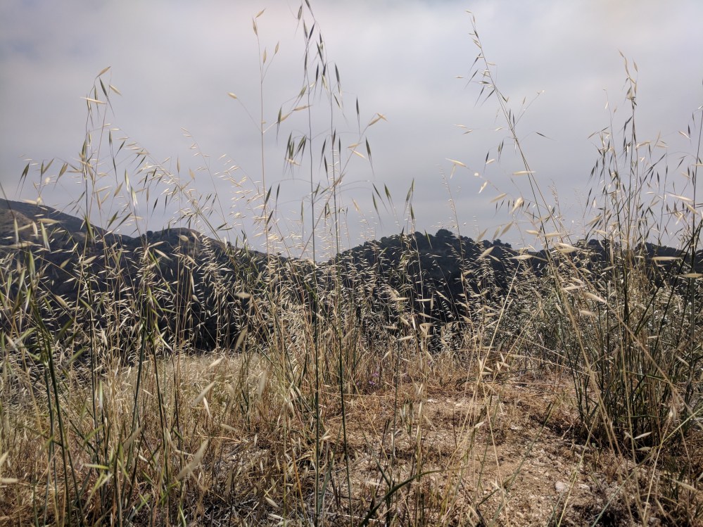
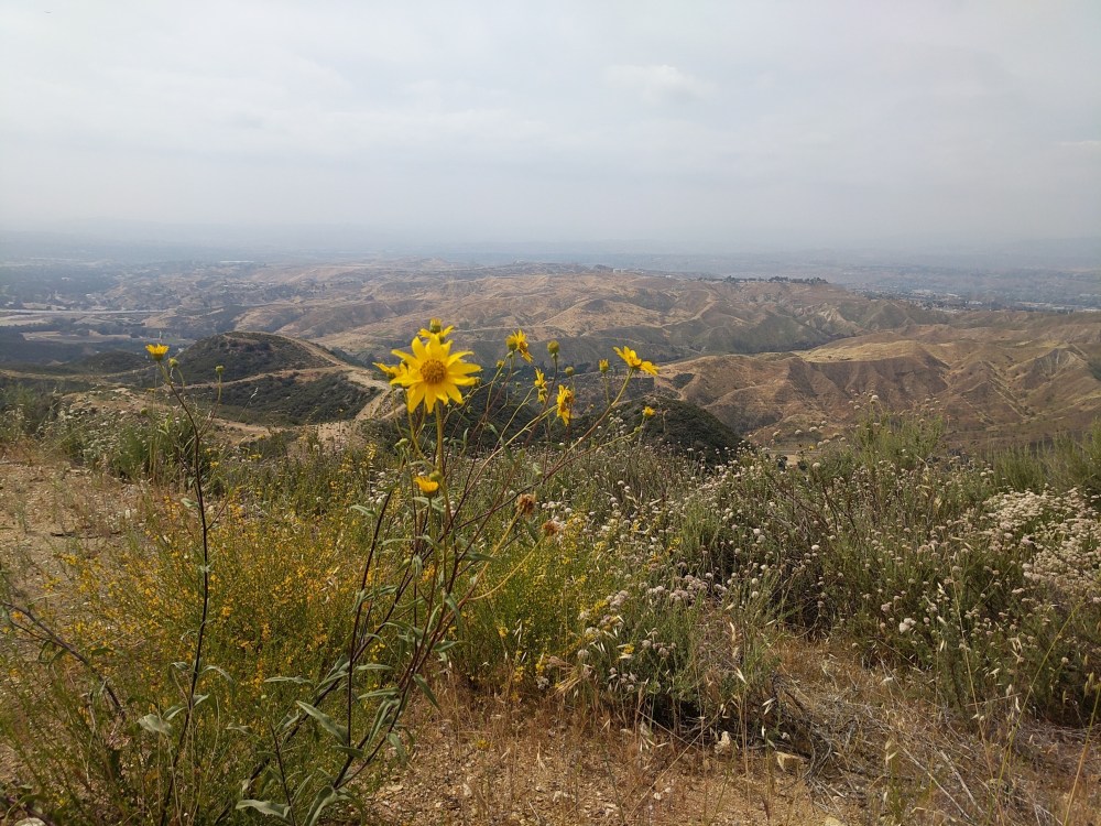
After about 1 hour 15 minutes we found a beautiful picnic spot at the easternmost point of the trail, continuing to the top of a mini peak that the main path skirted to the west of, and spent an hour sunbathing in a nest of nodding grasses.
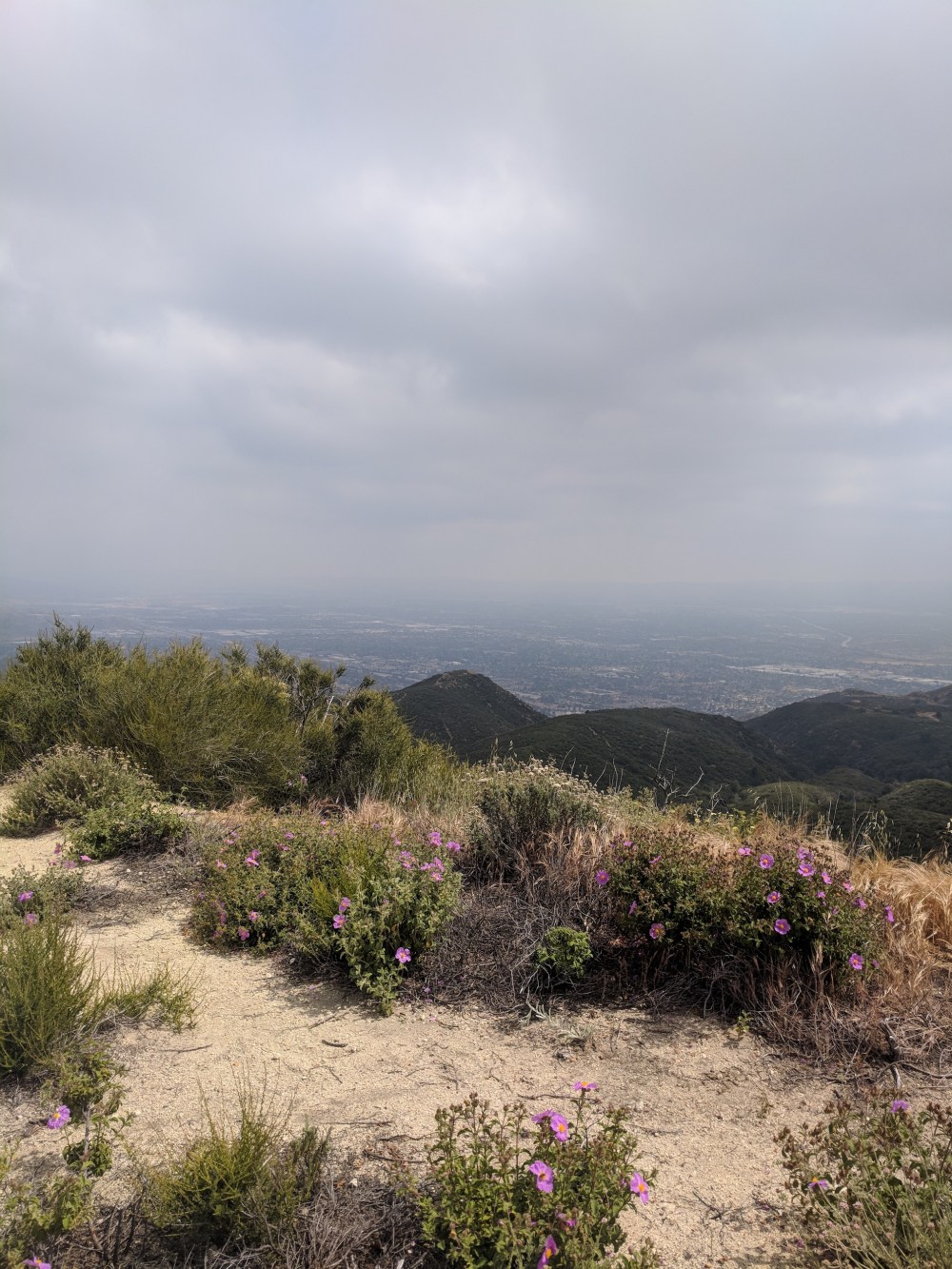
Then we carried on for a few more minutes to where the ridge trail meets the fire road to Wilson saddle, headed east on the fire road for another few minutes, and took a small path off from the south corner of the saddle, following it a little way to a good lookout point across the valley to the south. We felt quite gratified that the clouds clinging to the high ridge still extended right across the valley: Pasadena still gloomy.
Turning back towards the sun, from the saddle the start of a little path called Placerita Creek trail looked inviting, but presumably headed straight into the closed-off section, so we retraced our steps (skipping the Manzanita mini summit). And it was lots of fun running down as much of it as we dared, with wide views to either side.
It only took an hour back to the car, via a stop-off at the nature centre, where a hawk, a vulture, and a raven were being given their rat-based dinners.
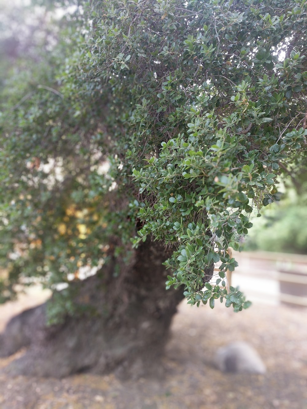
The last excitement of the day was a little stroll to the Oak of the Golden Dream, where in 1842 a mineralogist supposedly took a nap, dreamt of gold, woke up, started digging up onions with bits of gold clinging to them, and became the first prospector of the great Gold Rush. The disability-friendly approach to the tree is complete with murals and a bronze relief of the tree itself – lovely to explore with your hands whether you’re sighted or not.

One thought on “Placerita Canyon to Wilson Saddle”