Distance: around 4.5 miles (7.2 km)?
Time: didn’t record this either, sorry, but about 1hr15 to the radio mast and another hour to halfway through our picnic! Probably 3ish hours in total
Elevation gain: 1,275 feet (398 metres)
Difficulty: fitness-wise, difficult; terrain-wise, moderate; navigation-wise, easy
Drive: 20-25 minutes (13 miles) from Pasadena old town to Wildwood Canyon Trailhead
There are helpful descriptions of the first section courtesy of Modern Hiker here and hikespeak here
Rattlers seen: 1 (on the steep ascent to the ridge)
We did this hike hot on the heels of a Tahoe ski trip, and after -15°C and lots of sliding fast downhill in the best snow for decades, toiling uphill in the high-20s midday sun was a shock to many systems. We were staying with our friend Simon in Burbank, so walked from his front door, but you can park by the Wildwood Canyon trailhead at the junction of Canyon Drive and Harvard Road if you’re not local.
The trail starts on Canyon Drive by a picnic bench with some trail-info signs. It climbs steeply right from the off, with hairpins and steps to start with, and views of Burbank, North Hollywood, and Griffith Park opening up quick enough to make the incline feel worth it. After half a mile (0.8 km) you join the Vital Link Trail, which goes right up to the backbone of the Verdugo Mountains. The rest of the ascent is then a mixture of hairpins and straight-up, with some optional detours up various grassy knolls either side of the main path if you want extra views and extra leg challenges, and a brief pause at a plateau with another picnic table.
Then the path gets a bit more engineered, with steps and railings built in to help the brutal south-facing gradient feel more manageable (and stop you cutting the corners). Finally, after 1.5 miles (2.4 km), you get to the top of the hill and the inviting memorial chair, and then you turn right (east) towards the plucky little (not so little) tree nestled in the lee of the radio mast (it’s fun spotting the tree from the car when passing on the 5 once you’ve been up here), where there’s a handy log for admiring the downtown views from.
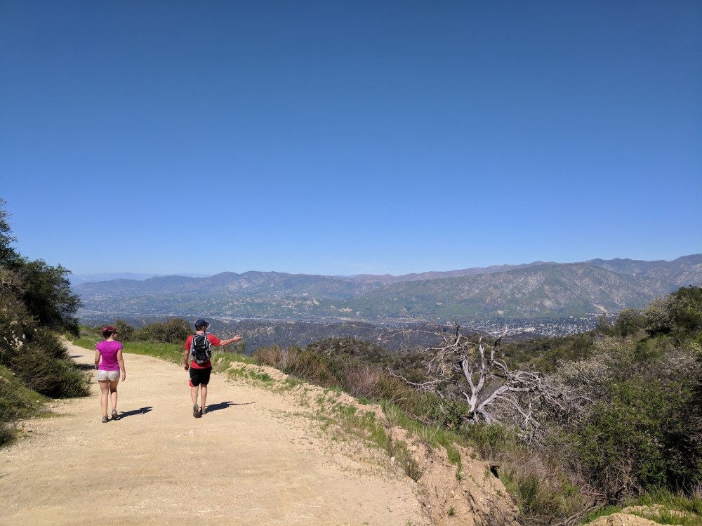
Then you could carry on east towards Verdugo Peak, but we retraced our steps, meandering west along the Verdugo Motorway fire road just below the backbone with pretty northerly views. We found a little offshoot path to have a picnic on, and about 1.5 miles from the radio mast you come to the junction with the Stough Canyon fire road, which is 1 mile of gentle downhill to DeBell golf course, where for the first time ever we dared order our special hiking drink bonics (2/3 lager, 1/3 tonic) at an actual establishment. It was gone very quickly.
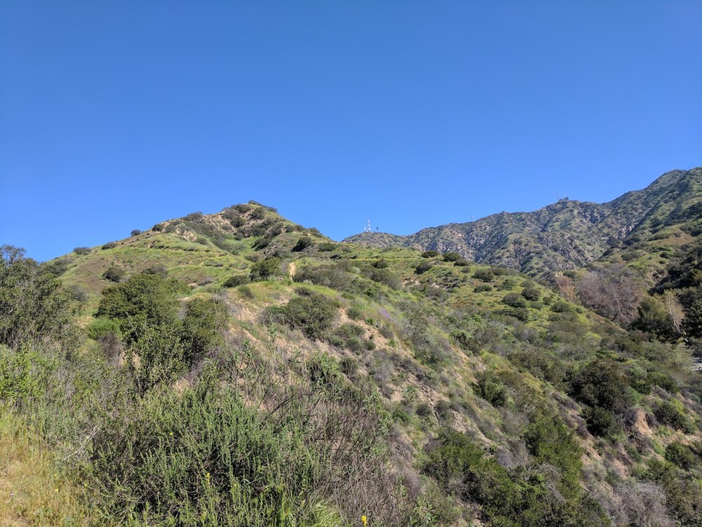
First glimpse of the radio mast.
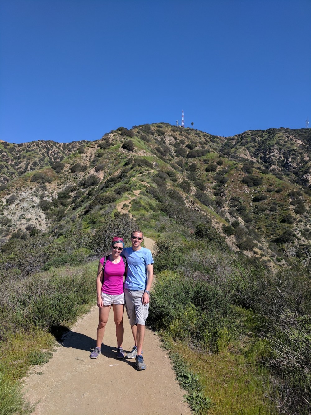
35 minutes later, a little bit closer.
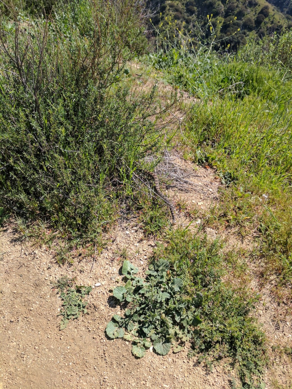
A rattler disturbed in its enjoyment of the spring heat.
A breather at the plateau.
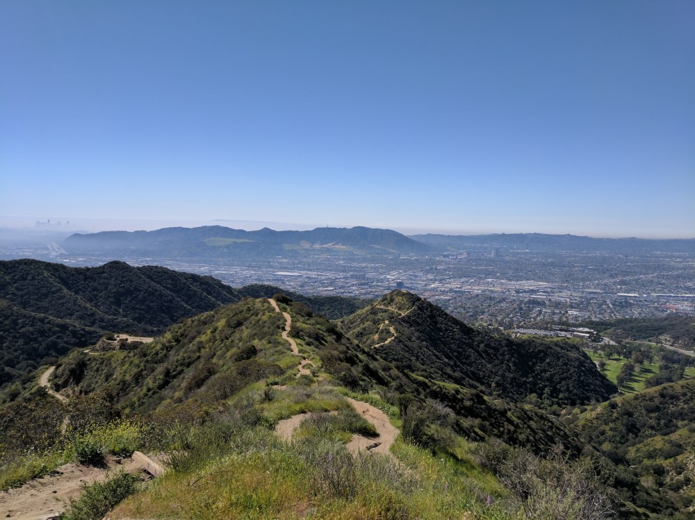
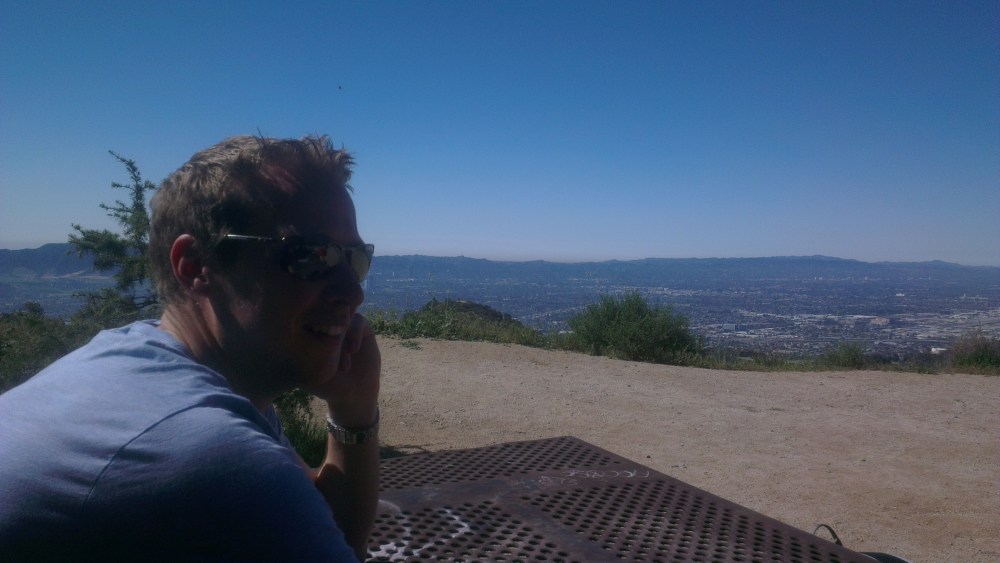
Burbank, North Hollywood, Griffith Park, and DTLA in the mist.
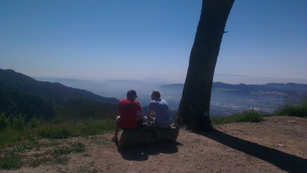
The log beneath the tree!
Meandering on the north side.
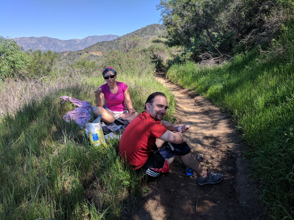
And picnicking on the north side.
