Distance: 8.6 miles (13.8 km) there and back
Time: about 4.5 hours including lunch
Elevation gain: minimal
Difficulty: terrain-wise, easy; navigation-wise, easy; fitness-wise, easy (depending on the heat!)
Drive: about 2.5 hours (135 miles) from old town Pasadena, east on the 210, the 10, and the 62, and then a right turn at Joshua Tree onto Park Blvd for the final 12 miles to Boy Scout trailhead
Rattlers spotted: zero
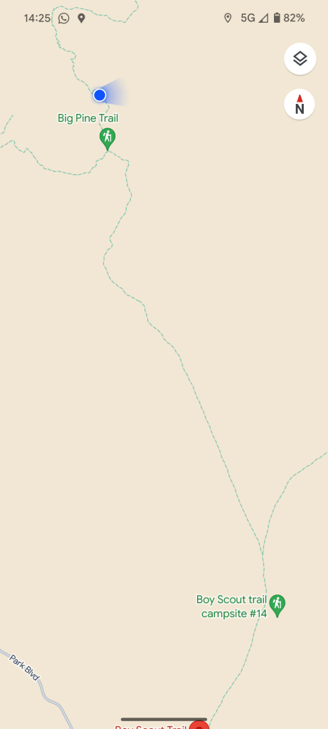
Our very first time in Joshua Tree, we hiked to Lost Palms Oasis from Cottonwood visitor center near the southeastern entrance to the park. The next 6 or 7 times after that, we always came to Boy Scout trailhead, 6.5 miles from the park’s western Joshua Tree entrance. We did the Willow Hole route several times with a variety of companions.
Then in April 2024, I stayed overnight near the park for the first time, with my mother Sue and stepfather Adam en route from a conference in Tucson back to LA. Leaving my stepfather Adam to enjoy photographing cacti and Joshua trees at a more leisurely pace, Sue and I struck off and used our agreed-upon hour to get a little way along the Boy Scout trail, which I’d never tried before.
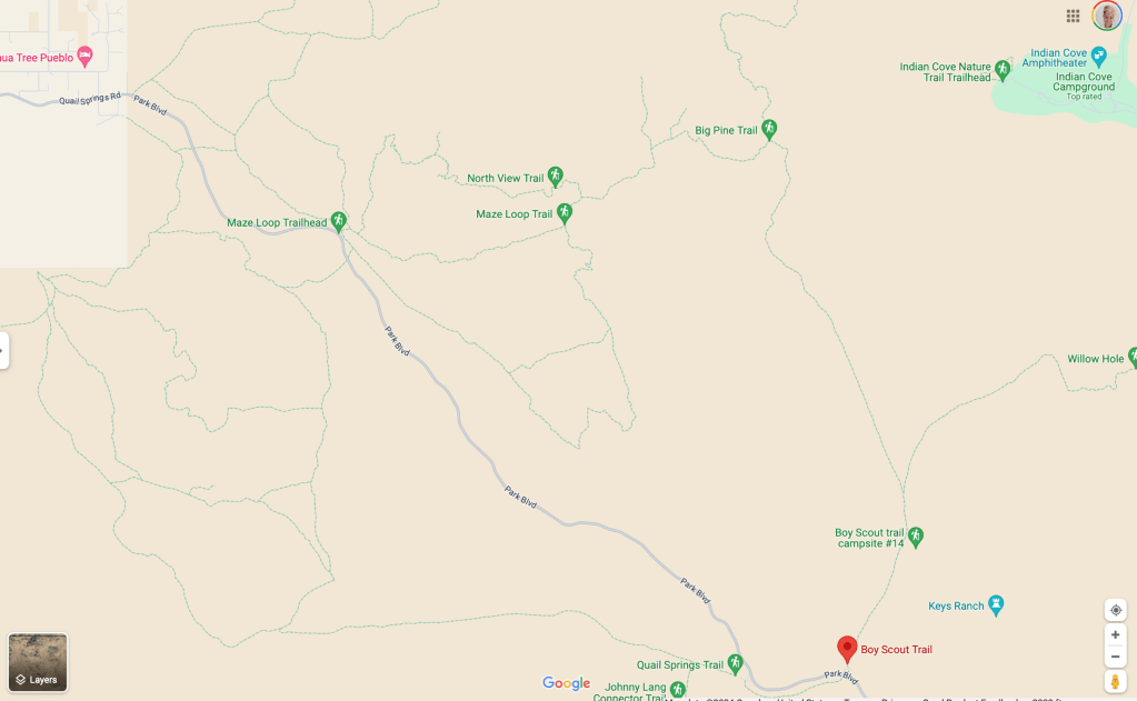
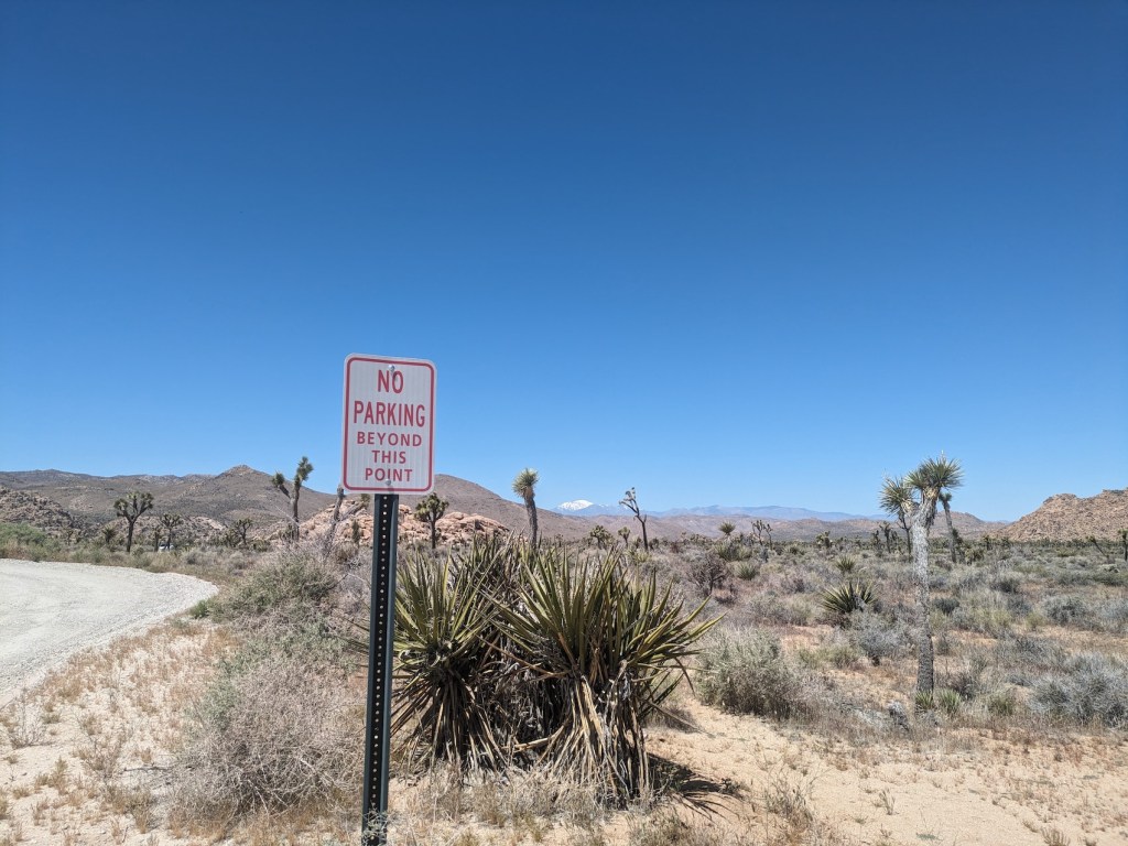
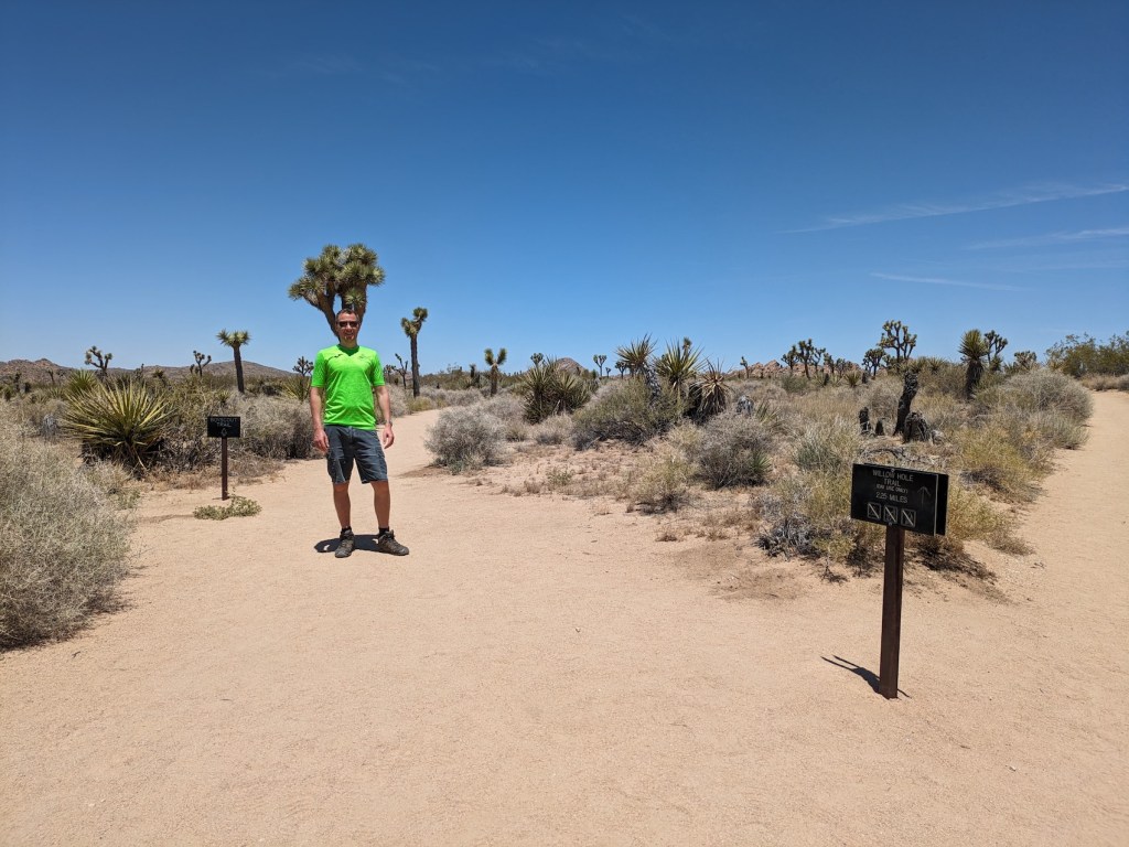
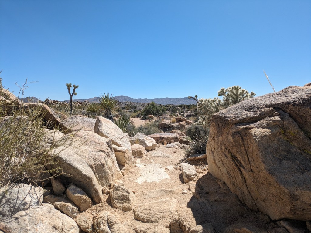
You head off along the main trail from the car park as for the Willow Hole hike, keeping right where the misleading sign for the rock climbing area points you left. When you get to the fork where the Willow Hole trail goes right and the Boy Scout trail goes left, keep left.
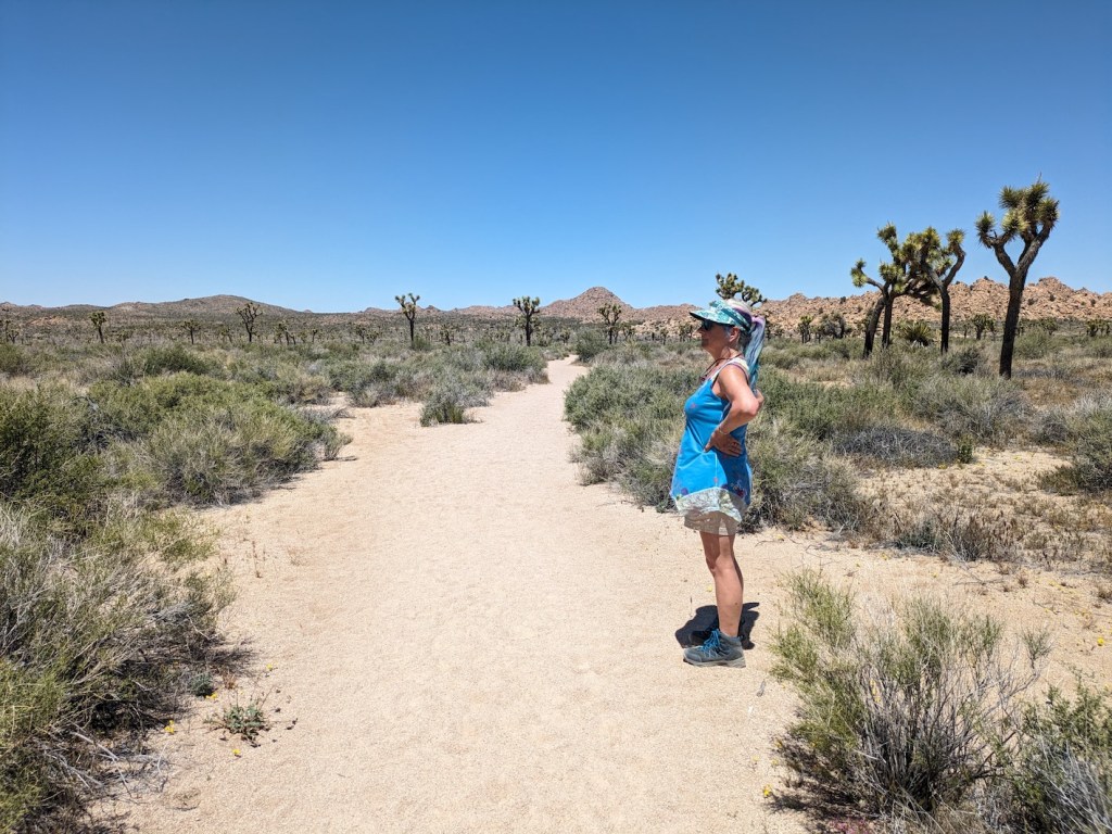
This first time, we didn’t get very far along it, but the trail is dead scenic right from the car.
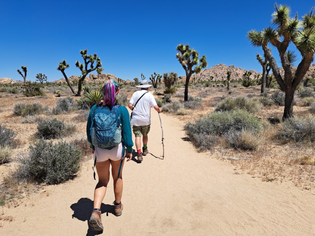

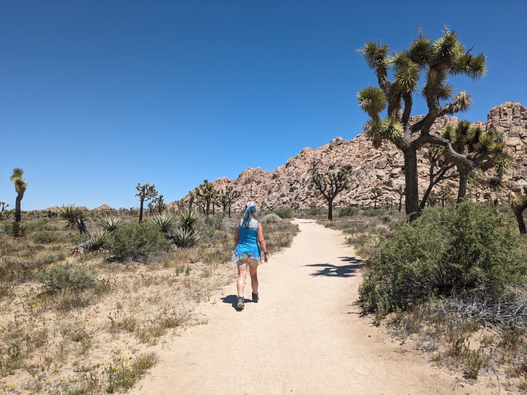
Still on the first bit of trail pre-junction.
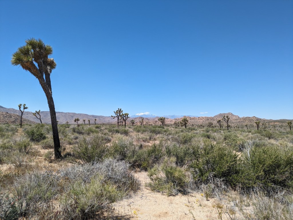
Admiring snowy Gorgonio from near where we turned back.
Stopping for a chat.
Such fetching views even back at the car.
Then, returning to JT for a 3-night stay with James the following month, we decided to revisit the Boy Scout trail and see more of it.
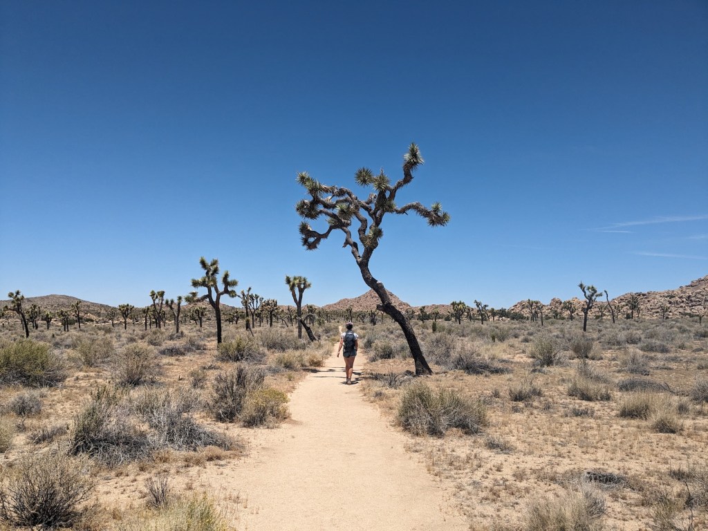
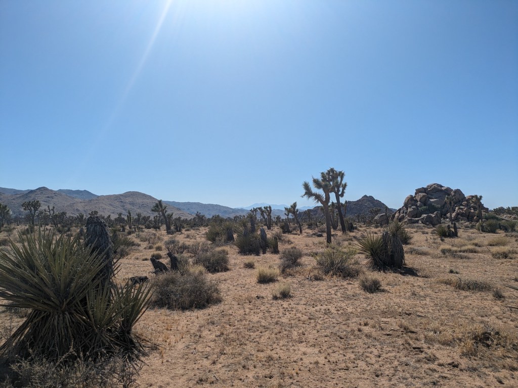
As you head north from the junction with the Willow Hole trail, this route takes you through a beautiful wide undulating expanse of Joshua trees with Mount Gorgonio off to the west, still properly snow-capped for us in late May. A little over an hour from the trailhead, and soon after the path meanders into a wash, you reach the junction with Big Pine trail (we stopped here for some invigorating hardboiled eggs). Another 10 minutes or so of wash and the views open out again to the distant plains to the north. A few minutes after this, we found a nice rocky perch above the trail to eat (and drink!) the rest of our picnic before retracing our steps.
The whole thing took us a little over 4.5 hours including a half-hour lunch and some smaller breaks, and in late May it was still just about cool enough to do it in the height of the afternoon heat (12 to 4:30 pm). The trails are very well maintained and there’s only a short patch of deeper more tiring sand through the wash near where we stopped.
Here’s x marks the spot for the pretty picnic place.
Here’s where to keep left at the junction.
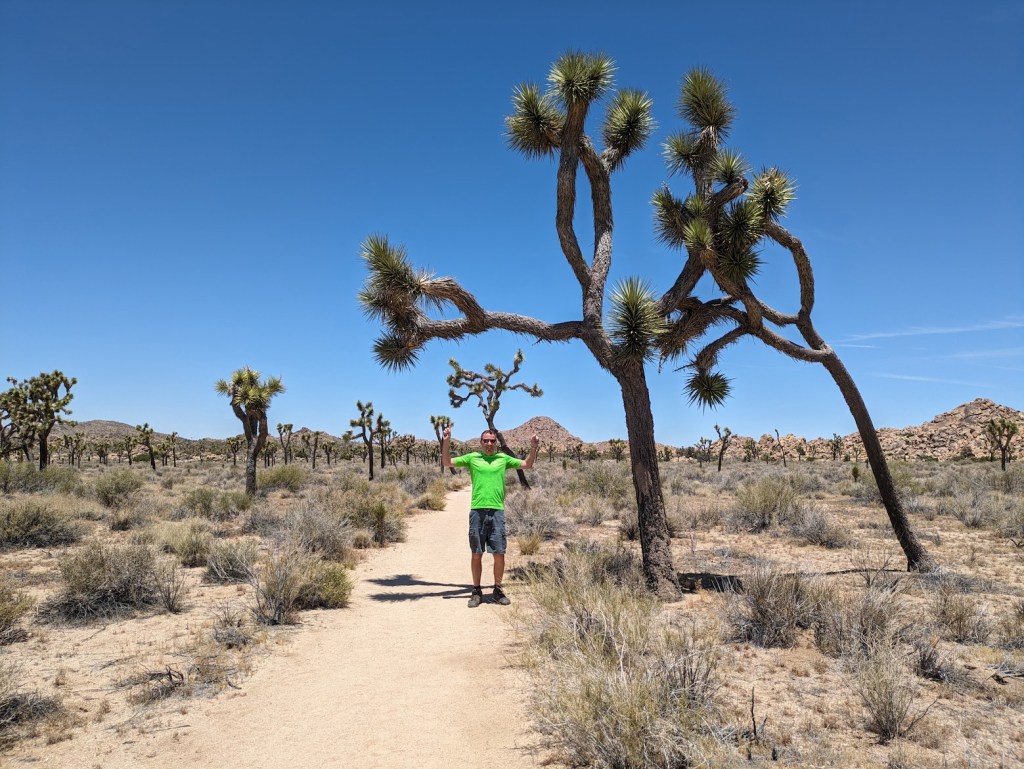
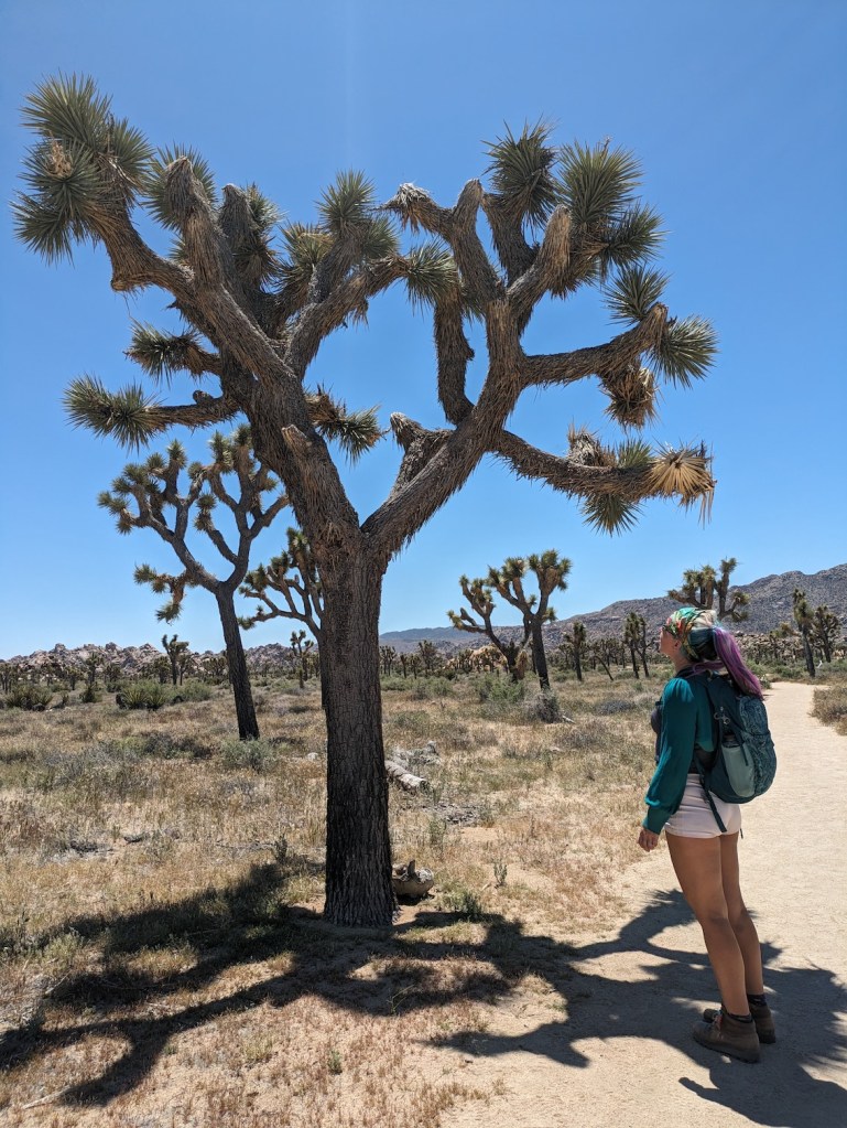
Nothing beats a Joshua tree.

Half an hour from the trail junction.
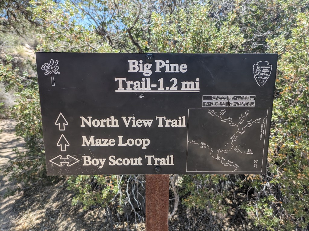
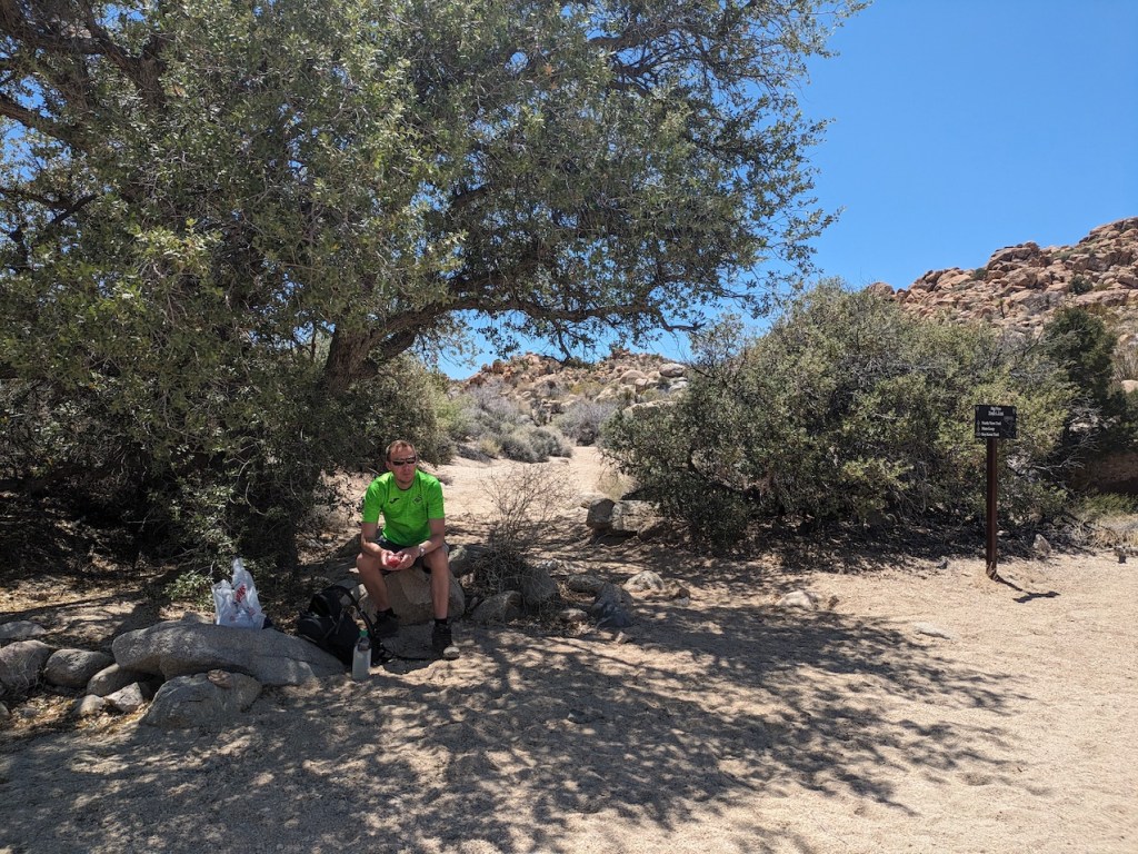
Useful sign for orientation and tree for shaded egg-eating. (We did the Maze loop later in our stay; I’ll post separately on that.)
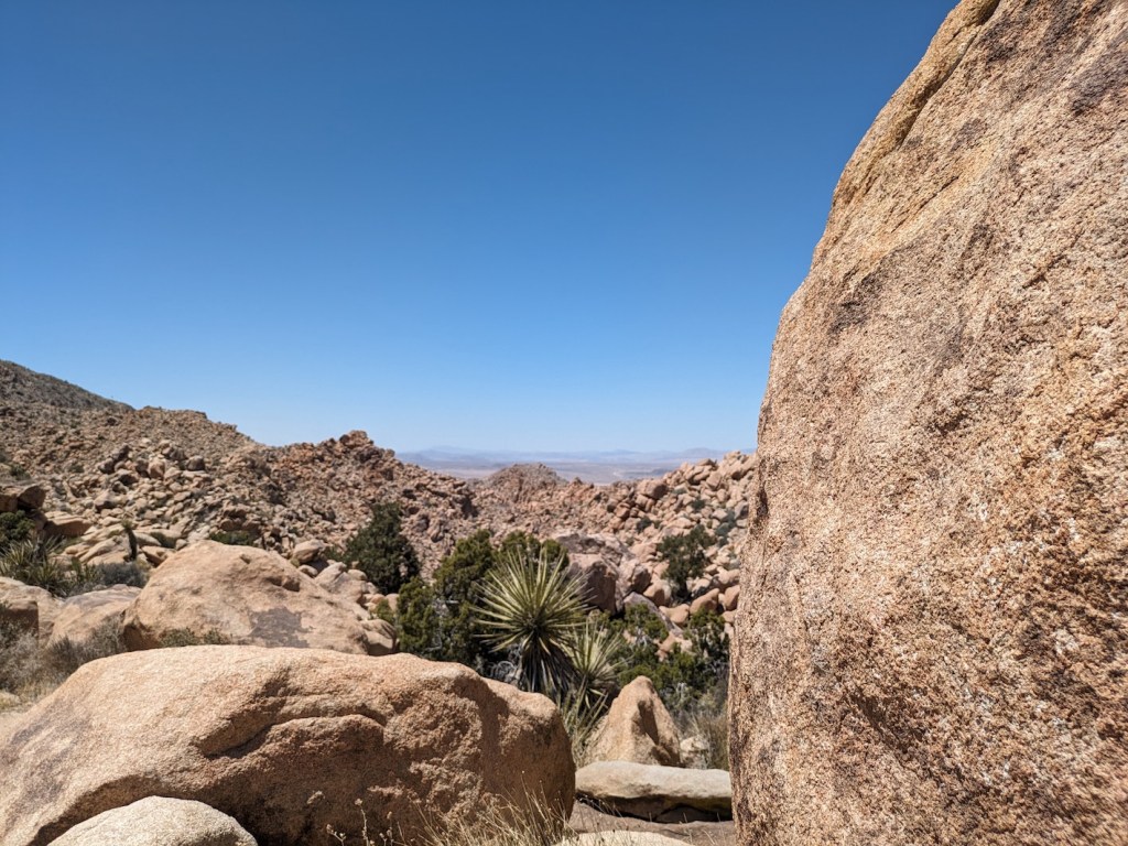
First peek of the northern plains again after the wash.
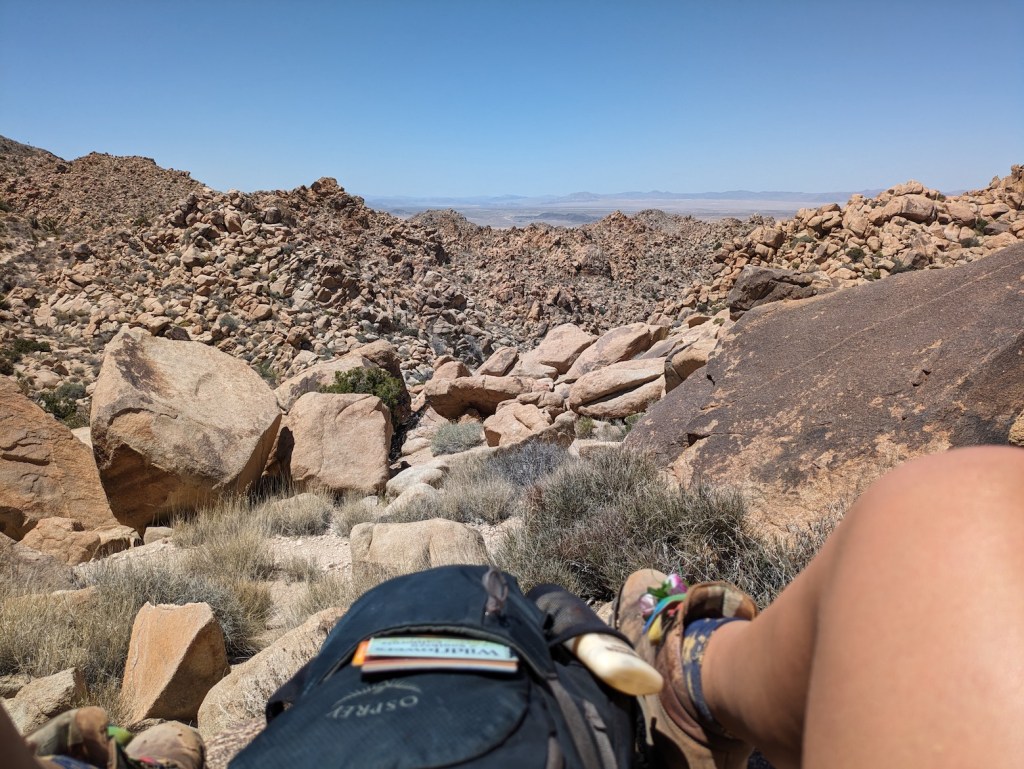
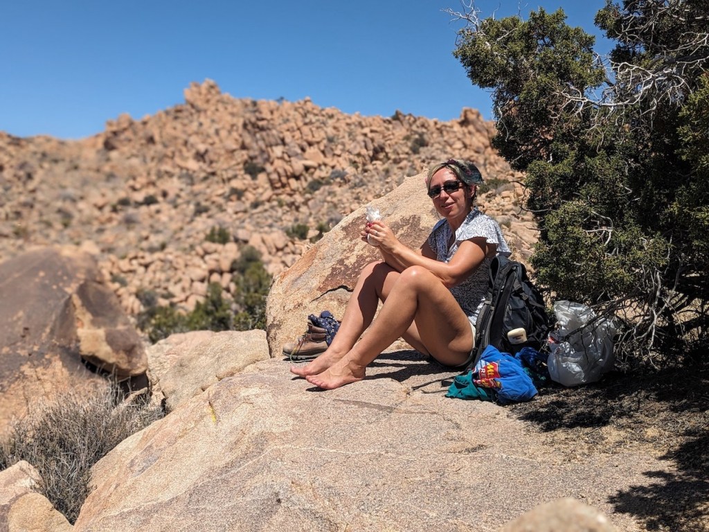
Perfect picnic perch.
Wending our way car-wards as the sun began to sink.
What a way to spend a Monday!