Distance: approx. 7 miles (11.3 km)
Time: 4 hours (including a 30-minute picnic stop)
Elevation gain: approx. [according to Google Maps] 1,637 feet (499 metres)
Difficulty: terrain-wise and navigation-wise, easy; fitness-wise, moderate
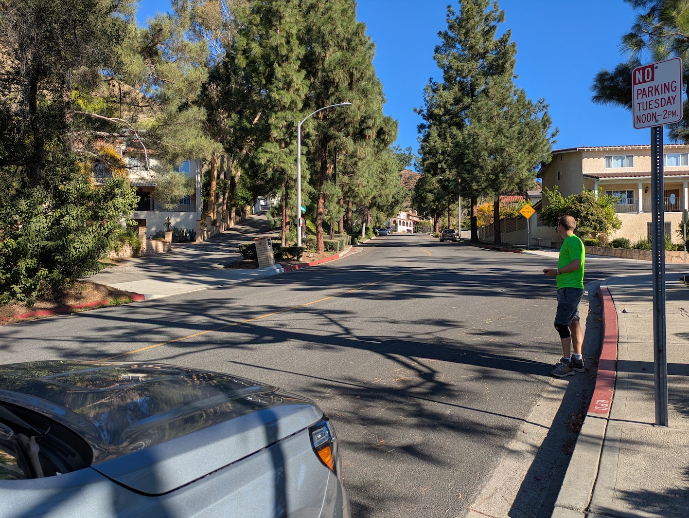
Drive: 15 minutes (13 miles) from old town Pasadena: Head along the 134 west to exit 146A for Victory Place/Hollywood Way, wiggle one block over onto Olive, continue all the way up to where it turns into Country Club Drive, then turn right onto Montana. The trailhead is at what Google Maps marks as 314 Skyline Mountain Way, at the junction of S Via Montana and Camino de Villas, Burbank, CA 91501.
Rattlers spotted: none
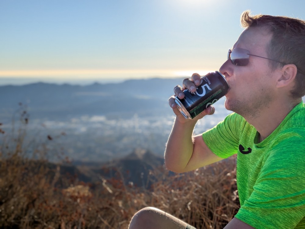
James turned 41 this weekend, and after a Joshua Tree autumn and a few days back in my home base of Santa Barbara, we treated ourselves to an LA break before James flew back to New York. We found a lovely Airbnb in Altadena, and after fun discussions of whether to do an old favourite hike or something new, and whether we’d prefer San Gabriels or Verdugos, we opted to keep driving minimal and find something new in the Verdugos. I spent some time on Google Maps to work out a route that would be doable before dark and easy to park near the start of, and I did a pretty good job, if I say so myself: a simple out-and-back up the Skyline motorway to the Verdugo motorway and along to the 2,656 f (810 m) Tongva Peak. Tongva is the second highest in the range after Verdugo Peak at 3,126 feet (953 m), and named after the Tongva (or Gabrielino) people, who I gather from Wikipedia were the original inhabitants of much of the Los Angeles Basin, Santa Monica Mountains, and San Gabriel Valley areas. We didn’t actually make it quite to the peak (which would add an extra 0.8 miles there and back, losing and then regaining a bit of ); this is a rare example of a route where that doesn’t feel like it terribly matters.
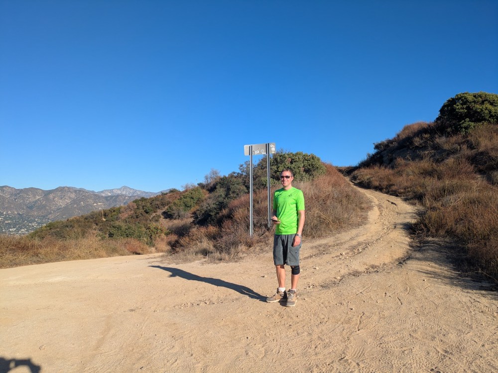
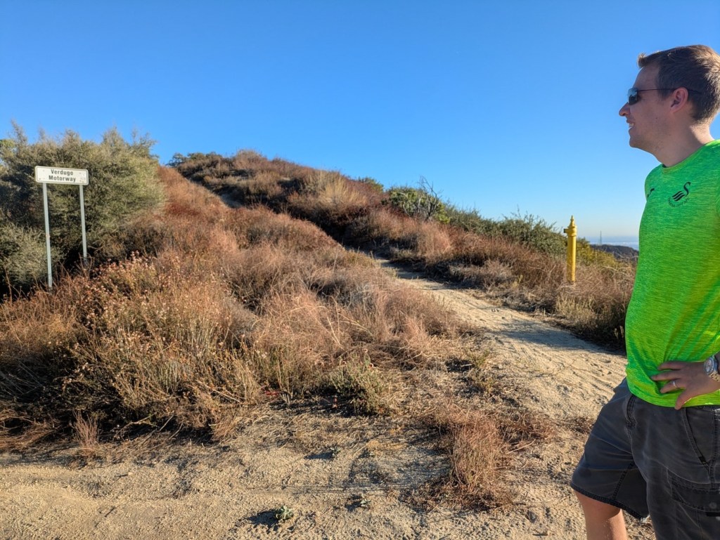
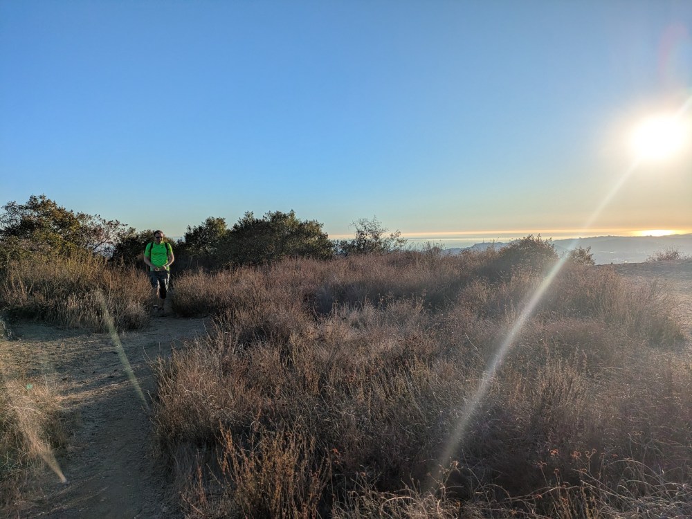
The drive down the 101 was surprisingly quick for a Saturday not-early morning, and the street by the trailhead had a sleepy suburbia feel. We were ready to set off by 1:20 on a glorious blue early winter day. To get to the trail, you go into what looks like someone’s driveway (shown here across the road from James) and then turn hard left.
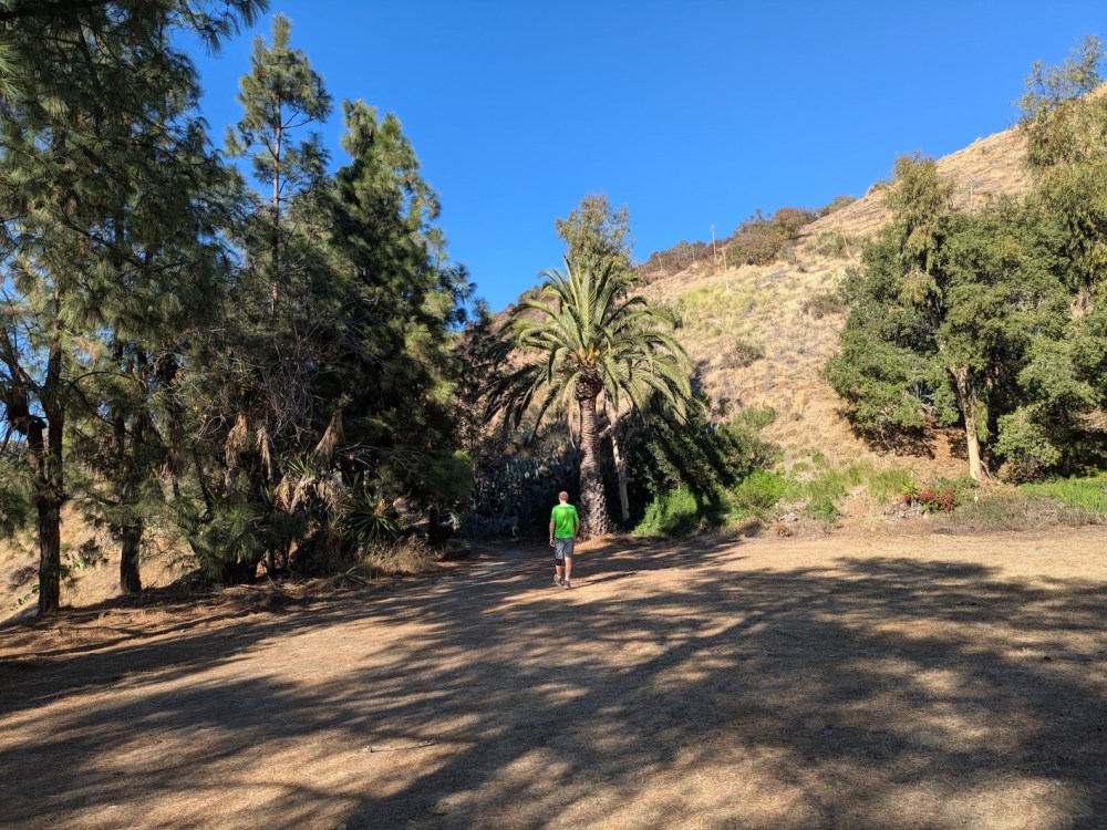
A rather fine Canary date palm specimen guards the start of the trail.
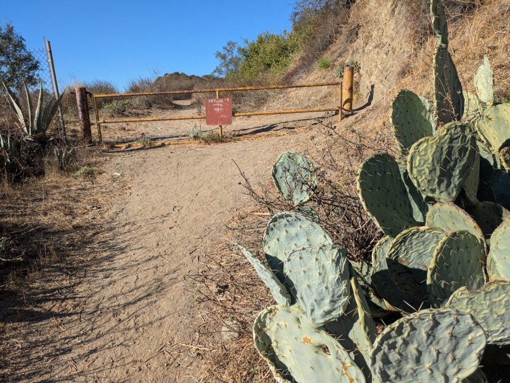
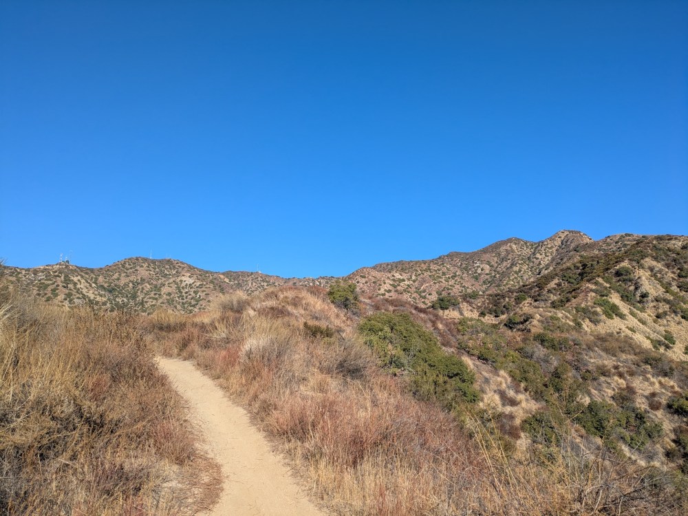
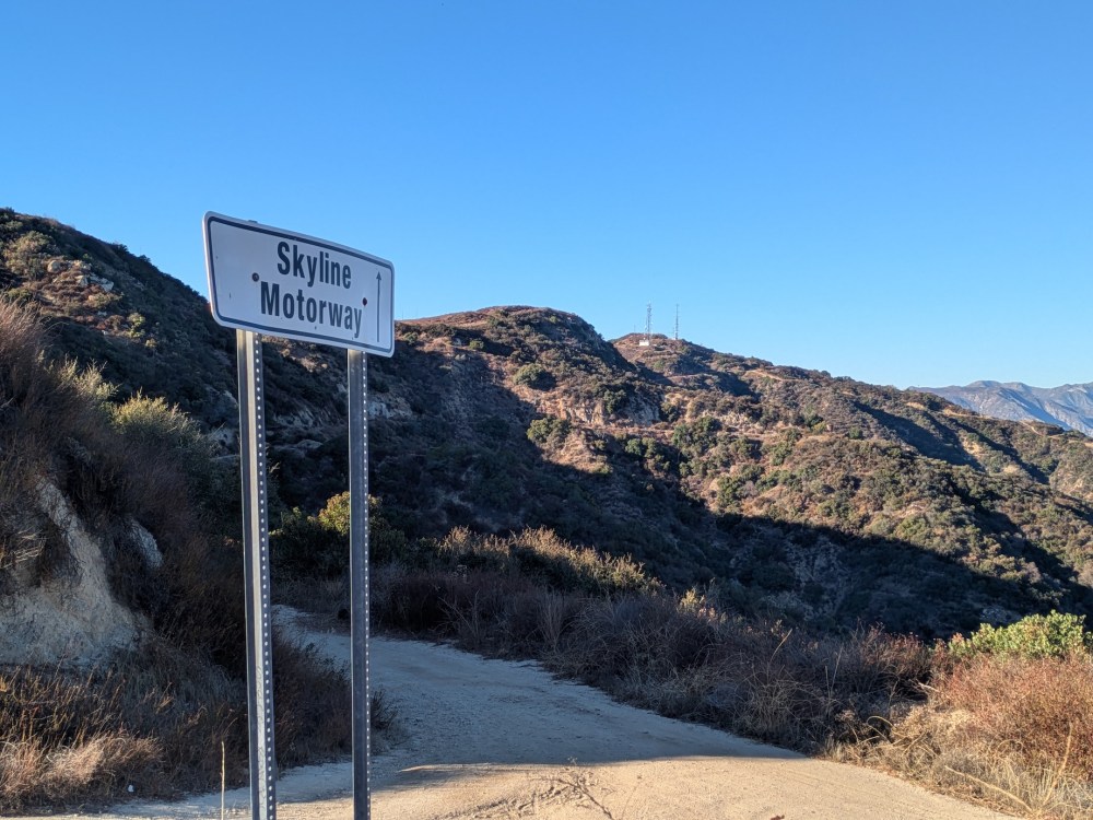
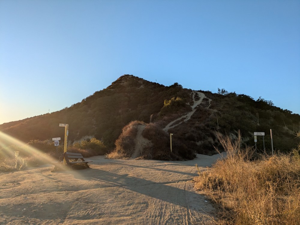
And then a minute later a gate marks the official start of the Skyline “mountainway”—a much prettier name than the motorways that follow.
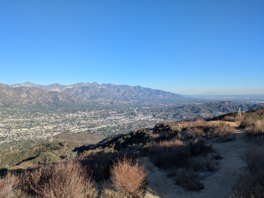
Only 20 minutes’ steady climb later, you already have splendid Burbank views down along Olive Ave towards Universal.
The climb continues, with the Verdugo Peak masts coming into view to the north.
Stopping to look back, the views of Glendale and the wider city to the southwest are already great too.
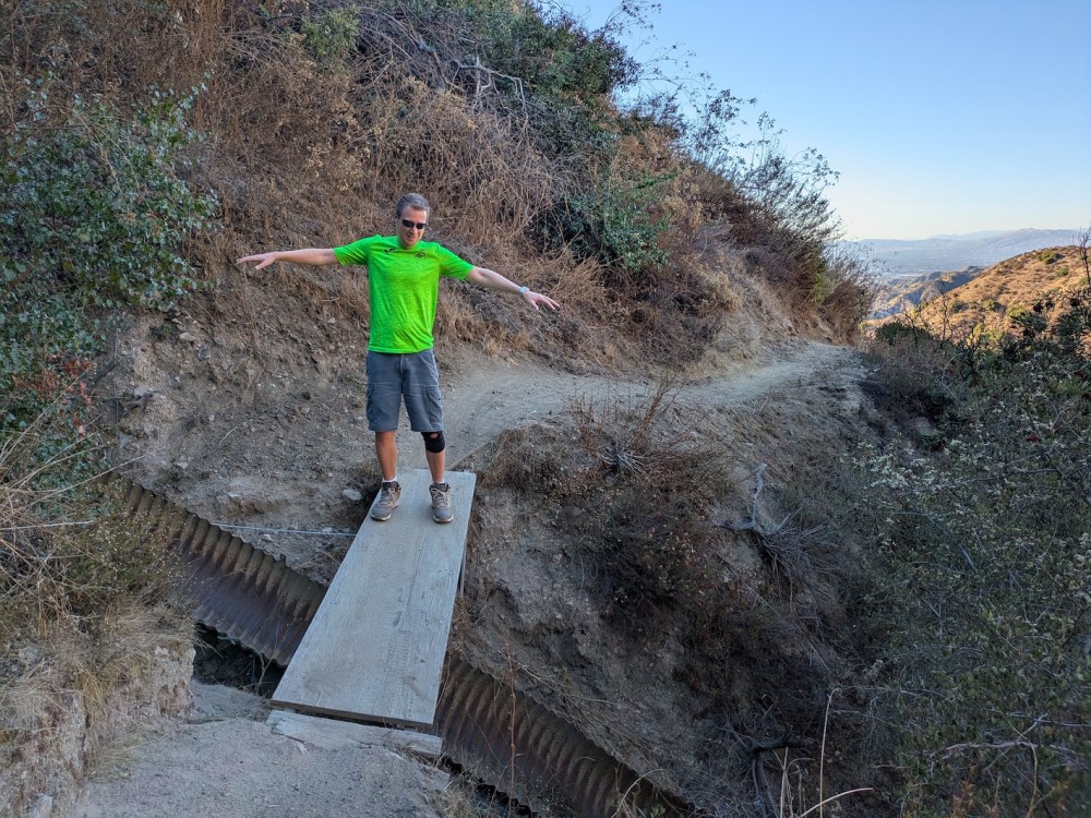
After another half hour or so (about 55 minutes from the start), you get to a little plank bridge over a drainage channel.
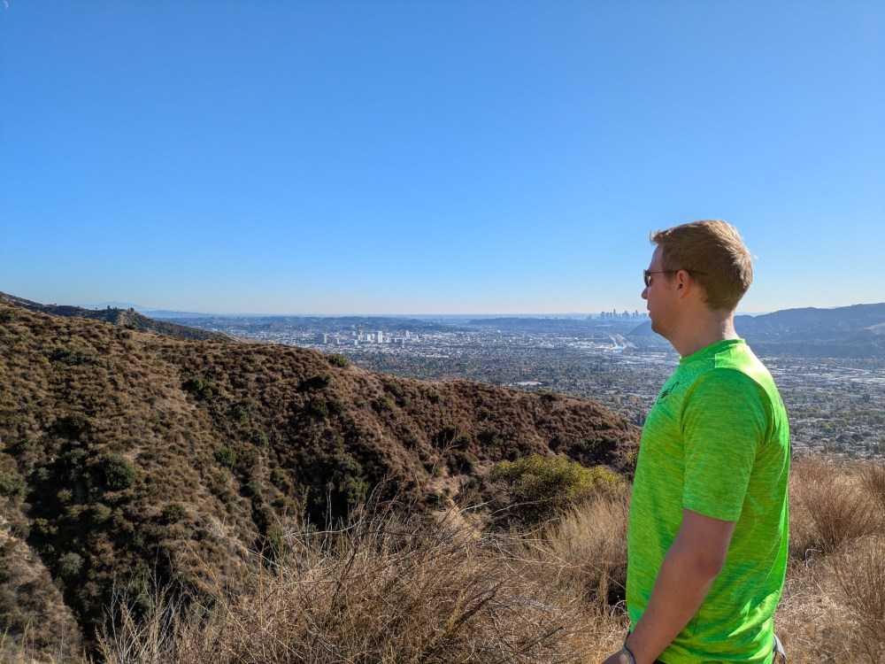
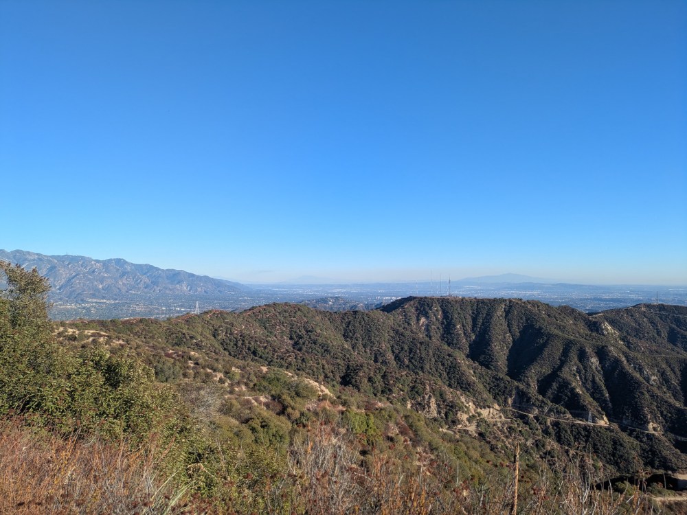
By an hour in, you have splendid views of DTLA and the Pacific directly south, with the Catalinas unusually well defined today:
Then, about 90 minutes and 2.7 miles in, you reach the point where the Skyline mountainway meets the Verdugo motorway, which runs roughly northwest (from La Tuna canyon) to southeast (meeting the Beaudry South motorway) along the central spine of the Verdugos.
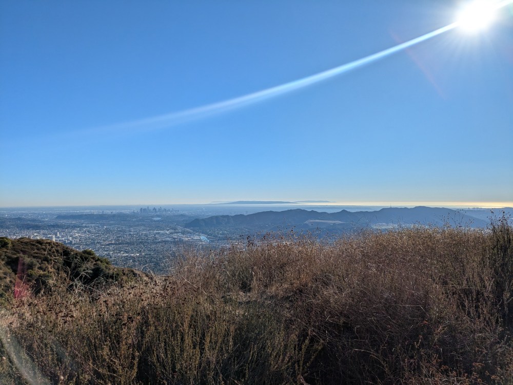
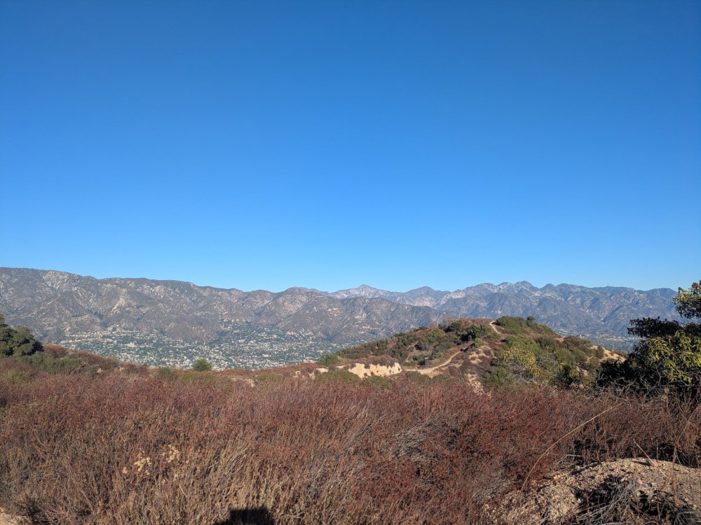
Here the views become 360° vistas. You have the eastern half of the Verdugo ridge foregrounding the San Gabriels to the northeast and San Gorgonio in the San Bernadinos to the east:
And to the northeast you have La Crescenta nestling in the San Gabriel foothills, stretching away to Strawberry Peak, the tallest and by far the scariest in the front range (I’ve always vaguely thought that the name must come from the pale rock looking like when you dip a strawberry in icing sugar, but that image makes the vertiginous reality sound much too homely!):
It felt nice to be ambling on the level and slightly downhill now, soaking in the easterly views. A few minutes later, here’s the front range looking pretty splendid, with Montrose down below framed by the 210 and the 2. (Heading south along this little bit of the 2 heading across the edge of the hillside towards Glendale is one of my favourite stretches of freeway anywhere; coming over the little crest to see the sun-soaked Glendale high-rises ahead somehow always reminds me of the last run back down to the ski resort at the end of the day.)
About 0.2 miles from the Skyline/Verdugo junction, the Brand Park motorway ascends from the south to join the Verdugo.
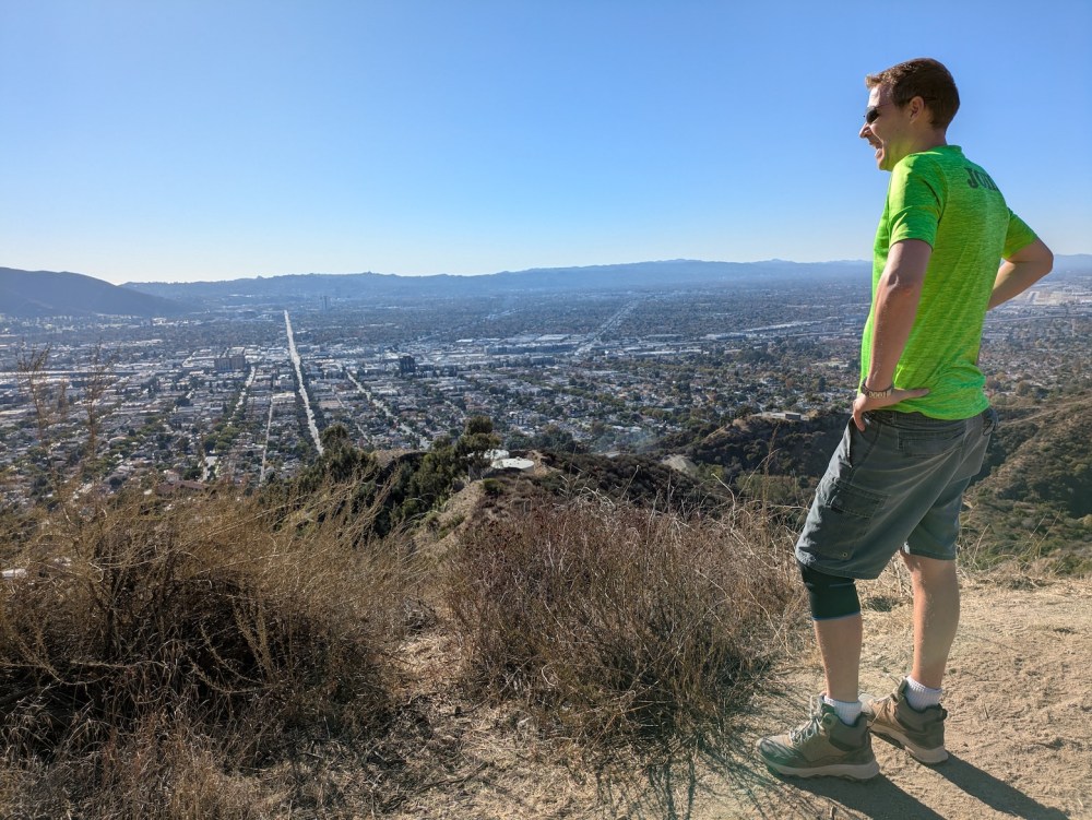
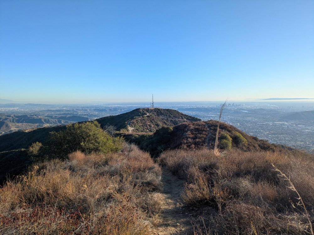
About half an hour and 0.8 miles after reaching the Verdugo, it turns into the Beaudry North motorway, which meanders down to the Beaudry Loop trailhead—my home base when staying on Dora Verdugo Drive in 2022 (still plenty of Verdugo variations to catch up on from back then!). Instead we kept right to take the smaller trail towards Tongva Peak. Here’s Tongva making a rather fetching centrepoint to the city and ocean backdrop.
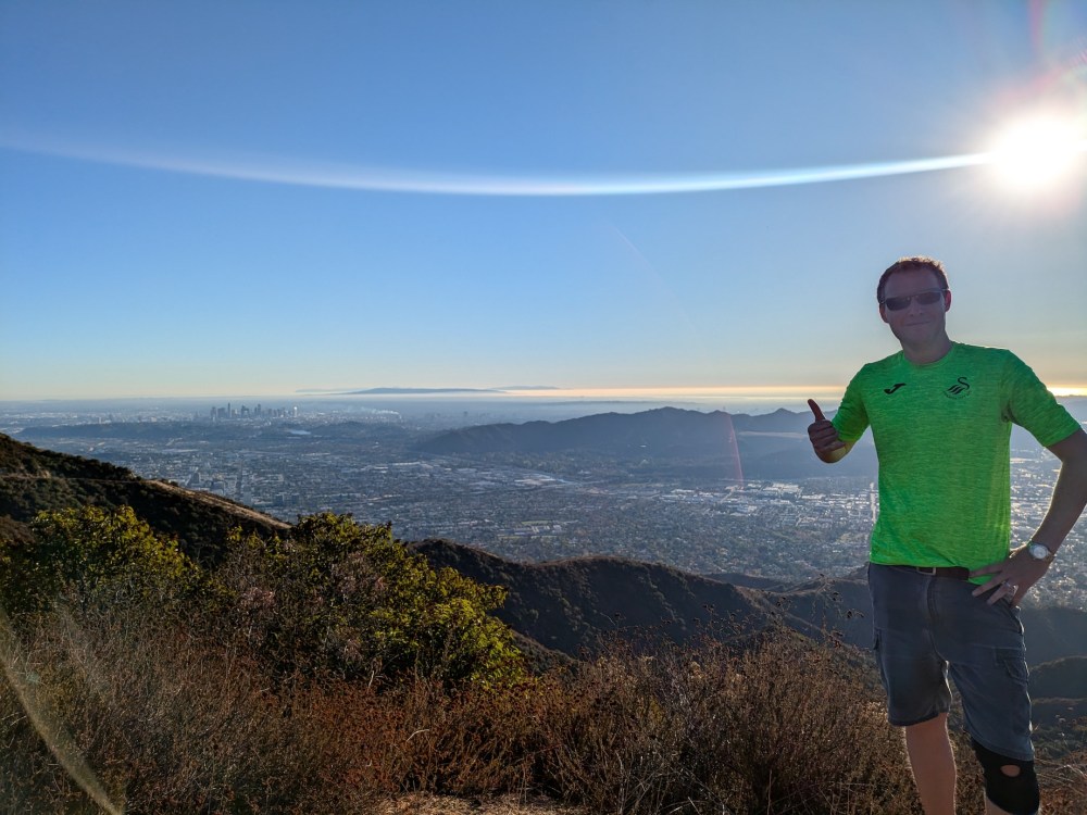
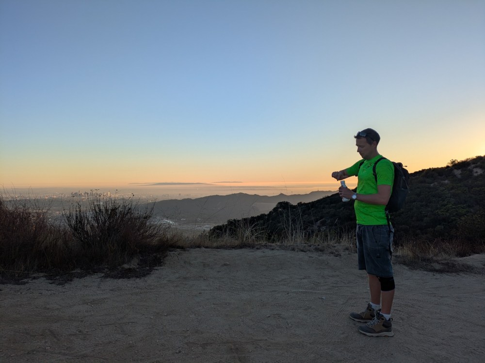
Birthday boy approves.
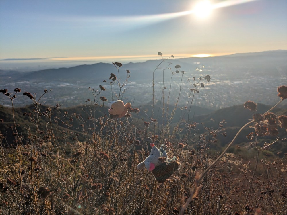
Rather than pressing on to Tongva itself, we decided to call it a day near the start of the small trail to the peak. We found a lovely perch for 805s and the rest of the picnic.
And the Boys enjoyed themselves whilst we ate.
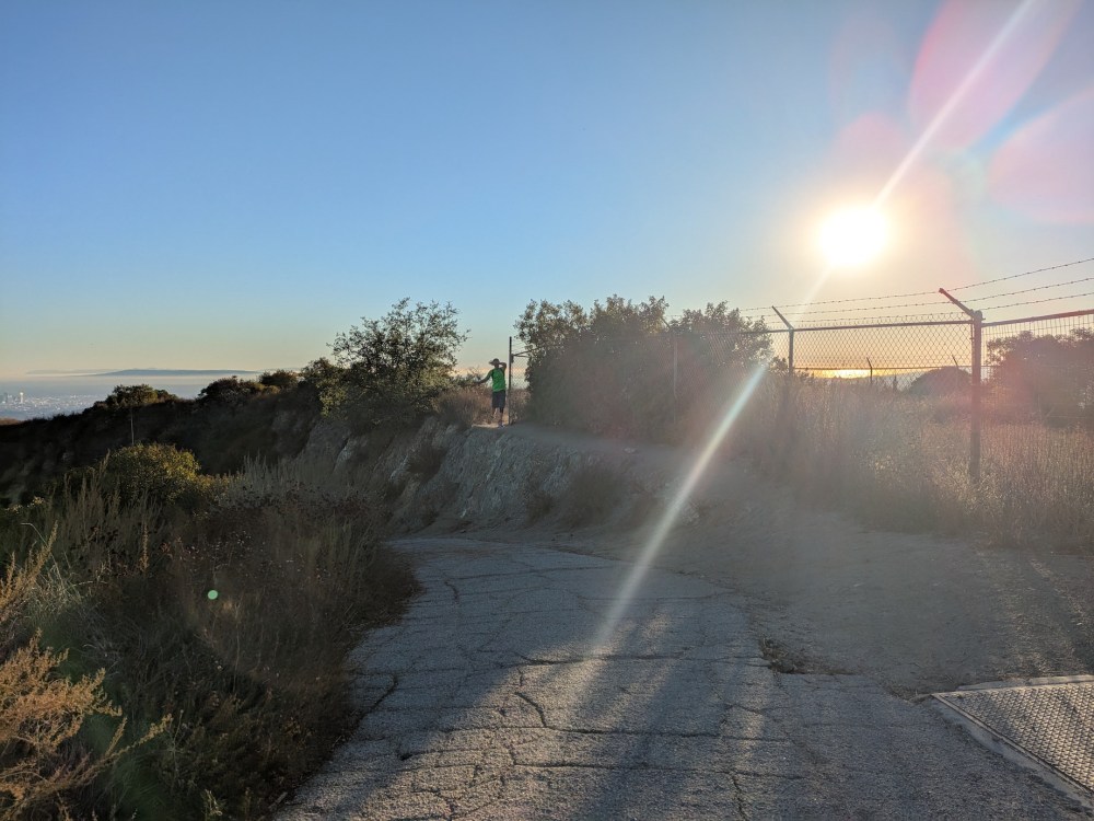
The sun was sinking fast, so we kept our stop to about half an hour and threaded our way back to the motorway past the antennae enclosure.
Then it was 20 minutes back to the Verdugo/Brand junction, even prettier now in the sunset light.
By 4:20 lots of the motorway was in shadow.
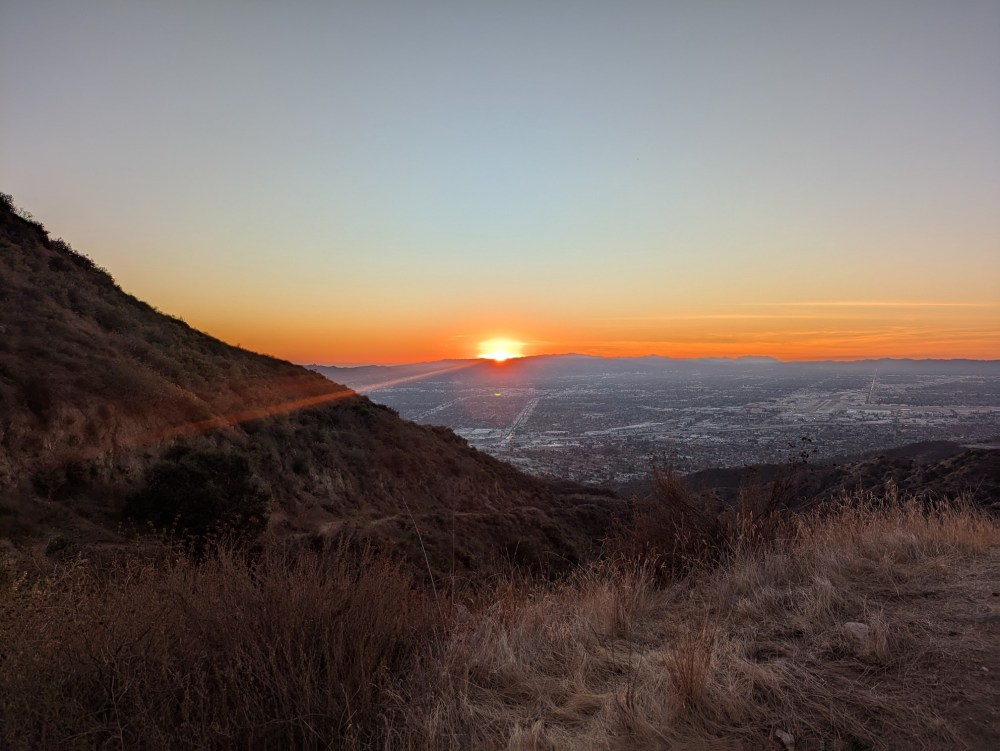
By 4:45, back on the Skyline mountainway, the sunset was in full swing.
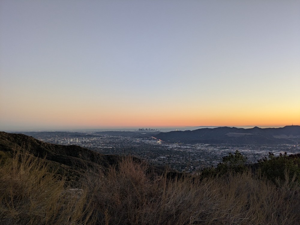
Glendale, Griffith Park, and DTLA were looking lovely in the twilight by 4:55.
And I didn’t actually record the time we got back to the car, but I noted in my diary the next morning that “We finished the hike just as dusk was falling”, and I think it was about another 25 minutes or so later, bringing it to a total of 4 hours since setting off.
To round this off, here’s what else I wrote in my diary in bed on Sunday morning (sorry Santa Barbara!):
It’s so lovely to be back in LA. Our Verdugos hike was the perfect way to savour it: under 2 hours’ drive, there by 1:20, then four hours in the heat with the scent of the late-season wildflowers and brush, with the views opening up instantly over Burbank and downtown to the south, and then once we got up to the ridge, out east over the San Gabriels and the San Bernadinos as well. It was fun working out where things were, and it felt like the best way to be immersed in this glorious city. I said to James sometime during our twilight descent, “I love this city”, and he said “It loves you back”, which is an interesting way to think of it. Everything looks and feels and even smells better here than in the hills around SB; […] it’s all so tame [there] compared to here; in a weird middle ground between the wildness of the American west and the domestication of England. Whereas LA knows no middle grounds; you’re right into the steep canyons and the huge views from the very beginning.
So, if you want a not terribly taxing and terribly panoramic way to get a sense of LA as a whole, I can’t think of any better way than this. The Verdugos are far less dramatic than the San Gabriels, but for the beautiful juxtaposition of city with semi-wilderness, and for the all-around views they give you of this entire strange grand Angeleno metropolis, they cannot be matched.

One thought on “Verdugos: Skyline Mountainway and Verdugo Motorway”