Distance: 2.3 miles (3.7 km)
Time: about an hour
Elevation gain: 300 feet (90 m)
Difficulty: terrain-wise, easy; navigation-wise, easy; fitness-wise, easy
Drive: about 2.5 hours (135 miles) from old town Pasadena, east on the 210, the 10, and the 62, and then take the right fork on to Yucca Trail, which becomes Alta Loma Road. Turn right on Sunny Vista and drive to the very top of the road, parking on the verge. (Google Maps has the trailhead marked as Friendly Hills Hike. You could also begin at what Maps called Nancy Karl Trailhead Southeast (even though it’s actually the northernmost part of the loop), just off Sunset, but then you’d have to do the stick of the lollipop in both directions one after the other, or skip it.)
Rattlers spotted: zero
There’s a description from a local website Z107.7FM here, and AllTrails has it, but starting on the east side.
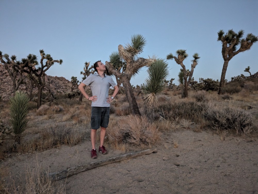
This was our first hike and our last, bookending our two months in Joshua Tree from October to December 2024. The first time was on our very first evening, and we only went a hundred metres or so along it, taking in the magic of being in the desert and of having two whole months to be there.
The loop had the advantage of being walkable or cyclable from our Airbnb on Saddleback Road (we didn’t have a car for most of our time there), and on that first twilit foray we assumed we’d be back there often. We actually only did it twice more, once for a Friday morning breakfast hike complete with boiled eggs, and once on the morning we left. (We also made one abortive attempt on the night of the October supermoon: I stupidly forgot the key to our bike lock and decided it would spoil the experience to be worrying about them getting stolen the entire time. So we went back home and had an atmospheric campfire instead.)
This trail is a lovely way to feel like you’re in the Park without being, if you’re staying locally and want something quick and easy to get a feel for the place, or just to break up your day with something more like a stroll than a hike. The land is owned by the Mojave Desert Land Trust, and the trail is named after a former director of the Trust.
The trail begins with a little incline.
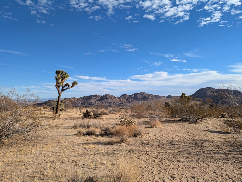
Right from the start, you feel like you’re properly in the wilderness (but with the benefit of a nice smooth wide unlosable trail).
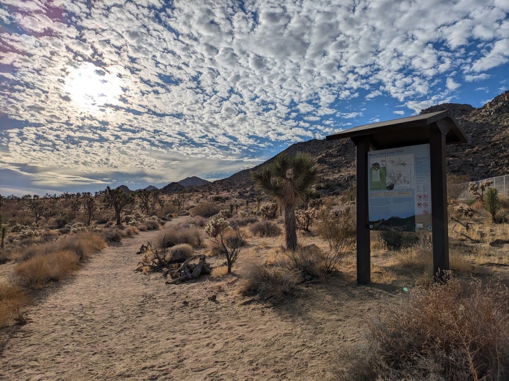
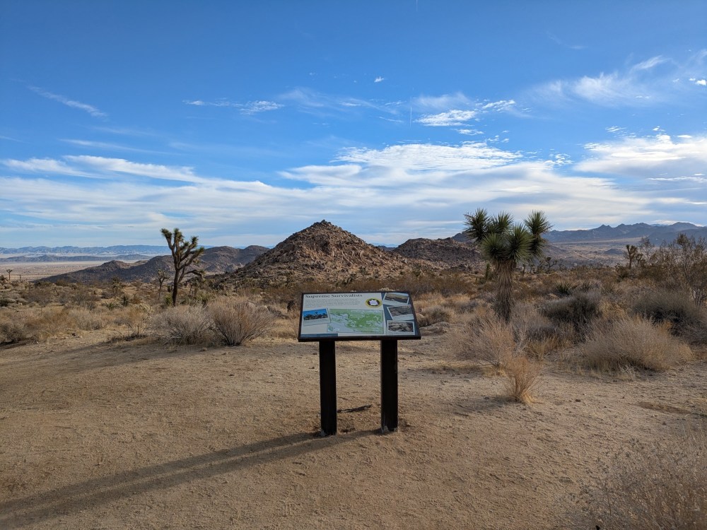
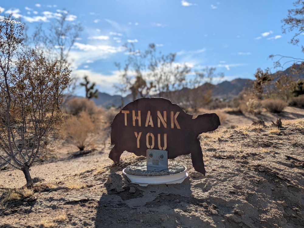
After a few minutes you get to a junction with a nice sign about the “supreme survivalists” that are the Mojave tortoises. It includes the crucial info that one reason not to try to touch a tortoise if you’re privileged enough to spot one is that if you do, it might urinate, and losing its urine might kill it. A titbit worthy of my second ever book (written with my stepfather Adam Hart-Davis), Taking the Piss: A Potted History of Pee. And a good precise reason to just let the other creatures be.
Here you can go either way, taking either the more northerly or the more southerly part of the loop first. We did it both ways and had no strong preference! Here’s James weighing the unimportant choice.
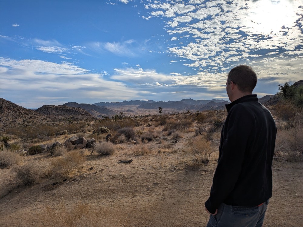
The rest of this description assumes that you chose to go left (north) at the fork. Whichever way you go, you get lovely views over to the hills at the western fringe of the Park.
This is the north/southeastern trailhead, off a little spur from Sunset Road.
On this version of the loop, you head east and turn right onto Sunset.
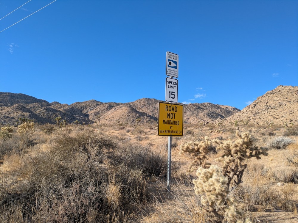
Heading south for a few minutes gives you more nice tortoisey signage…
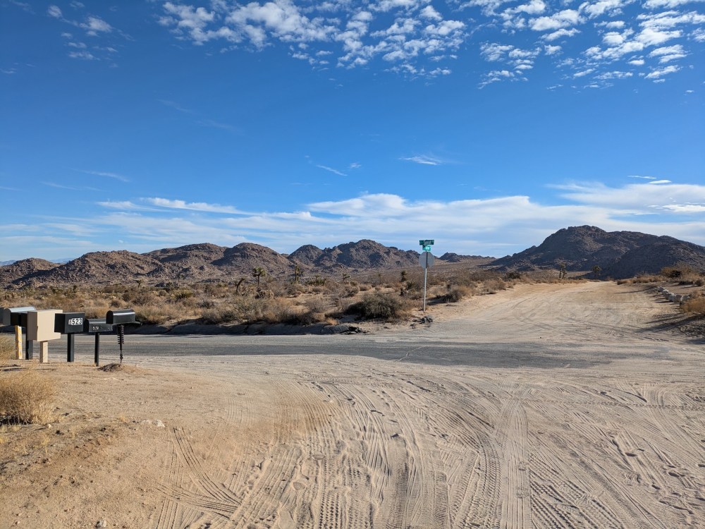
…and the County’s standard disclaimer for when a road turns into a dirt road.
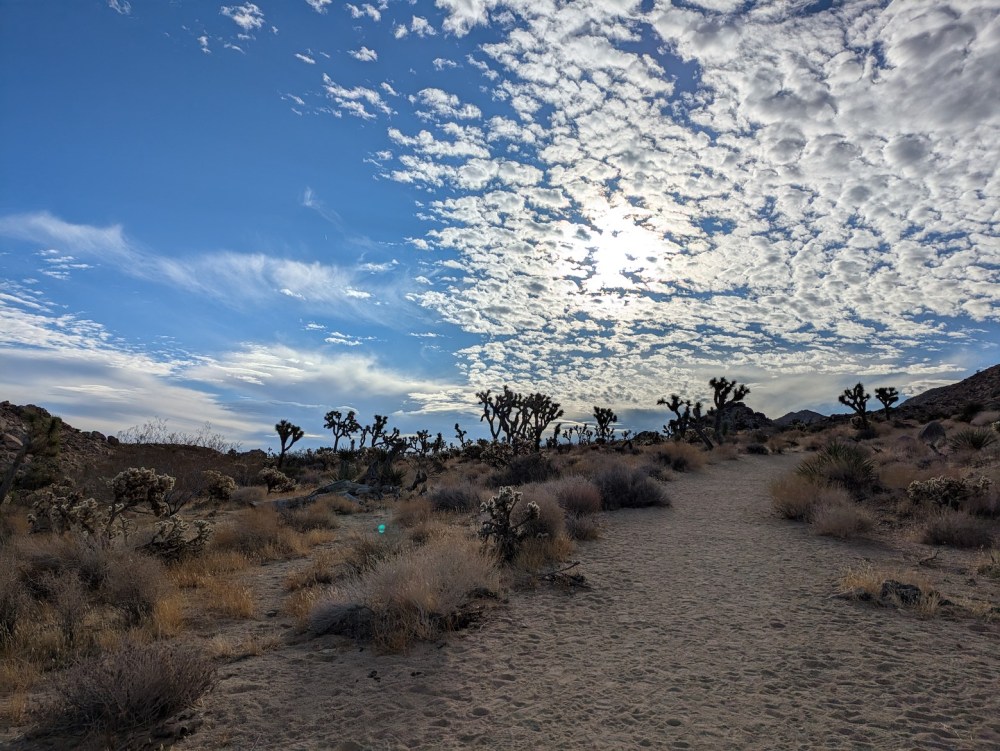
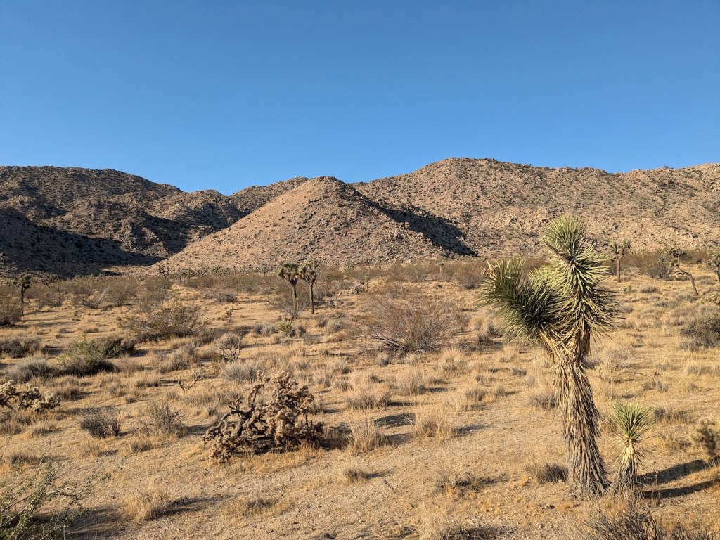
And then you wend your back, gently uphill at first, through fetching Joshua Tree- and cholla-studded terrain, with the hills of the Park’s northern boundary to your left and smaller outcroppings to the south.
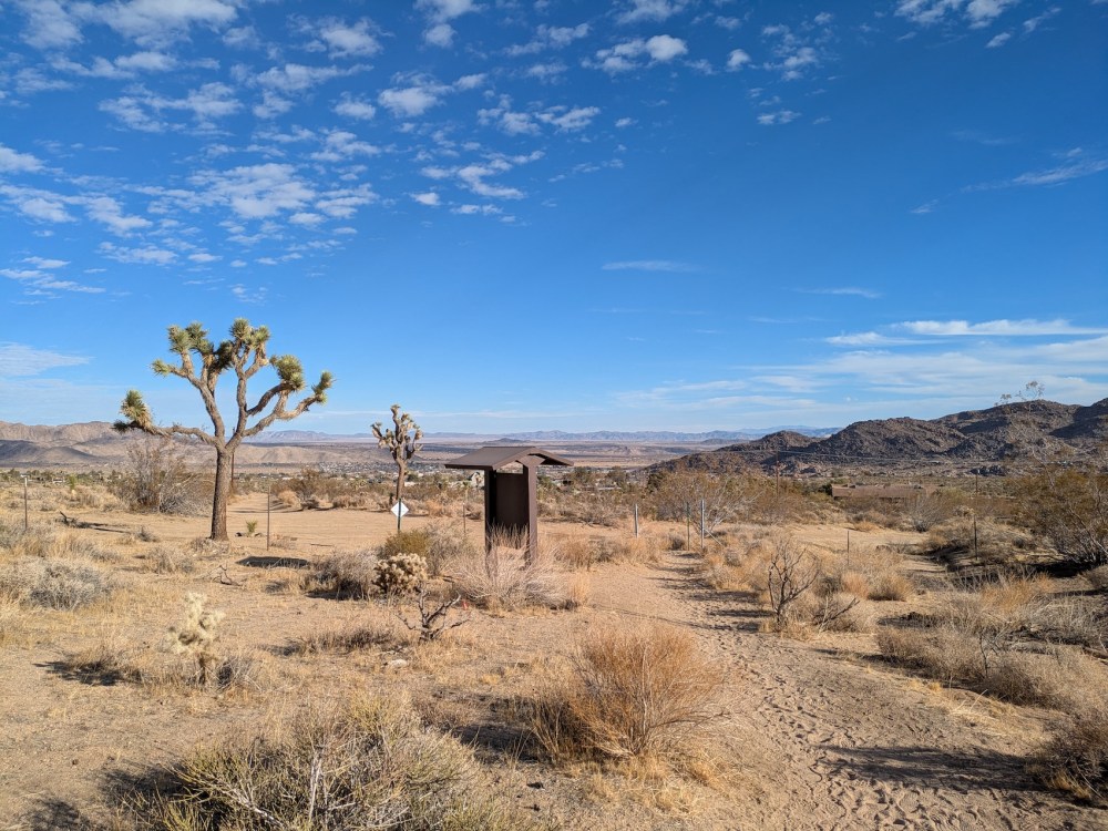
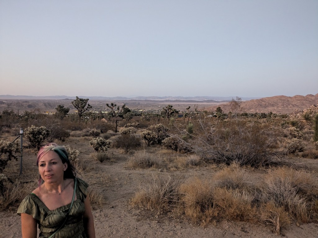
And, well, I don’t know what I was staring at quite so gormlessly (the trailhead sign maybe), but this gives you a sense of the views over the lights of Joshua Tree village from the end of the hike if you do it around sunset.
Thanks for being our local, Nancy Karl!
